Elevation of Britton, SD, USA
Location: United States > South Dakota > Marshall County >
Longitude: -97.750936
Latitude: 45.7916192
Elevation: 415m / 1362feet
Barometric Pressure: 96KPa
Elevation Map:
Satellite Map:
Related Photos:
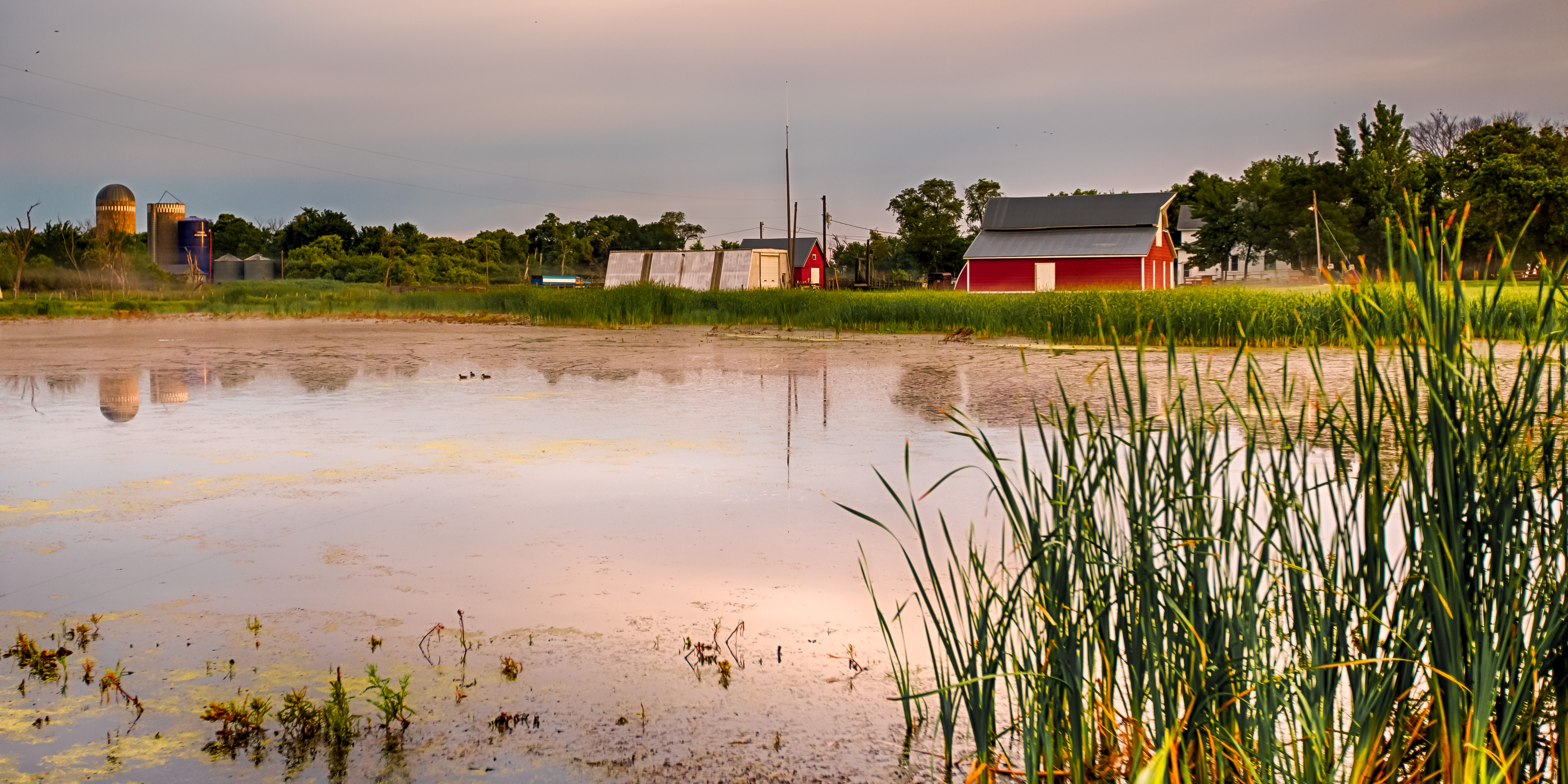
Farm Through the Cattails

IMG_5691[1]

IMG_5680[1]

IMG_5689[1]

IMG_5687[1]

IMG_5688[1]

IMG_5681[1]

IMG_5679[1]

IMG_5676[1]

IMG_5675[1]

IMG_5672[1]

IMG_5641[1]

IMG_5665[1]

IMG_5666[1]

IMG_5667[1]

IMG_5670[1]

IMG_5673[1]

IMG_5661[1]

IMG_5659[1]

IMG_5662[1]

IMG_5642[1]

IMG_5674[1]
Topographic Map of Britton, SD, USA
Find elevation by address:

Places near Britton, SD, USA:
Marshall County
Hickman Township
Langford
University Ave, Cogswell, ND, USA
2nd Ave, Havana, ND, USA
Havana
5th Ave, Claremont, SD, USA
Lake City
Sargent County
Day County
Hecla
Elm St, Hecla, SD, USA
Veblen, SD, USA
Gwinner
Groton Township
11103 88th St Se
Veblen
40930 137th St
Oakes
Groton
Recent Searches:
- Elevation of Corso Fratelli Cairoli, 35, Macerata MC, Italy
- Elevation of Tallevast Rd, Sarasota, FL, USA
- Elevation of 4th St E, Sonoma, CA, USA
- Elevation of Black Hollow Rd, Pennsdale, PA, USA
- Elevation of Oakland Ave, Williamsport, PA, USA
- Elevation of Pedrógão Grande, Portugal
- Elevation of Klee Dr, Martinsburg, WV, USA
- Elevation of Via Roma, Pieranica CR, Italy
- Elevation of Tavkvetili Mountain, Georgia
- Elevation of Hartfords Bluff Cir, Mt Pleasant, SC, USA