Elevation of 4, Ritter, NC, USA
Location: United States > North Carolina > Moore County >
Longitude: -79.492885
Latitude: 35.4778311
Elevation: 106m / 348feet
Barometric Pressure: 100KPa
Elevation Map:
Satellite Map:
Related Photos:
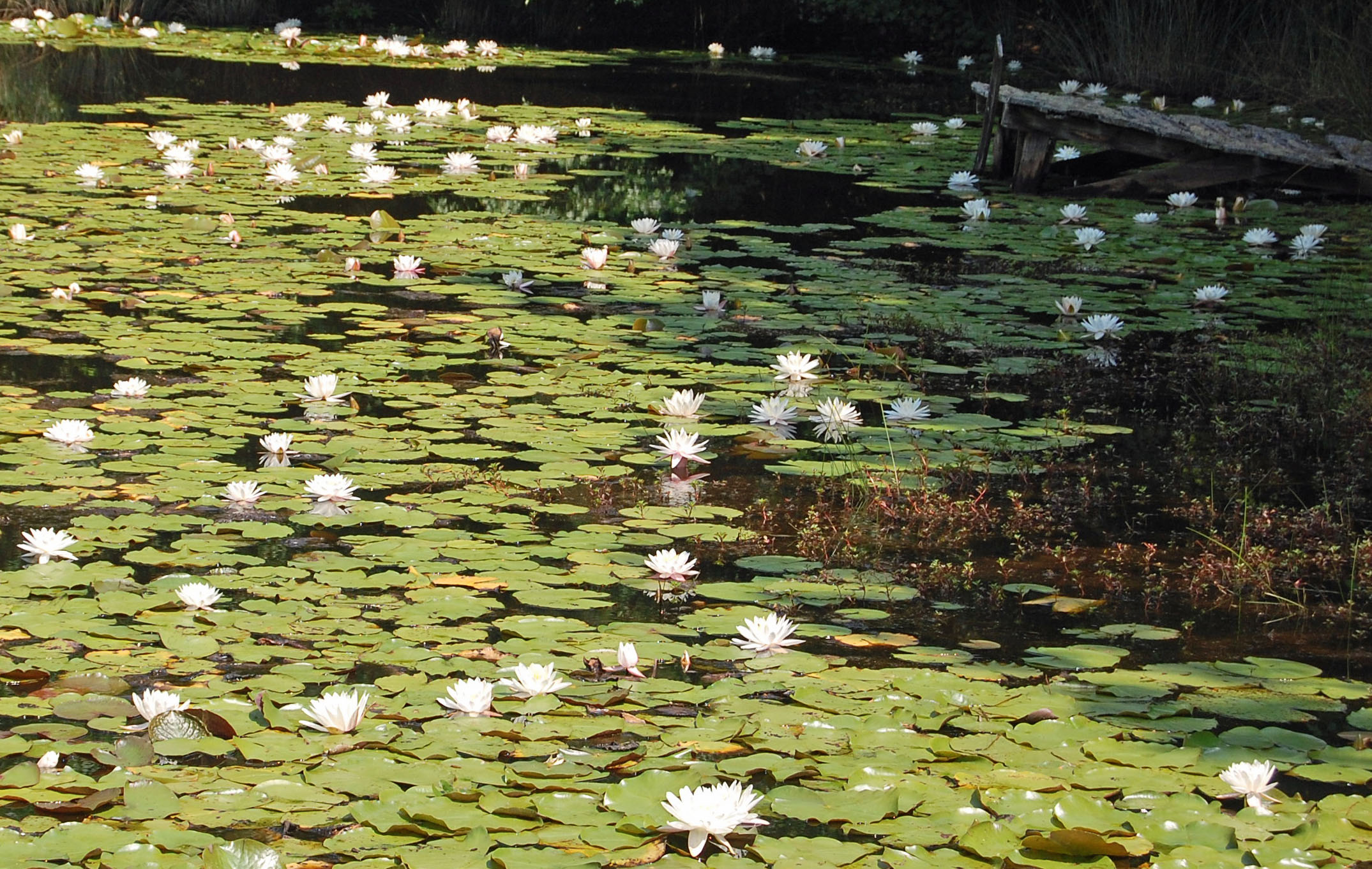
Not a Monet
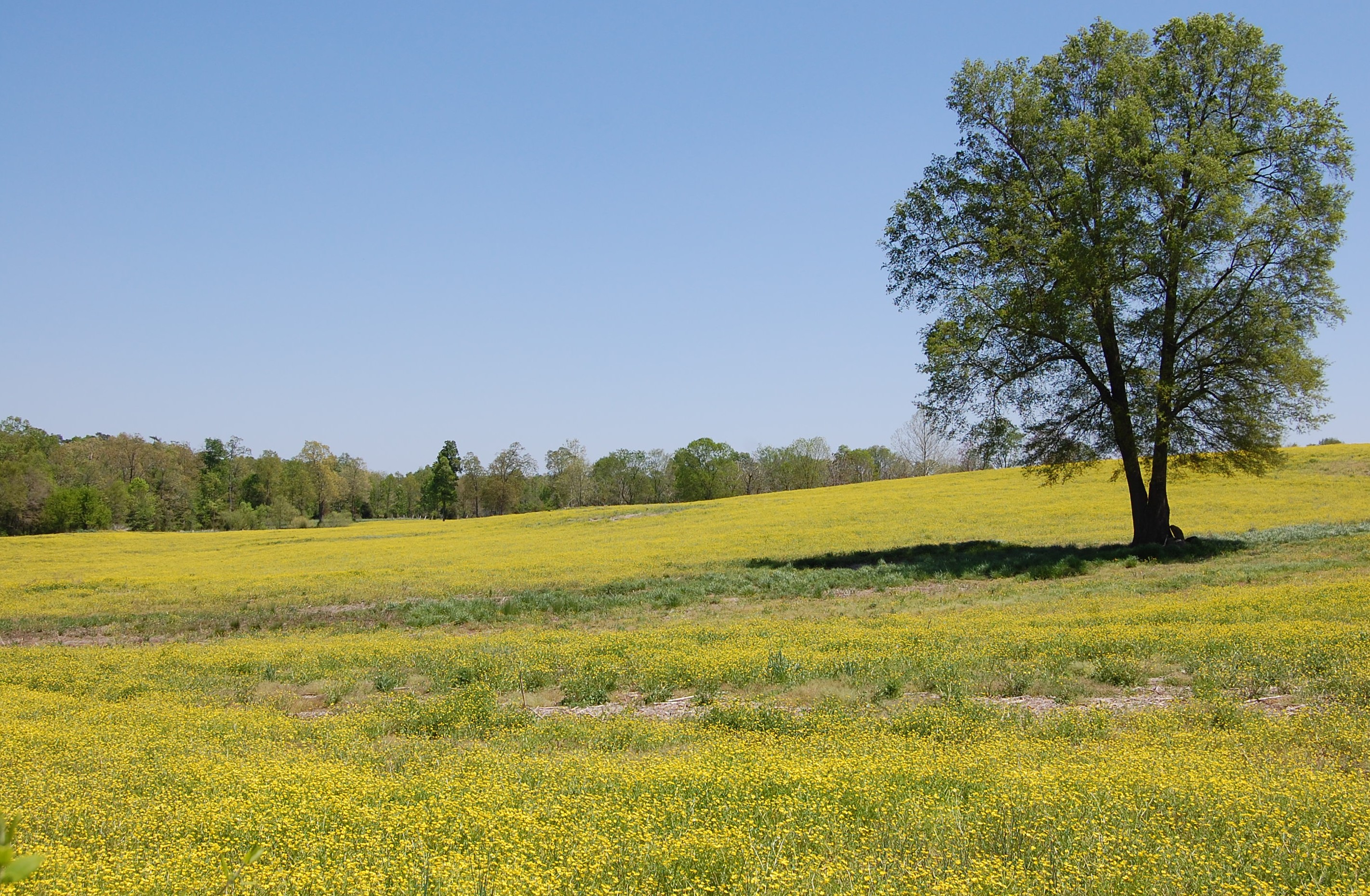
Fields of Gold

Running With The Devil
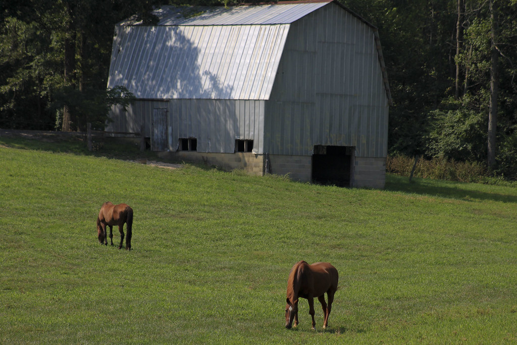
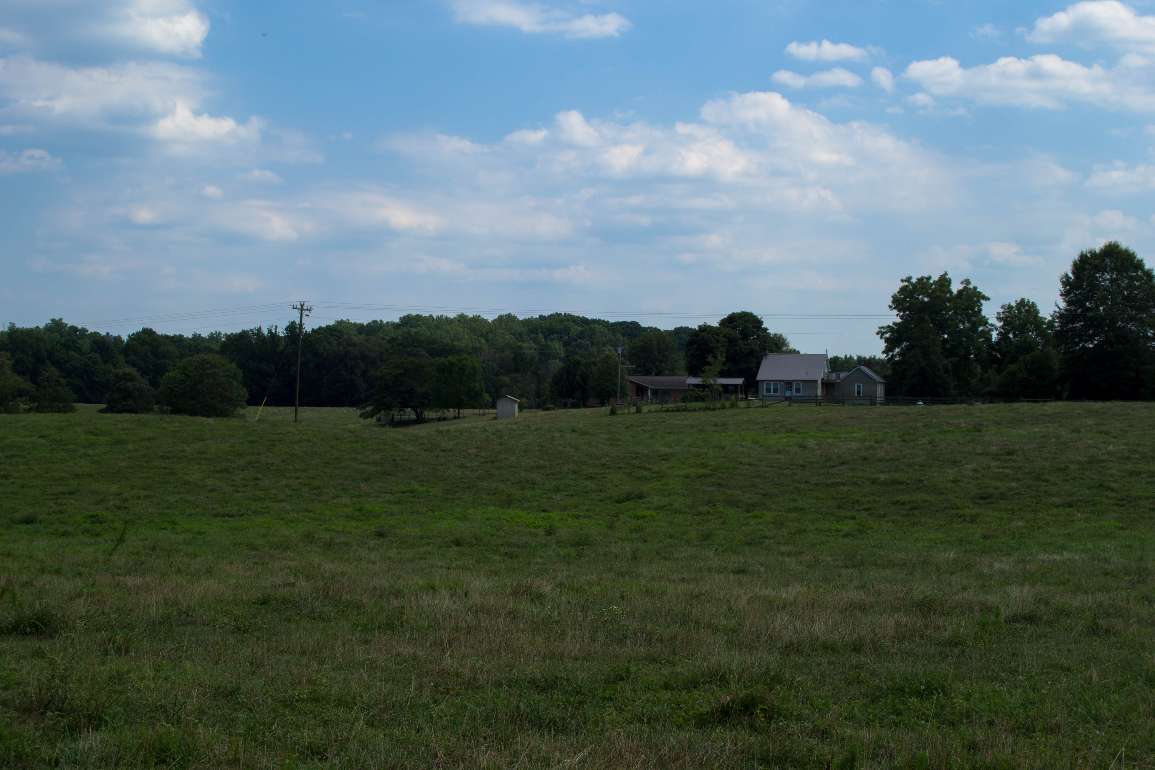
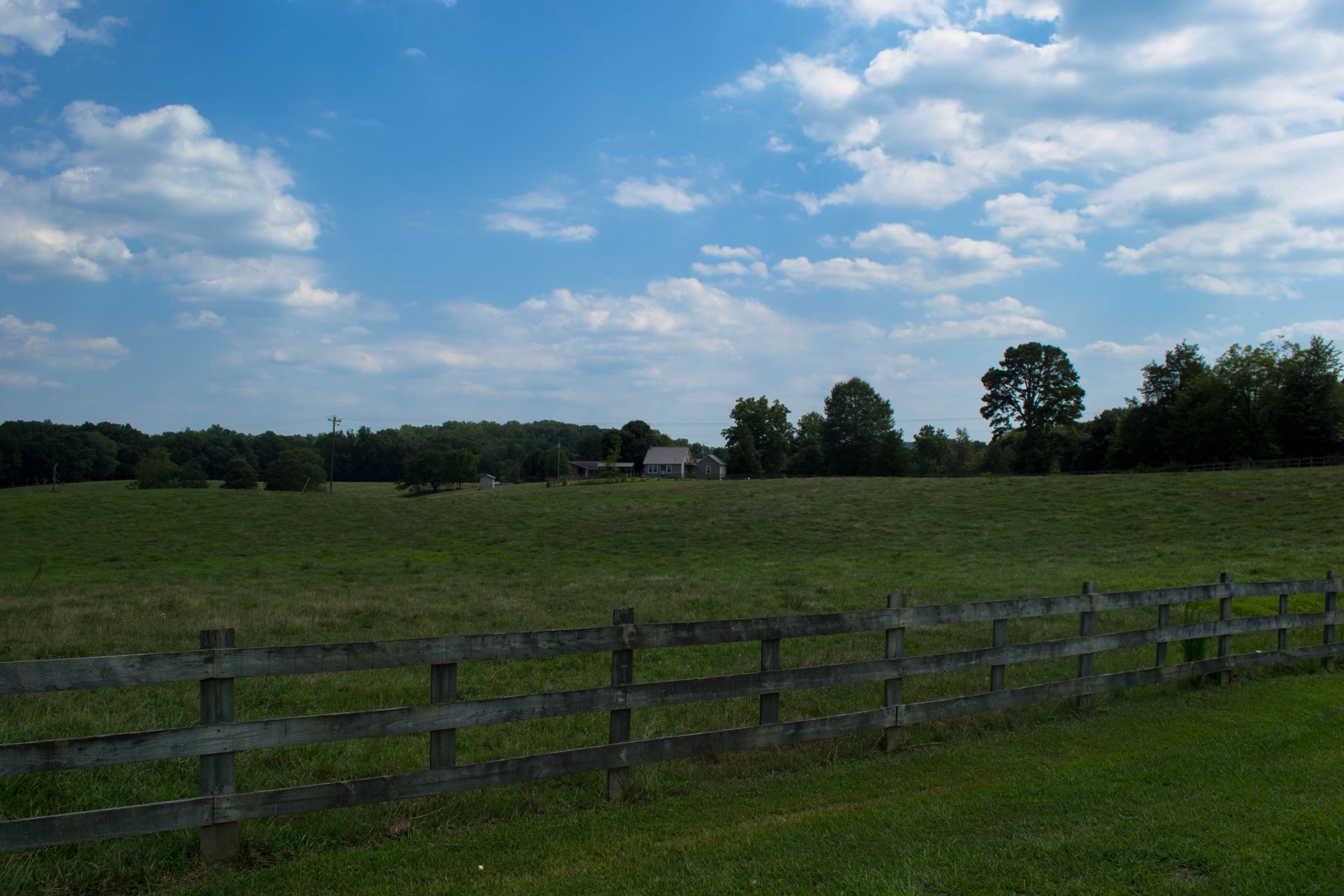
Grazing #1
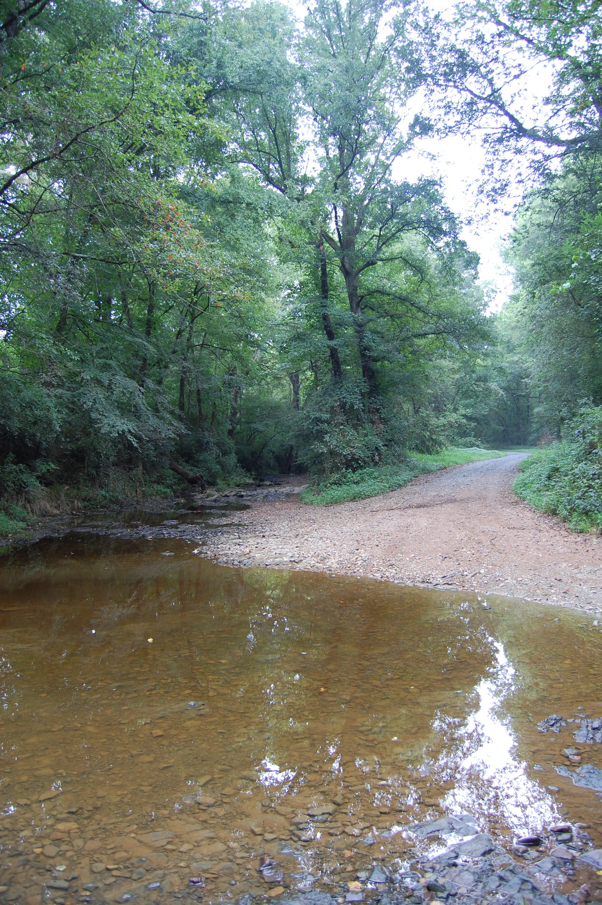
Flat Creek ford

Old Scotch Burial Ground
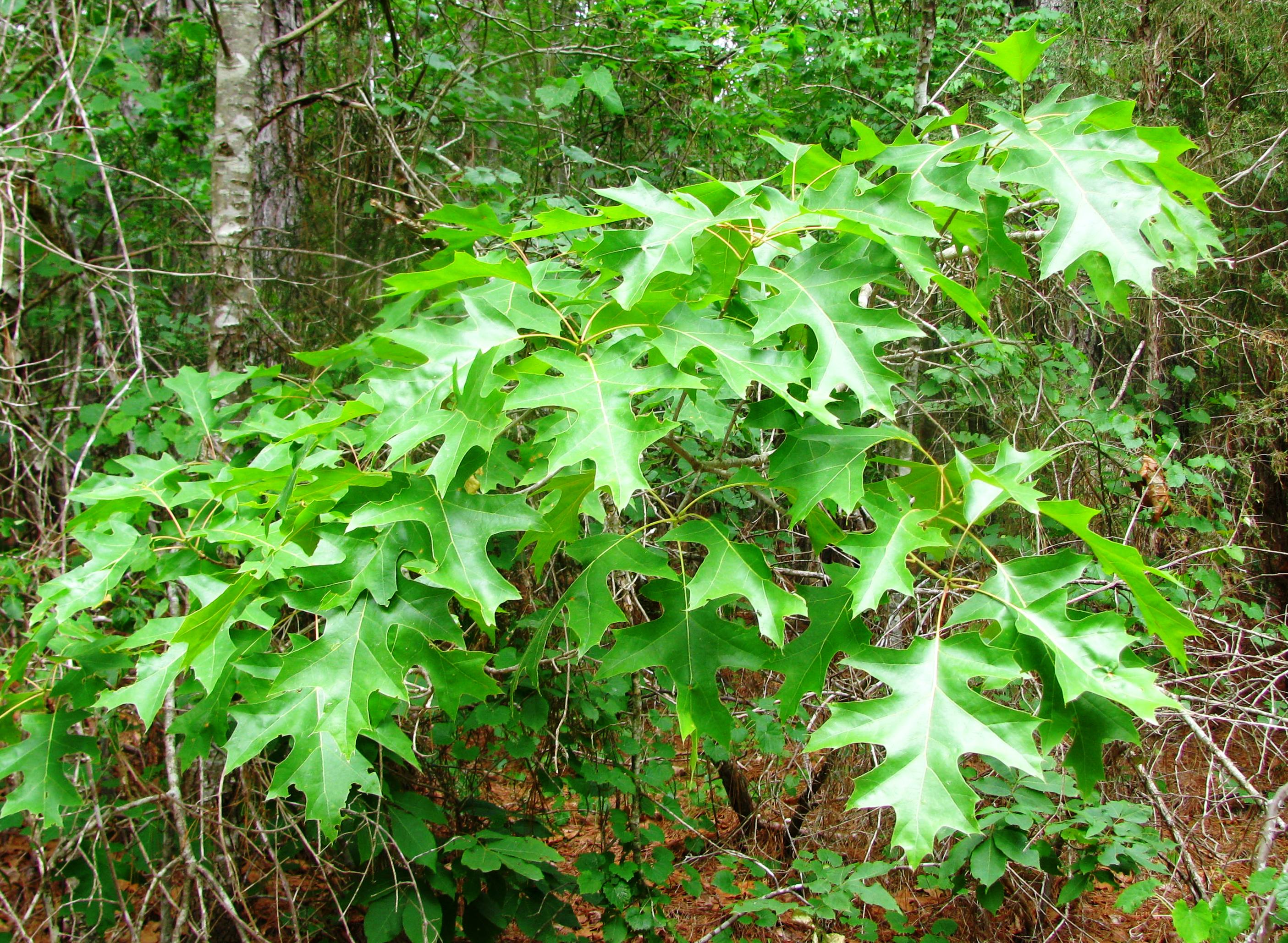
Quercus coccinea
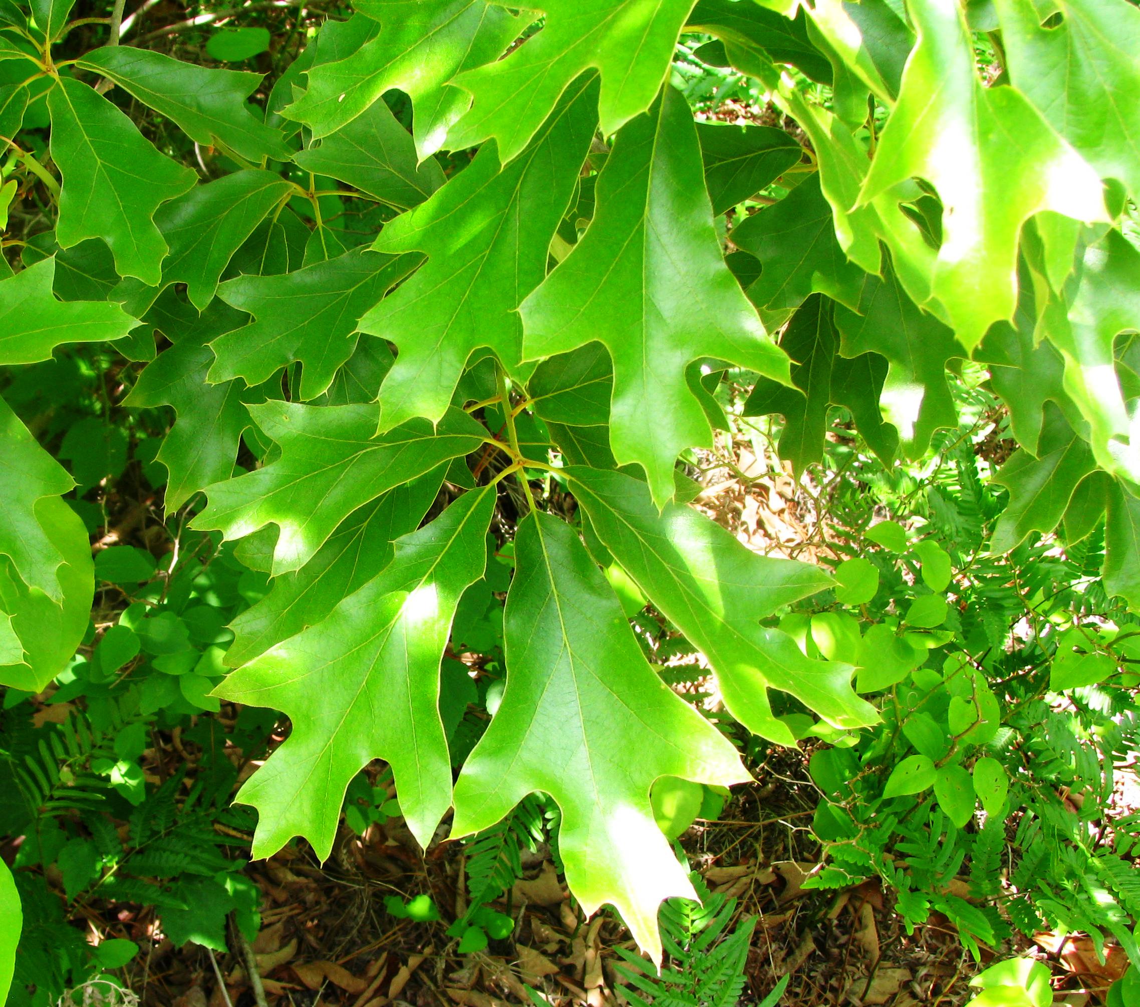
Quercus falcata
20150725-DSC_8202
20150725-DSC_8200
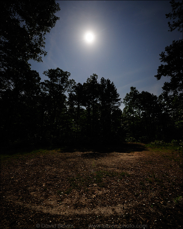
Full Moon over the Devil's Stompin' Ground
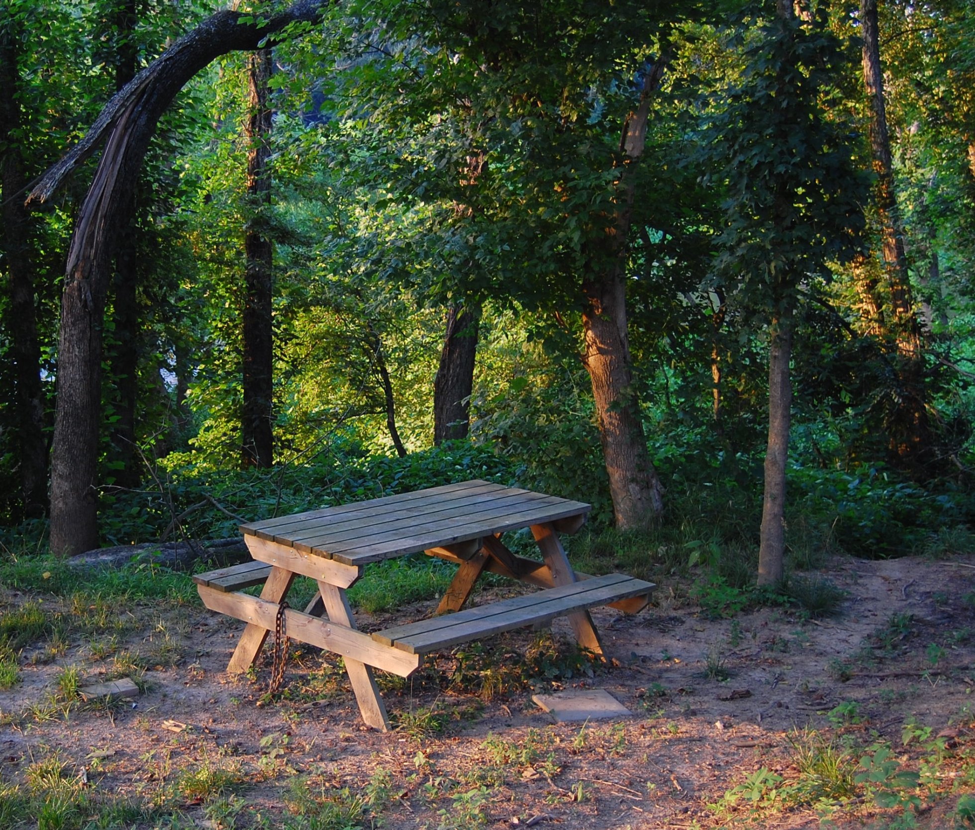
Picnic and path
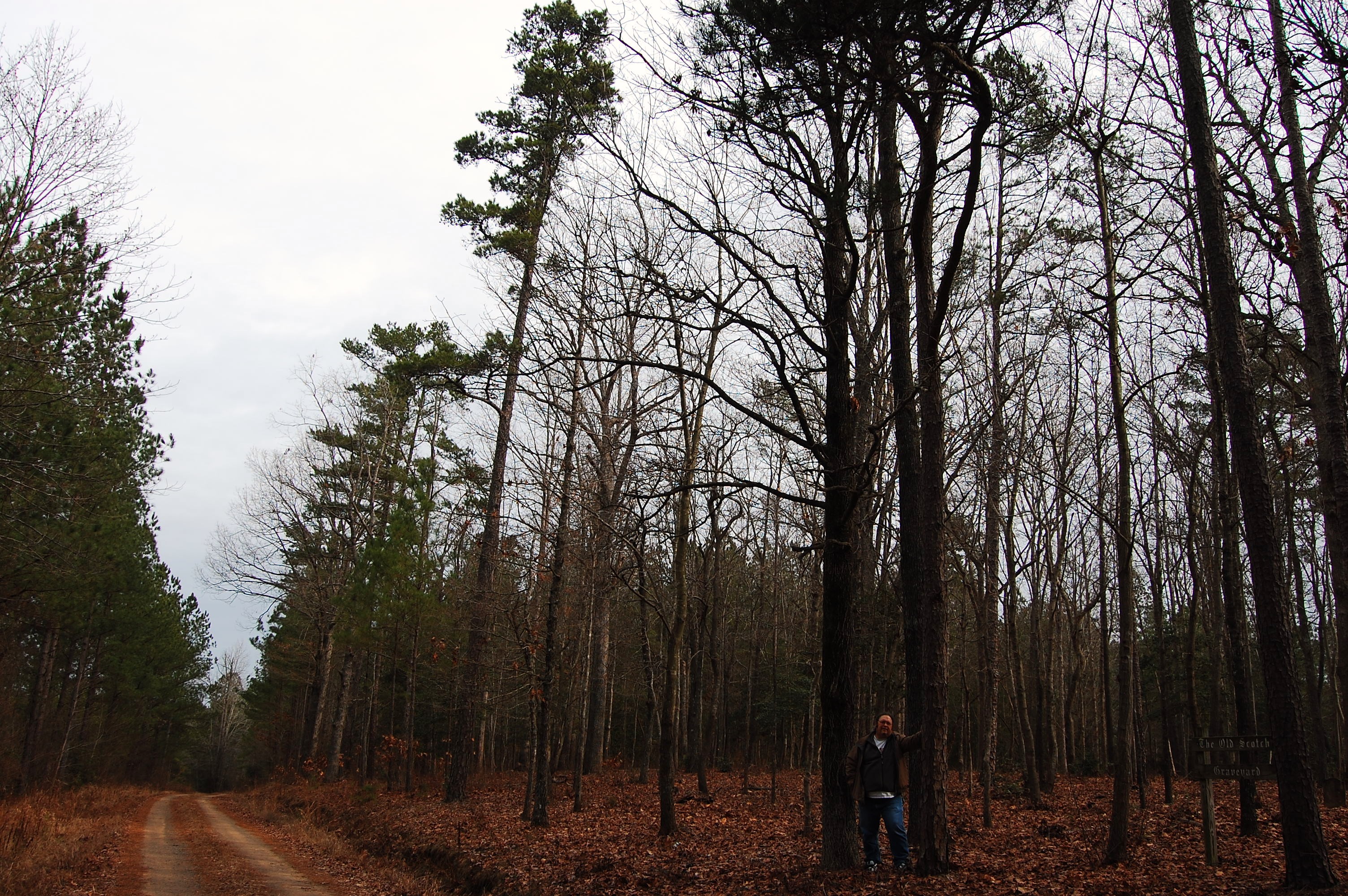
Old Scotch Burial Ground
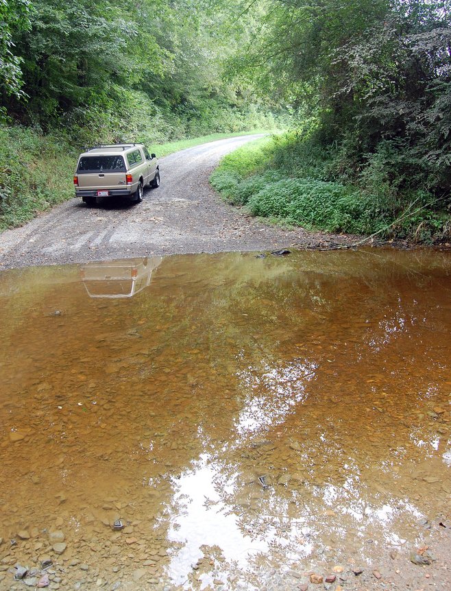
Flat Creek ford
Topographic Map of 4, Ritter, NC, USA
Find elevation by address:

Places in 4, Ritter, NC, USA:
Places near 4, Ritter, NC, USA:
NC-22, Robbins, NC, USA
High Falls
772 Wilson Rd
185 Charlie Garner Rd
Herring Path
Bear Creek
137 Clifftop Dr
411 Emma Ln
Bennett
Robbins
203 S Middleton St
Moore County
203 Smyrna Church Rd
1347 Vander Oldham Rd
129 Elcanie Rd
925 Lakewood Falls Rd
6790 Bennett Rd
1, Carthage
Brush Creek Rd, Bennett, NC, USA
Carthage
Recent Searches:
- Elevation of Corso Fratelli Cairoli, 35, Macerata MC, Italy
- Elevation of Tallevast Rd, Sarasota, FL, USA
- Elevation of 4th St E, Sonoma, CA, USA
- Elevation of Black Hollow Rd, Pennsdale, PA, USA
- Elevation of Oakland Ave, Williamsport, PA, USA
- Elevation of Pedrógão Grande, Portugal
- Elevation of Klee Dr, Martinsburg, WV, USA
- Elevation of Via Roma, Pieranica CR, Italy
- Elevation of Tavkvetili Mountain, Georgia
- Elevation of Hartfords Bluff Cir, Mt Pleasant, SC, USA