Elevation of S Middleton St, Robbins, NC, USA
Location: United States > North Carolina > Moore County > 3, Sheffield > Robbins >
Longitude: -79.587565
Latitude: 35.4330554
Elevation: 131m / 430feet
Barometric Pressure: 100KPa
Elevation Map:
Satellite Map:
Related Photos:
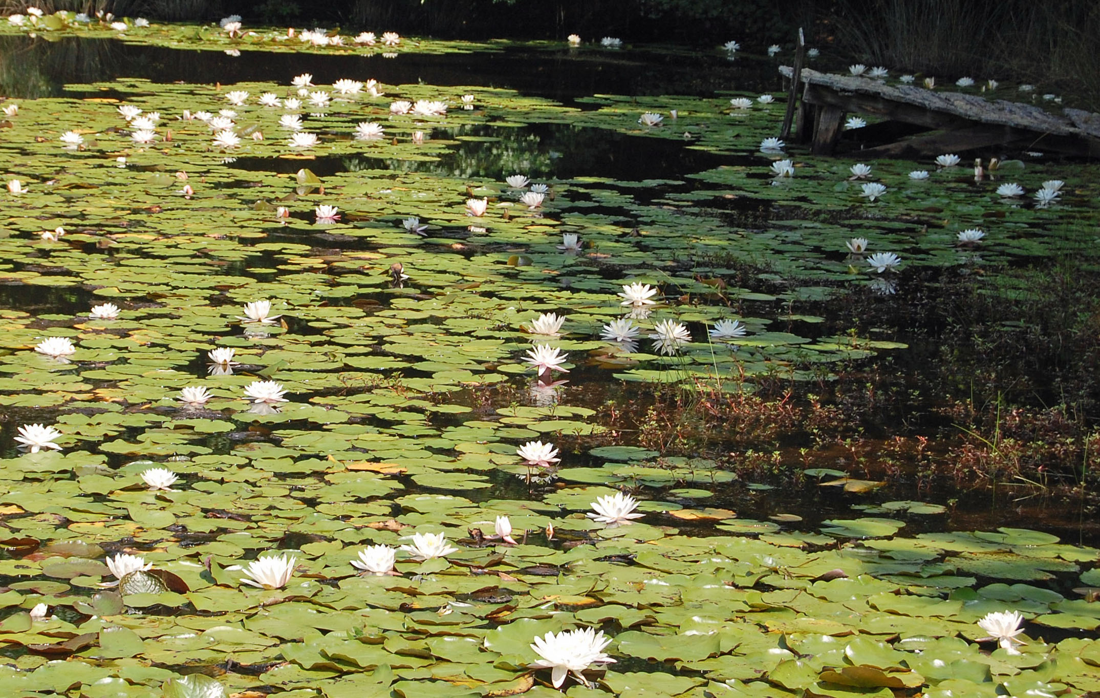
Not a Monet
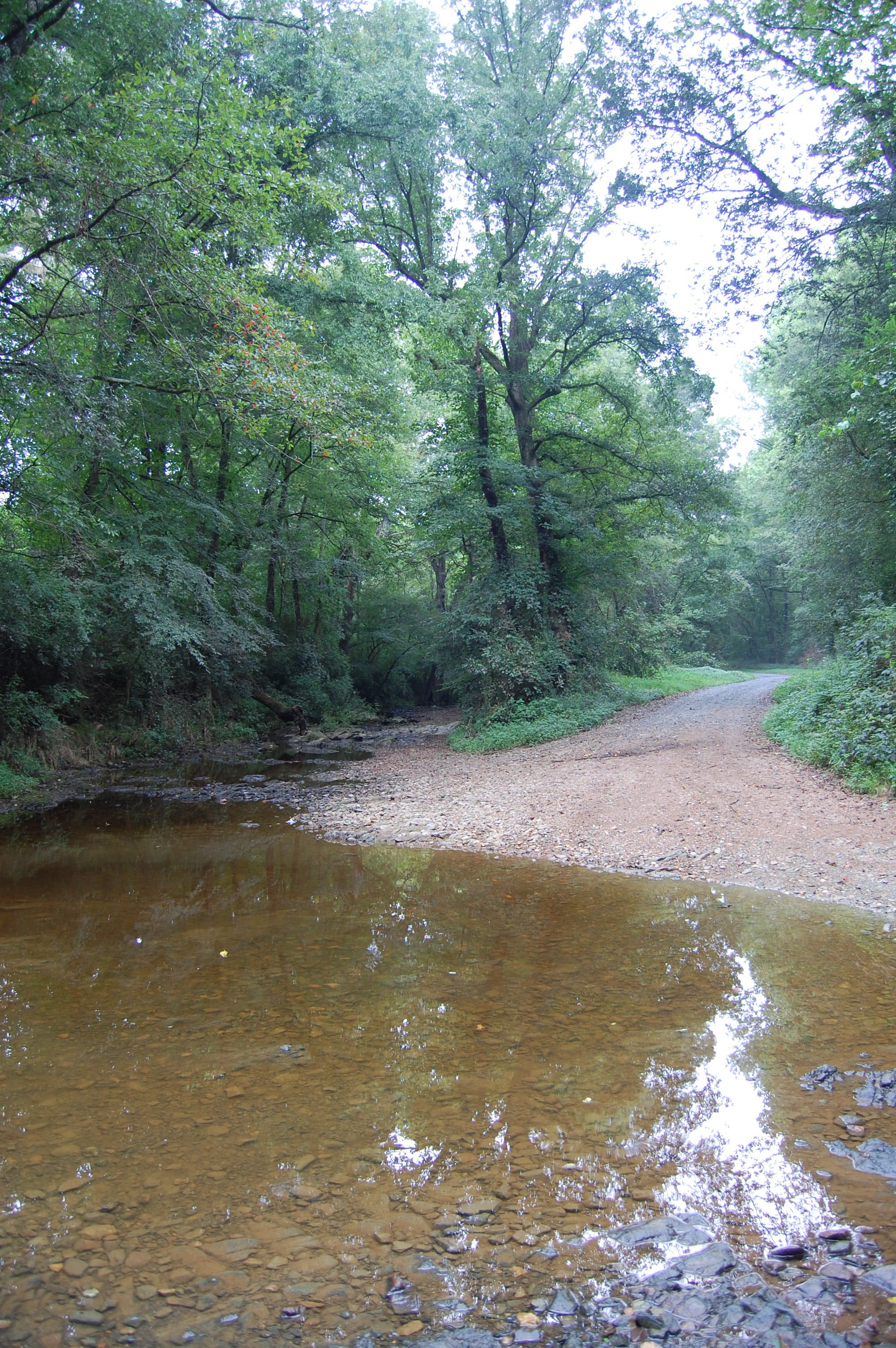
Flat Creek ford
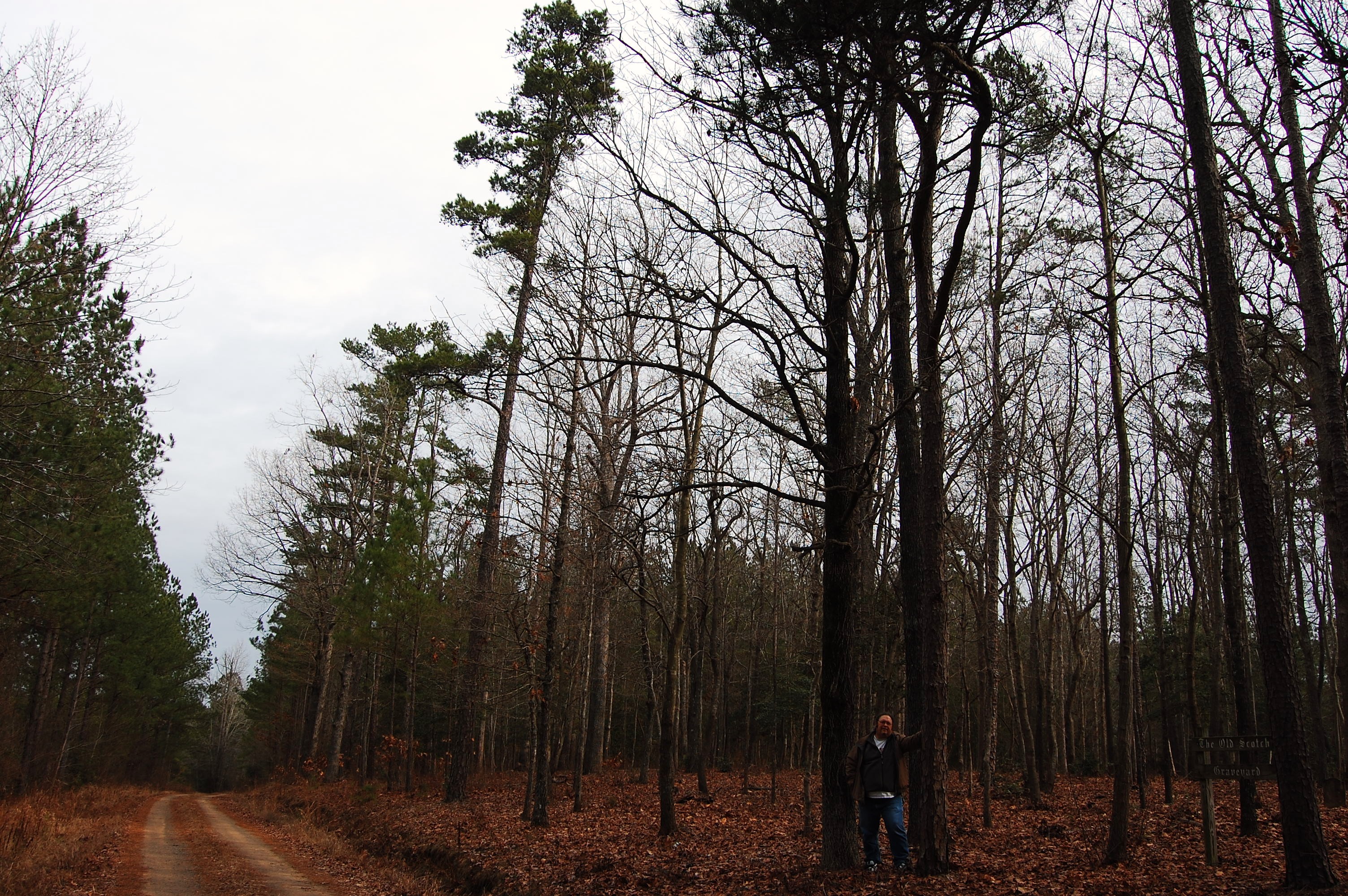
Old Scotch Burial Ground

Old Scotch Burial Ground
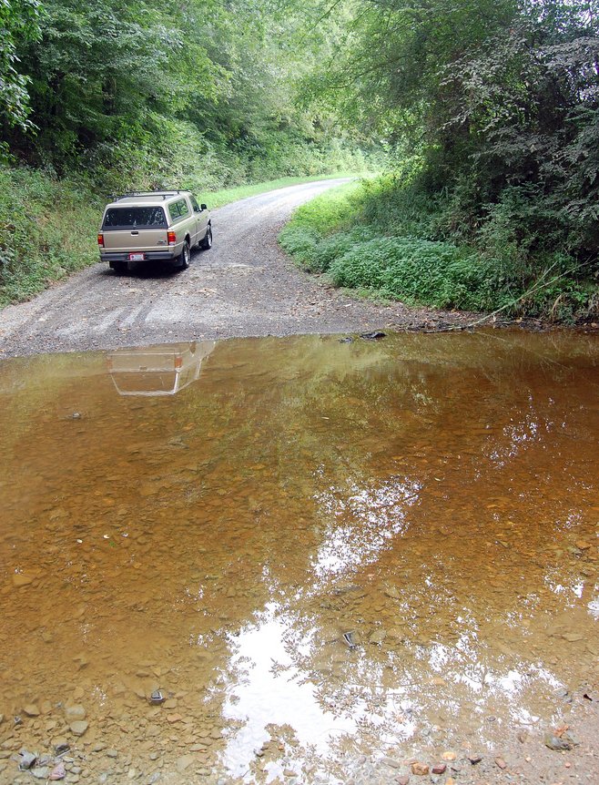
Flat Creek ford
20150725-DSC_8200
20150725-DSC_8202
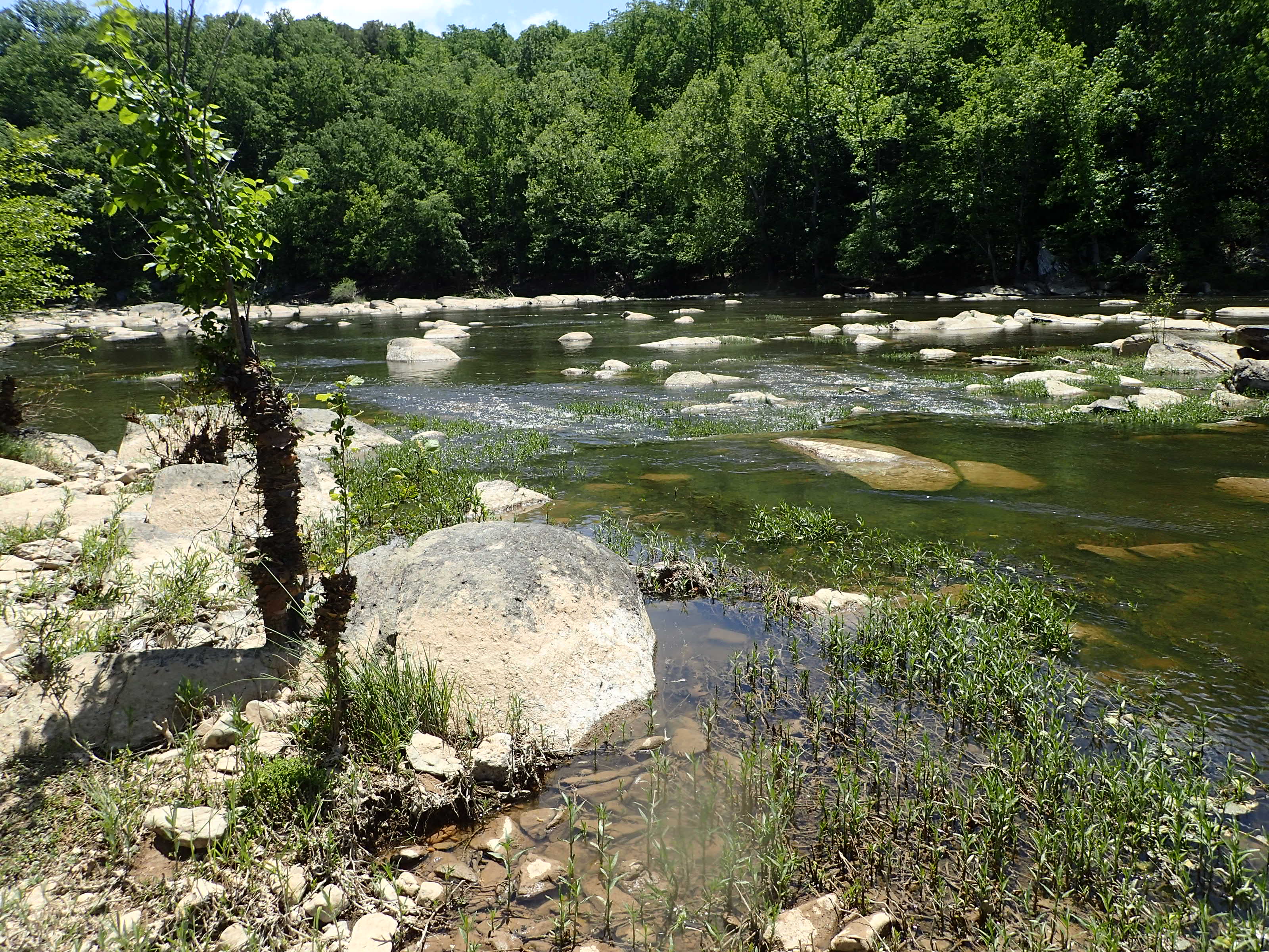
Cape Fear shiner habitat
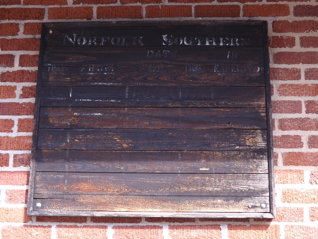
Train Schedule Board

DON'T LIKE FRUITCAKE?
The results of the washout
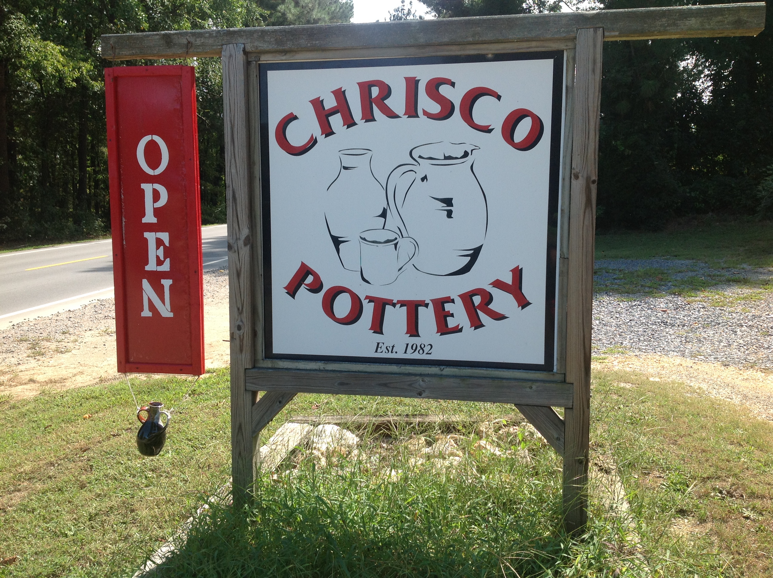
Seagrove, Potter's Villiage
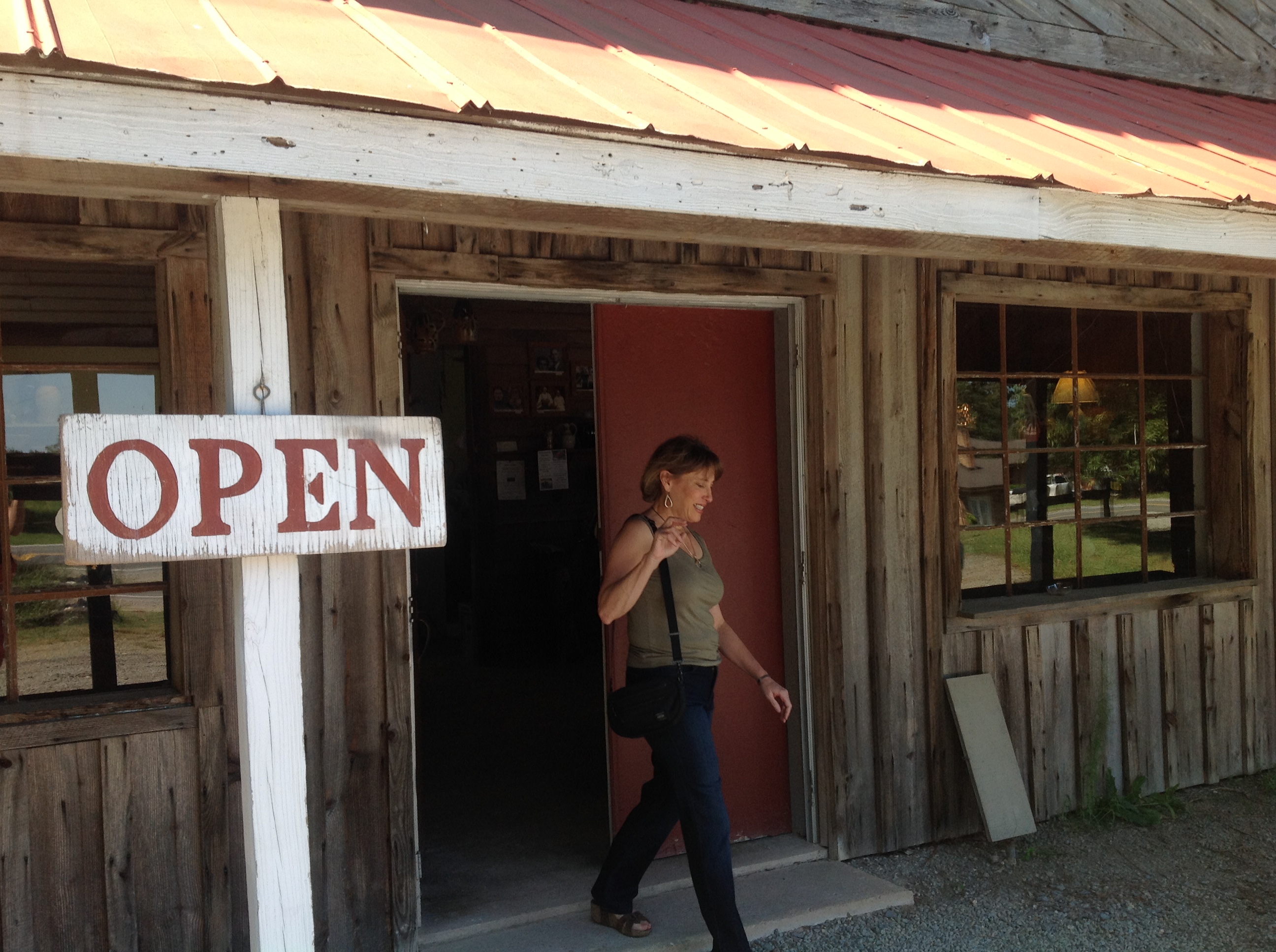
Seagrove, Potter's Villiage

Seagrove, Potter's Villiage
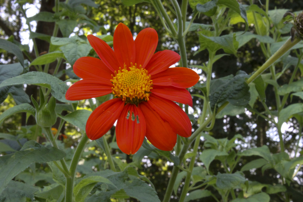
Garden delight #1
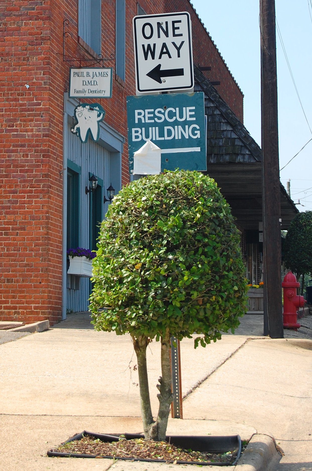
Sign for a better smile
_DSC5219.jpg
2784 Bryant House Img_20942
2785 Bryant House Img_20941
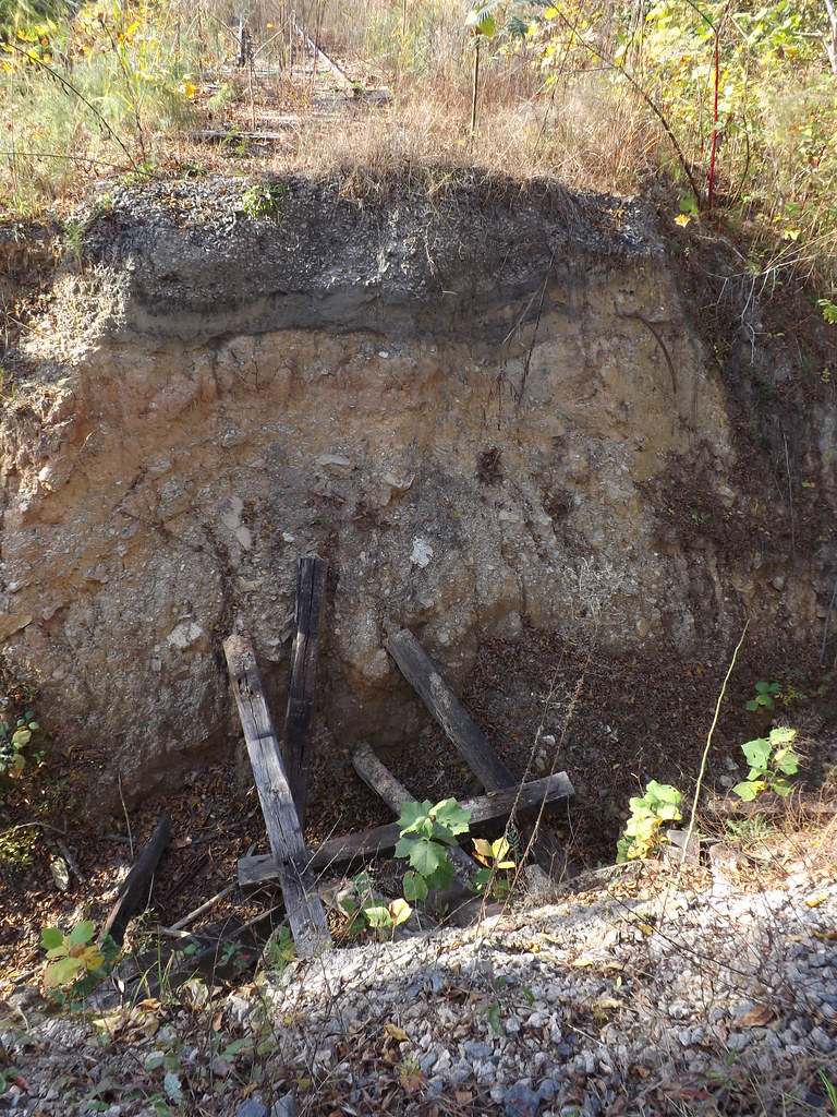
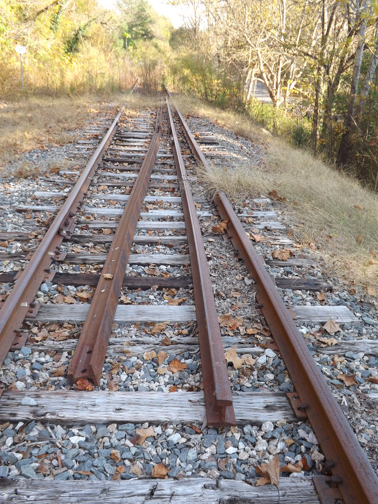
A washout severs the line
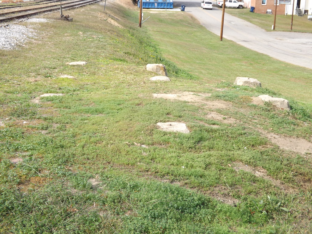
Water tower base
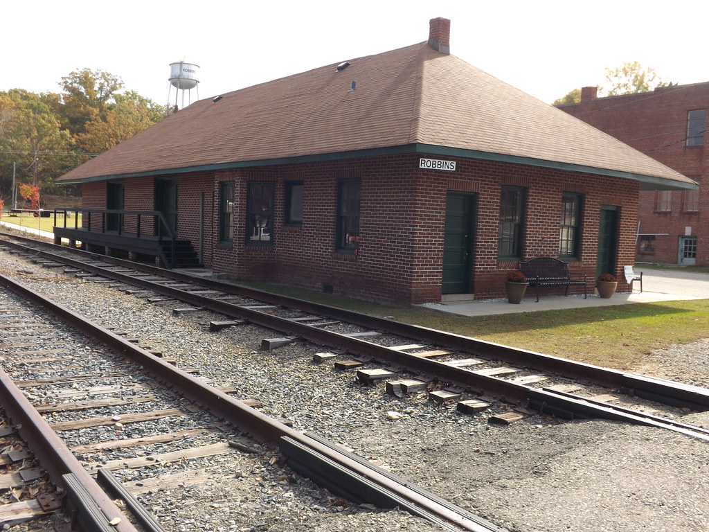
Norfolk and Southern Station Robbin, NC
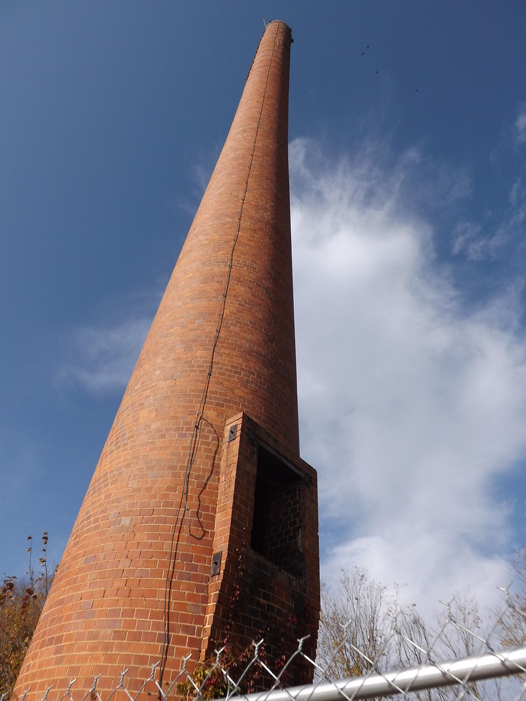
Tall and Abandoned
ACWR at Spies
Images of a place called #Jugtown. #northcarolina #roadtrip #Robcasting
Seagrove, Potter's Villiage
Seagrove, Potter's Villiage
Topographic Map of S Middleton St, Robbins, NC, USA
Find elevation by address:

Places near S Middleton St, Robbins, NC, USA:
Robbins
411 Emma Ln
129 Elcanie Rd
203 Smyrna Church Rd
High Falls
2, Bensalem
NC-22, Robbins, NC, USA
3, Sheffield
337 Boone Dr
4, Ritter
185 Charlie Garner Rd
6790 Bennett Rd
772 Wilson Rd
Moore County
Bennett
2819 Brower Mill Rd
178 Lost Trail Dr
111 Pleasant View Ln
113 Pleasant View Ln
115 Pleasant View Ln
Recent Searches:
- Elevation of Corso Fratelli Cairoli, 35, Macerata MC, Italy
- Elevation of Tallevast Rd, Sarasota, FL, USA
- Elevation of 4th St E, Sonoma, CA, USA
- Elevation of Black Hollow Rd, Pennsdale, PA, USA
- Elevation of Oakland Ave, Williamsport, PA, USA
- Elevation of Pedrógão Grande, Portugal
- Elevation of Klee Dr, Martinsburg, WV, USA
- Elevation of Via Roma, Pieranica CR, Italy
- Elevation of Tavkvetili Mountain, Georgia
- Elevation of Hartfords Bluff Cir, Mt Pleasant, SC, USA