Elevation of Smyrna Church Rd, Robbins, NC, USA
Location: United States > North Carolina > Moore County > 3, Sheffield > Robbins >
Longitude: -79.609105
Latitude: 35.495537
Elevation: 131m / 430feet
Barometric Pressure: 100KPa
Elevation Map:
Satellite Map:
Related Photos:
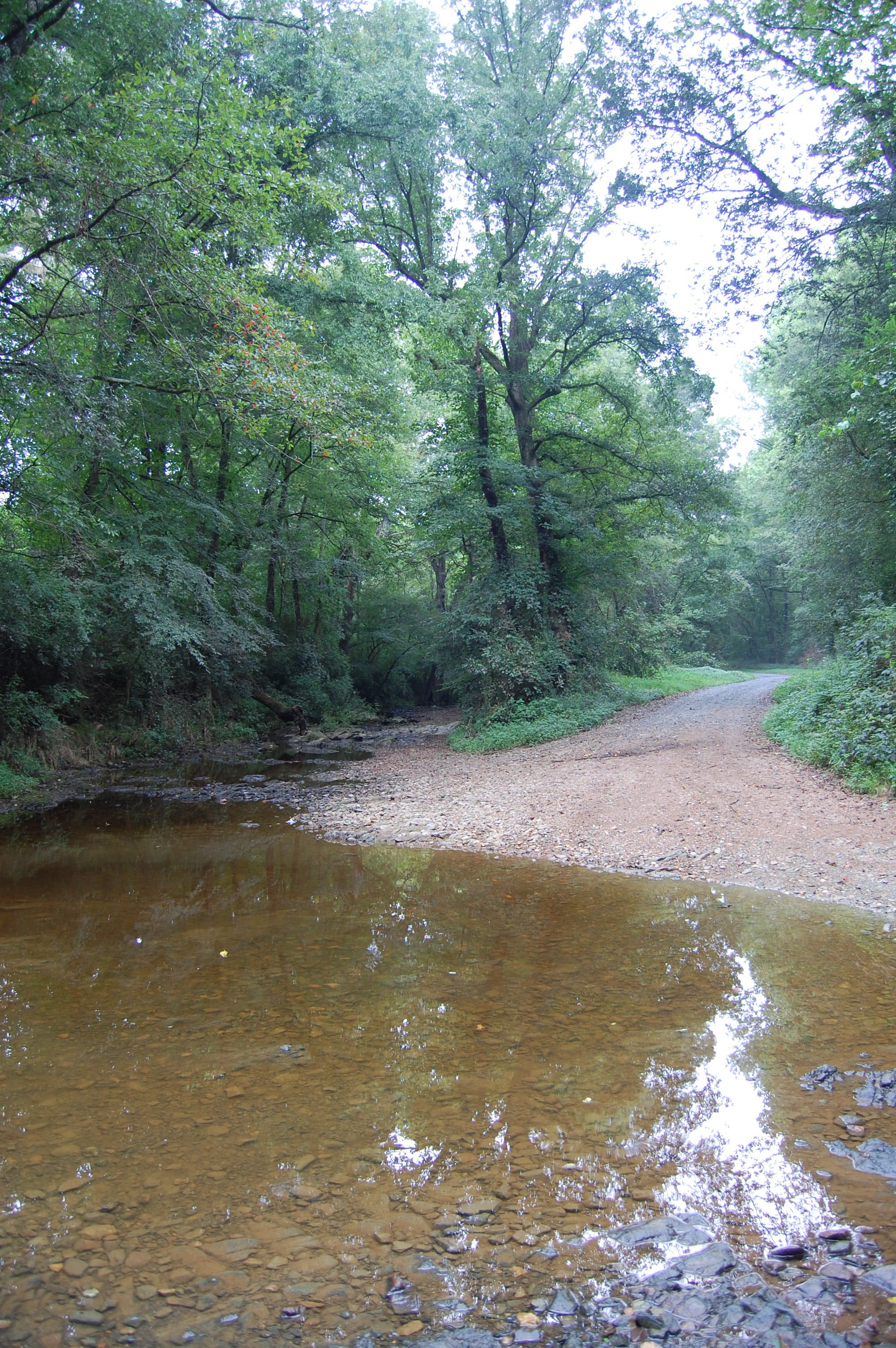
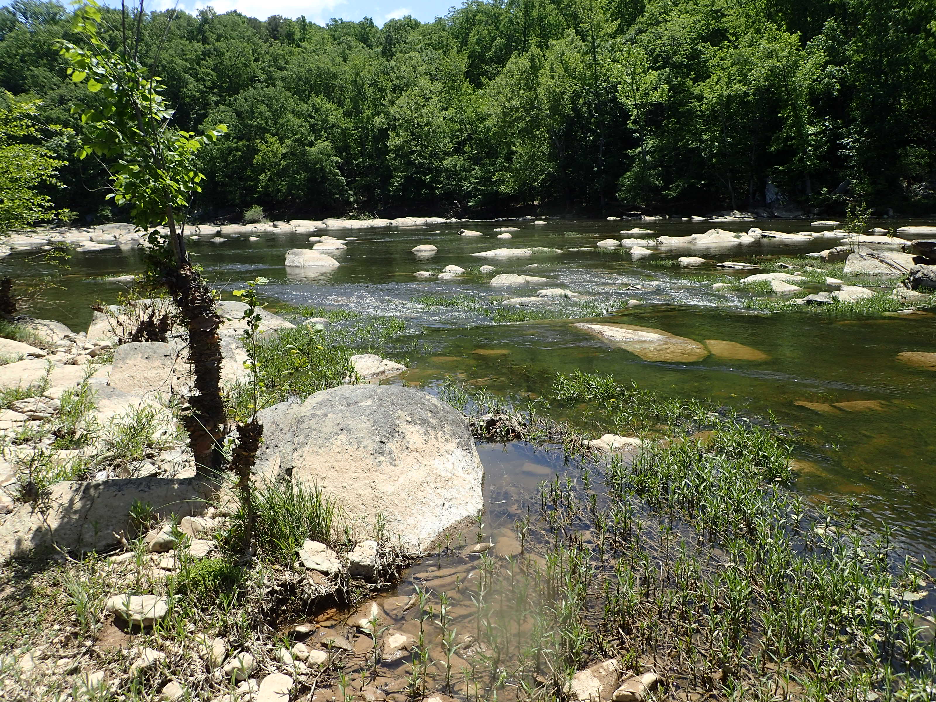
Flat Creek ford
Flat Creek ford
20150725-DSC_8200
20150725-DSC_8202
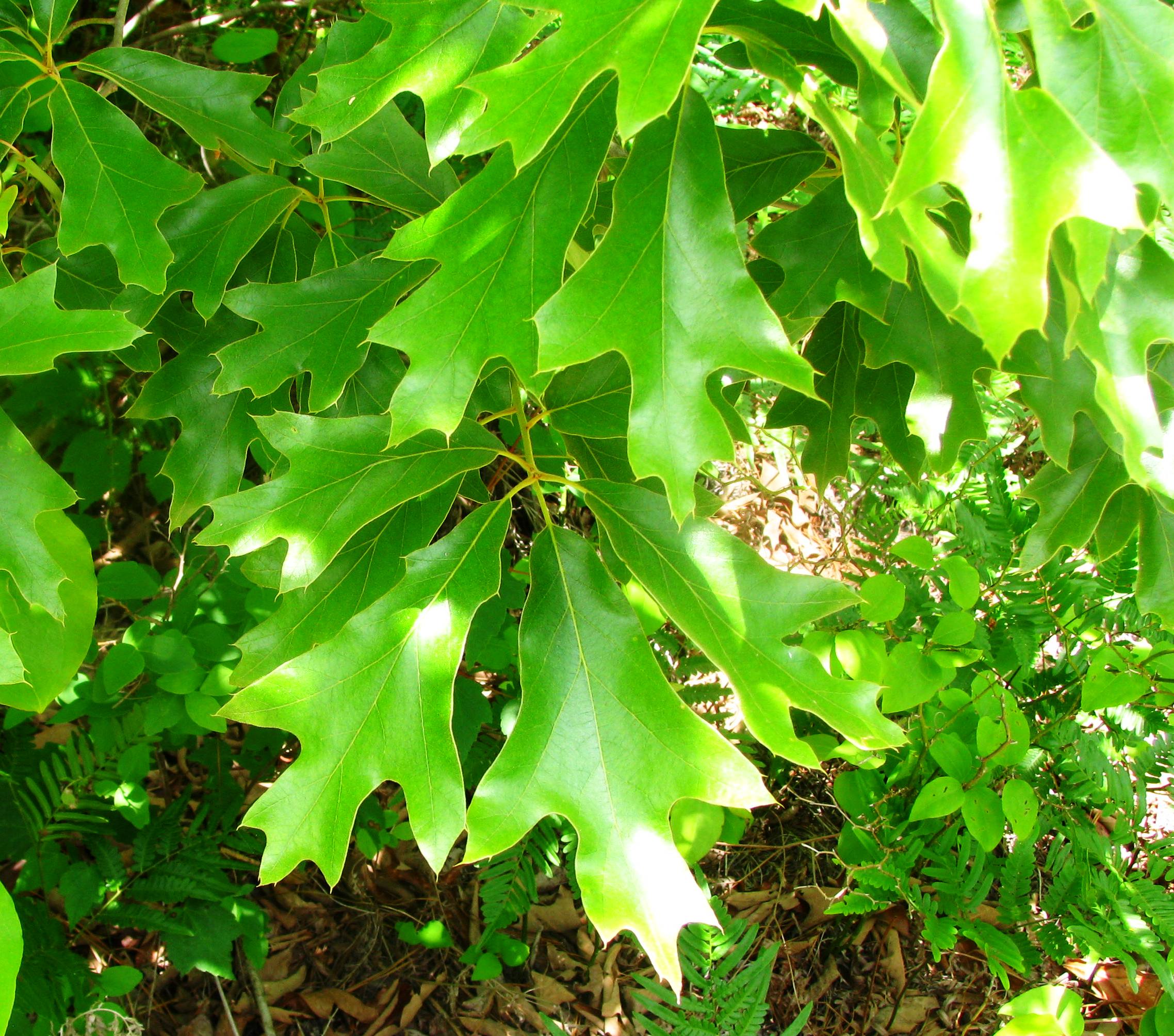
Quercus falcata
Good Question
Cape Fear shiner habitat
Train Schedule Board
The results of the washout
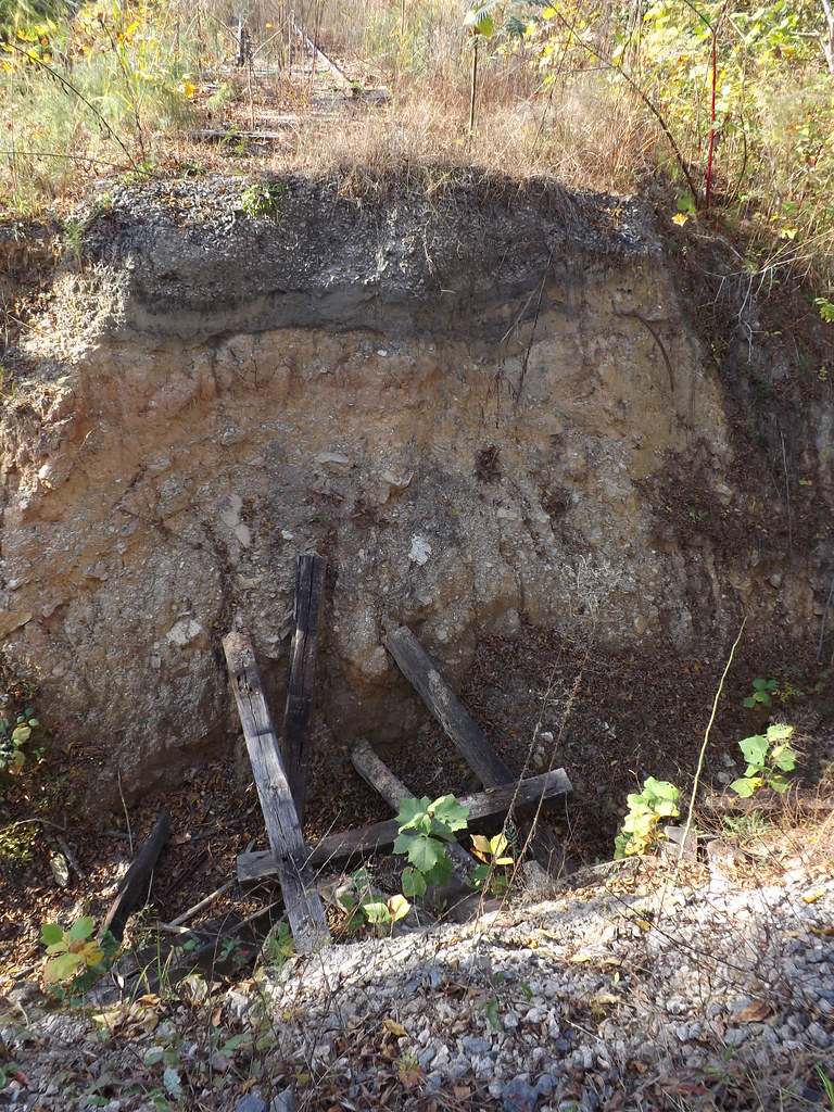
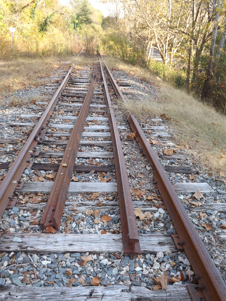
A washout severs the line
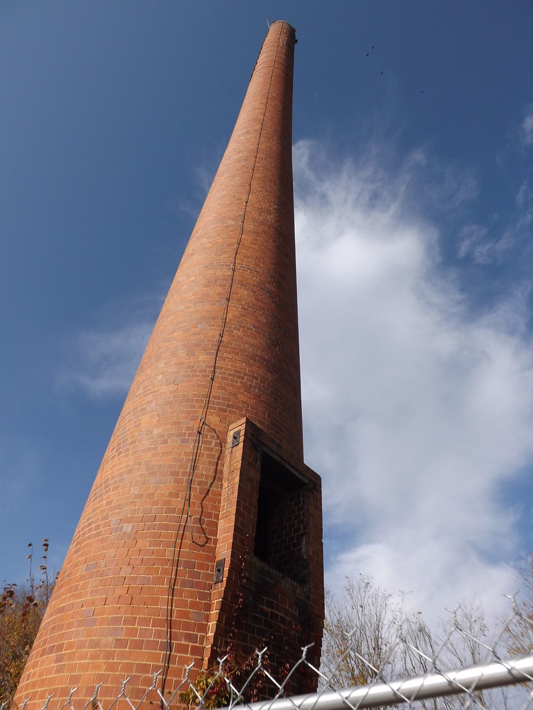
Water tower base
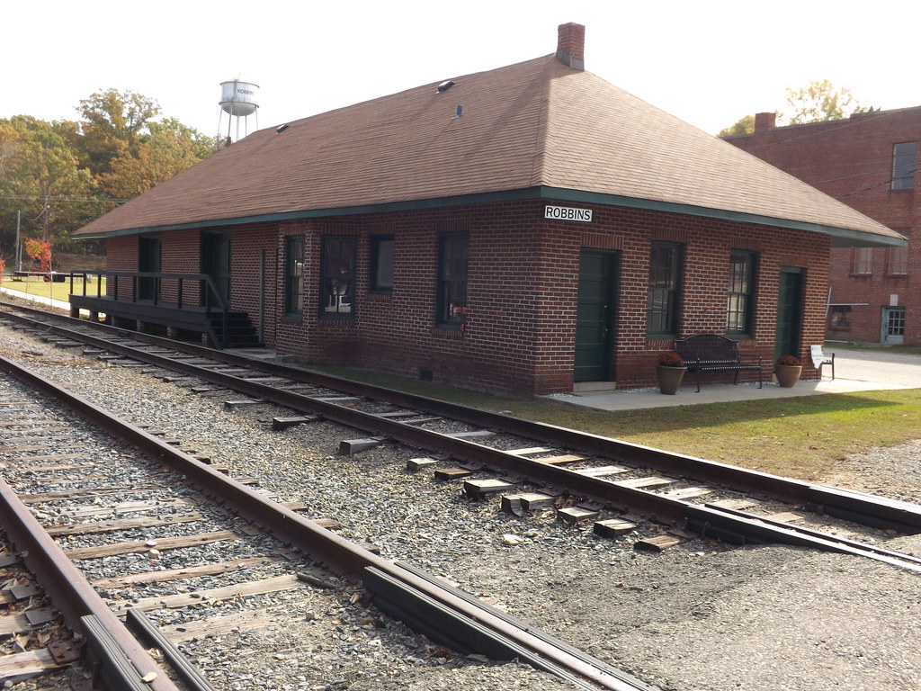
Norfolk and Southern Station Robbin, NC
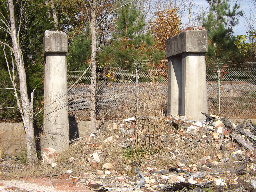
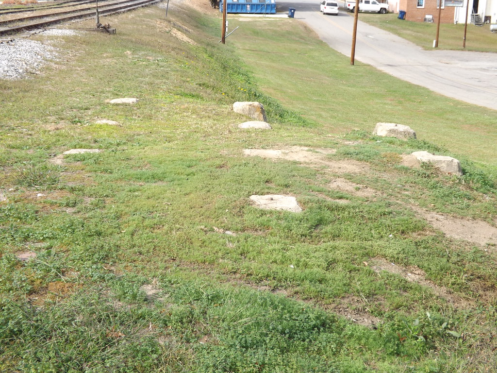
Abandoned coal platform supports
Tall and Abandoned
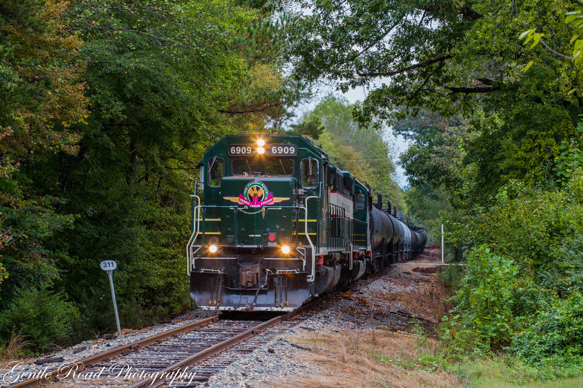
ACWR at Spies

Sunshine On A Black Eyed Susan.

"DADDY WENT DOWN TO THE OFFICE SUPPLY STORE FOR SOME PAPER AND CARTRIDGES."

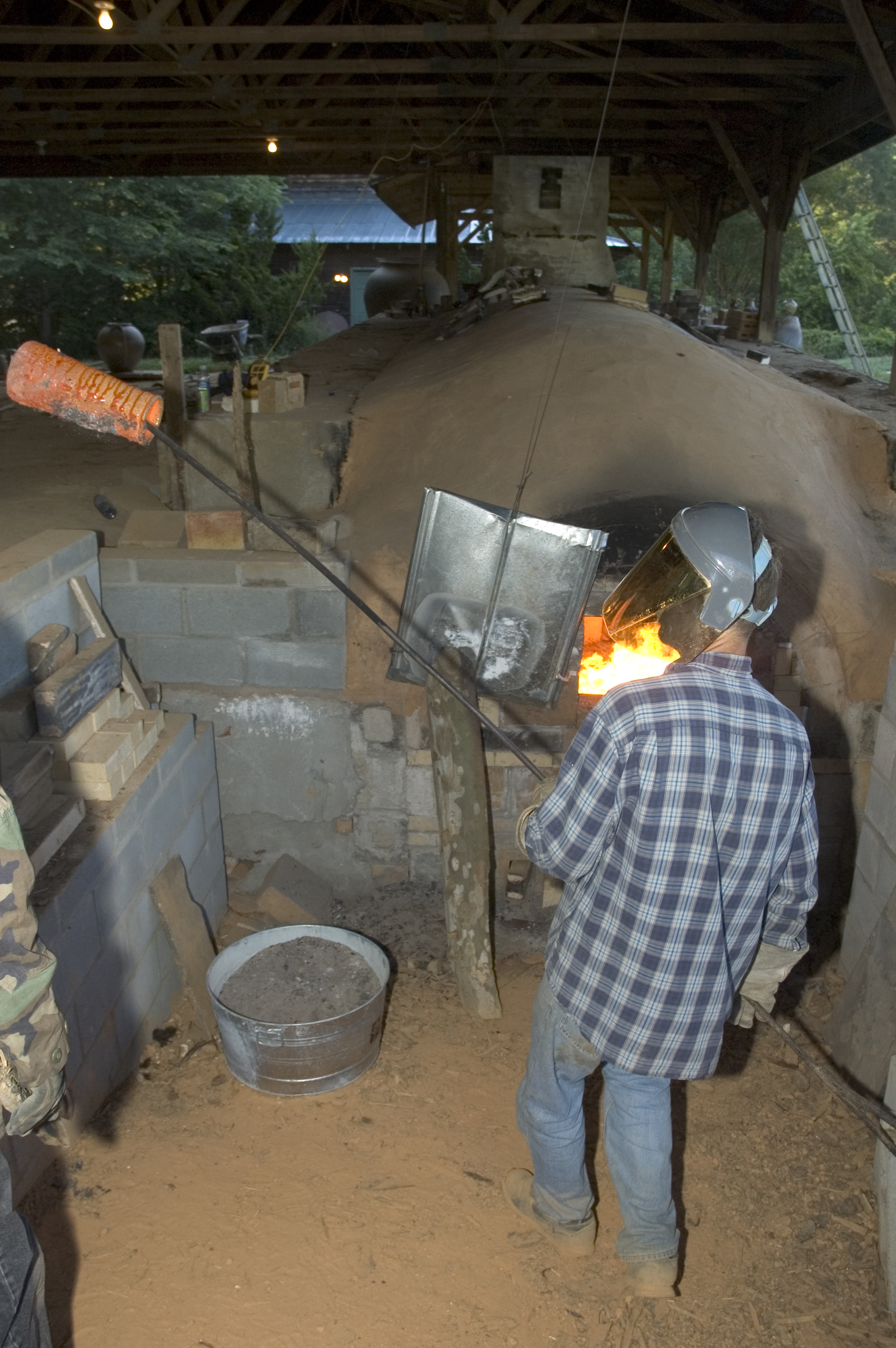
Seagrove, Potter's Villiage

The seventh grade
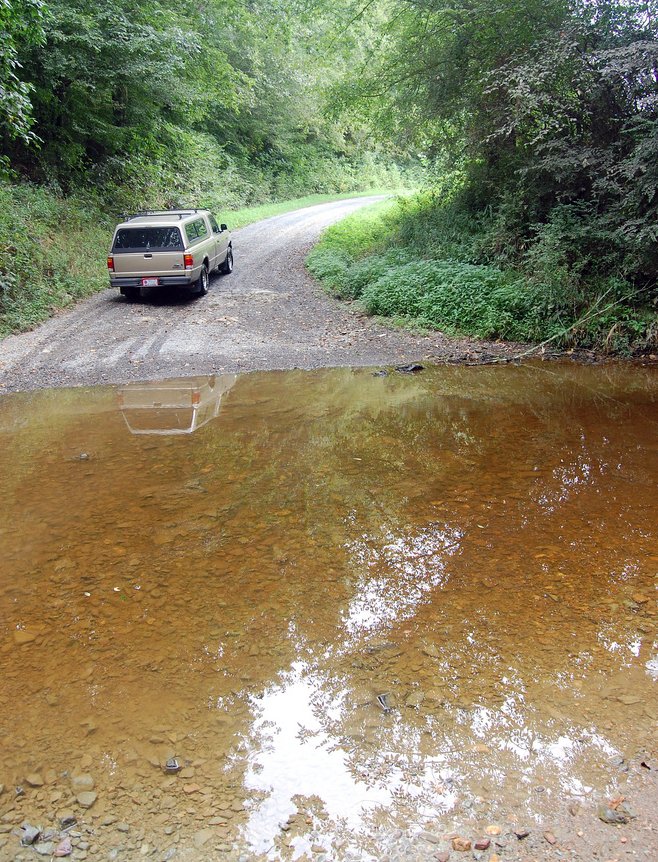
Flat Creek ford

_DSC7606.jpg
_DSC5238.jpg

Albino Deer at Check Station_Jessie Birckhead_Jessie Birckhead
Greenery At The Rest Area.
Topographic Map of Smyrna Church Rd, Robbins, NC, USA
Find elevation by address:

Places near Smyrna Church Rd, Robbins, NC, USA:
129 Elcanie Rd
6790 Bennett Rd
Robbins
203 S Middleton St
3, Sheffield
411 Emma Ln
185 Charlie Garner Rd
High Falls
2819 Brower Mill Rd
Bennett
NC-22, Robbins, NC, USA
Brush Creek Rd, Bennett, NC, USA
4, Ritter
772 Wilson Rd
Bear Creek
2, Bensalem
1510 Cagle Loop Rd
337 Boone Dr
Richland
5152 Ridge Rd
Recent Searches:
- Elevation of Corso Fratelli Cairoli, 35, Macerata MC, Italy
- Elevation of Tallevast Rd, Sarasota, FL, USA
- Elevation of 4th St E, Sonoma, CA, USA
- Elevation of Black Hollow Rd, Pennsdale, PA, USA
- Elevation of Oakland Ave, Williamsport, PA, USA
- Elevation of Pedrógão Grande, Portugal
- Elevation of Klee Dr, Martinsburg, WV, USA
- Elevation of Via Roma, Pieranica CR, Italy
- Elevation of Tavkvetili Mountain, Georgia
- Elevation of Hartfords Bluff Cir, Mt Pleasant, SC, USA