Elevation of Brush Creek Rd, Bennett, NC, USA
Location: United States > North Carolina > Randolph County >
Longitude: -79.576745
Latitude: 35.59944
Elevation: 128m / 420feet
Barometric Pressure: 100KPa
Elevation Map:
Satellite Map:
Related Photos:
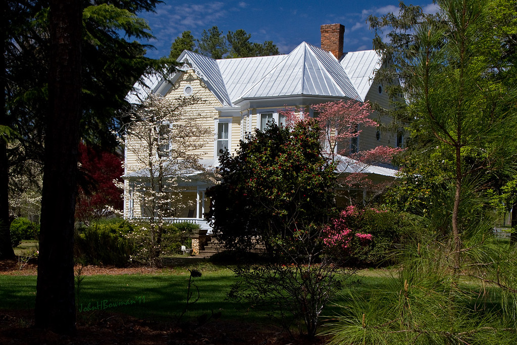
Beautiful Farmhouse
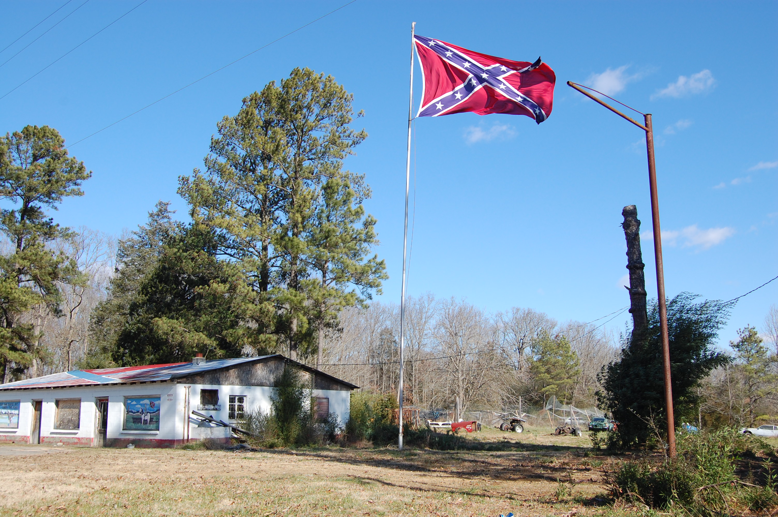
Still Waving
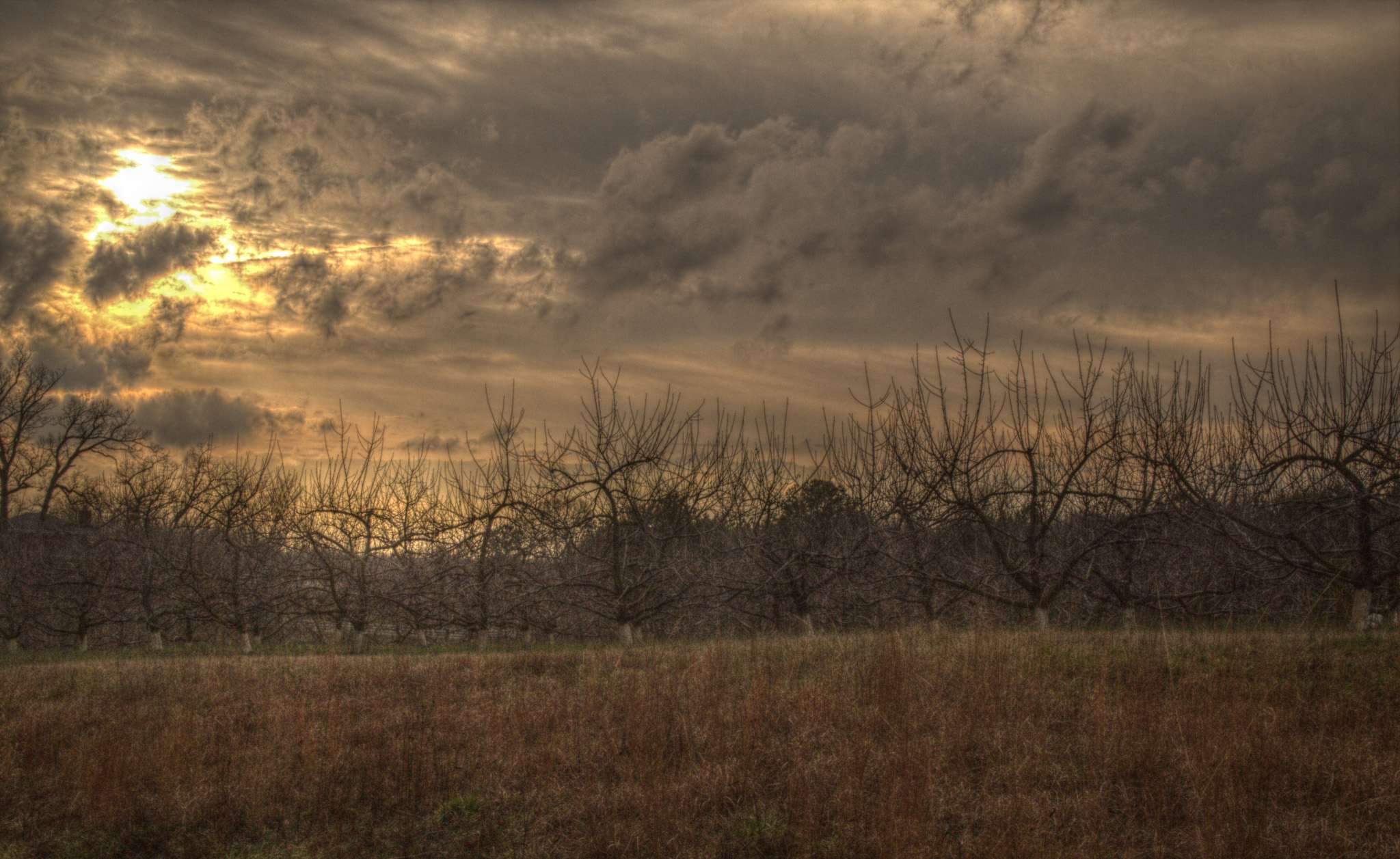
26. Orchard
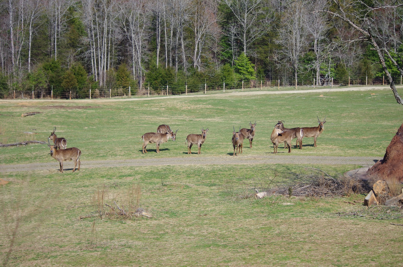
Waterbuck? Bongo?

Fine, I'll eat over here!
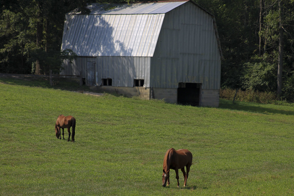
Grazing #1
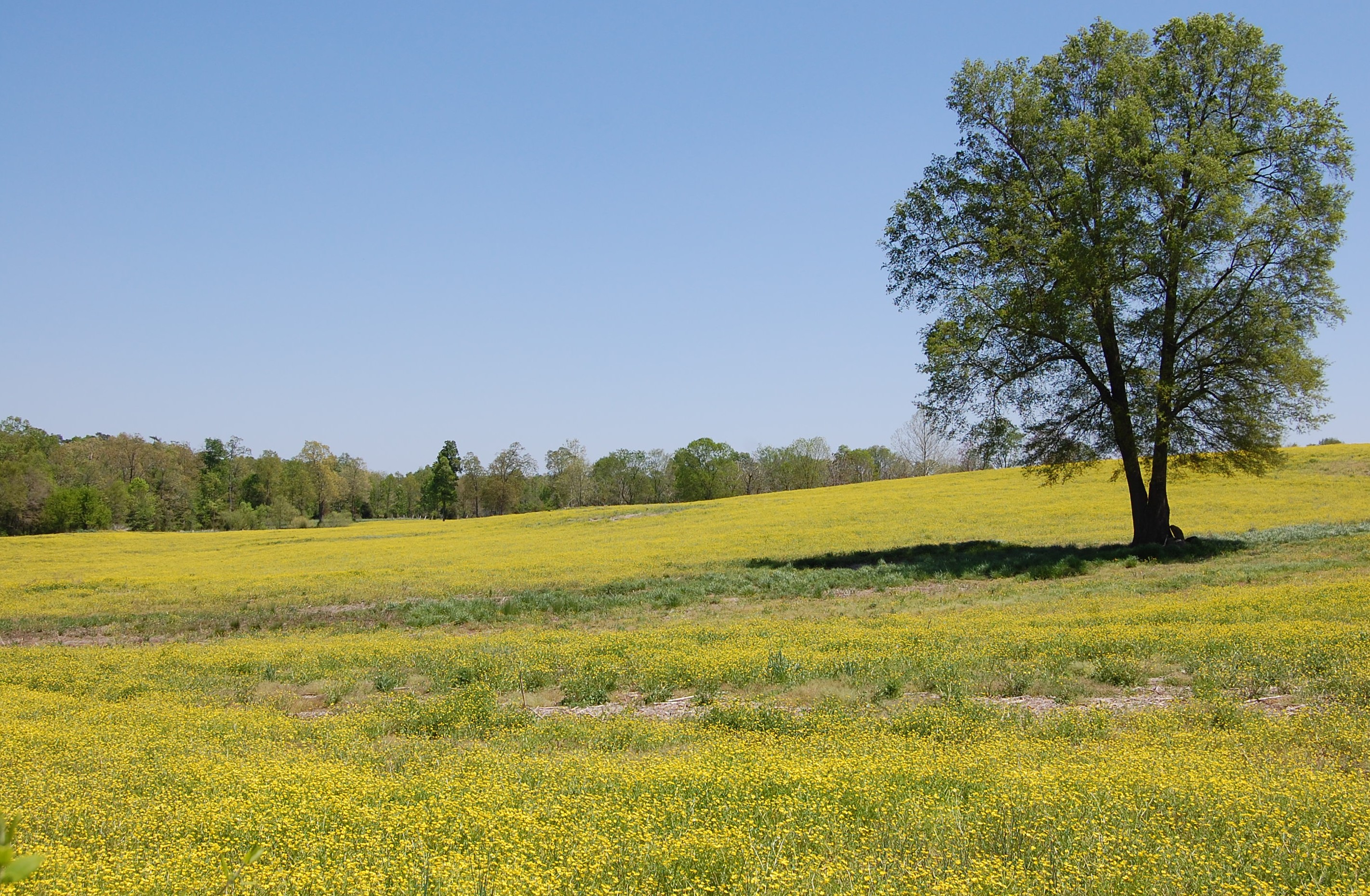
Fields of Gold
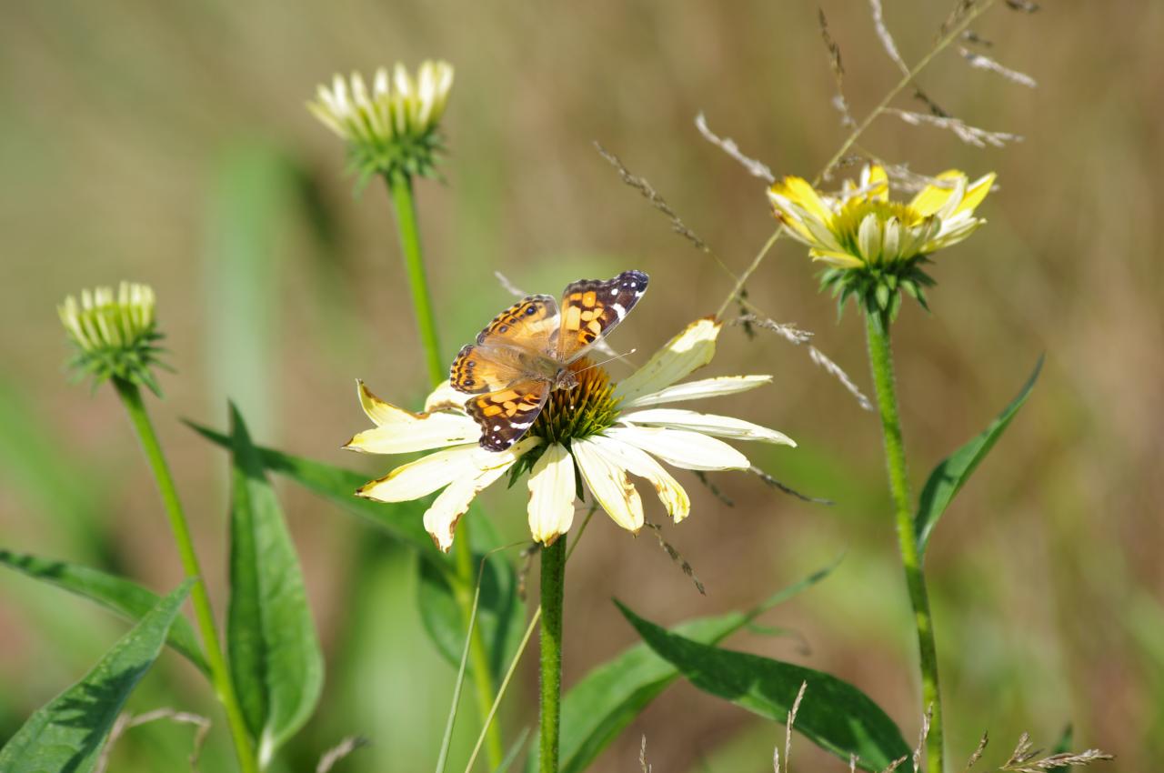
American Lady
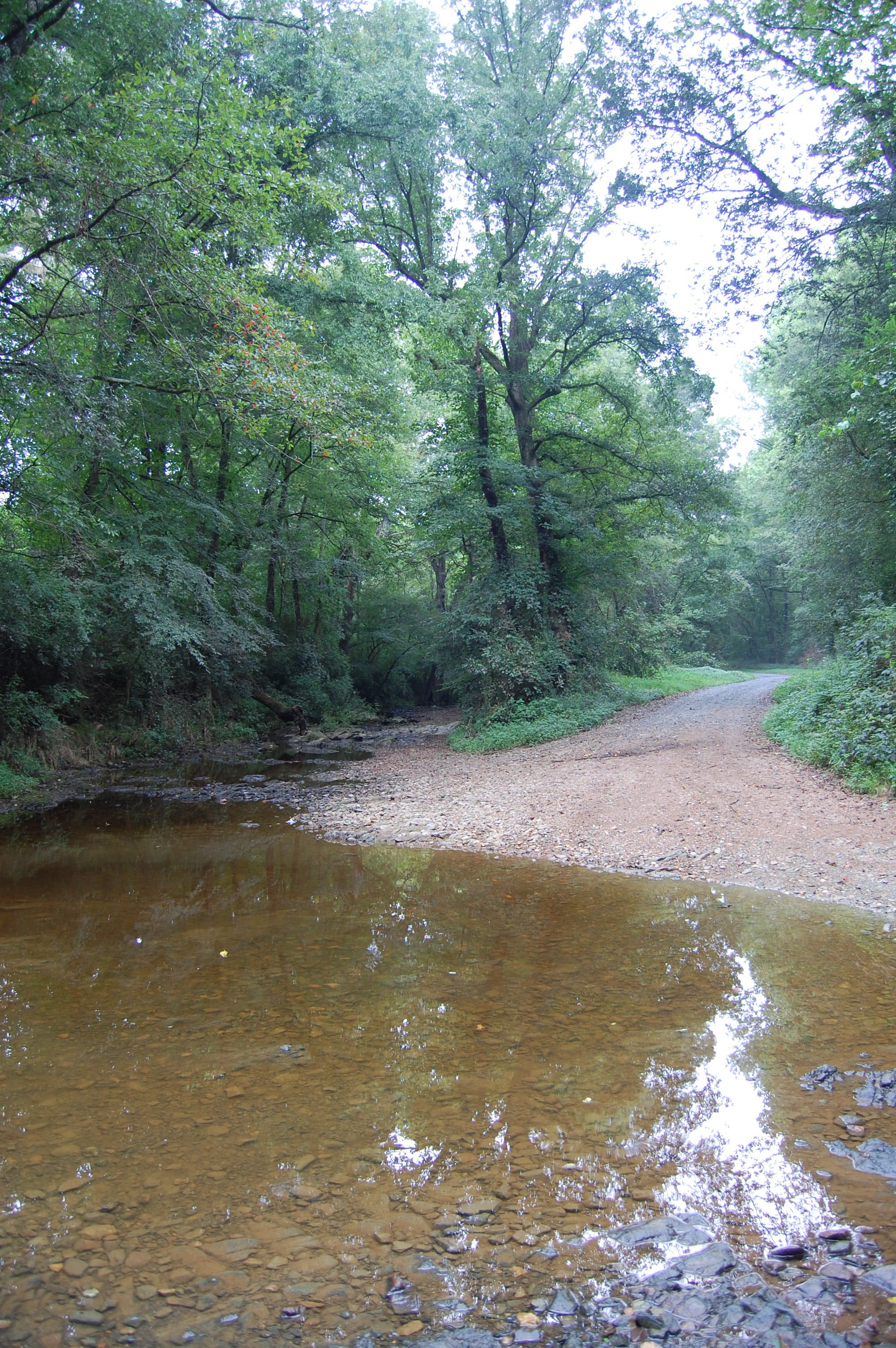
Flat Creek ford
2012-11-04_15-06-50_593
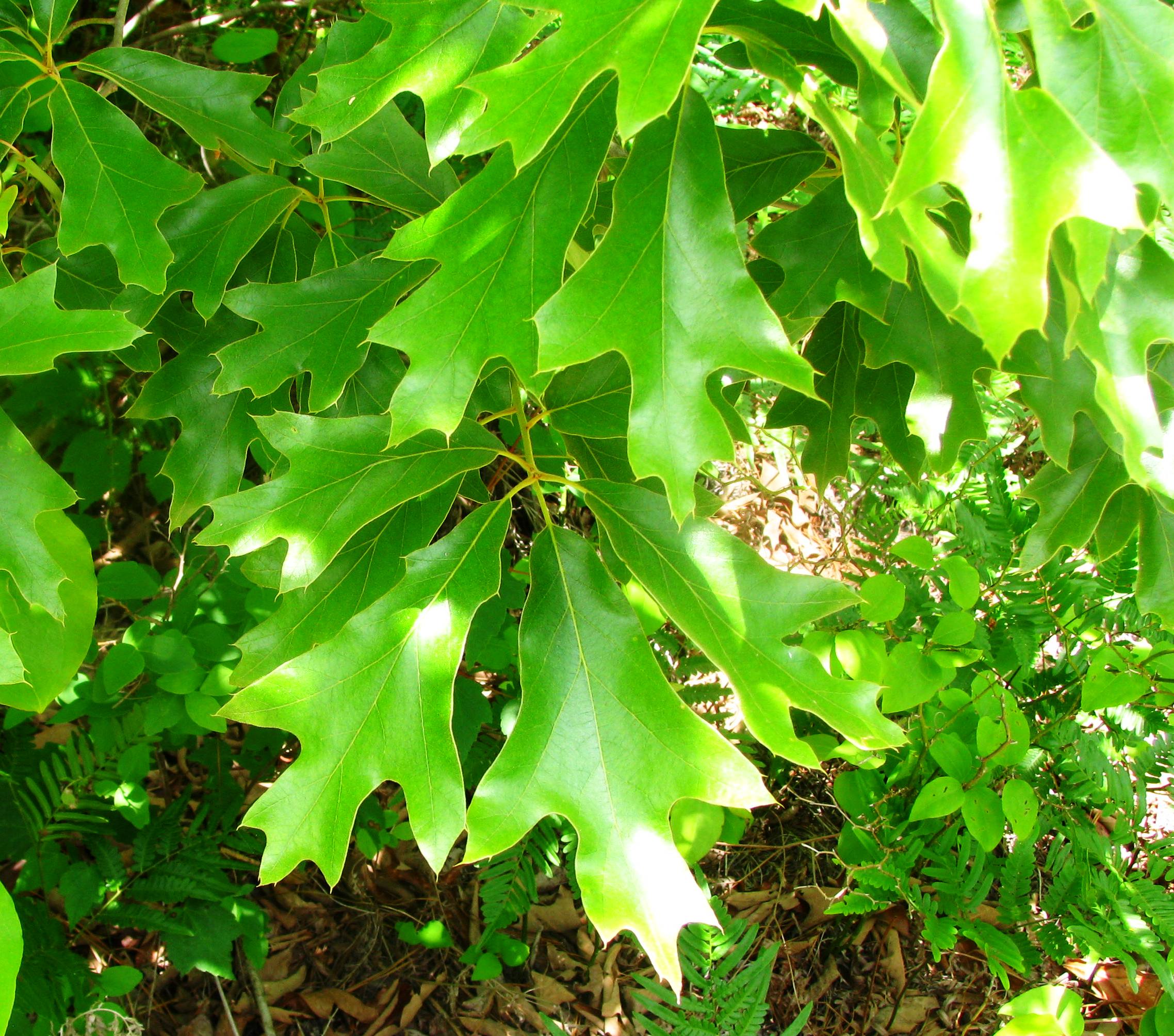
Quercus falcata
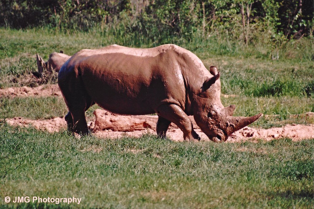
Bath Time for the White Rhino
20150725-DSC_8202
Hay, give me some of that, too...
20150725-DSC_8200

Running With The Devil
NC Elephamt

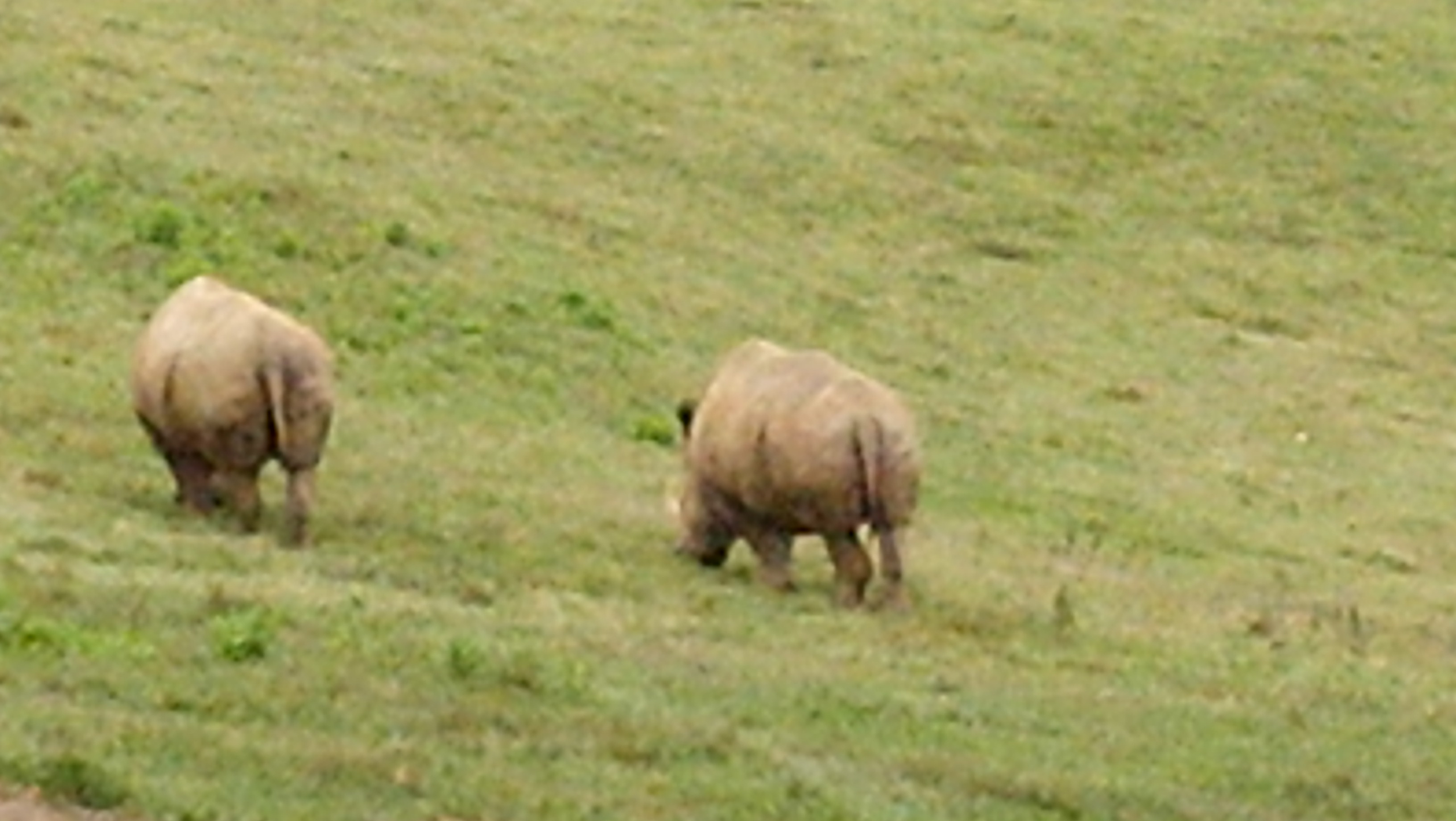
Tri-noceros
Full Moon over the Devil's Stompin' Ground

25. Sunrise
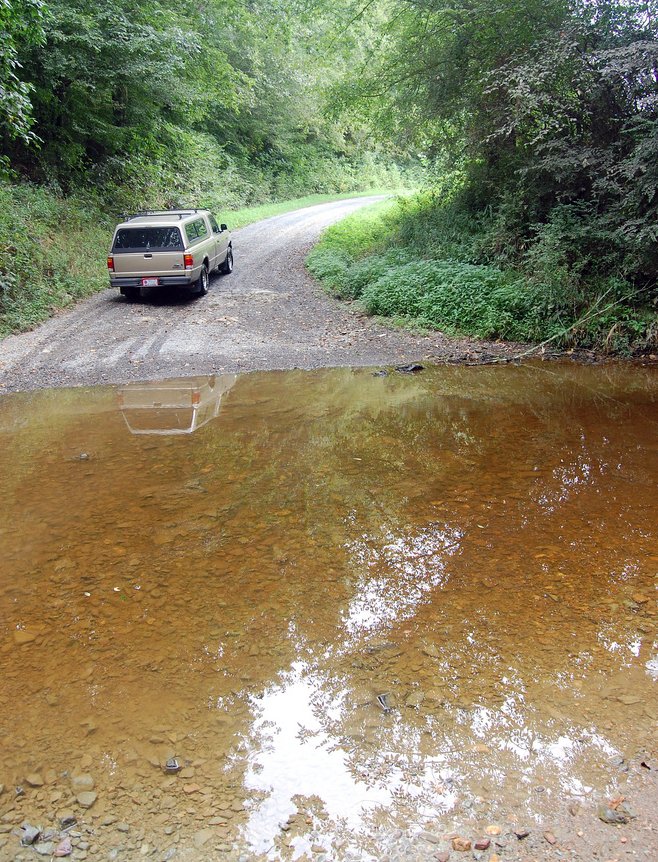
Flat Creek ford
Topographic Map of Brush Creek Rd, Bennett, NC, USA
Find elevation by address:

Places near Brush Creek Rd, Bennett, NC, USA:
Bennett
6790 Bennett Rd
Coleridge
185 Charlie Garner Rd
Bear Creek
203 Smyrna Church Rd
Stouts Chapel United Methodist Church
Matthews
772 Wilson Rd
High Falls
2819 Brower Mill Rd
129 Elcanie Rd
Browns Crossroads Rd, Staley, NC, USA
1002 Meadowood Dr
4, Ritter
NC-22, Robbins, NC, USA
Ramseur
Grant
1347 Vander Oldham Rd
Herring Path
Recent Searches:
- Elevation of Corso Fratelli Cairoli, 35, Macerata MC, Italy
- Elevation of Tallevast Rd, Sarasota, FL, USA
- Elevation of 4th St E, Sonoma, CA, USA
- Elevation of Black Hollow Rd, Pennsdale, PA, USA
- Elevation of Oakland Ave, Williamsport, PA, USA
- Elevation of Pedrógão Grande, Portugal
- Elevation of Klee Dr, Martinsburg, WV, USA
- Elevation of Via Roma, Pieranica CR, Italy
- Elevation of Tavkvetili Mountain, Georgia
- Elevation of Hartfords Bluff Cir, Mt Pleasant, SC, USA