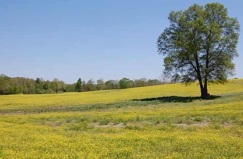
Elevation of Matthews, NC, USA
Location: United States > North Carolina > Chatham County >
Longitude: -79.492885
Latitude: 35.6942201
Elevation: 171m / 561feet
Barometric Pressure: 99KPa
Related Photos:
Topographic Map of Matthews, NC, USA
Find elevation by address:

Places in Matthews, NC, USA:
Places near Matthews, NC, USA:
Siler City
Browns Crossroads Rd, Staley, NC, USA
Staley
6131 Claybrook Rd
Columbia
1002 Meadowood Dr
2135 Soapstone Mountain Rd
Ramseur
Liberty
2391 Low Bridge Rd
1409 Academy Rd Ext
Franklinville
Cedar Falls
Wicker Lovell Rd, Randleman, NC, USA
Providence
Cedar Wood Pl, Asheboro, NC, USA
Stone Haven Dr, Asheboro, NC, USA
1347 Old Liberty Rd
1028 Snowdon Ct
Asheboro
Recent Searches:
- Elevation of Corso Fratelli Cairoli, 35, Macerata MC, Italy
- Elevation of Tallevast Rd, Sarasota, FL, USA
- Elevation of 4th St E, Sonoma, CA, USA
- Elevation of Black Hollow Rd, Pennsdale, PA, USA
- Elevation of Oakland Ave, Williamsport, PA, USA
- Elevation of Pedrógão Grande, Portugal
- Elevation of Klee Dr, Martinsburg, WV, USA
- Elevation of Via Roma, Pieranica CR, Italy
- Elevation of Tavkvetili Mountain, Georgia
- Elevation of Hartfords Bluff Cir, Mt Pleasant, SC, USA
