Elevation of Siler City, NC, USA
Location: United States > North Carolina > Chatham County > Matthews >
Longitude: -79.462243
Latitude: 35.7234734
Elevation: 185m / 607feet
Barometric Pressure: 99KPa
Elevation Map:
Satellite Map:
Related Photos:
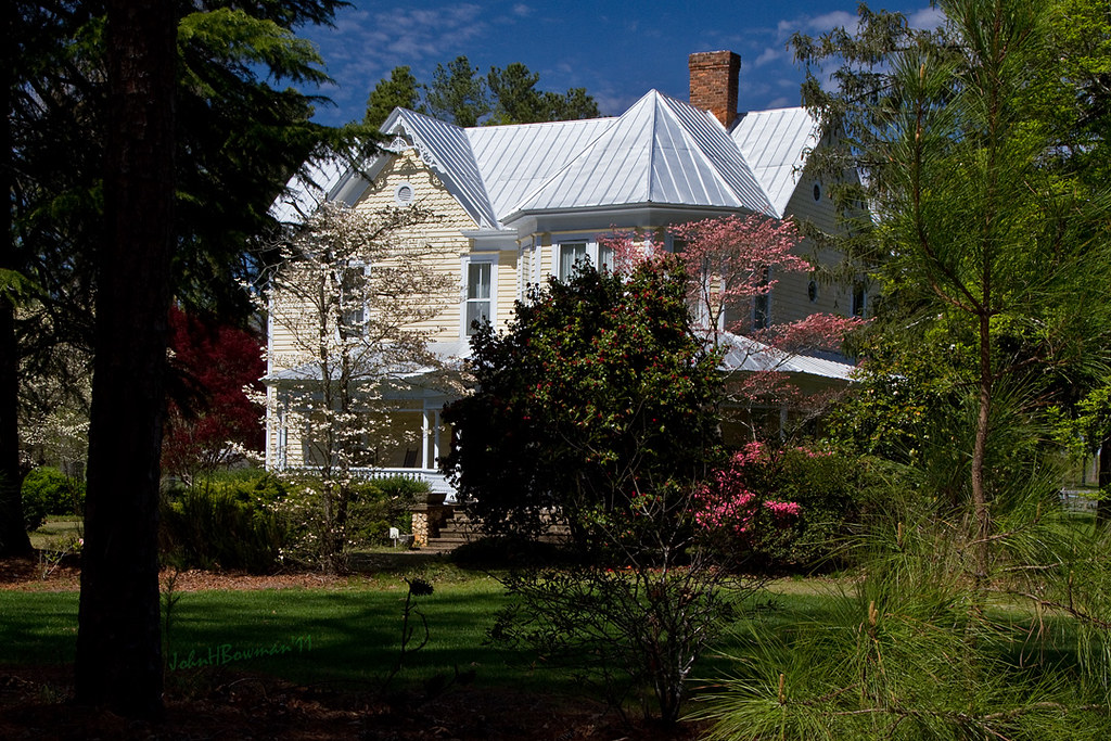
Beautiful Farmhouse
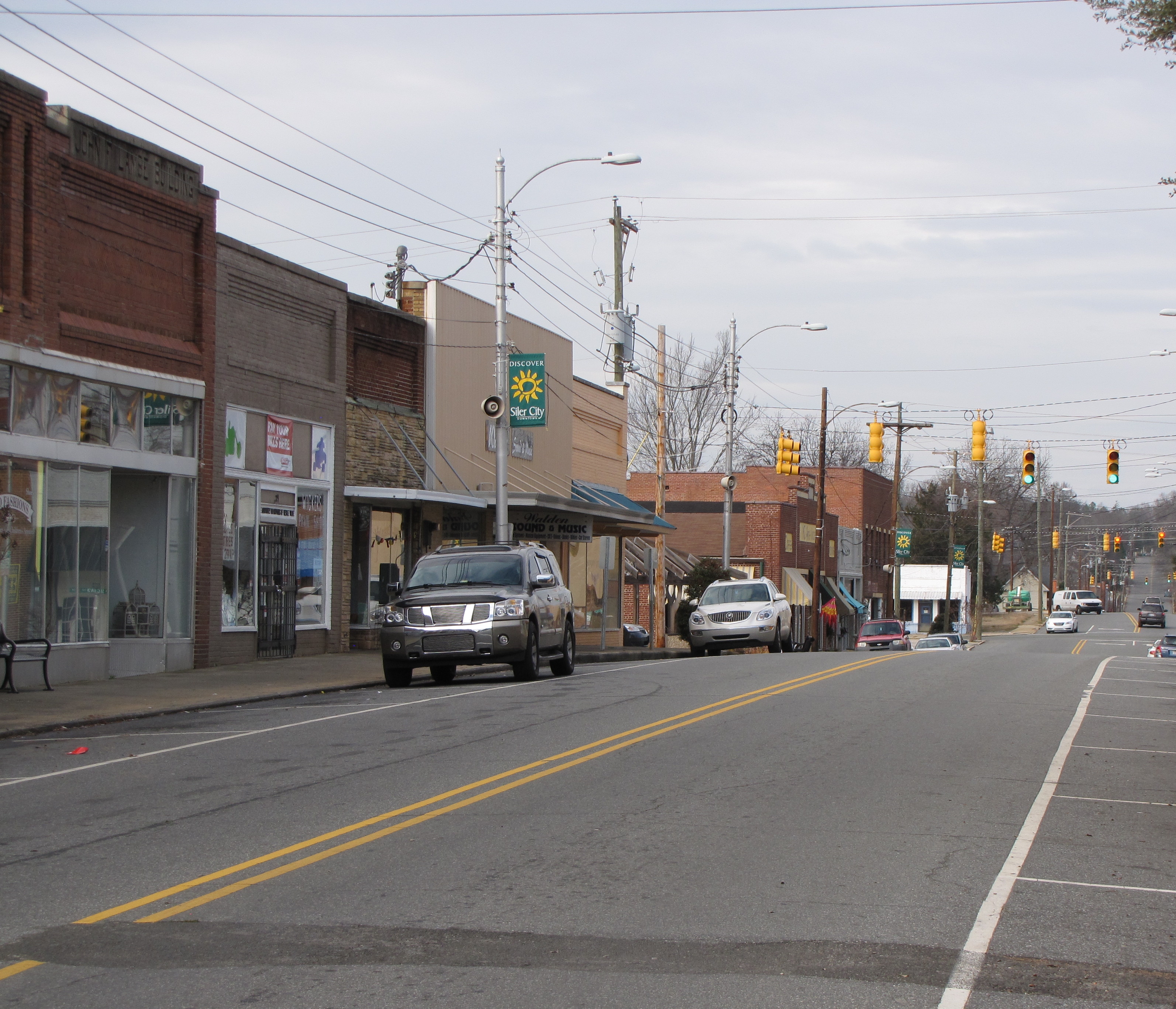
North Chatham Ave
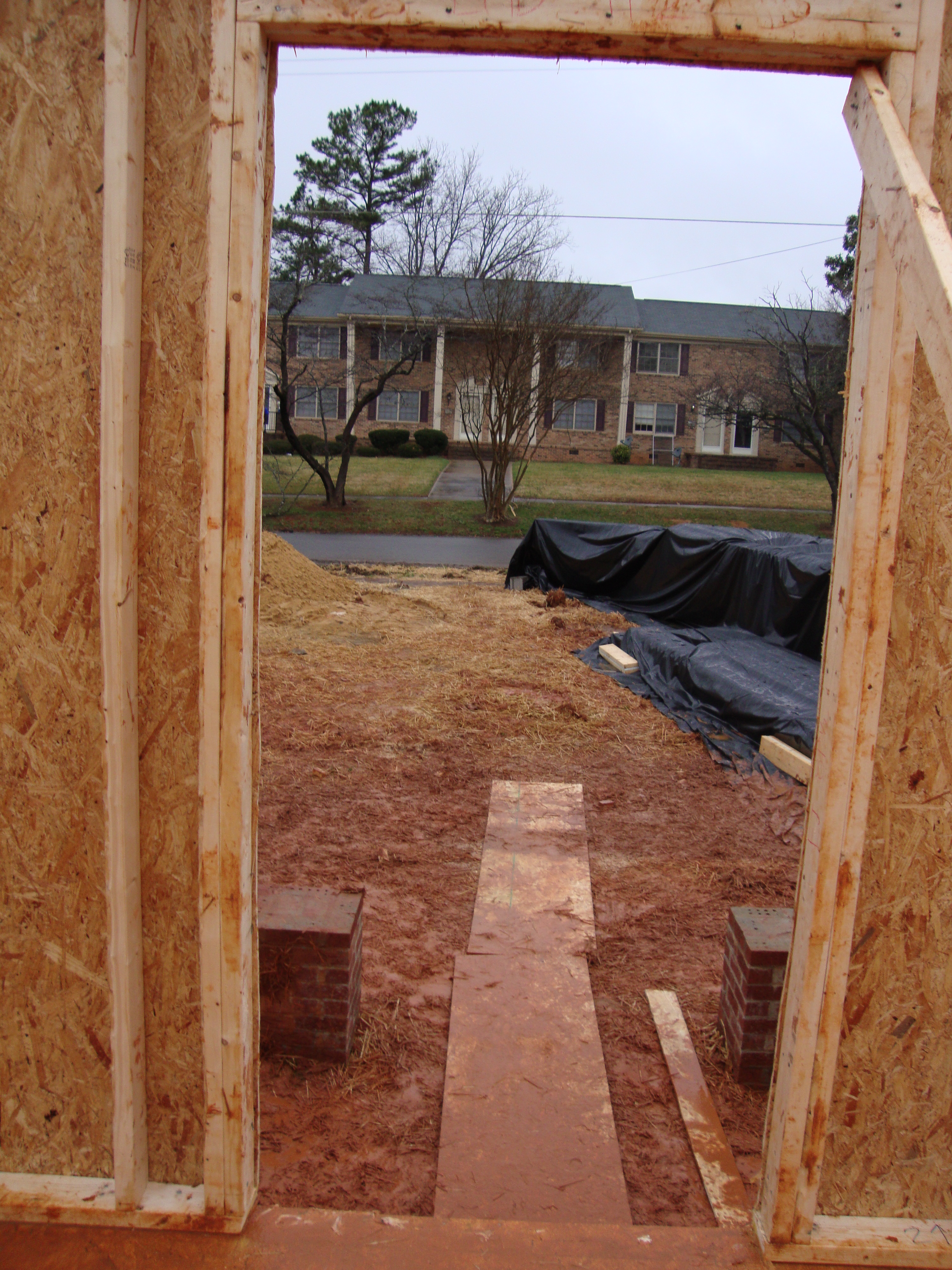
A room with a view
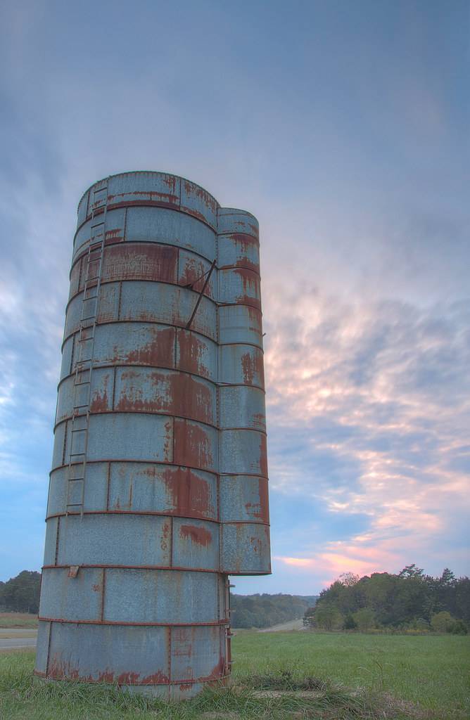
HDR Silo
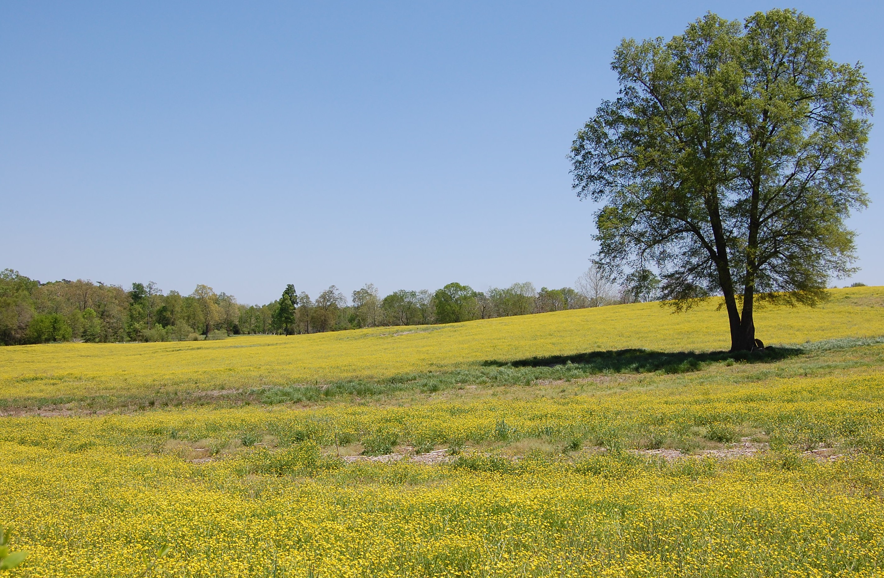
Fields of Gold

38. Liberty Water Tower
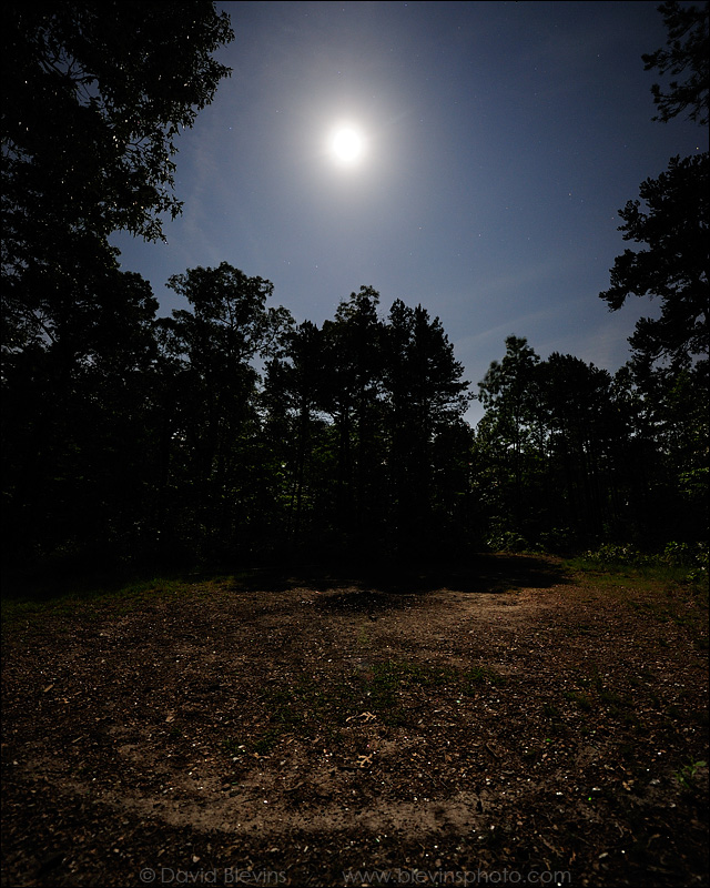
Full Moon over the Devil's Stompin' Ground

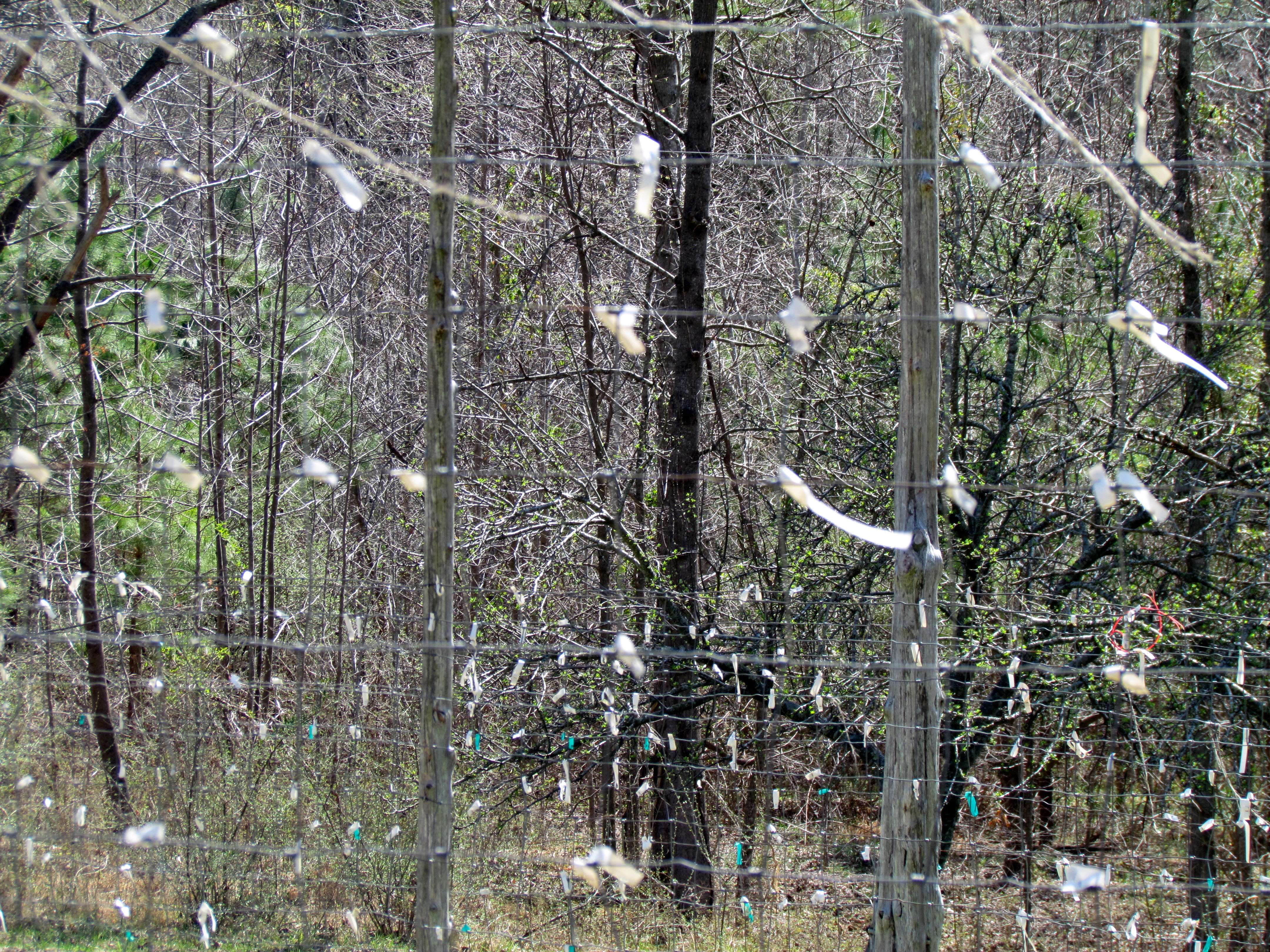
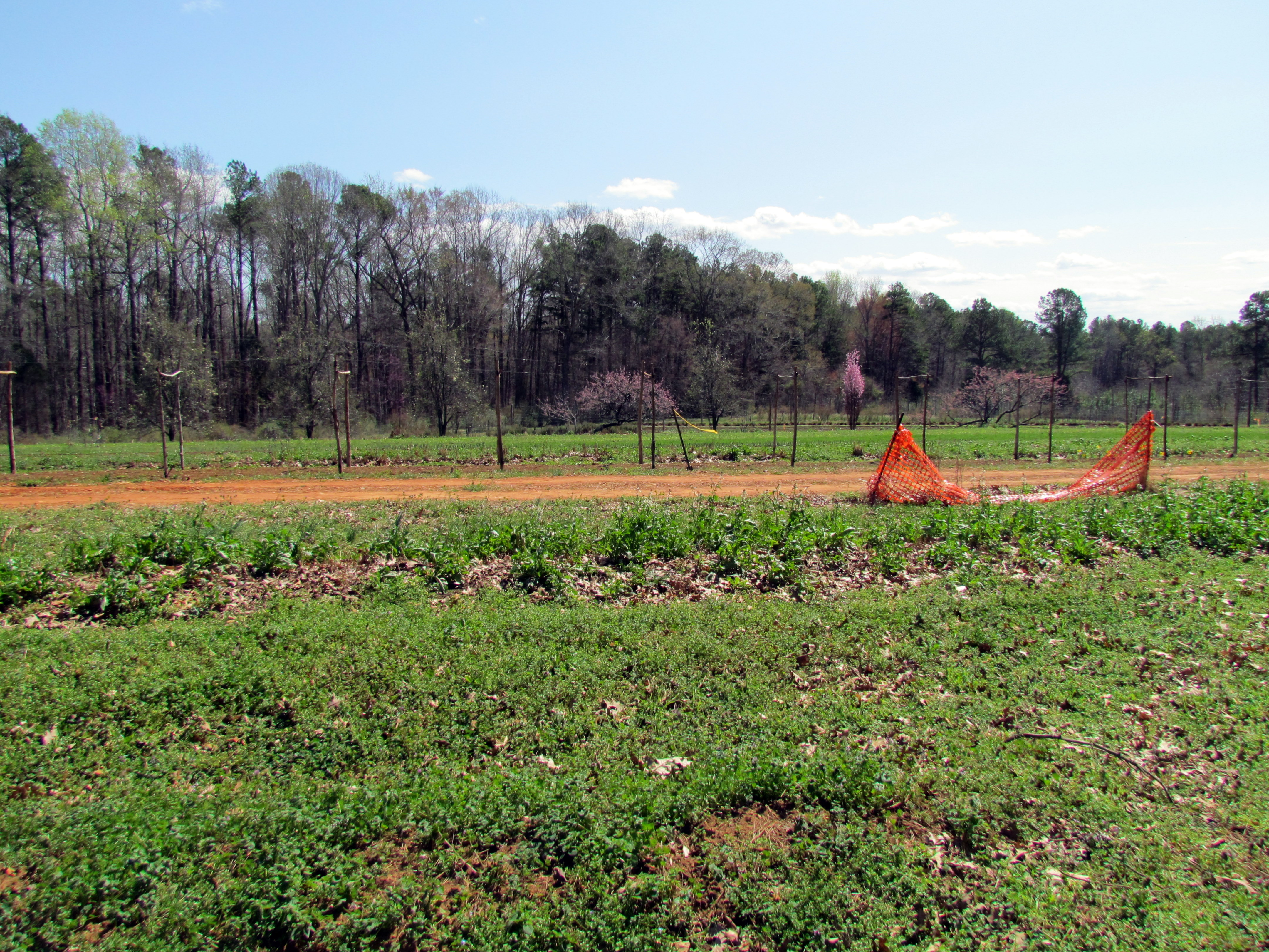
26. Orchard
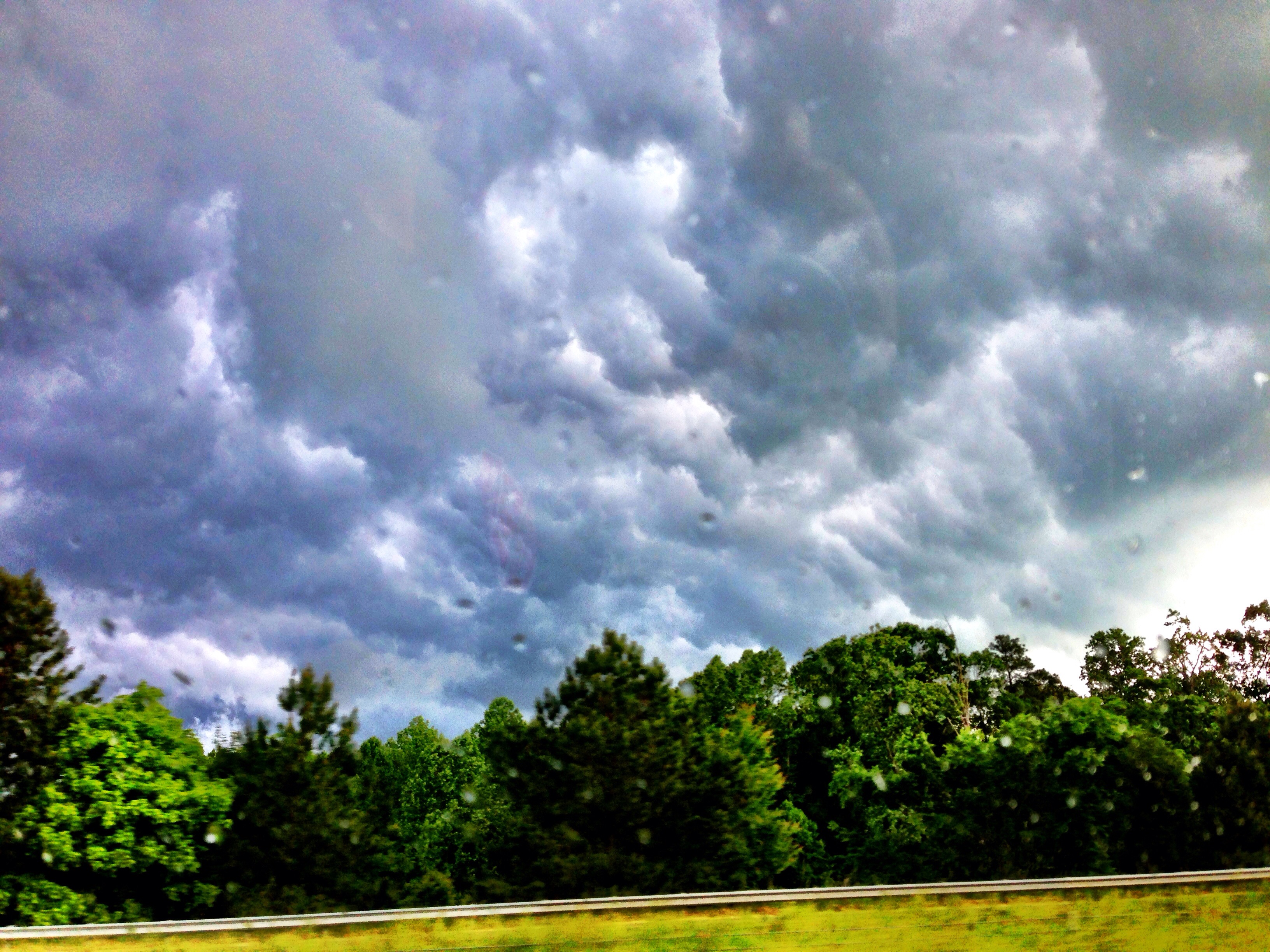
Storm Cell

Running With The Devil

250. Sunset on the way home...
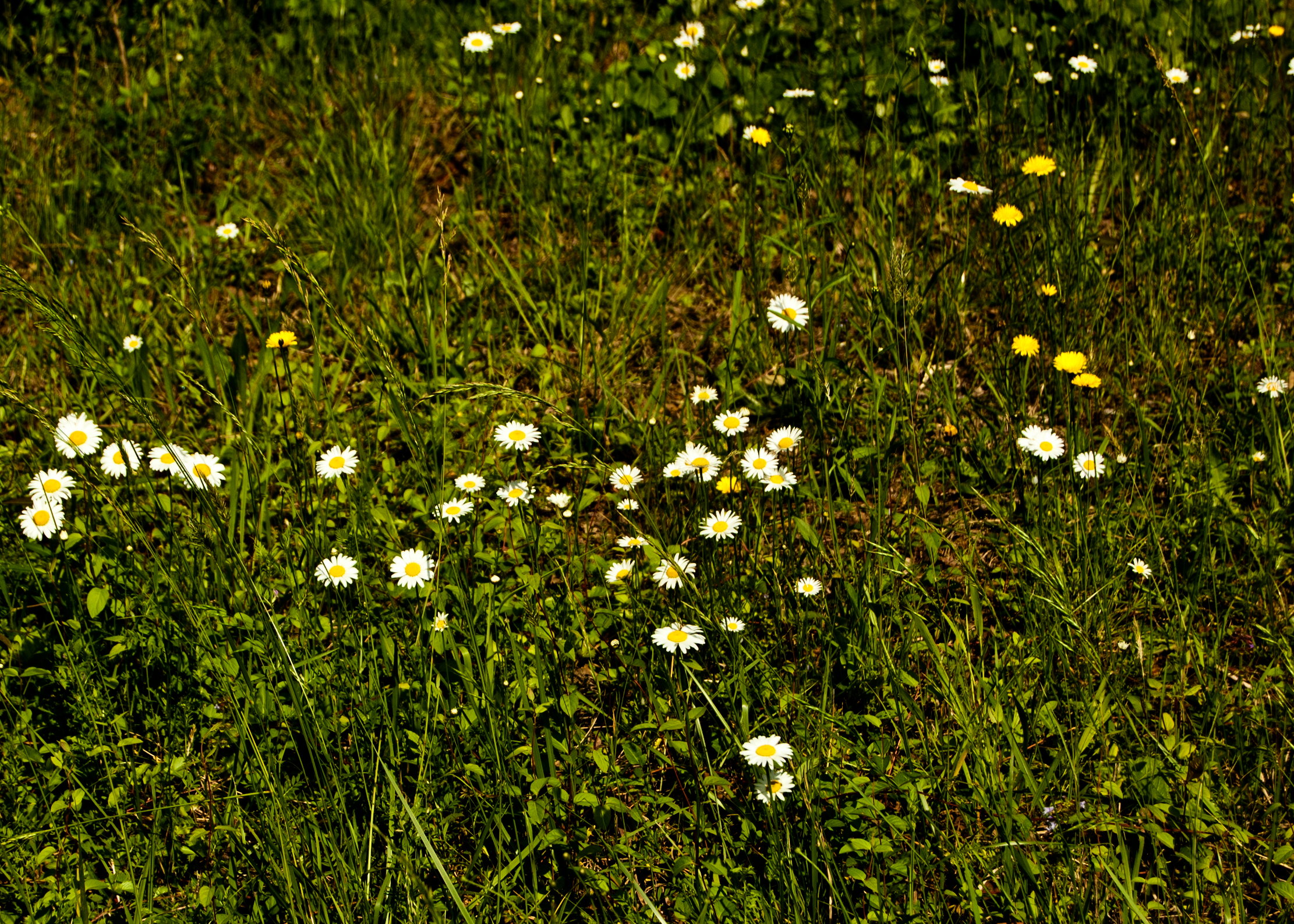
roadside wildflowers

Devil's Stompin' Ground Scenic Byway

Devil's Stompin' Ground Scenic Byway

40. Whatchu lookin at?

25. Sunrise
Ayrshire Farm TLC Pittsboro NC 1771

Rocky River
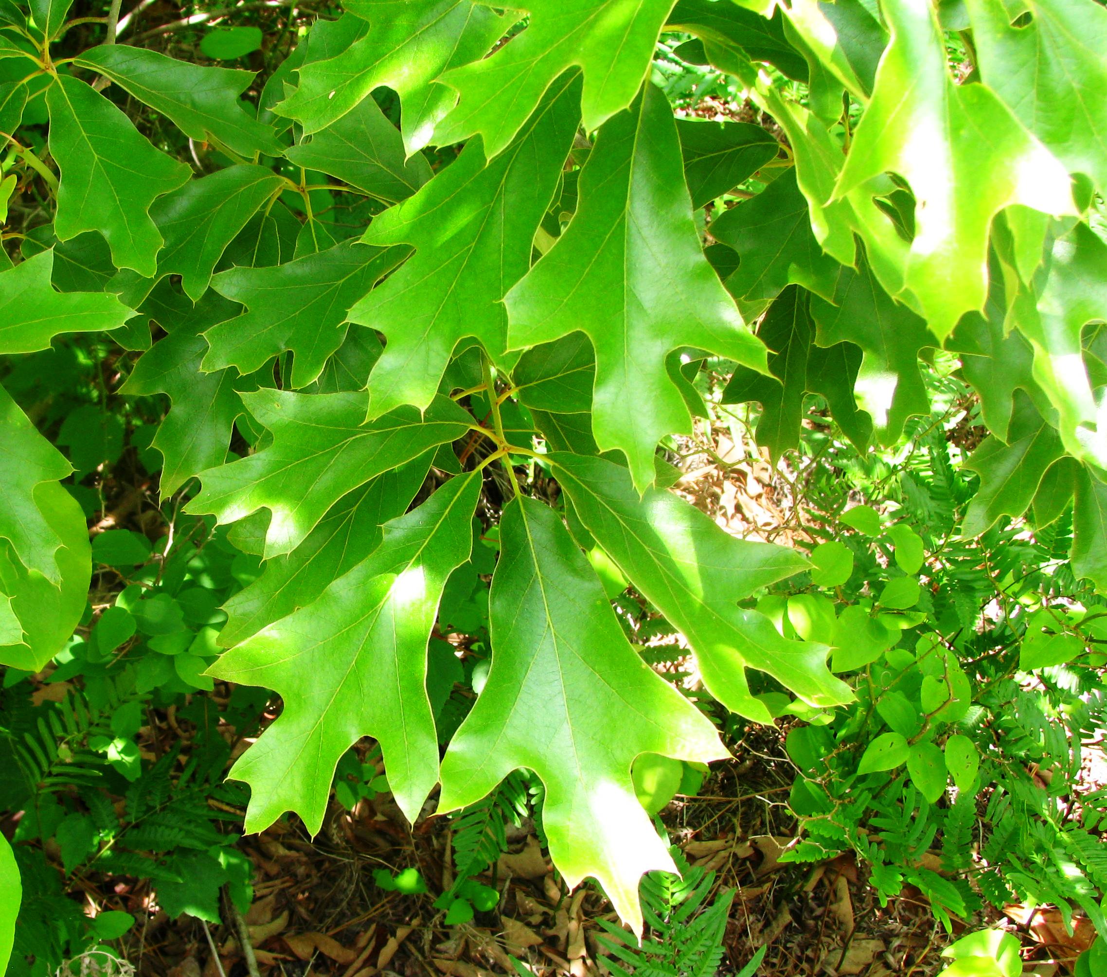
Quercus falcata
Ayrshire Farm TLC Pittsboro NC 1766

Shakori Hills
Topographic Map of Siler City, NC, USA
Find elevation by address:

Places near Siler City, NC, USA:
Matthews
Staley
Browns Crossroads Rd, Staley, NC, USA
6131 Claybrook Rd
Columbia
2135 Soapstone Mountain Rd
Liberty
1002 Meadowood Dr
Ramseur
2391 Low Bridge Rd
1409 Academy Rd Ext
Franklinville
Cedar Falls
Wicker Lovell Rd, Randleman, NC, USA
Providence
Cedar Wood Pl, Asheboro, NC, USA
1347 Old Liberty Rd
Stone Haven Dr, Asheboro, NC, USA
1028 Snowdon Ct
2480 N Meadows Loop
Recent Searches:
- Elevation of Corso Fratelli Cairoli, 35, Macerata MC, Italy
- Elevation of Tallevast Rd, Sarasota, FL, USA
- Elevation of 4th St E, Sonoma, CA, USA
- Elevation of Black Hollow Rd, Pennsdale, PA, USA
- Elevation of Oakland Ave, Williamsport, PA, USA
- Elevation of Pedrógão Grande, Portugal
- Elevation of Klee Dr, Martinsburg, WV, USA
- Elevation of Via Roma, Pieranica CR, Italy
- Elevation of Tavkvetili Mountain, Georgia
- Elevation of Hartfords Bluff Cir, Mt Pleasant, SC, USA