Elevation of Lakewood Falls Rd, Goldston, NC, USA
Location: United States > North Carolina > Chatham County > Gulf >
Longitude: -79.372753
Latitude: 35.525538
Elevation: 112m / 367feet
Barometric Pressure: 100KPa
Elevation Map:
Satellite Map:
Related Photos:
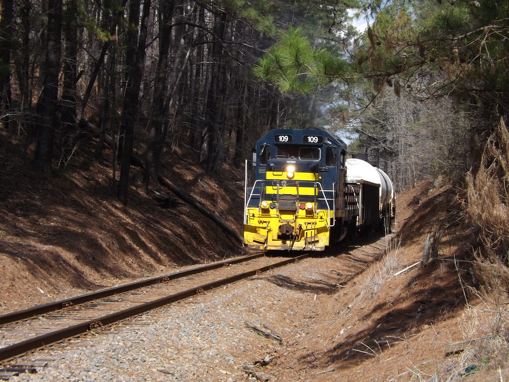
Through the cut
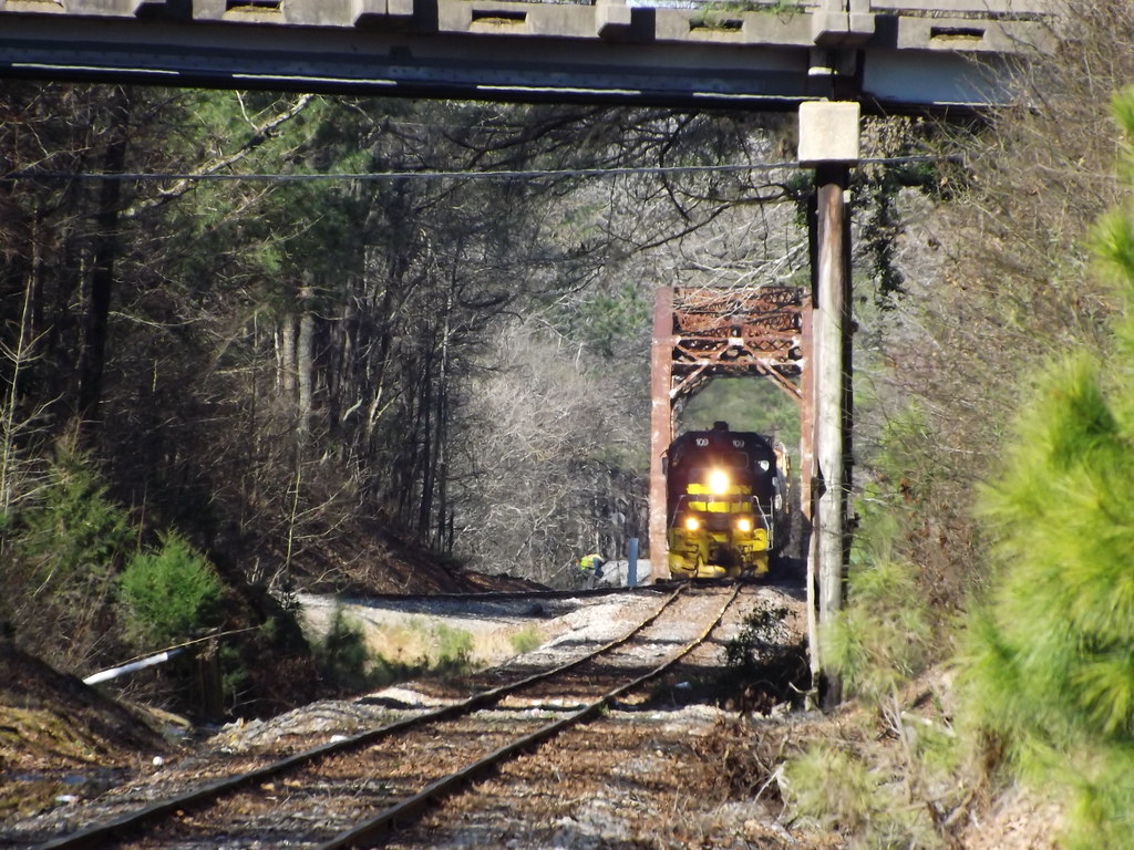
Unseen railroading
Not a Monet
View down Fayetteville Rd.
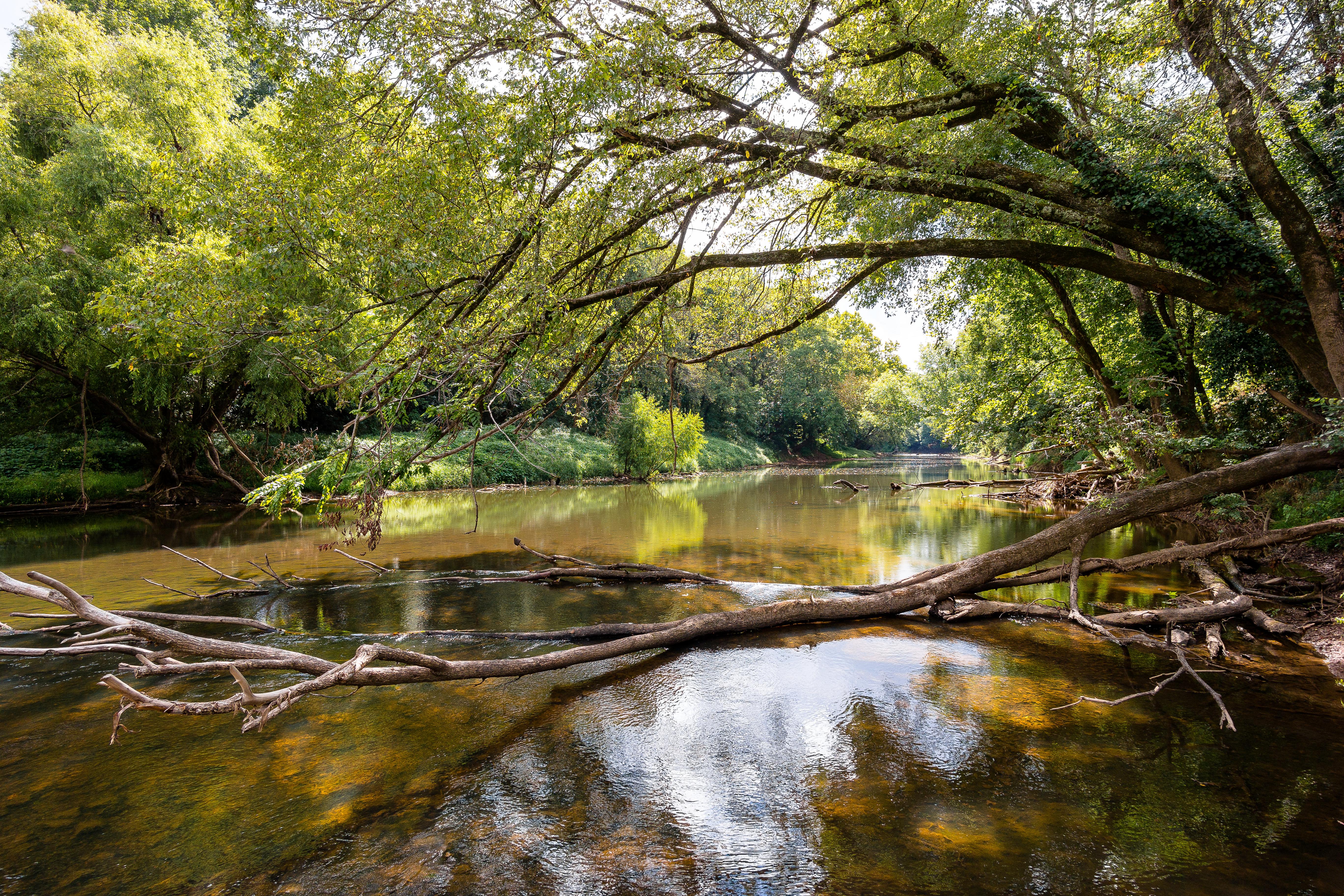
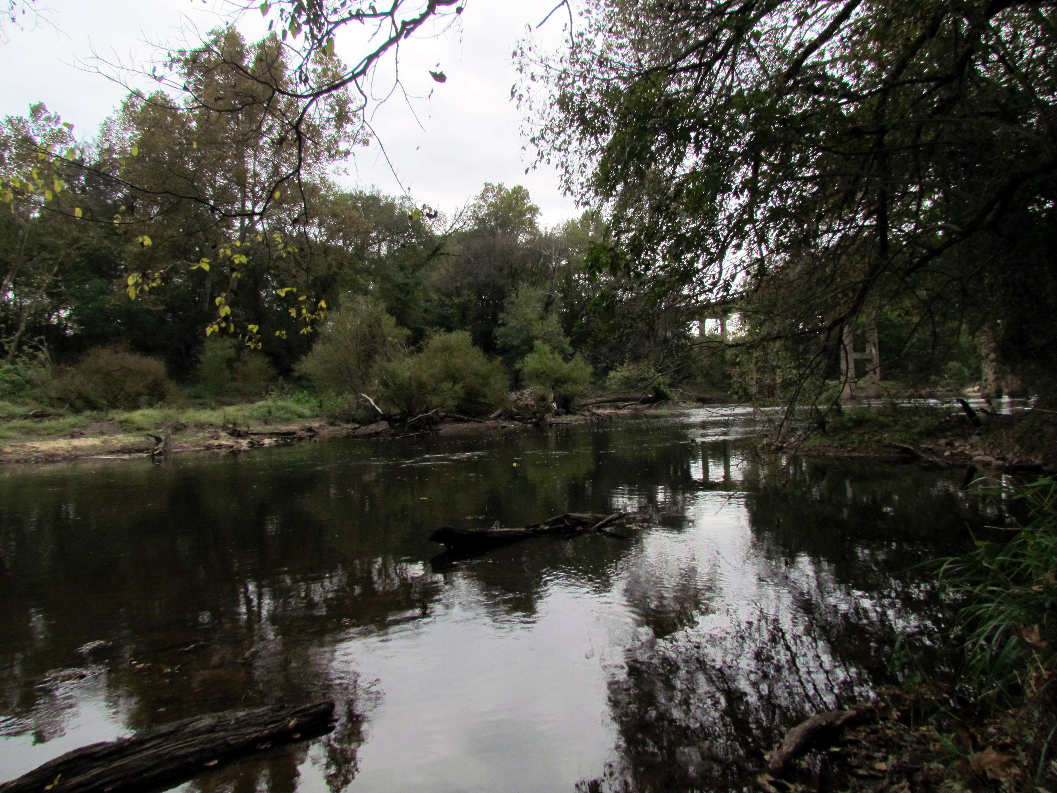
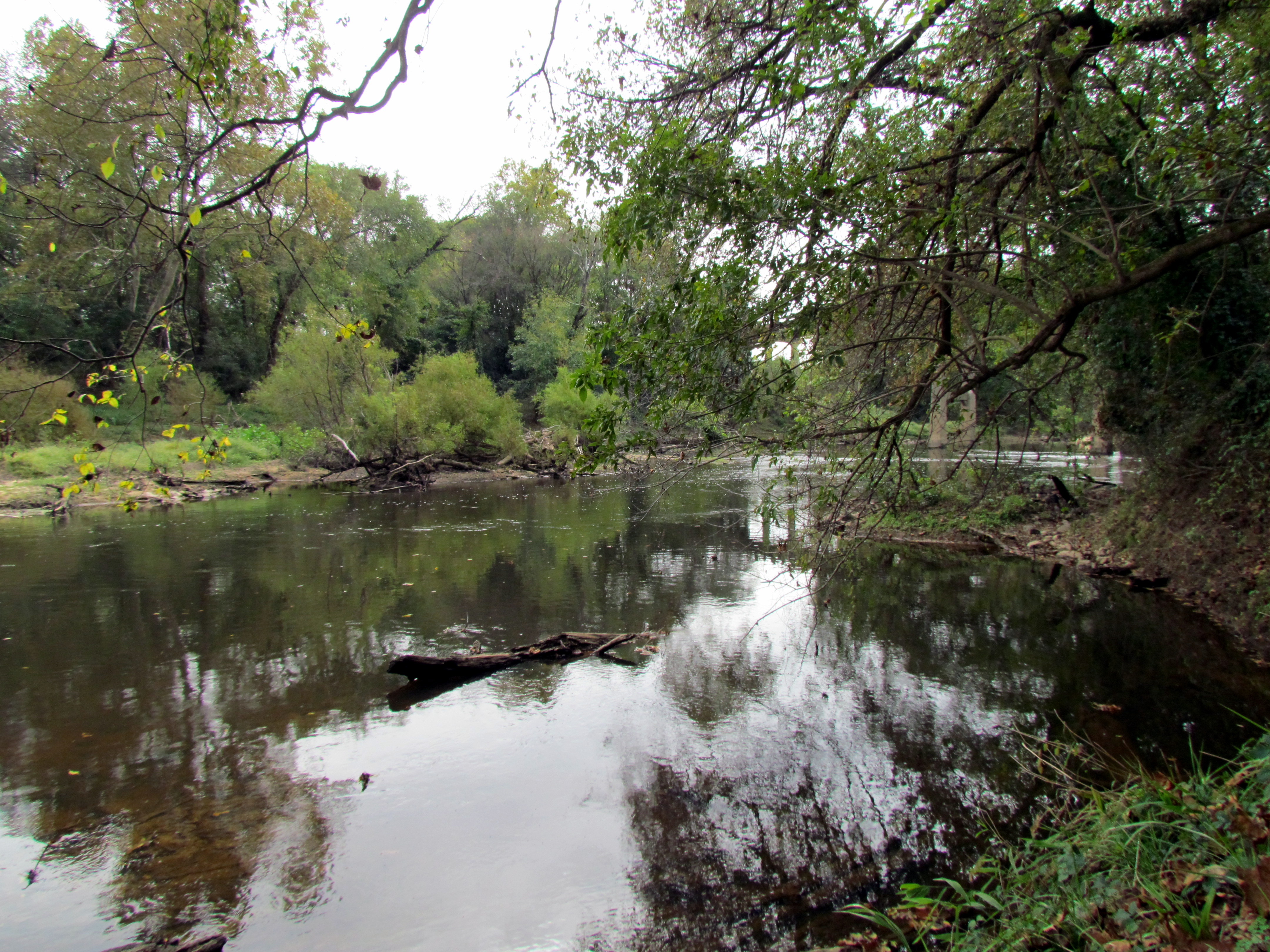
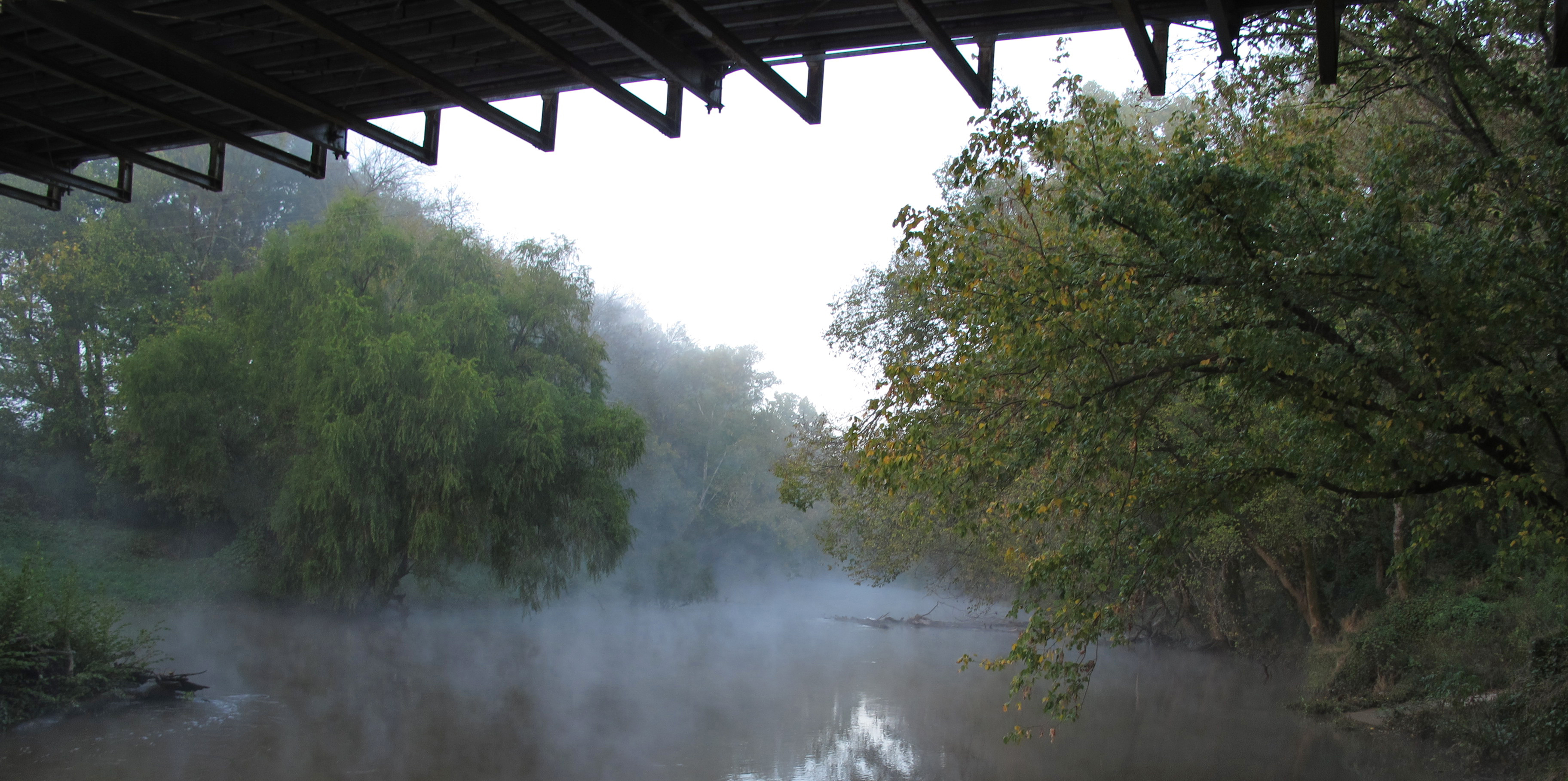
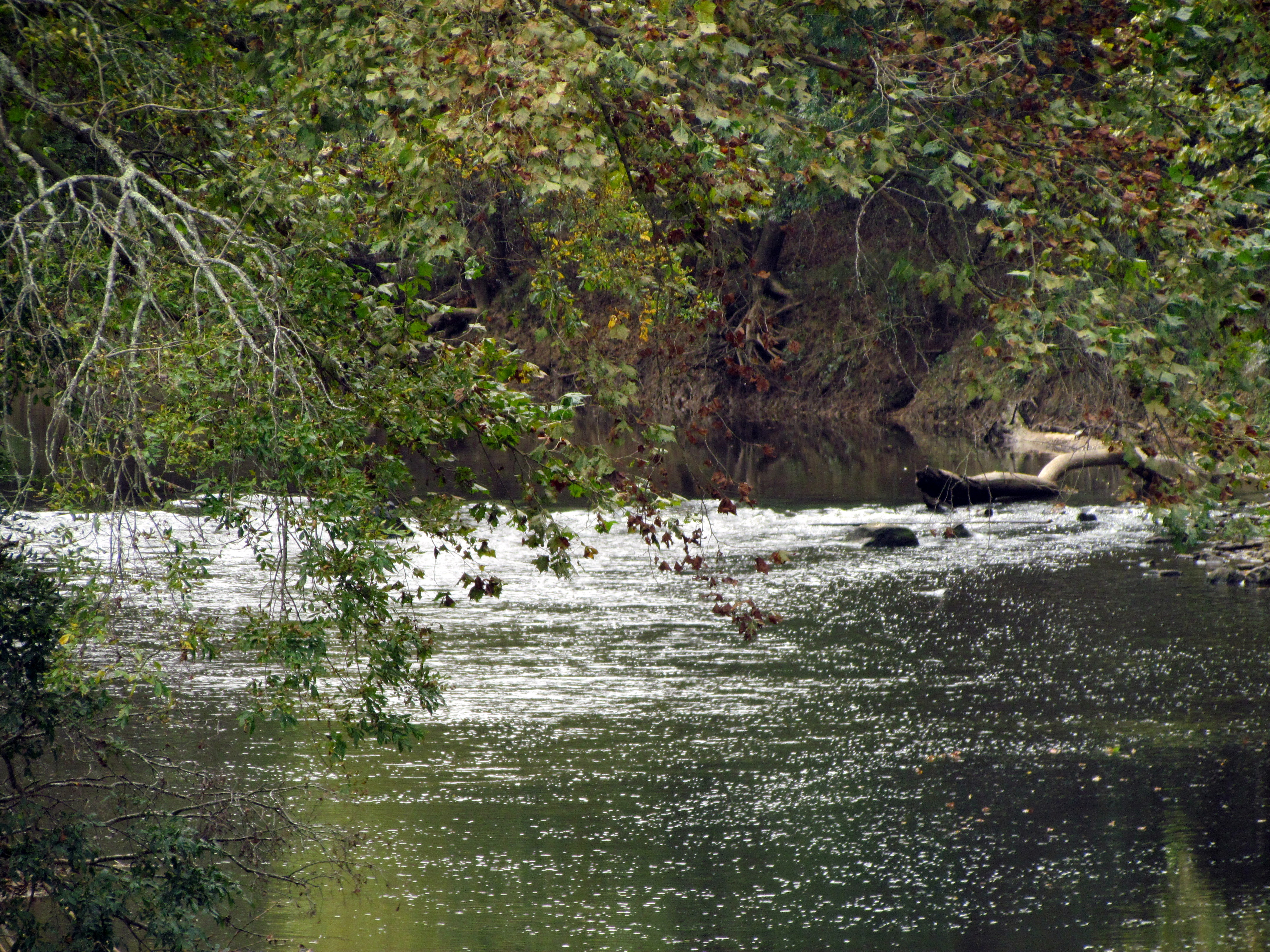
Deep River

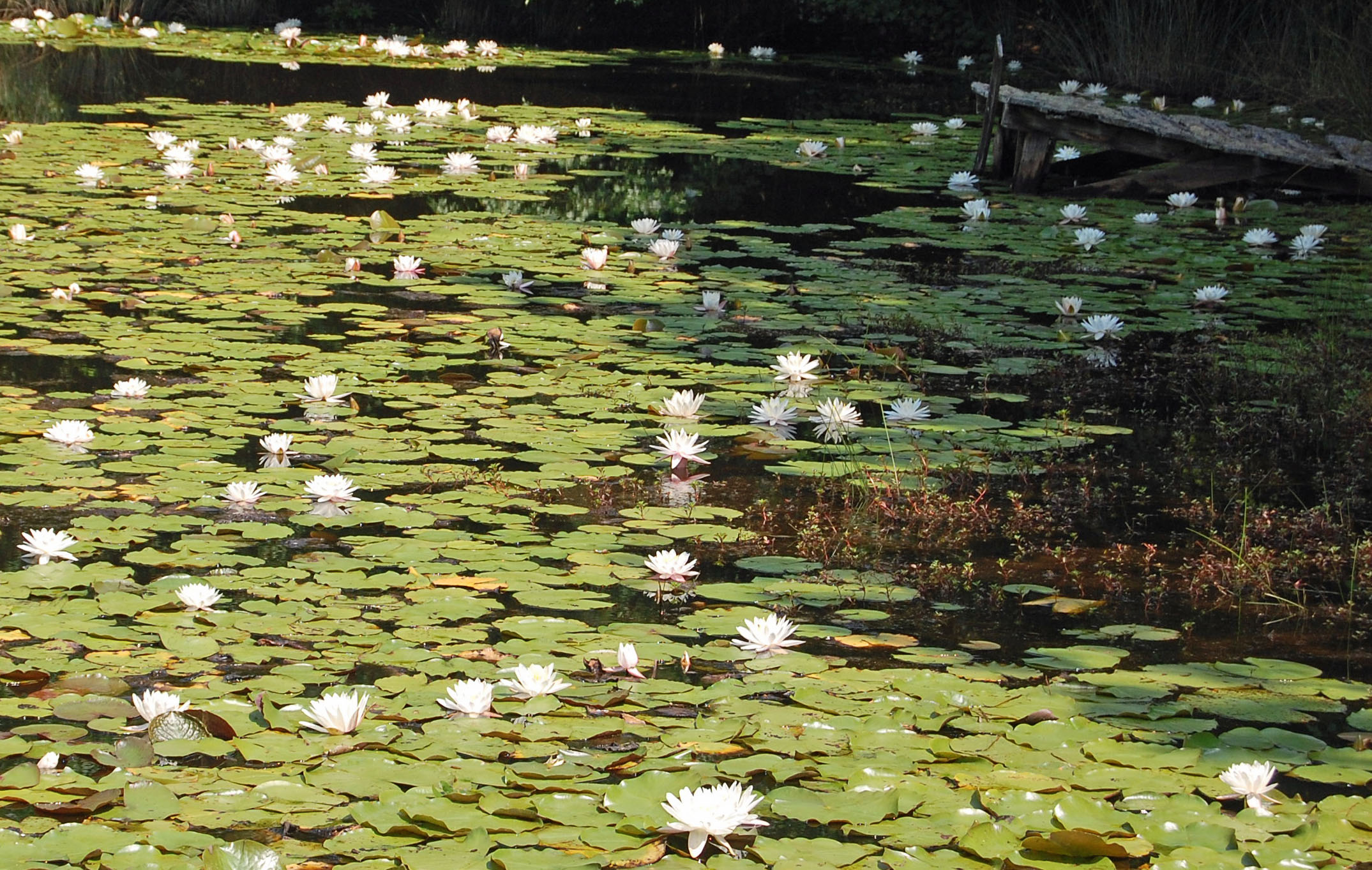
North Carolina, Lee County, Ole Gilliam Mill Pond (6,037f)

IMG_5730-web

When the city that never sleeps sleeps
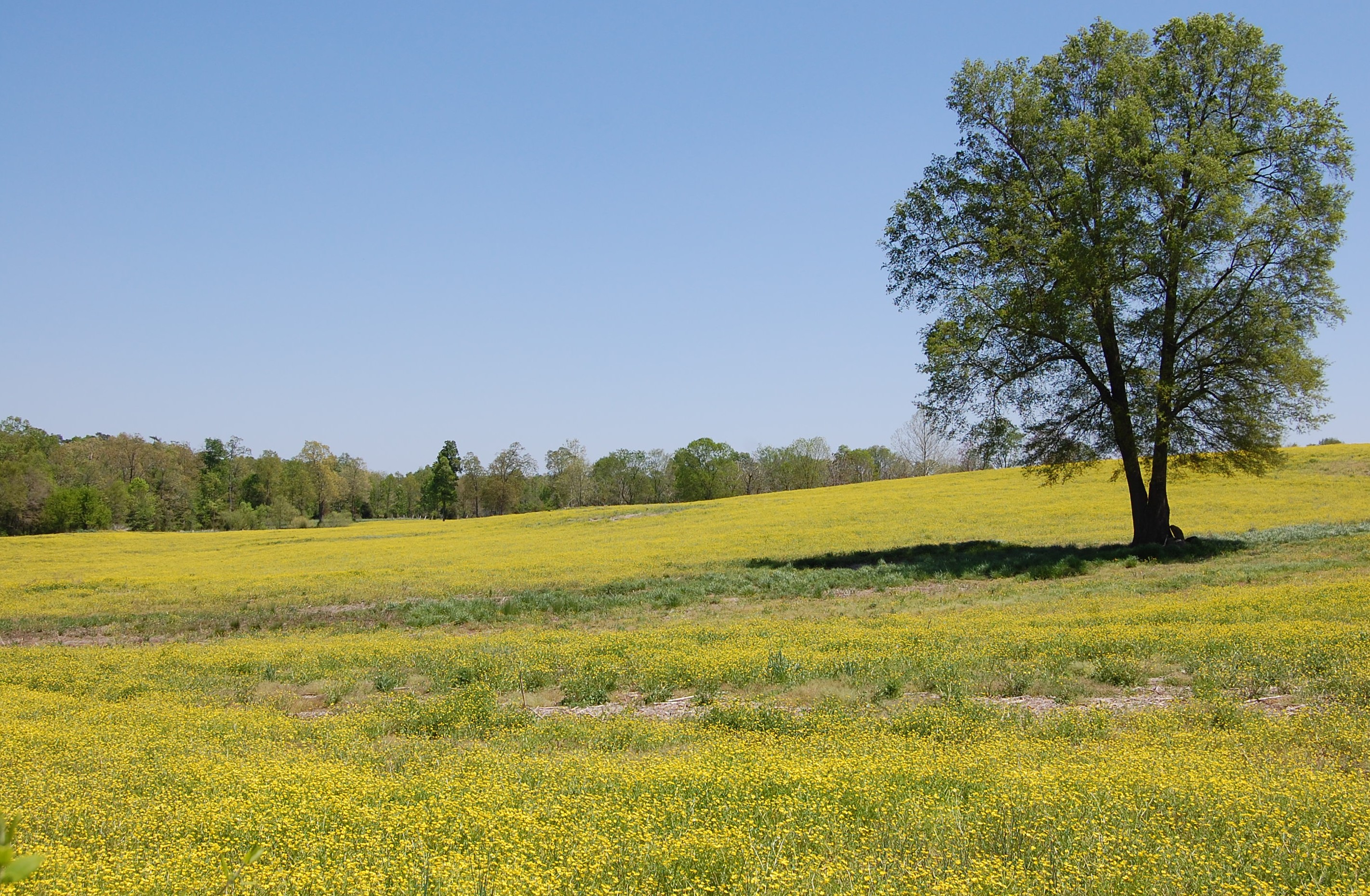
Fields of Gold
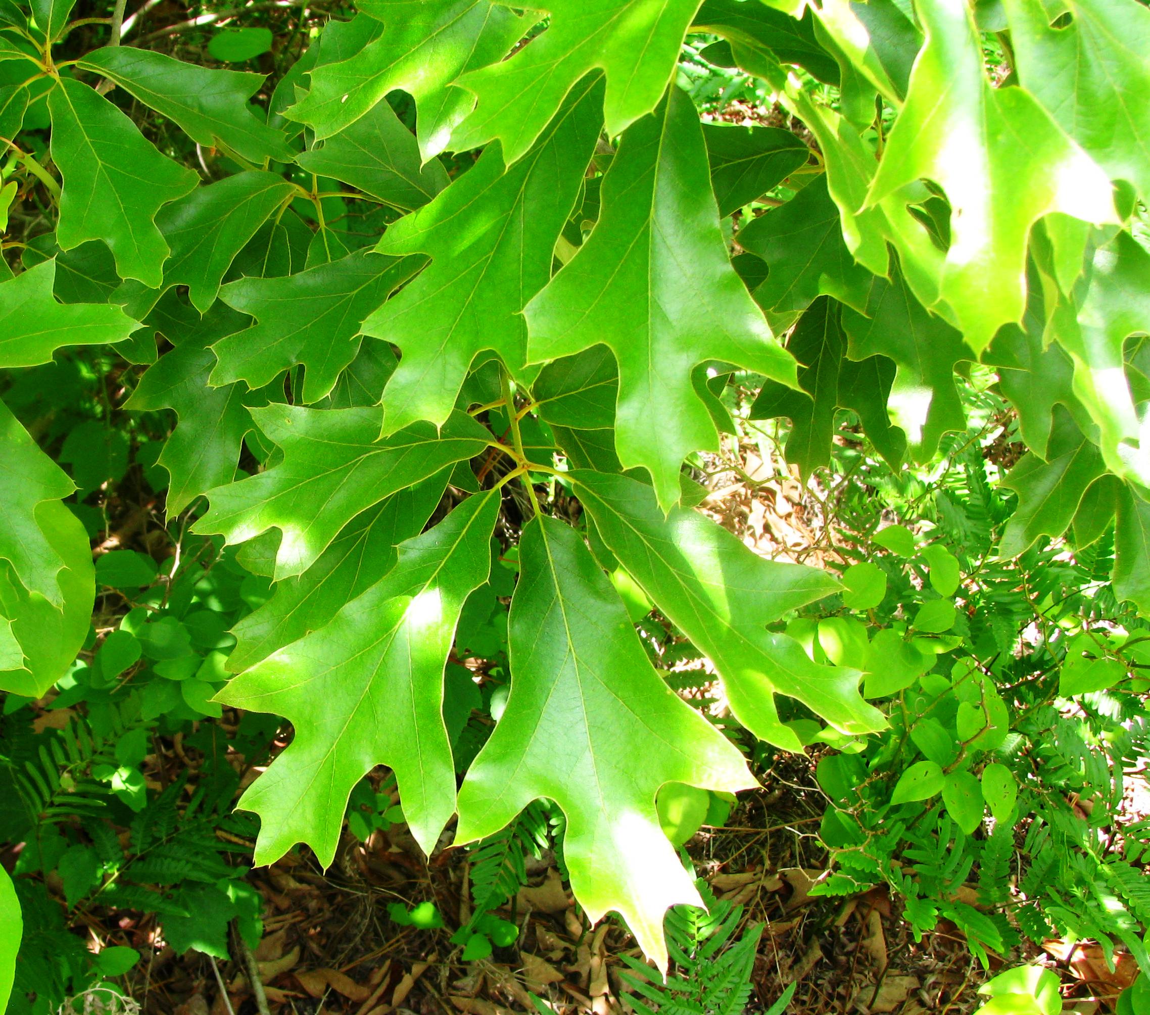
Quercus falcata
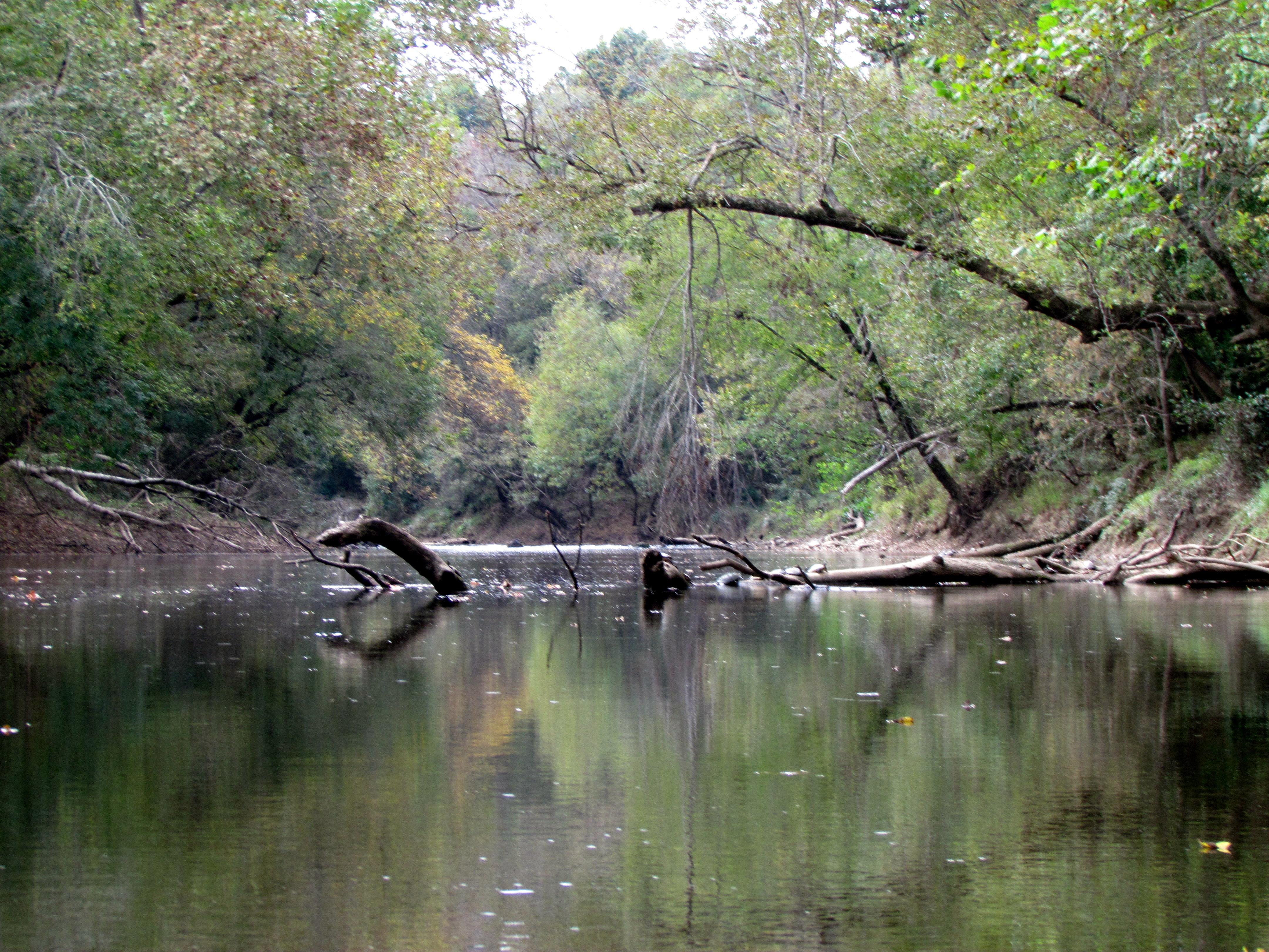
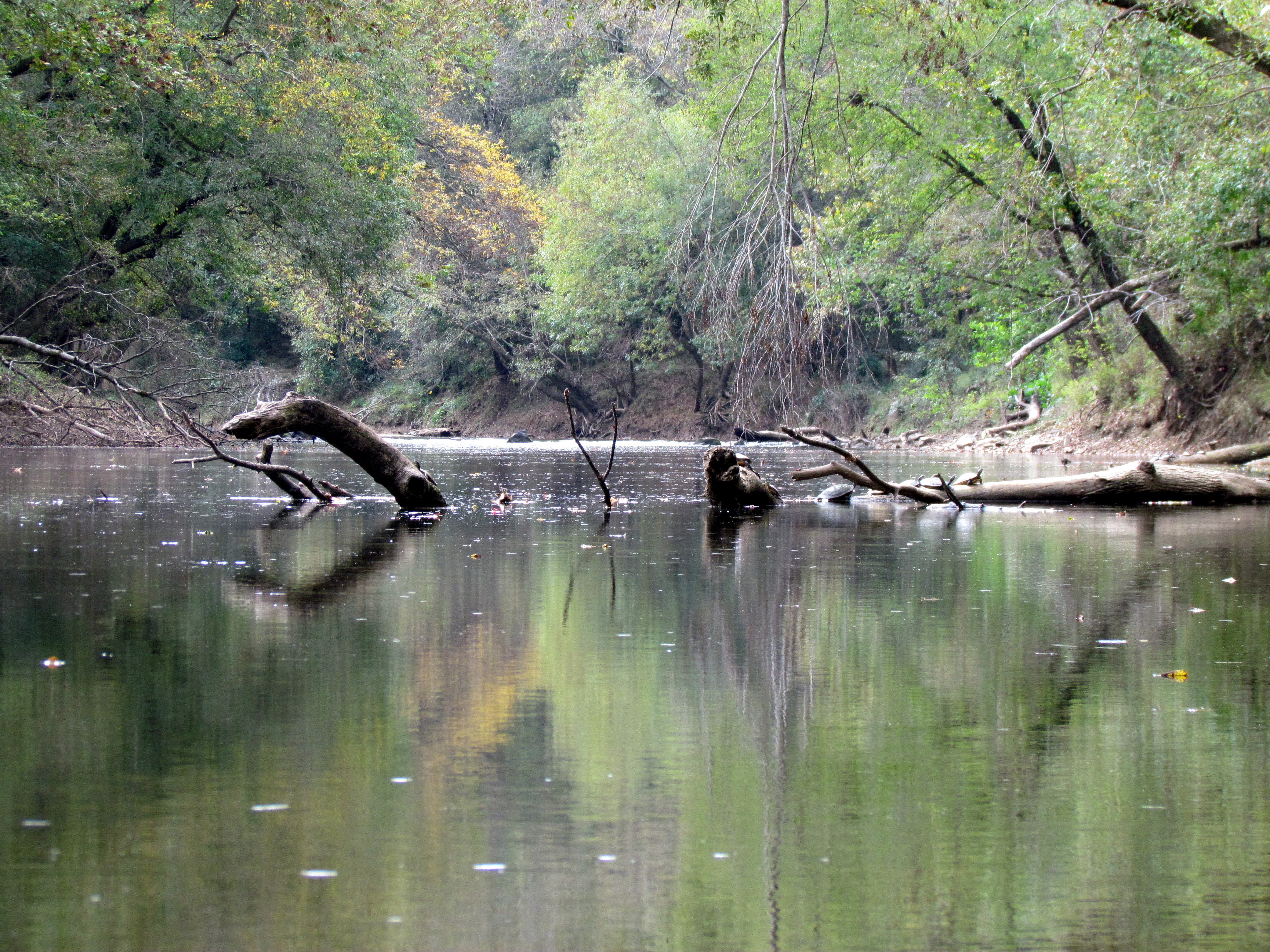
McIver Landing Deep River Gulf NC 6059
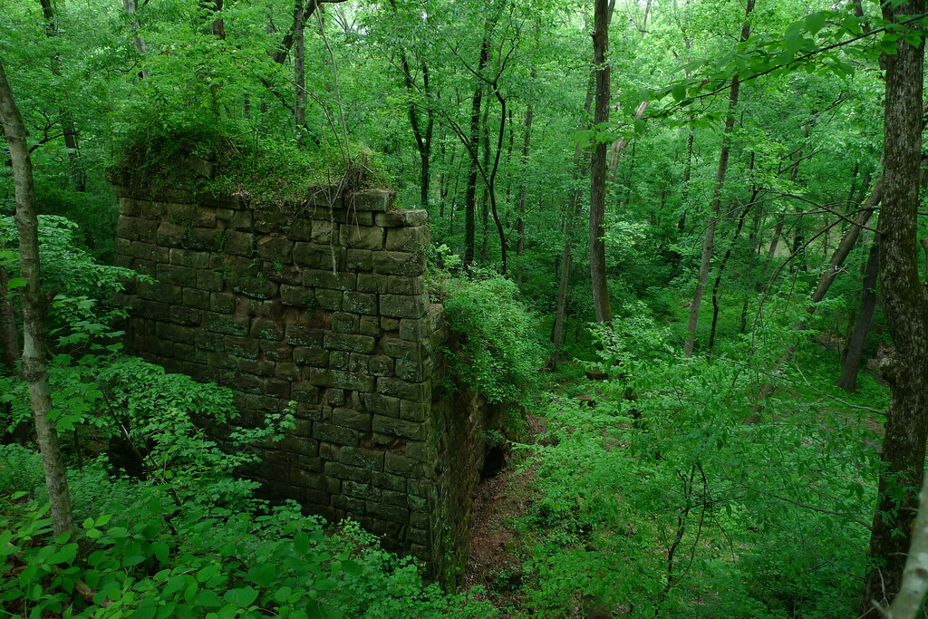
Endor Iron Furnace

McIver Landing Deep River Gulf NC 6058
McIver Landing Deep River Gulf NC 6053
Deep River Park Gulf NC 6039
Deep River Park Gulf NC 6038
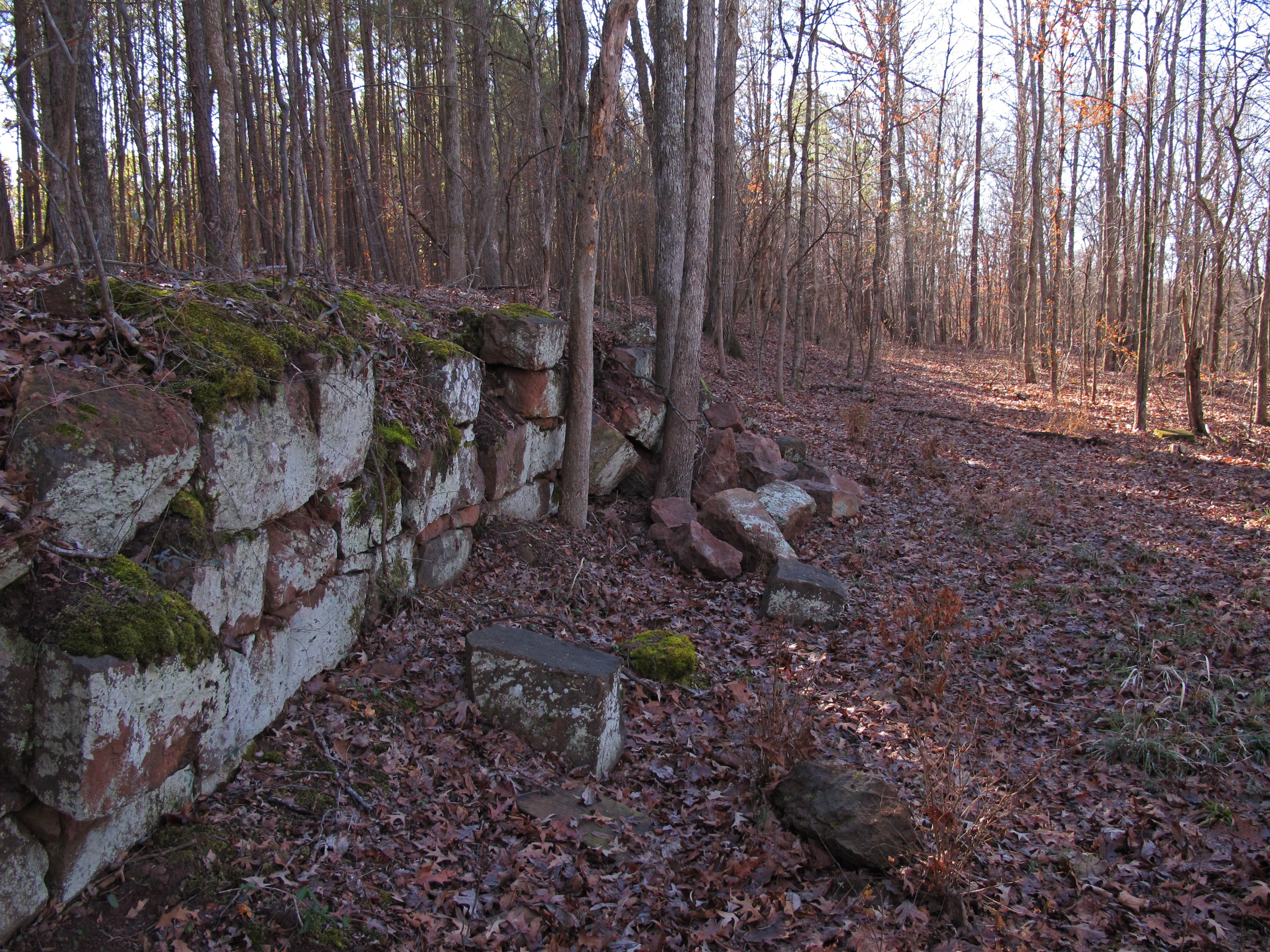
Endor Iron Furnace

Picnic and path
Deep River Park
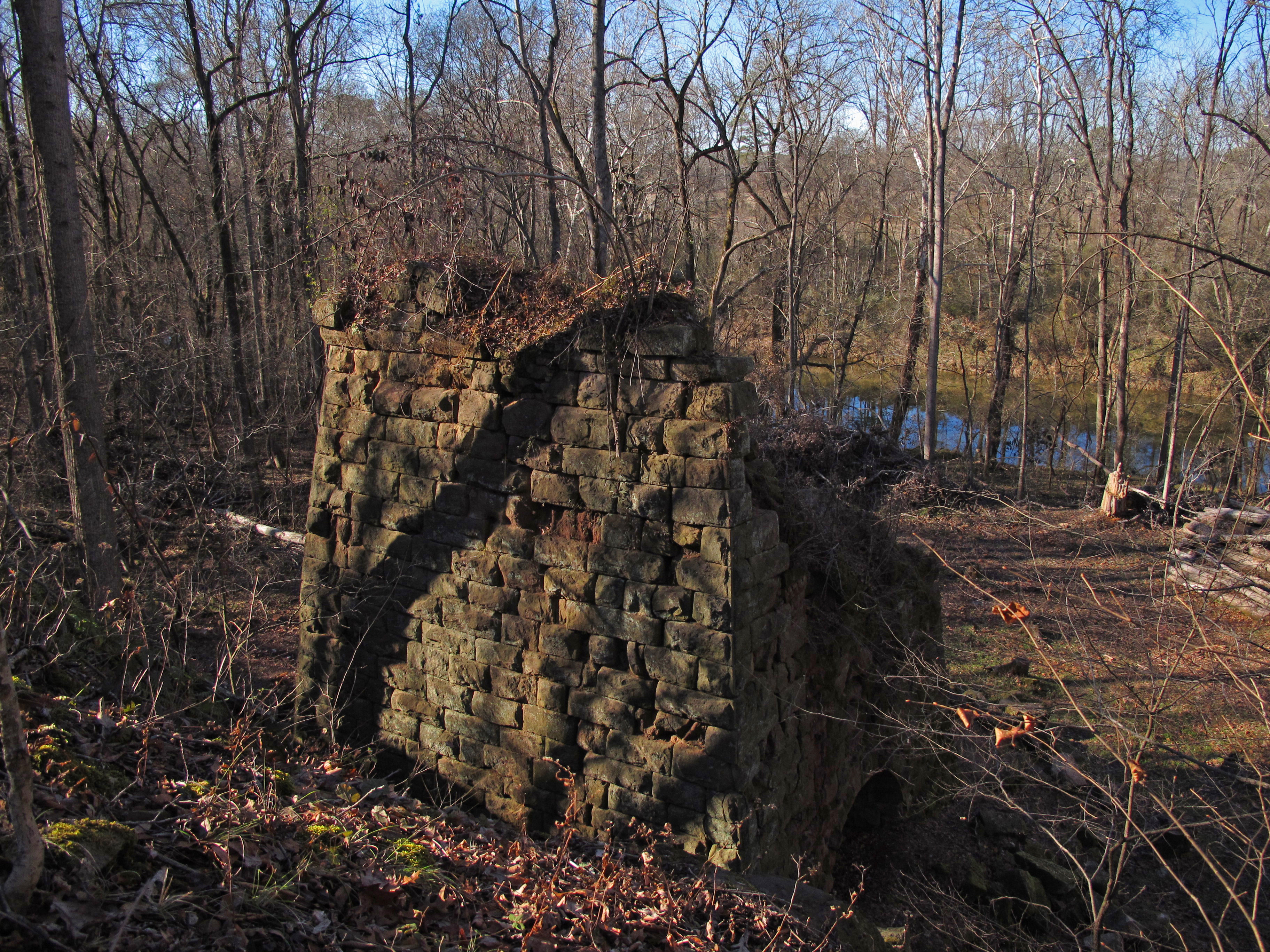
Endor Iron Furnace
Deep River Park Gulf NC 6028

Deep River Park Gulf NC 6026
20150725-DSC_8202
Topographic Map of Lakewood Falls Rd, Goldston, NC, USA
Find elevation by address:

Places near Lakewood Falls Rd, Goldston, NC, USA:
Herring Path
1347 Vander Oldham Rd
NC-, Bear Creek, NC, USA
Gulf
Bear Creek
Fayetteville Rd, Siler City, NC, USA
13489 Nc-902
48 Mark Willett Rd
11468 Nc-902
Cumnock Rd, Sanford, NC, USA
Big Buffalo Creek
627 Thomas Williams Rd
Oakland
444 State Rd 1466
Walter Bright Rd, Sanford, NC, USA
2729 Waters Edge Dr
788 Holly Ridge Rd
Enterprise Park Drive
Post Office Rd, Sanford, NC, USA
3472 Deep River Rd
Recent Searches:
- Elevation of Corso Fratelli Cairoli, 35, Macerata MC, Italy
- Elevation of Tallevast Rd, Sarasota, FL, USA
- Elevation of 4th St E, Sonoma, CA, USA
- Elevation of Black Hollow Rd, Pennsdale, PA, USA
- Elevation of Oakland Ave, Williamsport, PA, USA
- Elevation of Pedrógão Grande, Portugal
- Elevation of Klee Dr, Martinsburg, WV, USA
- Elevation of Via Roma, Pieranica CR, Italy
- Elevation of Tavkvetili Mountain, Georgia
- Elevation of Hartfords Bluff Cir, Mt Pleasant, SC, USA