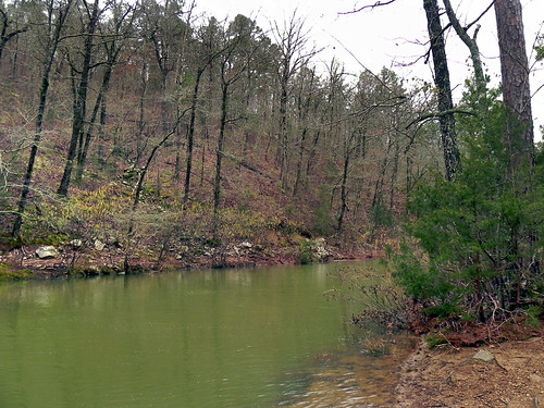
Latitude: 34.6299645
Longitude: -93.7450794
Elevation: 233 meters / 764 feet
Barometric Pressure 986KPa

Related Photos

Road Trip: Ouachita National Forest by deborah.soltesz, View along Arkansas highway in Ouachita N.F.

<a href="http://www.deborah.ws/?p=325" rel="nofollow">
Road Trip: Ouachita National Forest by deborah.soltesz
Pasture. Mount Ida, Arkansas. 2023. by BradSimsPhoto, arkansas explorearkansas nikon outside arkansasoutdoors nature naturalstate 2023 farm z6ii nikkor247
Pasture. Mount Ida, Arkansas. 2023. by BradSimsPhoto
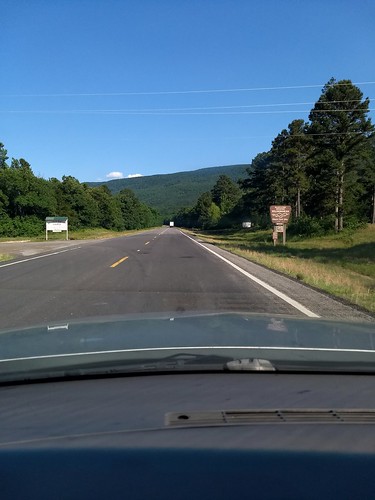
Driving through the Ouachita National Forest by Zach Frieben, 2018 arkansas mountains pointofview buick motorolamotog5plus
Driving through the Ouachita National Forest by Zach Frieben
Archeological excavation... Or Ewok villiage....you decide... #aas2014 Summer Dig near Oden, AR by Farther Along, square squareformat mayfair iphoneography instagramapp uploaded:by=instagram
Archeological excavation... Or Ewok villiage....you decide... #aas2014 Summer Dig near Oden, AR by Farther Along
Ouachita National Forest by ddancernc, Highway 270 W in Arkansastrees forest landscapes roadtrip2010arkansas
Ouachita National Forest by ddancernc
Ouachita National Forest by ddancernc, Highway 270 W in Arkansastrees forest landscapes roadtrip2010arkansas
Ouachita National Forest by ddancernc
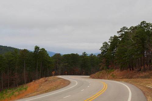
Blowout Mountain Scenic Area by Piedmont Fossil, ouachita mountains arkansas national forest road highway scenic view
Blowout Mountain Scenic Area by Piedmont Fossil
Stream by Clint Midwestwood, Because we're us, staying up all night to drive 700 miles from Chicago to Arkansas wasn't quite enou
Stream by Clint Midwestwood
Explore by Clint Midwestwood, This was a nifty little trail, though we had no idea where it went. There was a campground next to B
Explore by Clint Midwestwood
Sims, Arkansas by courthouselover, Sims, Arkansas is a small Ouachita Mountains community located in northern Montgomery County, northw
Sims, Arkansas by courthouselover
DSCN0546 by fotograficat, Fourth and final camp. Had to use a spot near the end of forest road because it was too rocky in the
DSCN0546 by fotograficat
Brushy Creek by Clint Midwestwood, The quiet waters of Brushy Creek, which runs next to the Big Brushy Recreational Trail Complex in th
Brushy Creek by Clint Midwestwood
DSCN0551 by fotograficat, Some of the smoothest trail we've seen so far. On day 5 we saw lots of mountain bike tracks so this
DSCN0551 by fotograficat
DSCN0530 by fotograficat, This is where the trail leaves the road and enters a prescribed burn area. We later saw a sign that
DSCN0530 by fotograficat
DSCN0544 by fotograficat, "N" tree.backpacking arkansas ntree section4 ouachitatrail
DSCN0544 by fotograficat
DSCN0555 by fotograficat, Rare vista. Actually there were lots of good views in this section. Many would be better in winter w
DSCN0555 by fotograficat
DSCN0538 by fotograficat, Big boulders on Rockhouse Mountain.boulders backpacking arkansas section4 ouachitatrail rockhousemou
DSCN0538 by fotograficat
DSCN0559 by fotograficat, Water! Brushy Creek, where this trip ends.backpacking arkansas brushycreek section4 ouachitatrail
DSCN0559 by fotograficat
DSCN0550 by fotograficat, Another "N" tree.backpacking arkansas ntree section4 ouachitatrail
DSCN0550 by fotograficat
DSCN0531 by fotograficat, Neat rock carved by water where we took a snack break.boulder backpacking arkansas section4 ouachita
DSCN0531 by fotograficat
Twin Creek by marfita,
Twin Creek by marfita
Twin Creek by marfita,
Twin Creek by marfita
Twin Creek by marfita,
Twin Creek by marfita