Latitude: 34.659264
Longitude: -93.6910292
Elevation: 222 meters / 728 feet
Barometric Pressure 987KPa

Related Photos

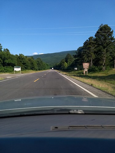
Driving through the Ouachita National Forest, 2018 arkansas mountains pointofview buick motorolamotog5plus
Driving through the Ouachita National Forest
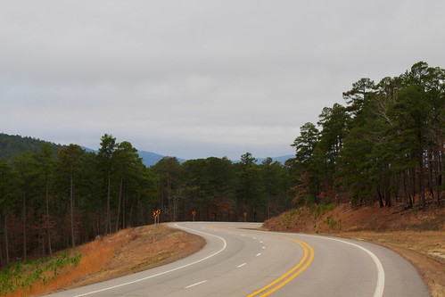
Road Trip: Ouachita National Forest, trees forest vista arkansas
Road Trip: Ouachita National Forest
Blowout Mountain Scenic Area, ouachita mountains arkansas national forest road highway scenic view
Blowout Mountain Scenic Area
IMG_0931, trees leaves nationalforest valley arkansas ouachita thewomble
IMG_0931
DSCN0555, backpacking vista arkansas section4 ouachitatrail
DSCN0555
Pasture. Mount Ida, Arkansas. 2023., arkansas explorearkansas nikon outside arkansasoutdoors nature naturalstate 2023 farm z6ii nikkor2470mm landscape nikonz6ii
Pasture. Mount Ida, Arkansas. 2023.
Sims, Arkansas, arkansas ar landscapes montgomerycounty sims ouachitamountains northamerica unitedstates us ouachitanationalforest nationalforests unitedstatesforestservice ouachitas unitedstatesofamerica
Sims, Arkansas
Ouachita National Forest, trees forest landscapes roadtrip2010arkansas
Ouachita National Forest
Ouachita National Forest, trees forest landscapes roadtrip2010arkansas
Ouachita National Forest
Stream, arkansas ouachitanationalporest
Stream
Explore, arkansas ouachitanationalforest brushymountaintrail bigbrushytrailcomplex
Explore
DSCN0546, camp backpacking arkansas section4 ouachitatrail
DSCN0546
092, honeyholeglades
092
Brushy Creek, arkansas ouachitanationalforest bigbrushycreek
Brushy Creek
DSCN0551, backpacking arkansas section4 ouachitatrail
DSCN0551
Twin Creek,
Twin Creek
DSCN0544, backpacking arkansas ntree section4 ouachitatrail
DSCN0544
Twin Creek,
Twin Creek
DSCN0559, backpacking arkansas brushycreek section4 ouachitatrail
DSCN0559
DSCN0550, backpacking arkansas ntree section4 ouachitatrail
DSCN0550
Twin Creek,
Twin Creek