Elevation of 10th St NE, East Wenatchee, WA, USA
Location: United States > Washington > Douglas County > East Wenatchee >

Longitude: -120.24190

Latitude: 47.420742

Elevation: -10000m / -32808feet

Barometric Pressure: 295KPa

Elevation Map:

elevation map of 10th St NE, East Wenatchee, WA, USA
Satellite Map:

Satellite map of 10th St NE, East Wenatchee, WA, USA
Related Photos:

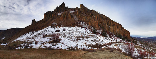
usa mountains rain washington spring day geocaching view hike columbiariver wa cache wenatchee caching saddlerock appleatchee gc1r3xx
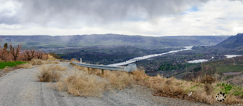
Overlooking Saddlerock
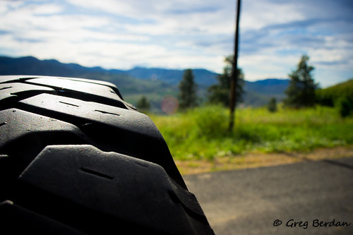
black grass skyline clouds offroad tire rubber spare telephonepole odc2
Spare a glance
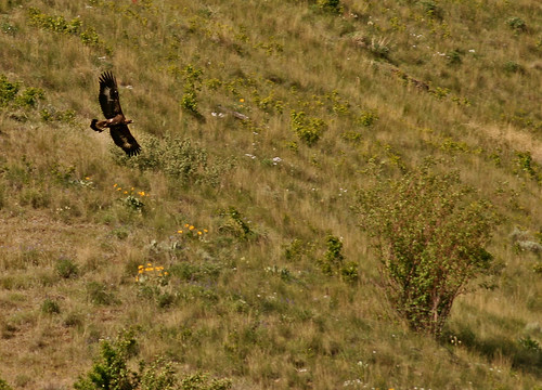
bird nature wildlife washingtonstate goldeneagle birdofprey easternwashington douglascounty aquilachrysaetos hwy97 experiencewa shesnuckinfuts wildlifeviewingarea may2009
Golden Eagle
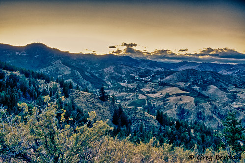
trees sky mountains sepia clouds forest vintage scenic hdr
View of Halverson Canyon
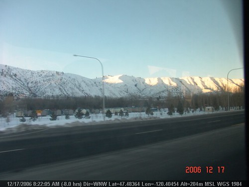
geotagged geodir2833 geolat474836666666667 geolon1204045
LV0844DSC00226.JPG
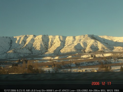
geotagged geodir3464 geolat474943333333333 geolon120420833333333
LV0850DSC00232.JPG
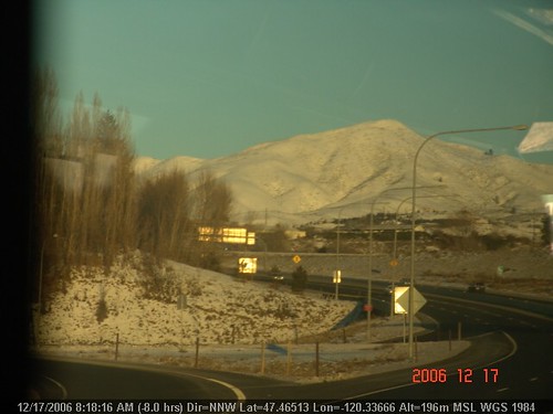
geotagged geodir327 geolon120336666666667 geolat474651666666667
LV0833DSC00215.JPG
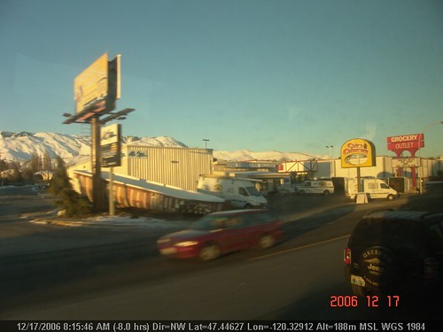
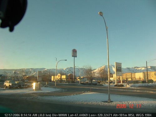
geotagged geodir3208 geolat474463333333333 geolon120329166666667
LV0822DSC00204.JPG
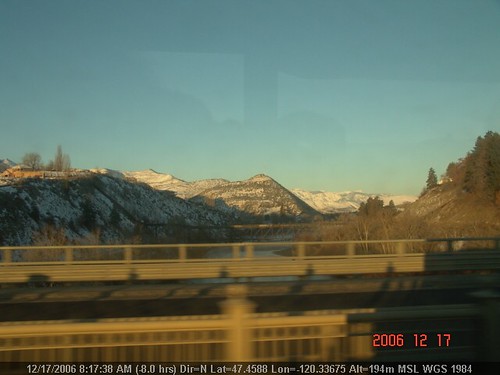
geotagged geodir109 geolat474588333333333 geolon120336666666667
LV0830DSC00212.JPG
geotagged geodir154 geolat474606666666667 geolon120336166666667
LV0832DSC00214.JPG
geotagged geodir302 geolat474866666666667 geolon120411666666667
LV0845DSC00227.JPG
geotagged geodir3211 geolat474506666666667 geolon120332833333333
LV0824DSC00206.JPG
geotagged geolat474911666666667 geolon1204185 geodir3124
LV0848DSC00230.JPG
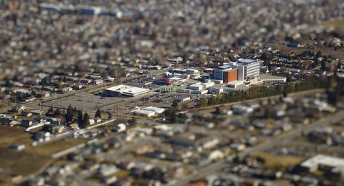
hospital wenatche tiltshift saddlerock cwh
CWH tilt
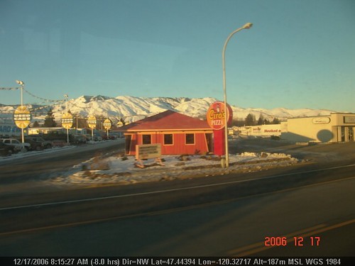
geotagged geolat47444 geolon120327166666667 geodir3194
LV0820DSC00202.JPG
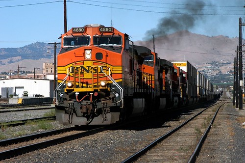
railroad washington wenatchee bnsf trailers containers railroads burlingtonnorthernsantafe crewchange wa2003sep
Eastbound at Wenatchee (1 of 3)
geotagged geolat474406666666667 geolon120324666666667 geodir2994
LV0815DSC00197.JPG
geotagged geodir1158 geolat474391666666667 geolon120323166666667
LV0755DSC00137.JPG
geotagged geolat47455 geolon1203365 geodir3376
LV0828DSC00210.JPG
geotagged geolat474391666666667 geolon120322833333333 geodir696
LV0762DSC00144.JPG
geotagged geodir3334 geolon120325666666667 geolat474421666666667
LV0818DSC00200.JPG
boundaries columbiariver dam electricity hydroelectricity hydropower knobs lawn rockyreachdam shadow summer turbine usa washington
Rocky Reach Dam, Washington
blue nikon landscape mountians wenatchee photography sky outdoors washington sadddlerock nature hiking fresh snow
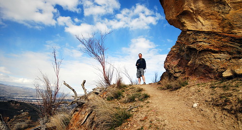
Hiking toward Saddle Rock
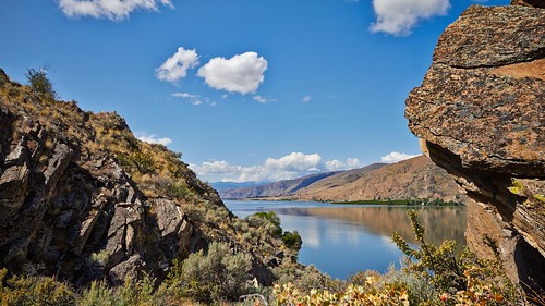
sky reflection water river
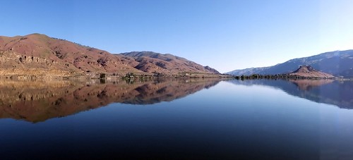
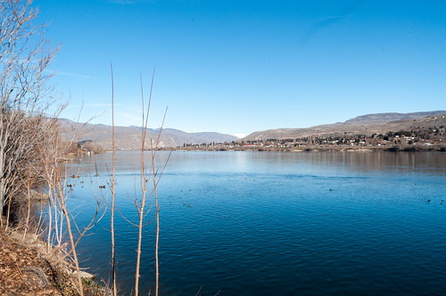
Columbia River Reflection
winter
Columbia River
pink white abstract flower leaves landscape 32 gladiolus ratio32
Pink Abstract 4
wood old landscape paint wa aged wenatchee peel 32 cracked ratio32 d5000
Splitting Peels
pink white abstract flower leaves landscape 32 gladiolus ratio32
Pink Abstract 3
sky me clouds walk hike wenatchee saddlerock drygulch
New Trail
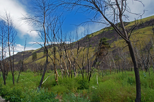
trees fire burn bark charred colockumtarpsfire2013
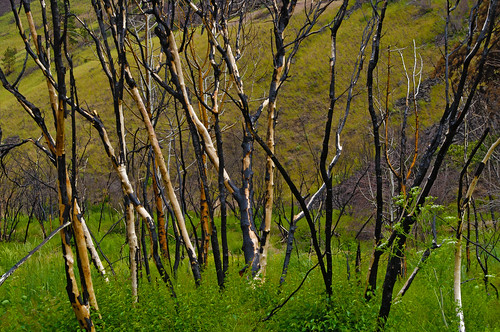
After The Fire 7
tumbleweed 2017 skitrip wenatchee easternwashington skiing orchard eastwenatchee pnw wenatcheeheights columbiariver missionridge washington unitedstates us
Tumbleweed Drive
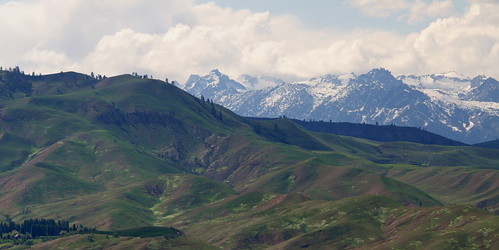
blue sky foothills snow mountains green clouds washington spring scenic growth wenatchee sagehills chelancounty enchantmentpeaks
Sage Hills & Enchantment Peaks
A little bit of everything....
Saddle Rock head on
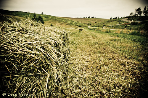
green grass yellow cloudy cut overcast dried hay vignette baled odc2
Between bales
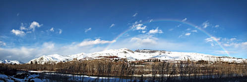
sky snow river rainbow january wenatchee coulds sleepyhollow
rb2-2
trees fire burn bark charred colockumtarpsfire2013
After The Fire 8
PIX-IMG_5375HDTV-Test-g
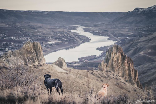
hiking scramble mountains wenatchee desert saddlerock 徒步 爬行 山 奧卡諾根韋納奇國家森林 國家森林 韋納奇 荒漠 馬鞍岩 primelens depthoffield 定焦鏡頭 景深 labrador yellowlab 拉布拉多 黃拉不拉多 黑拉不拉多 columbiariver 哥倫比亞河 nationalforest blacklab okanoganwenatcheenationalforest
You'll come back around