Elevation of Yubune- Ōkura, Iitate-mura, Sōma-gun, Fukushima-ken -, Japan
Location: Japan > Fukushima Prefecture > Soma District > Iitate >
Longitude: 140.79891
Latitude: 37.744133
Elevation: 233m / 764feet
Barometric Pressure: 99KPa
Elevation Map:
Satellite Map:
Related Photos:

筆甫の棚田

内川の渓谷

阿武隈山地の渓谷

松坂峠への道で

筆甫の田んぼ
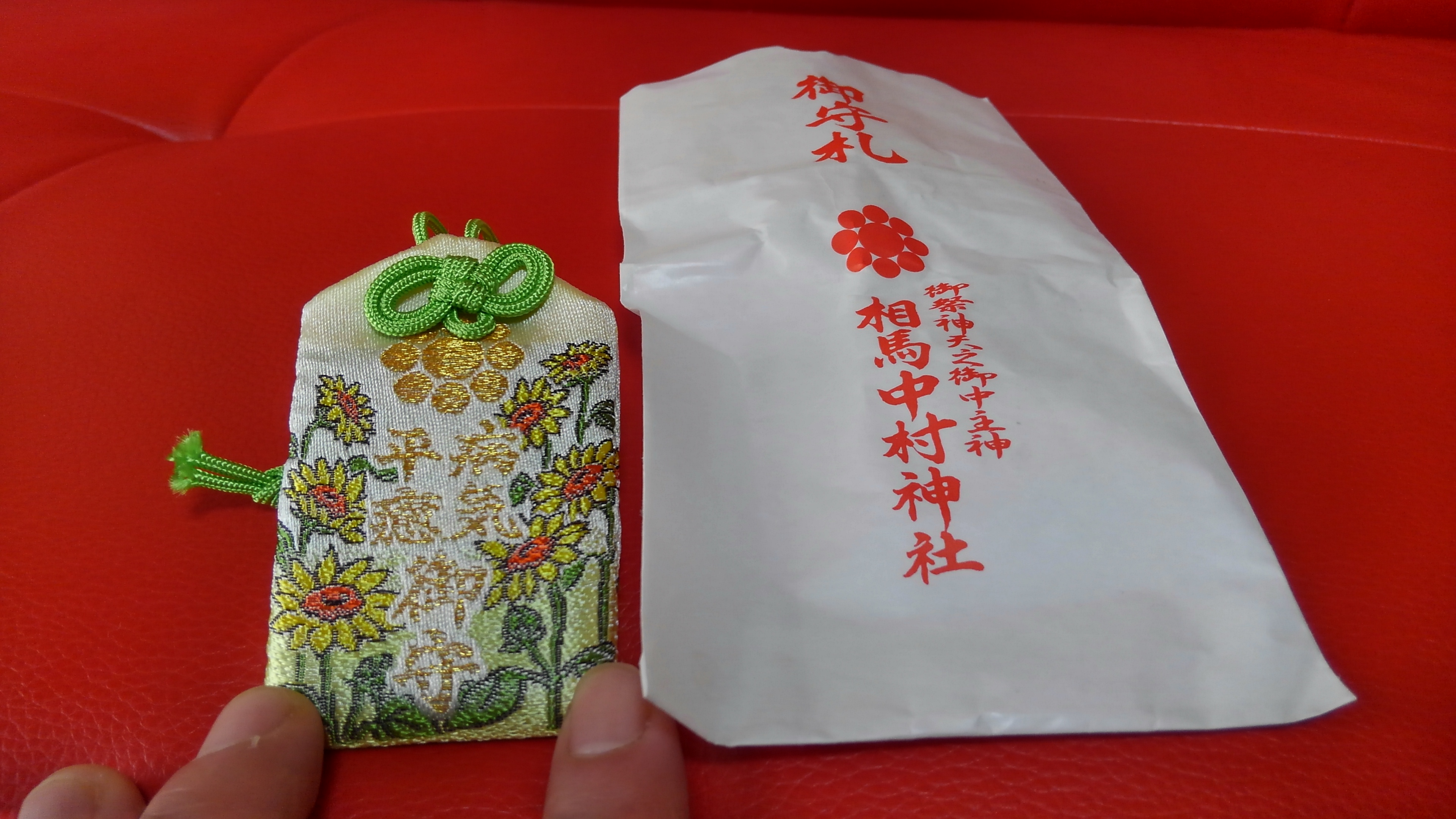
病気平癒御守
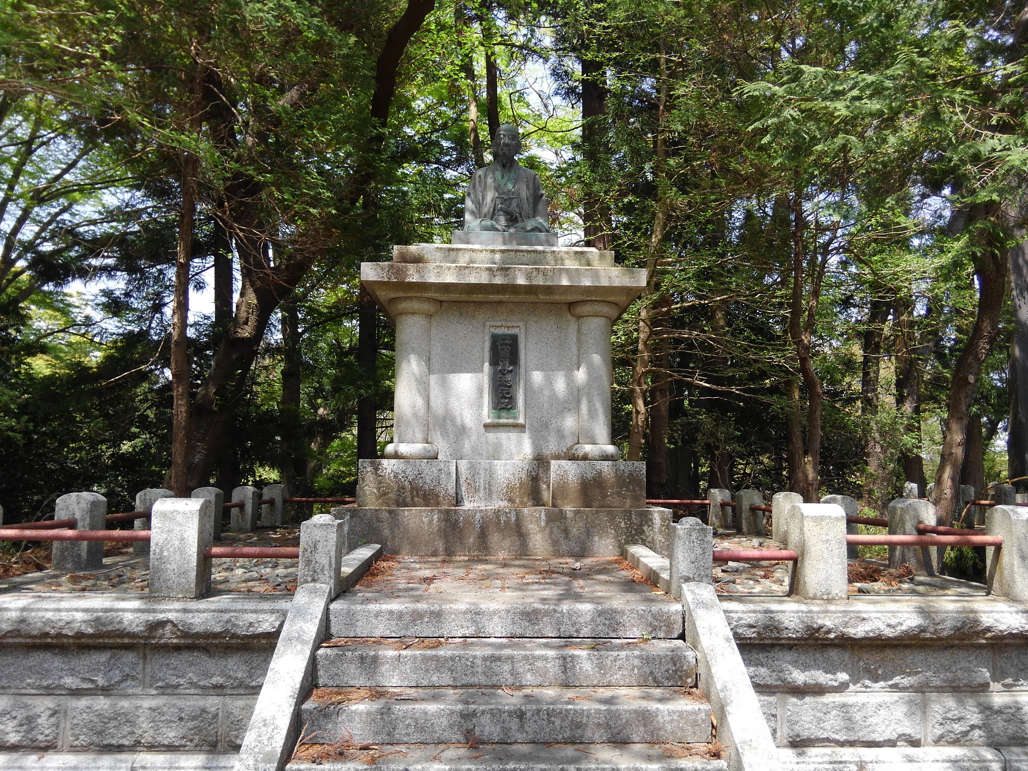
二宮尊徳先生
相馬中村神社
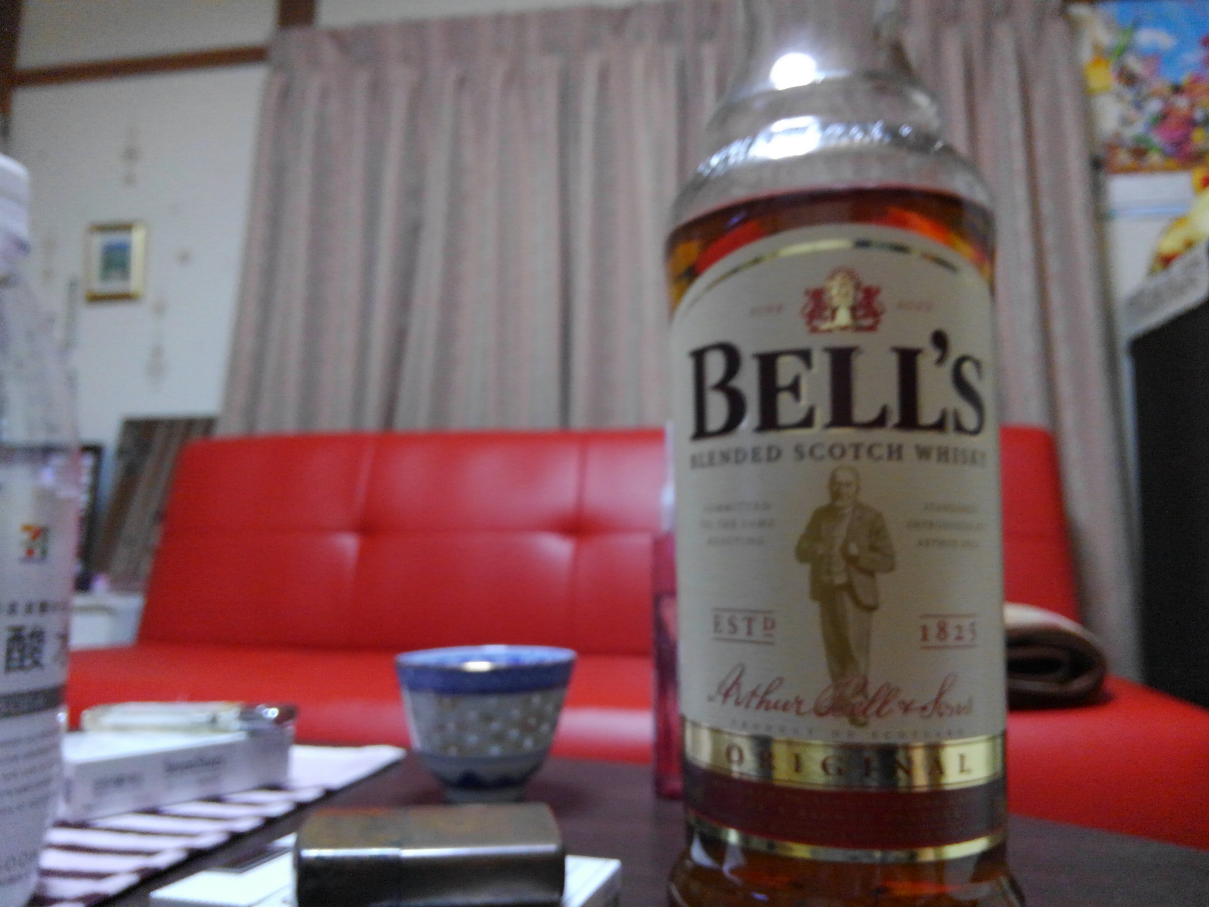
スコッチ

天ぷら蕎麦

相机胶卷-384
good morning
新鮮だねえ
ヒイカ
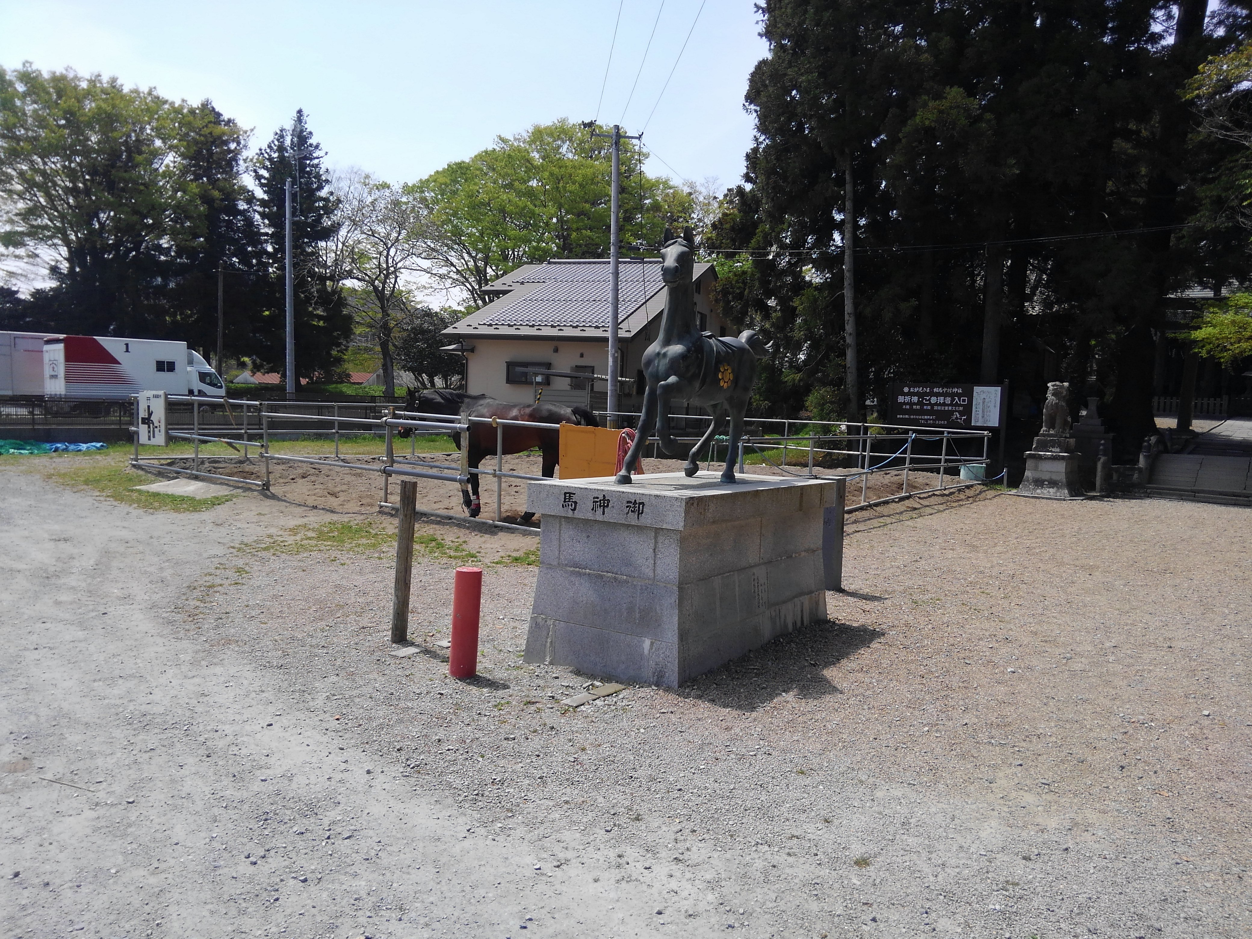
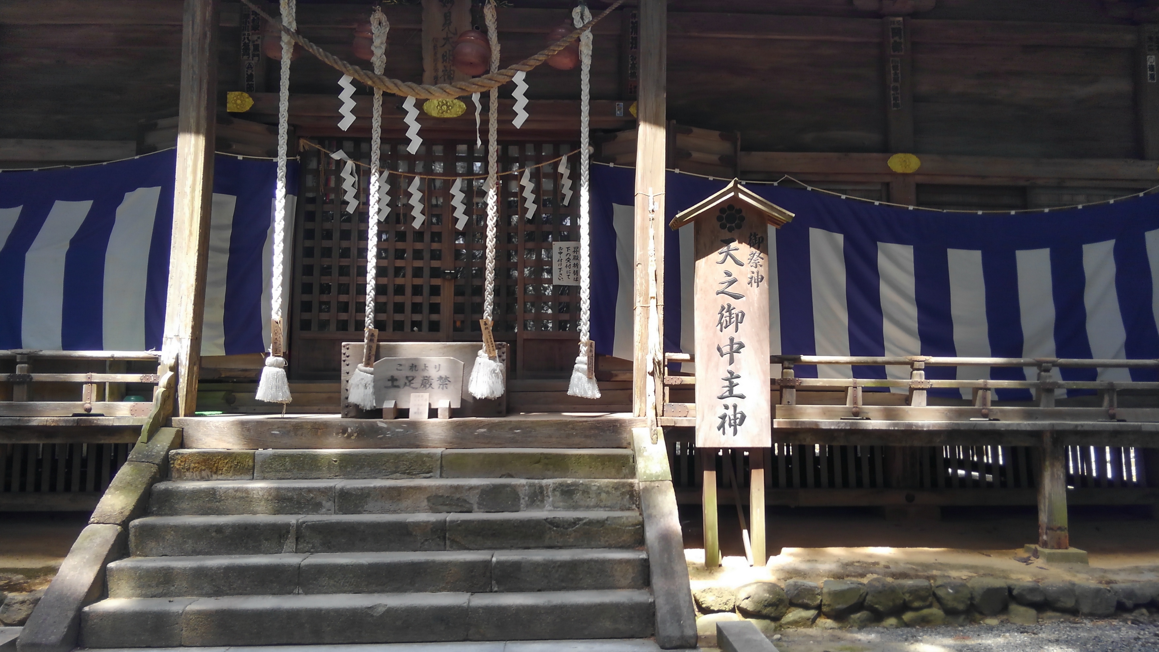
相馬神社
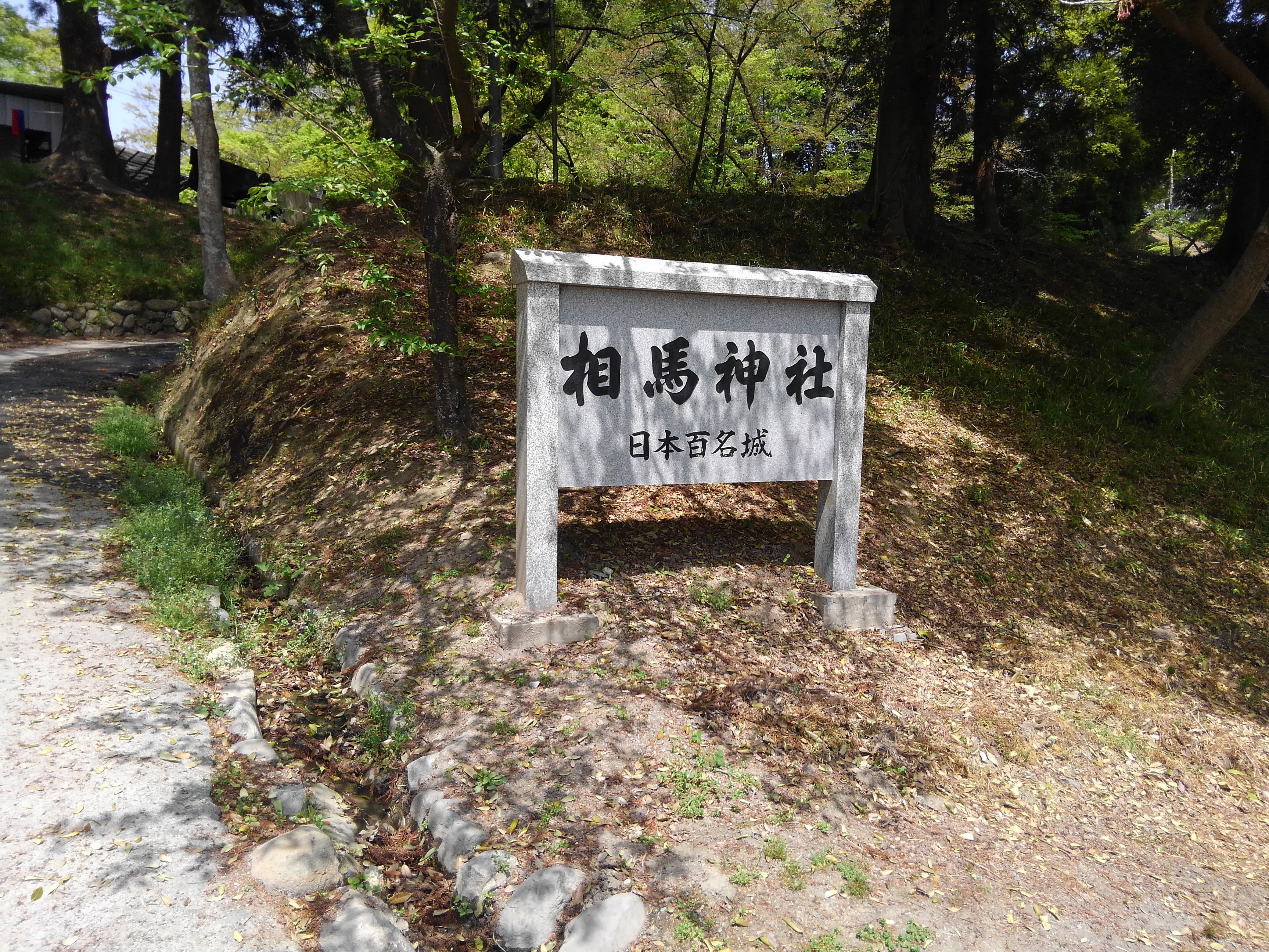
相馬神社
二礼二拍手一礼
相馬中村神社
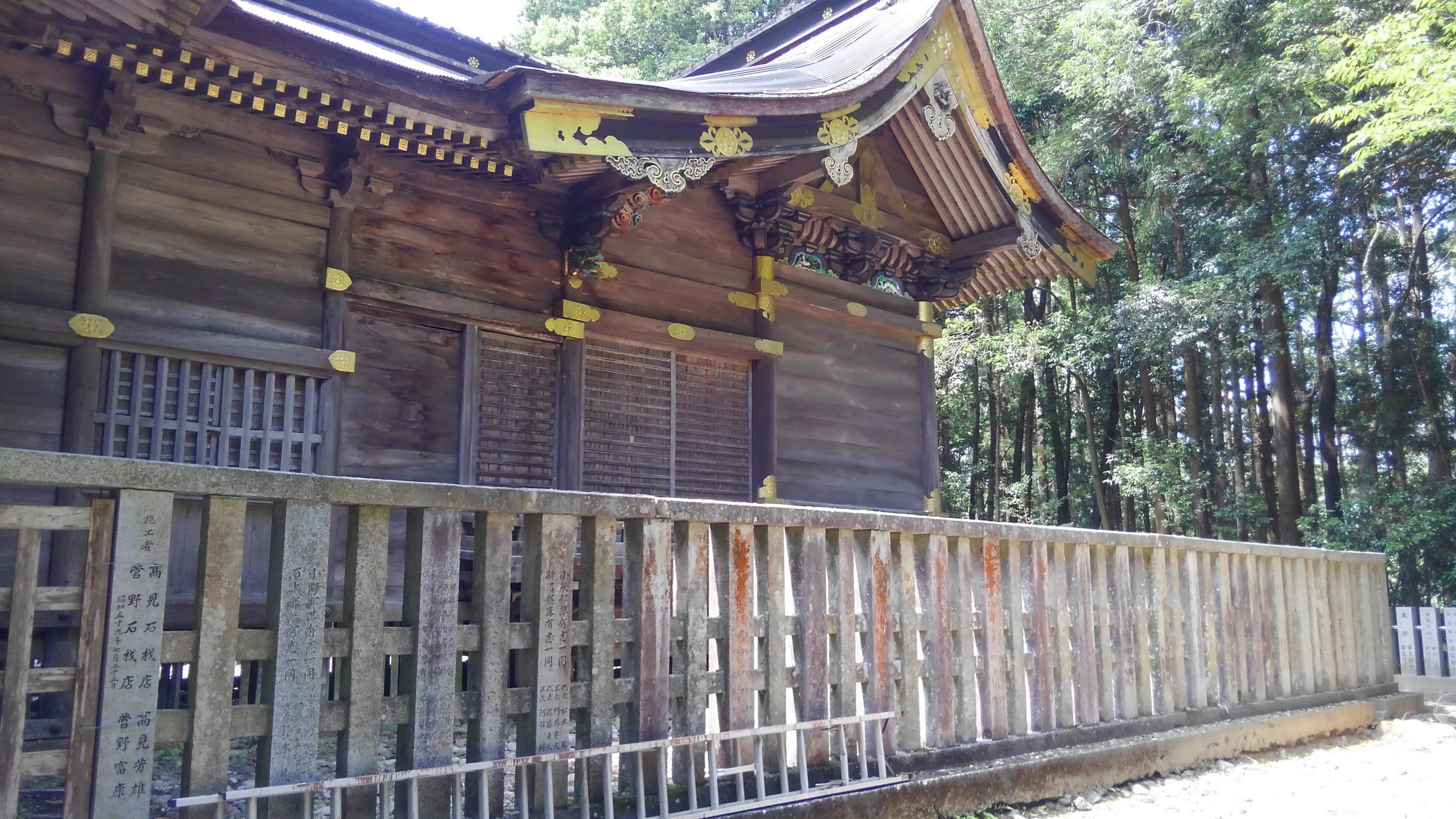
相馬中村神社

Soma station

Soma station

相馬駅
秋の日の午後

All Photos-1876
All Photos-1875

All Photos-1874
Topographic Map of Yubune- Ōkura, Iitate-mura, Sōma-gun, Fukushima-ken -, Japan
Find elevation by address:

Places near Yubune- Ōkura, Iitate-mura, Sōma-gun, Fukushima-ken -, Japan:
Kotogi- Ōkura, Iitate-mura, Sōma-gun, Fukushima-ken -, Japan
Soma District
Kamiyagisawa- Yagisawa, Iitate-mura, Sōma-gun, Fukushima-ken -, Japan
Shiragane-52 Ashihara, Iitate-mura, Sōma-gun, Fukushima-ken -, Japan
Numadaira-75 Komiya, Iitate-mura, Sōma-gun, Fukushima-ken -, Japan
Nagahashi-92 Fukaya, Iitate-mura, Sōma-gun, Fukushima-ken -, Japan
Toratori-20 Sasu, Iitate-mura, Sōma-gun, Fukushima-ken -, Japan
Iitate
Dobu-59 Imada, Sōma-shi, Fukushima-ken -, Japan
Kozuma-61 Matsuzuka, Iitate-mura, Sōma-gun, Fukushima-ken -, Japan
Natsui- Komiya, Iitate-mura, Sōma-gun, Fukushima-ken -, Japan
Minamizawa-63 Tomizawa, Sōma-shi, Fukushima-ken -, Japan
Goanzawa- Tsubota, Sōma-shi, Fukushima-ken -, Japan
Machi-4 Usuishi, Iitate-mura, Sōma-gun, Fukushima-ken -, Japan
Inada- Kashimaku Yamashita, Minamisōma-shi, Fukushima-ken -, Japan
Tokorokubo-10 Iitoi, Iitate-mura, Sōma-gun, Fukushima-ken -, Japan
Funabashi- Narita, Sōma-shi, Fukushima-ken -, Japan
Kamiukita- Kashimaku Ukita, Minamisōma-shi, Fukushima-ken -, Japan
Inarimae- Tachiya, Sōma-shi, Fukushima-ken -, Japan
Hiroyachi-75 Akagi, Sōma-shi, Fukushima-ken -, Japan
Recent Searches:
- Elevation of Crocker Dr, Vacaville, CA, USA
- Elevation of Pu Ngaol Community Meeting Hall, HWHM+3X7, Krong Saen Monourom, Cambodia
- Elevation of Royal Ontario Museum, Queens Park, Toronto, ON M5S 2C6, Canada
- Elevation of Groblershoop, South Africa
- Elevation of Power Generation Enterprises | Industrial Diesel Generators, Oak Ave, Canyon Country, CA, USA
- Elevation of Chesaw Rd, Oroville, WA, USA
- Elevation of N, Mt Pleasant, UT, USA
- Elevation of 6 Rue Jules Ferry, Beausoleil, France
- Elevation of Sattva Horizon, 4JC6+G9P, Vinayak Nagar, Kattigenahalli, Bengaluru, Karnataka, India
- Elevation of Great Brook Sports, Gold Star Hwy, Groton, CT, USA