Elevation of Inada- Kashimaku Yamashita, Minamisōma-shi, Fukushima-ken -, Japan
Location: Japan >
Longitude: 140.915784
Latitude: 37.7263307
Elevation: 30m / 98feet
Barometric Pressure: 101KPa
Elevation Map:
Satellite Map:
Related Photos:
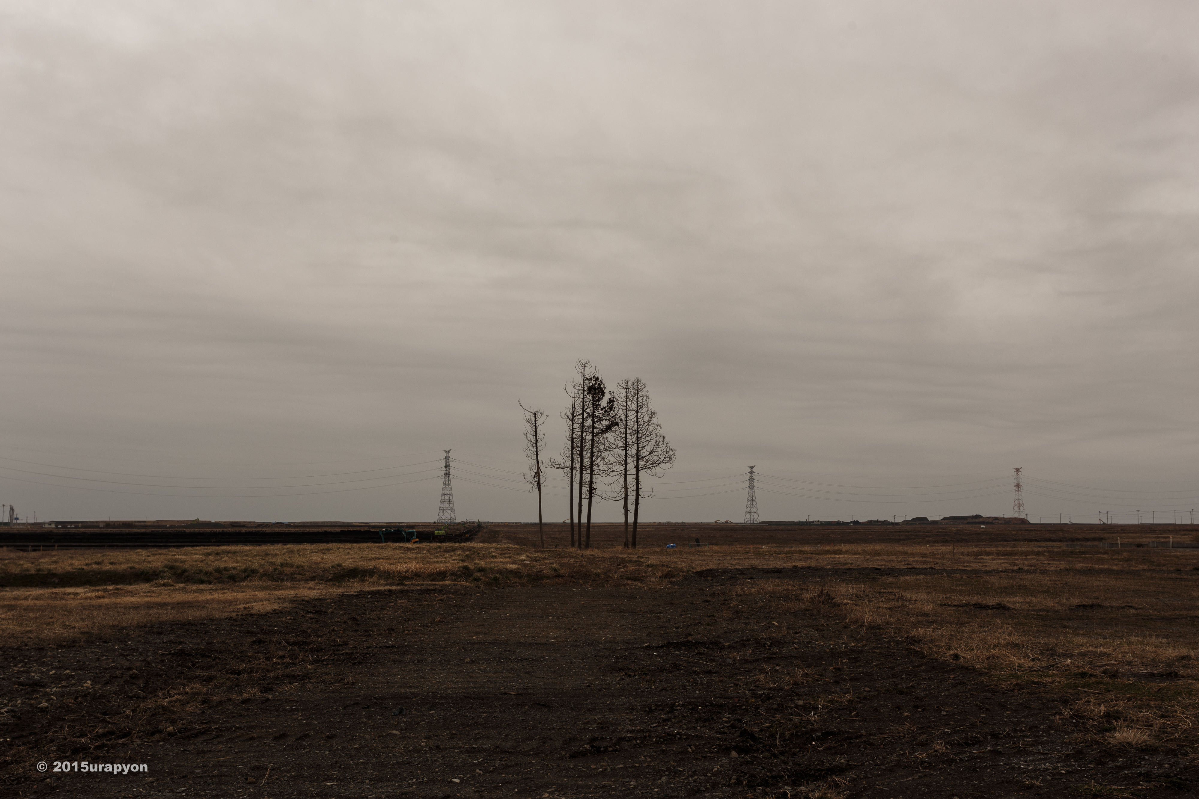
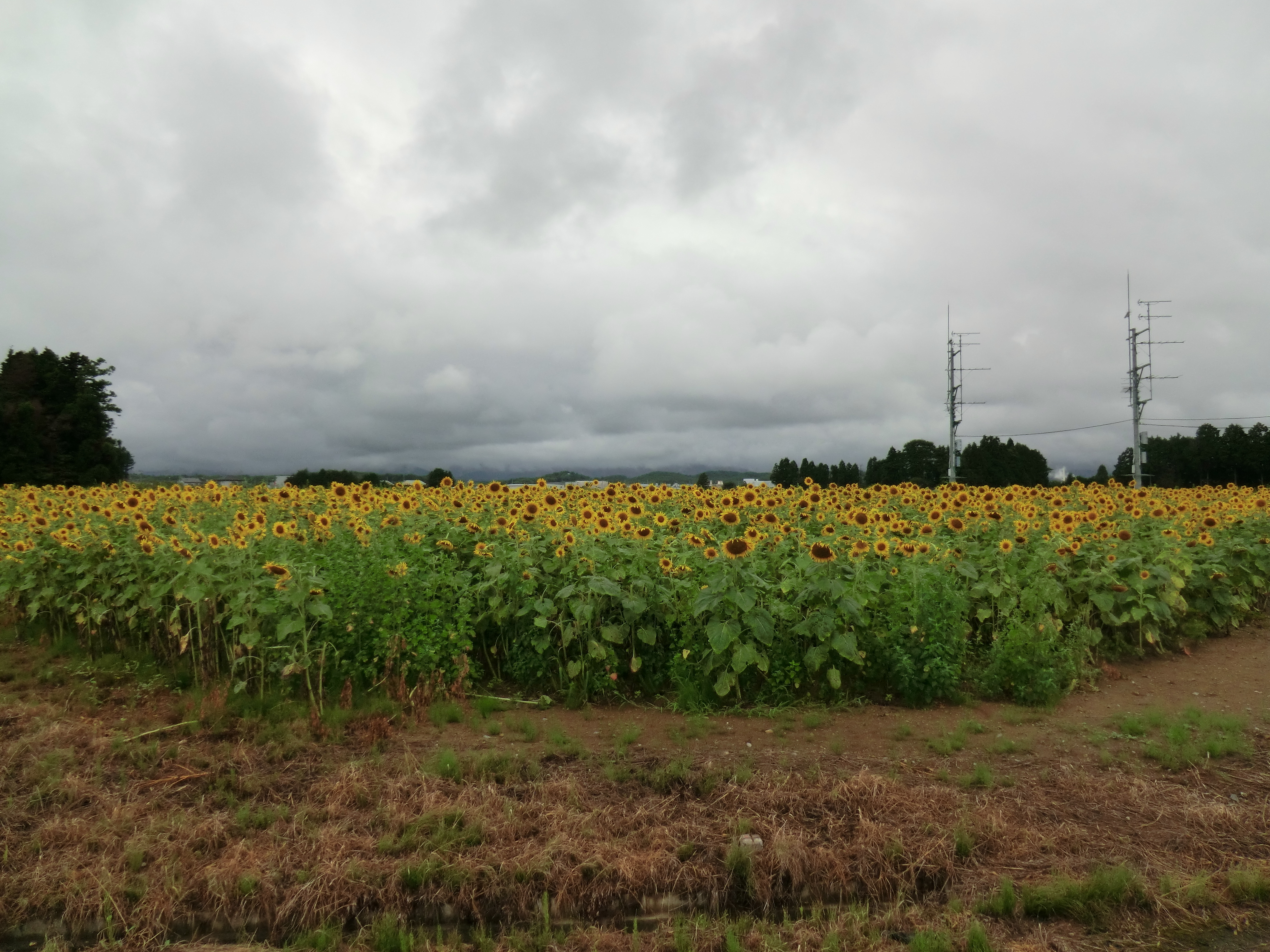
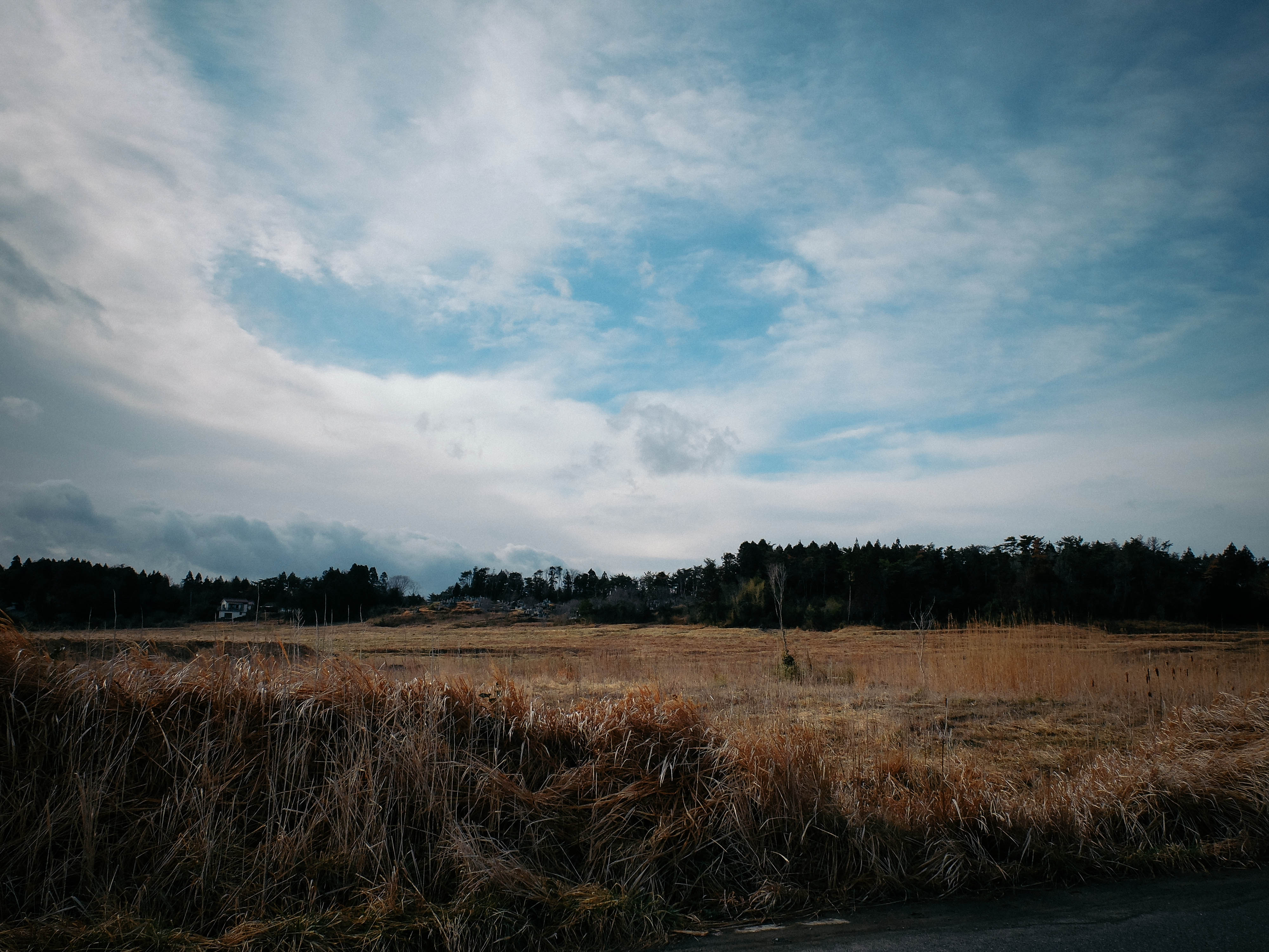
Minami Souma 南相馬市
CIMG1262.JPG
Day 310/365
CIMG1155.JPG

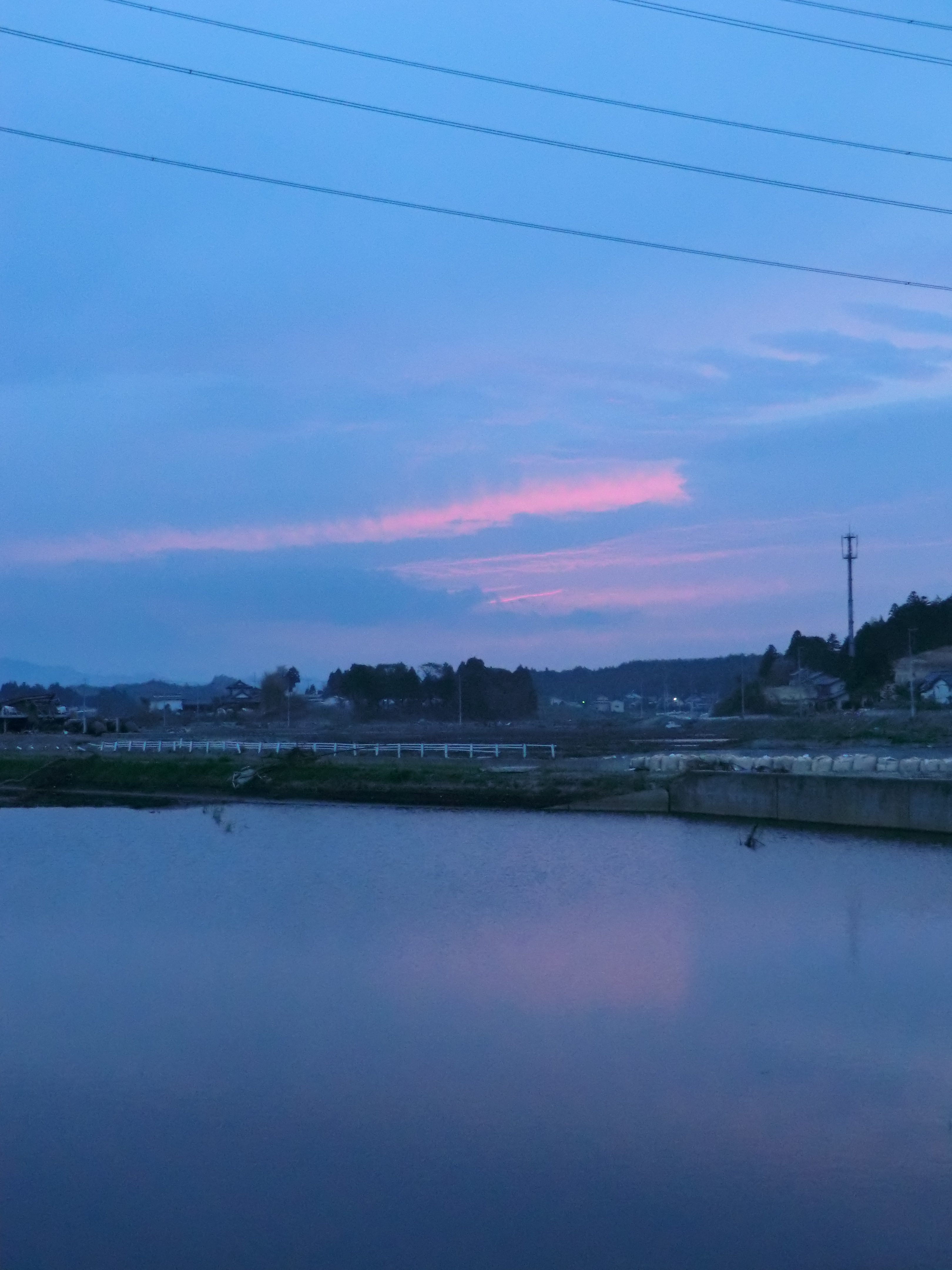
福島県 相馬市の海 震災前
CIMG0428.JPG
CIMG0429.JPG
CIMG0444.JPG
CIMG0970.JPG
CIMG0420.JPG
CIMG1122.JPG

CIMG0961.JPG
CIMG1133.JPG
CIMG0972.JPG
CIMG0962.JPG

CIMG1146.JPG

IMG_1024.JPG
CIMG0963.JPG
CIMG0951.JPG
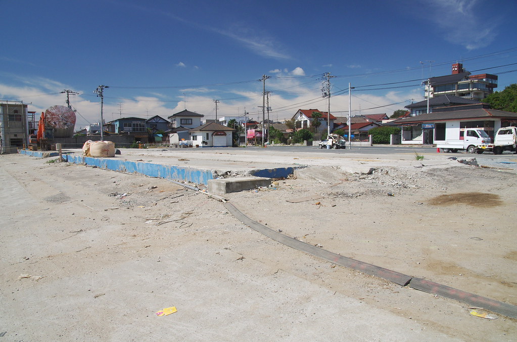
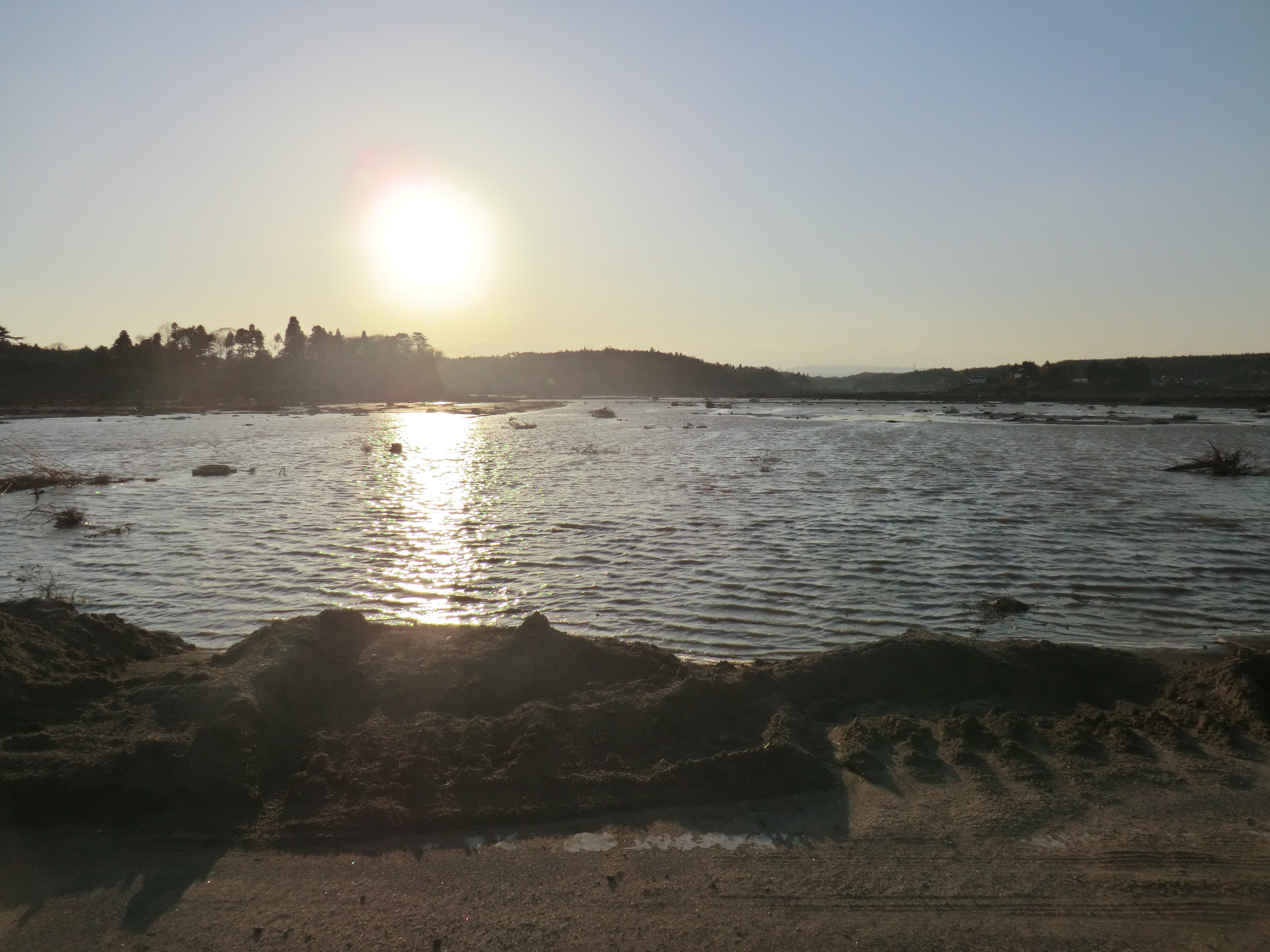
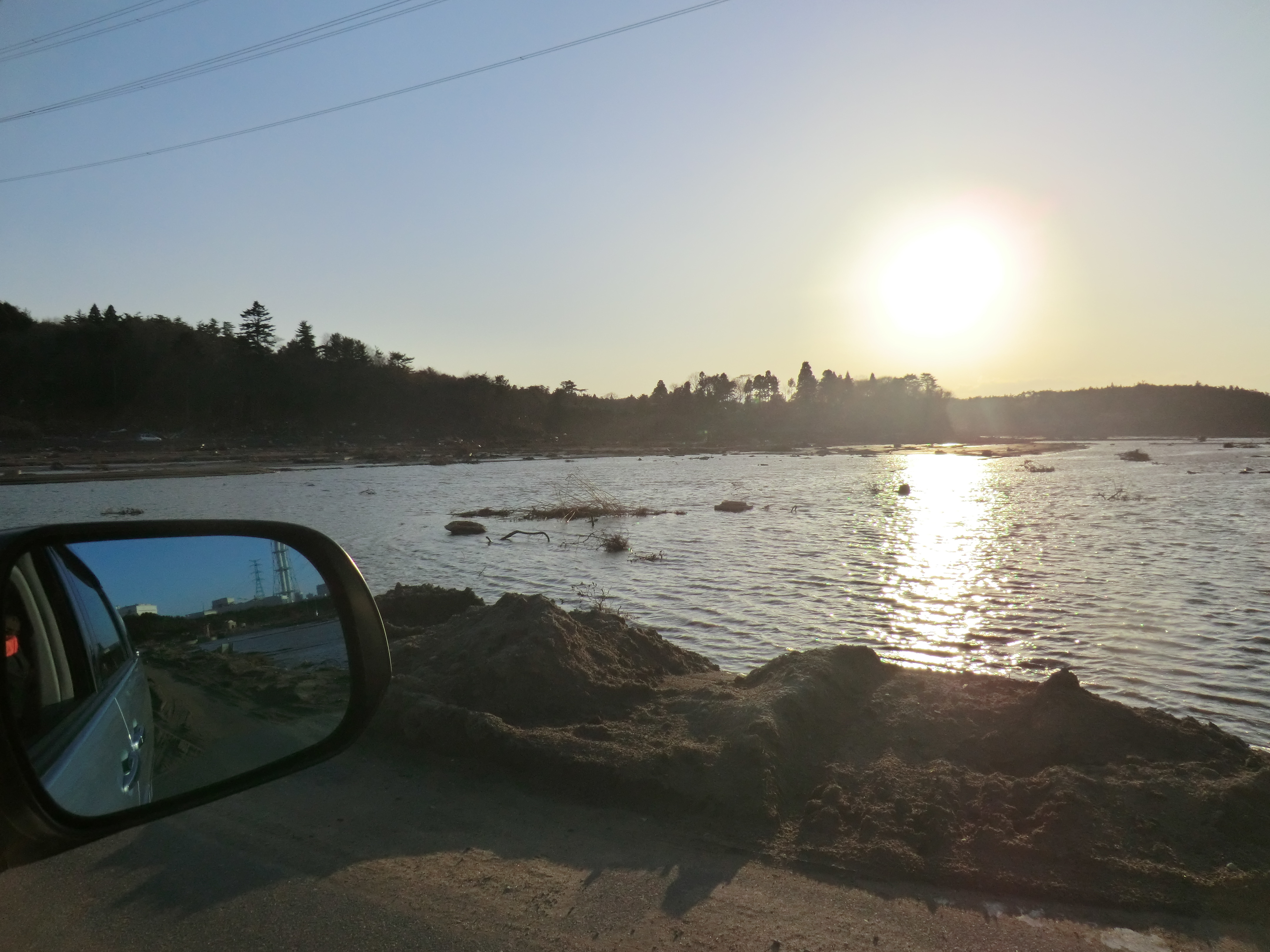
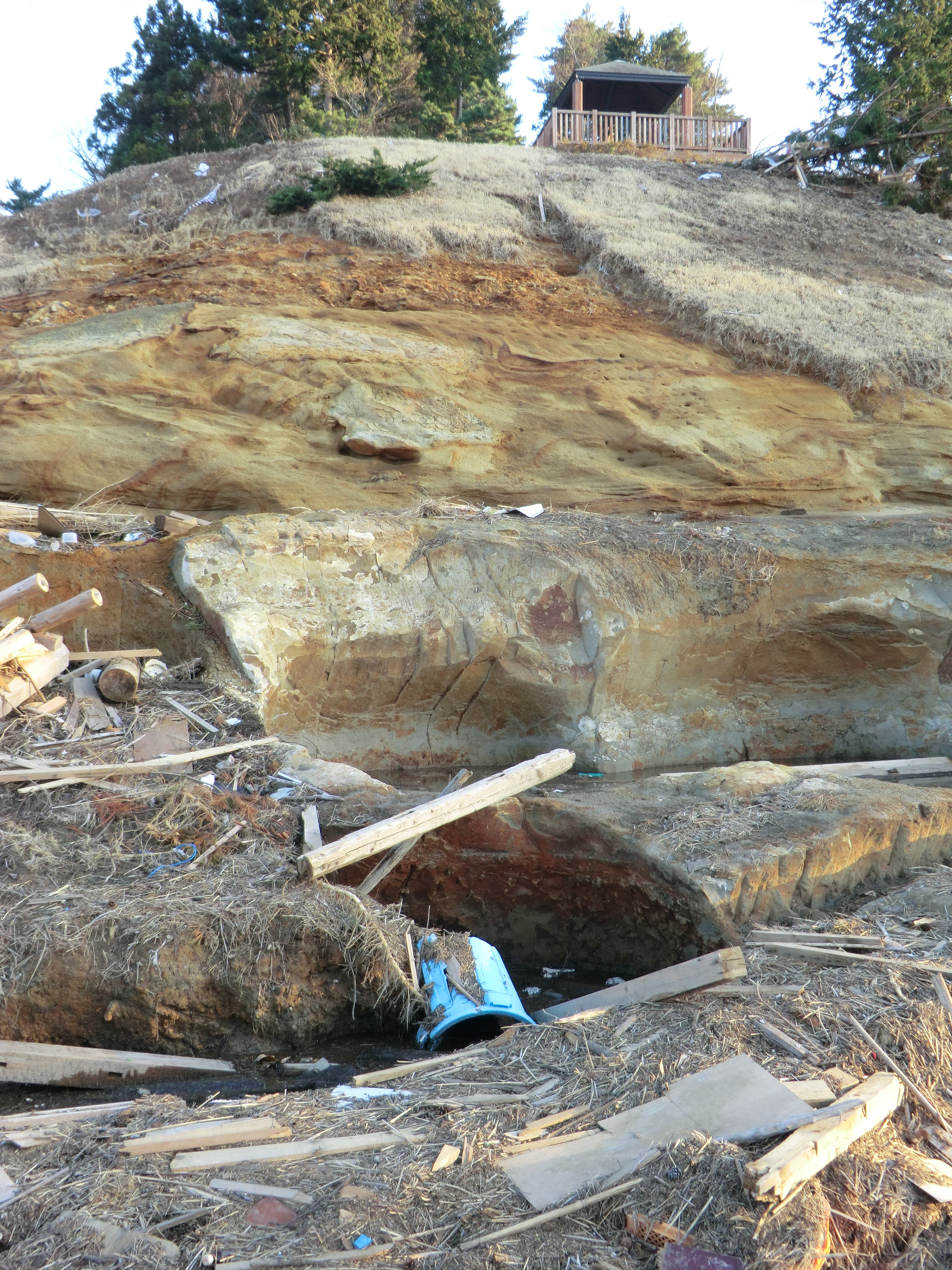
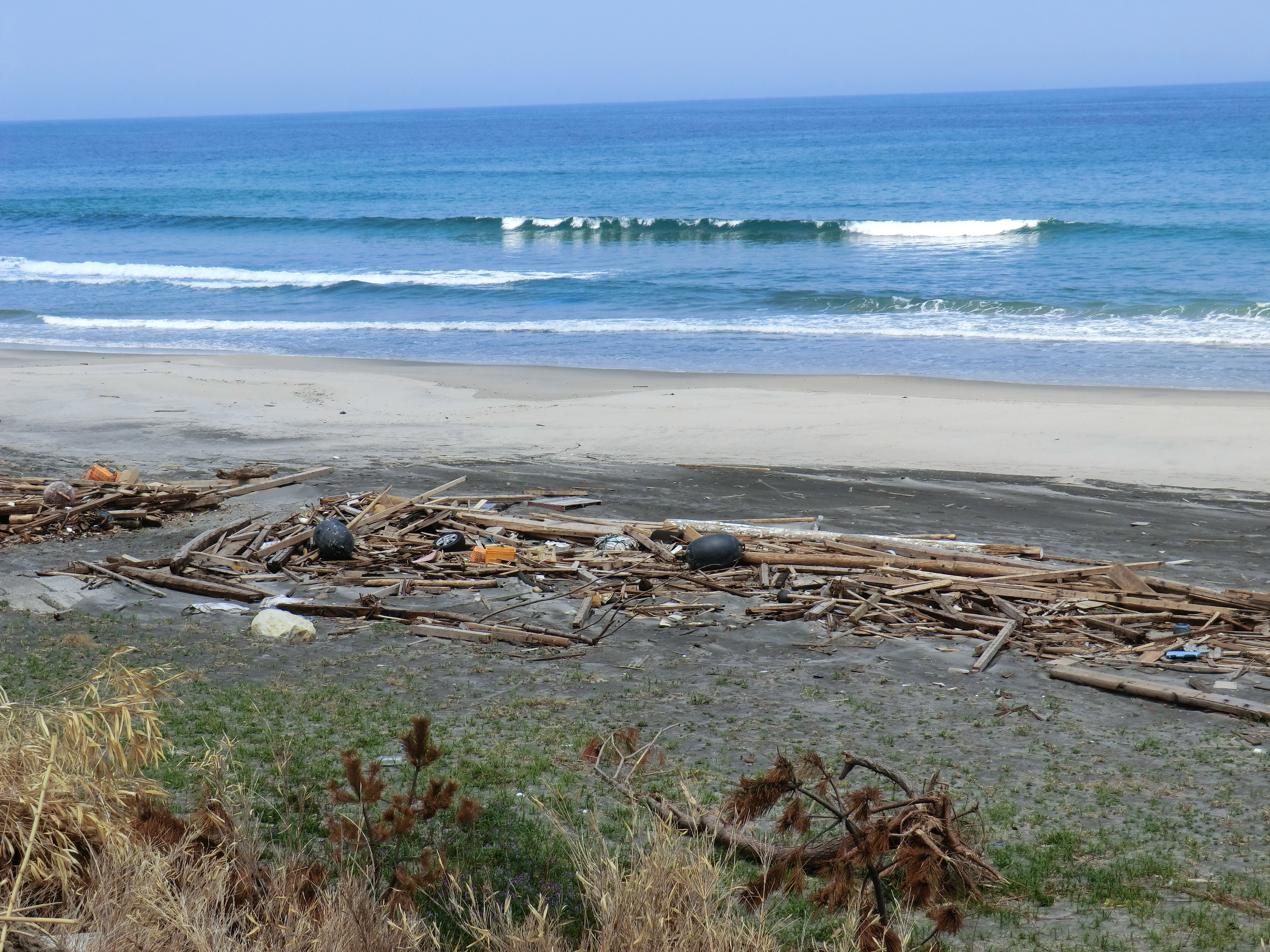
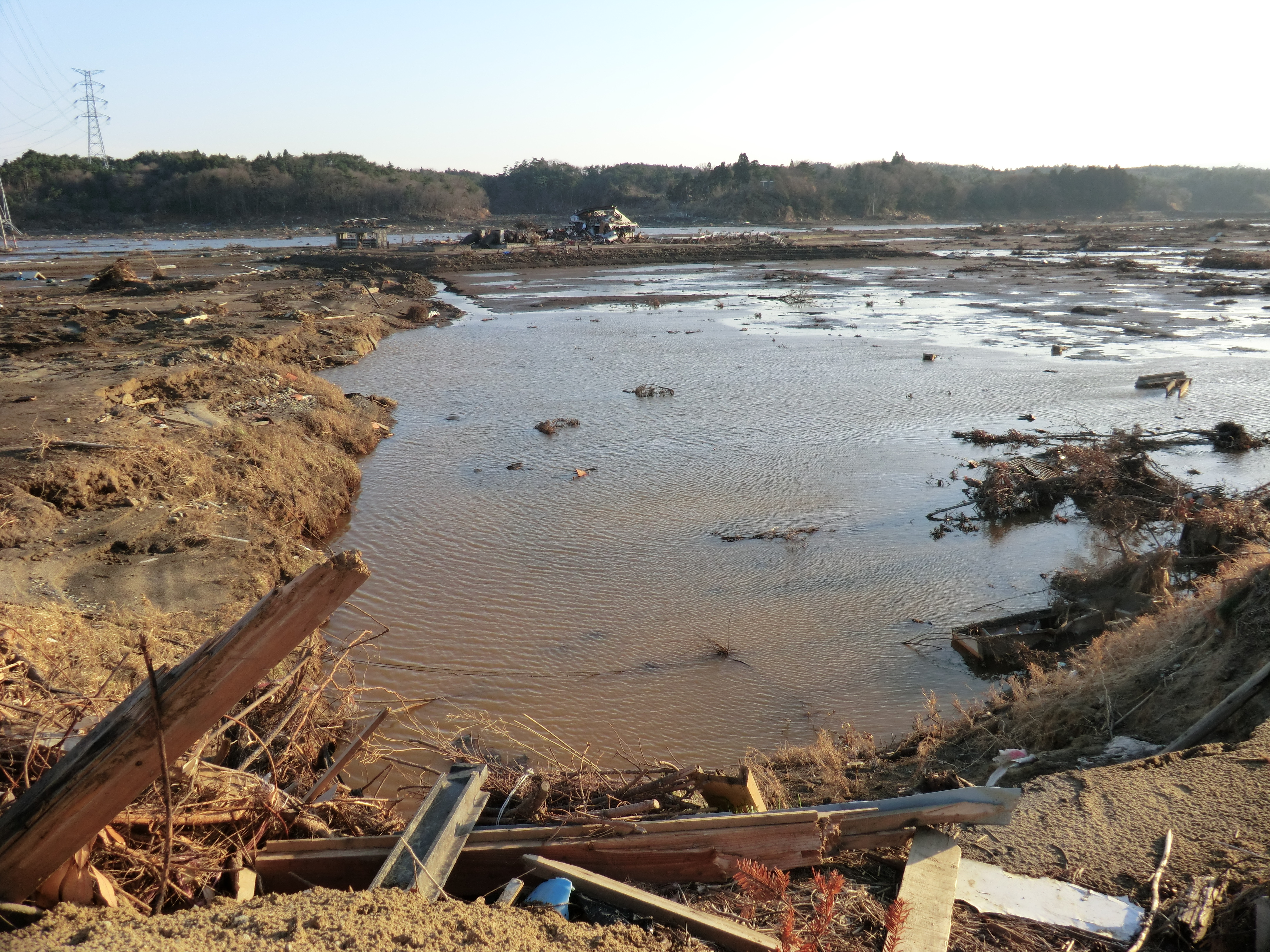
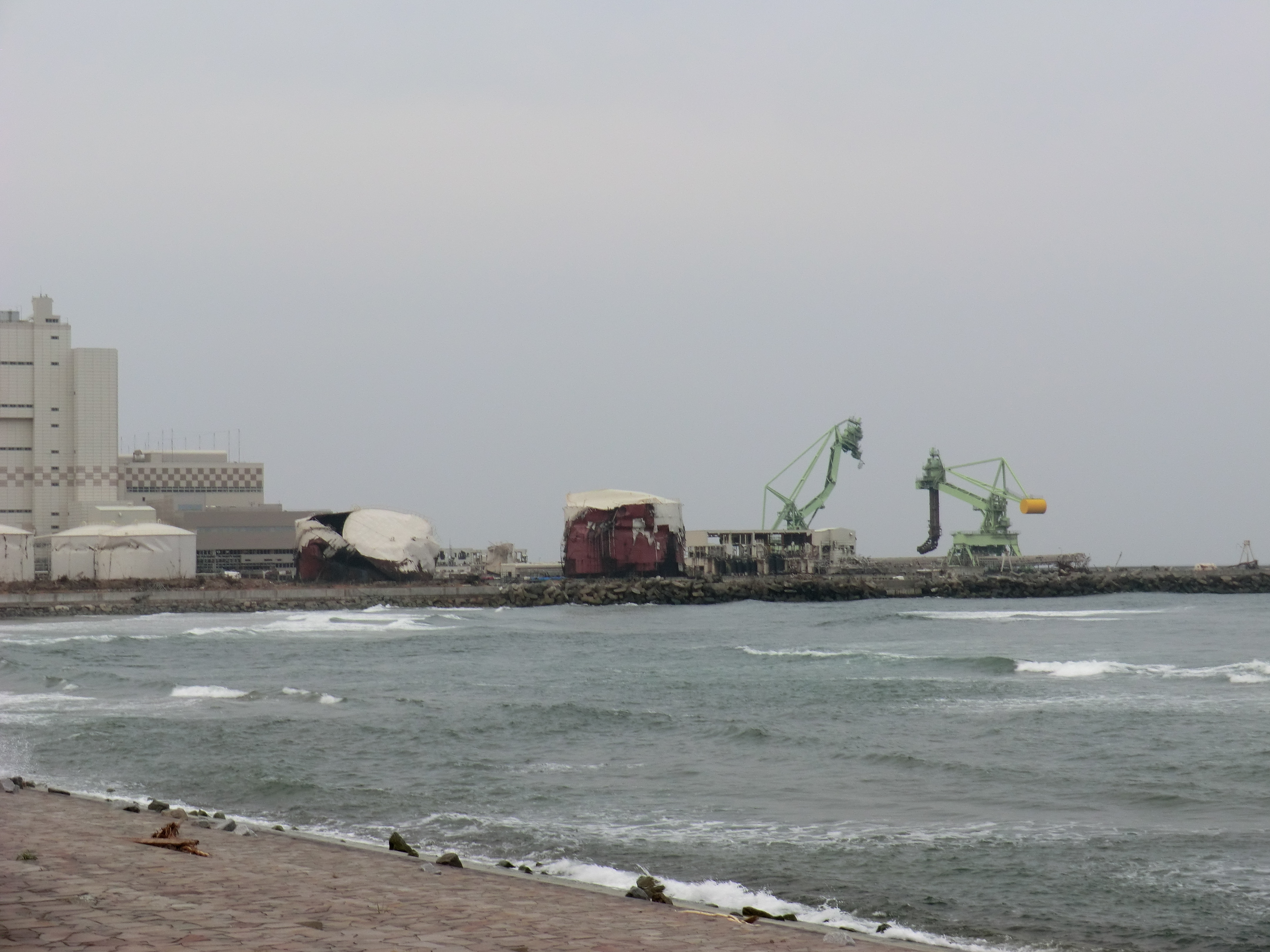
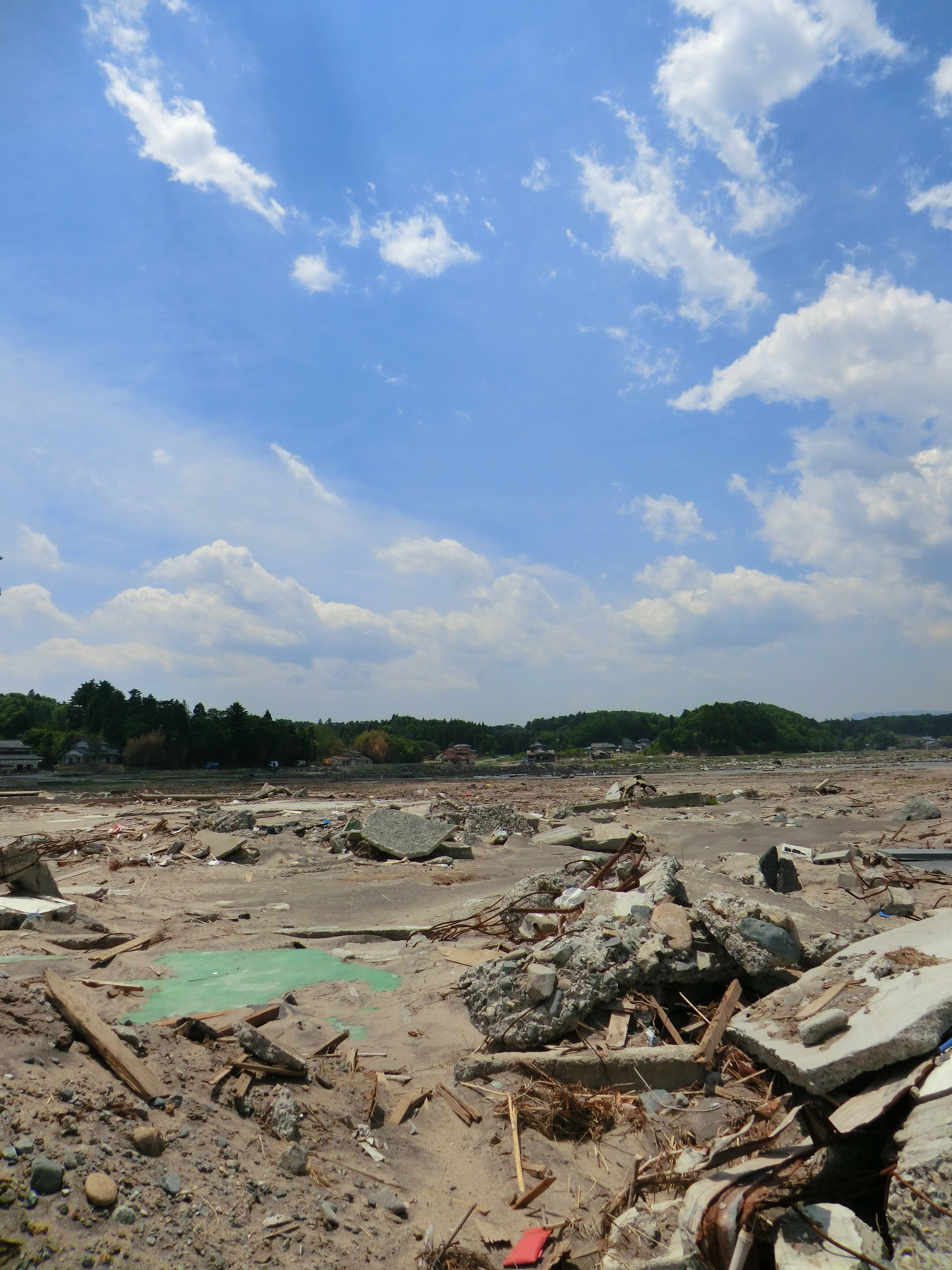
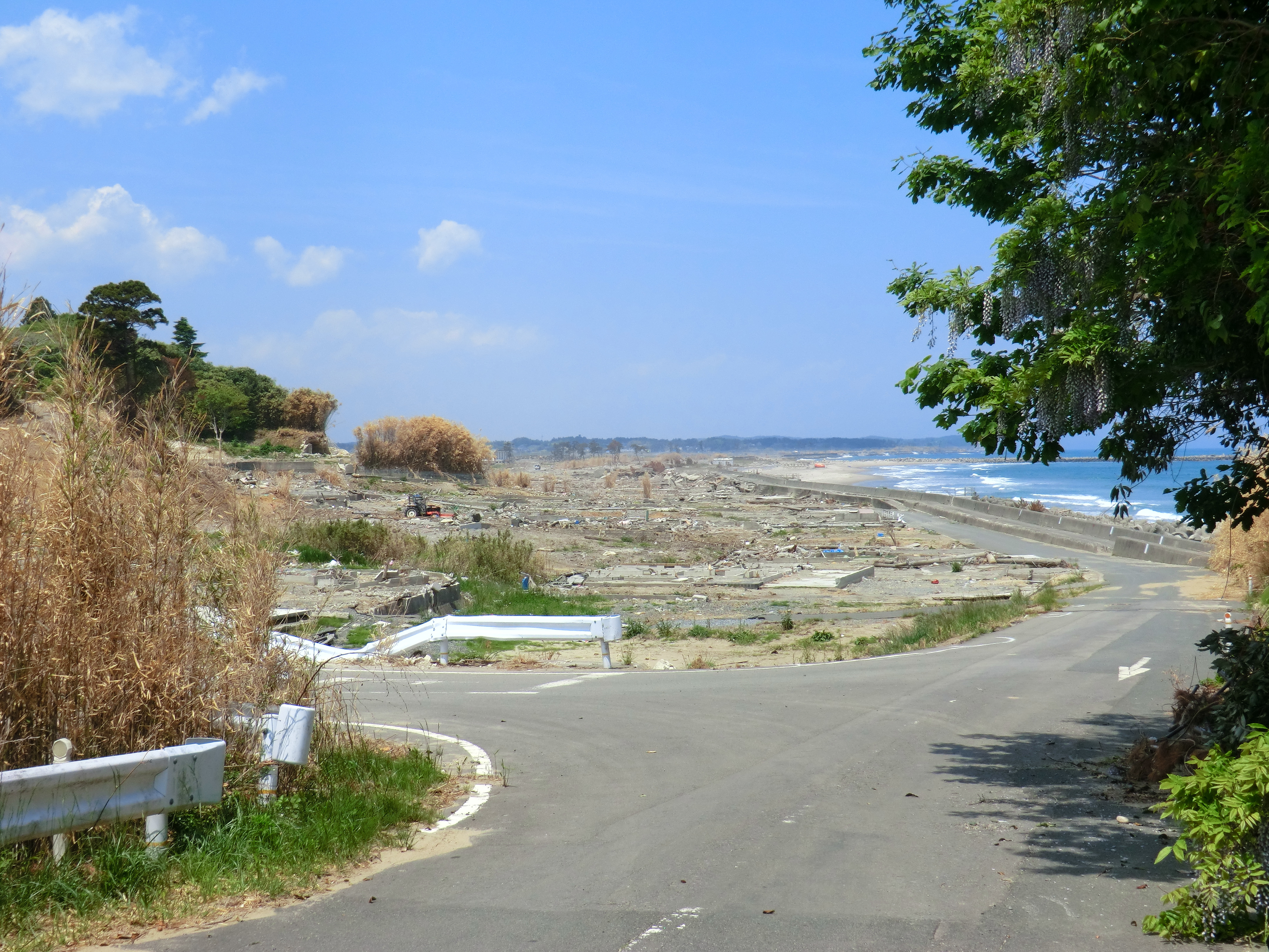
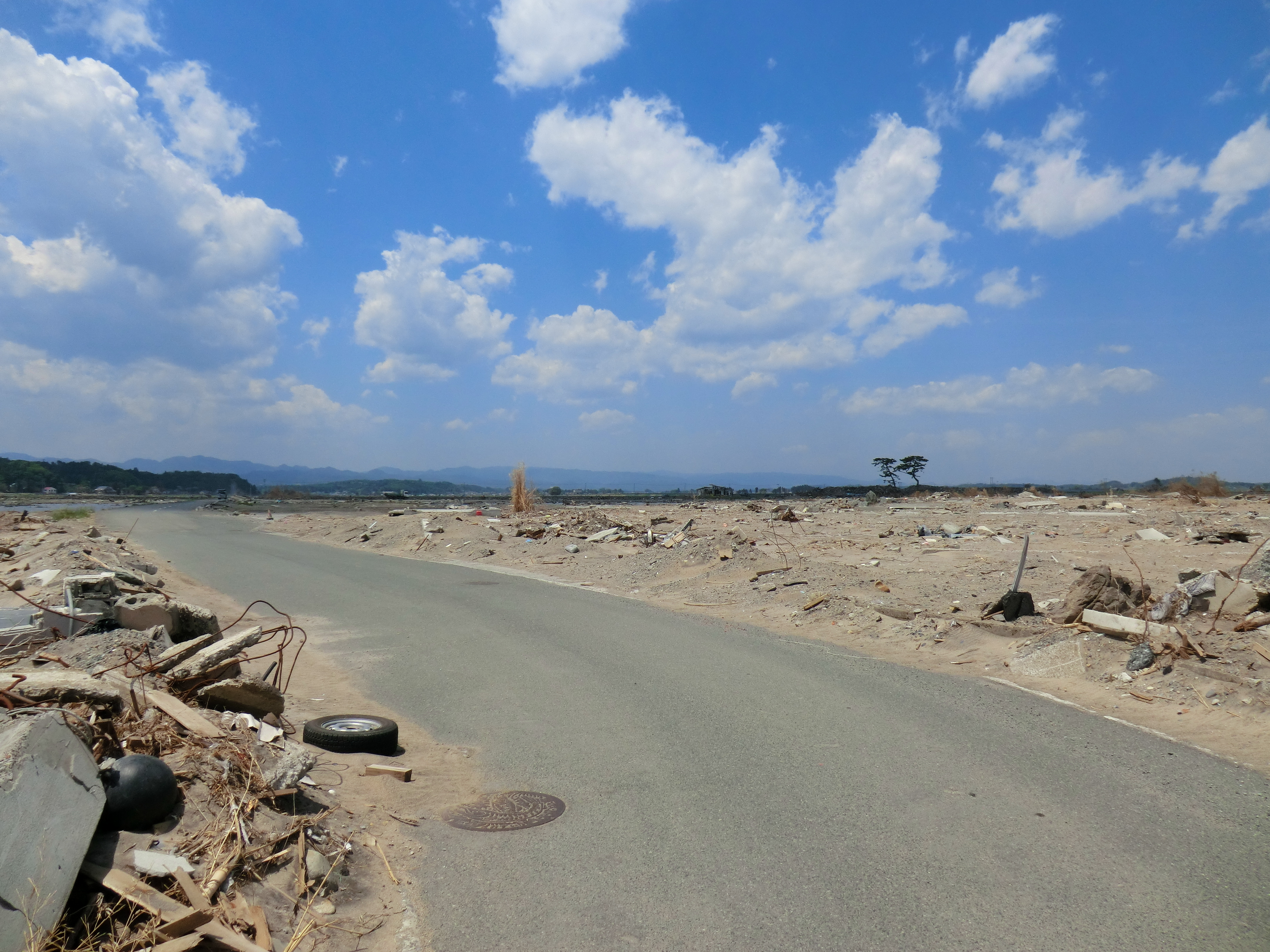
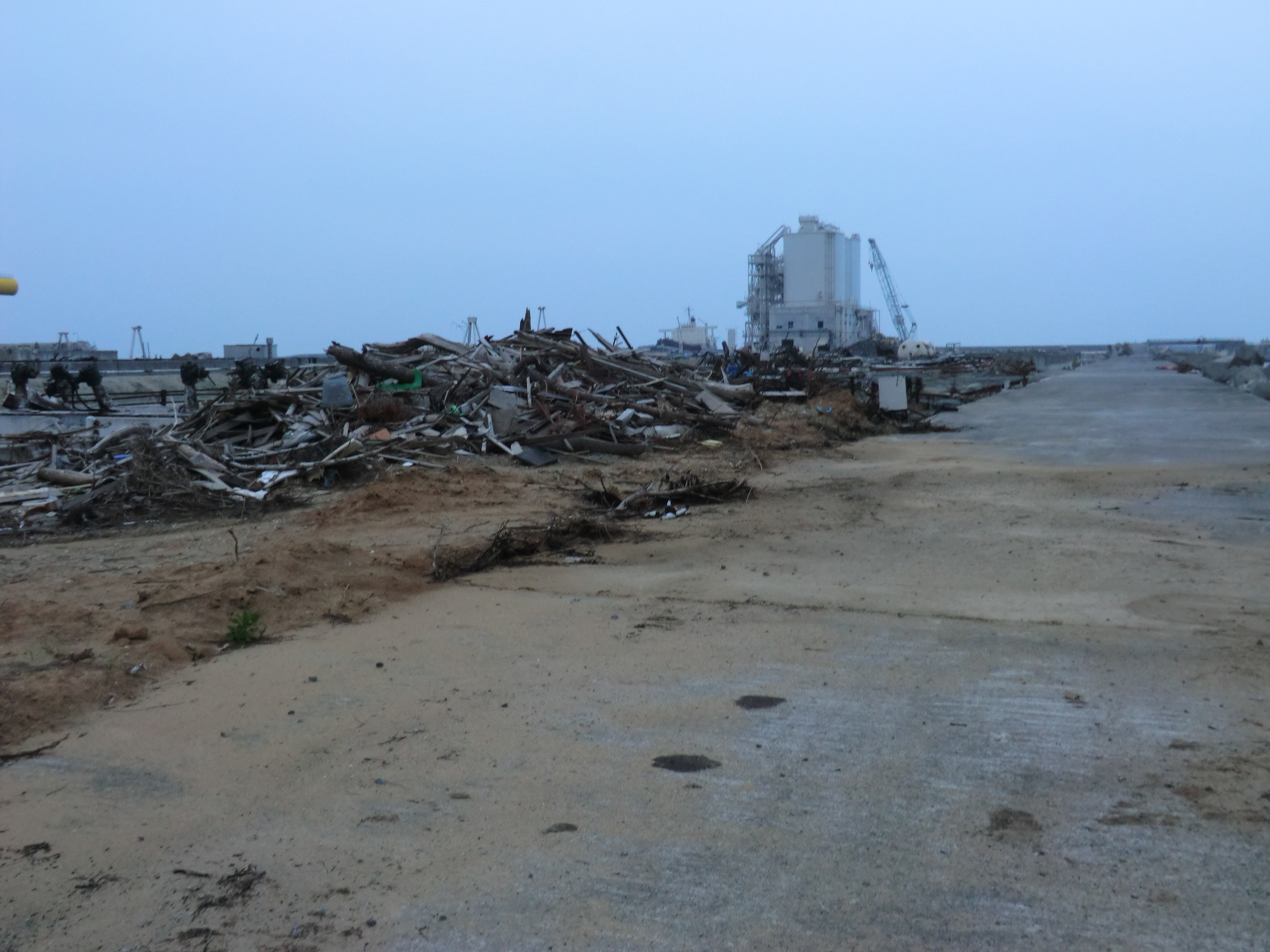
Damage of the tsunami in Sohma
CIMG1147.JPG
Topographic Map of Inada- Kashimaku Yamashita, Minamisōma-shi, Fukushima-ken -, Japan
Find elevation by address:

Places near Inada- Kashimaku Yamashita, Minamisōma-shi, Fukushima-ken -, Japan:
Kamiukita- Kashimaku Ukita, Minamisōma-shi, Fukushima-ken -, Japan
Minamizawa-63 Tomizawa, Sōma-shi, Fukushima-ken -, Japan
Hiroyachi-75 Akagi, Sōma-shi, Fukushima-ken -, Japan
Toriida-28 Kashimaku Okawada, Minamisōma-shi, Fukushima-ken -, Japan
Goanzawa- Tsubota, Sōma-shi, Fukushima-ken -, Japan
Nishinagawatari- Kashimaku Nagawatari, Minamisōma-shi, Fukushima-ken -, Japan
Inarimae- Tachiya, Sōma-shi, Fukushima-ken -, Japan
Nagata- Kashimaku Nagata, Minamisōma-shi, Fukushima-ken -, Japan
Takanosu-63 Kashimaku Terauchi, Minamisōma-shi, Fukushima-ken -, Japan
Dobu-59 Imada, Sōma-shi, Fukushima-ken -, Japan
Kamiasada-42 Kashimaku Minamiyunuki, Minamisōma-shi, Fukushima-ken -, Japan
Funabashi- Narita, Sōma-shi, Fukushima-ken -, Japan
Maehata-56 Kashimaku Minamiyakata, Minamisōma-shi, Fukushima-ken -, Japan
Iwaanamae--12 Babano, Sōma-shi, Fukushima-ken -, Japan
Kitakuwabara-37 Yunuki, Sōma-shi, Fukushima-ken -, Japan
31 Kashimaku Asahi
フォレストガーデン柾
Minamisonegi-1 Kashimaku Shionosaki, Minamisōma-shi, Fukushima-ken -, Japan
Kozutsumi- Hodota, Sōma-shi, Fukushima-ken -, Japan
Nakadai- Kashiwazaki, Sōma-shi, Fukushima-ken -, Japan
Recent Searches:
- Elevation of Jalan Senandin, Lutong, Miri, Sarawak, Malaysia
- Elevation of Bilohirs'k
- Elevation of 30 Oak Lawn Dr, Barkhamsted, CT, USA
- Elevation of Luther Road, Luther Rd, Auburn, CA, USA
- Elevation of Unnamed Road, Respublika Severnaya Osetiya — Alaniya, Russia
- Elevation of Verkhny Fiagdon, North Ossetia–Alania Republic, Russia
- Elevation of F. Viola Hiway, San Rafael, Bulacan, Philippines
- Elevation of Herbage Dr, Gulfport, MS, USA
- Elevation of Lilac Cir, Haldimand, ON N3W 2G9, Canada
- Elevation of Harrod Branch Road, Harrod Branch Rd, Kentucky, USA