Elevation of Kamiyagisawa- Yagisawa, Iitate-mura, Sōma-gun, Fukushima-ken -, Japan
Location: Japan > Fukushima Prefecture > Soma District > Iitate >
Longitude: 140.803908
Latitude: 37.6862194
Elevation: 512m / 1680feet
Barometric Pressure: 95KPa
Elevation Map:
Satellite Map:
Related Photos:
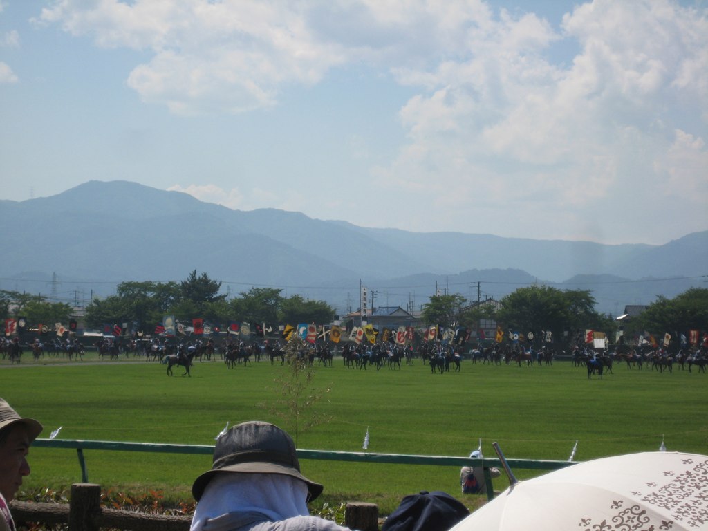
Mock Battle 2
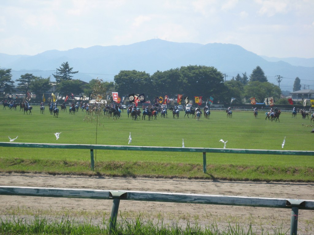
Mock Battle 4
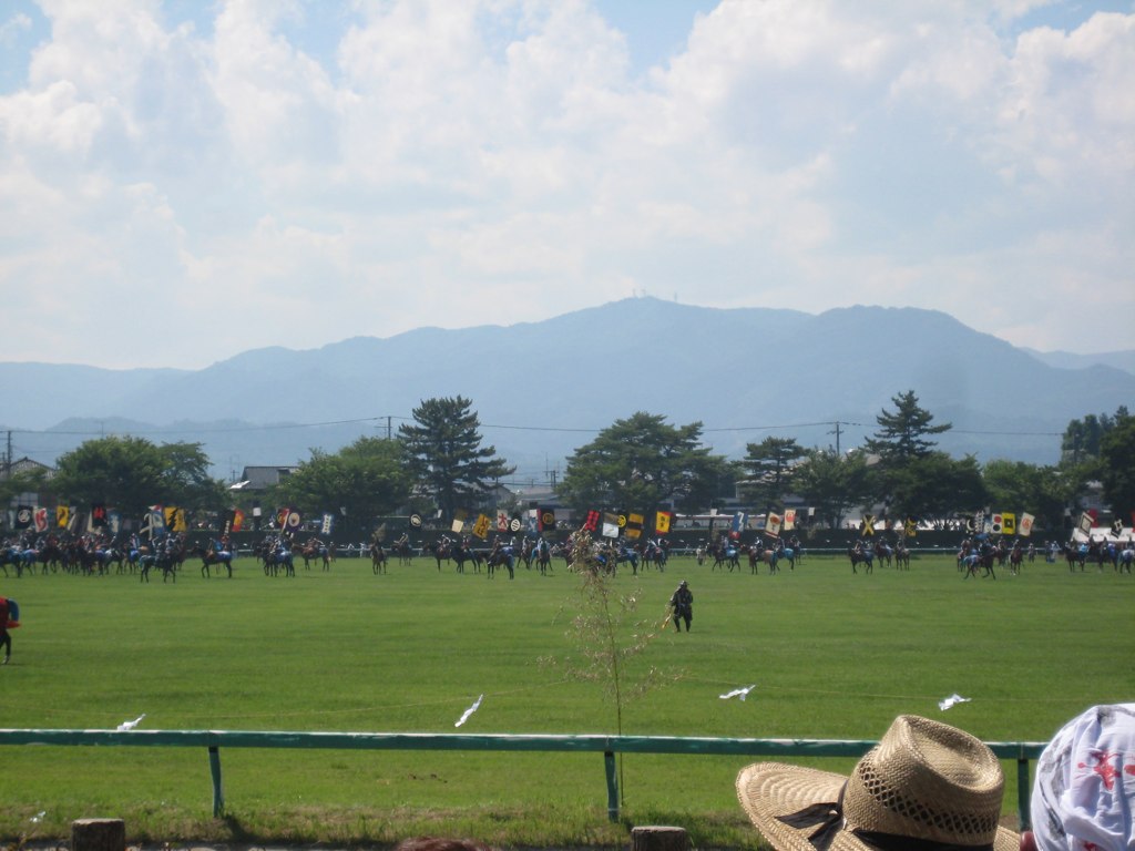
Mock Battle 1

On the road again in #Fukushima, enjoying beautiful rice fields landscapes. #japan
S O M A
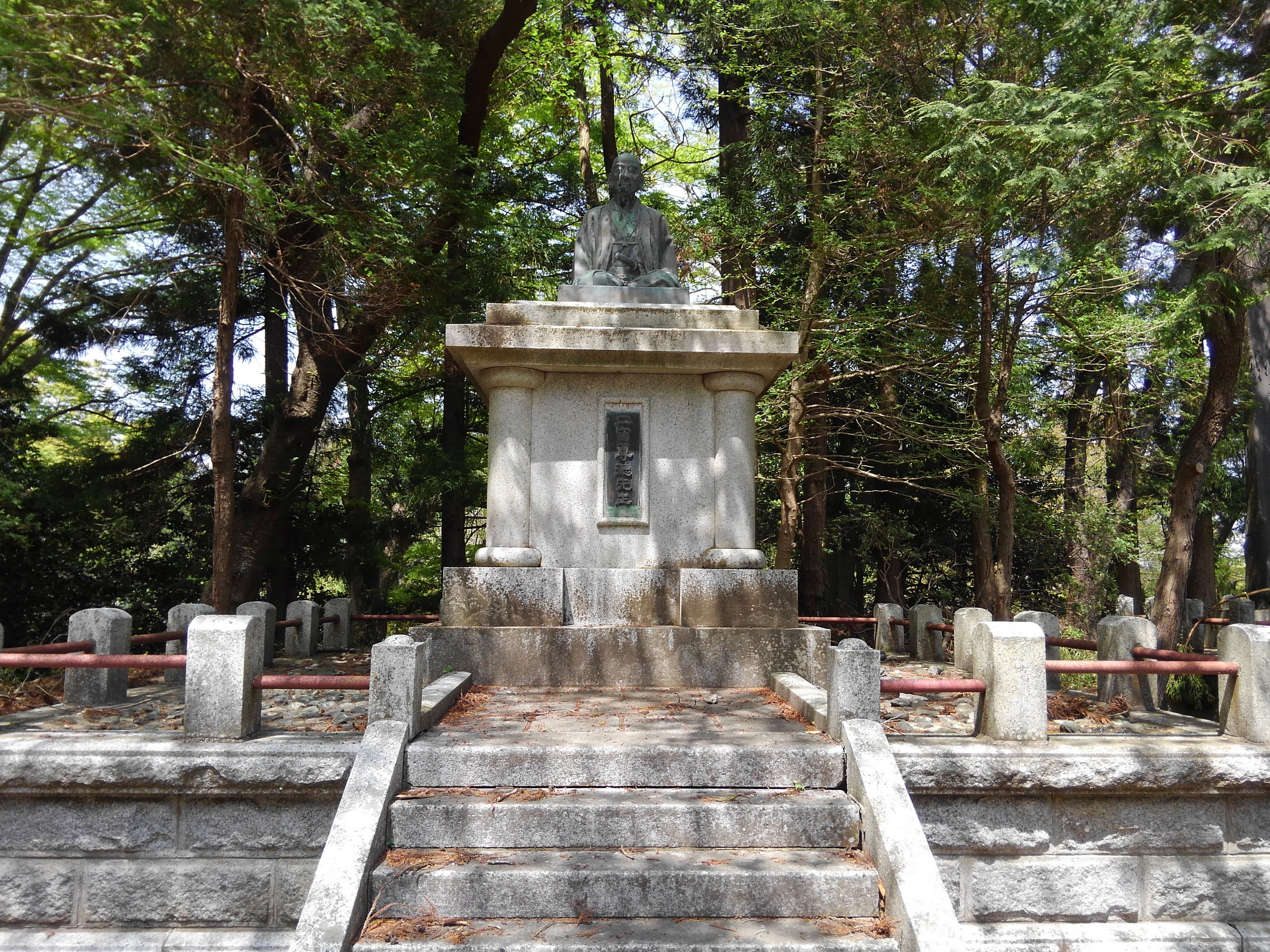
二宮尊徳先生
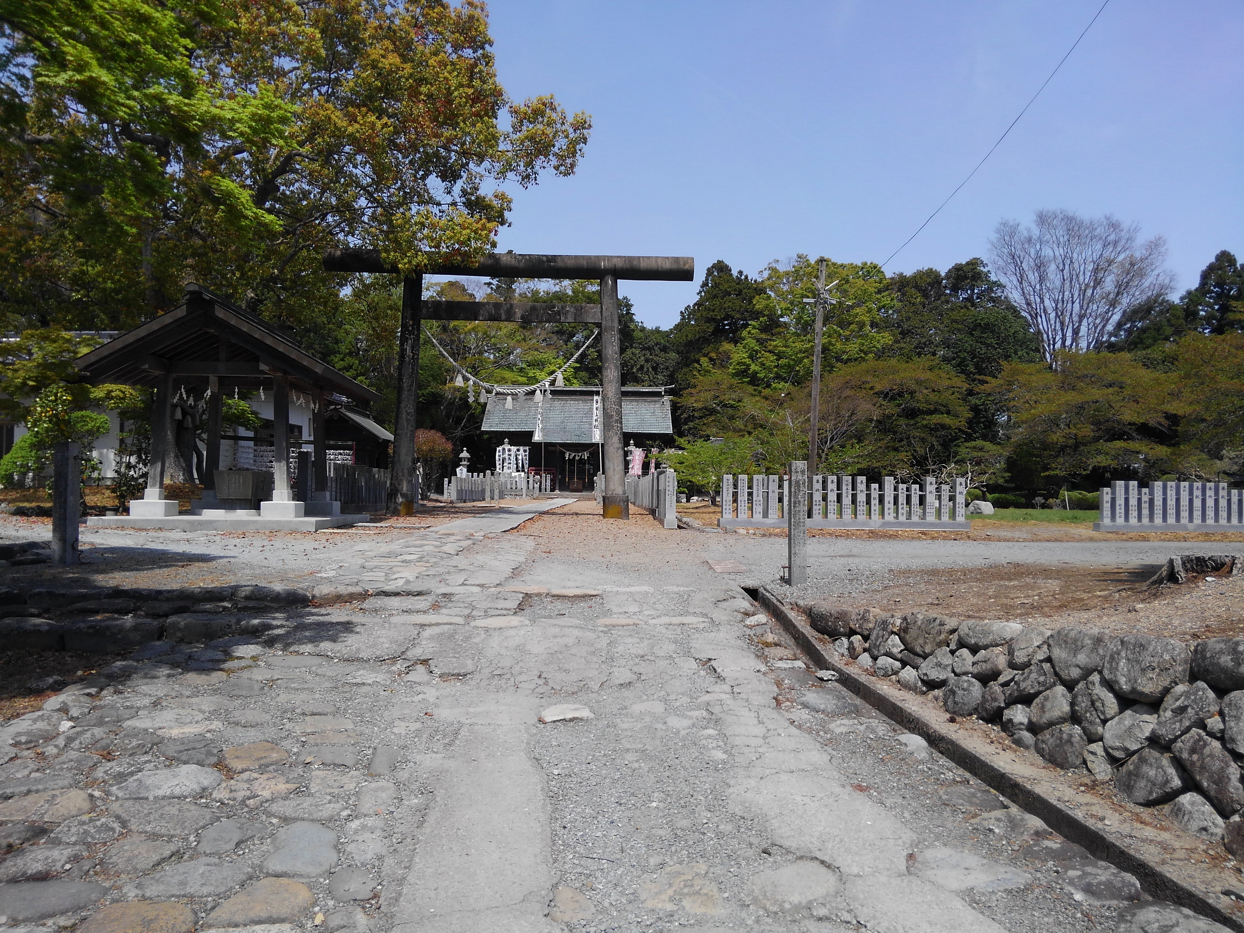
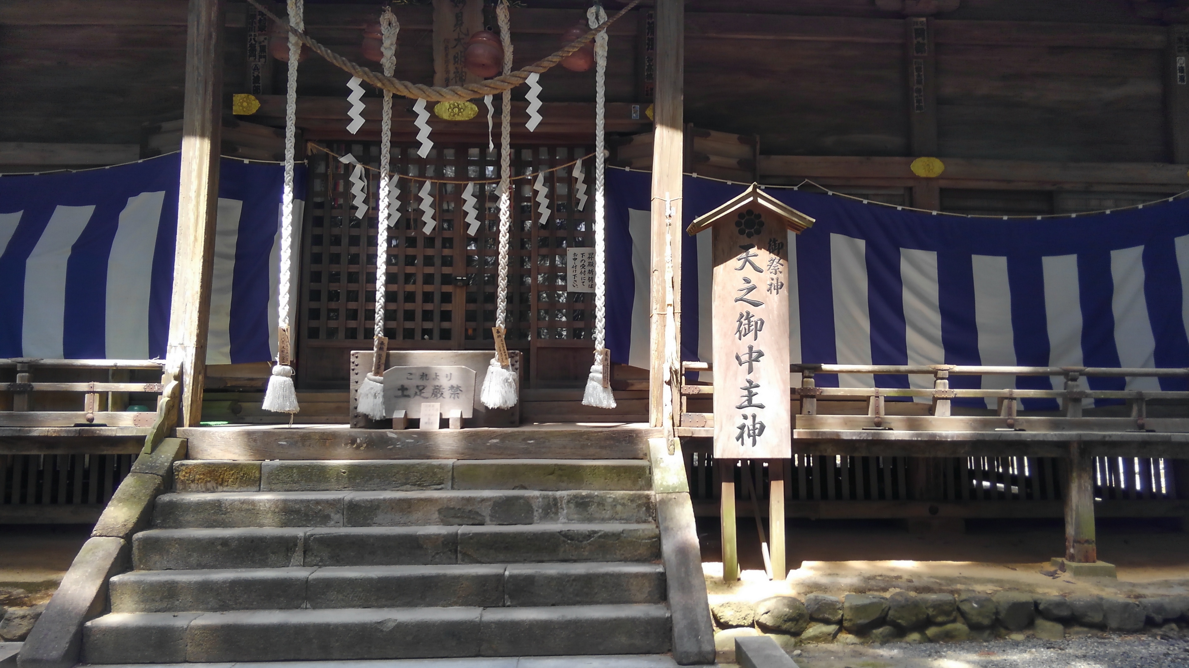
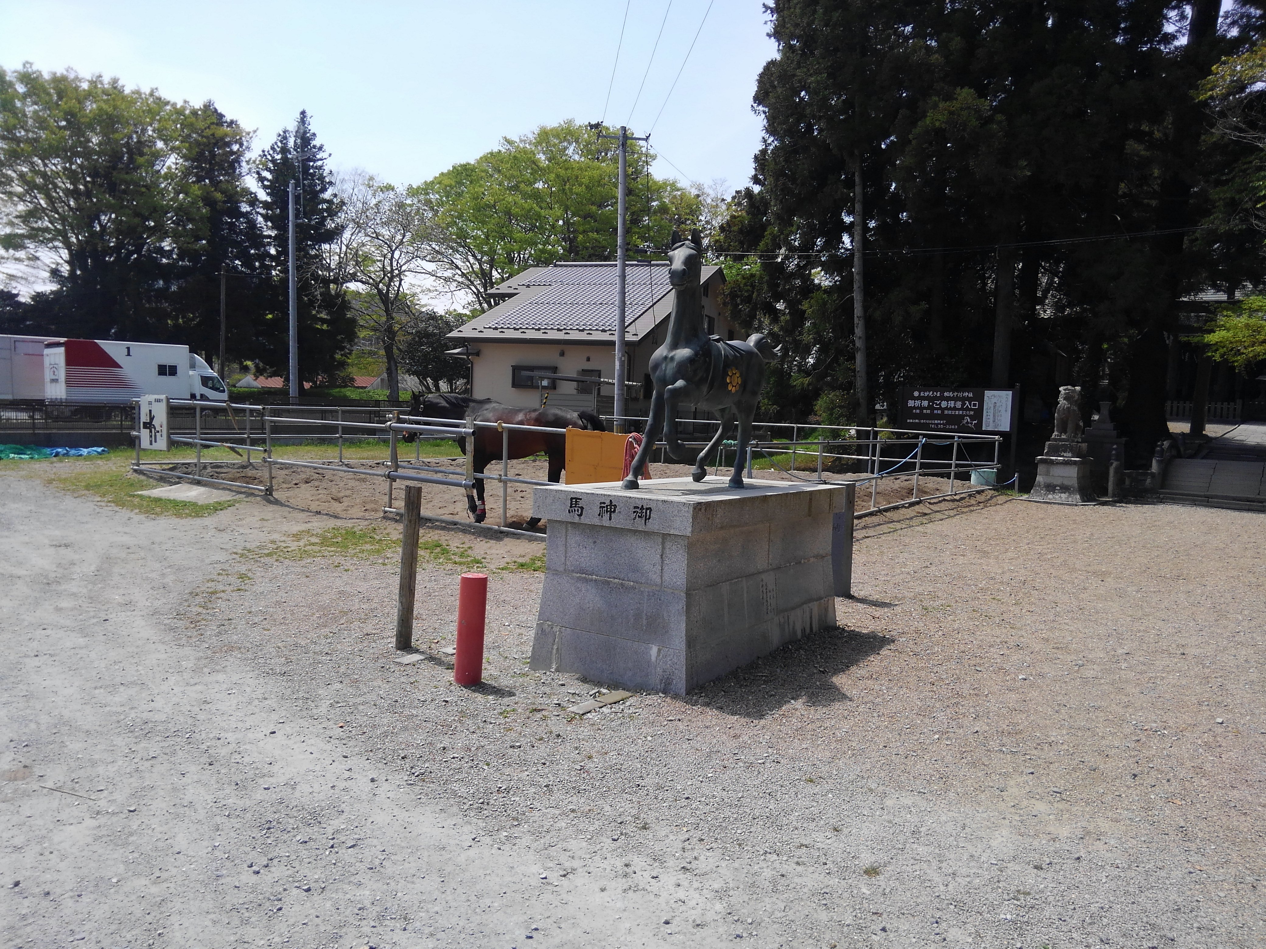
相馬神社
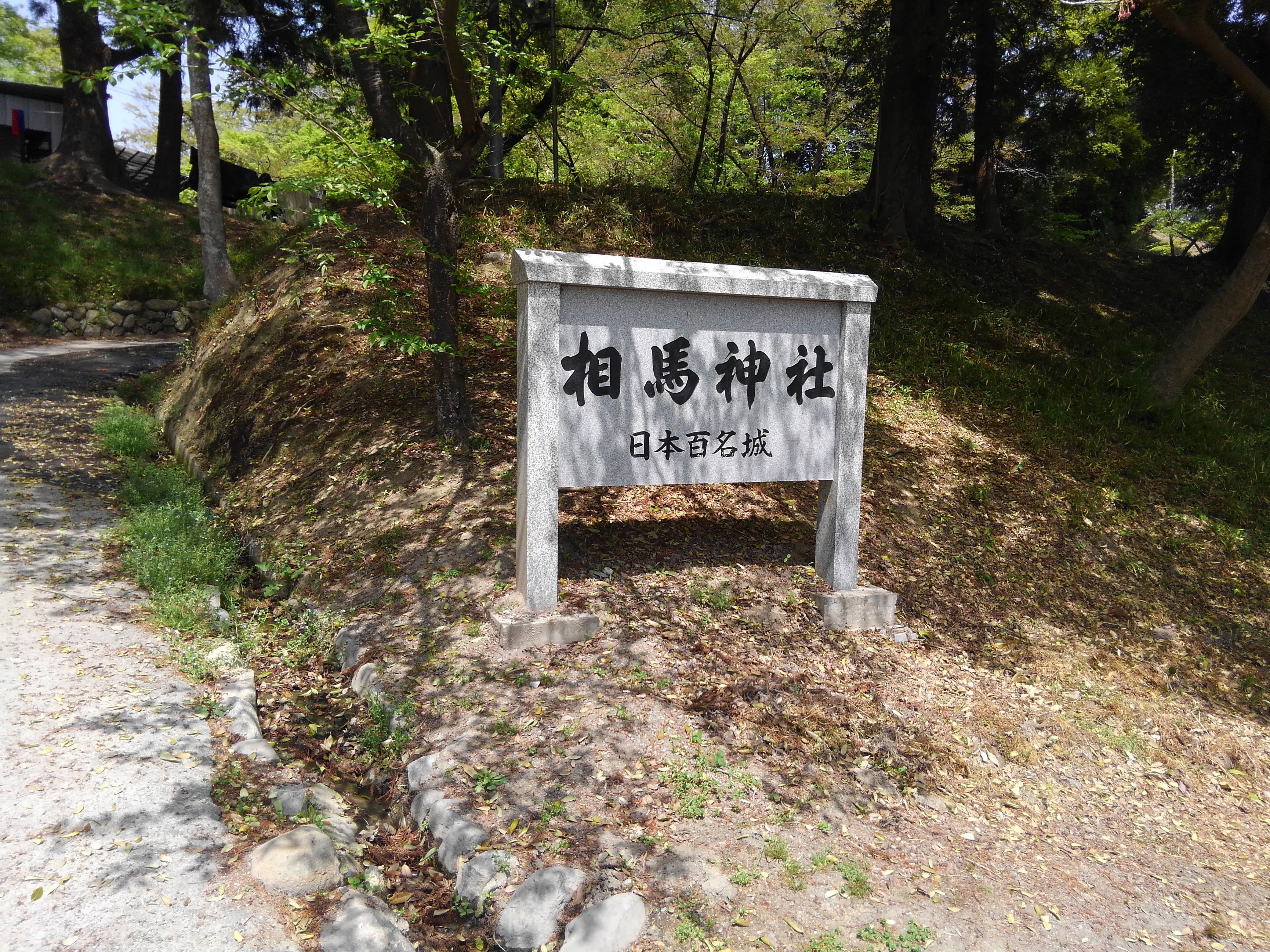
相馬神社
二礼二拍手一礼
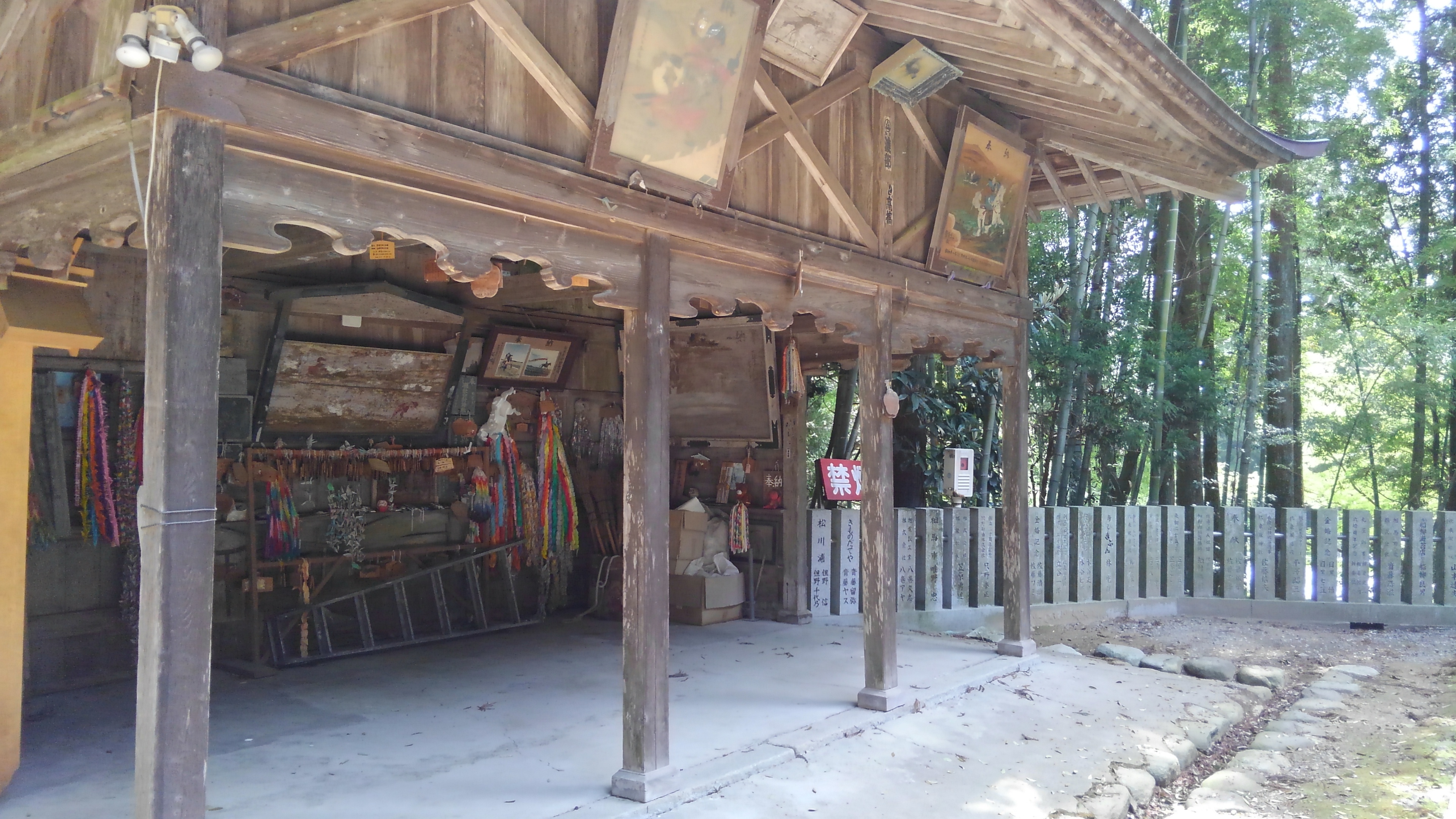
相馬中村神社
相馬中村神社
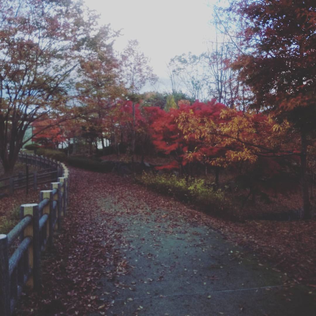
博物館の紅葉
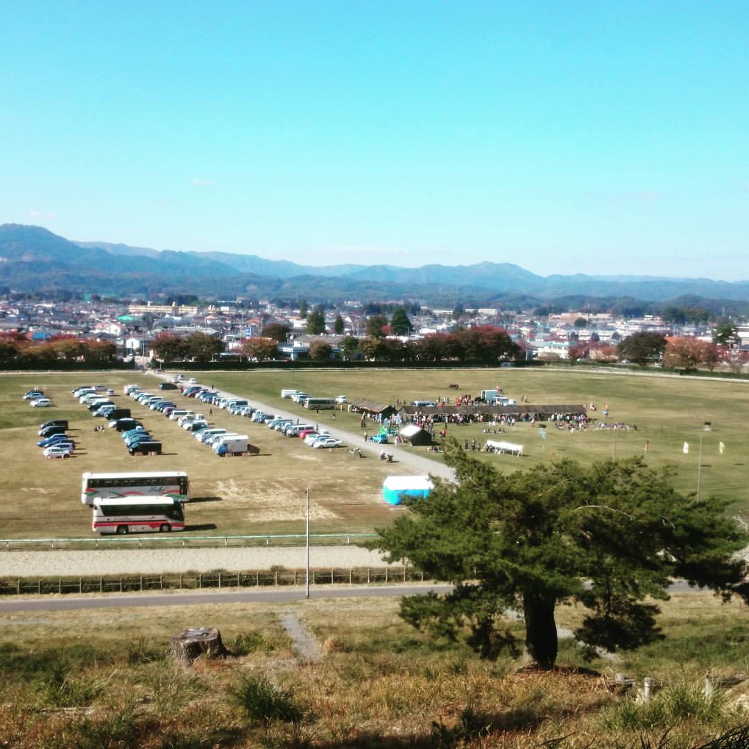
何か行われています。

Haranomachi station

晴天です。
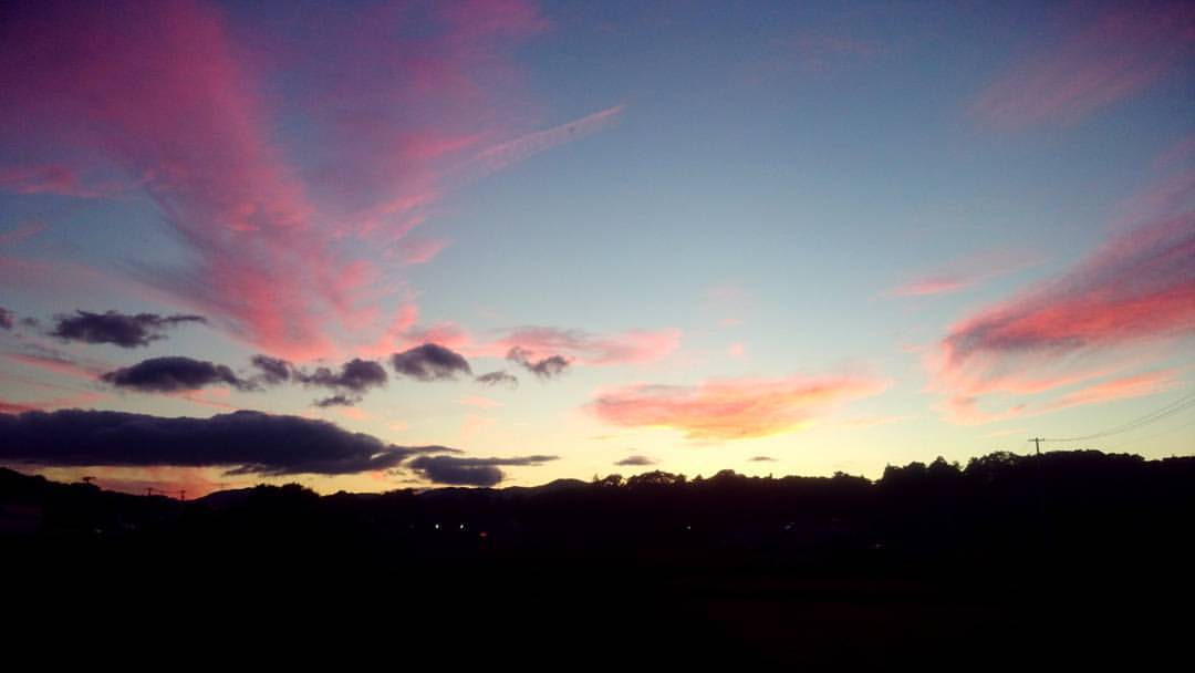
夕焼けを見たのは久しぶりな感じ。

9.40uSv/h, 5/18/2016@Namie, JP

uSv/h, 5/18/2016@Namie, JP

1.75uSv/h, 5/18/2016@Namie, JP
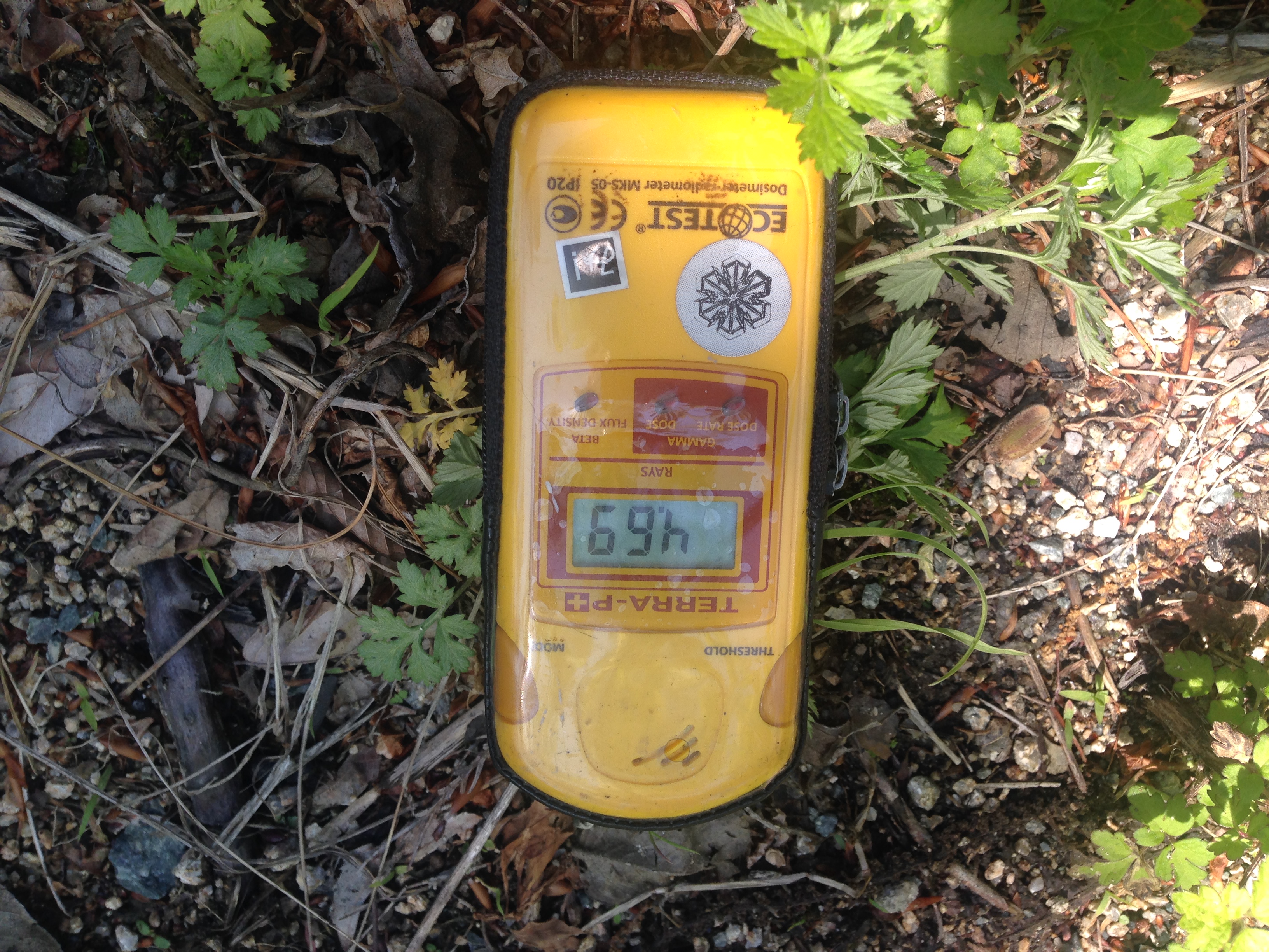
4.69uSv/h, 5/18/2016@Namie, JP
Topographic Map of Kamiyagisawa- Yagisawa, Iitate-mura, Sōma-gun, Fukushima-ken -, Japan
Find elevation by address:

Places near Kamiyagisawa- Yagisawa, Iitate-mura, Sōma-gun, Fukushima-ken -, Japan:
Shiragane-52 Ashihara, Iitate-mura, Sōma-gun, Fukushima-ken -, Japan
Numadaira-75 Komiya, Iitate-mura, Sōma-gun, Fukushima-ken -, Japan
Soma District
Kotogi- Ōkura, Iitate-mura, Sōma-gun, Fukushima-ken -, Japan
Natsui- Komiya, Iitate-mura, Sōma-gun, Fukushima-ken -, Japan
Yubune- Ōkura, Iitate-mura, Sōma-gun, Fukushima-ken -, Japan
Iitate
Nagahashi-92 Fukaya, Iitate-mura, Sōma-gun, Fukushima-ken -, Japan
Kozuma-61 Matsuzuka, Iitate-mura, Sōma-gun, Fukushima-ken -, Japan
Tokorokubo-10 Iitoi, Iitate-mura, Sōma-gun, Fukushima-ken -, Japan
Toratori-20 Sasu, Iitate-mura, Sōma-gun, Fukushima-ken -, Japan
Machi-4 Usuishi, Iitate-mura, Sōma-gun, Fukushima-ken -, Japan
Minamizawa-63 Tomizawa, Sōma-shi, Fukushima-ken -, Japan
Inada- Kashimaku Yamashita, Minamisōma-shi, Fukushima-ken -, Japan
Dobu-59 Imada, Sōma-shi, Fukushima-ken -, Japan
Kamihiso- Hiso, Iitate-mura, Sōma-gun, Fukushima-ken -, Japan
Goanzawa- Tsubota, Sōma-shi, Fukushima-ken -, Japan
Kamiukita- Kashimaku Ukita, Minamisōma-shi, Fukushima-ken -, Japan
Toriida-28 Kashimaku Okawada, Minamisōma-shi, Fukushima-ken -, Japan
Takanosu-63 Kashimaku Terauchi, Minamisōma-shi, Fukushima-ken -, Japan
Recent Searches:
- Elevation of Royal Ontario Museum, Queens Park, Toronto, ON M5S 2C6, Canada
- Elevation of Groblershoop, South Africa
- Elevation of Power Generation Enterprises | Industrial Diesel Generators, Oak Ave, Canyon Country, CA, USA
- Elevation of Chesaw Rd, Oroville, WA, USA
- Elevation of N, Mt Pleasant, UT, USA
- Elevation of 6 Rue Jules Ferry, Beausoleil, France
- Elevation of Sattva Horizon, 4JC6+G9P, Vinayak Nagar, Kattigenahalli, Bengaluru, Karnataka, India
- Elevation of Great Brook Sports, Gold Star Hwy, Groton, CT, USA
- Elevation of 10 Mountain Laurels Dr, Nashua, NH, USA
- Elevation of 16 Gilboa Ln, Nashua, NH, USA