Elevation of Soma District, Fukushima Prefecture, Japan
Location: Japan > Fukushima Prefecture >
Longitude: 140.784
Latitude: 37.714
Elevation: 535m / 1755feet
Barometric Pressure: 95KPa
Elevation Map:
Satellite Map:
Related Photos:

筆甫の棚田

筆甫の田んぼ
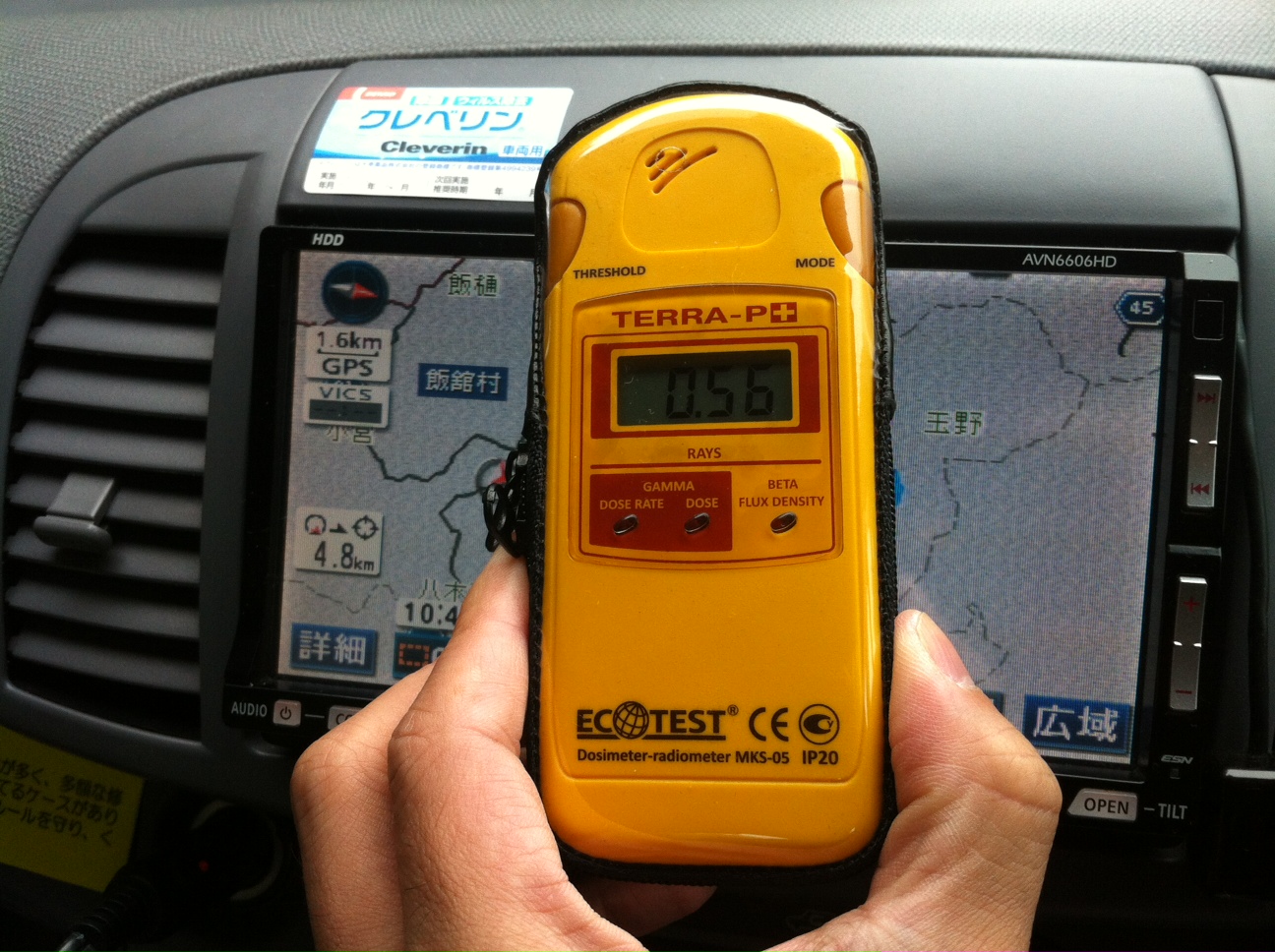
0.56uSv/h 2013/10/25 10:49@iitate Mira
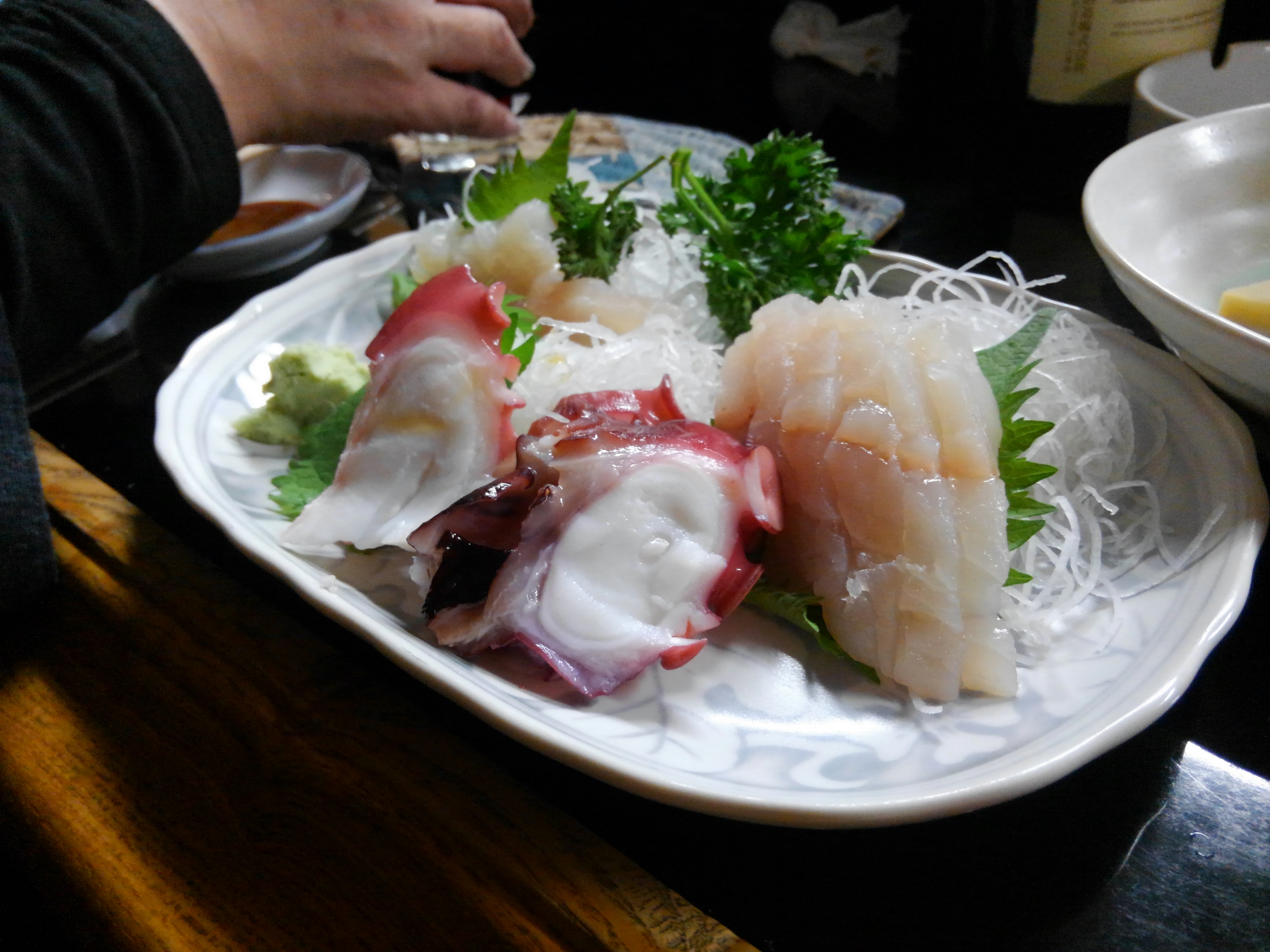
新鮮だねえ
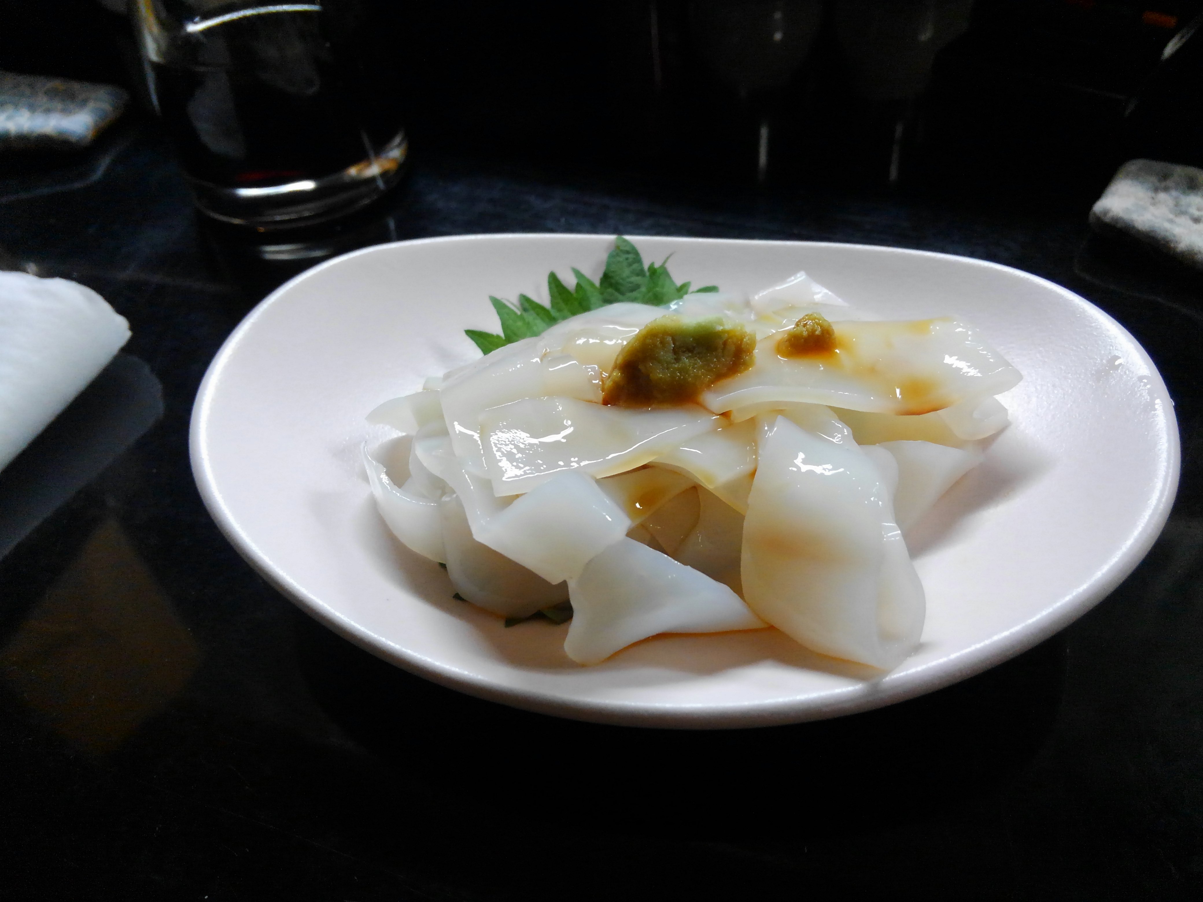
ヒイカ
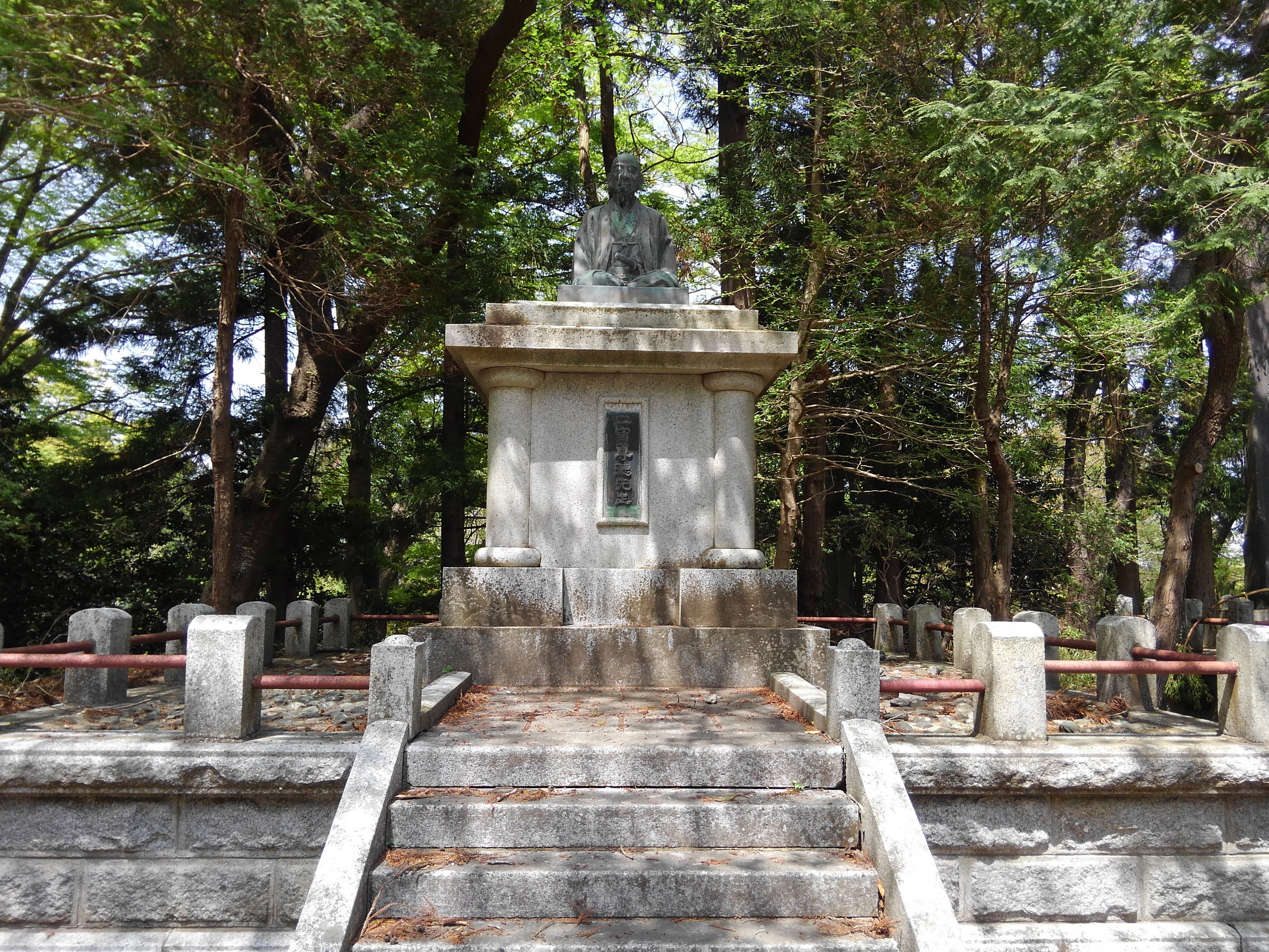
二宮尊徳先生
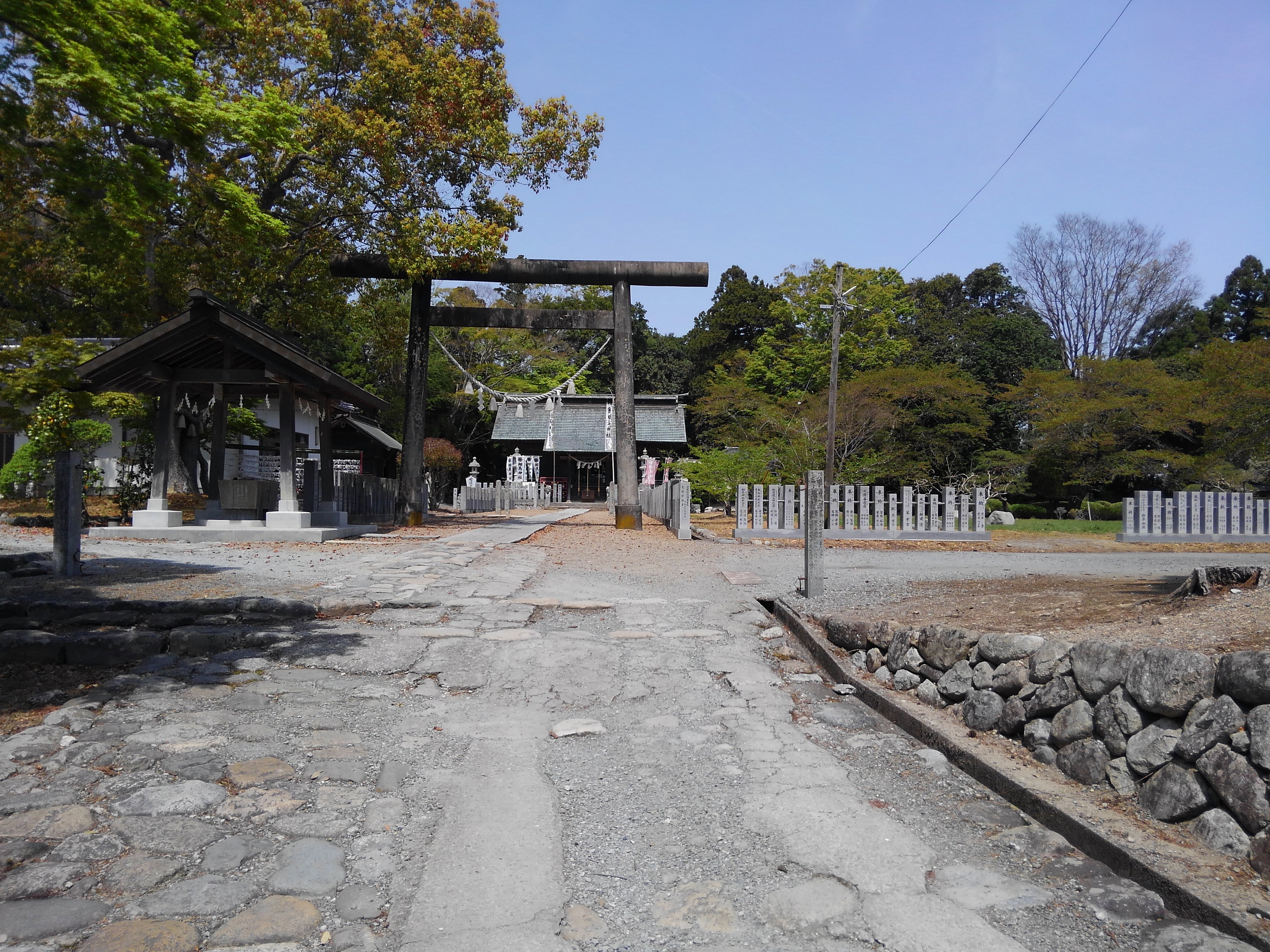
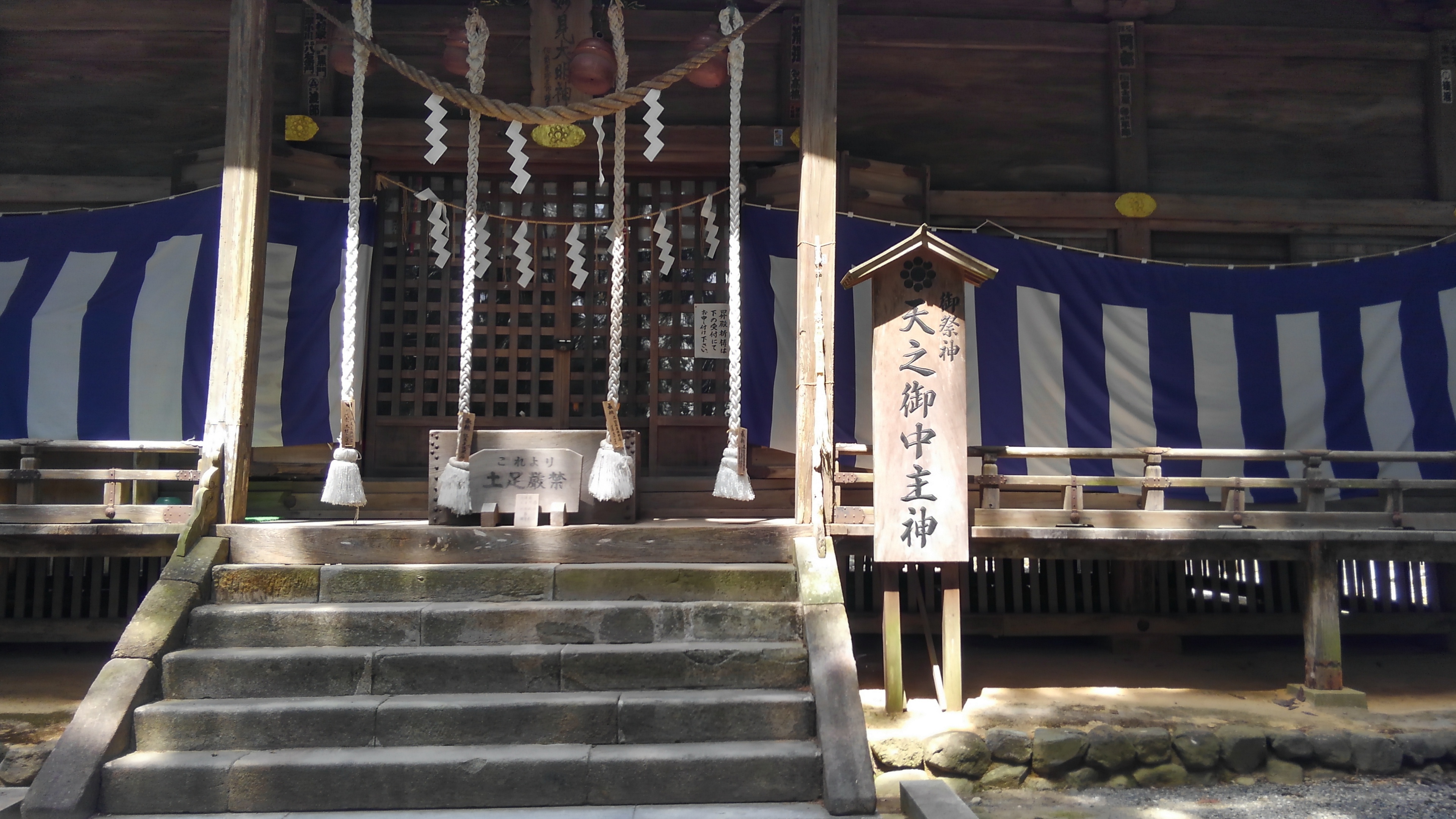
相馬神社
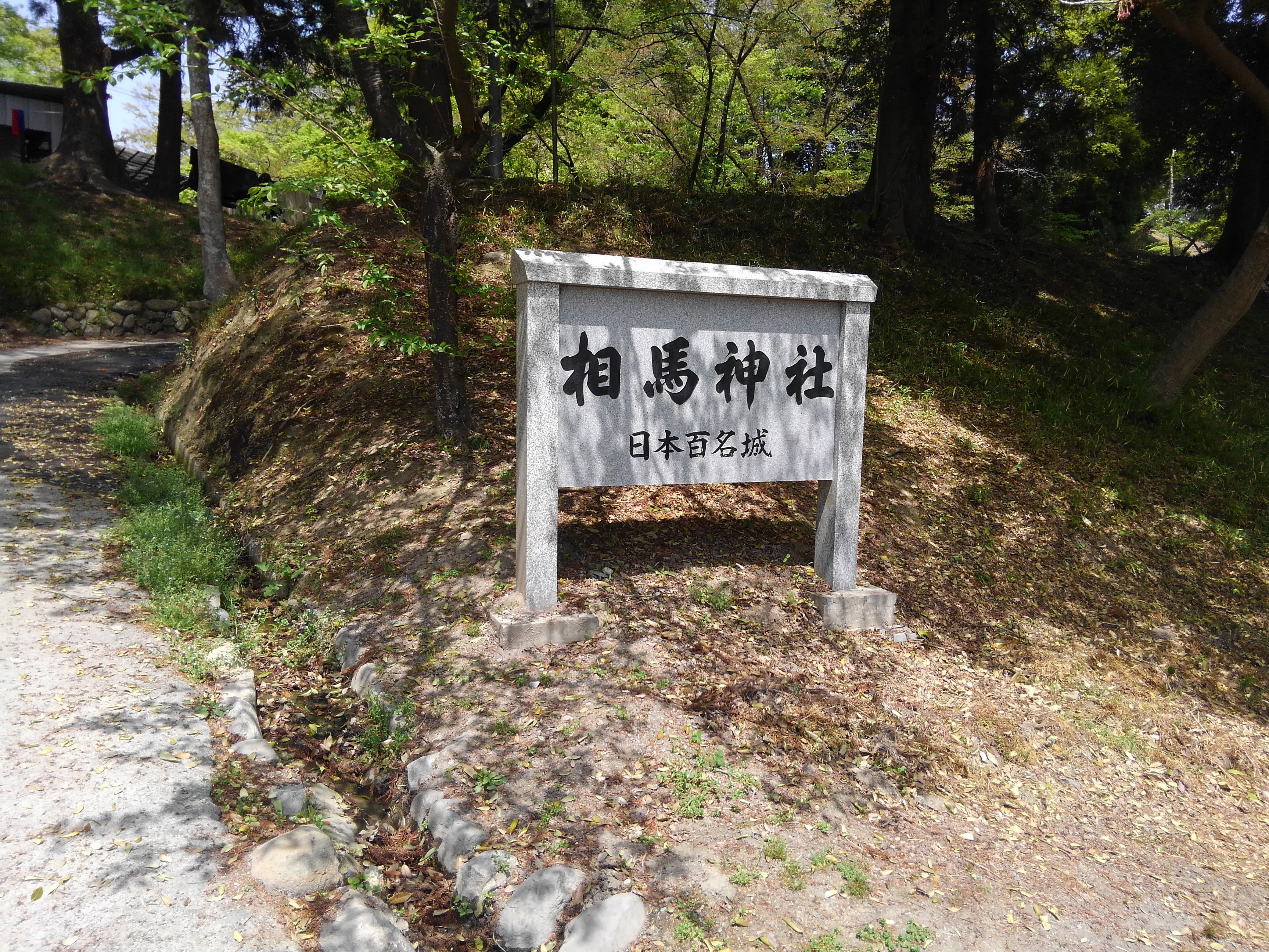
相馬神社
二礼二拍手一礼
相馬中村神社
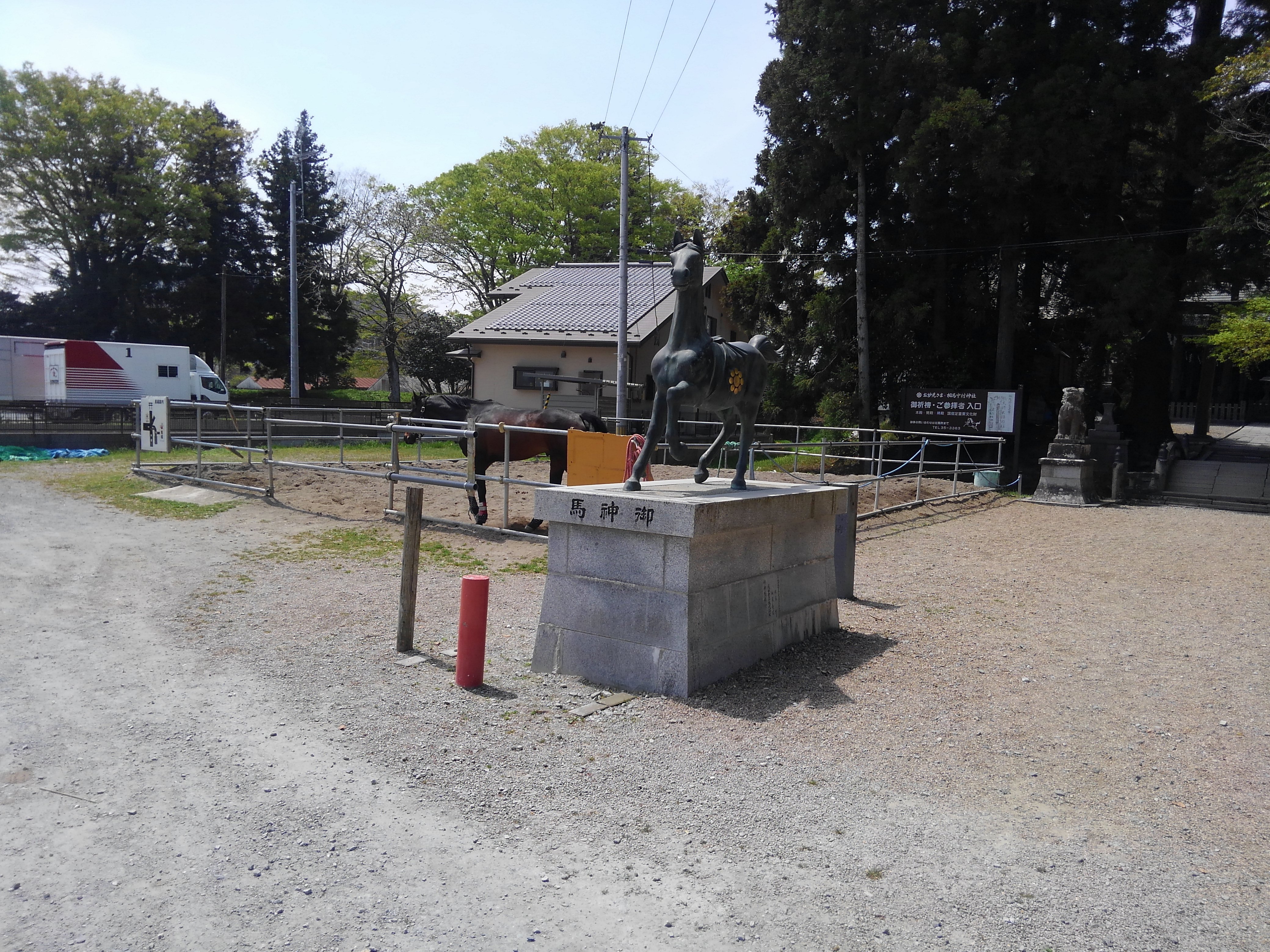
相馬中村神社

Soma station

Soma station

相馬駅
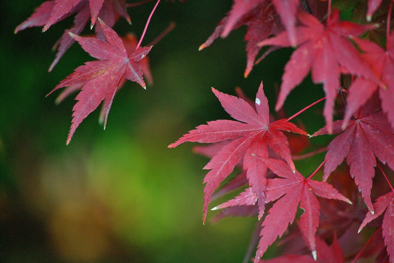
秋の日の午後

All Photos-1876
All Photos-1875

All Photos-1874
All Photos-1873
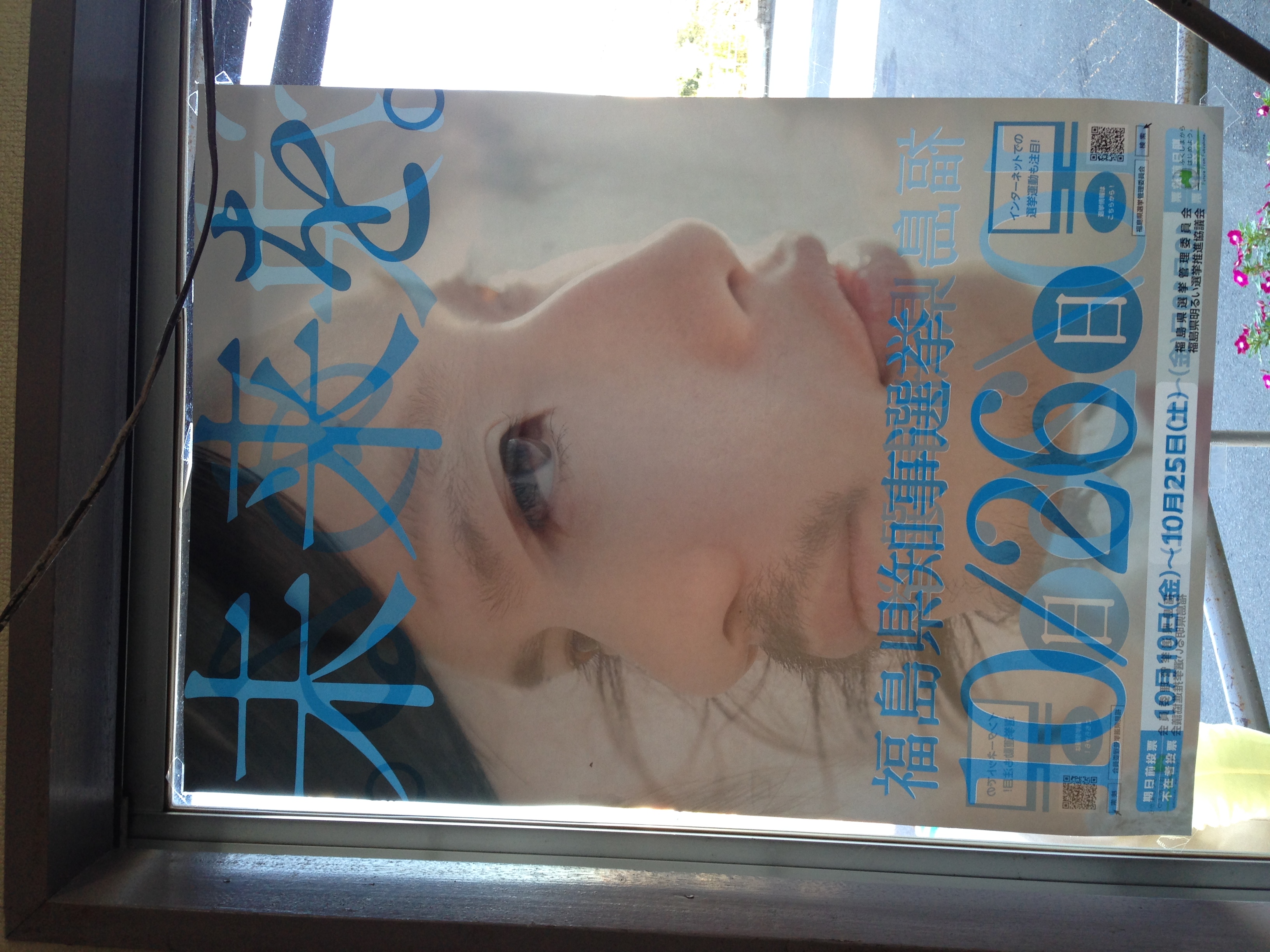
IMG_7204.JPG
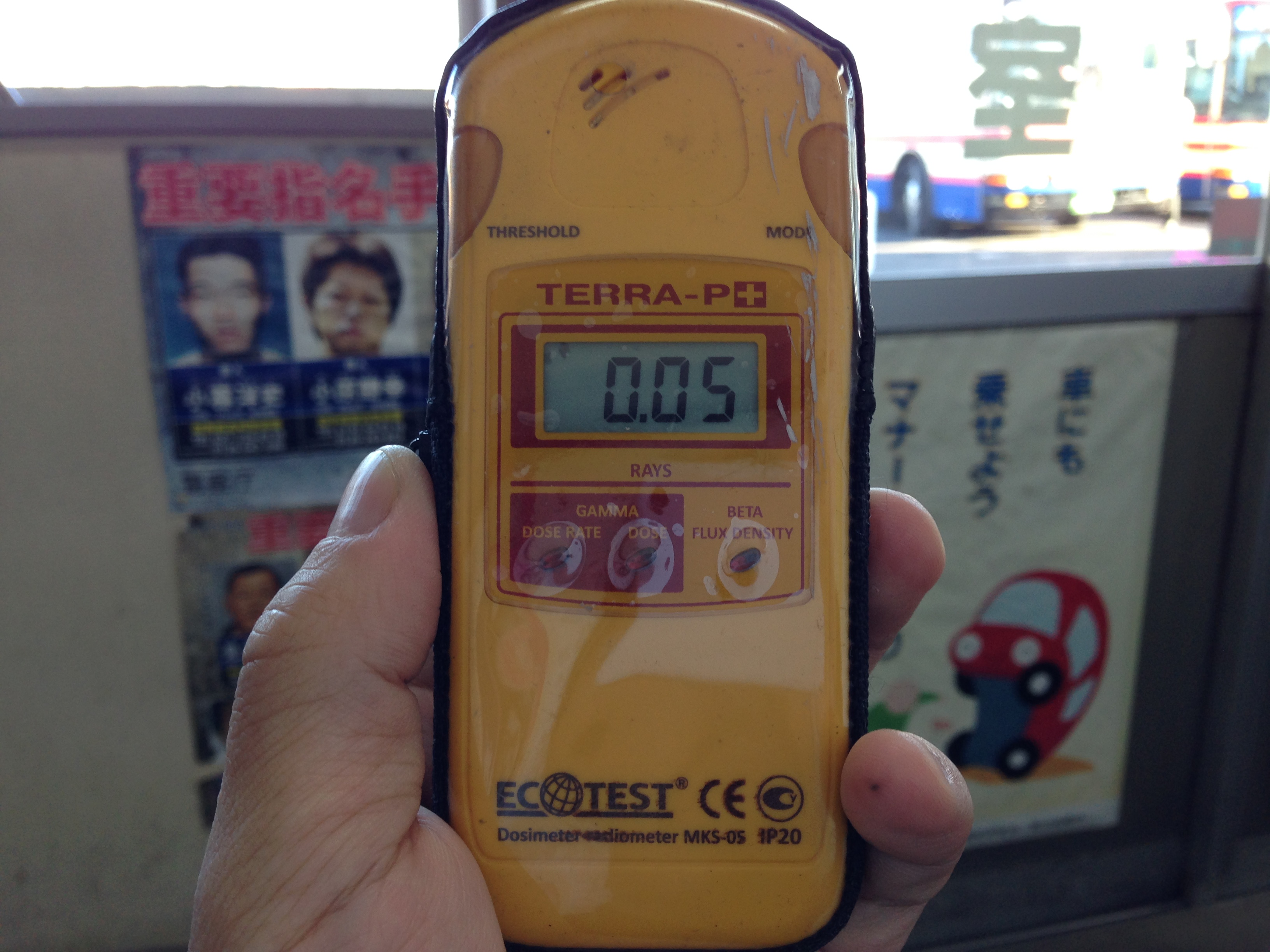
0.05uSv/h 2014/10/15 @ Soma Bus Terminal
IMG_7202.JPG
IMG_7201.JPG
Topographic Map of Soma District, Fukushima Prefecture, Japan
Find elevation by address:

Places in Soma District, Fukushima Prefecture, Japan:
Places near Soma District, Fukushima Prefecture, Japan:
Kotogi- Ōkura, Iitate-mura, Sōma-gun, Fukushima-ken -, Japan
Shiragane-52 Ashihara, Iitate-mura, Sōma-gun, Fukushima-ken -, Japan
Yubune- Ōkura, Iitate-mura, Sōma-gun, Fukushima-ken -, Japan
Kamiyagisawa- Yagisawa, Iitate-mura, Sōma-gun, Fukushima-ken -, Japan
Numadaira-75 Komiya, Iitate-mura, Sōma-gun, Fukushima-ken -, Japan
Nagahashi-92 Fukaya, Iitate-mura, Sōma-gun, Fukushima-ken -, Japan
Iitate
Natsui- Komiya, Iitate-mura, Sōma-gun, Fukushima-ken -, Japan
Kozuma-61 Matsuzuka, Iitate-mura, Sōma-gun, Fukushima-ken -, Japan
Toratori-20 Sasu, Iitate-mura, Sōma-gun, Fukushima-ken -, Japan
Machi-4 Usuishi, Iitate-mura, Sōma-gun, Fukushima-ken -, Japan
Tokorokubo-10 Iitoi, Iitate-mura, Sōma-gun, Fukushima-ken -, Japan
Dobu-59 Imada, Sōma-shi, Fukushima-ken -, Japan
Kamihiso- Hiso, Iitate-mura, Sōma-gun, Fukushima-ken -, Japan
Minamizawa-63 Tomizawa, Sōma-shi, Fukushima-ken -, Japan
Goanzawa- Tsubota, Sōma-shi, Fukushima-ken -, Japan
Inada- Kashimaku Yamashita, Minamisōma-shi, Fukushima-ken -, Japan
Kamiukita- Kashimaku Ukita, Minamisōma-shi, Fukushima-ken -, Japan
Funabashi- Narita, Sōma-shi, Fukushima-ken -, Japan
Inarimae- Tachiya, Sōma-shi, Fukushima-ken -, Japan
Recent Searches:
- Elevation of Gateway Blvd SE, Canton, OH, USA
- Elevation of East W.T. Harris Boulevard, E W.T. Harris Blvd, Charlotte, NC, USA
- Elevation of West Sugar Creek, Charlotte, NC, USA
- Elevation of Wayland, NY, USA
- Elevation of Steadfast Ct, Daphne, AL, USA
- Elevation of Lagasgasan, X+CQH, Tiaong, Quezon, Philippines
- Elevation of Rojo Ct, Atascadero, CA, USA
- Elevation of Flagstaff Drive, Flagstaff Dr, North Carolina, USA
- Elevation of Avery Ln, Lakeland, FL, USA
- Elevation of Woolwine, VA, USA