Elevation of Kamiukita- Kashimaku Ukita, Minamisōma-shi, Fukushima-ken -, Japan
Location: Japan > Fukushima Prefecture > Minamisoma >
Longitude: 140.928556
Latitude: 37.7164574
Elevation: 22m / 72feet
Barometric Pressure: 101KPa
Elevation Map:
Satellite Map:
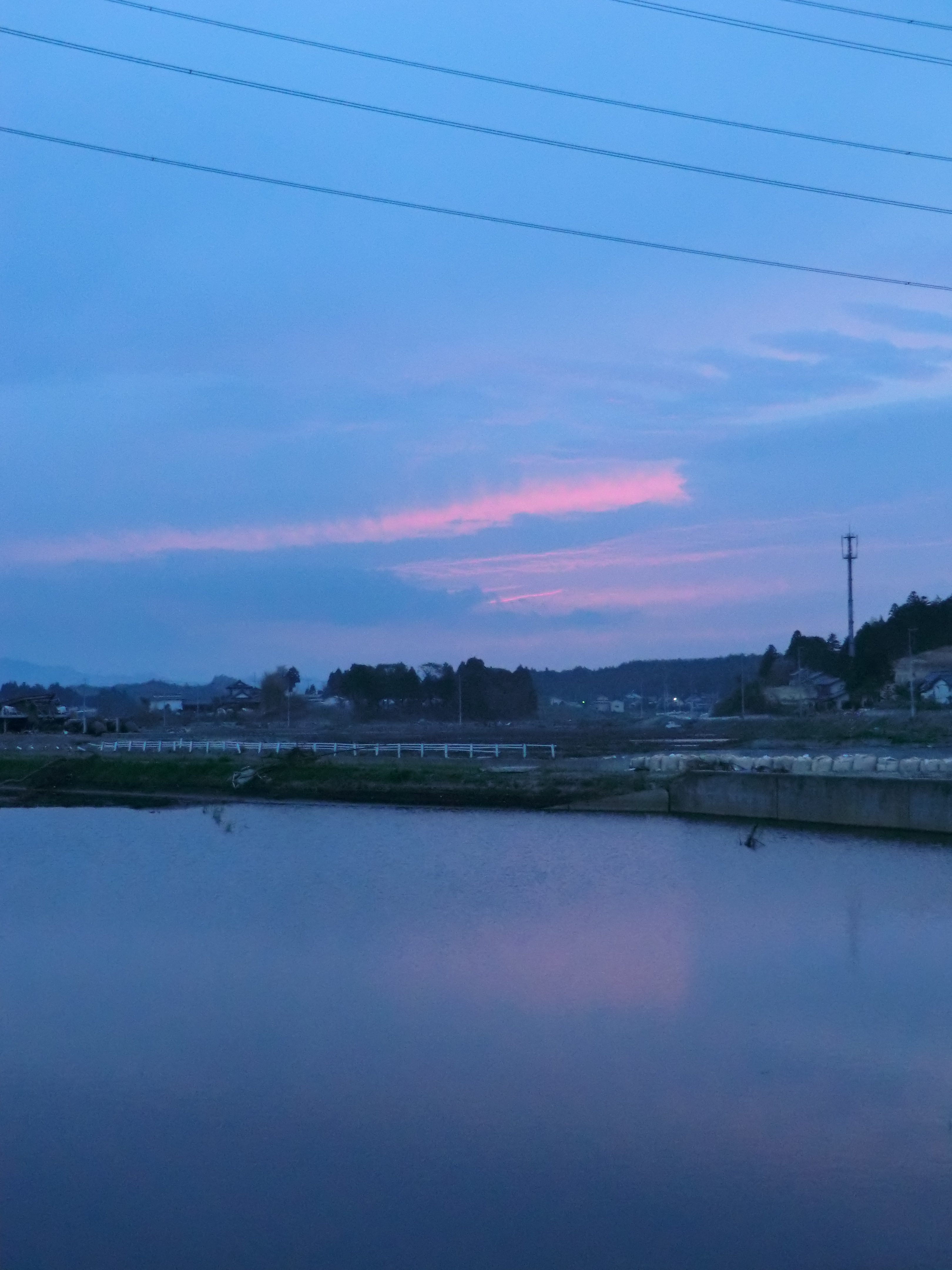
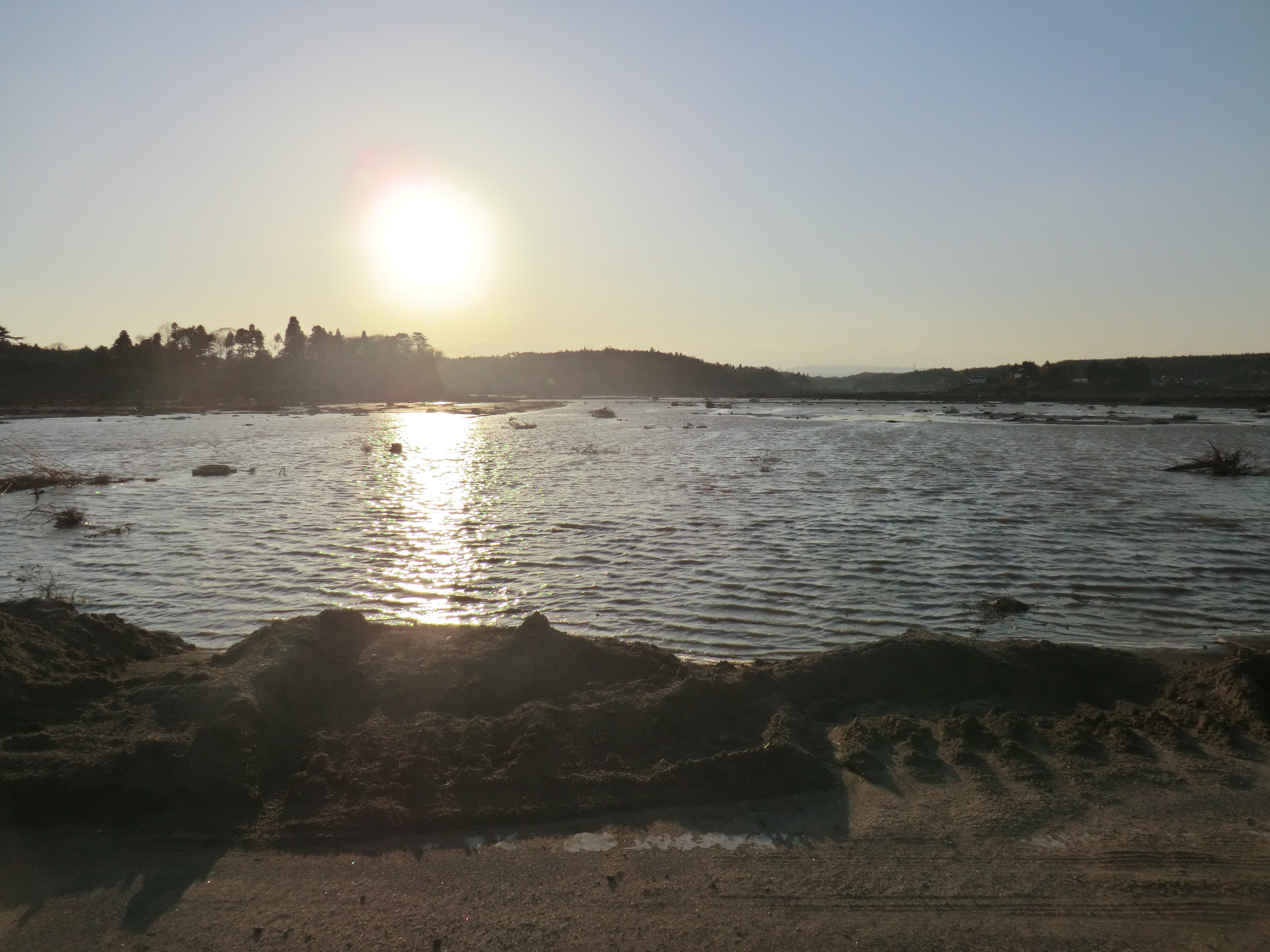
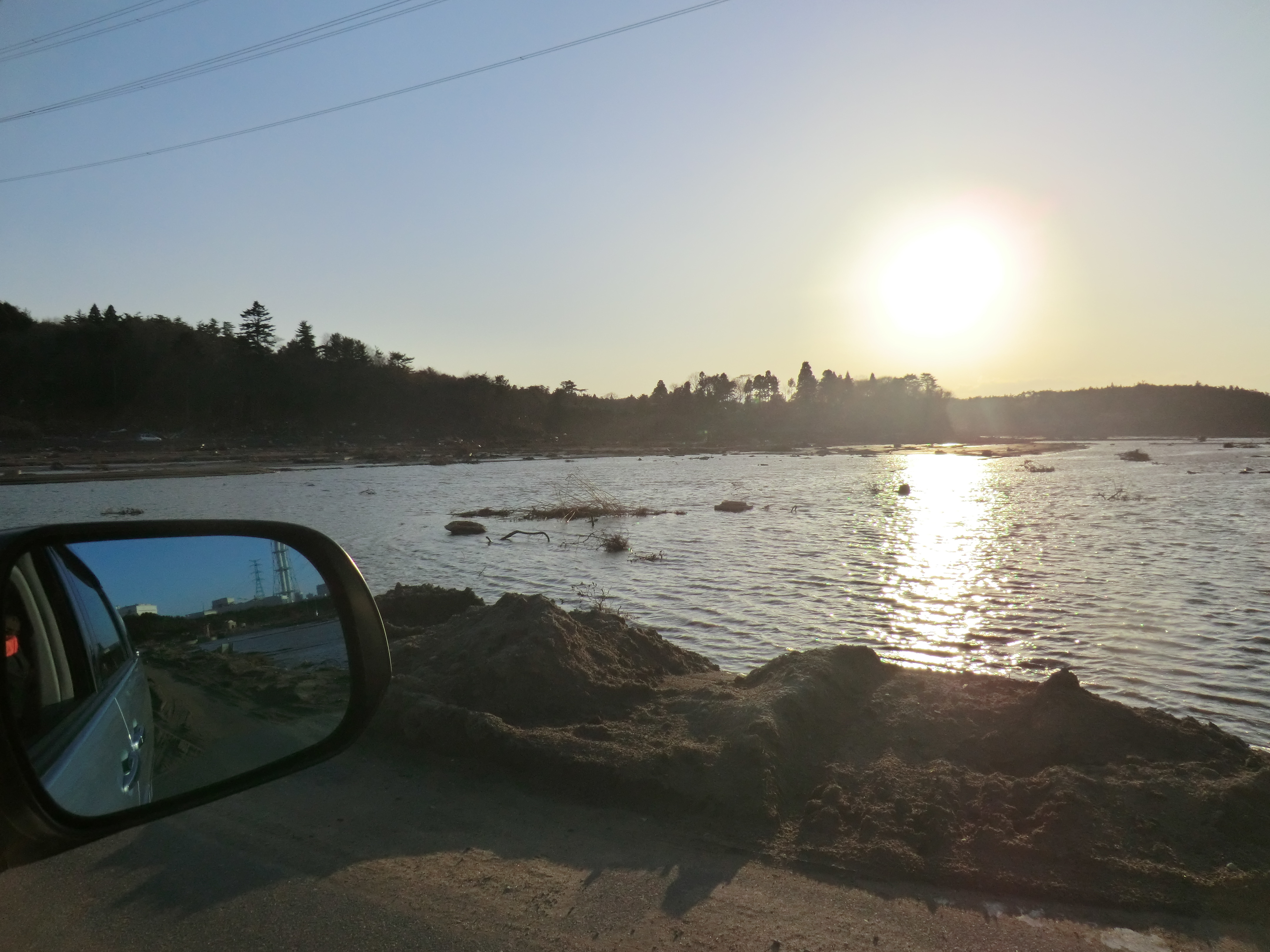
Related Photos:
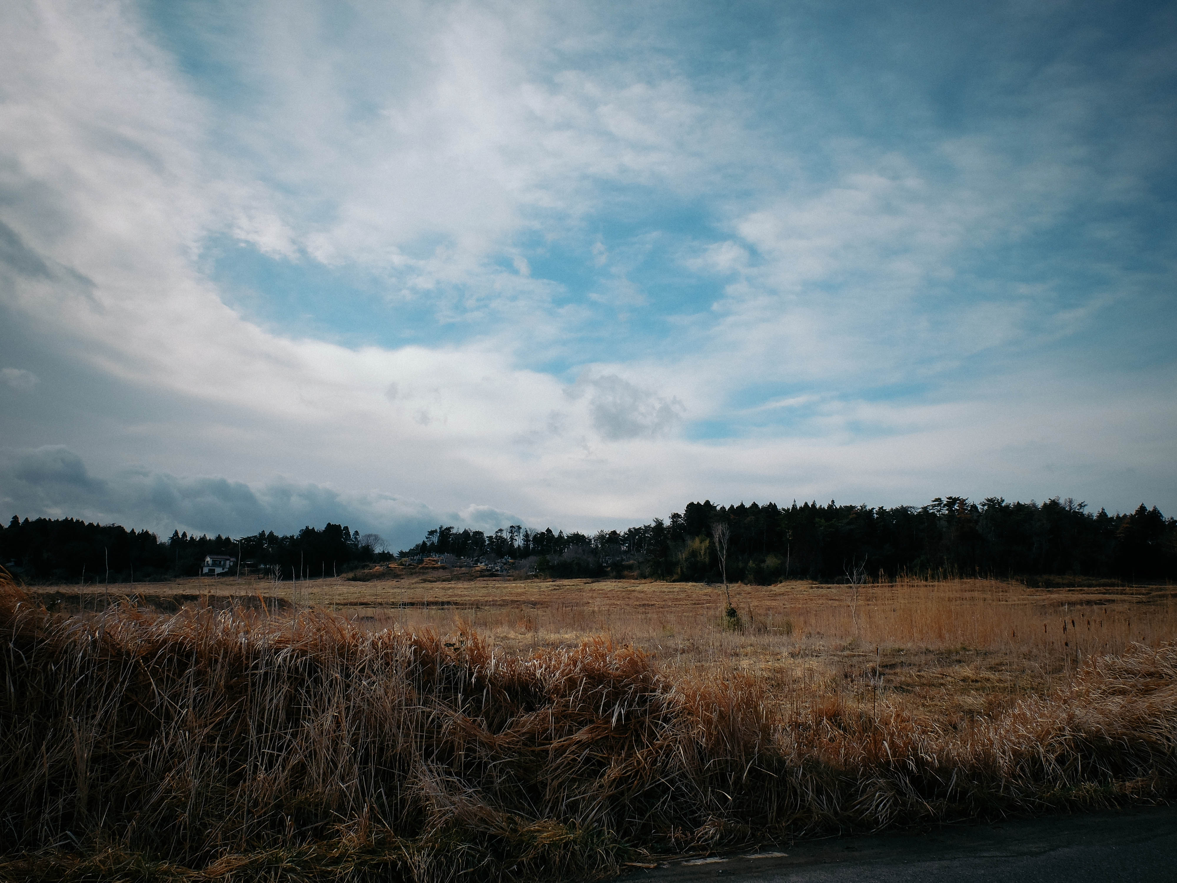
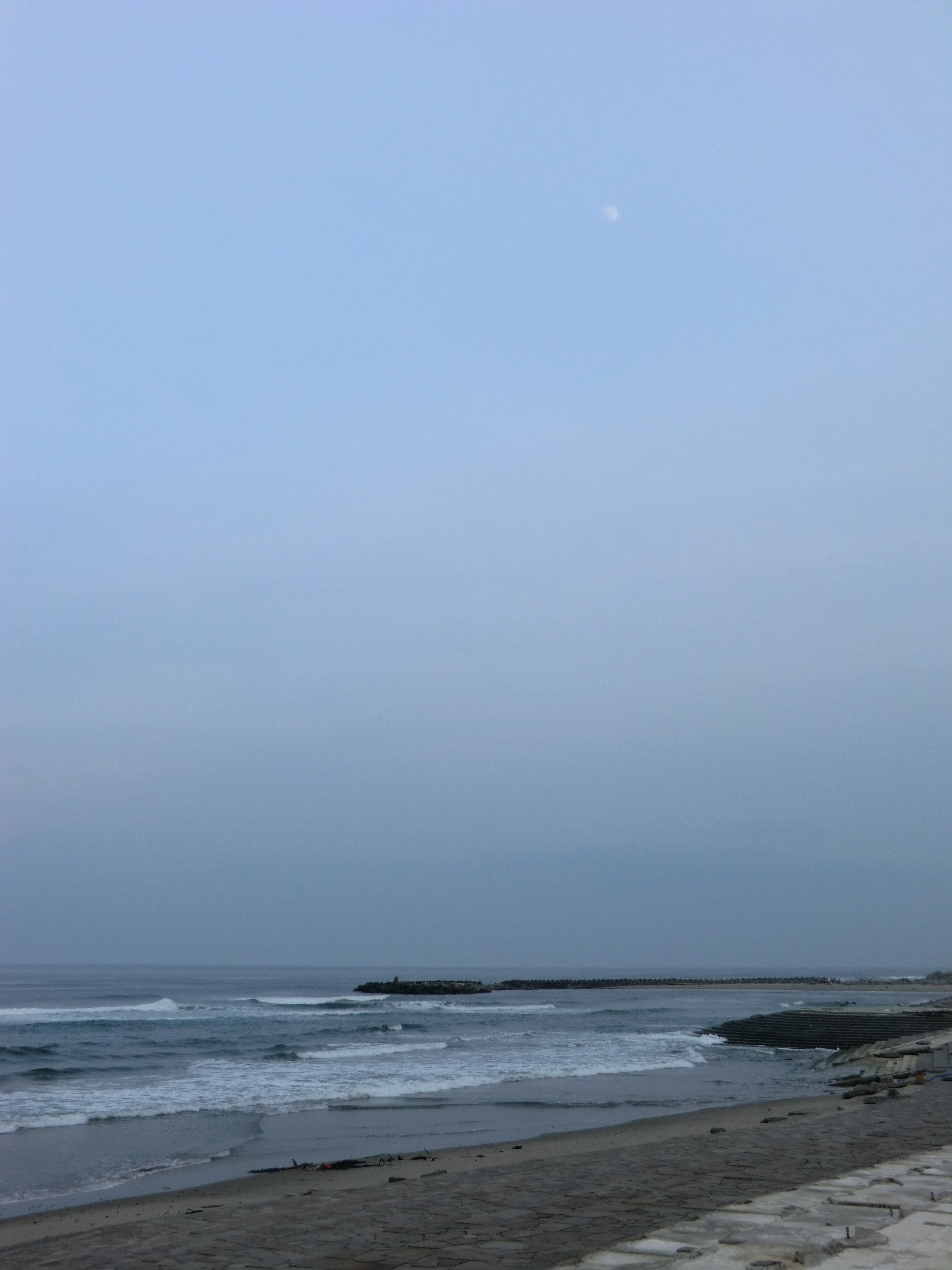
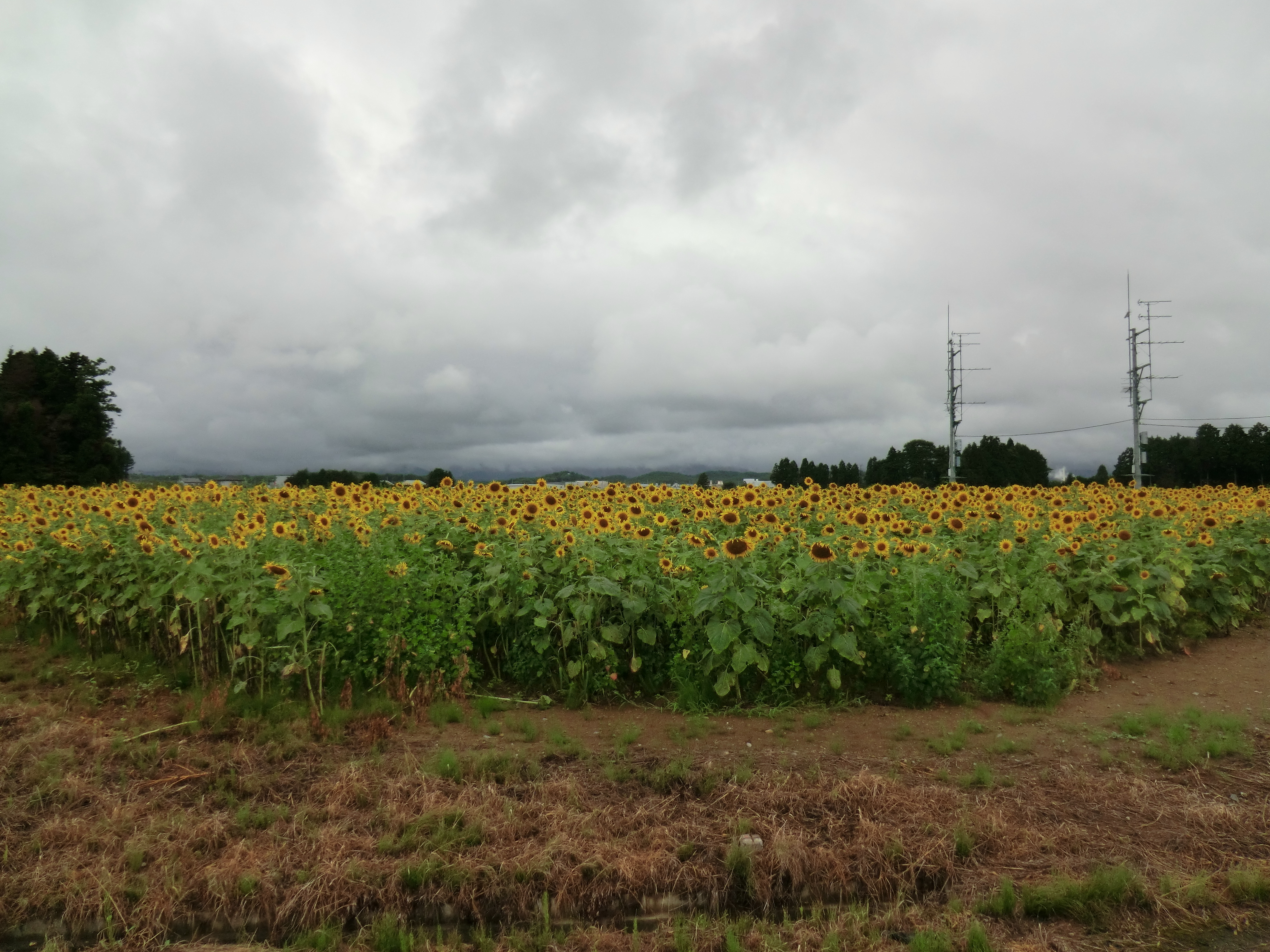
Day 310/365
CIMG1155.JPG

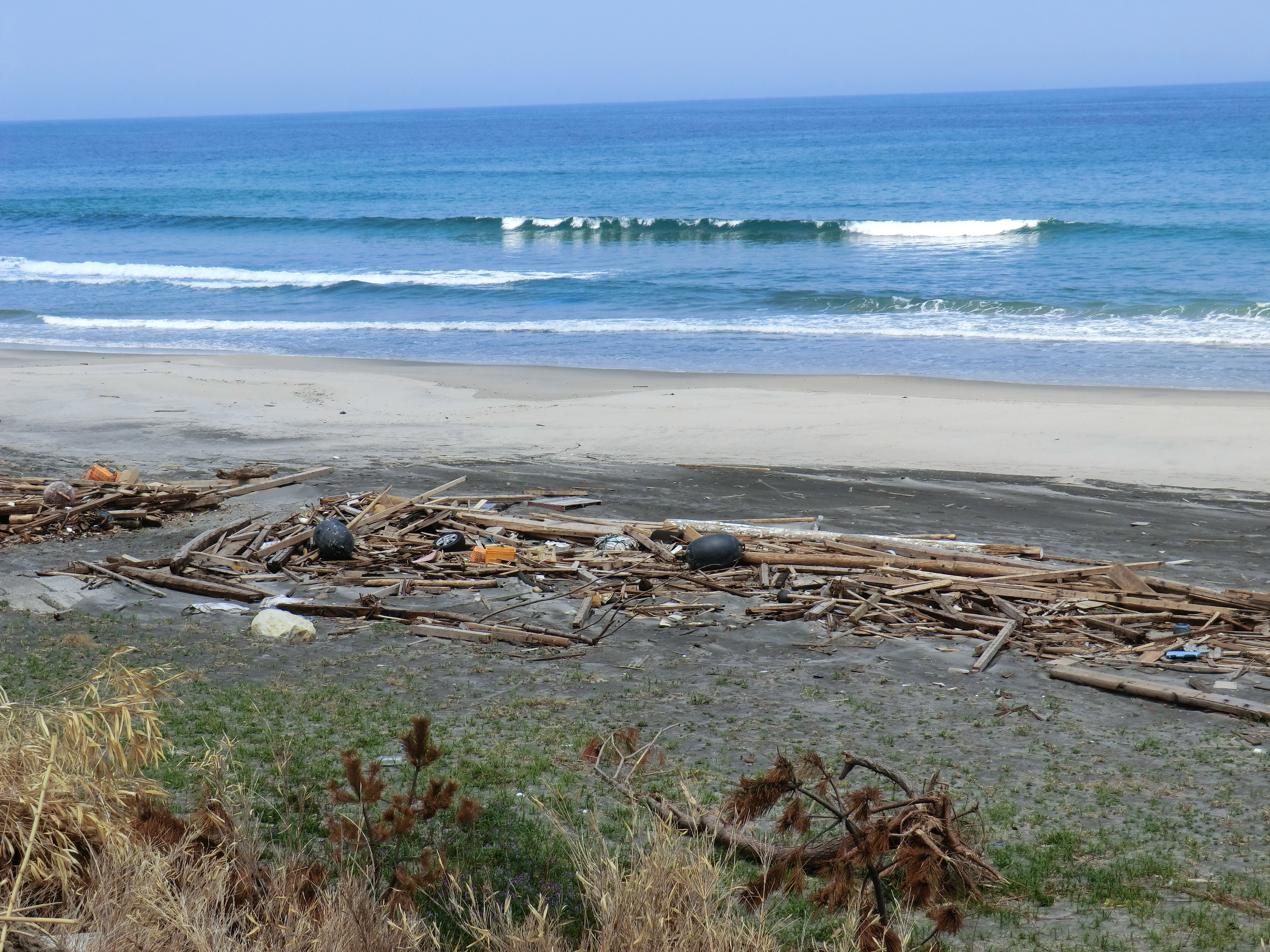
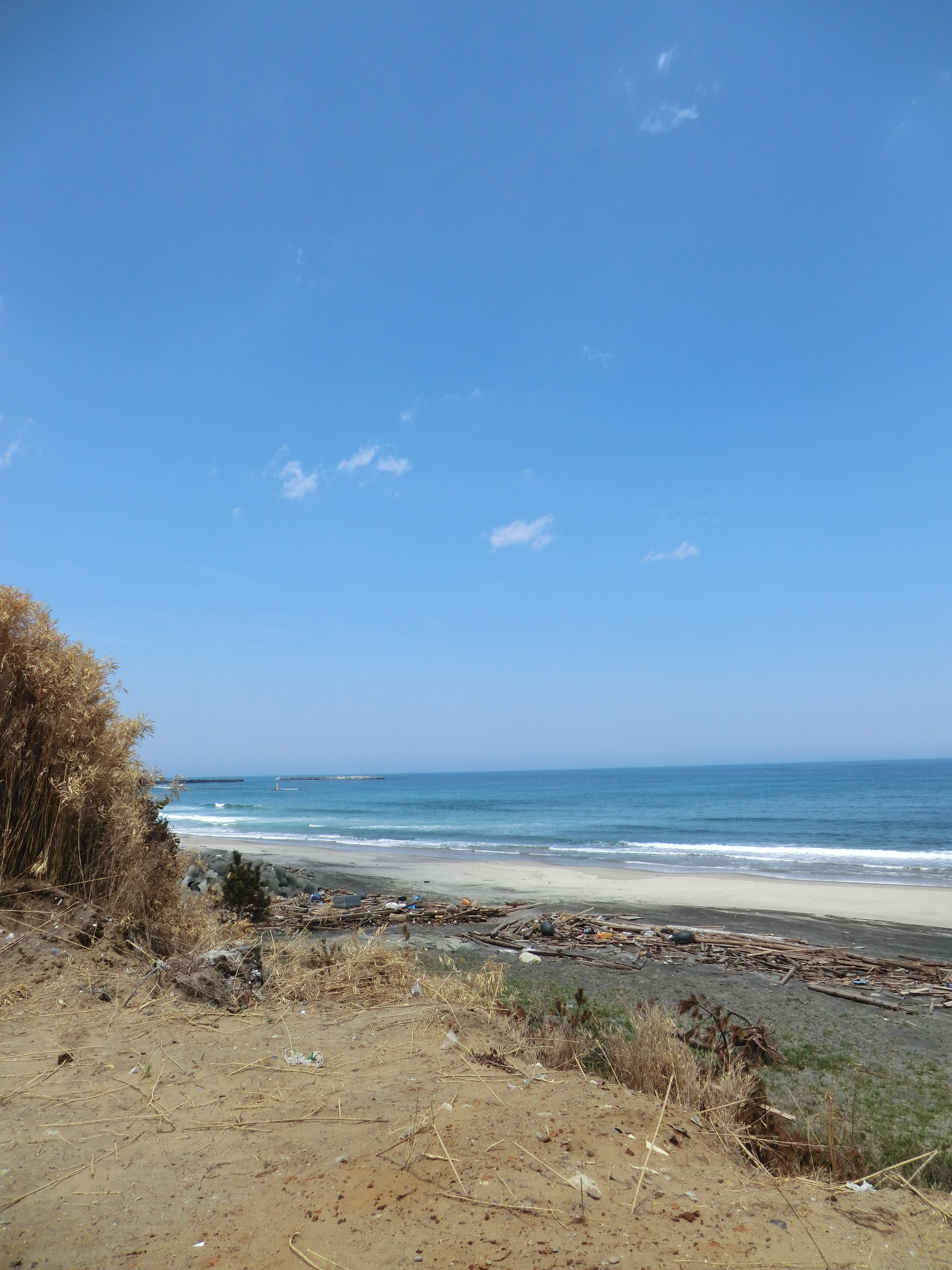
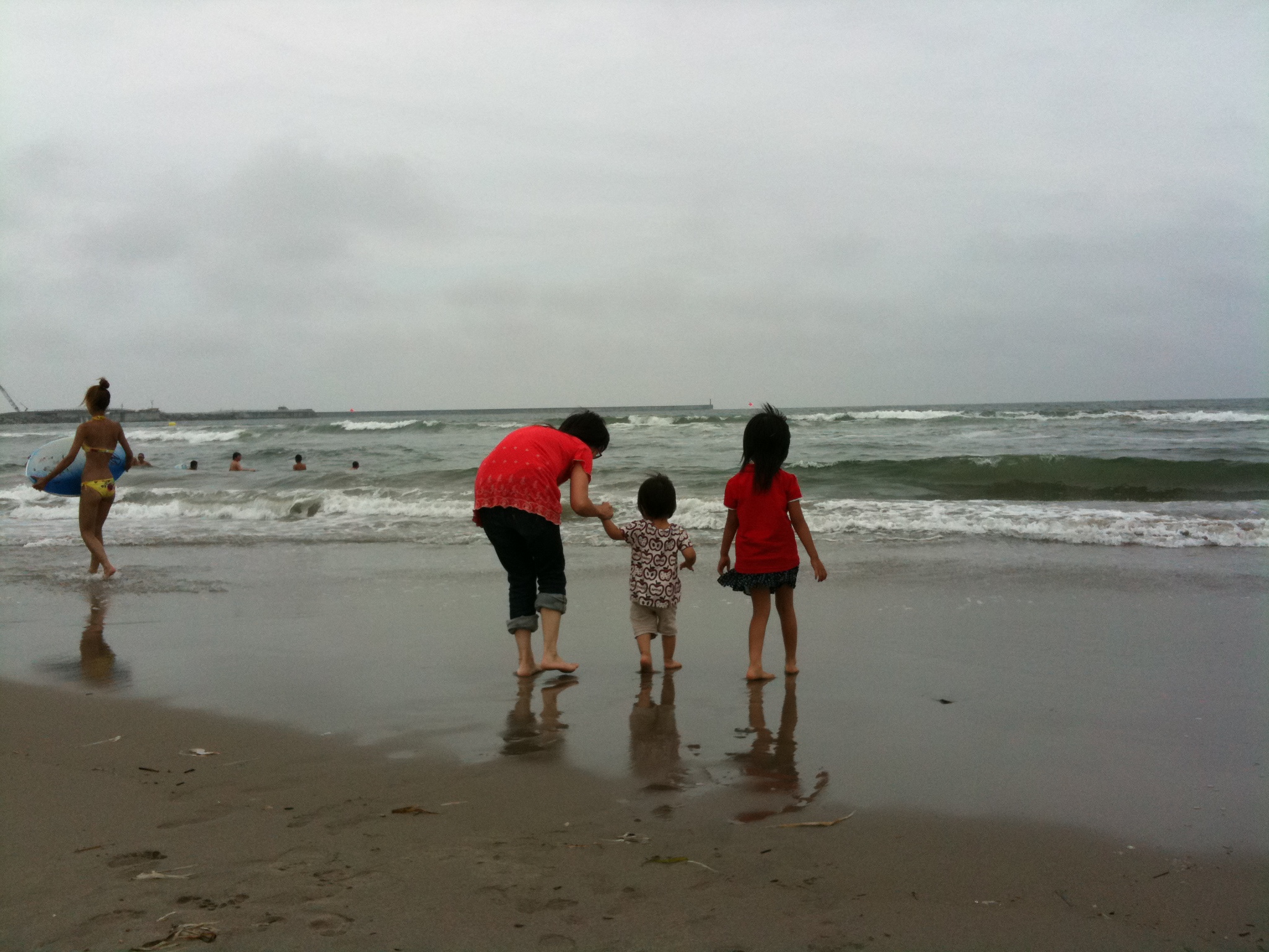
福島県 相馬市の海 震災前
CIMG0428.JPG
CIMG0429.JPG
CIMG0444.JPG
CIMG0970.JPG
CIMG0420.JPG
CIMG1122.JPG

CIMG0961.JPG
CIMG1133.JPG
CIMG0972.JPG
CIMG0962.JPG
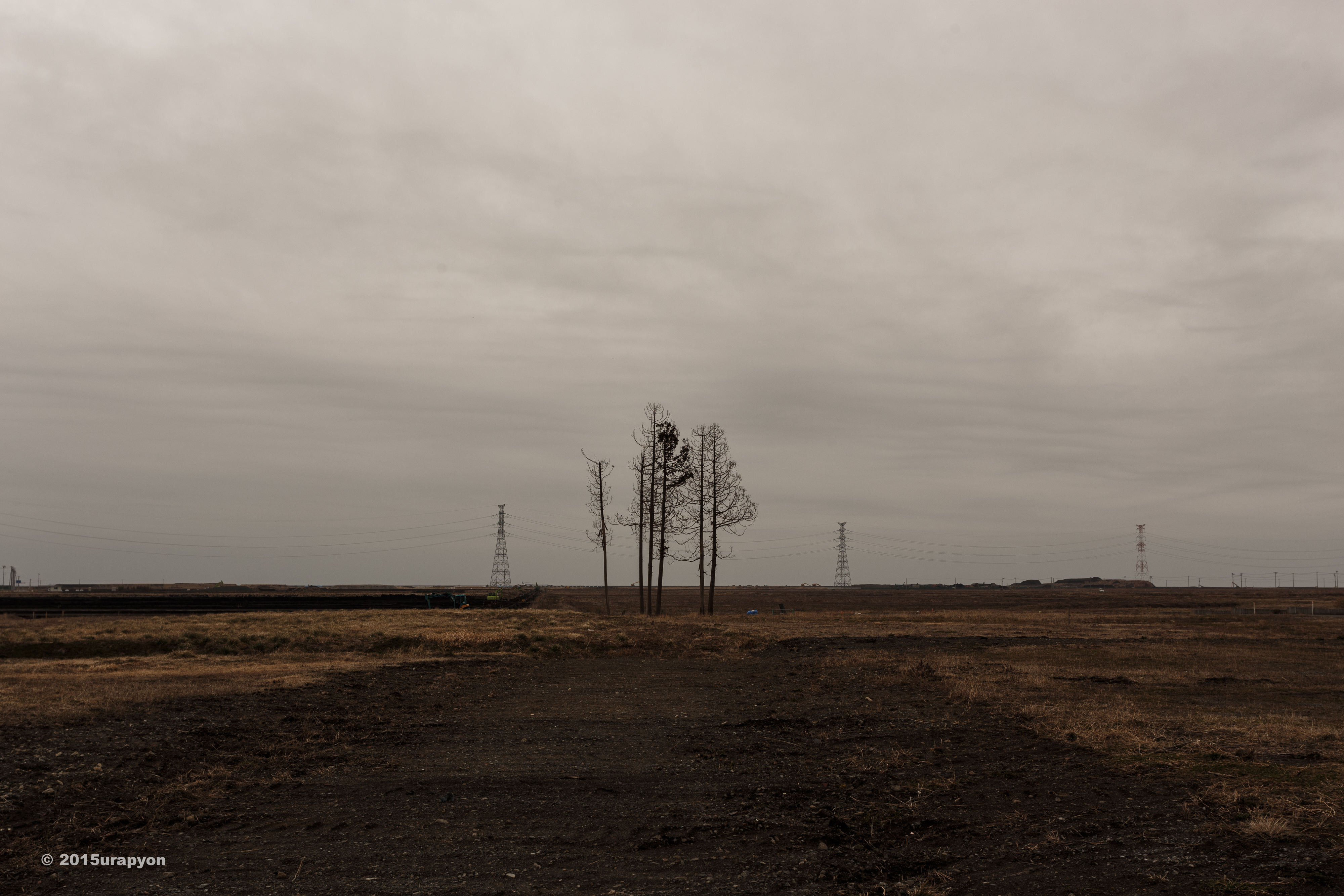
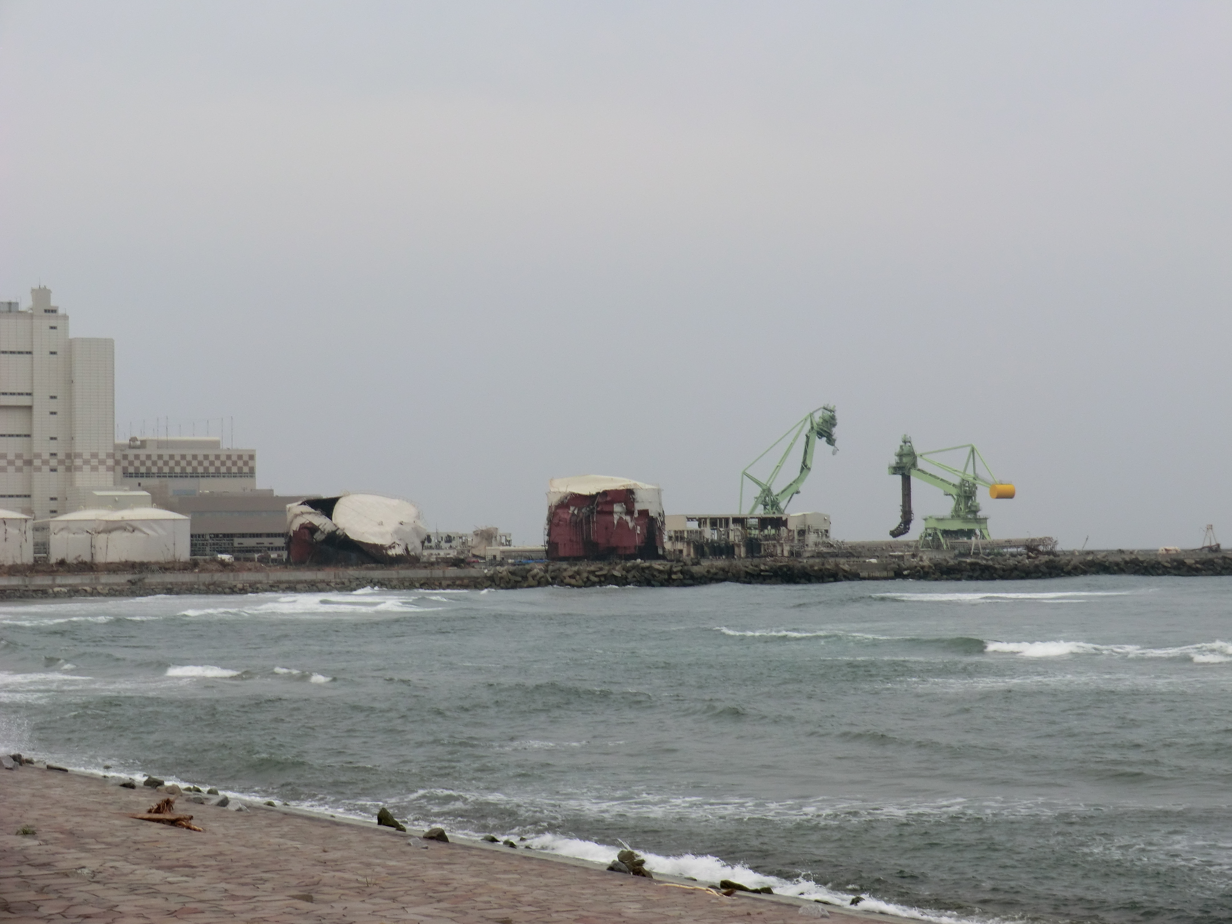
Minami Souma 南相馬市
CIMG1262.JPG

CIMG1146.JPG
IMG_1024.JPG
CIMG0963.JPG
CIMG0951.JPG
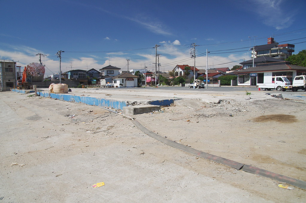
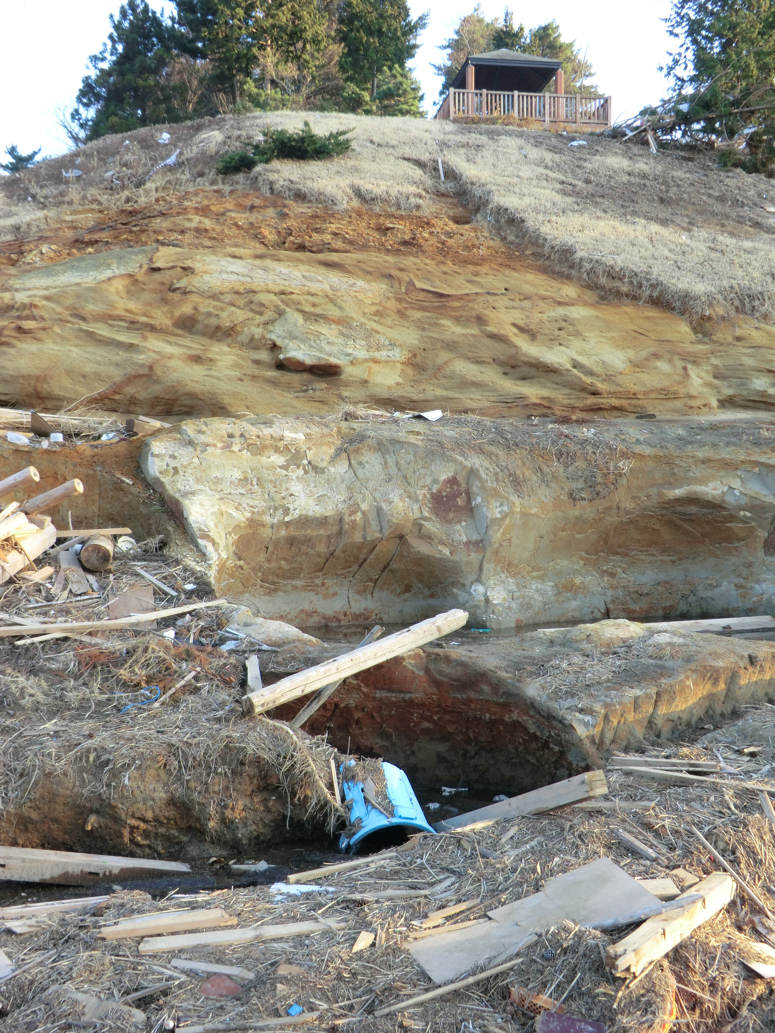
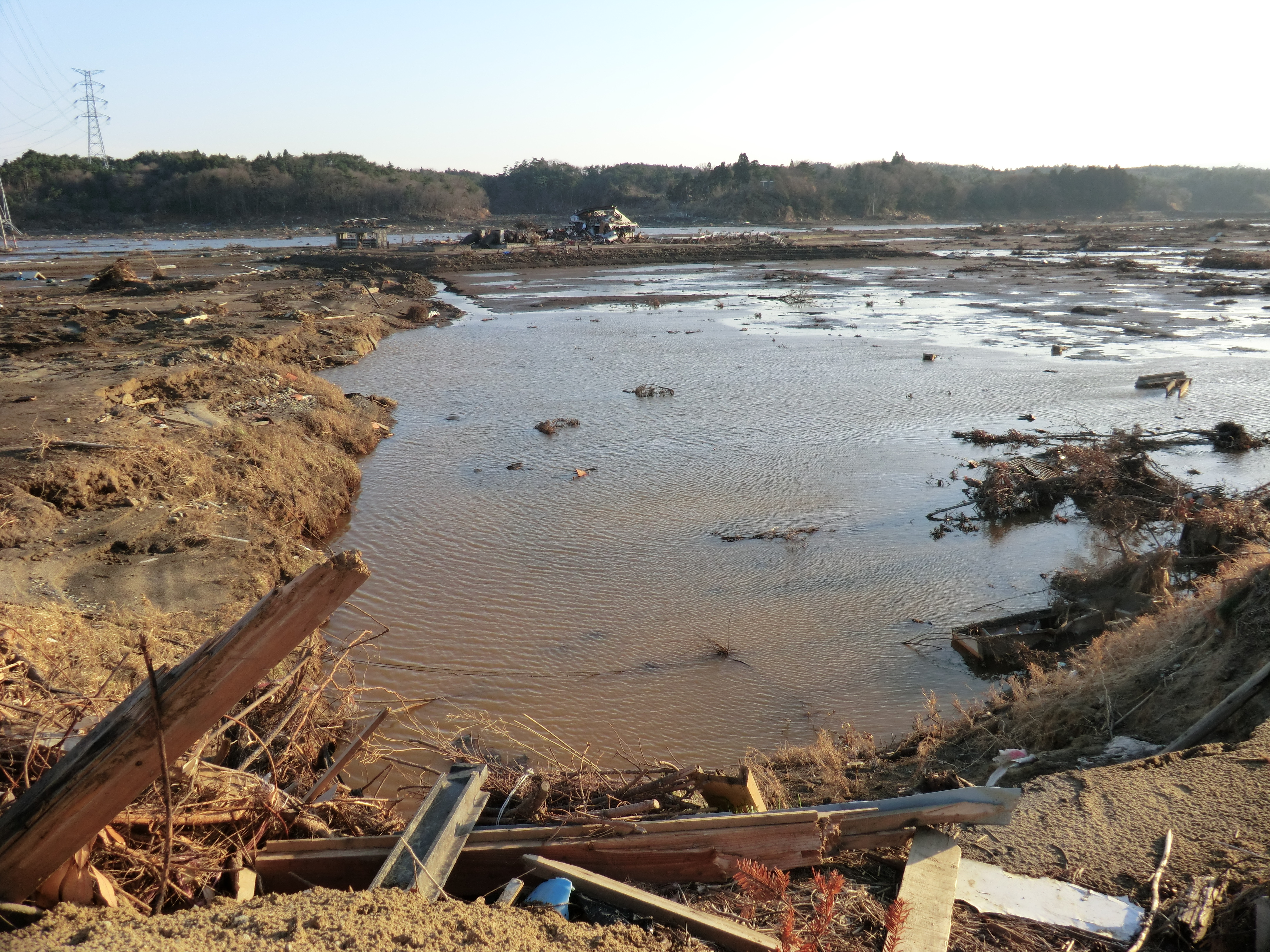
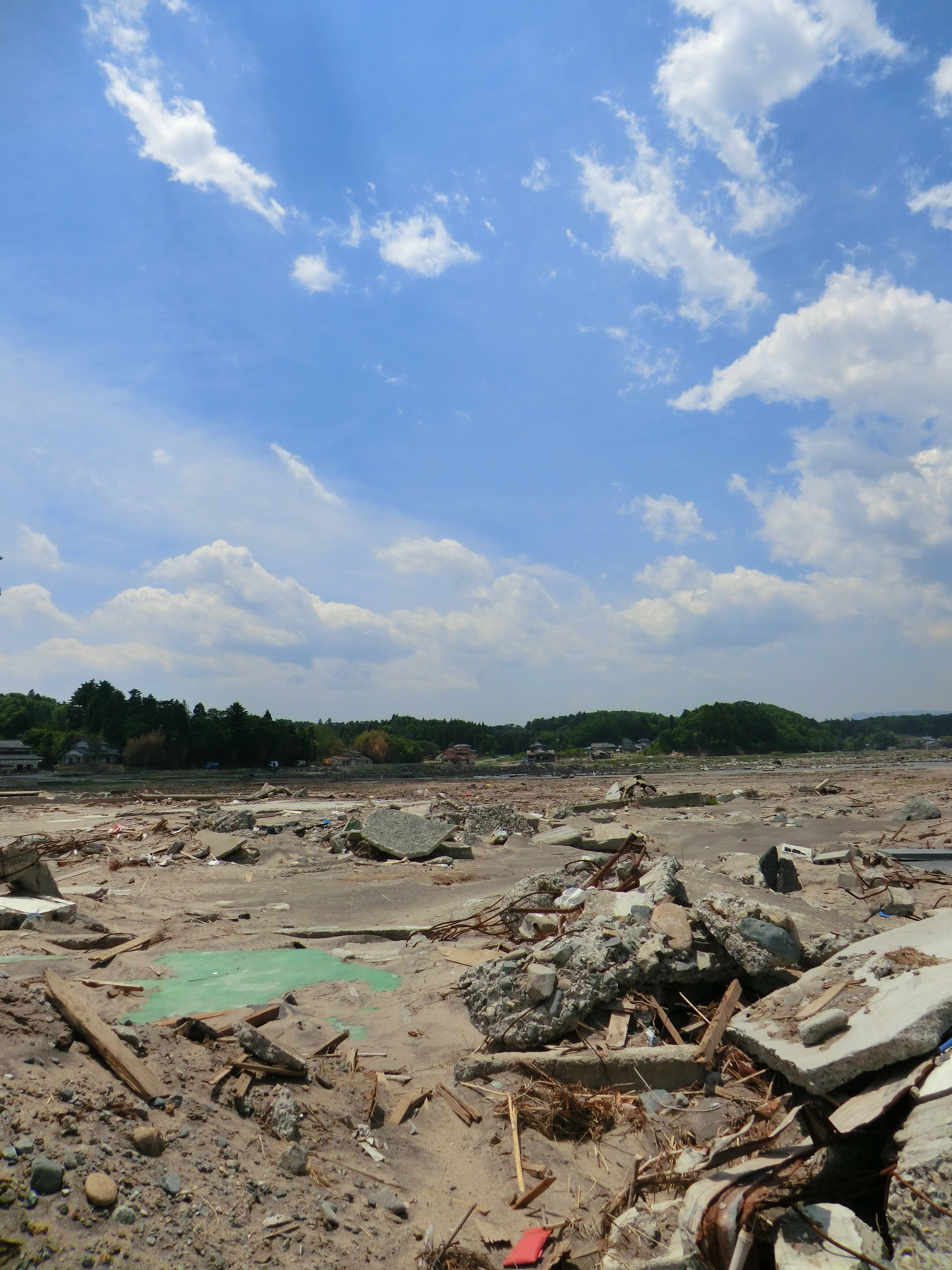
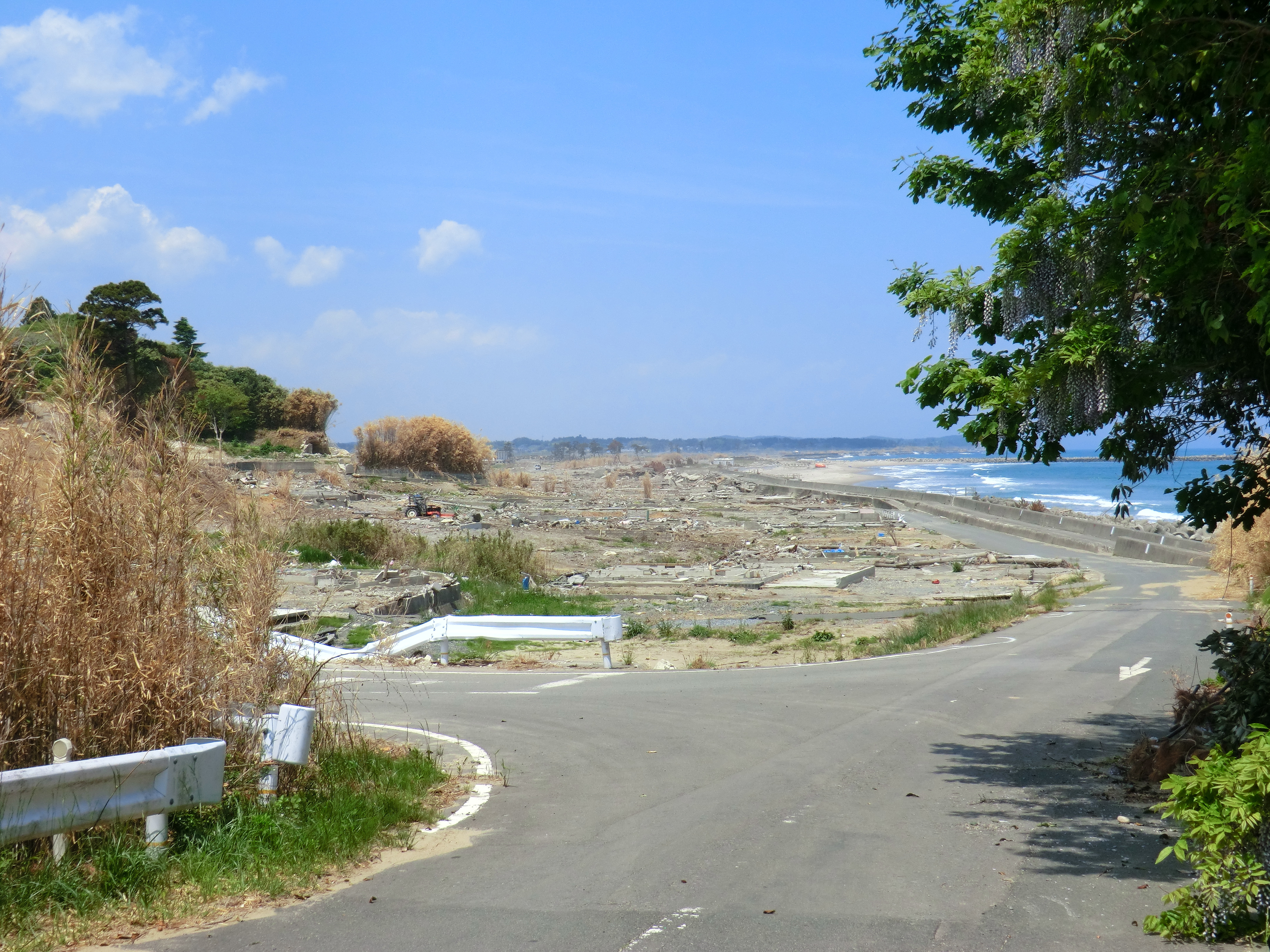
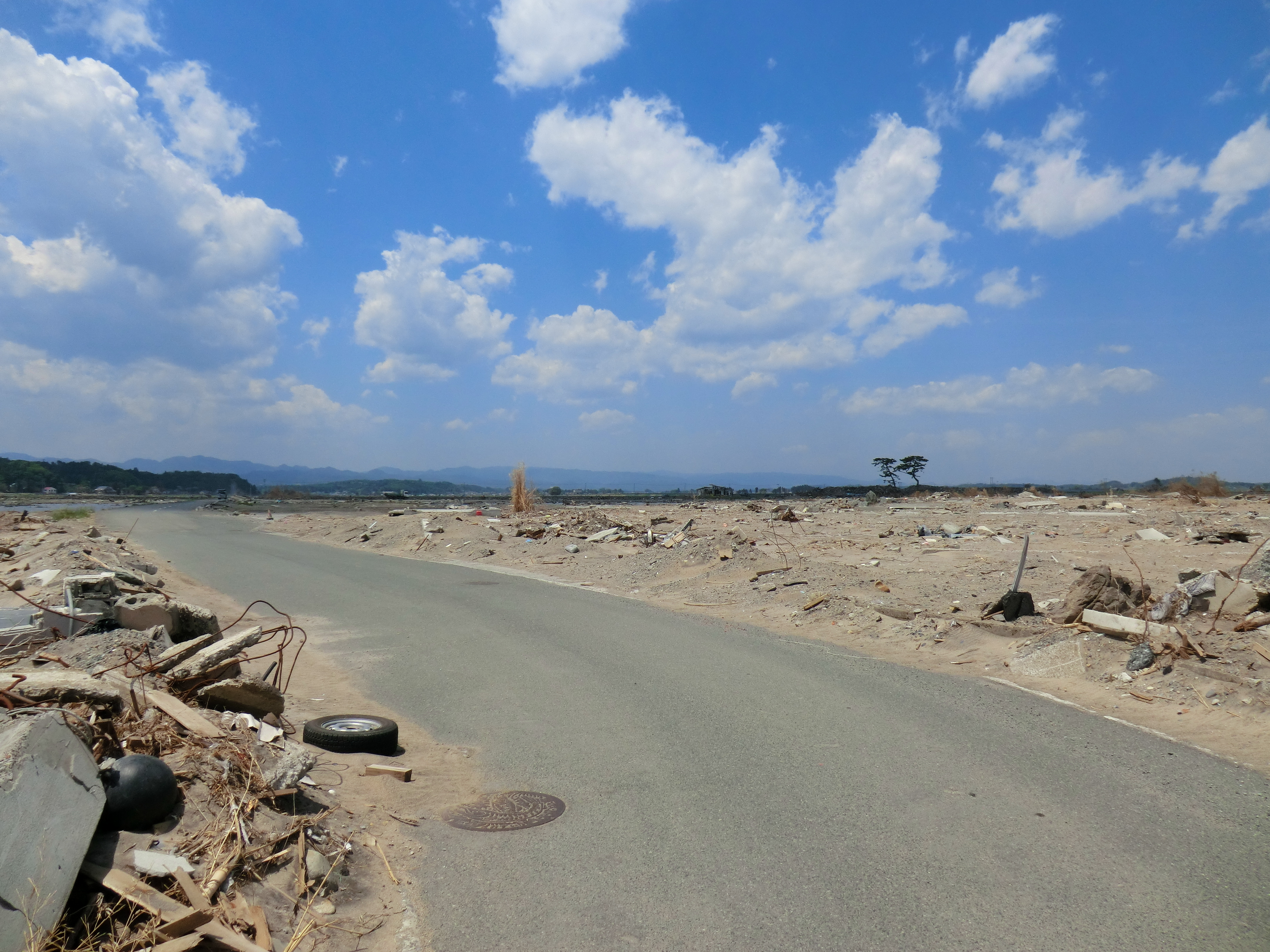
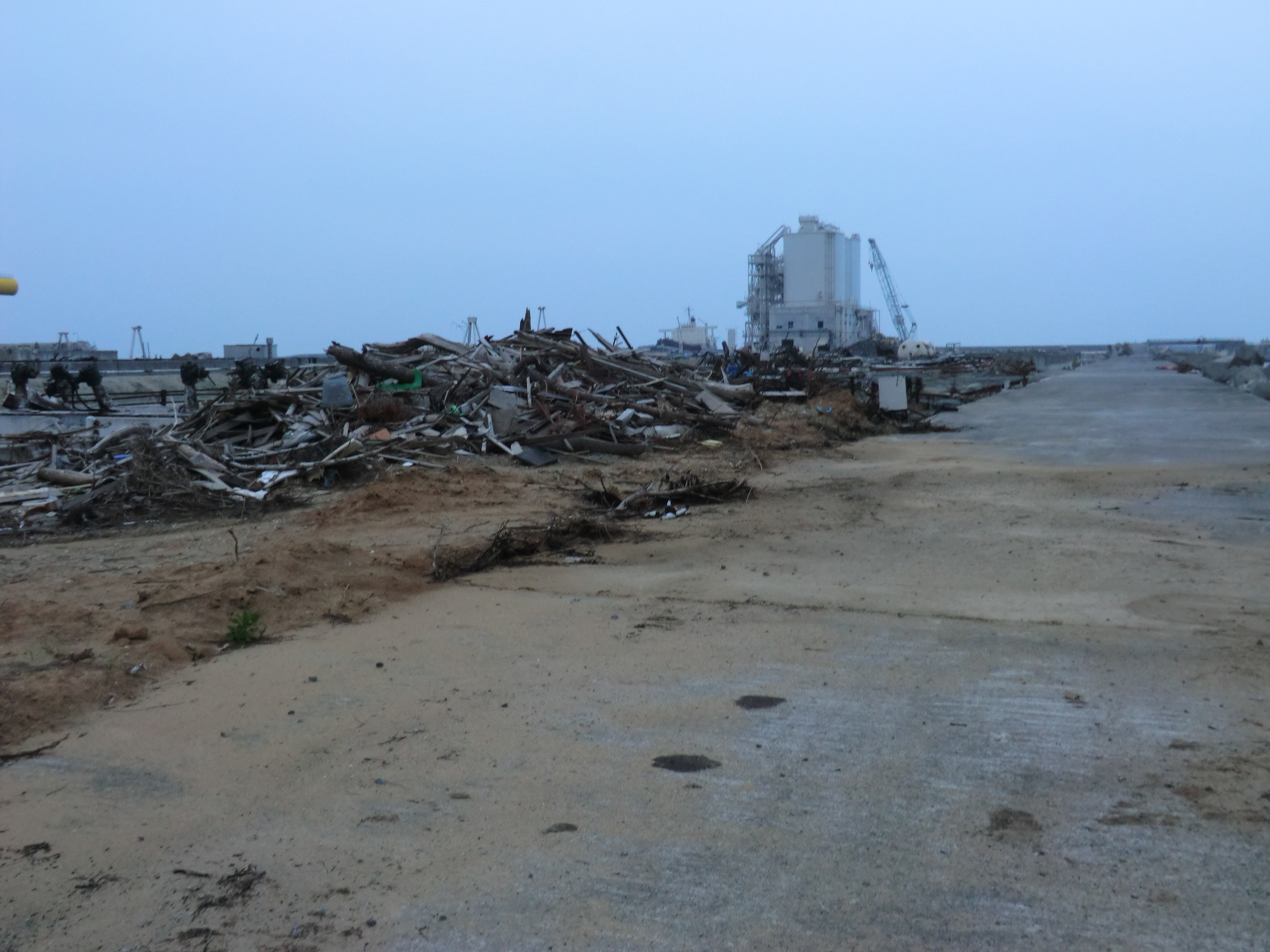
Damage of the tsunami in Sohma
CIMG1147.JPG
Topographic Map of Kamiukita- Kashimaku Ukita, Minamisōma-shi, Fukushima-ken -, Japan
Find elevation by address:

Places near Kamiukita- Kashimaku Ukita, Minamisōma-shi, Fukushima-ken -, Japan:
Inada- Kashimaku Yamashita, Minamisōma-shi, Fukushima-ken -, Japan
Toriida-28 Kashimaku Okawada, Minamisōma-shi, Fukushima-ken -, Japan
Nishinagawatari- Kashimaku Nagawatari, Minamisōma-shi, Fukushima-ken -, Japan
Takanosu-63 Kashimaku Terauchi, Minamisōma-shi, Fukushima-ken -, Japan
Nagata- Kashimaku Nagata, Minamisōma-shi, Fukushima-ken -, Japan
Hiroyachi-75 Akagi, Sōma-shi, Fukushima-ken -, Japan
Minamizawa-63 Tomizawa, Sōma-shi, Fukushima-ken -, Japan
Kamiasada-42 Kashimaku Minamiyunuki, Minamisōma-shi, Fukushima-ken -, Japan
Maehata-56 Kashimaku Minamiyakata, Minamisōma-shi, Fukushima-ken -, Japan
31 Kashimaku Asahi
フォレストガーデン柾
Minamisonegi-1 Kashimaku Shionosaki, Minamisōma-shi, Fukushima-ken -, Japan
Inarimae- Tachiya, Sōma-shi, Fukushima-ken -, Japan
Goanzawa- Tsubota, Sōma-shi, Fukushima-ken -, Japan
Kitakuwabara-37 Yunuki, Sōma-shi, Fukushima-ken -, Japan
Akasaka-12 Kashimaku Kawago, Minamisōma-shi, Fukushima-ken -, Japan
Iwaanamae--12 Babano, Sōma-shi, Fukushima-ken -, Japan
Dobu-59 Imada, Sōma-shi, Fukushima-ken -, Japan
Funabashi- Narita, Sōma-shi, Fukushima-ken -, Japan
Nakadai- Kashiwazaki, Sōma-shi, Fukushima-ken -, Japan
Recent Searches:
- Elevation of Royal Ontario Museum, Queens Park, Toronto, ON M5S 2C6, Canada
- Elevation of Groblershoop, South Africa
- Elevation of Power Generation Enterprises | Industrial Diesel Generators, Oak Ave, Canyon Country, CA, USA
- Elevation of Chesaw Rd, Oroville, WA, USA
- Elevation of N, Mt Pleasant, UT, USA
- Elevation of 6 Rue Jules Ferry, Beausoleil, France
- Elevation of Sattva Horizon, 4JC6+G9P, Vinayak Nagar, Kattigenahalli, Bengaluru, Karnataka, India
- Elevation of Great Brook Sports, Gold Star Hwy, Groton, CT, USA
- Elevation of 10 Mountain Laurels Dr, Nashua, NH, USA
- Elevation of 16 Gilboa Ln, Nashua, NH, USA