Elevation of Minamisoma, Fukushima Prefecture, Japan
Location: Japan > Fukushima Prefecture >
Longitude: 140.957275
Latitude: 37.6421608
Elevation: 32m / 105feet
Barometric Pressure: 101KPa
Elevation Map:
Satellite Map:
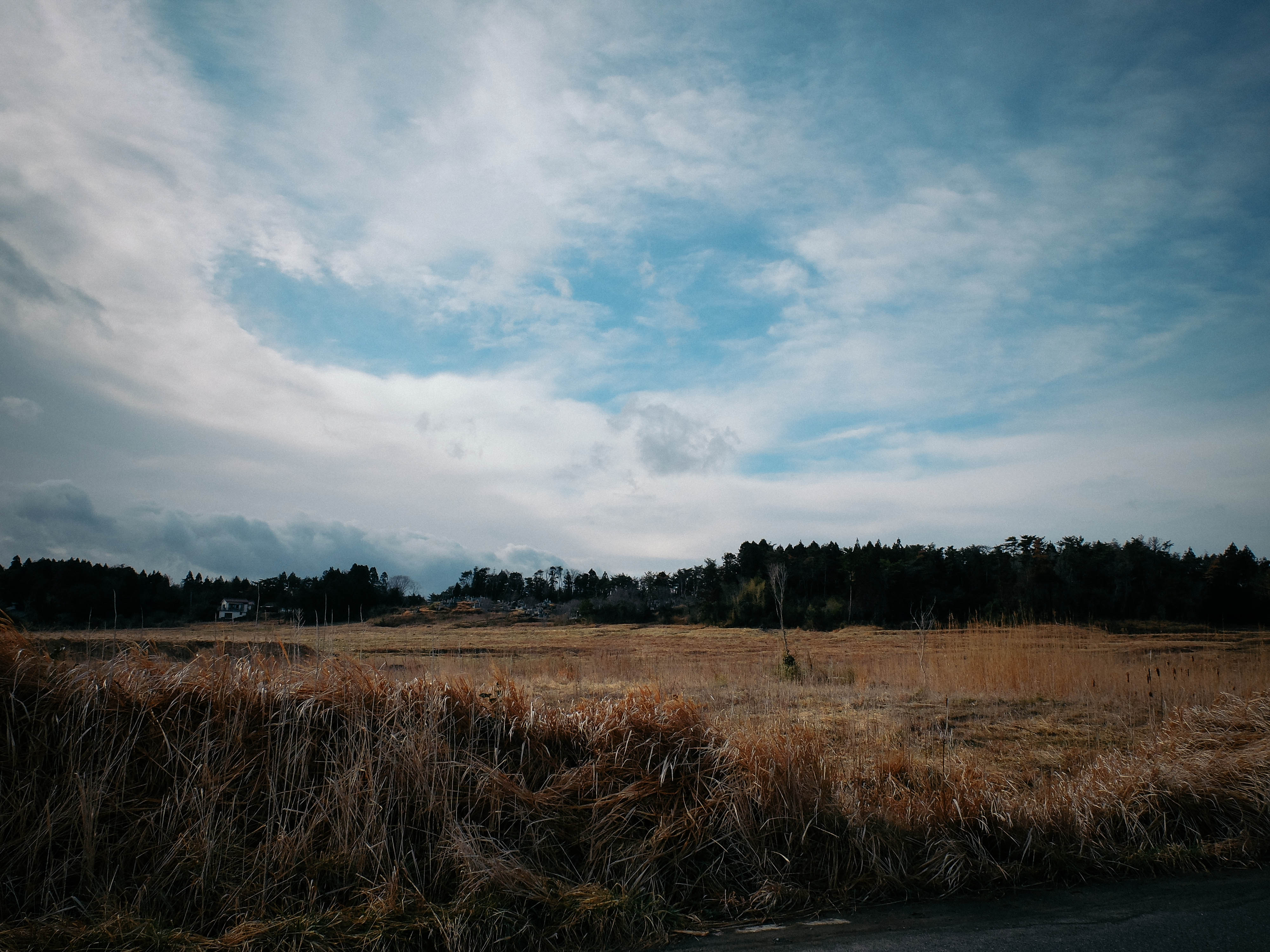
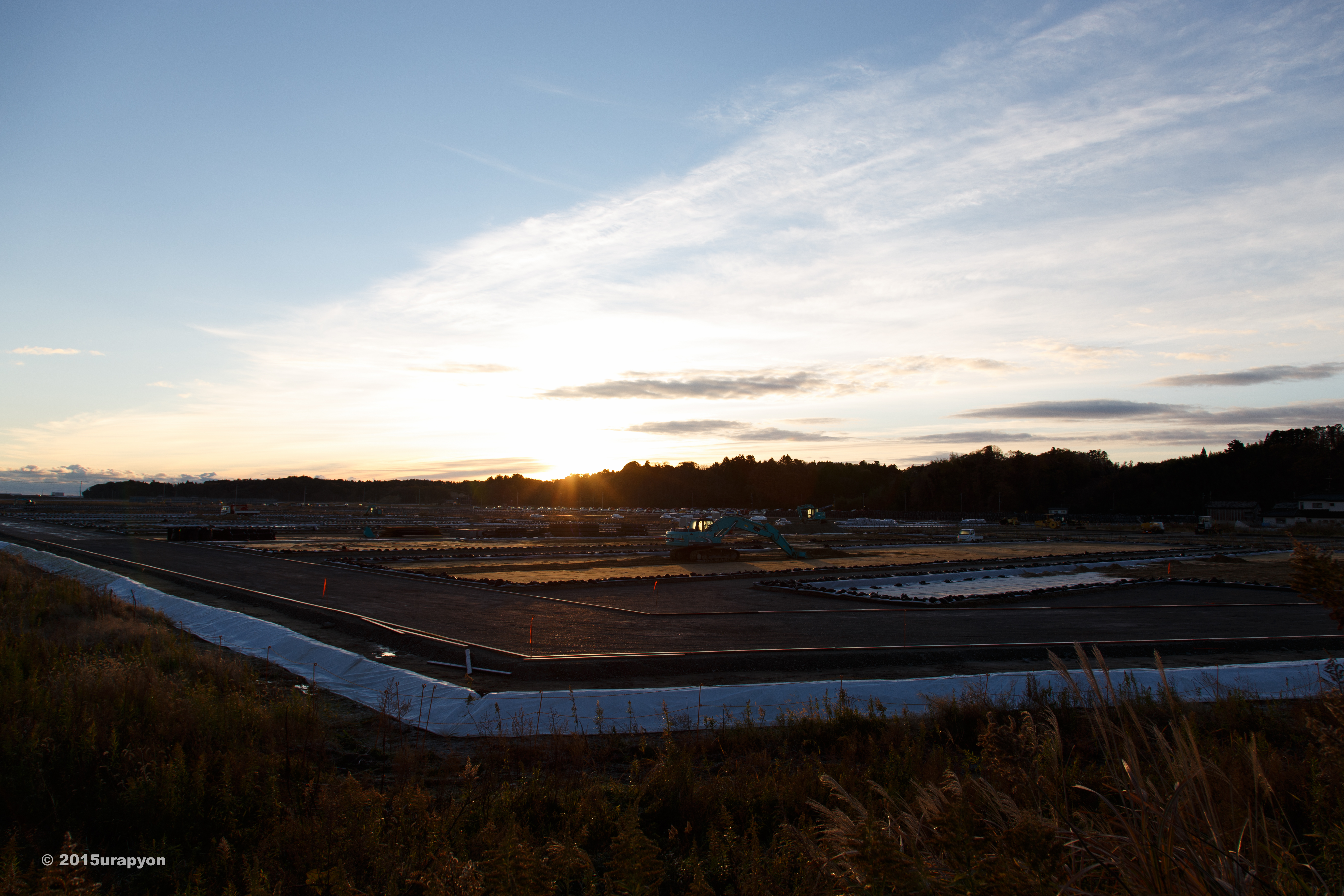
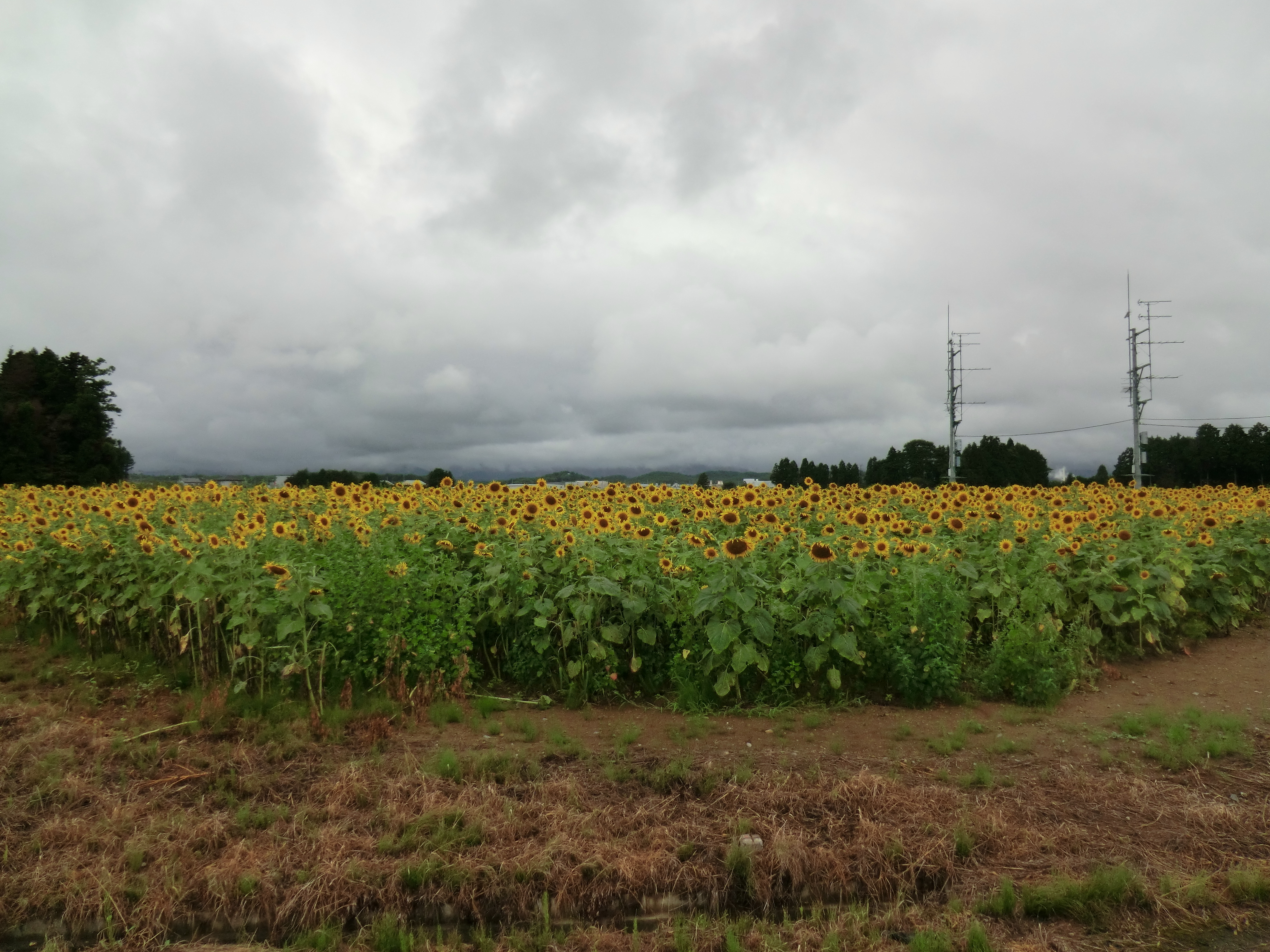
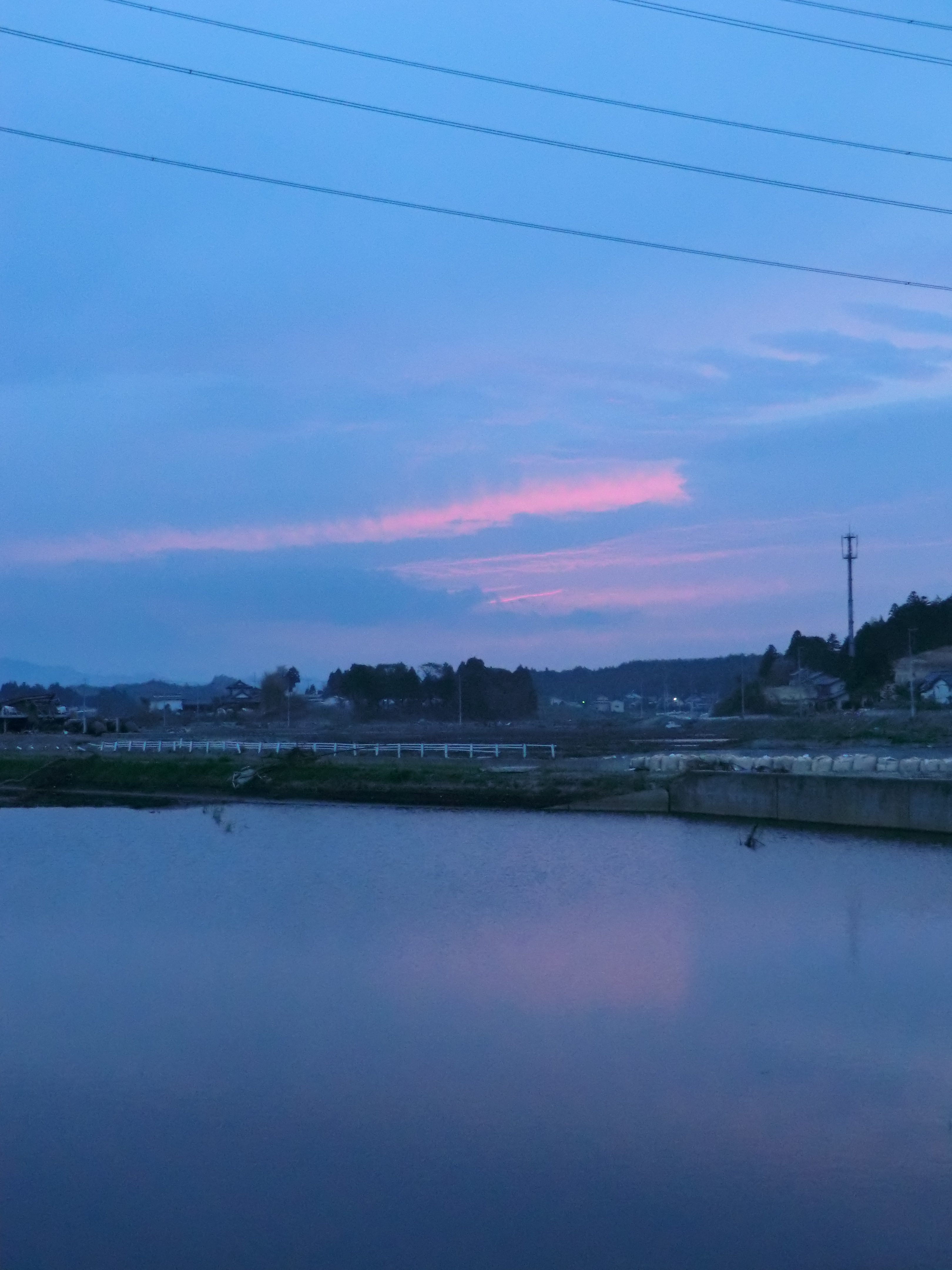
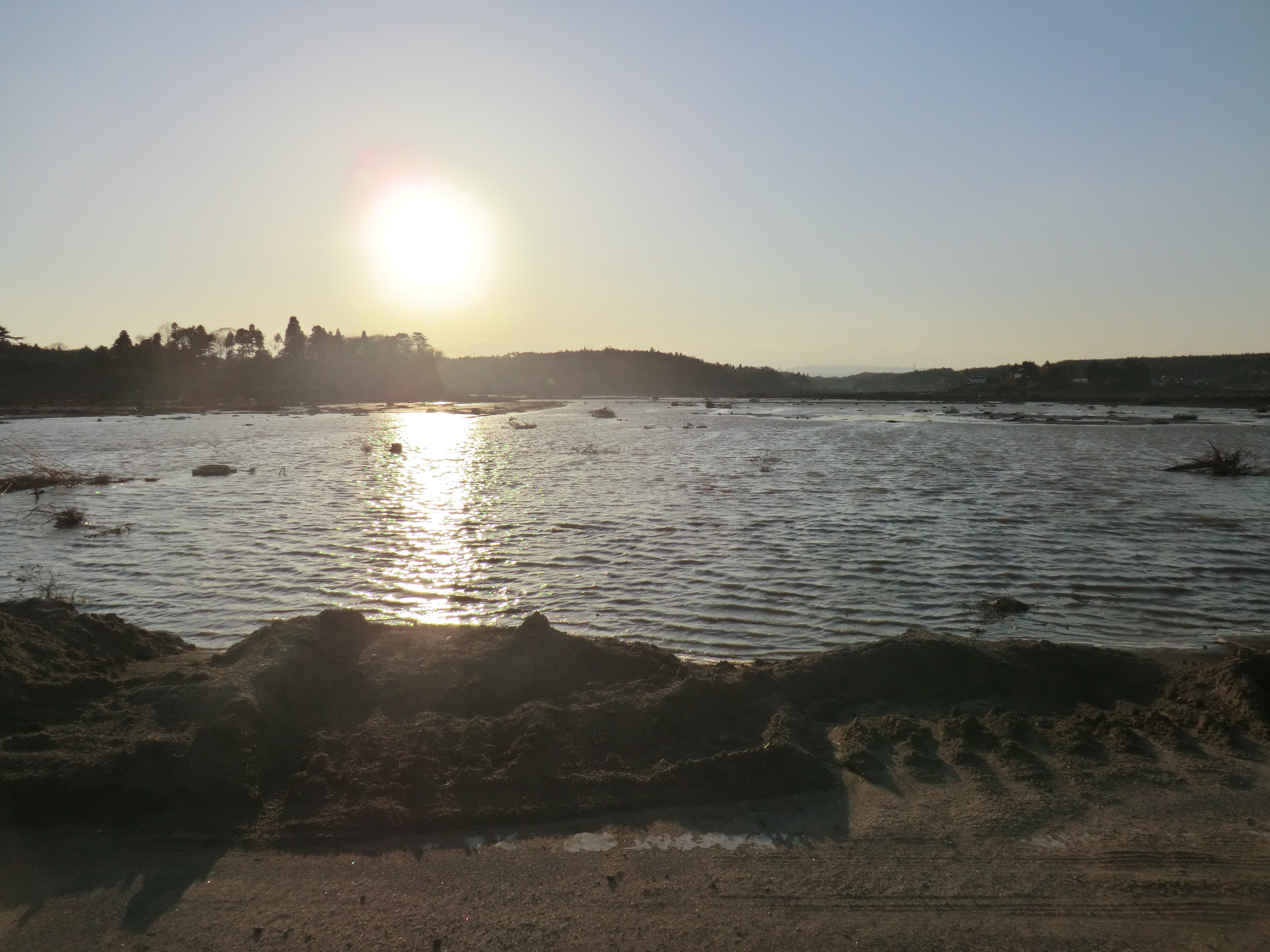
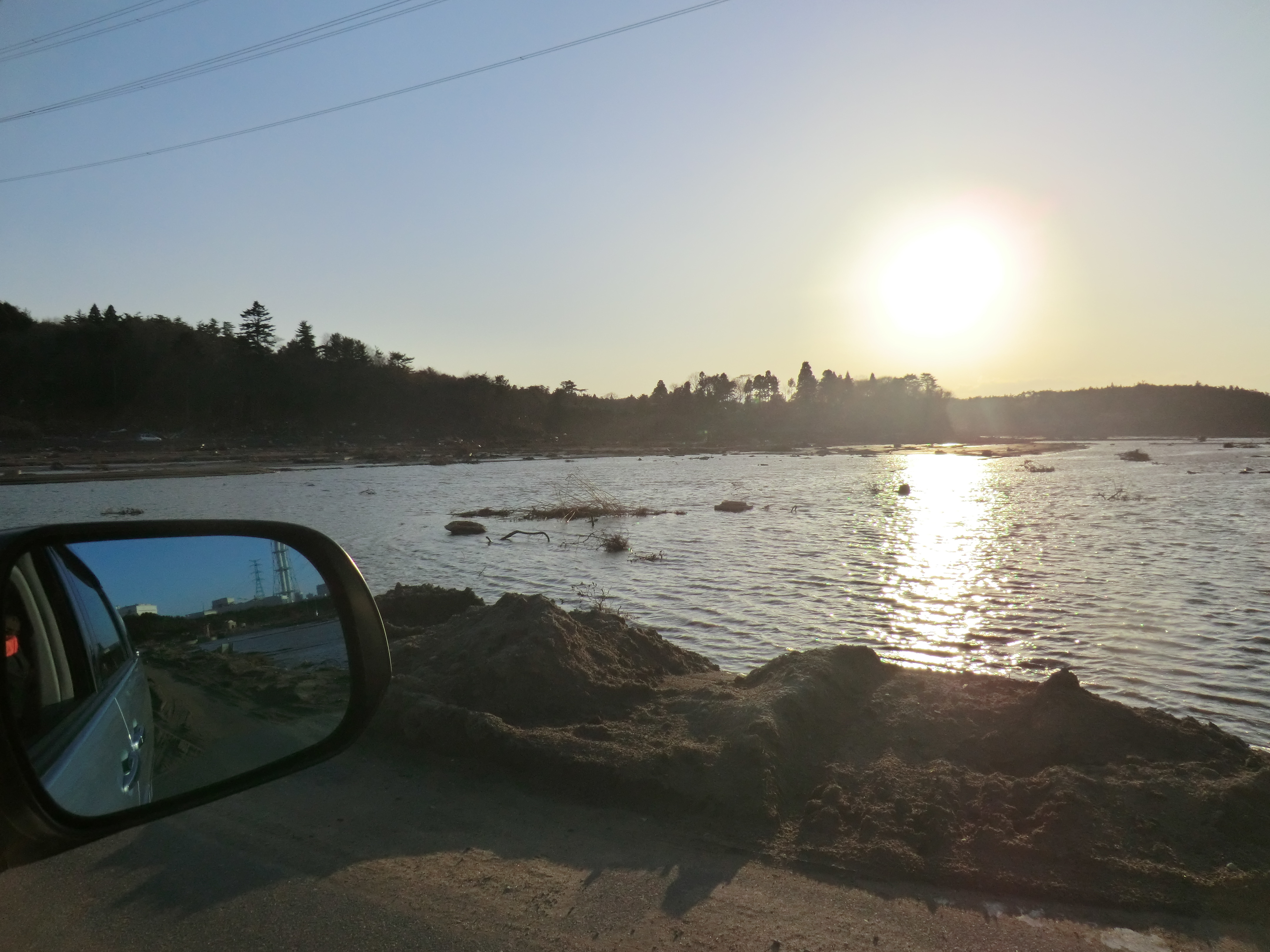
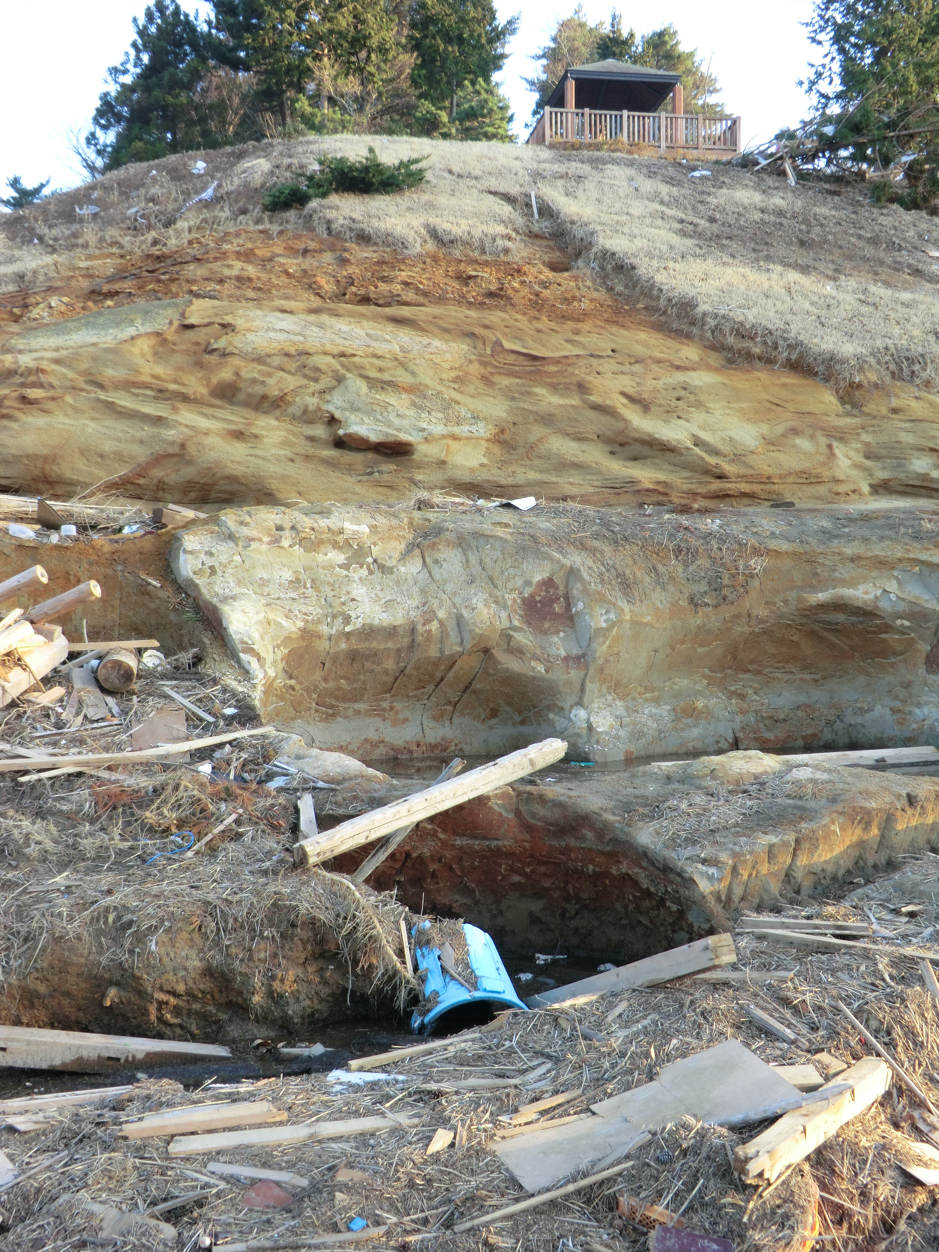
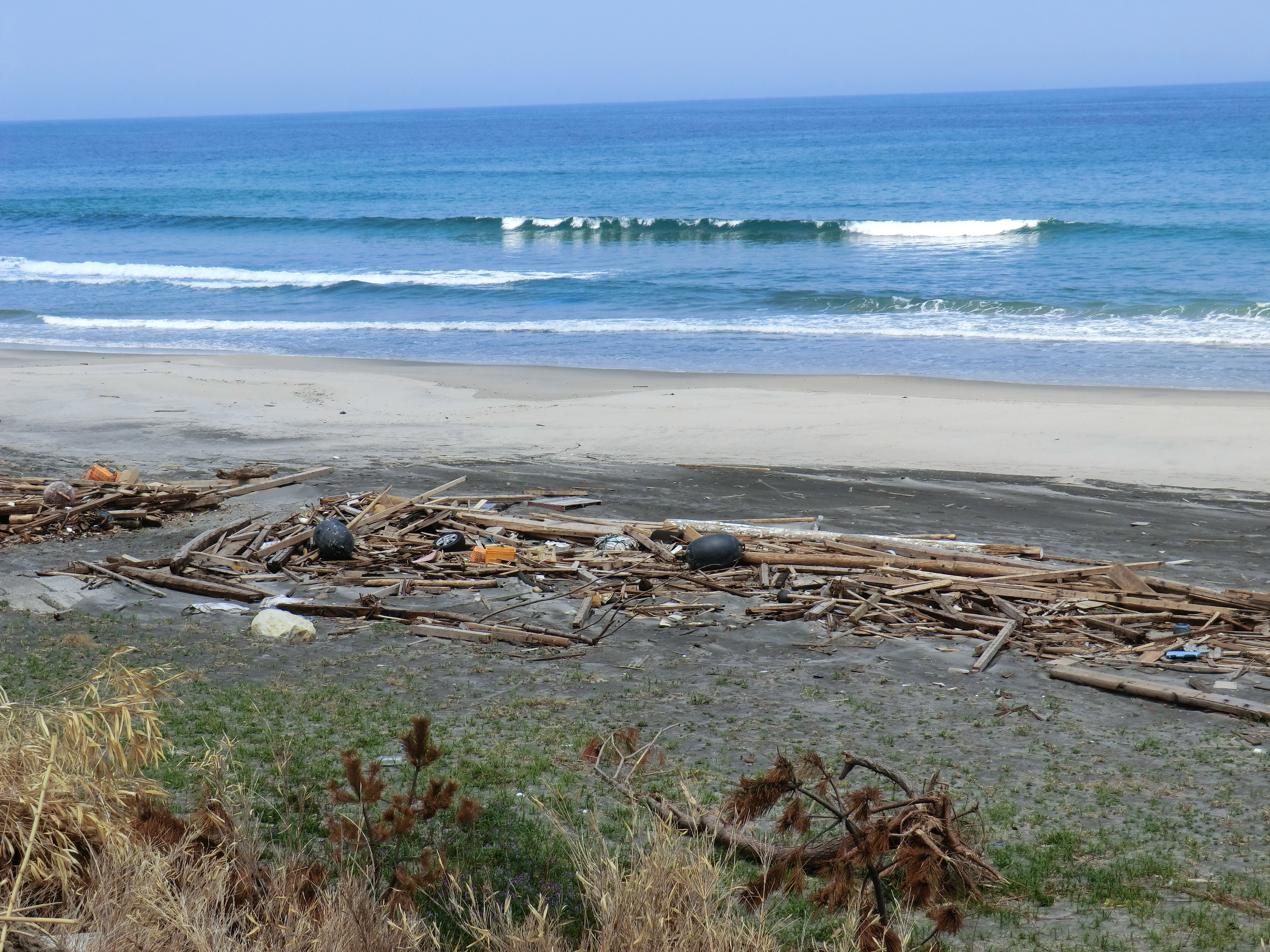
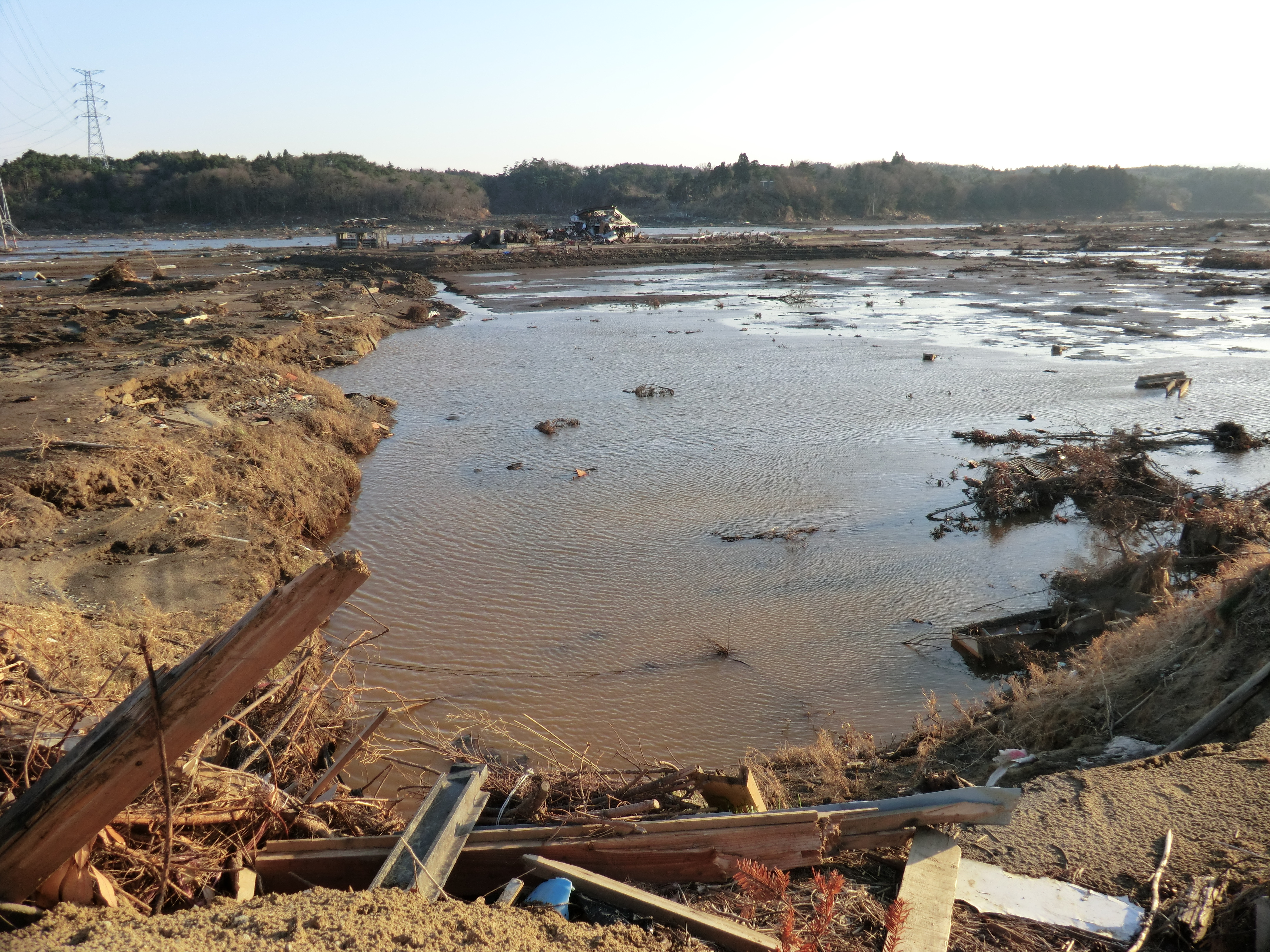
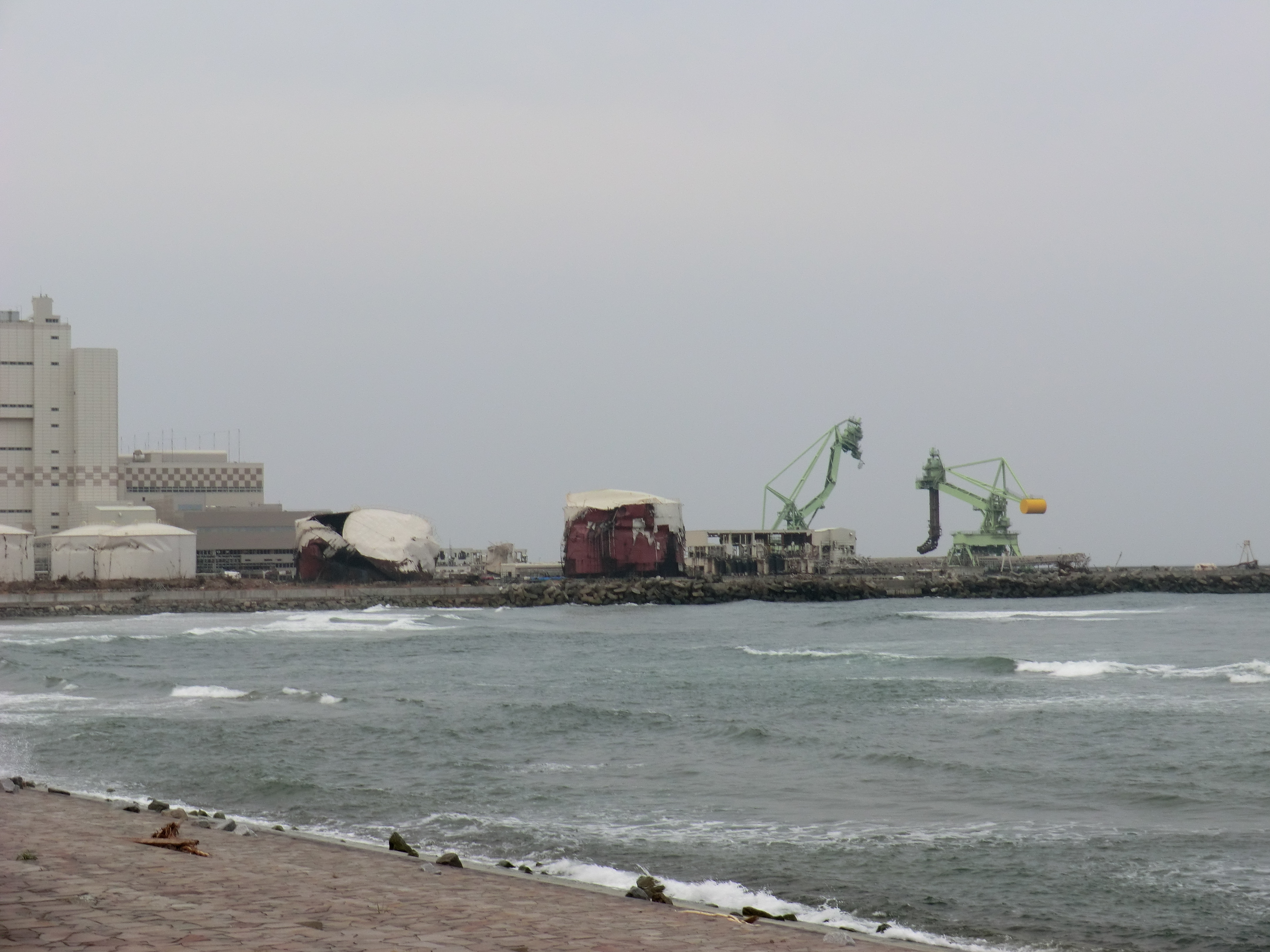
Related Photos:

one's old home
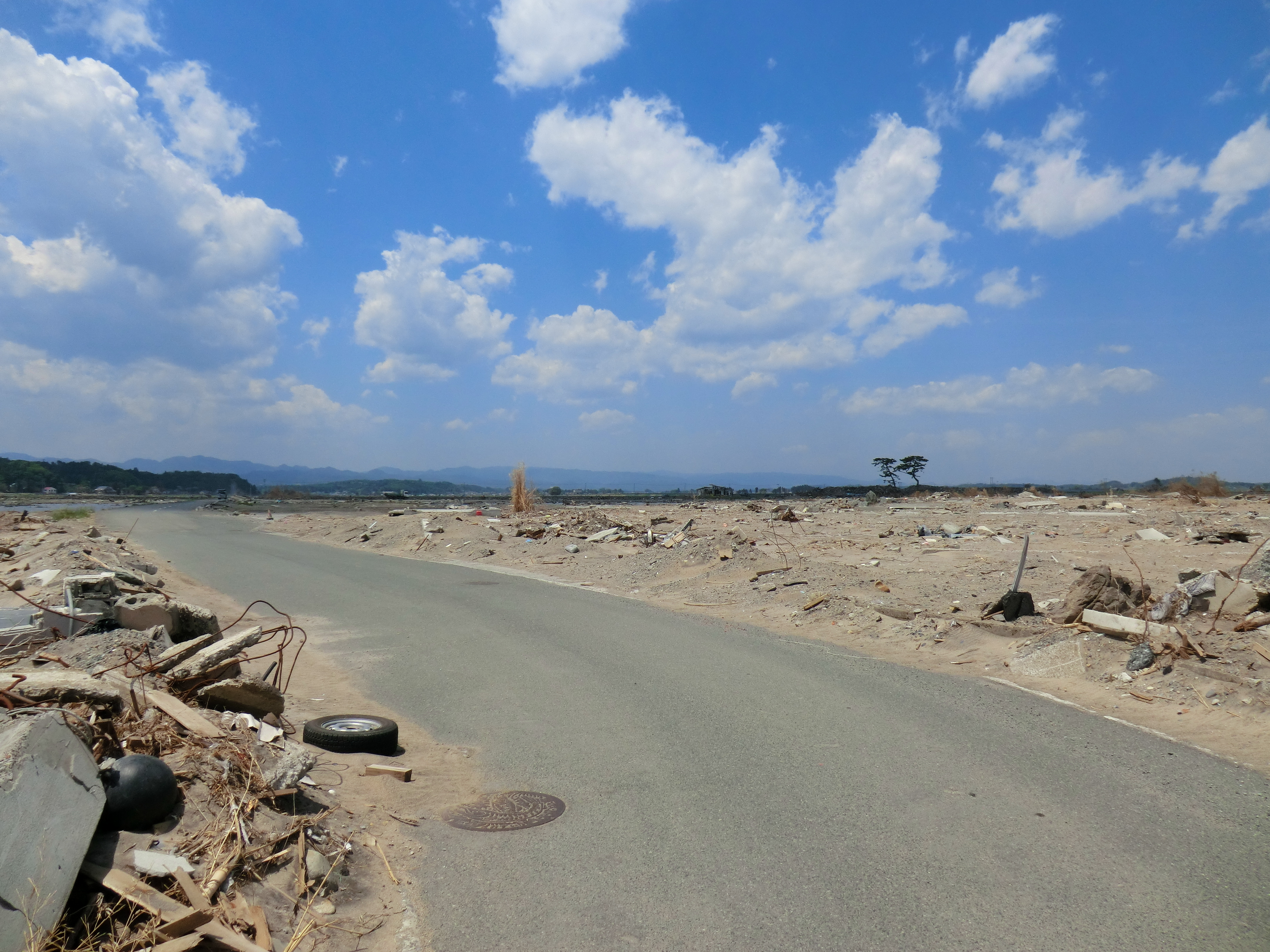
Day 310/365
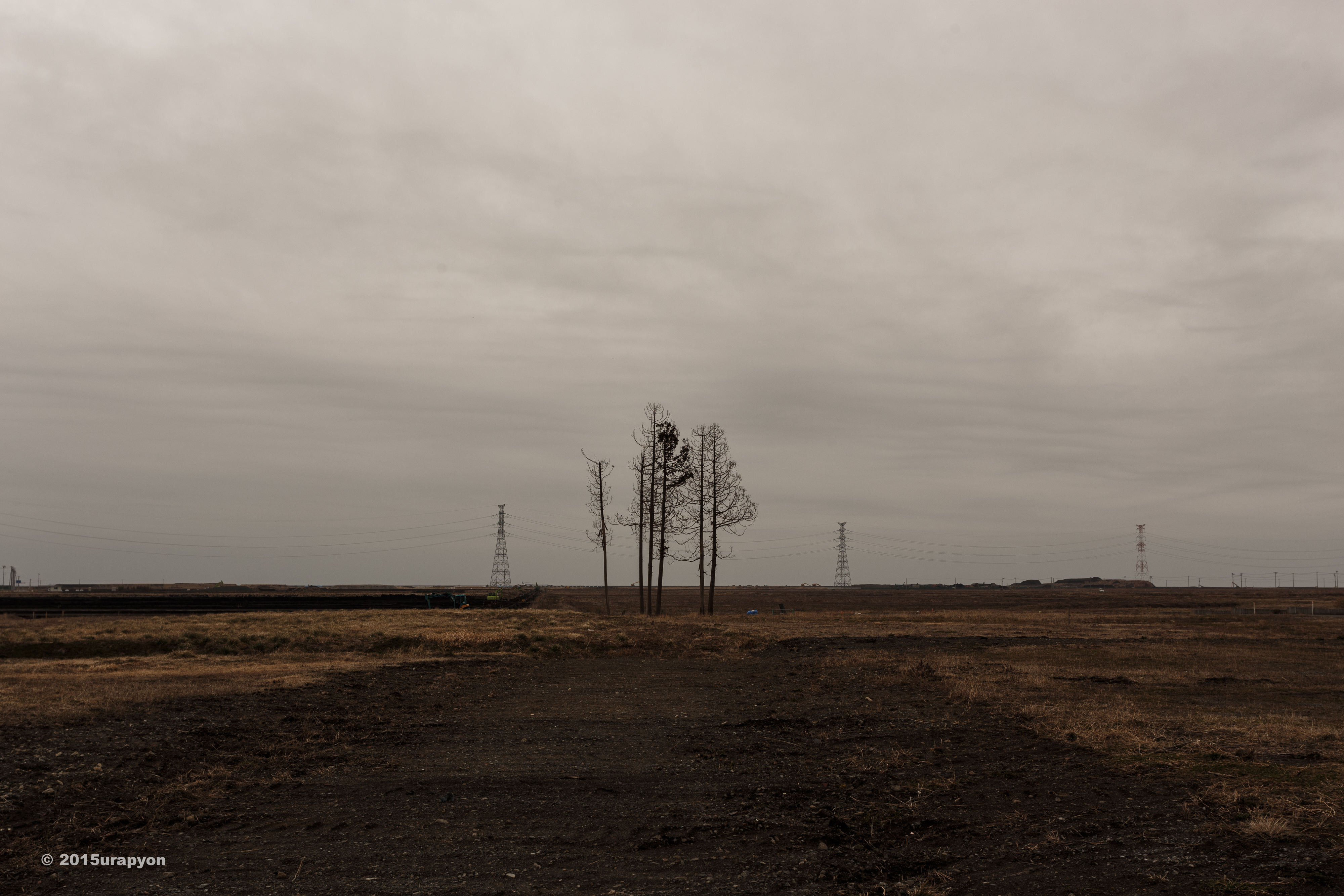
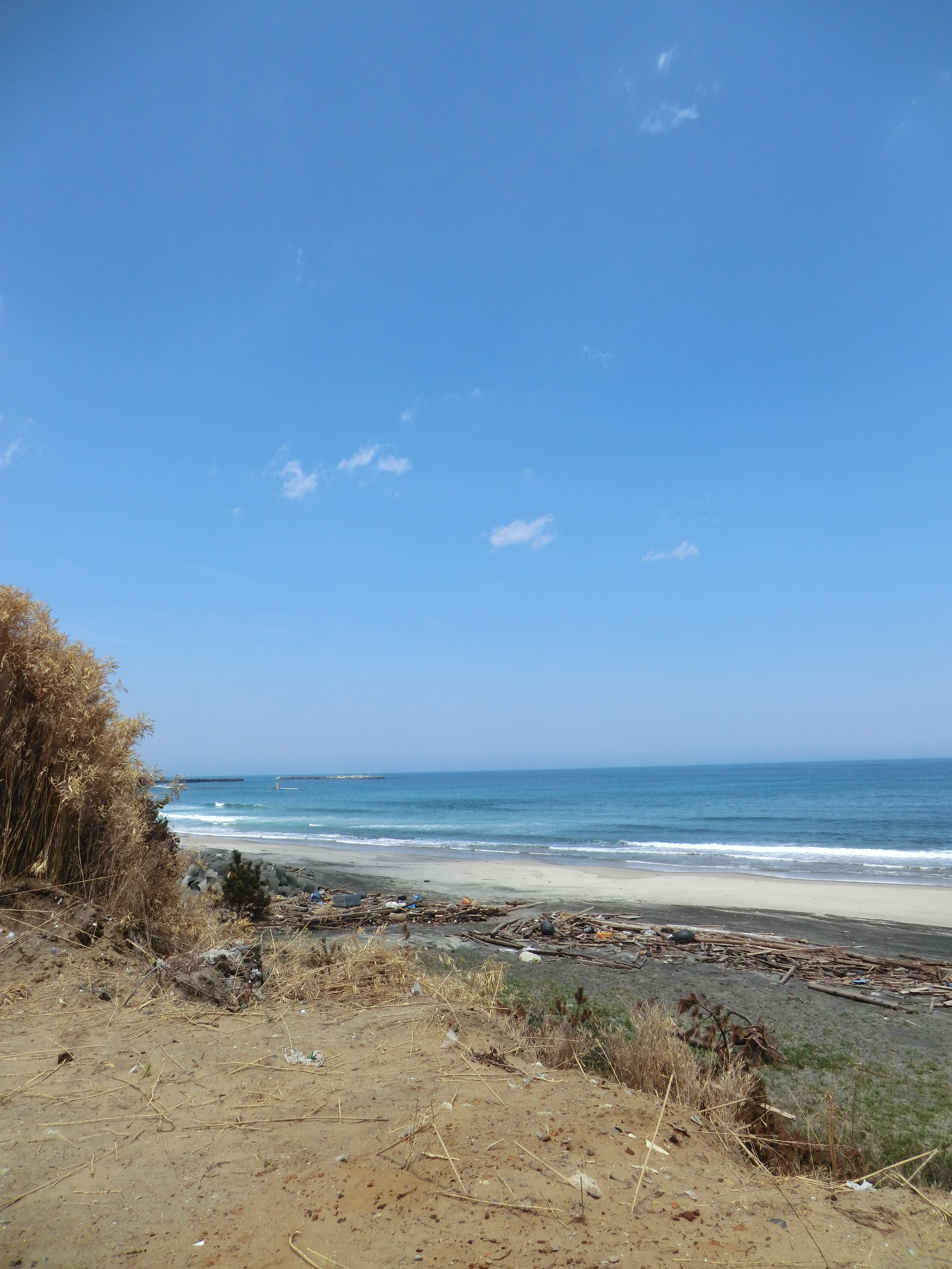
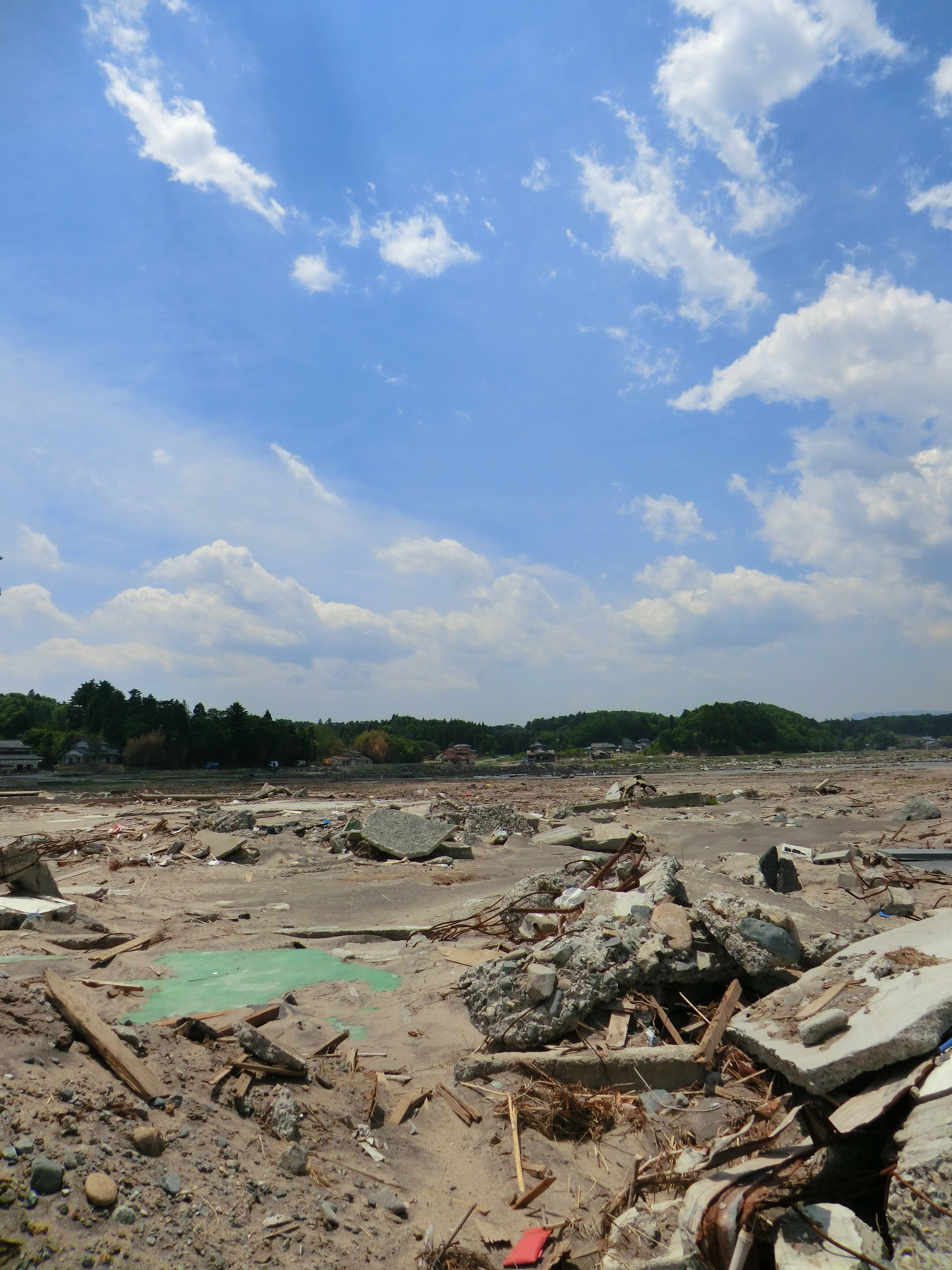
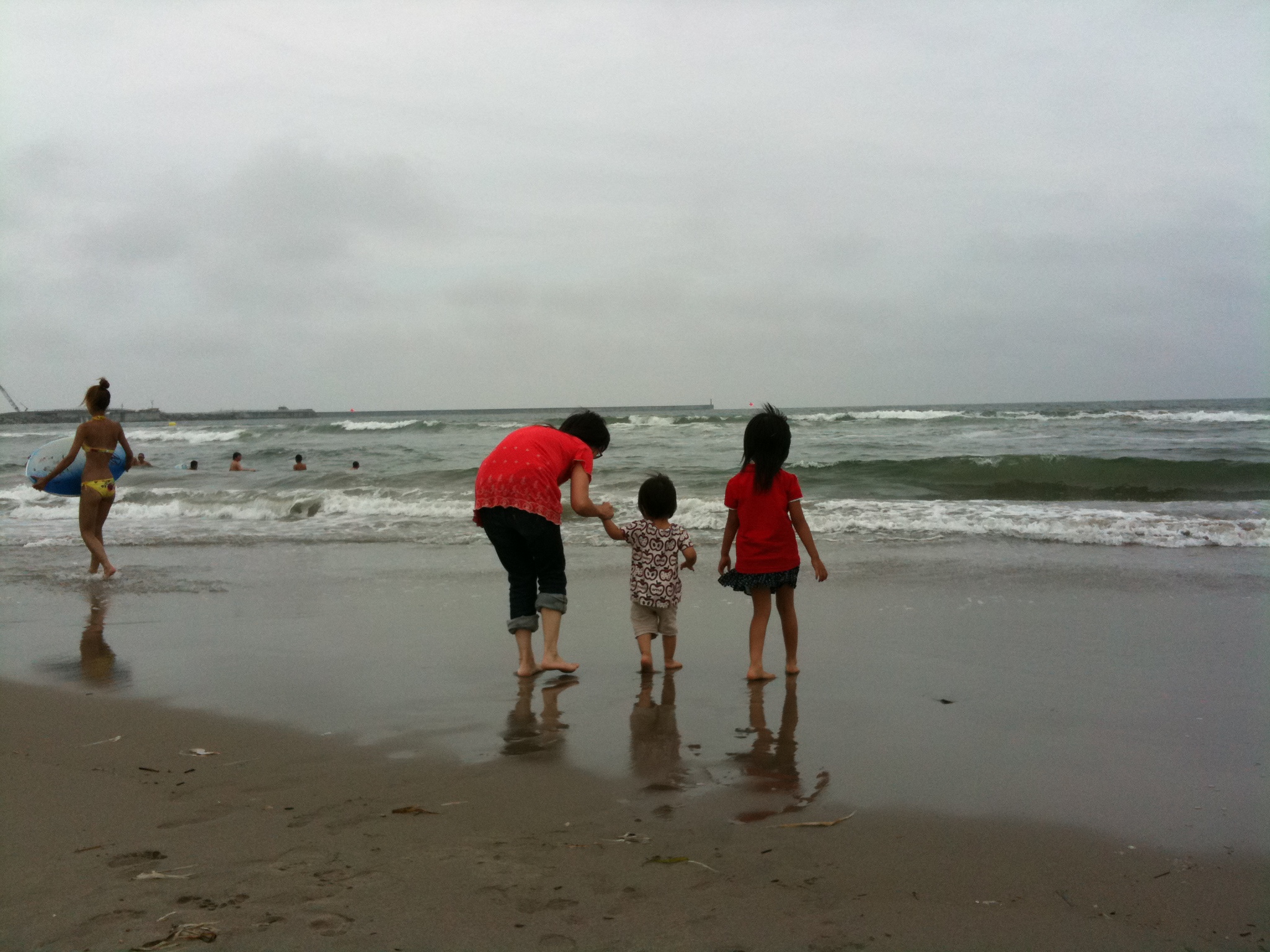
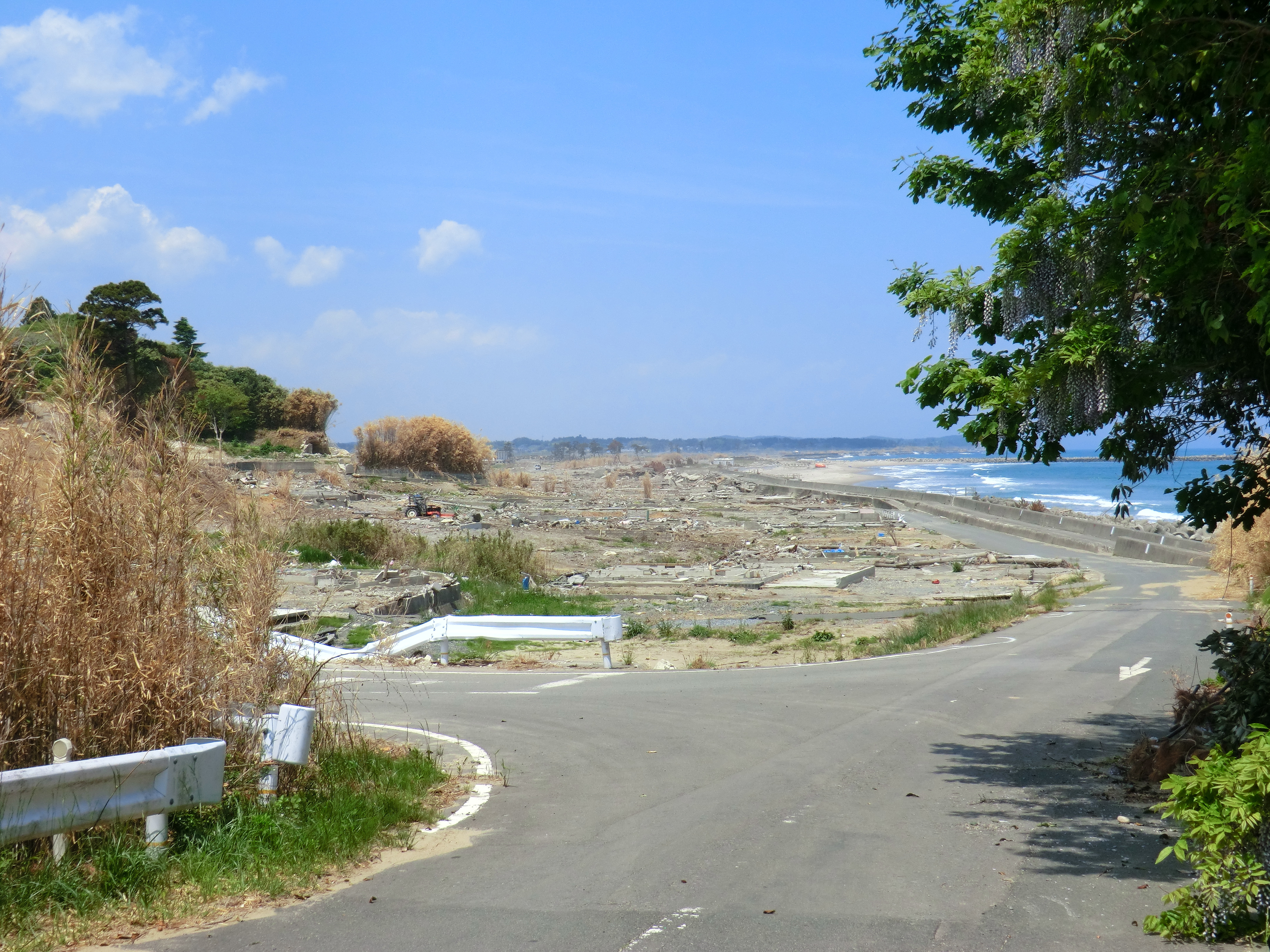
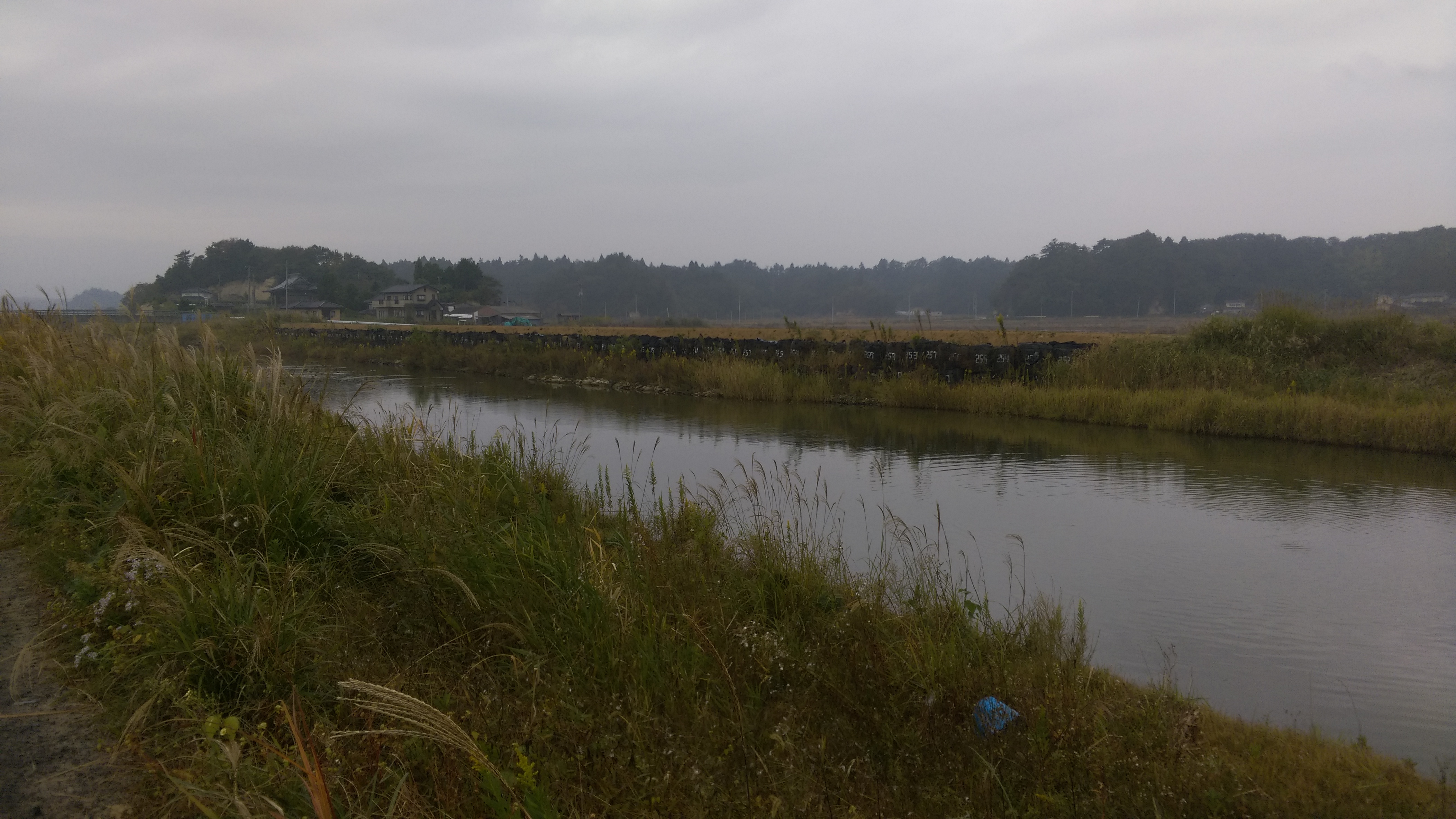
Minami Souma 南相馬市
南相馬市の除染廃棄物仮置き場
CIMG1262.JPG
CIMG1155.JPG
CIMG0428.JPG
CIMG0429.JPG
CIMG0444.JPG
CIMG0970.JPG
CIMG0420.JPG
CIMG1122.JPG

CIMG0961.JPG
CIMG1133.JPG
CIMG0972.JPG
CIMG0962.JPG

CIMG1146.JPG
IMG_1024.JPG
CIMG0963.JPG
CIMG0951.JPG
Collecting sediment samples in the vicinity of Fukushima Daiichi Nuclear Power plant
Topographic Map of Minamisoma, Fukushima Prefecture, Japan
Find elevation by address:

Places in Minamisoma, Fukushima Prefecture, Japan:
Miyamae- Kashimaku Ōuchi, Minamisōma-shi, Fukushima-ken -, Japan
Nishiyachi-57 Odakaku Murakami, Minamisōma-shi, Fukushima-ken -, Japan
Akasaka-12 Kashimaku Kawago, Minamisōma-shi, Fukushima-ken -, Japan
Nagata- Kashimaku Nagata, Minamisōma-shi, Fukushima-ken -, Japan
Nishinagawatari- Kashimaku Nagawatari, Minamisōma-shi, Fukushima-ken -, Japan
Minamisonegi-1 Kashimaku Shionosaki, Minamisōma-shi, Fukushima-ken -, Japan
Numanoue-65 Odakaku Tsukabara, Minamisōma-shi, Fukushima-ken -, Japan
Numakita- Kashimaku Kitayakata, Minamisōma-shi, Fukushima-ken -, Japan
Takanosu-63 Kashimaku Terauchi, Minamisōma-shi, Fukushima-ken -, Japan
Nakayaji-5 Kashimaku Minamiebi, Minamisōma-shi, Fukushima-ken -, Japan
Kamiukita- Kashimaku Ukita, Minamisōma-shi, Fukushima-ken -, Japan
Kamiasada-42 Kashimaku Minamiyunuki, Minamisōma-shi, Fukushima-ken -, Japan
Buiri-54 Odakaku Ebisawa, Minamisōma-shi, Fukushima-ken -, Japan
Minamiyachi- Kashimaku Karasuzaki, Minamisōma-shi, Fukushima-ken -, Japan
Toriida-28 Kashimaku Okawada, Minamisōma-shi, Fukushima-ken -, Japan
Maehata-56 Kashimaku Minamiyakata, Minamisōma-shi, Fukushima-ken -, Japan
Kitahata-2 Kashimaku Kitaebi, Minamisōma-shi, Fukushima-ken -, Japan
Places near Minamisoma, Fukushima Prefecture, Japan:
Minamisonegi-1 Kashimaku Shionosaki, Minamisōma-shi, Fukushima-ken -, Japan
Akasaka-12 Kashimaku Kawago, Minamisōma-shi, Fukushima-ken -, Japan
Takanosu-63 Kashimaku Terauchi, Minamisōma-shi, Fukushima-ken -, Japan
31 Kashimaku Asahi
フォレストガーデン柾
Toriida-28 Kashimaku Okawada, Minamisōma-shi, Fukushima-ken -, Japan
Maehata-56 Kashimaku Minamiyakata, Minamisōma-shi, Fukushima-ken -, Japan
Nagata- Kashimaku Nagata, Minamisōma-shi, Fukushima-ken -, Japan
Kamiukita- Kashimaku Ukita, Minamisōma-shi, Fukushima-ken -, Japan
Kamiasada-42 Kashimaku Minamiyunuki, Minamisōma-shi, Fukushima-ken -, Japan
Nishinagawatari- Kashimaku Nagawatari, Minamisōma-shi, Fukushima-ken -, Japan
Inada- Kashimaku Yamashita, Minamisōma-shi, Fukushima-ken -, Japan
Kitakuwabara-37 Yunuki, Sōma-shi, Fukushima-ken -, Japan
Hiroyachi-75 Akagi, Sōma-shi, Fukushima-ken -, Japan
Minamizawa-63 Tomizawa, Sōma-shi, Fukushima-ken -, Japan
Inarimae- Tachiya, Sōma-shi, Fukushima-ken -, Japan
Goanzawa- Tsubota, Sōma-shi, Fukushima-ken -, Japan
Nakadai- Kashiwazaki, Sōma-shi, Fukushima-ken -, Japan
Kozutsumi- Hodota, Sōma-shi, Fukushima-ken -, Japan
Iwaanamae--12 Babano, Sōma-shi, Fukushima-ken -, Japan
Recent Searches:
- Elevation of Zu den Ihlowbergen, Althüttendorf, Germany
- Elevation of Badaber, Peshawar, Khyber Pakhtunkhwa, Pakistan
- Elevation of SE Heron Loop, Lincoln City, OR, USA
- Elevation of Slanický ostrov, 01 Námestovo, Slovakia
- Elevation of Spaceport America, Co Rd A, Truth or Consequences, NM, USA
- Elevation of Warwick, RI, USA
- Elevation of Fern Rd, Whitmore, CA, USA
- Elevation of 62 Abbey St, Marshfield, MA, USA
- Elevation of Fernwood, Bradenton, FL, USA
- Elevation of Felindre, Swansea SA5 7LU, UK