Elevation of Yokum Trail, St Joe, AR, USA
Location: United States > Arkansas > Searcy County > Tomahawk Township >
Longitude: -92.705477
Latitude: 36.0110619
Elevation: 277m / 909feet
Barometric Pressure: 98KPa
Elevation Map:
Satellite Map:
Related Photos:
IMG_0005 (2)
On my way home
Hey ya

Trout Fishing On The Buffalo River
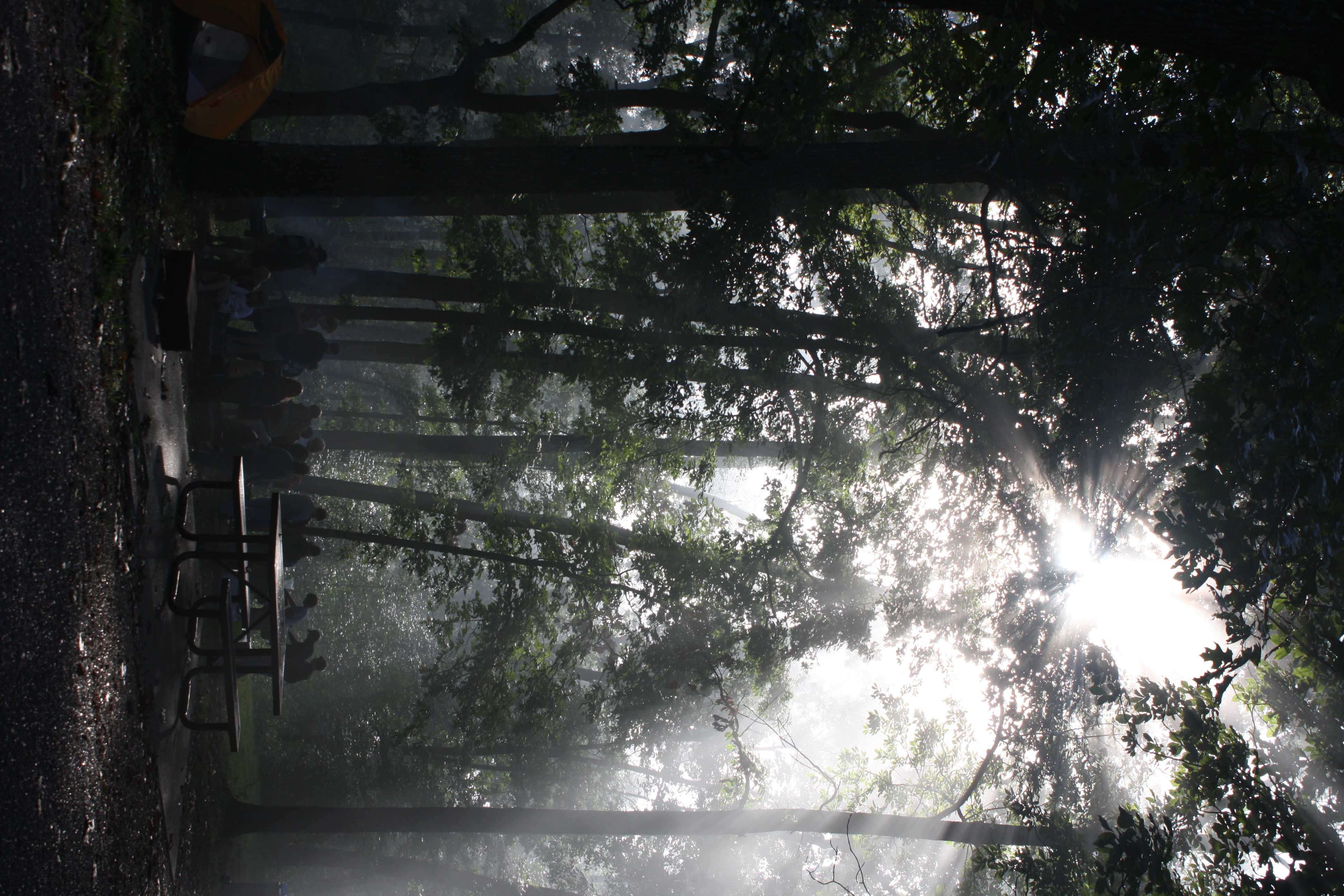
The sun's rays push through the branches
Buffalo River Float - May 2009

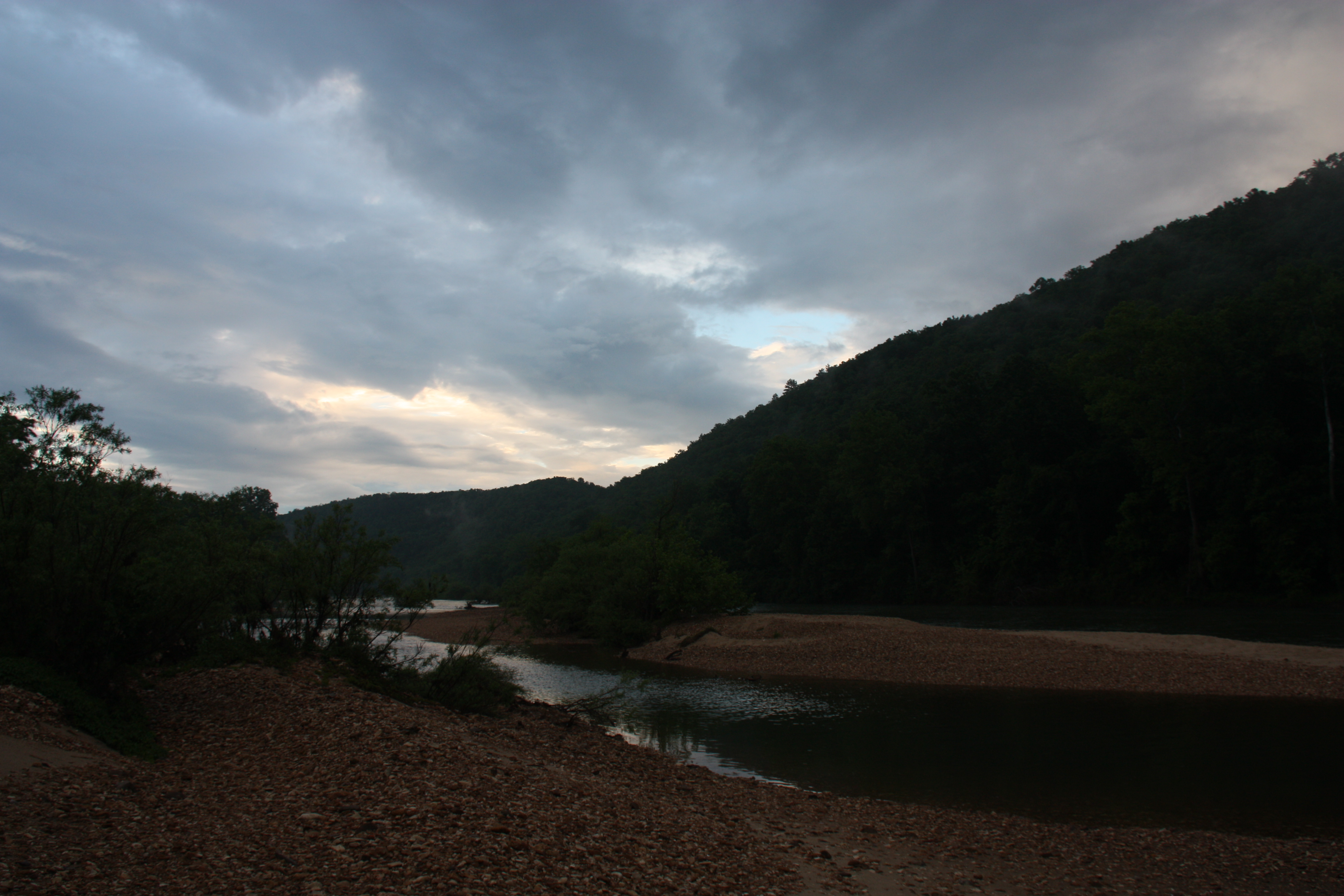
Buffalo River
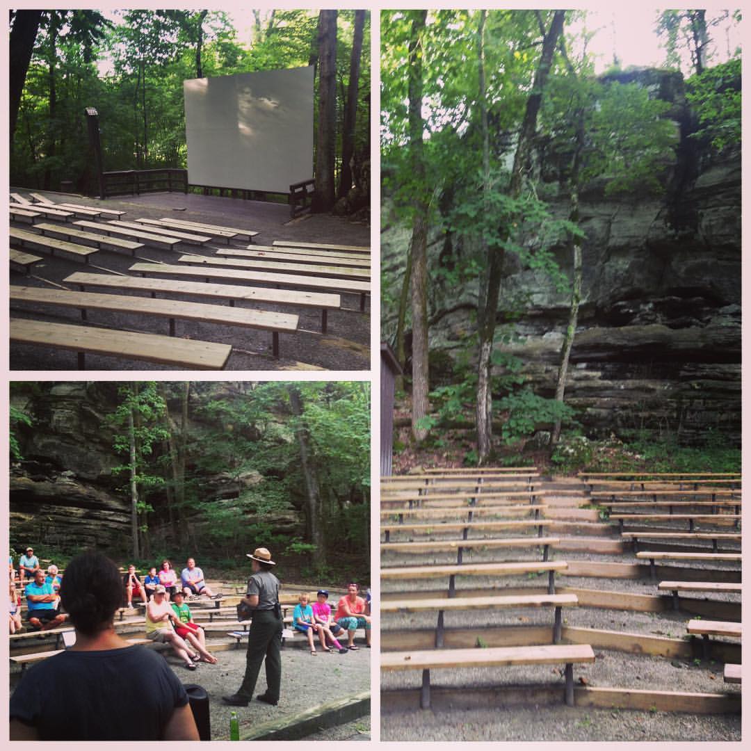
The Buffalo Point amphitheater is the perfect venue for talking about bluff shelter archeology...it's surrounded by bluffs! Unfortunately, the power went out immediately after we set up our AV...so Lydia & I had to "wing it" without pictures...luckily we
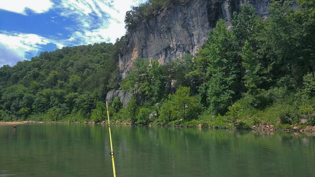
Fishing on the Buffalo River. #fishing #buffaloriver #arkansas #didntcatchanything #binkysadventures #binkyvacation2016

No caption needed #adayinthellifeof #Arkansas #arkansasphotographer #familytrips #lifestylephotographer
Topographic Map of Yokum Trail, St Joe, AR, USA
Find elevation by address:

Places near Yokum Trail, St Joe, AR, USA:
36 Frost St, Gilbert, AR, USA
Gilbert
Searcy County
AR-, St Joe, AR, USA
Buffalo National River
US-65, St Joe, AR, USA
Bear Creek No. 4 Township
State Highway 374
Saint Joe
Spring Township
Virgin Pine Road
Morning Star
100 Center St
Marshall
Center St, Marshall, AR, USA
Crow Drive
AR-27, Marshall, AR, USA
10526 Ar-27
10526 Ar-27
10526 Ar-27
Recent Searches:
- Elevation of Kambingan Sa Pansol Atbp., Purok 7 Pansol, Candaba, Pampanga, Philippines
- Elevation of Pinewood Dr, New Bern, NC, USA
- Elevation of Mountain View, CA, USA
- Elevation of Foligno, Province of Perugia, Italy
- Elevation of Blauwestad, Netherlands
- Elevation of Bella Terra Blvd, Estero, FL, USA
- Elevation of Estates Loop, Priest River, ID, USA
- Elevation of Woodland Oak Pl, Thousand Oaks, CA, USA
- Elevation of Brownsdale Rd, Renfrew, PA, USA
- Elevation of Corcoran Ln, Suffolk, VA, USA