Elevation of Tomahawk Township, AR, USA
Location: United States > Arkansas > Searcy County >
Longitude: -92.718272
Latitude: 36.0369029
Elevation: 215m / 705feet
Barometric Pressure: 99KPa
Elevation Map:
Satellite Map:
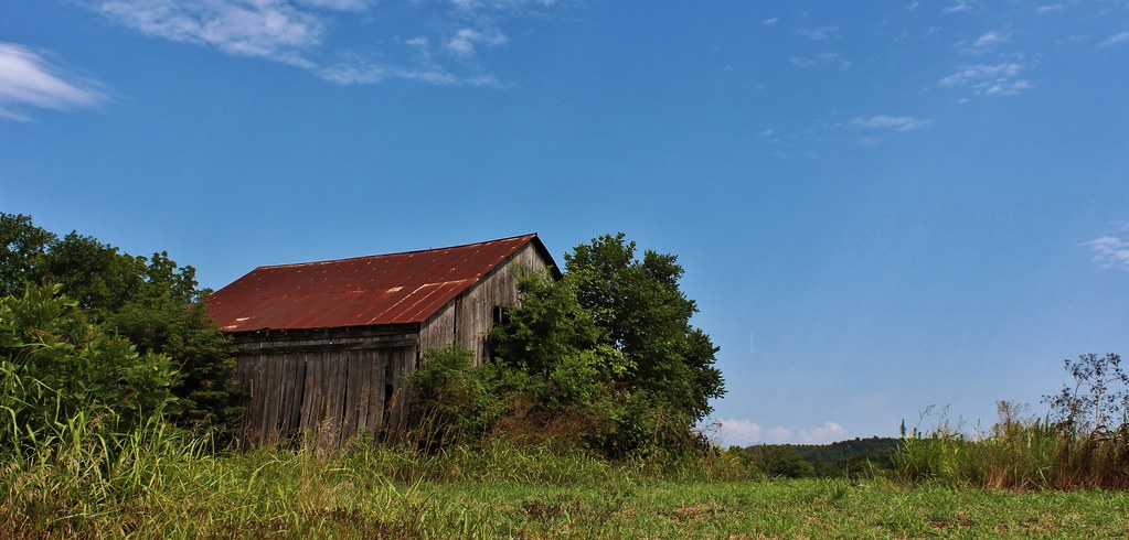
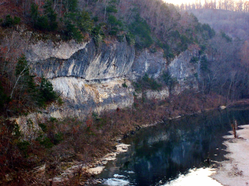
Related Photos:
IMG_0005 (2)
Buffalo National River Arkansas

Hey ya

Trout Fishing On The Buffalo River
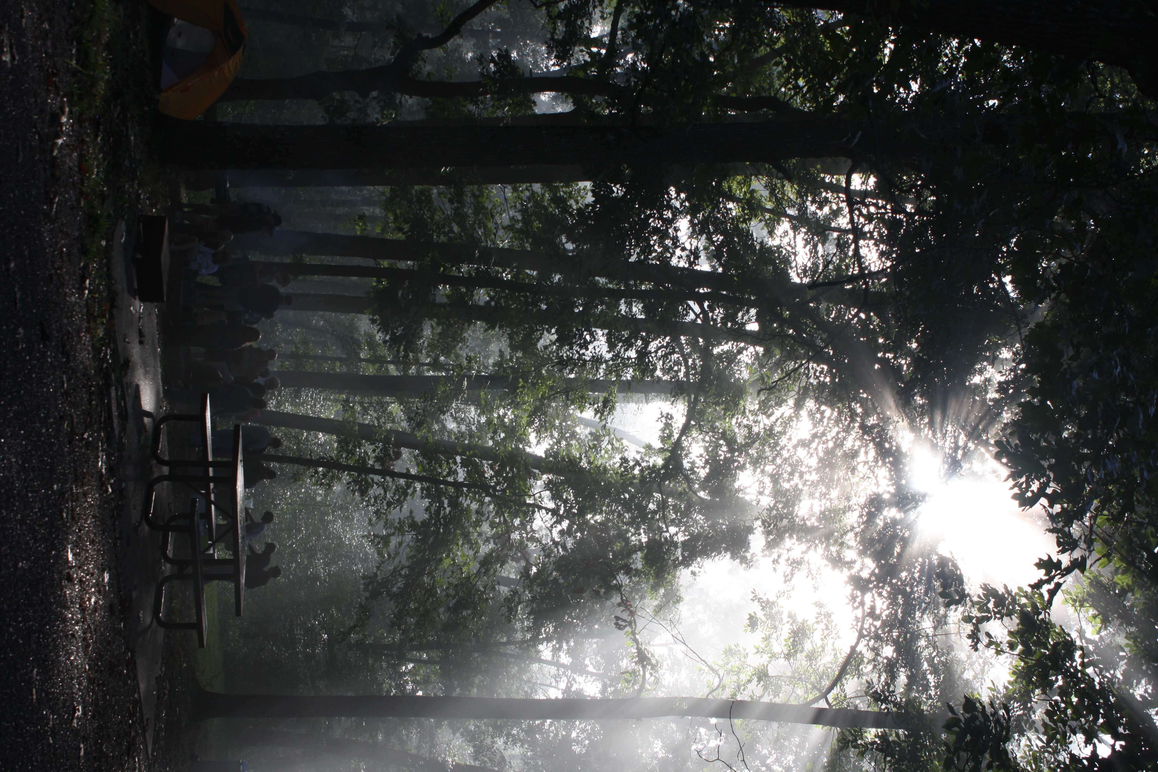
The sun's rays push through the branches
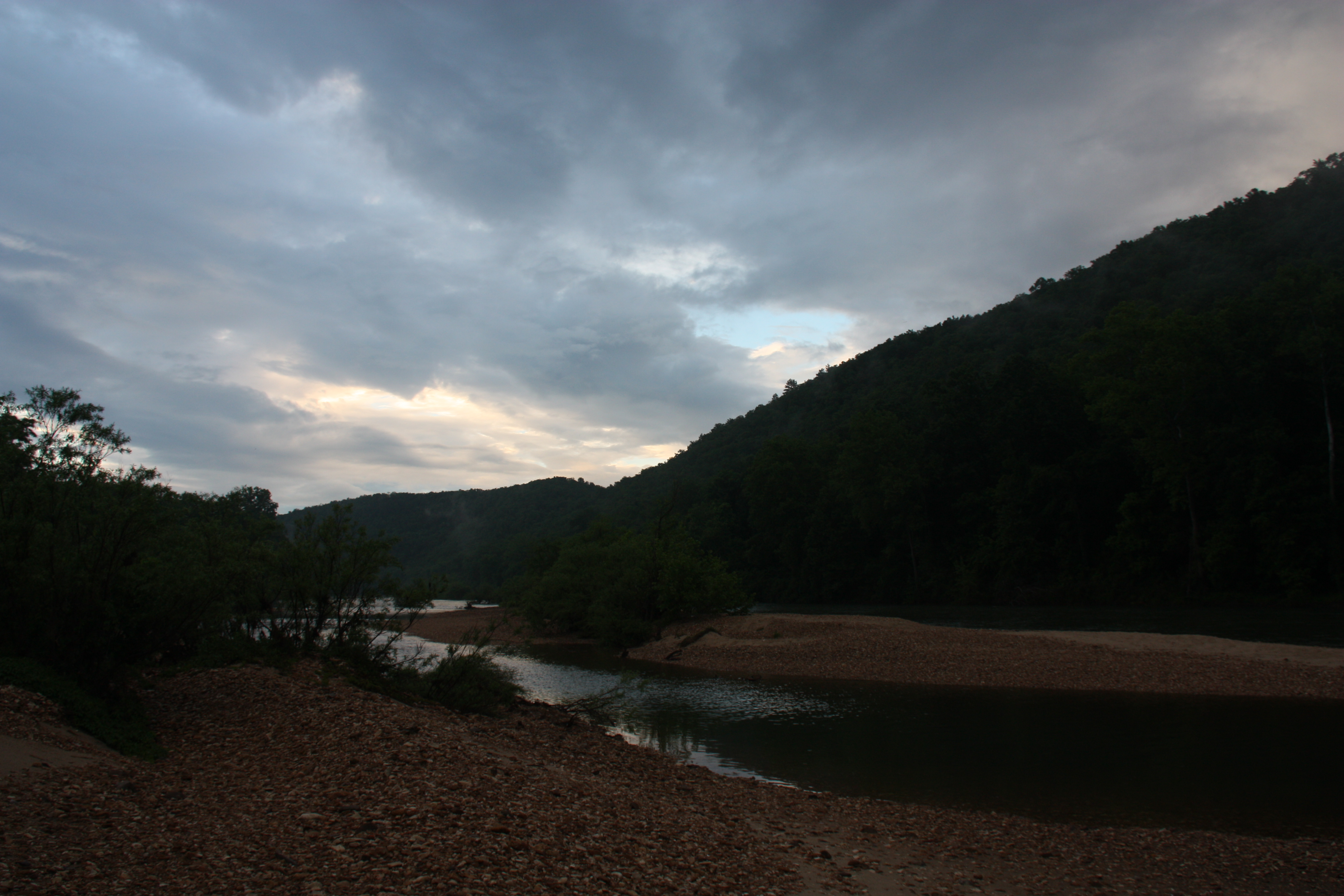
Buffalo River Float - May 2009

Buffalo River
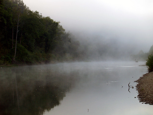
Buffalo River
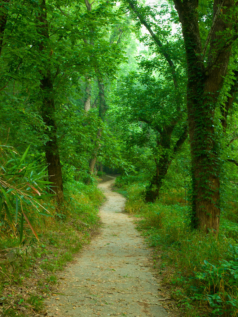
Walk This Way
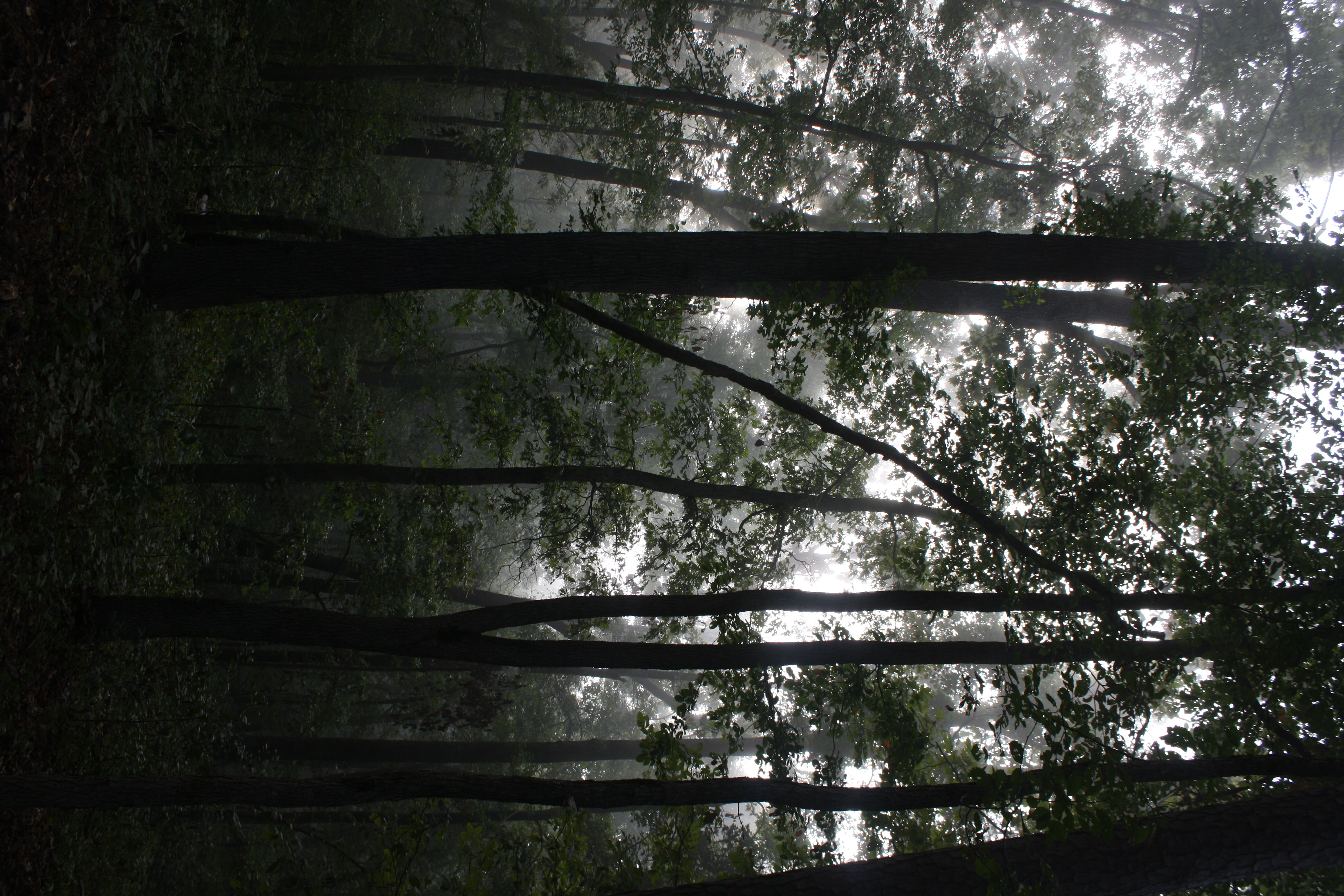
Fog and trees mix near the Buffalo National River
Topographic Map of Tomahawk Township, AR, USA
Find elevation by address:

Places in Tomahawk Township, AR, USA:
Places near Tomahawk Township, AR, USA:
Yokum Trail
36 Frost St, Gilbert, AR, USA
Gilbert
Mud Hollow Lane
AR-, St Joe, AR, USA
298 Carpenters Trail
Searcy County
US-65, St Joe, AR, USA
Buffalo National River
State Highway 374
Saint Joe
153 Autumn Leaf Ln
Wandas Mountain Drive
Bear Creek No. 4 Township
Virgin Pine Road
Water Creek Township
Spring Township
105 Charda Ct
Morning Star
778 Cozy Ln
Recent Searches:
- Elevation of Kambingan Sa Pansol Atbp., Purok 7 Pansol, Candaba, Pampanga, Philippines
- Elevation of Pinewood Dr, New Bern, NC, USA
- Elevation of Mountain View, CA, USA
- Elevation of Foligno, Province of Perugia, Italy
- Elevation of Blauwestad, Netherlands
- Elevation of Bella Terra Blvd, Estero, FL, USA
- Elevation of Estates Loop, Priest River, ID, USA
- Elevation of Woodland Oak Pl, Thousand Oaks, CA, USA
- Elevation of Brownsdale Rd, Renfrew, PA, USA
- Elevation of Corcoran Ln, Suffolk, VA, USA