Elevation of State Highway, State Hwy, St Joe, AR, USA
Location: United States > Arkansas > Searcy County > Tomahawk Township > Saint Joe >
Longitude: -92.802363
Latitude: 36.0301616
Elevation: 242m / 794feet
Barometric Pressure: 98KPa
Elevation Map:
Satellite Map:
Related Photos:
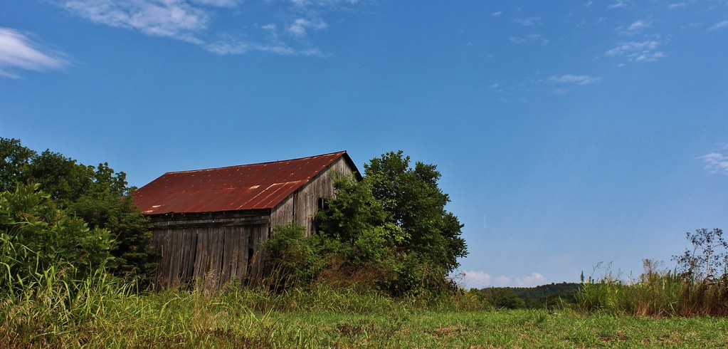
IMG_0005 (2)
Mind The Gap
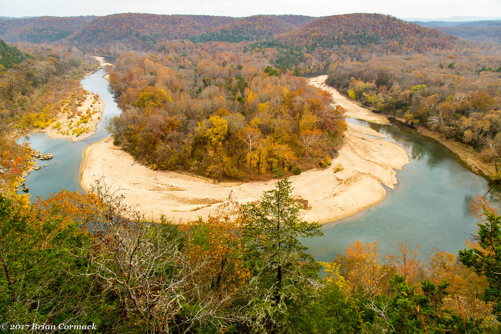
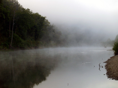
Buffalo National River Arkansas
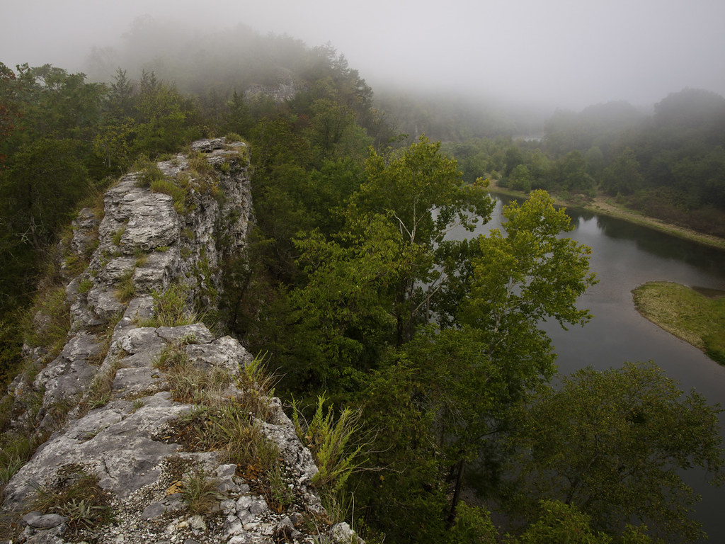
The Nars

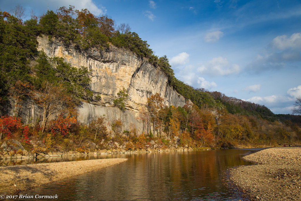
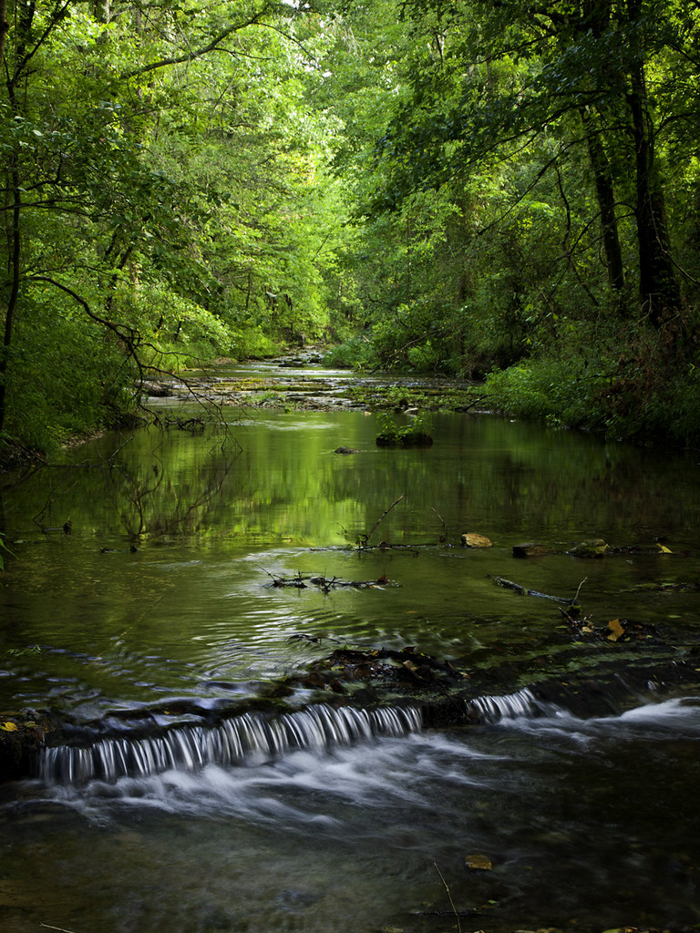
Buffalo River
Hey ya
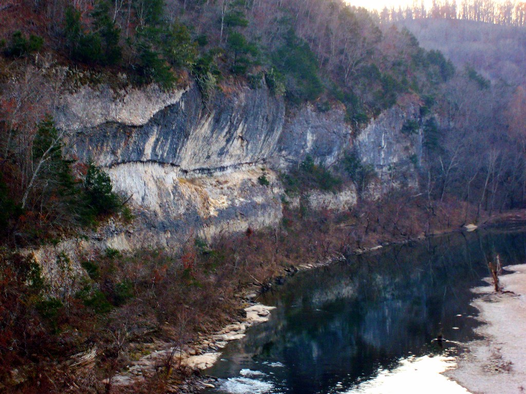
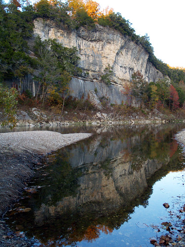
Red Bluff

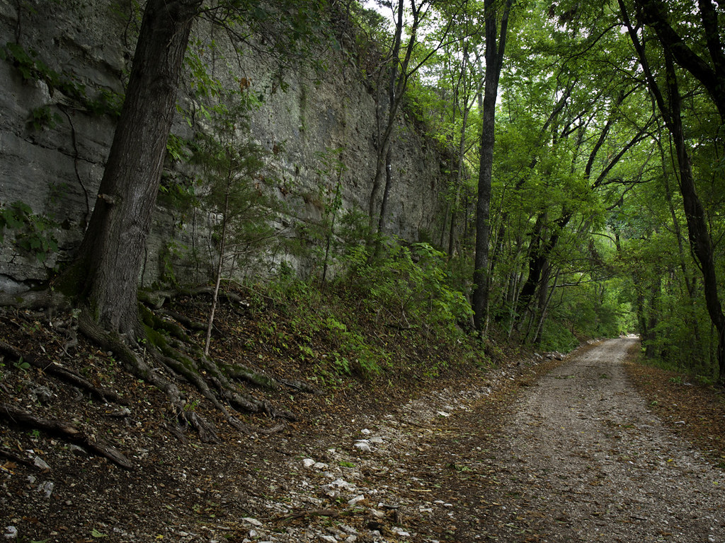
Old Railroad Bed Trail. Gilbert, Ar
Tyler Bend

Buffalo River at Tyler Bend

Buffalo River
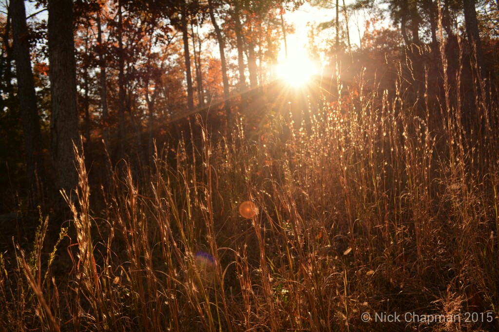
Fall in the forest. IG: moreboom7
Buffalo River
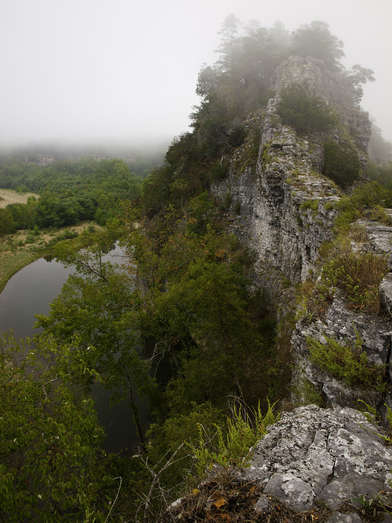
Nar-ly
Mt. Hersey

Did You See Me Jump From That Cliff?
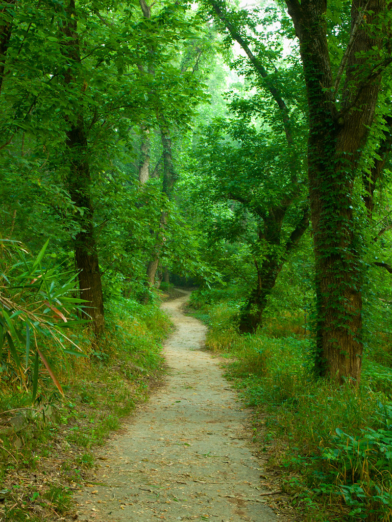
Walk This Way
Buffalo River
Topographic Map of State Highway, State Hwy, St Joe, AR, USA
Find elevation by address:

Places near State Highway, State Hwy, St Joe, AR, USA:
Saint Joe
US-65, St Joe, AR, USA
AR-, St Joe, AR, USA
Buffalo National River
36 Frost St, Gilbert, AR, USA
Gilbert
Yokum Trail
Searcy County
Virgin Pine Road
Crow Drive
Spring Township
Bear Creek No. 4 Township
10526 Ar-27
10526 Ar-27
10526 Ar-27
AR-27, Marshall, AR, USA
100 Center St
Marshall
Center St, Marshall, AR, USA
Morning Star
Recent Searches:
- Elevation of Foligno, Province of Perugia, Italy
- Elevation of Blauwestad, Netherlands
- Elevation of Bella Terra Blvd, Estero, FL, USA
- Elevation of Estates Loop, Priest River, ID, USA
- Elevation of Woodland Oak Pl, Thousand Oaks, CA, USA
- Elevation of Brownsdale Rd, Renfrew, PA, USA
- Elevation of Corcoran Ln, Suffolk, VA, USA
- Elevation of Mamala II, Sariaya, Quezon, Philippines
- Elevation of Sarangdanda, Nepal
- Elevation of 7 Waterfall Way, Tomball, TX, USA