Elevation of Marshall, AR, USA
Location: United States > Arkansas > Searcy County > Bear Creek No. 6 Township >
Longitude: -92.631274
Latitude: 35.9089643
Elevation: 317m / 1040feet
Barometric Pressure: 98KPa
Elevation Map:
Satellite Map:
Related Photos:
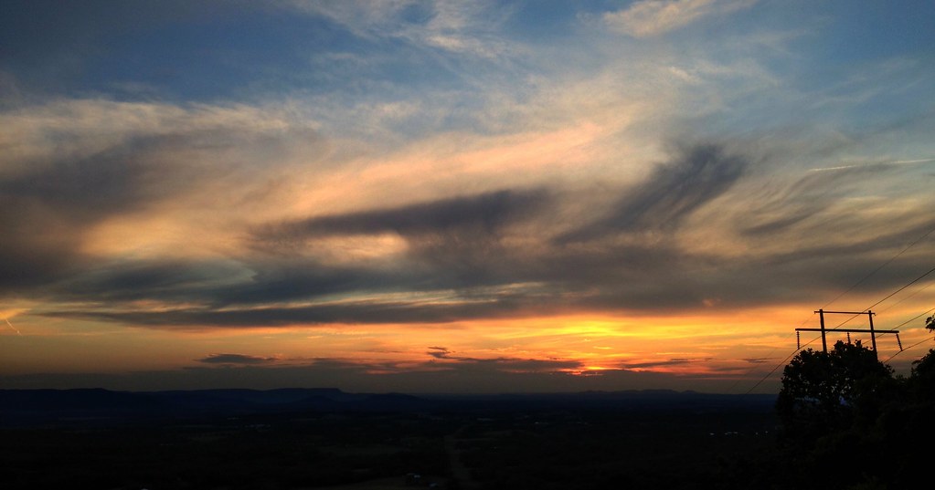
On my way home
Long distance view upstream
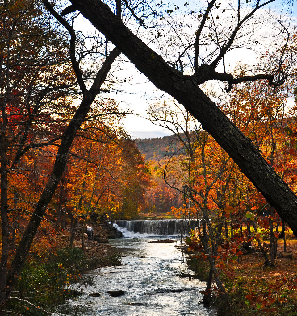
Fall is almost over here
Buffalo River Float - May 2009
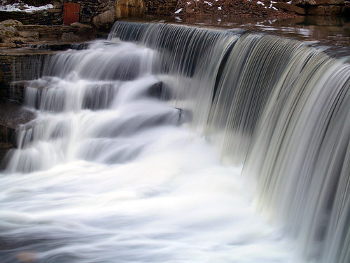
Leslie's waterfall
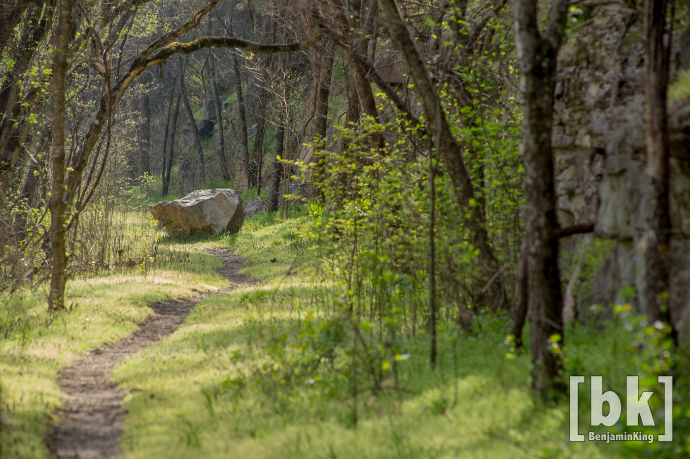
Old Railroad Bed Trail. Gilbert, Ar
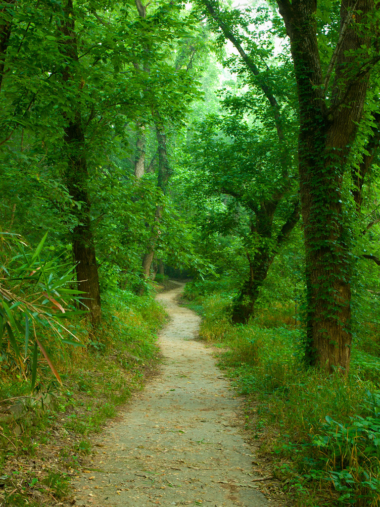
Walk This Way
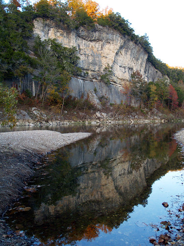
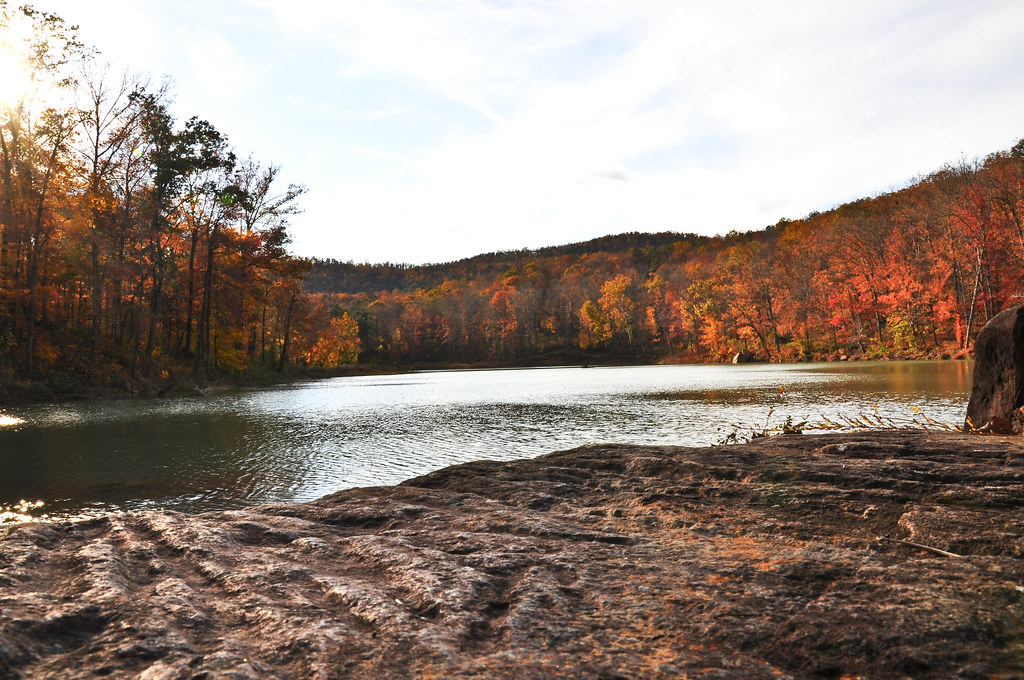
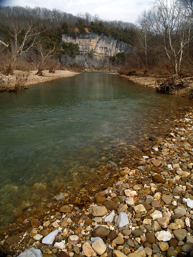
Buffalo River
Buffalo River Float - May 2009
Buffalo River Float - May 2009

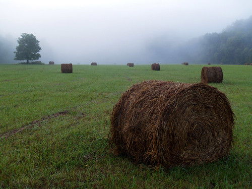
Hay-ters gotta Hay-te
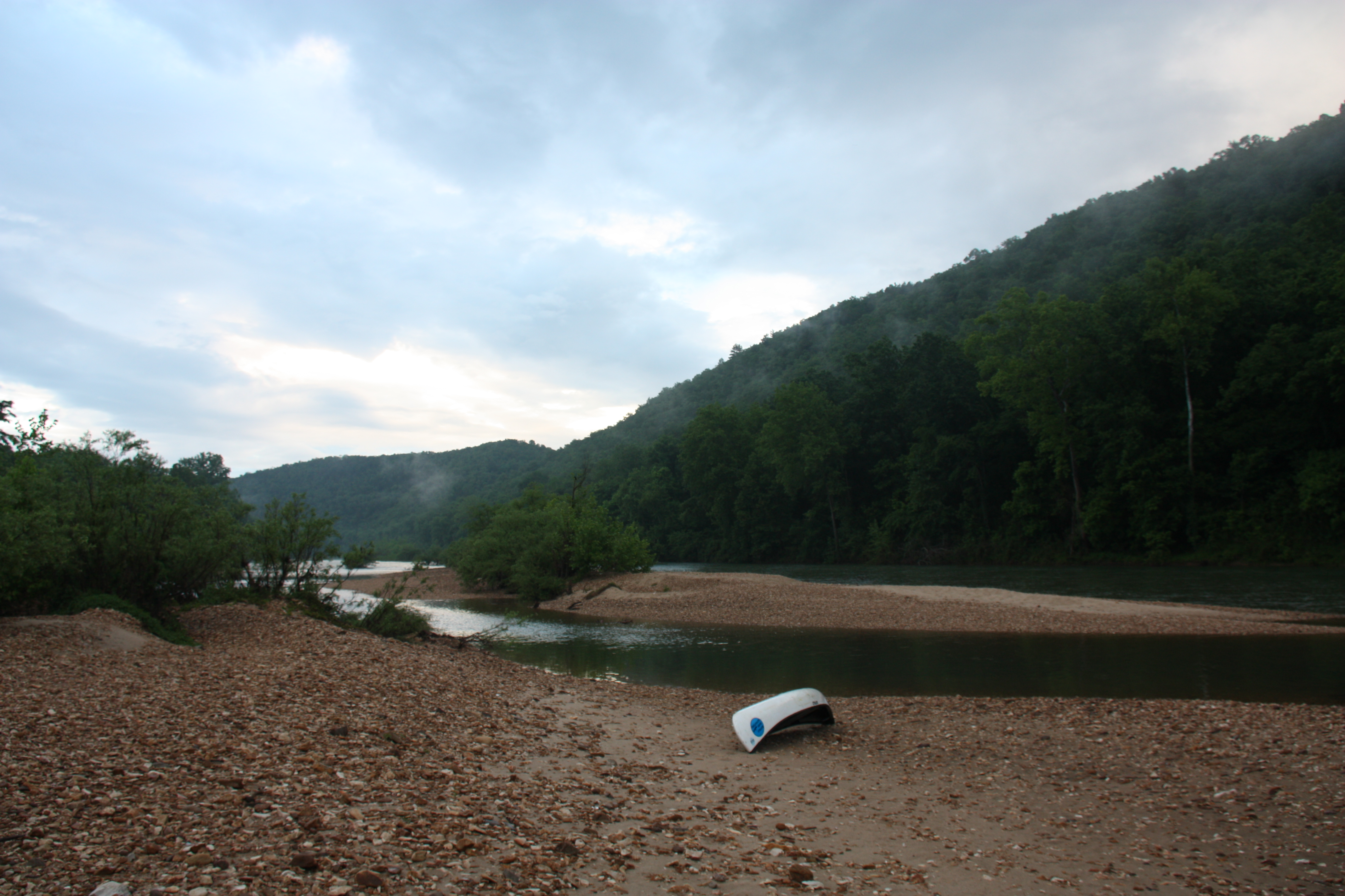
Tyler Bend
bufflow-001--.jpg
Buffalo National River
Buffalo River Float - May 2009

Hey ya
Buffalo River
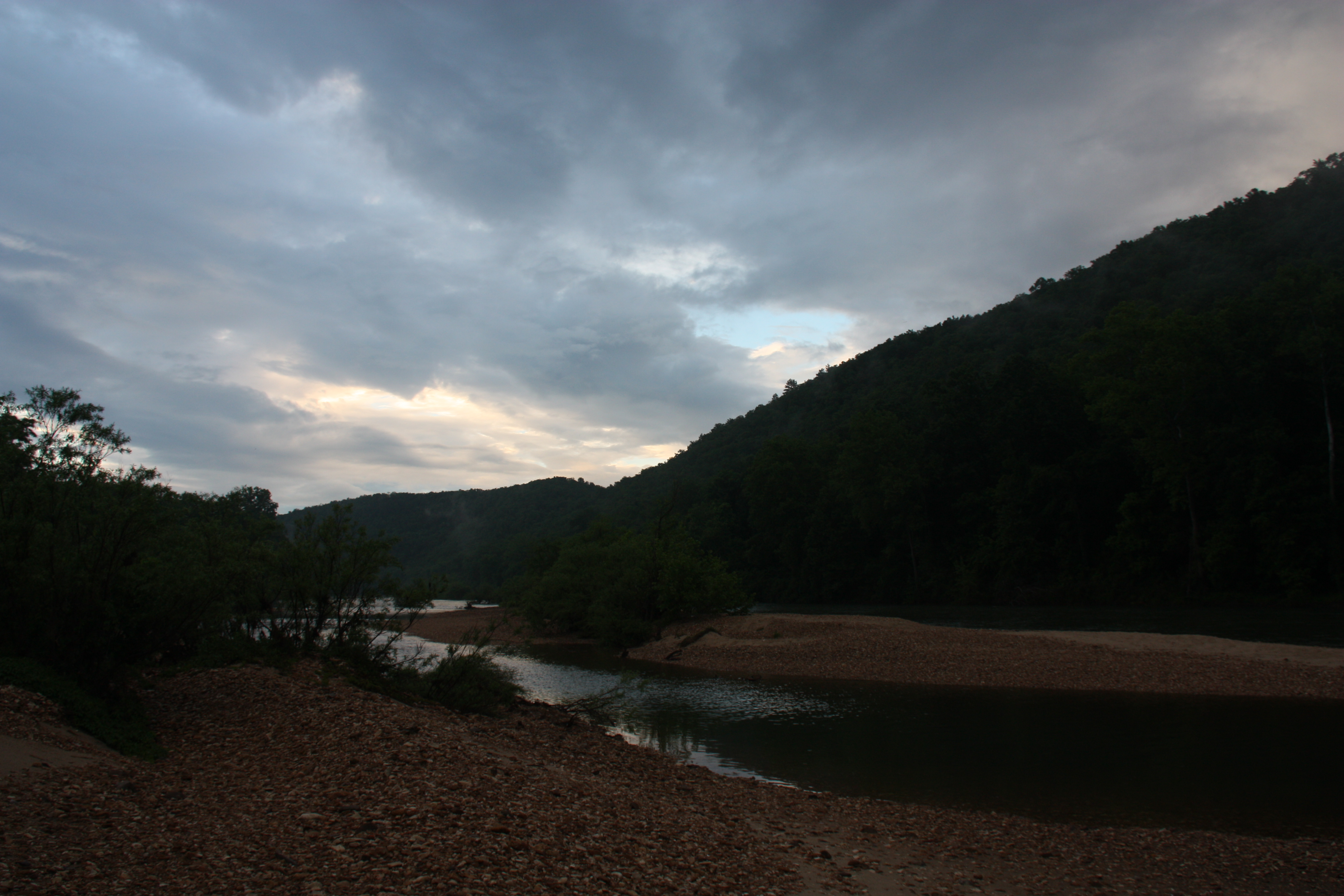
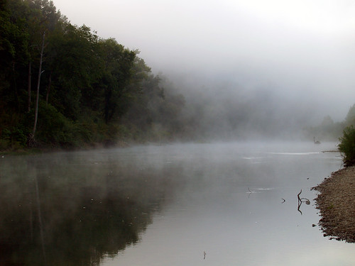
In a fog
Topographic Map of Marshall, AR, USA
Find elevation by address:

Places in Marshall, AR, USA:
Places near Marshall, AR, USA:
Center St, Marshall, AR, USA
100 Center St
Bear Creek No. 4 Township
Bear Creek No. 6 Township
Morning Star
Wileys Cove Township
AR-27, Marshall, AR, USA
Spring Township
Searcy County
10526 Ar-27
10526 Ar-27
10526 Ar-27
Virgin Pine Road
Gilbert
36 Frost St, Gilbert, AR, USA
Yokum Trail
Harriet
AR-14, Harriet, AR, USA
Crow Drive
Buffalo National River
Recent Searches:
- Elevation of Bella Terra Blvd, Estero, FL, USA
- Elevation of Estates Loop, Priest River, ID, USA
- Elevation of Woodland Oak Pl, Thousand Oaks, CA, USA
- Elevation of Brownsdale Rd, Renfrew, PA, USA
- Elevation of Corcoran Ln, Suffolk, VA, USA
- Elevation of Mamala II, Sariaya, Quezon, Philippines
- Elevation of Sarangdanda, Nepal
- Elevation of 7 Waterfall Way, Tomball, TX, USA
- Elevation of SW 57th Ave, Portland, OR, USA
- Elevation of Crocker Dr, Vacaville, CA, USA