Elevation of Searcy County, AR, USA
Location: United States > Arkansas >
Longitude: -92.698386
Latitude: 35.9721
Elevation: 251m / 823feet
Barometric Pressure: 98KPa
Elevation Map:
Satellite Map:
Related Photos:
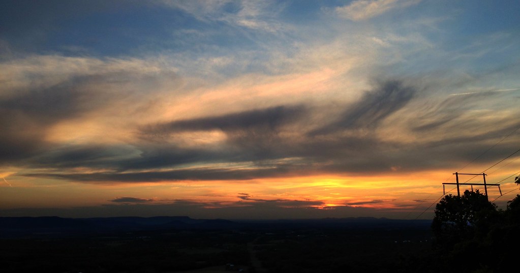
On my way home
IMG_0005 (2)
Hey ya
Buffalo River Float - May 2009

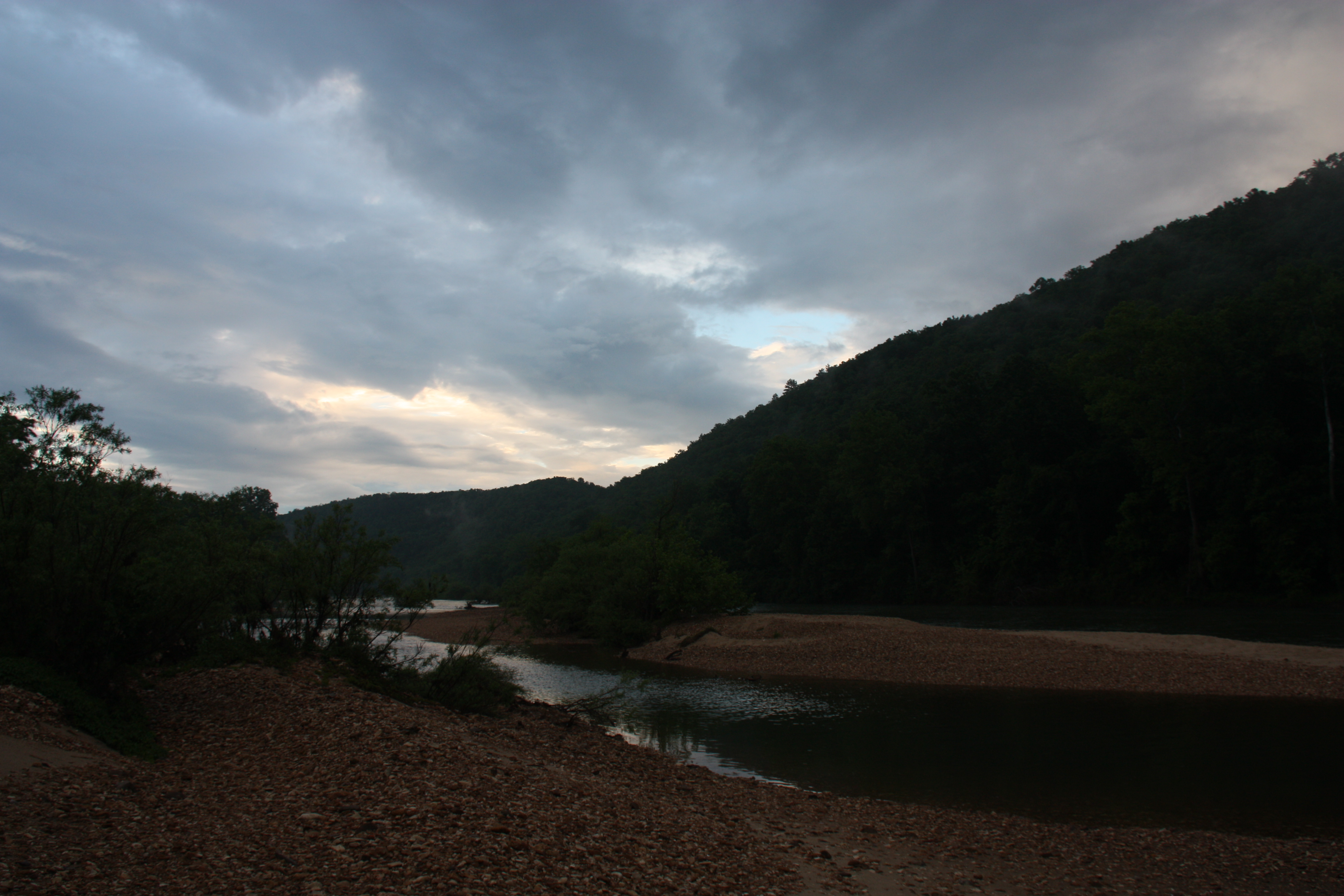
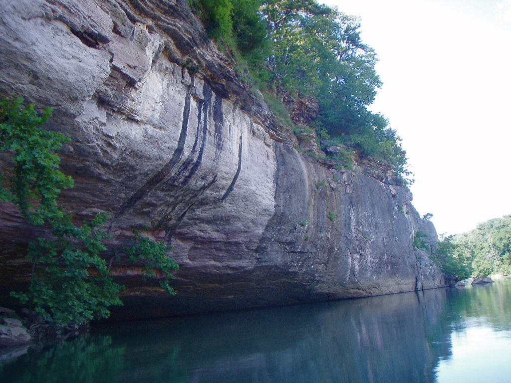
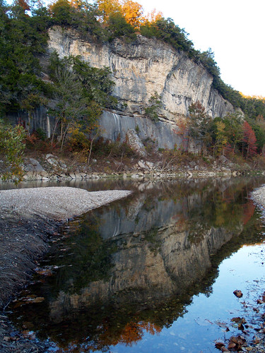
Buffalo River
Buffalo River
Walk This Way
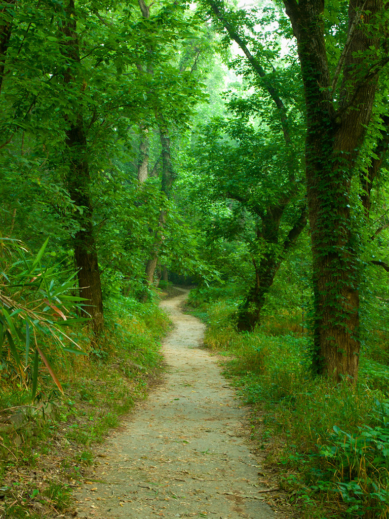
Old Railroad Bed Trail. Gilbert, Ar
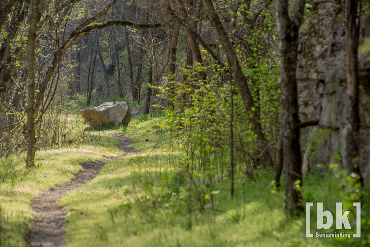
shaddy cave
Buffalo River Float - May 2009
Buffalo River
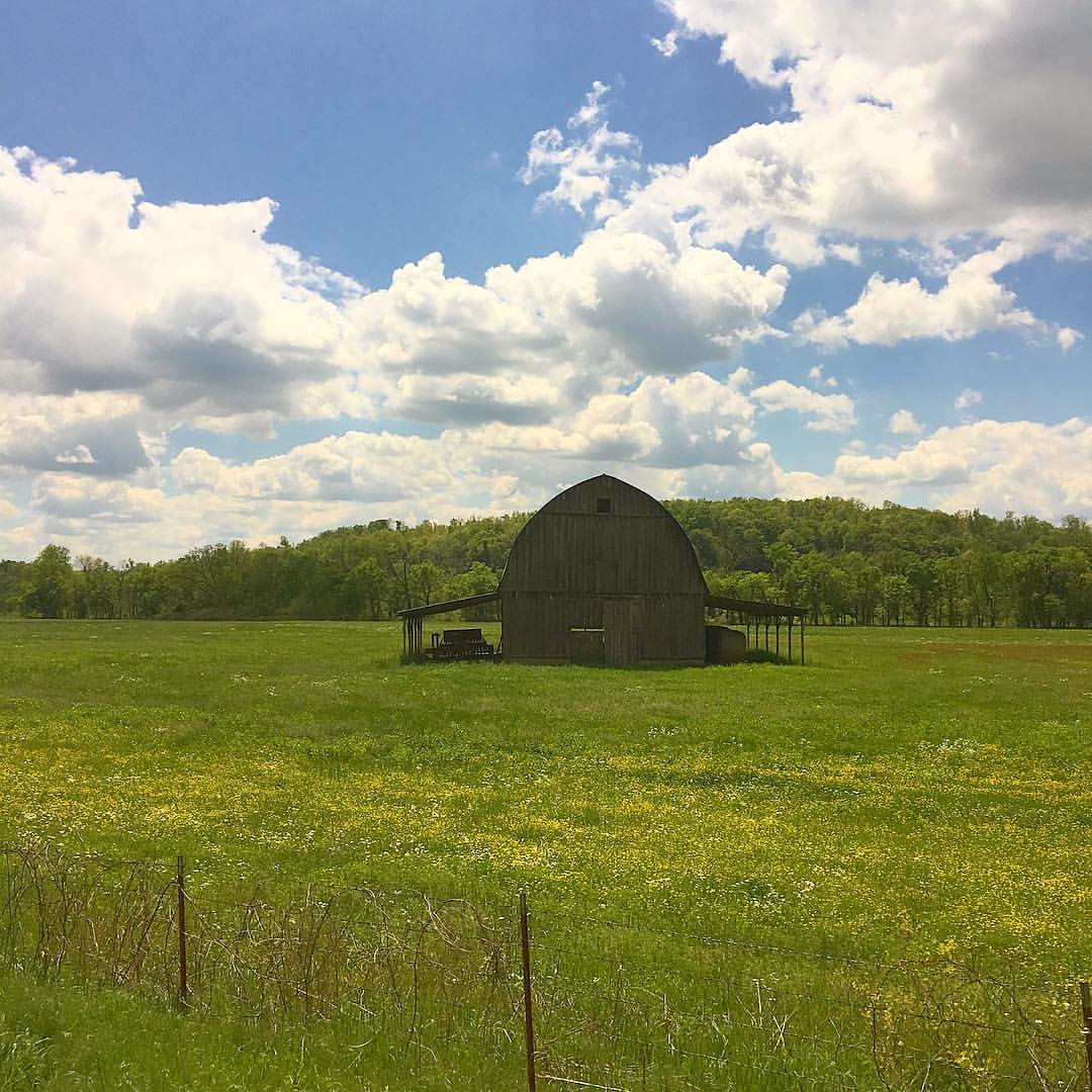
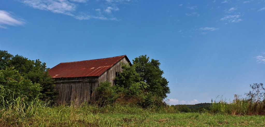
Ozarks barn on the way to Branson #barn #ozarks #arkansas
Buffalo River Float - May 2009
Hay-ters gotta Hay-te
Tyler Bend
Buffalo River Float - May 2009
bufflow-001--.jpg
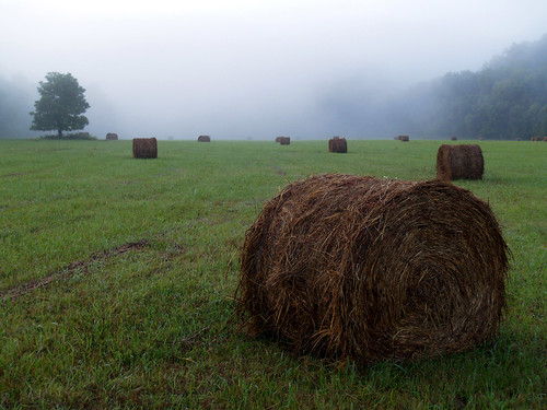
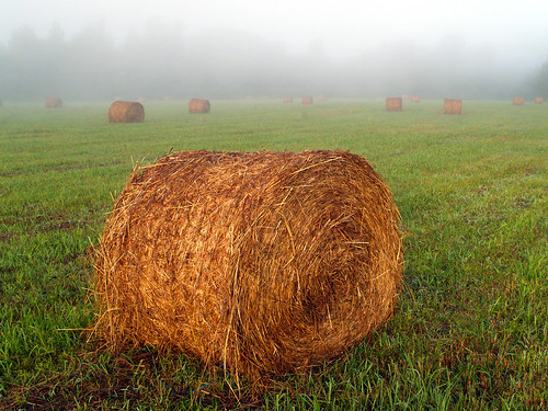
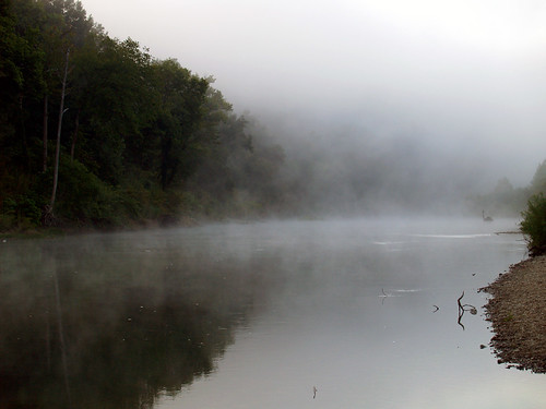
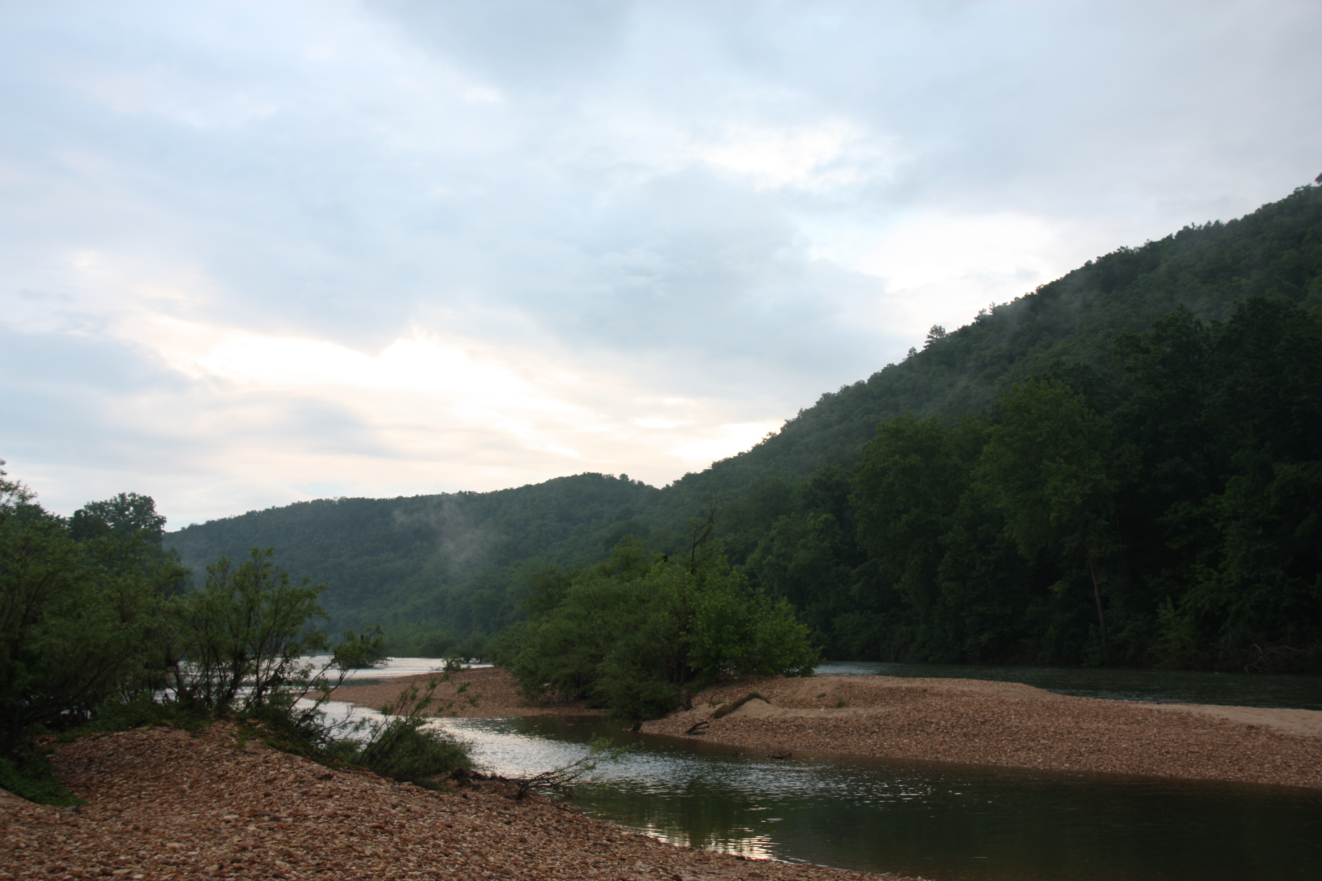
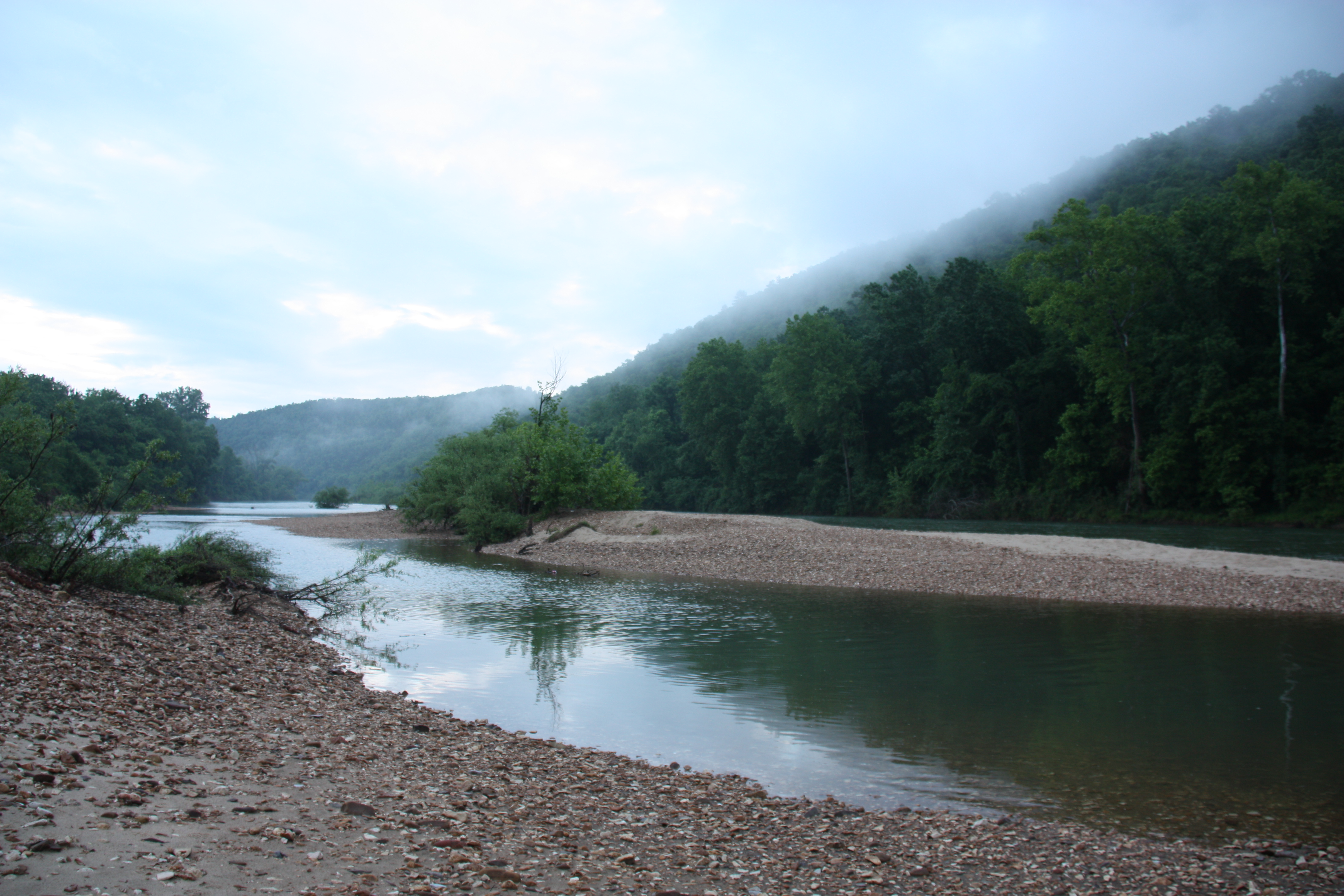
In a fog
Topographic Map of Searcy County, AR, USA
Find elevation by address:

Places in Searcy County, AR, USA:
Tomahawk Township
Wileys Cove Township
Mount Pleasant Township
Spring Township
Rock Creek Township
Bear Creek No. 6 Township
Bear Creek No. 4 Township
Thola
Crow Drive
St. Joe Township
Prairie Township
Places near Searcy County, AR, USA:
Gilbert
36 Frost St, Gilbert, AR, USA
Yokum Trail
Buffalo National River
Bear Creek No. 4 Township
Spring Township
AR-, St Joe, AR, USA
Virgin Pine Road
100 Center St
Marshall
Center St, Marshall, AR, USA
US-65, St Joe, AR, USA
Crow Drive
Morning Star
AR-27, Marshall, AR, USA
10526 Ar-27
10526 Ar-27
10526 Ar-27
State Highway 374
Bear Creek No. 6 Township
Recent Searches:
- Elevation of W Granada St, Tampa, FL, USA
- Elevation of Pykes Down, Ivybridge PL21 0BY, UK
- Elevation of Jalan Senandin, Lutong, Miri, Sarawak, Malaysia
- Elevation of Bilohirs'k
- Elevation of 30 Oak Lawn Dr, Barkhamsted, CT, USA
- Elevation of Luther Road, Luther Rd, Auburn, CA, USA
- Elevation of Unnamed Road, Respublika Severnaya Osetiya — Alaniya, Russia
- Elevation of Verkhny Fiagdon, North Ossetia–Alania Republic, Russia
- Elevation of F. Viola Hiway, San Rafael, Bulacan, Philippines
- Elevation of Herbage Dr, Gulfport, MS, USA