Elevation of Woodberry Dr, Raeford, NC, USA
Location: United States > North Carolina > Hoke County >
Longitude: -79.303302
Latitude: 34.9418552
Elevation: 79m / 259feet
Barometric Pressure: 100KPa
Elevation Map:
Satellite Map:
Related Photos:
Westover B with stone

20140823-DSC_3583
Visited Grayboy today

Lumber River State Park
4 Long Leaf Pine Calloway Forest NC 13-35-45_+0.0Ev
Get the dog!

1 Long Leaf Pine Sappling Calloway Forest NC 11-50-20_875
Laurinburg a 089

Mott Lake 2

20161210-DSC_6217

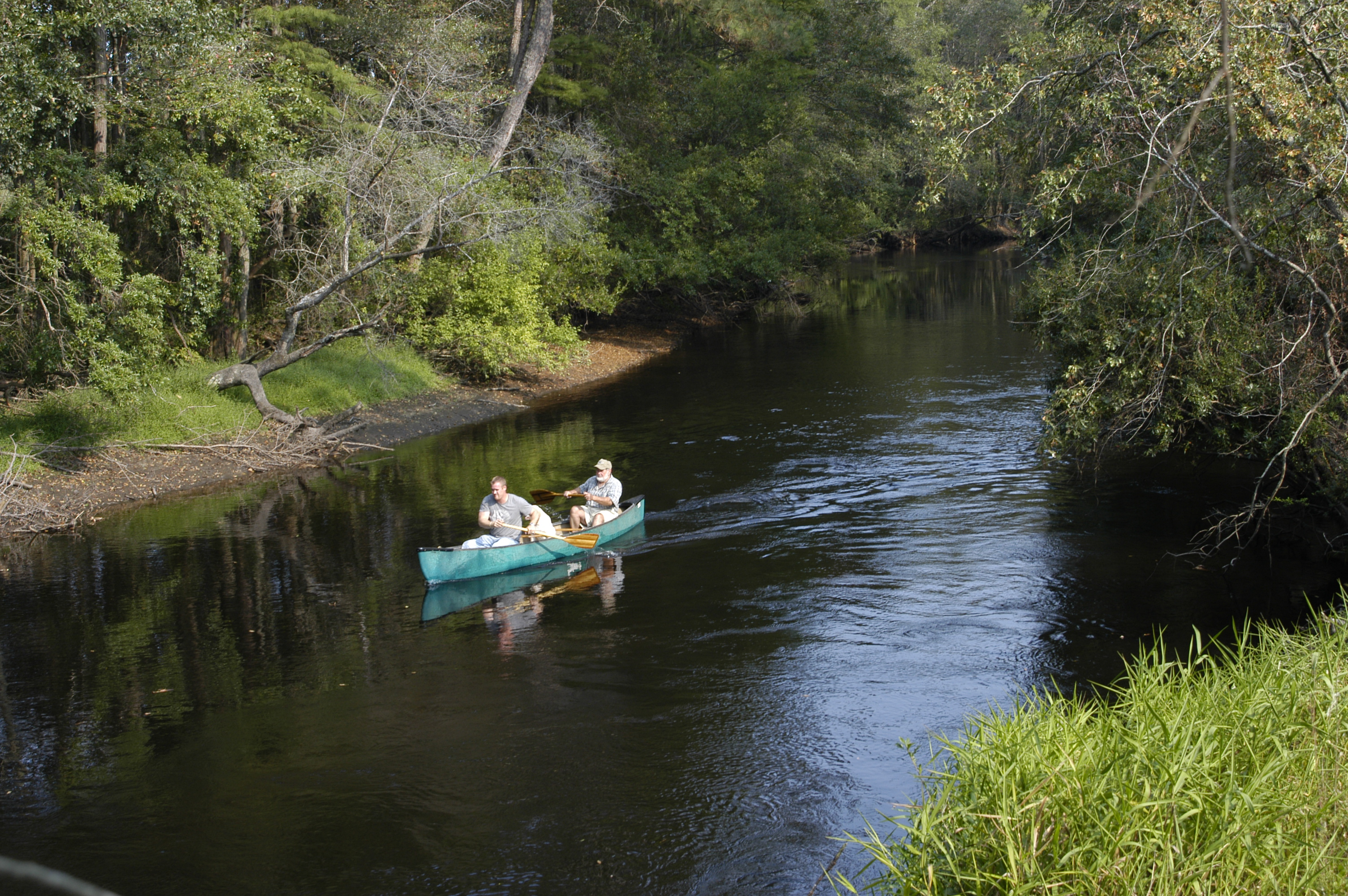
Lumber River (2)

Lumber River (3)

Lumber River (4)
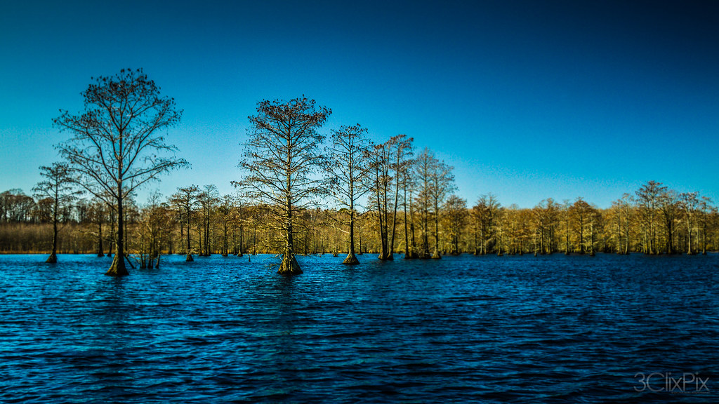
February Swamp
Topographic Map of Woodberry Dr, Raeford, NC, USA
Find elevation by address:

Places near Woodberry Dr, Raeford, NC, USA:
Raeford Road
301 Mccain St
Bundy St, Wagram, NC, USA
Wagram
Raeford
Silver City
Raeford
Pendergrass Road
Spring Hill
Hoke County
185 Corda Pl
Quewhiffle
Ashemont Rd, Aberdeen, NC, USA
123 Dolores Ct
176 Quewhiffle Rd
15340 Palmer Rd
Batman Wildlife & Chimney Swp
22601 Aberdeen Rd
Red Springs
Golf Course Rd, Raeford, NC, USA
Recent Searches:
- Elevation of Placer Mine Ln, West Jordan, UT, USA
- Elevation of E 63rd St, New York, NY, USA
- Elevation of Elk City, OK, USA
- Elevation of Erika Dr, Windsor, CA, USA
- Elevation of Village Ln, Finleyville, PA, USA
- Elevation of 24 Oakland Rd #, Scotland, ON N0E 1R0, Canada
- Elevation of Deep Gap Farm Rd E, Mill Spring, NC, USA
- Elevation of Dog Leg Dr, Minden, NV, USA
- Elevation of Dog Leg Dr, Minden, NV, USA
- Elevation of Kambingan Sa Pansol Atbp., Purok 7 Pansol, Candaba, Pampanga, Philippines