Elevation of Wagram, NC, USA
Location: United States > North Carolina > Scotland County > Spring Hill >
Longitude: -79.366151
Latitude: 34.8879396
Elevation: 73m / 240feet
Barometric Pressure: 100KPa
Elevation Map:
Satellite Map:
Related Photos:

Retired 747-100 at KMEB

SOUTHERN CLEANERS
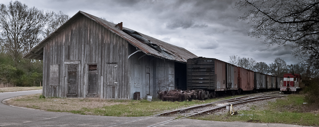
FORGOTTEN FREIGHT
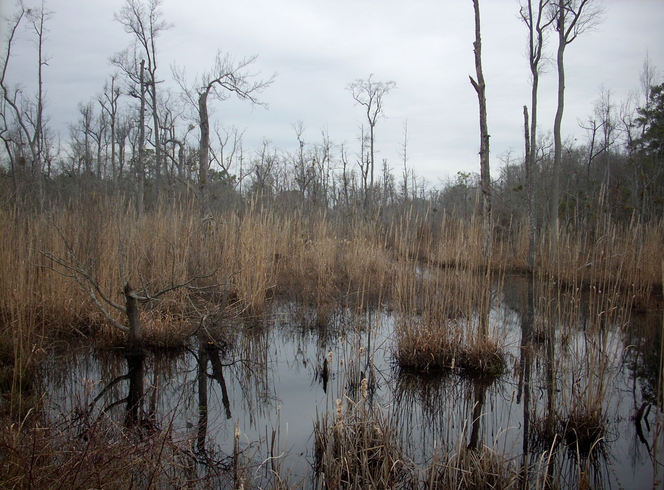
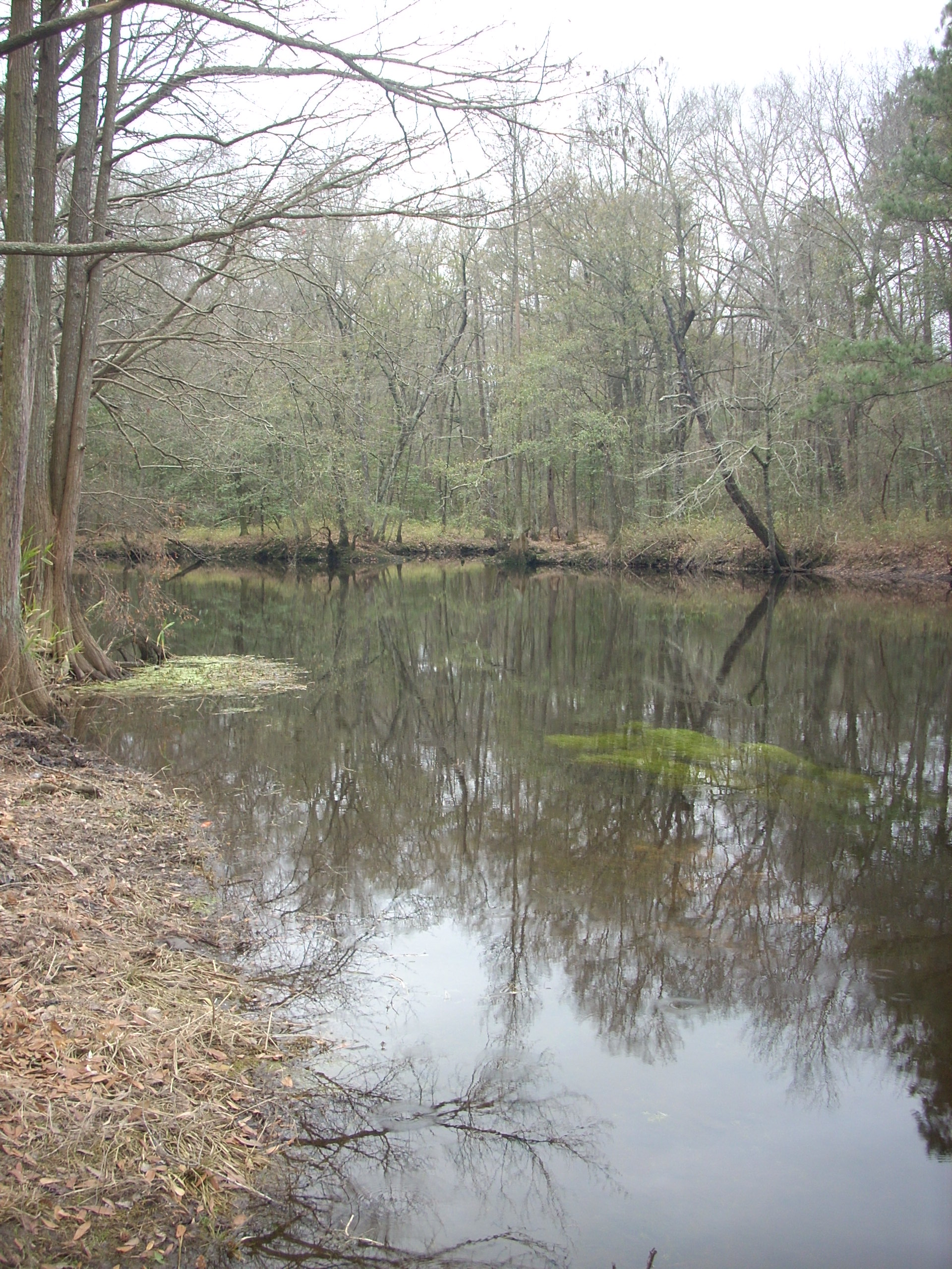
February Swamp
Visited Grayboy today
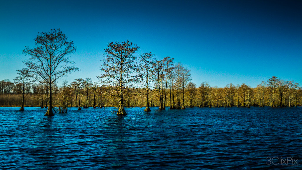
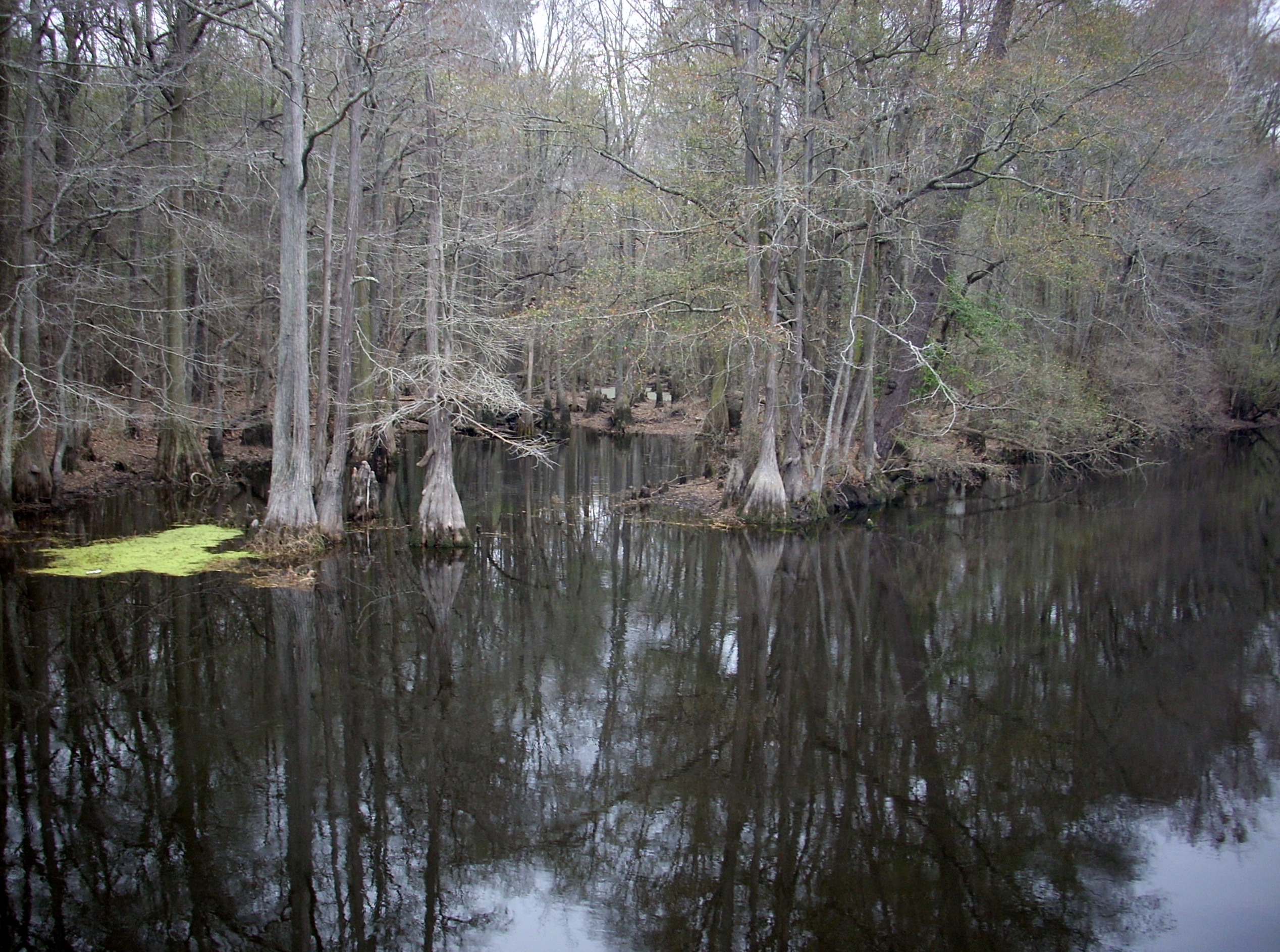
Wetland 2
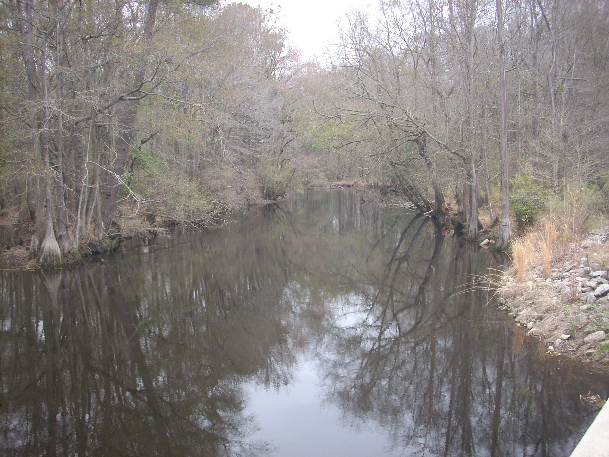
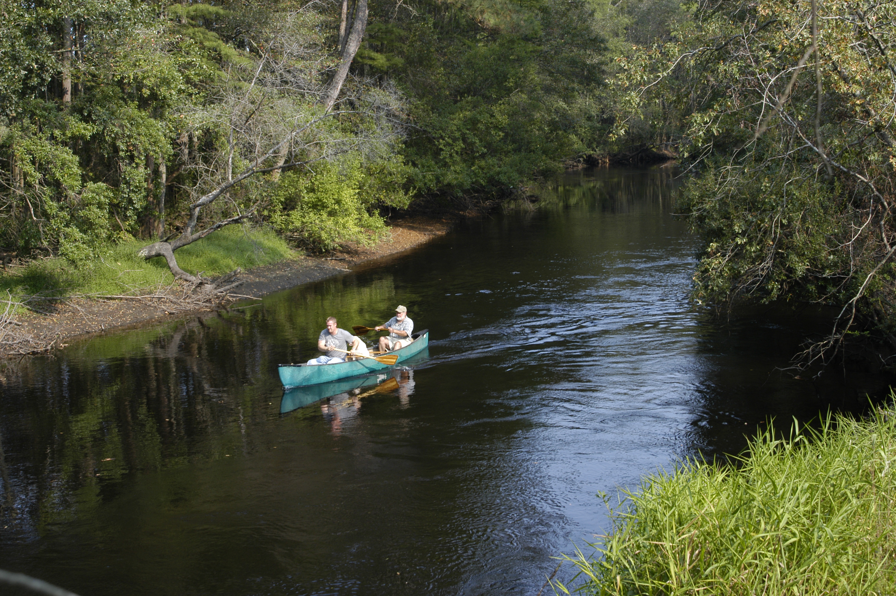
Lumber River
Lumber River on NC 71
Lumber River 3

The green, green grass of home in Laurinburg, NC. #home #grass #road2imaging @ourppa @imagingusa
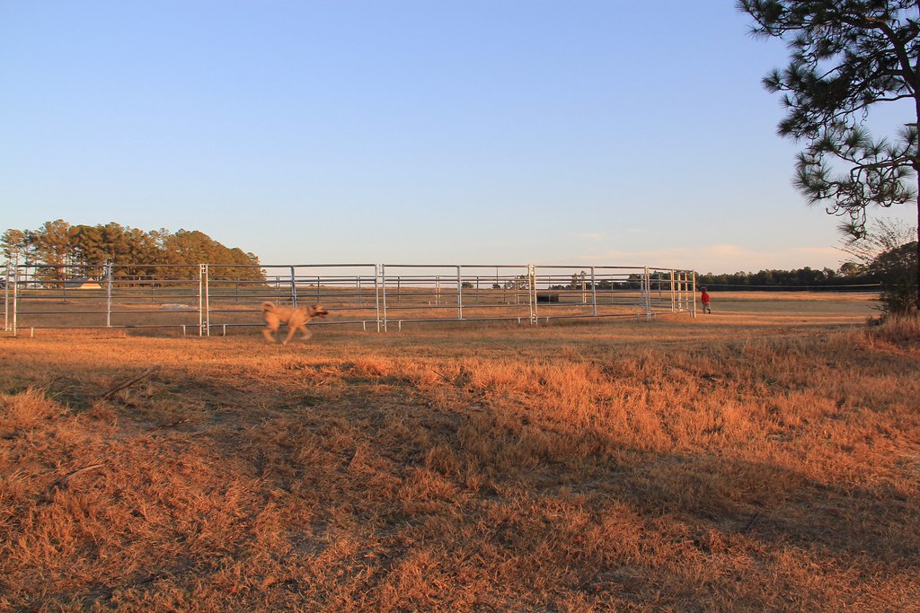
Get the dog!
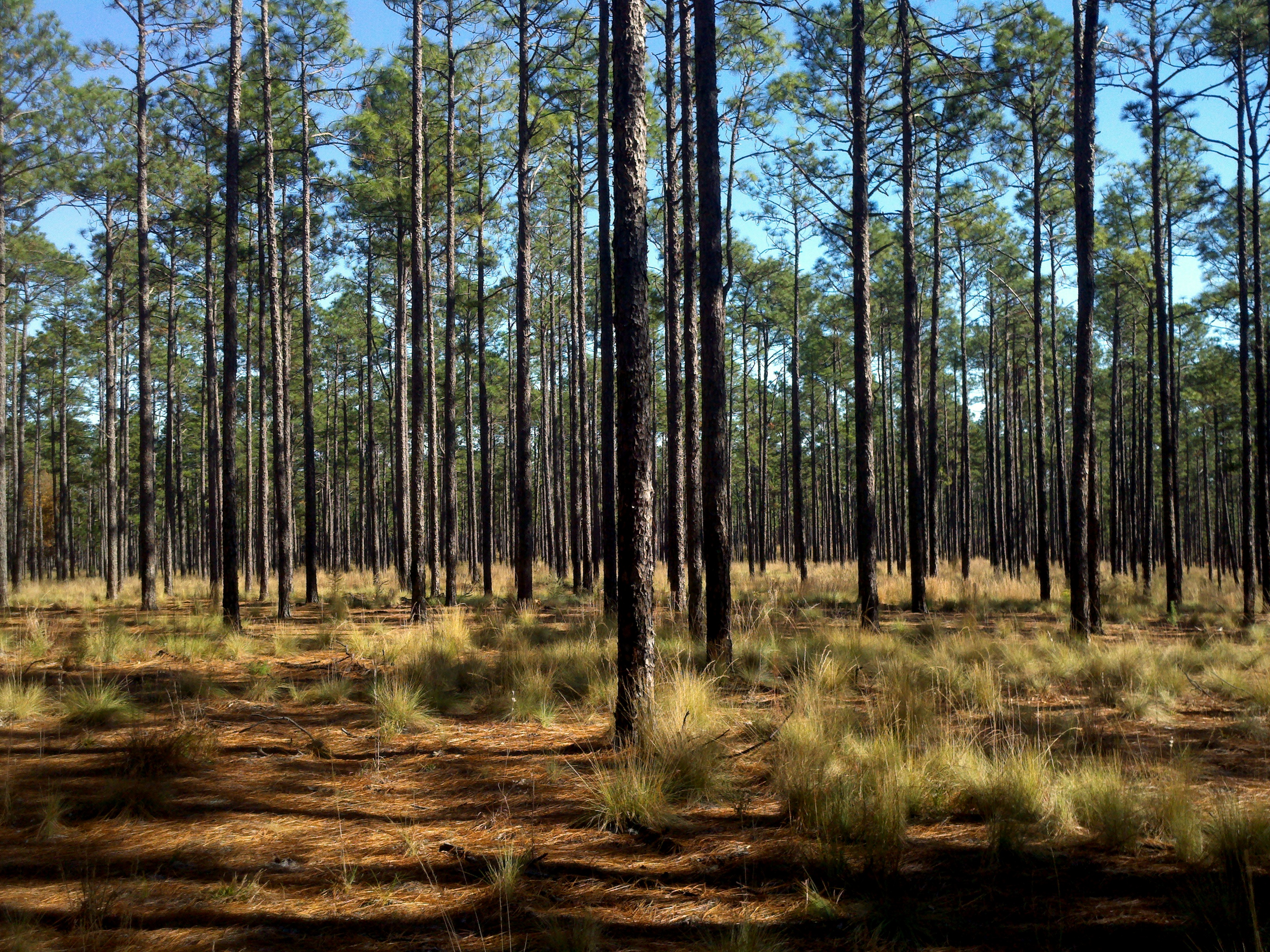
4 Long Leaf Pine Calloway Forest NC 13-35-45_+0.0Ev

1 Long Leaf Pine Sappling Calloway Forest NC 11-50-20_875
Laurinburg a 089
Topographic Map of Wagram, NC, USA
Find elevation by address:

Places in Wagram, NC, USA:
Places near Wagram, NC, USA:
Bundy St, Wagram, NC, USA
Spring Hill
Woodberry Dr, Raeford, NC, USA
Batman Wildlife & Chimney Swp
22601 Aberdeen Rd
15340 Palmer Rd
Pendergrass Road
Scotland County
Raeford Road
Laurel Hill Township
North Rocky Ford Road
47 5th St, Laurinburg, NC, USA
301 Mccain St
321 N Gill St
185 Corda Pl
E Church St, Laurinburg, NC, USA
Laurinburg
Scotland County Memorial Library
Quewhiffle
Maxton
Recent Searches:
- Elevation of Calais Dr, Del Mar, CA, USA
- Elevation of Placer Mine Ln, West Jordan, UT, USA
- Elevation of E 63rd St, New York, NY, USA
- Elevation of Elk City, OK, USA
- Elevation of Erika Dr, Windsor, CA, USA
- Elevation of Village Ln, Finleyville, PA, USA
- Elevation of 24 Oakland Rd #, Scotland, ON N0E 1R0, Canada
- Elevation of Deep Gap Farm Rd E, Mill Spring, NC, USA
- Elevation of Dog Leg Dr, Minden, NV, USA
- Elevation of Dog Leg Dr, Minden, NV, USA