Elevation of Spring Hill, NC, USA
Location: United States > North Carolina > Scotland County >
Longitude: -79.402863
Latitude: 34.9482928
Elevation: 90m / 295feet
Barometric Pressure: 100KPa
Elevation Map:
Satellite Map:
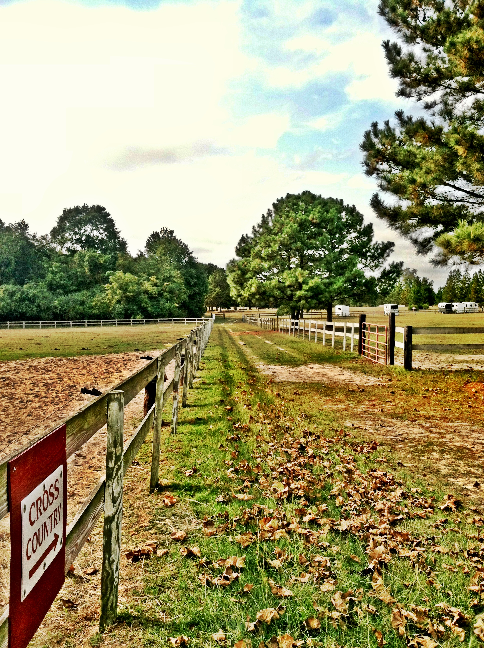
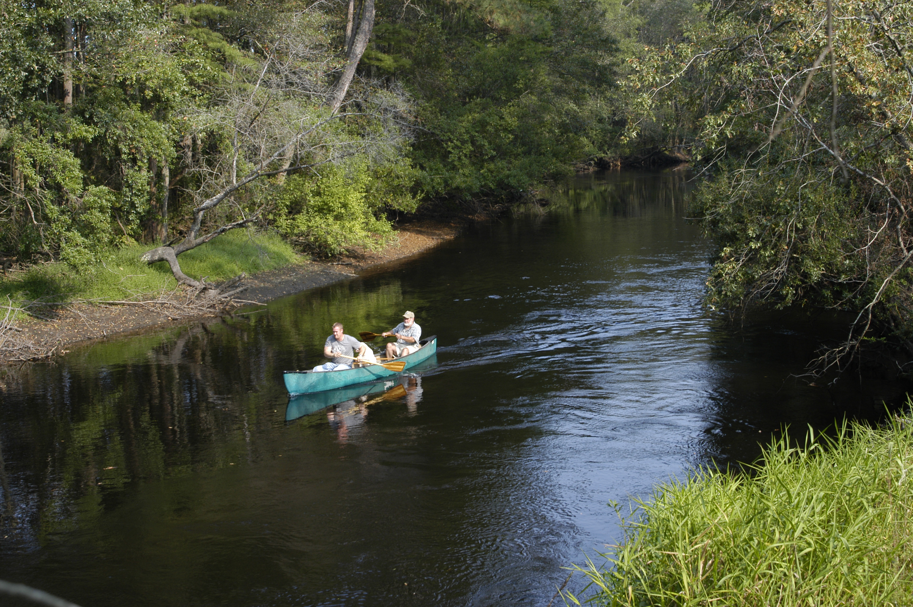
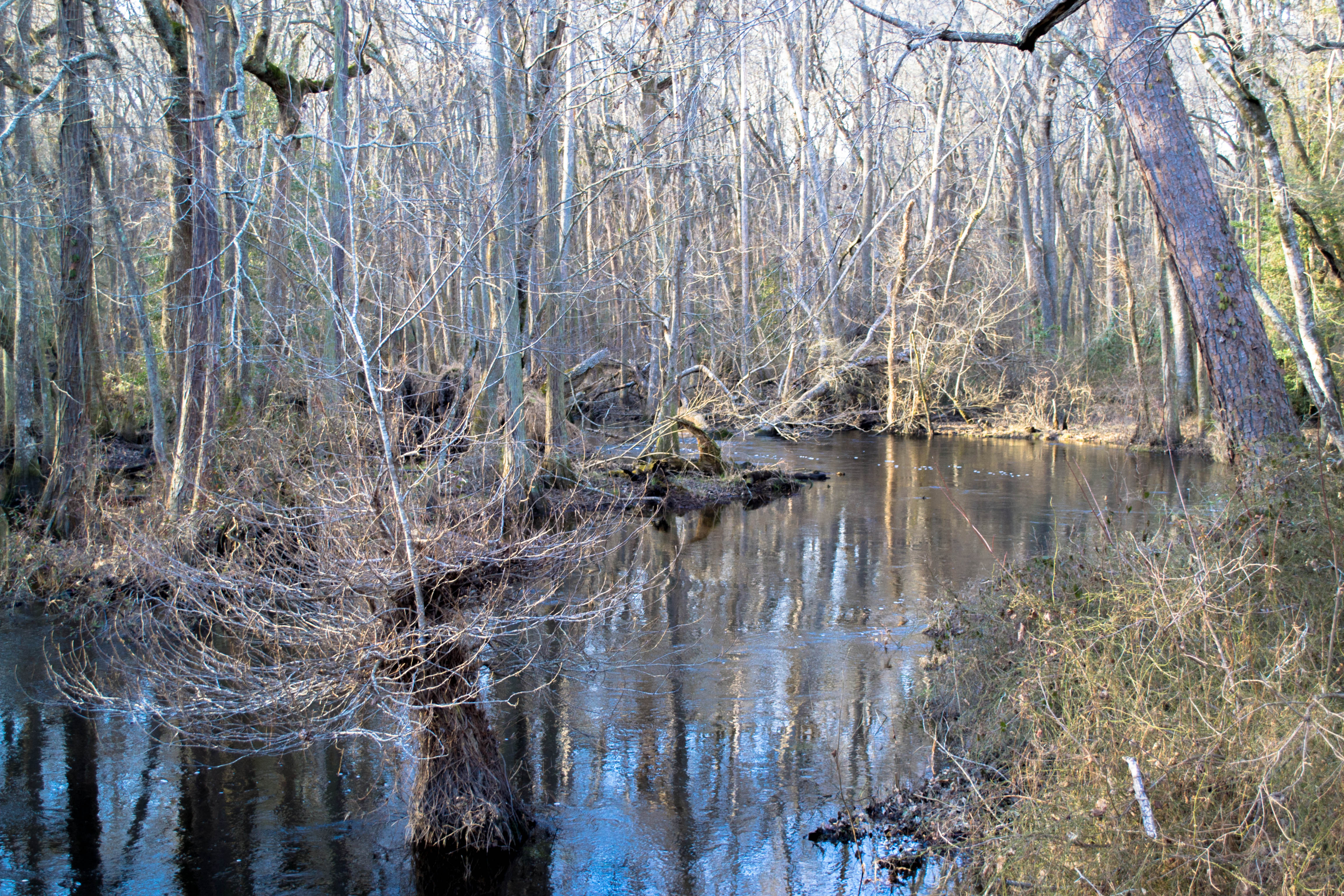
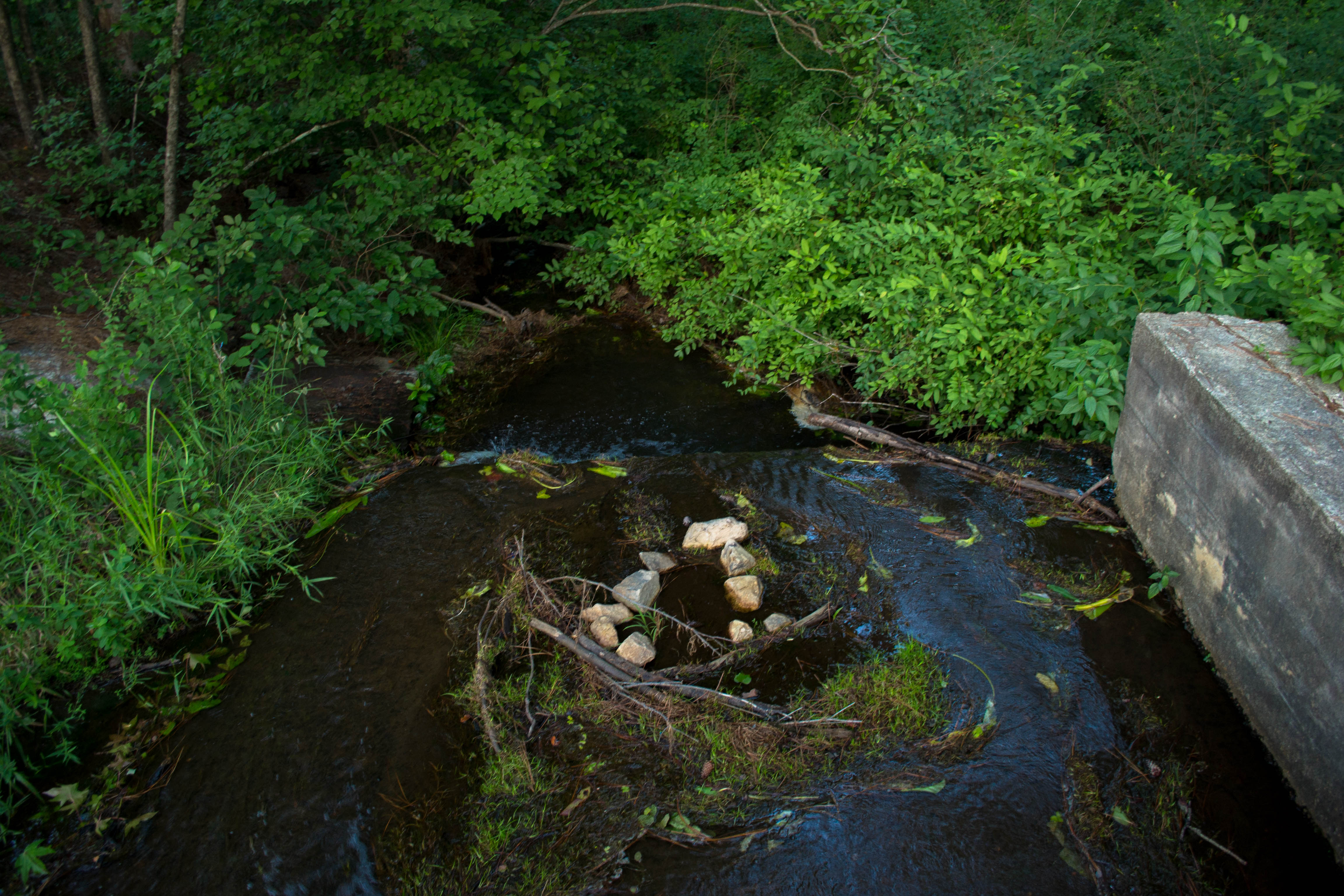
Related Photos:
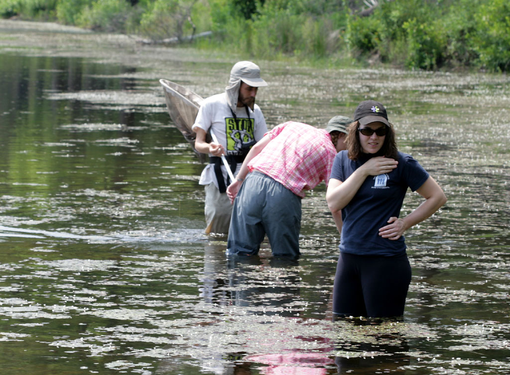
Duke Natural History Society members
Visited Grayboy today
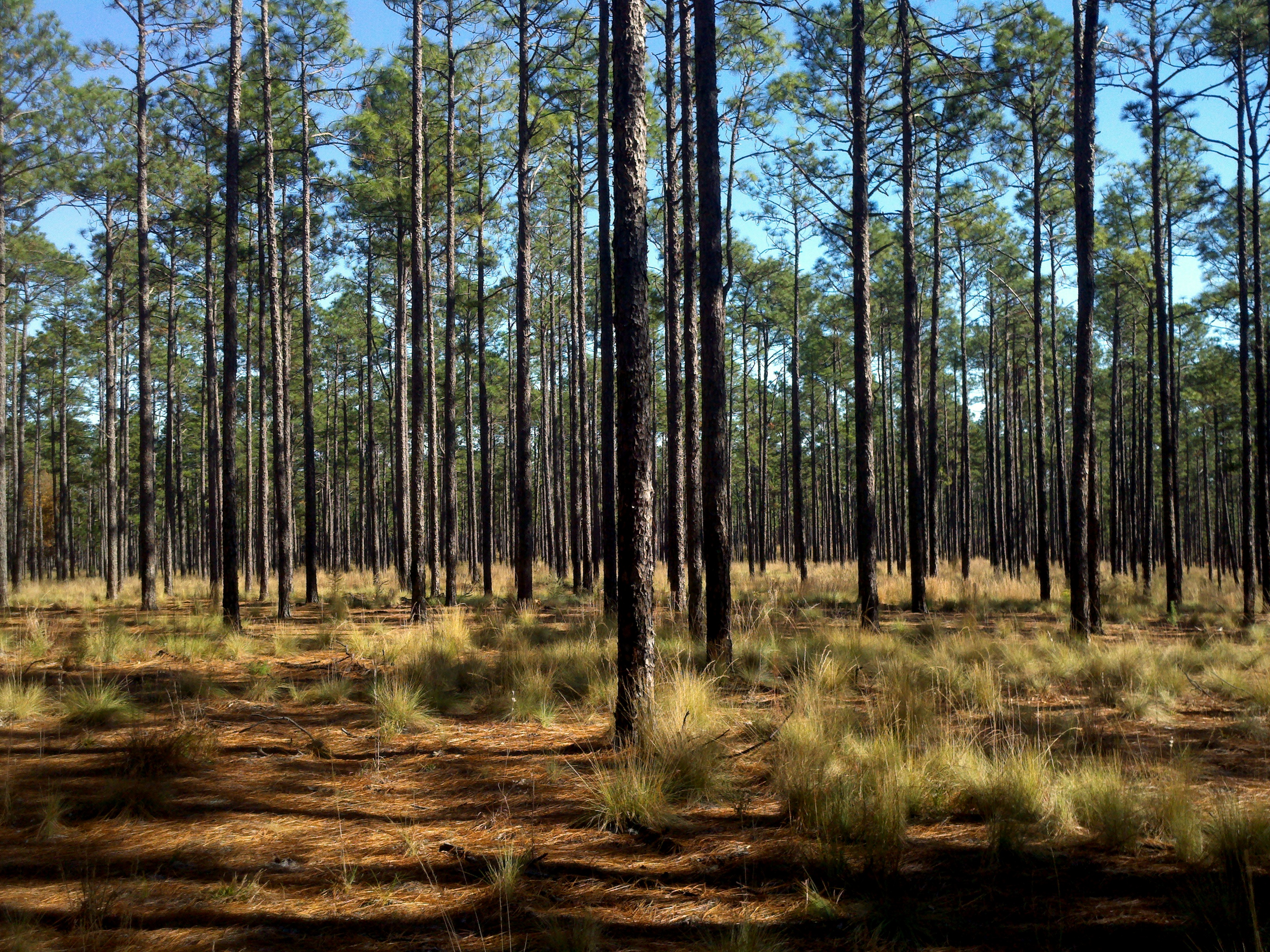
4 Long Leaf Pine Calloway Forest NC 13-35-45_+0.0Ev

1 Long Leaf Pine Sappling Calloway Forest NC 11-50-20_875
Laurinburg a 089

20140202-DSC_2318

20140823-DSC_3583

20140202-DSC_2314

20140202-DSC_2310
20140202-DSC_2312

20140202-DSC_2305
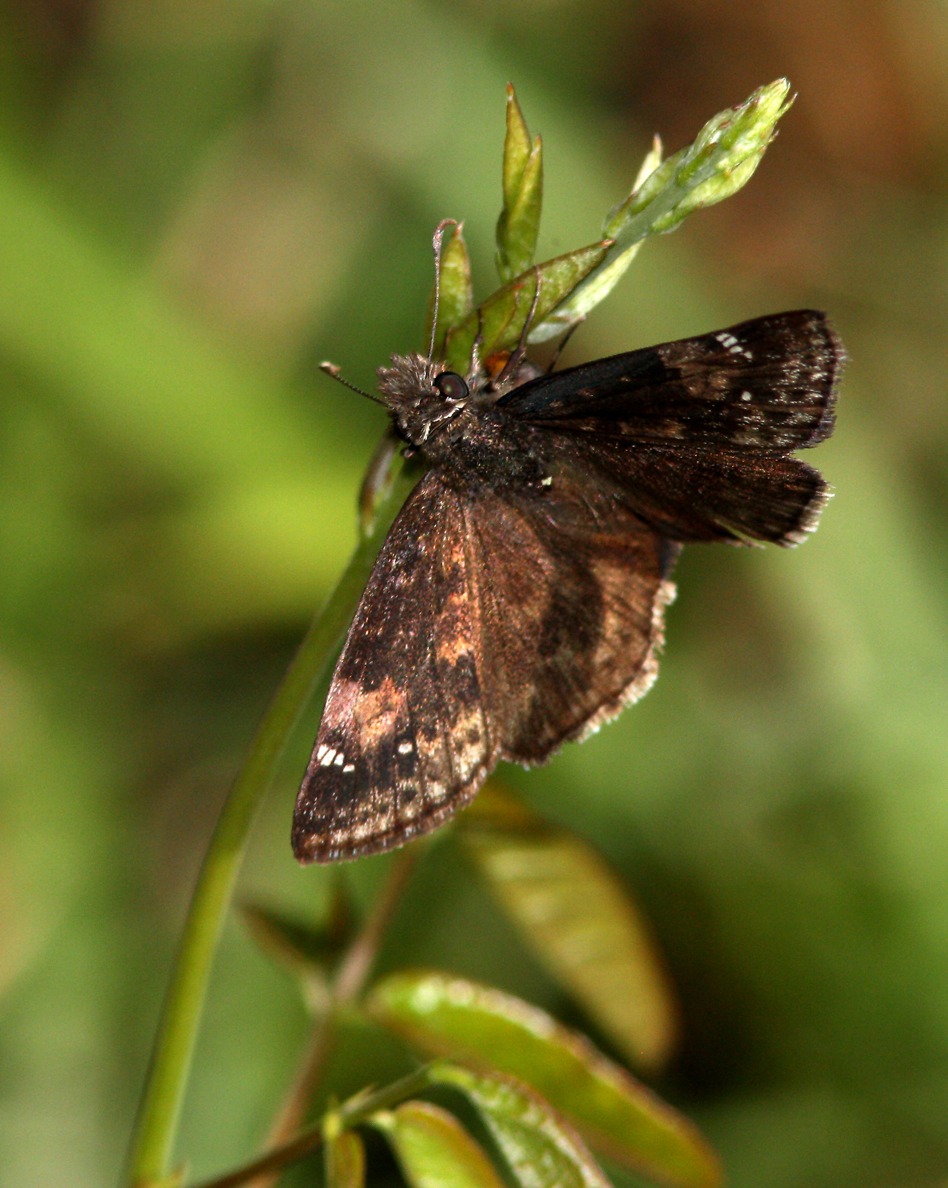
Zarucco Duskywing
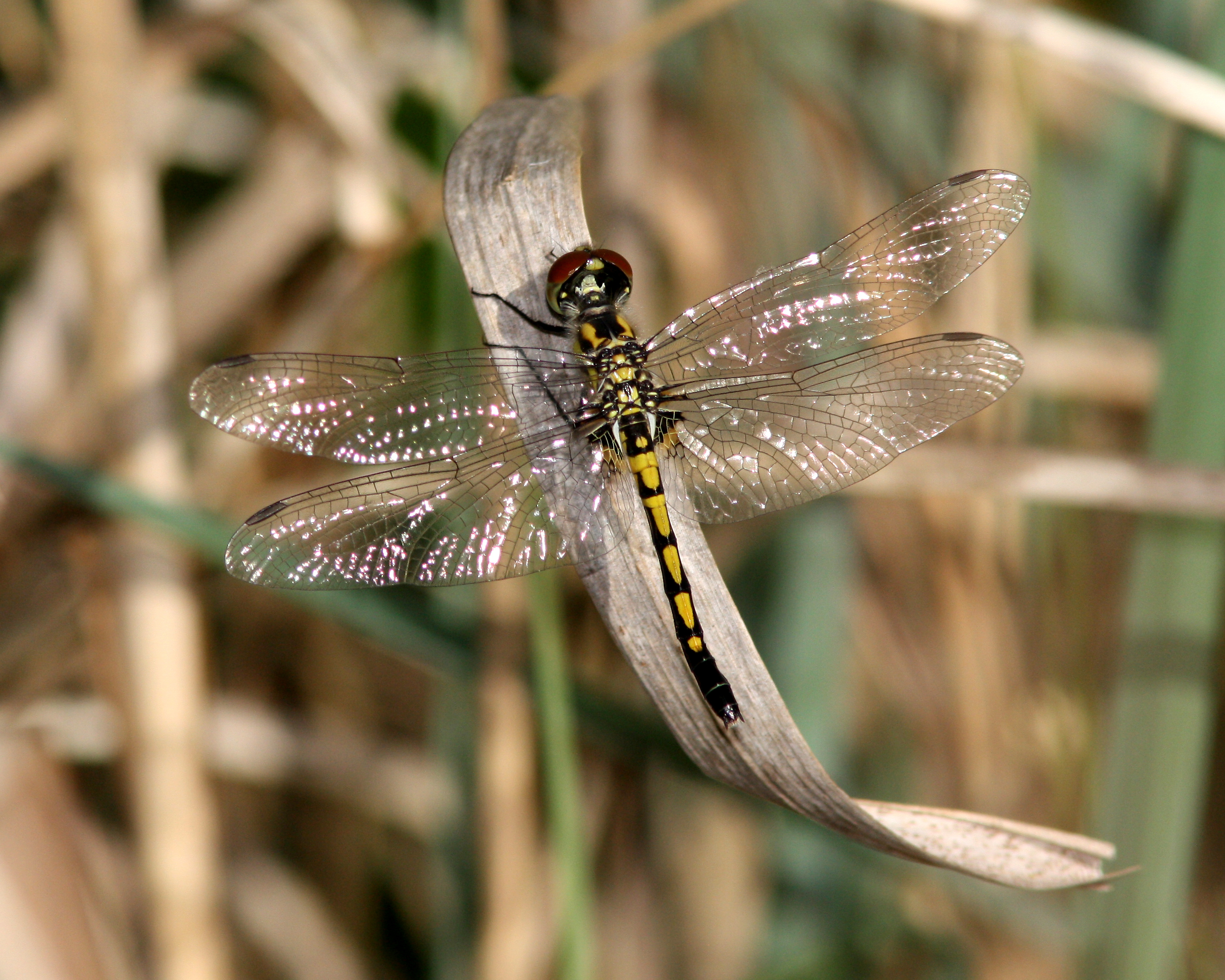
Ornate Pennant
20150725-DSC_8224
Topographic Map of Spring Hill, NC, USA
Find elevation by address:

Places in Spring Hill, NC, USA:
Places near Spring Hill, NC, USA:
Pendergrass Road
Wagram
15340 Palmer Rd
Bundy St, Wagram, NC, USA
185 Corda Pl
Quewhiffle
Batman Wildlife & Chimney Swp
Woodberry Dr, Raeford, NC, USA
22601 Aberdeen Rd
Laurel Hill Township
Scotland County
301 Mccain St
176 Quewhiffle Rd
Ashemont Rd, Aberdeen, NC, USA
Raeford Road
Addor Rd, Aberdeen, NC, USA
121 Laurel Oak Ln
Kerr Lake Road
702 Legacy Lakes Way
385 Carolina Rd
Recent Searches:
- Elevation of Pykes Down, Ivybridge PL21 0BY, UK
- Elevation of Jalan Senandin, Lutong, Miri, Sarawak, Malaysia
- Elevation of Bilohirs'k
- Elevation of 30 Oak Lawn Dr, Barkhamsted, CT, USA
- Elevation of Luther Road, Luther Rd, Auburn, CA, USA
- Elevation of Unnamed Road, Respublika Severnaya Osetiya — Alaniya, Russia
- Elevation of Verkhny Fiagdon, North Ossetia–Alania Republic, Russia
- Elevation of F. Viola Hiway, San Rafael, Bulacan, Philippines
- Elevation of Herbage Dr, Gulfport, MS, USA
- Elevation of Lilac Cir, Haldimand, ON N3W 2G9, Canada