Elevation of Raeford, NC, USA
Location: United States > North Carolina > Hoke County >
Longitude: -79.233837
Latitude: 35.0095809
Elevation: 61m / 200feet
Barometric Pressure: 101KPa
Elevation Map:
Satellite Map:
Related Photos:
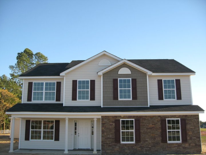
Westover B with stone

Mott Lake 2

Lumber River (4)

Lumber River (2)

Lumber River State Park

Get the dog!

February Swamp

1 Long Leaf Pine Sappling Calloway Forest NC 11-50-20_875

4 Long Leaf Pine Calloway Forest NC 13-35-45_+0.0Ev

7 Long Leaf Pine Calloway Forest NC 13-40-07_347

2 Long Leaf Pine Calloway Forest NC 11-50-28_109

Laurinburg a 089
20160618-DSC_2422

20150516-DSC_6635

20161210-DSC_6217
Visited Grayboy today
20140823-DSC_3583
Topographic Map of Raeford, NC, USA
Find elevation by address:

Places in Raeford, NC, USA:
Places near Raeford, NC, USA:
Silver City
Raeford
Hoke County
301 Mccain St
123 Dolores Ct
Mclauchlin
1169 S Parker Church Rd
233 Gibson Dr
330 Morgan Dr
220 Morgan Dr
Ashemont Rd, Aberdeen, NC, USA
Pendergrass Road
185 Corda Pl
Quewhiffle
176 Quewhiffle Rd
213 Stornoway Dr
385 Carolina Rd
702 Legacy Lakes Way
Kerr Lake Road
534 Shelton Dr
Recent Searches:
- Elevation of Elwyn Dr, Roanoke Rapids, NC, USA
- Elevation of Congressional Dr, Stevensville, MD, USA
- Elevation of Bellview Rd, McLean, VA, USA
- Elevation of Stage Island Rd, Chatham, MA, USA
- Elevation of Shibuya Scramble Crossing, 21 Udagawacho, Shibuya City, Tokyo -, Japan
- Elevation of Jadagoniai, Kaunas District Municipality, Lithuania
- Elevation of Pagonija rock, Kranto 7-oji g. 8"N, Kaunas, Lithuania
- Elevation of Co Rd 87, Jamestown, CO, USA
- Elevation of Tenjo, Cundinamarca, Colombia
- Elevation of Côte-des-Neiges, Montreal, QC H4A 3J6, Canada