Elevation of Wise Rd, Brandenburg, KY, USA
Location: United States > Kentucky > Meade County > Brandenburg >
Longitude: -86.154149
Latitude: 37.9679286
Elevation: 195m / 640feet
Barometric Pressure: 99KPa
Elevation Map:
Satellite Map:
Related Photos:

41/365 = Blue Water Freezes into Blue Ice in Fountain for Feb 10 2010
A Pier-ances
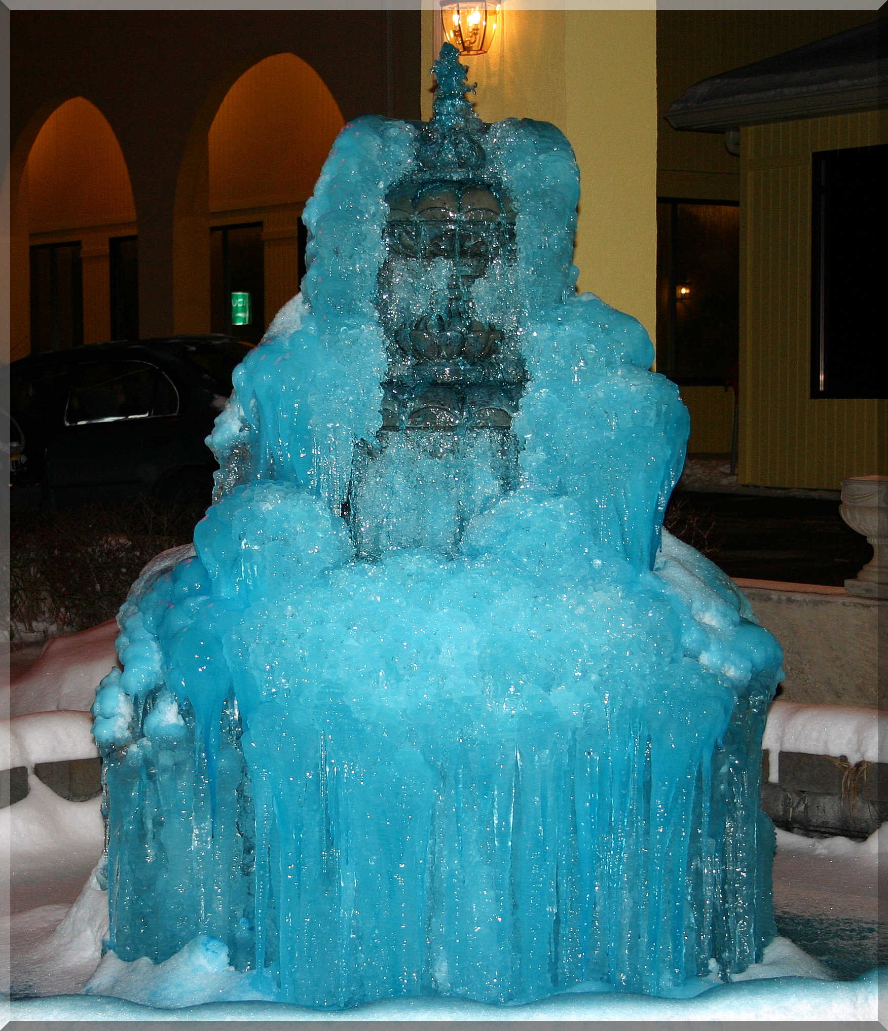
Ice Candle - Full View of Pic 41 for Feb 10 2010
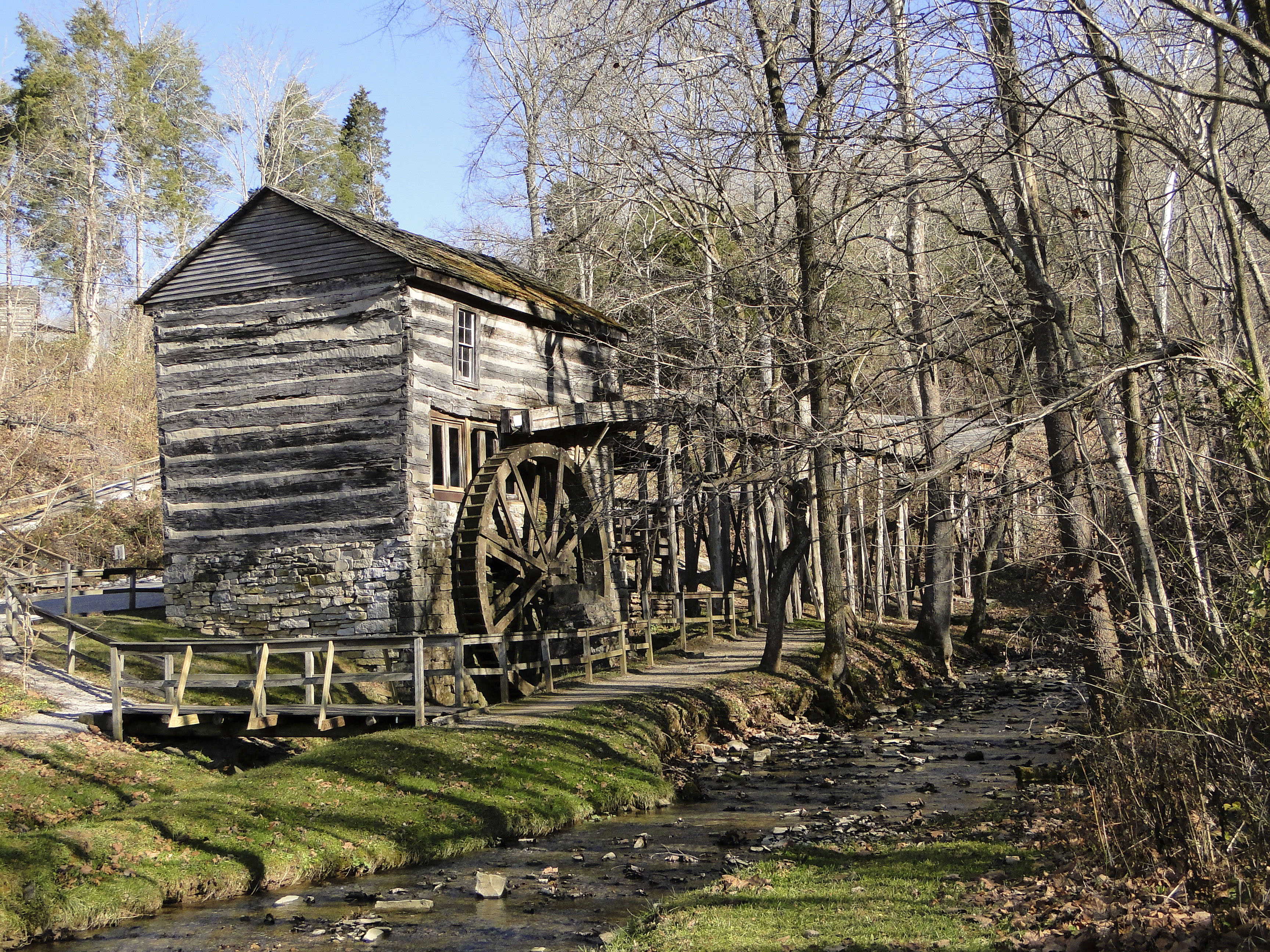
Grist Mill
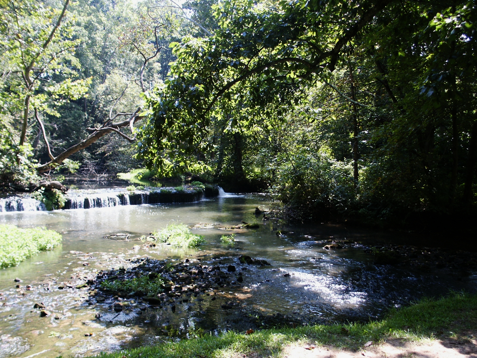
Stream & Small Falls at Doe Run Inn Property in Brandenburg Station, Kentucky
Walk way

Otter Creek Park, scenic river view
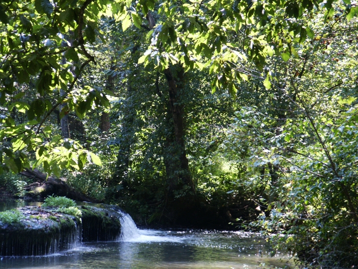
Small Falls at Doe Run - Side View

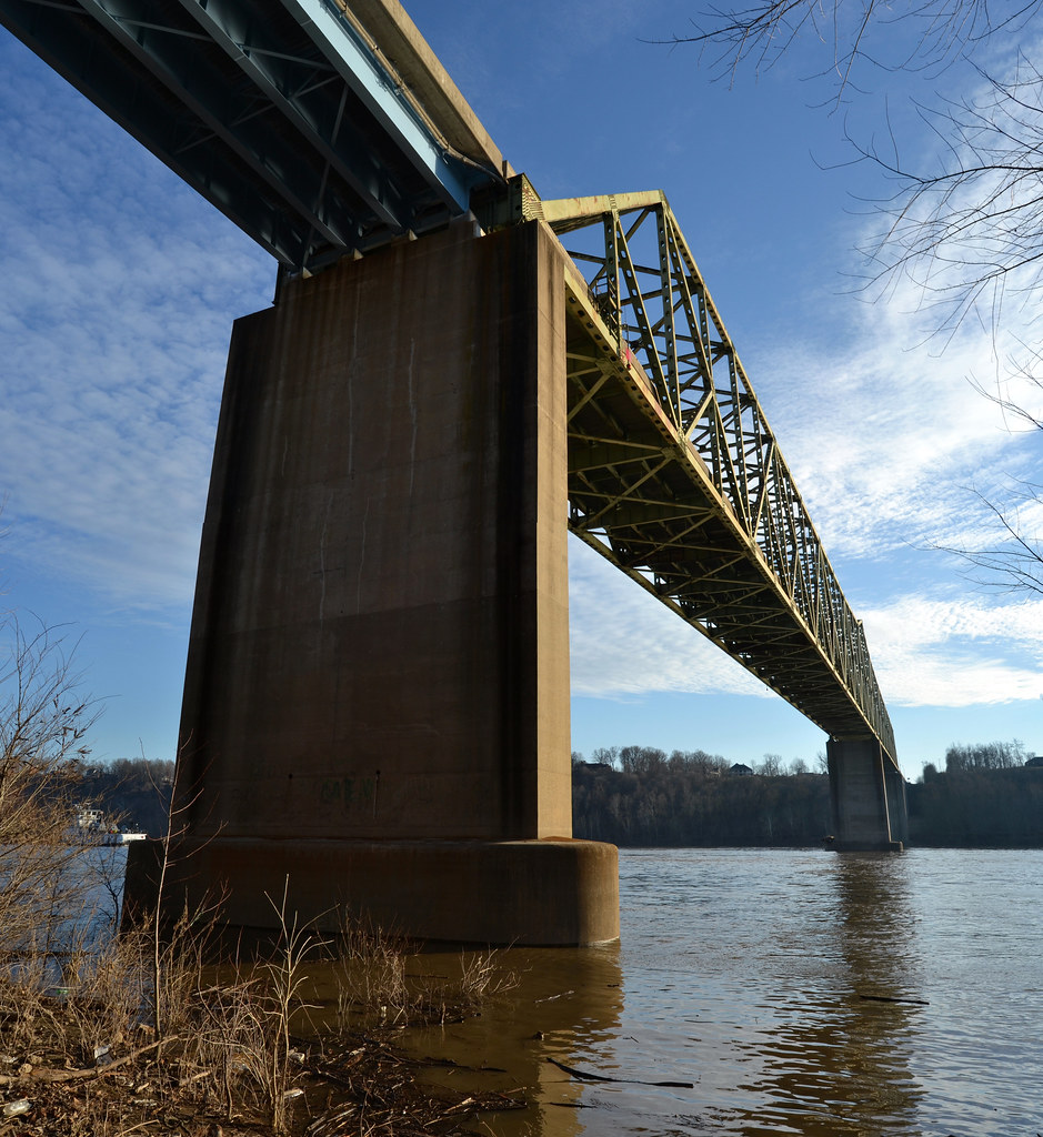
Matthew E. Welsh Bridge

Matthew E. Welsh Bridge

Winter Sunset

69/365

Winter Sunset KY 2
67/365

29/365

27/365

20/365
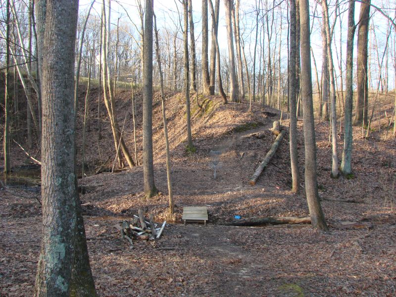
muldraugh 6 hole

7/365

10/365
muldraugh 9 tee
muldraugh 15 halfway

20080415-0001

Otter Creek Recreation Area - KY
CSX 8801 Q247 Irvington KY 09 Oct 2010
muldraugh 4 hole

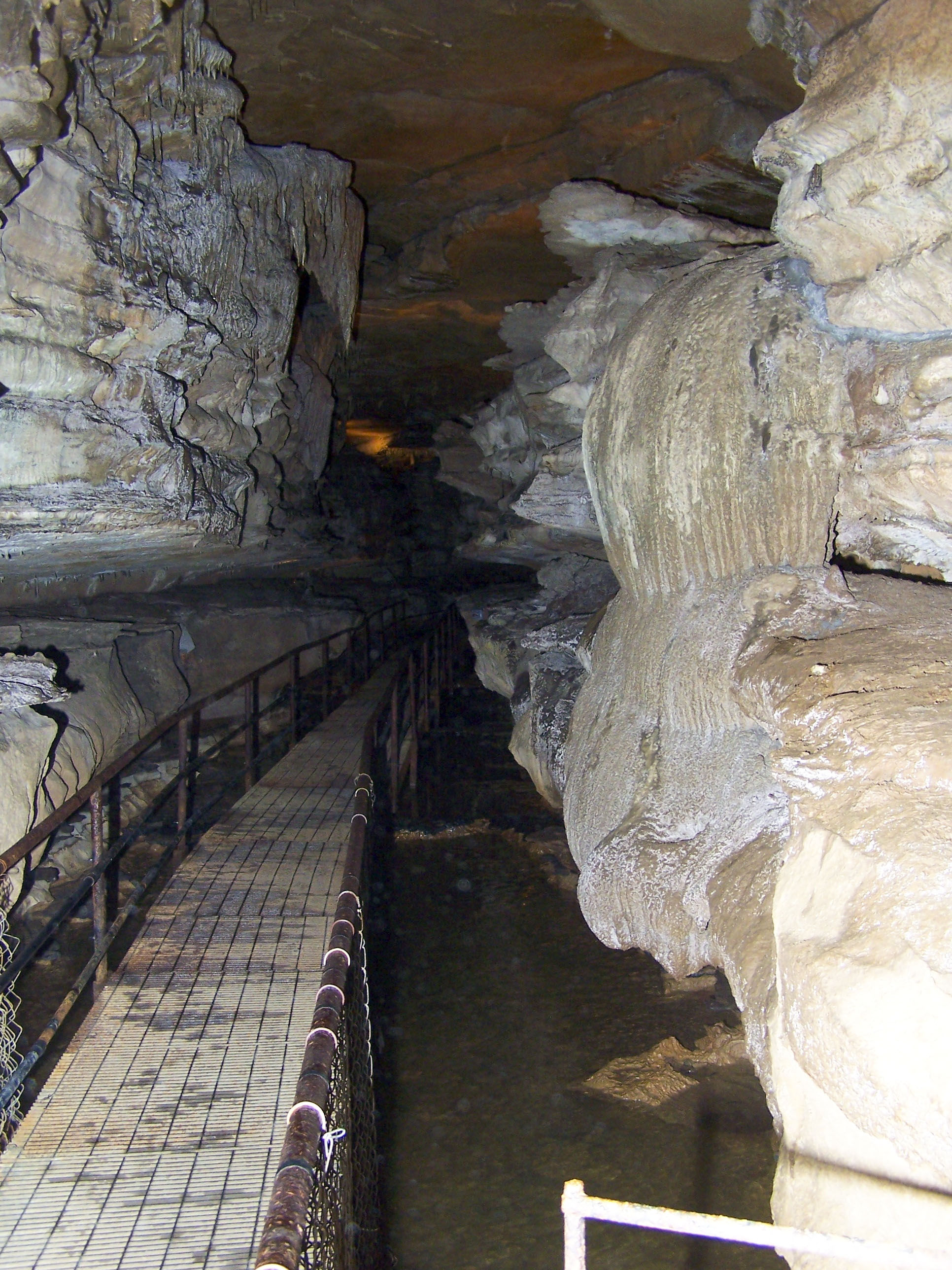
Into the Cave.........

Backyard Shadows
muldraugh 1 hole
Topographic Map of Wise Rd, Brandenburg, KY, USA
Find elevation by address:

Places near Wise Rd, Brandenburg, KY, USA:
Brandenburg Rd, Brandenburg, KY, USA
990 Doe Run Ekron Rd
Ekron
Meade County
100 Walnut Grove Rd
Rock Ridge Rd, Brandenburg, KY, USA
Rock Haven
385 Rolling Acres Dr
Woodland
504 Cross Ln
Irvington
KY-, Irvington, KY, USA
Flaherty Rd, Vine Grove, KY, USA
Pinwheel Road
809 Park Ave
Park Avenue
65 Nathan Ct
Fort Knox
314 Greenbriar Dr
314 Greenbriar Dr
Recent Searches:
- Elevation of 24 Oakland Rd #, Scotland, ON N0E 1R0, Canada
- Elevation of Deep Gap Farm Rd E, Mill Spring, NC, USA
- Elevation of Dog Leg Dr, Minden, NV, USA
- Elevation of Dog Leg Dr, Minden, NV, USA
- Elevation of Kambingan Sa Pansol Atbp., Purok 7 Pansol, Candaba, Pampanga, Philippines
- Elevation of Pinewood Dr, New Bern, NC, USA
- Elevation of Mountain View, CA, USA
- Elevation of Foligno, Province of Perugia, Italy
- Elevation of Blauwestad, Netherlands
- Elevation of Bella Terra Blvd, Estero, FL, USA