Elevation of Ekron, KY, USA
Location: United States > Kentucky > Meade County >
Longitude: -86.179414
Latitude: 37.9292349
Elevation: 198m / 650feet
Barometric Pressure: 99KPa
Elevation Map:
Satellite Map:
Related Photos:
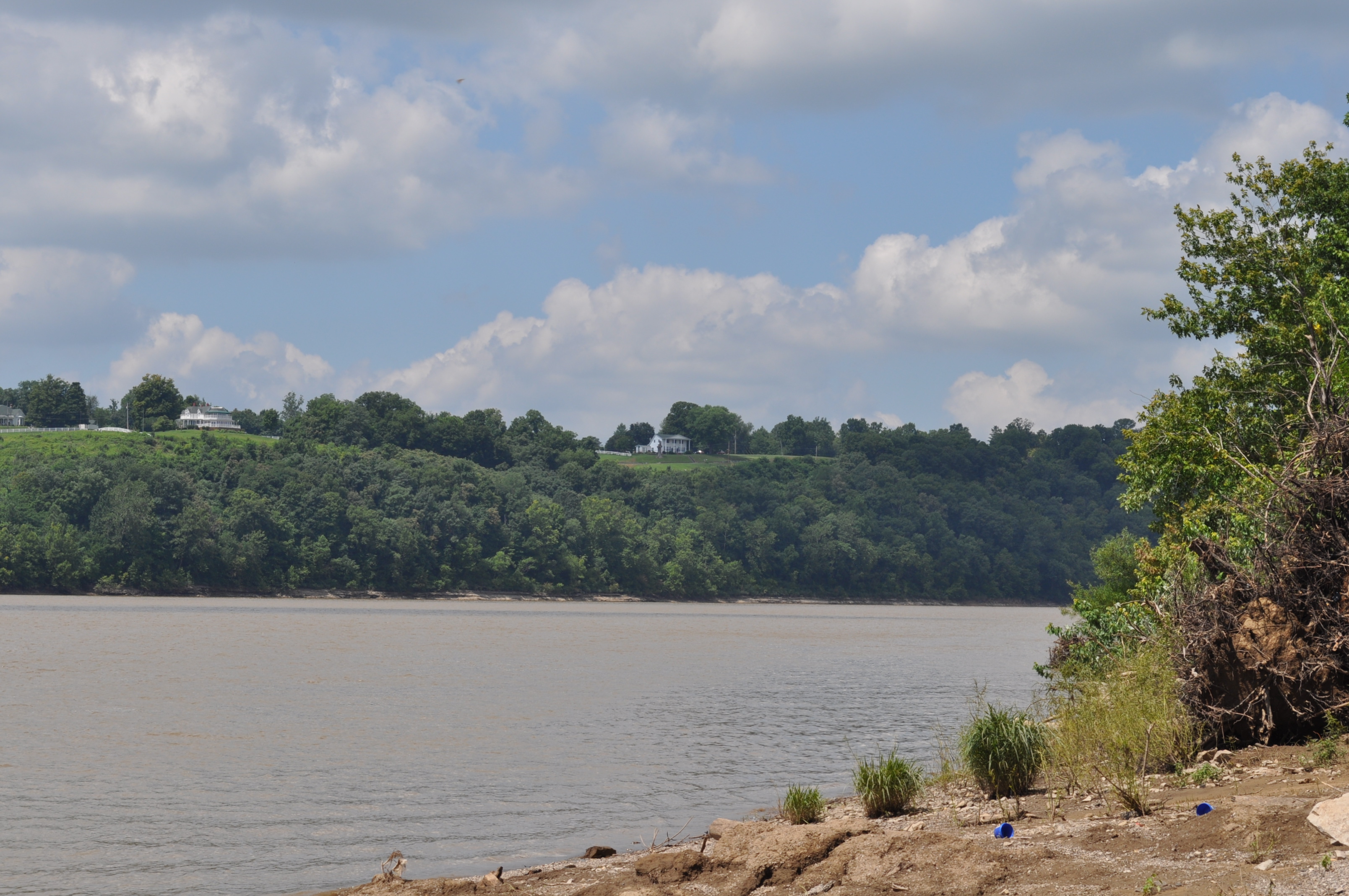
Morvin's Landing

Small Falls at Doe Run - Side View
Brandenburg's Riverfront Park from Morvin's Landing

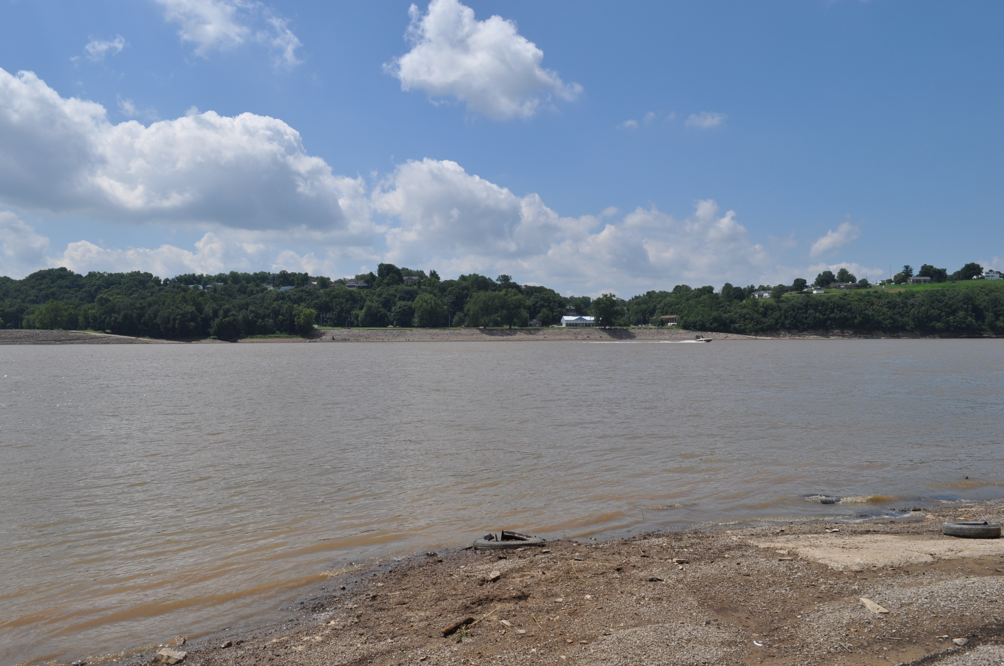
Otter Creek Park, scenic river view
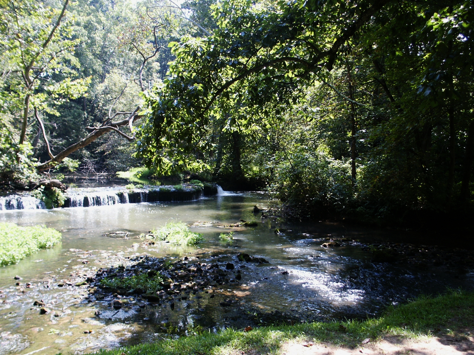
Stream & Small Falls at Doe Run Inn Property in Brandenburg Station, Kentucky

Rimstone Dam

Shot for Scale
Walk way
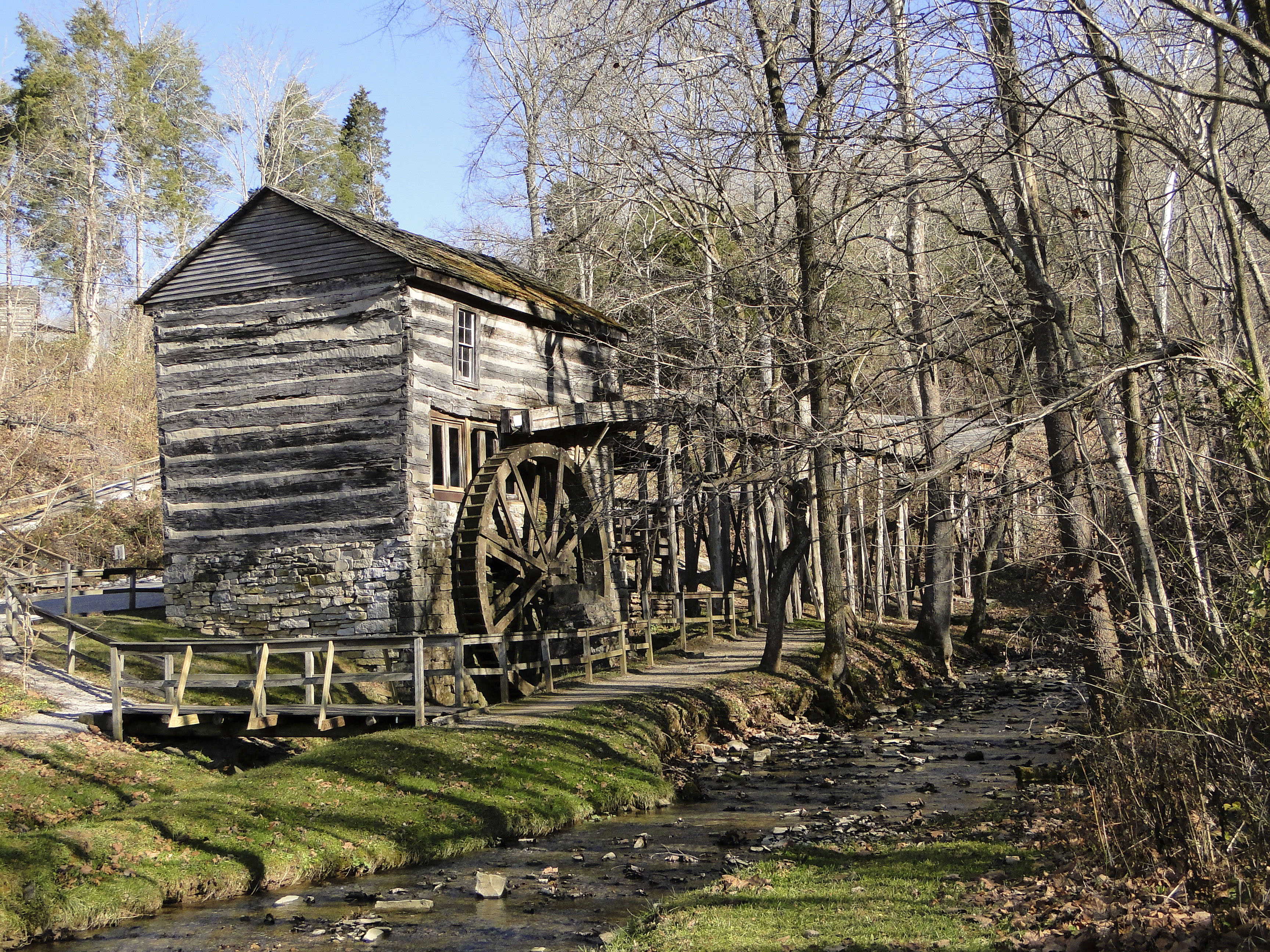
Grist Mill

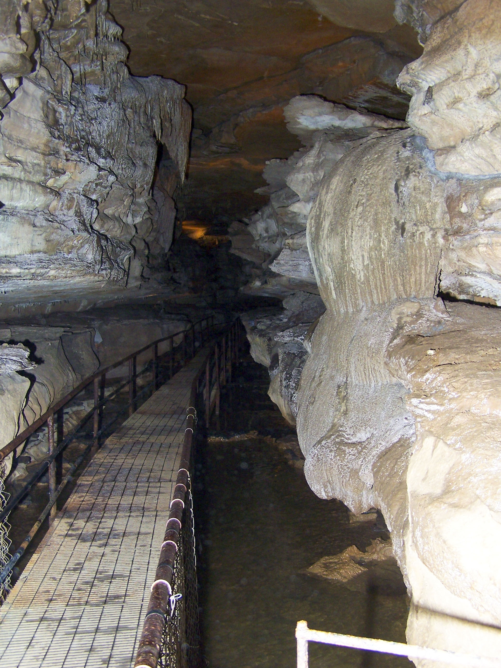
Squire Boone Caverns

69/365

67/365

Winter Sunset KY 2

29/365

27/365

7/365

Otter Creek Recreation Area - KY

20/365

10/365

Ohio River Sunset 2

Backyard Shadows

20080415-0001
Near Morvin's Landing

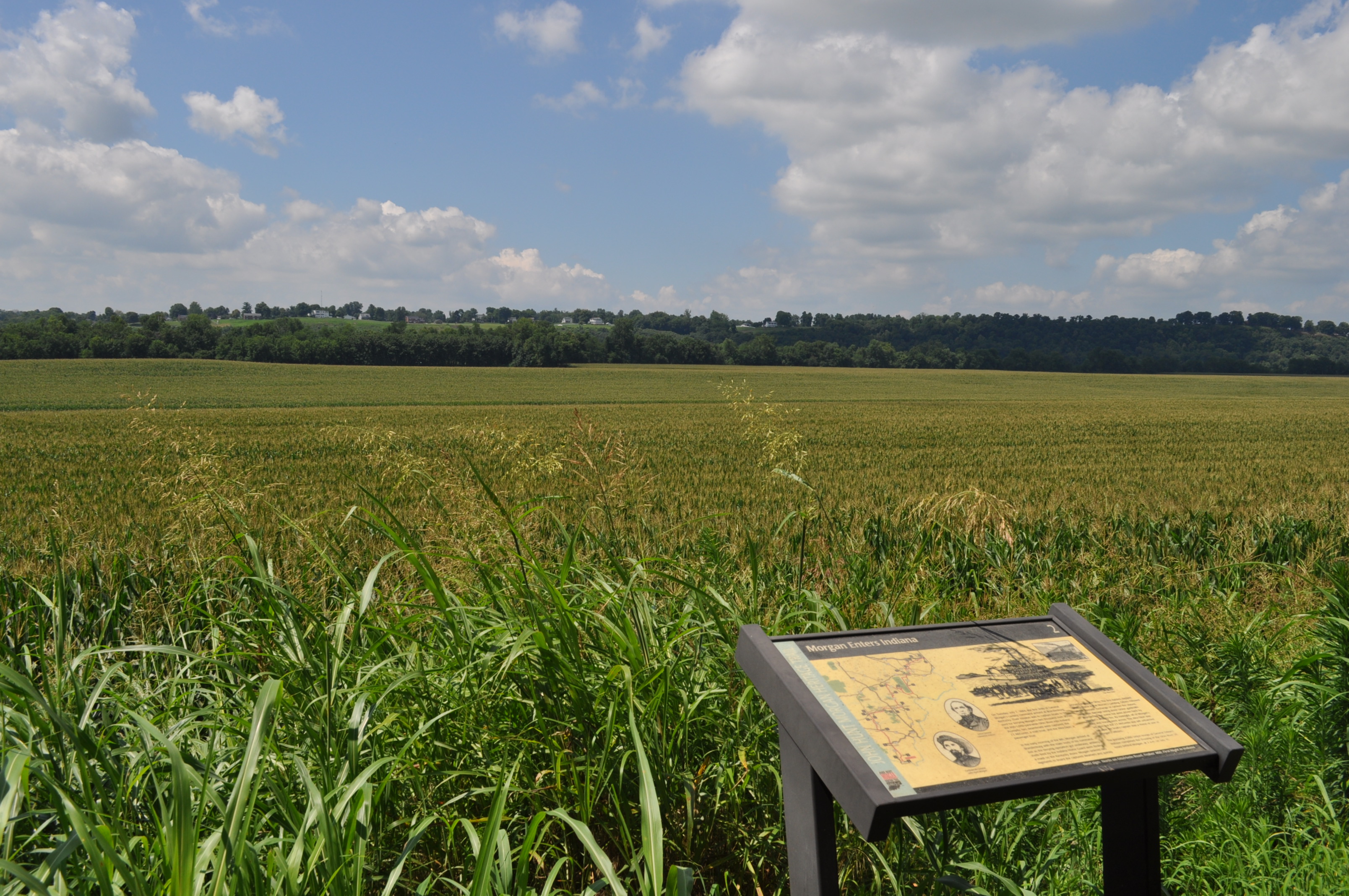
Tobacco field in KY #tobbaco #field #photography

20080321-0015

Ohio River Sunset 4
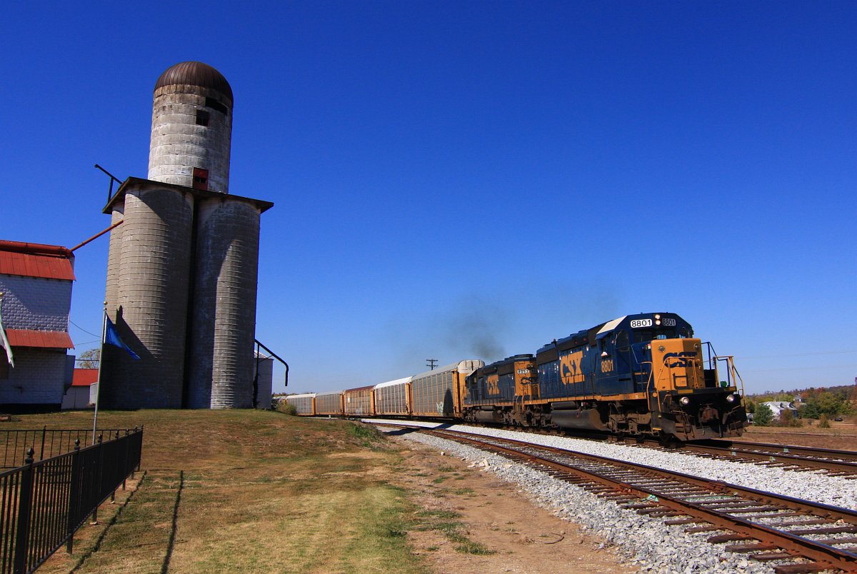
CSX 8801 Q247 Irvington KY 09 Oct 2010

Matthew E. Welsh Bridge
Topographic Map of Ekron, KY, USA
Find elevation by address:

Places near Ekron, KY, USA:
990 Doe Run Ekron Rd
695 Wise Rd
Meade County
Brandenburg Rd, Brandenburg, KY, USA
100 Walnut Grove Rd
385 Rolling Acres Dr
504 Cross Ln
KY-, Irvington, KY, USA
Irvington
Rock Ridge Rd, Brandenburg, KY, USA
809 Park Ave
Park Avenue
Rock Haven
Woodland
Flaherty Rd, Vine Grove, KY, USA
Pinwheel Road
65 Nathan Ct
KY-86, Irvington, KY, USA
KY-86, Custer, KY, USA
Custer
Recent Searches:
- Elevation of Dog Leg Dr, Minden, NV, USA
- Elevation of Dog Leg Dr, Minden, NV, USA
- Elevation of Kambingan Sa Pansol Atbp., Purok 7 Pansol, Candaba, Pampanga, Philippines
- Elevation of Pinewood Dr, New Bern, NC, USA
- Elevation of Mountain View, CA, USA
- Elevation of Foligno, Province of Perugia, Italy
- Elevation of Blauwestad, Netherlands
- Elevation of Bella Terra Blvd, Estero, FL, USA
- Elevation of Estates Loop, Priest River, ID, USA
- Elevation of Woodland Oak Pl, Thousand Oaks, CA, USA