Elevation of KY-86, Custer, KY, USA
Location: United States > Kentucky > Breckinridge County > Custer >
Longitude: -86.254277
Latitude: 37.7383306
Elevation: 250m / 820feet
Barometric Pressure: 98KPa
Elevation Map:
Satellite Map:
Related Photos:
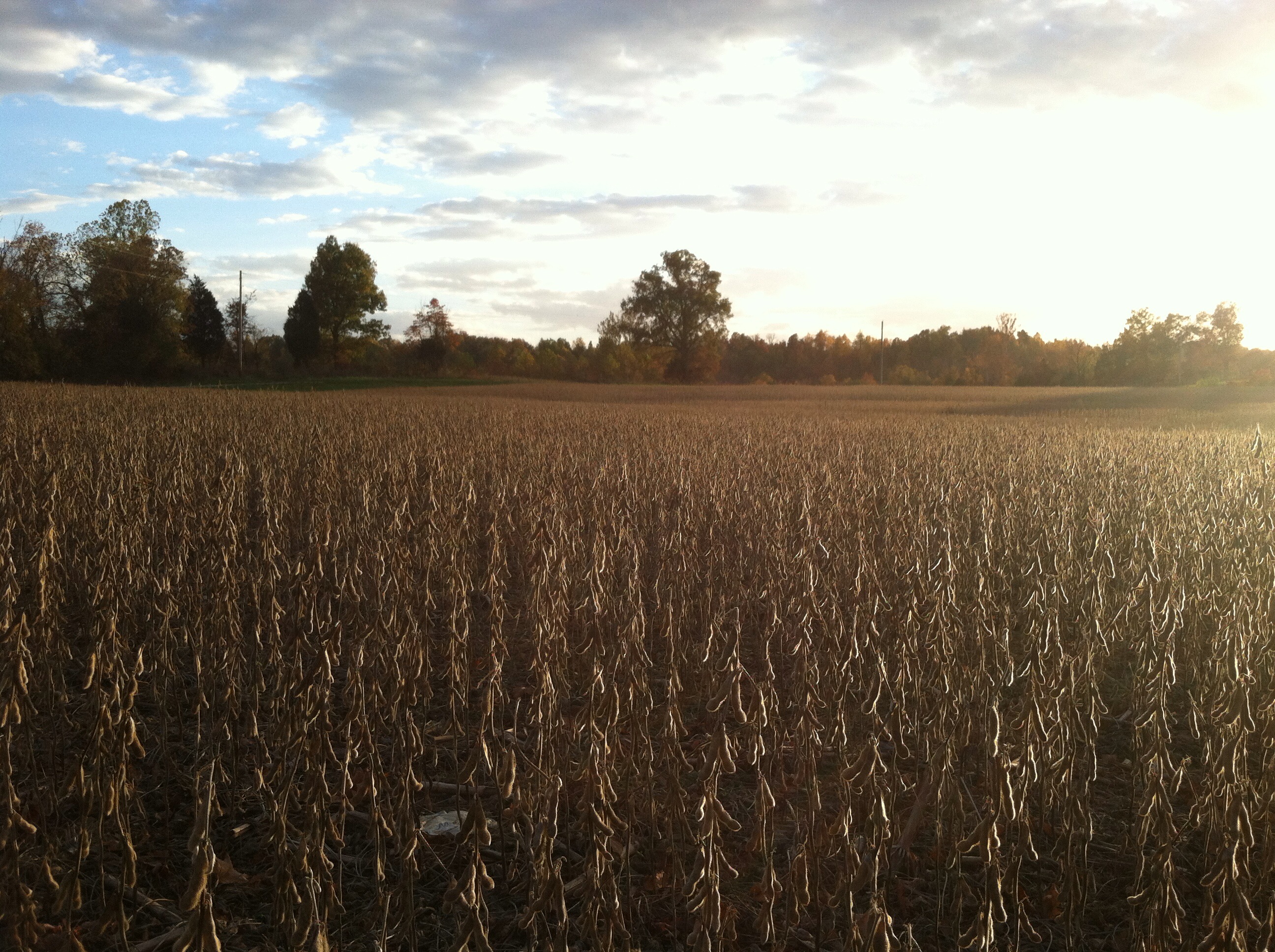
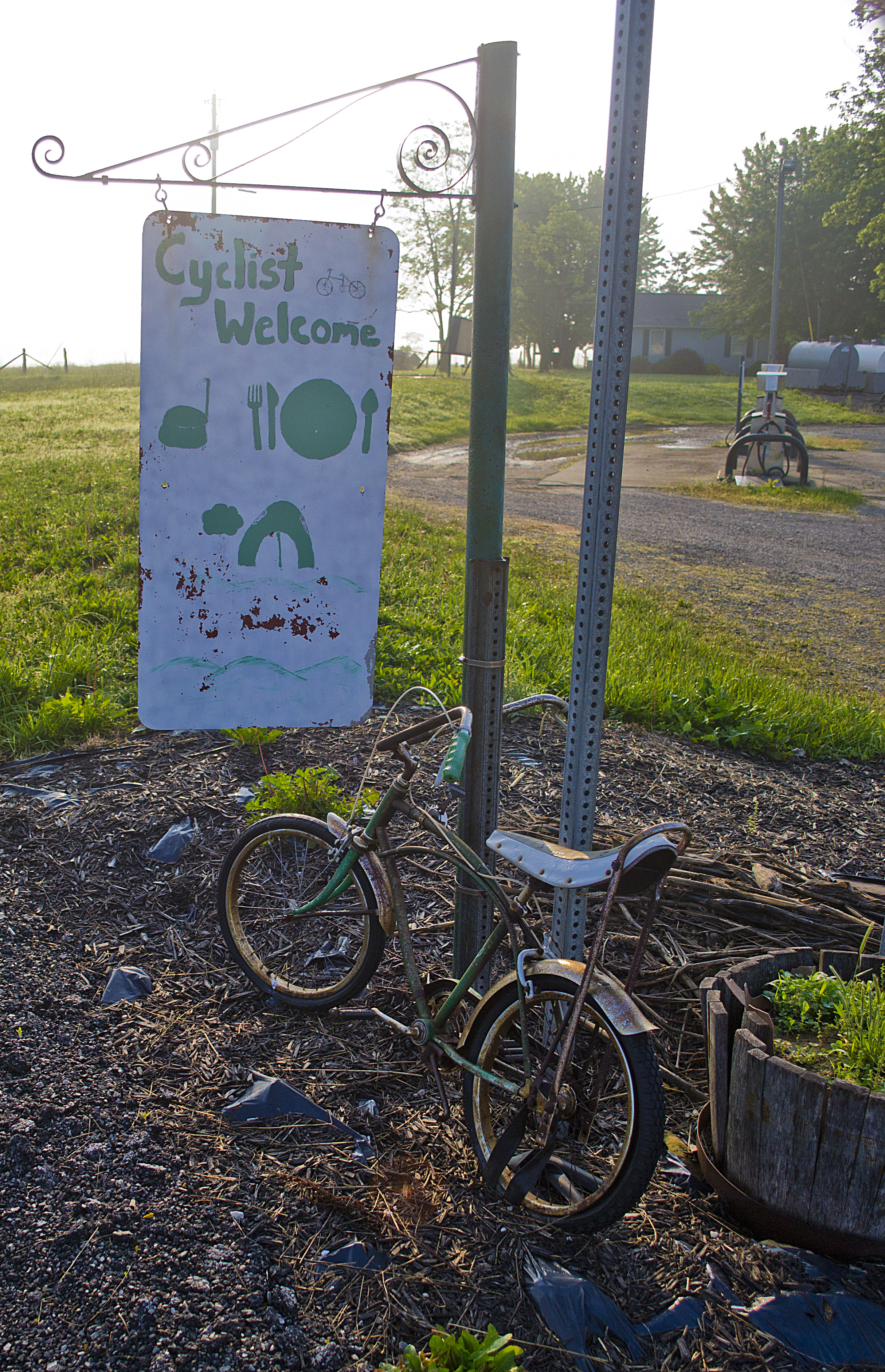
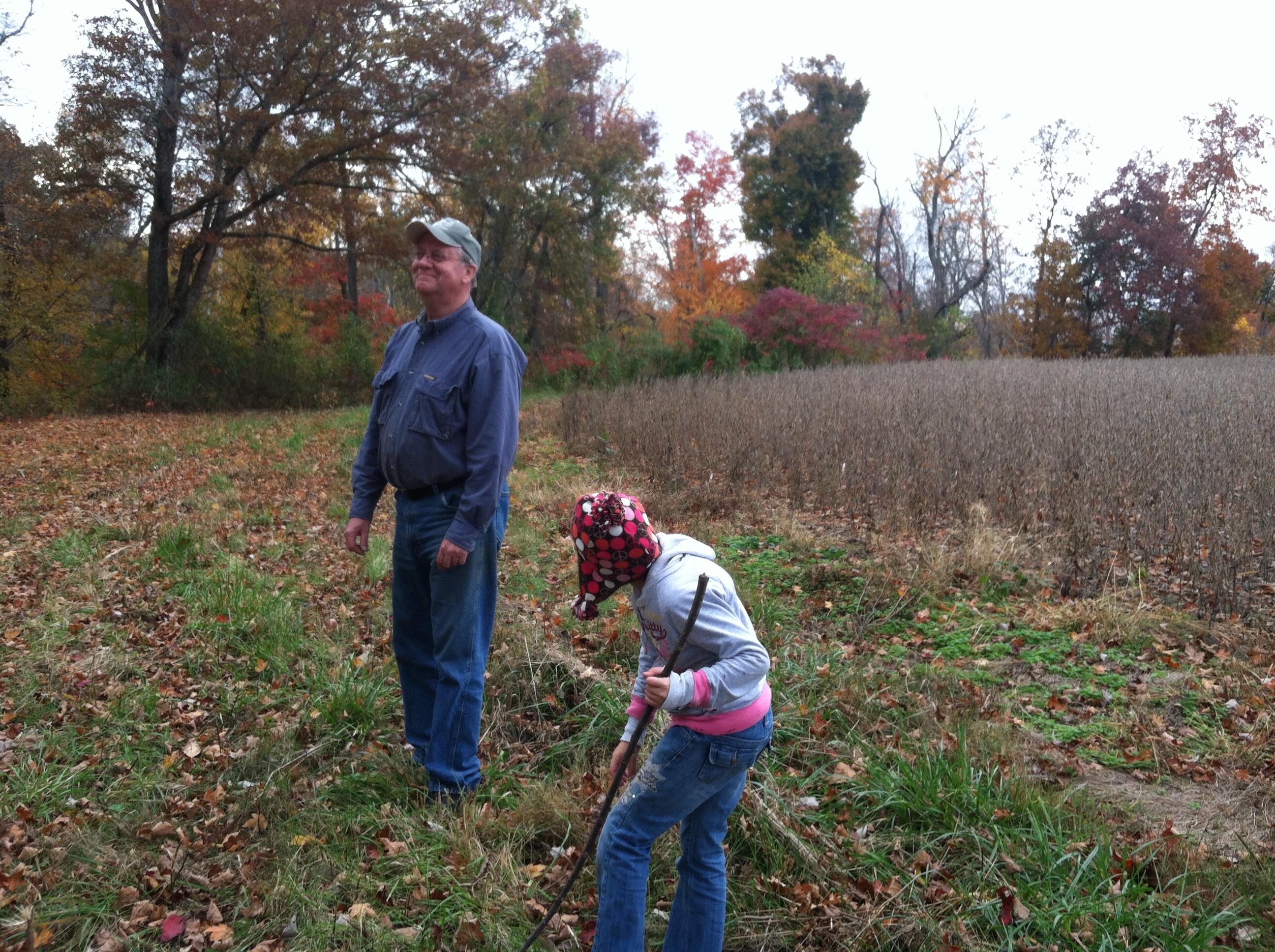
Kentucky 2012
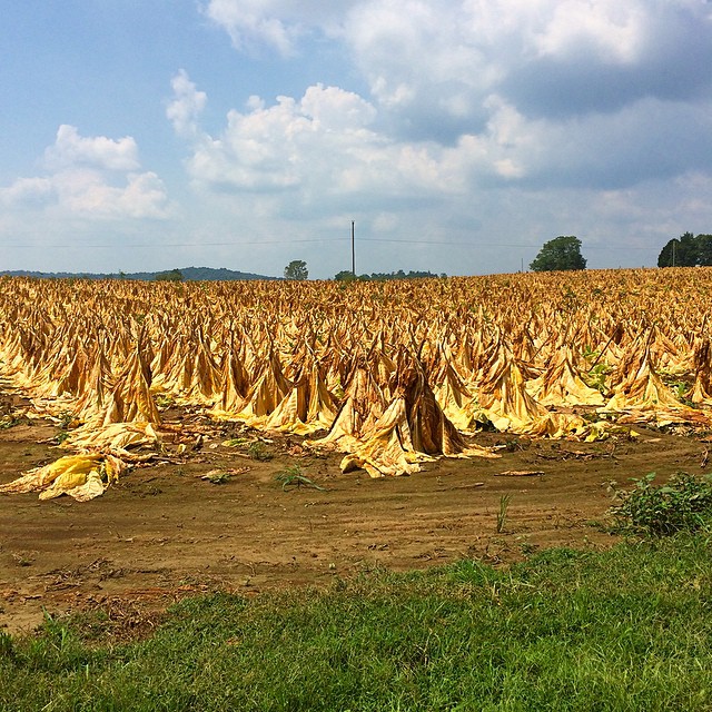
Tobacco field in KY #tobbaco #field #photography
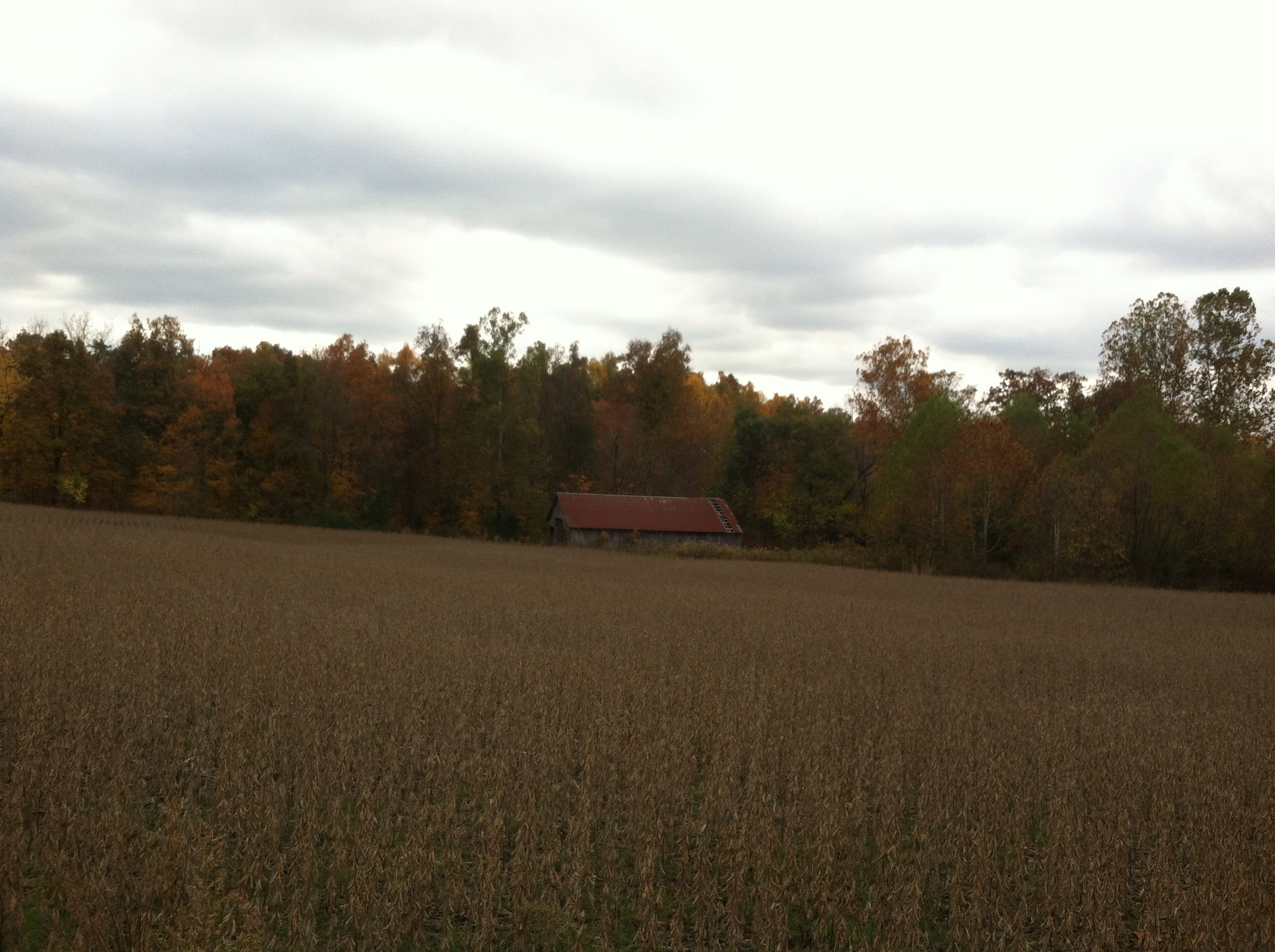
Kentucky 2012

Cash crops Old and New

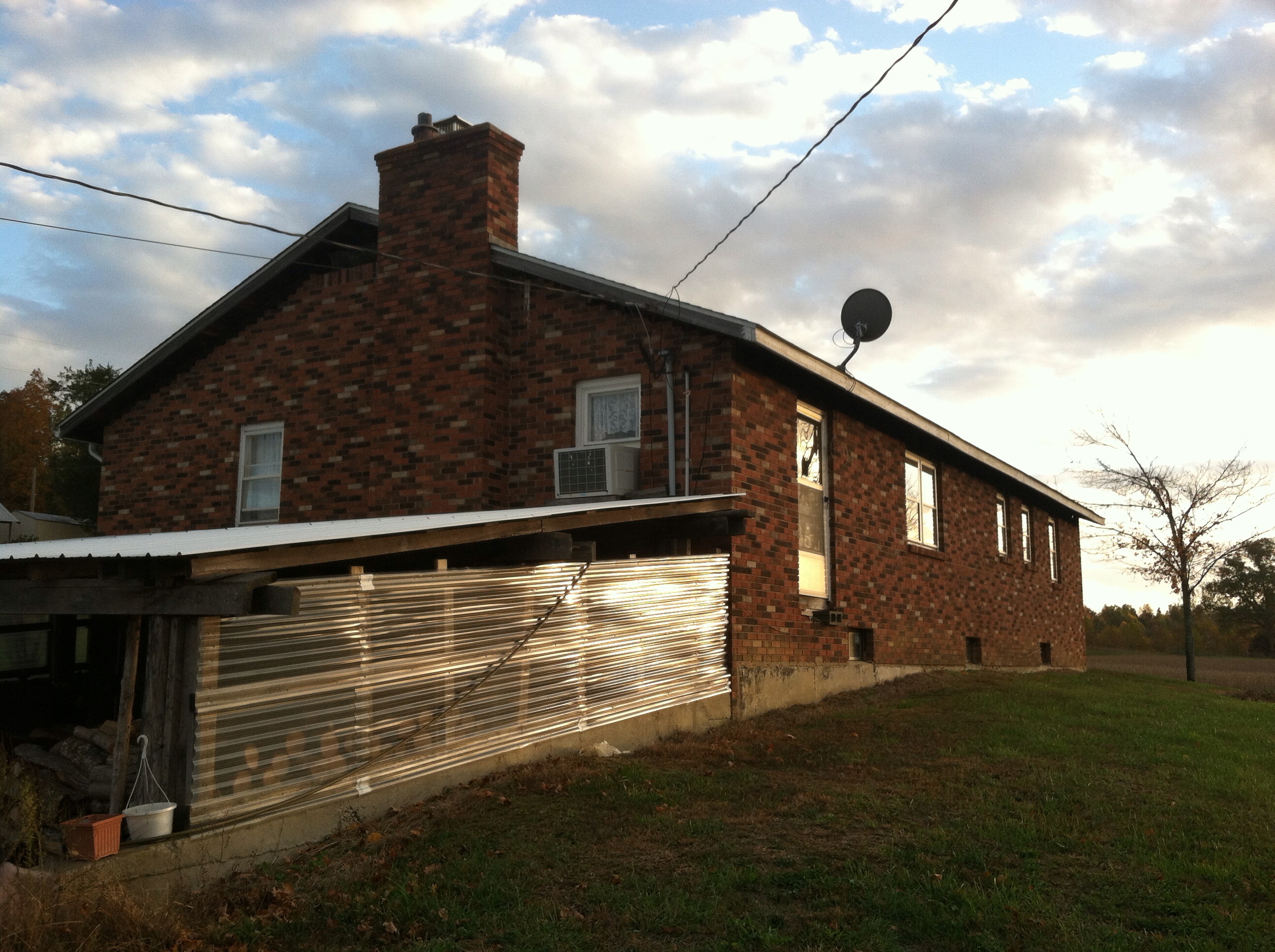
Danny's Place

Tobacco Field
Double "L" Grocery

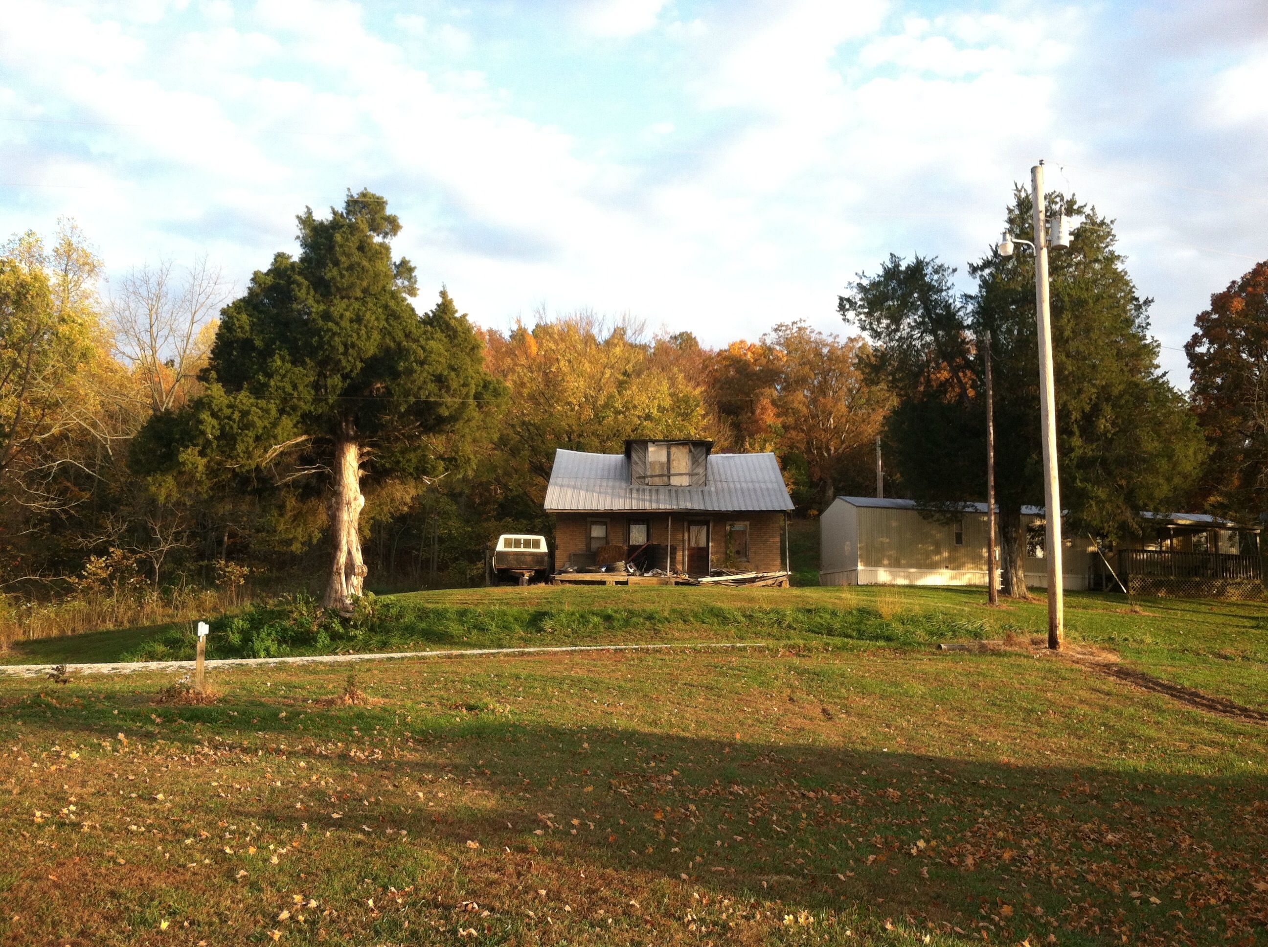
Abandoned - Custer House

Abandoned - Custer House

Post Office 40146 (Irvington, Kentucky)

Kentucky 2012

Kentucky 2012

Kentucky 2012

Kentucky 2012
Kentucky 2012

Kentucky 2012

Kentucky 2012
Kentucky 2012

Kentucky 2012
Kentucky 2012
Kentucky 2012
Topographic Map of KY-86, Custer, KY, USA
Find elevation by address:

Places near KY-86, Custer, KY, USA:
Custer
116 Redfern Ln
KY-86, Irvington, KY, USA
KY-, Irvington, KY, USA
Garfield
US-60, Harned, KY, USA
Kane Branch Ln, Eastview, KY, USA
504 Cross Ln
21485 Sonora Hardin Springs Rd
Park Avenue
809 Park Ave
Irvington
Salt River Rd, Leitchfield, KY, USA
Rineyville-Big Springs Rd, Rineyville, KY, USA
Oak St, Hardinsburg, KY, USA
9067 Rineyville-big Springs Rd
2040 Hickory Grove Rd
Ekron
South Ln, Leitchfield, KY, USA
Hardinsburg
Recent Searches:
- Elevation of Dog Leg Dr, Minden, NV, USA
- Elevation of Dog Leg Dr, Minden, NV, USA
- Elevation of Kambingan Sa Pansol Atbp., Purok 7 Pansol, Candaba, Pampanga, Philippines
- Elevation of Pinewood Dr, New Bern, NC, USA
- Elevation of Mountain View, CA, USA
- Elevation of Foligno, Province of Perugia, Italy
- Elevation of Blauwestad, Netherlands
- Elevation of Bella Terra Blvd, Estero, FL, USA
- Elevation of Estates Loop, Priest River, ID, USA
- Elevation of Woodland Oak Pl, Thousand Oaks, CA, USA