Elevation of Park Ave, Irvington, KY, USA
Location: United States > Kentucky > Breckinridge County > Irvington >
Longitude: -86.292838
Latitude: 37.8751877
Elevation: -10000m / -32808feet
Barometric Pressure: 295KPa
Elevation Map:
Satellite Map:
Related Photos:

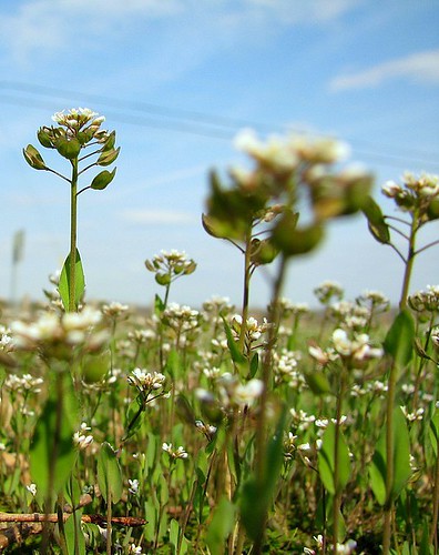
Breckinridge County
67/365

Winter Sunset KY 2

27/365

29/365

7/365

Sunset 12/8 Ky

Winter Sunset
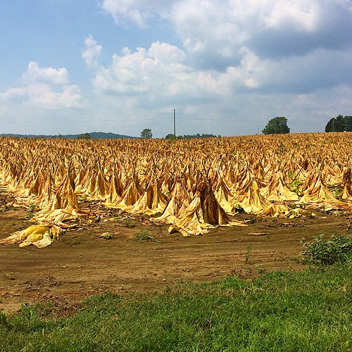
Tobacco field in KY #tobbaco #field #photography

CSX 8801 Q247 Irvington KY 09 Oct 2010
Topographic Map of Park Ave, Irvington, KY, USA
Find elevation by address:

Places near Park Ave, Irvington, KY, USA:
Park Avenue
Irvington
504 Cross Ln
KY-, Irvington, KY, USA
KY-86, Irvington, KY, USA
Garfield
US-60, Harned, KY, USA
Meade County
Ekron
KY-, Rhodelia, KY, USA
Custer
KY-86, Custer, KY, USA
990 Doe Run Ekron Rd
695 Wise Rd
KY-, Stephensport, KY, USA
Brandenburg Rd, Brandenburg, KY, USA
116 Redfern Ln
Oak St, Hardinsburg, KY, USA
Breckinridge County
100 Walnut Grove Rd
Recent Searches:
- Elevation of Kambingan Sa Pansol Atbp., Purok 7 Pansol, Candaba, Pampanga, Philippines
- Elevation of Pinewood Dr, New Bern, NC, USA
- Elevation of Mountain View, CA, USA
- Elevation of Foligno, Province of Perugia, Italy
- Elevation of Blauwestad, Netherlands
- Elevation of Bella Terra Blvd, Estero, FL, USA
- Elevation of Estates Loop, Priest River, ID, USA
- Elevation of Woodland Oak Pl, Thousand Oaks, CA, USA
- Elevation of Brownsdale Rd, Renfrew, PA, USA
- Elevation of Corcoran Ln, Suffolk, VA, USA