Elevation of Brandenburg Rd, Brandenburg, KY, USA
Location: United States > Kentucky > Meade County > Brandenburg >
Longitude: -86.140187
Latitude: 37.9679344
Elevation: 199m / 653feet
Barometric Pressure: 99KPa
Elevation Map:
Satellite Map:
Related Photos:
Morvin's Landing
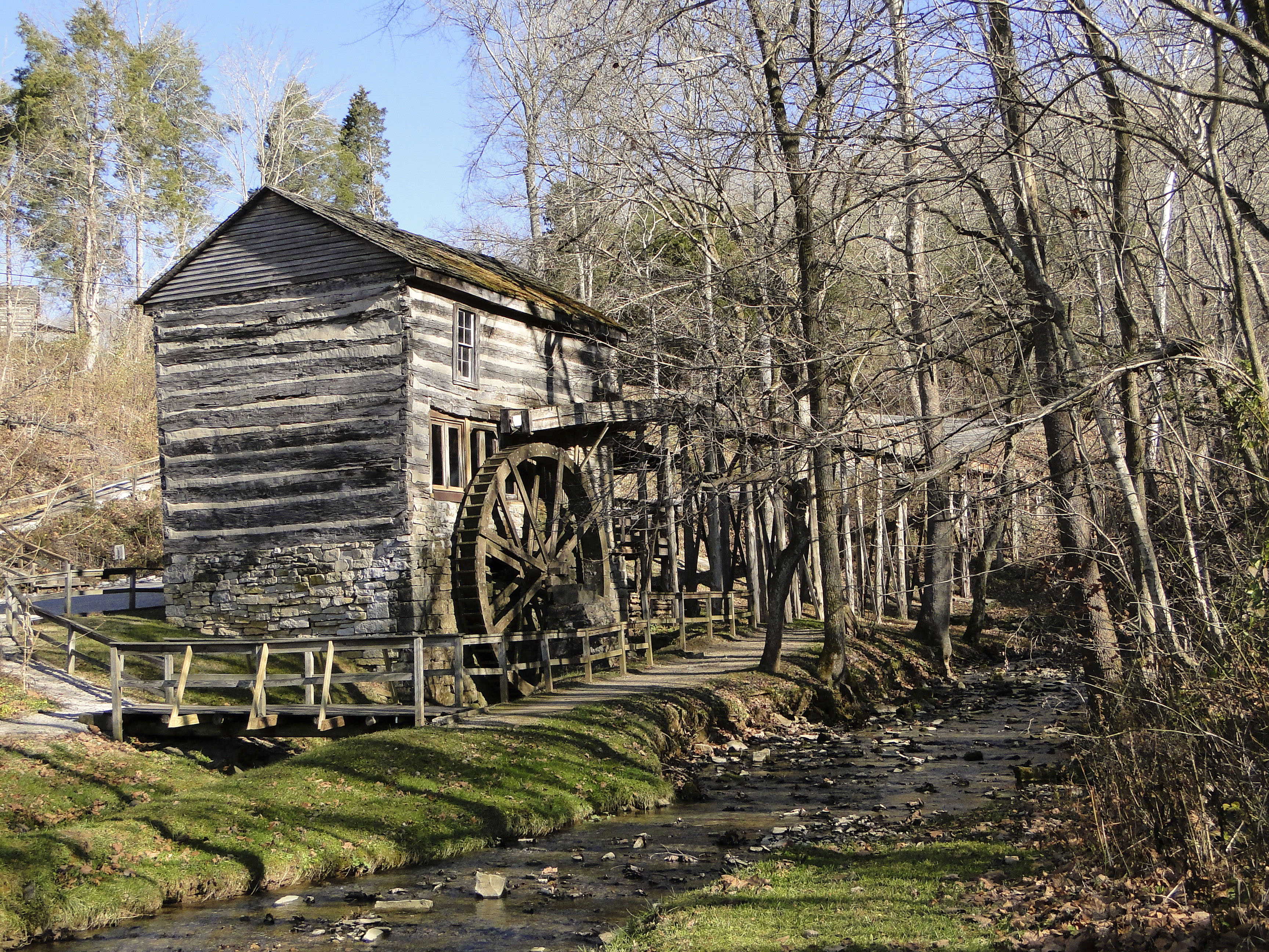
Grist Mill
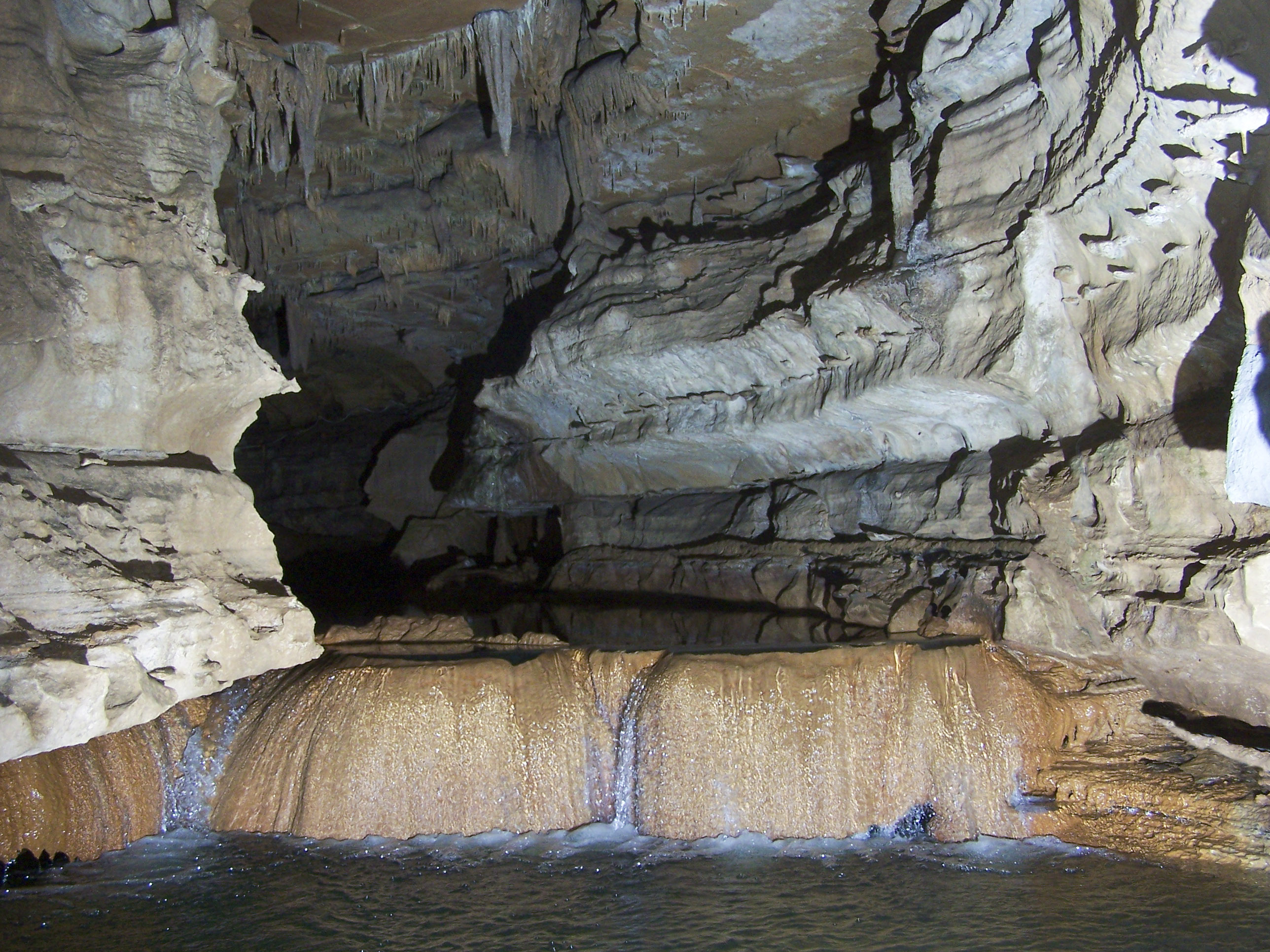
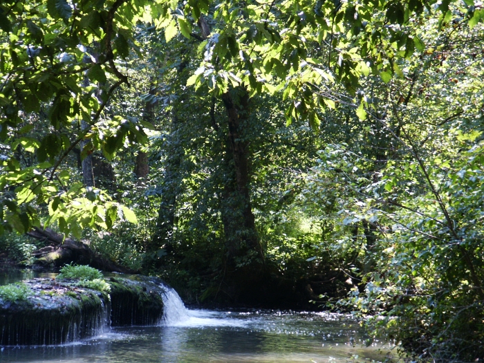
Rimstone Dam
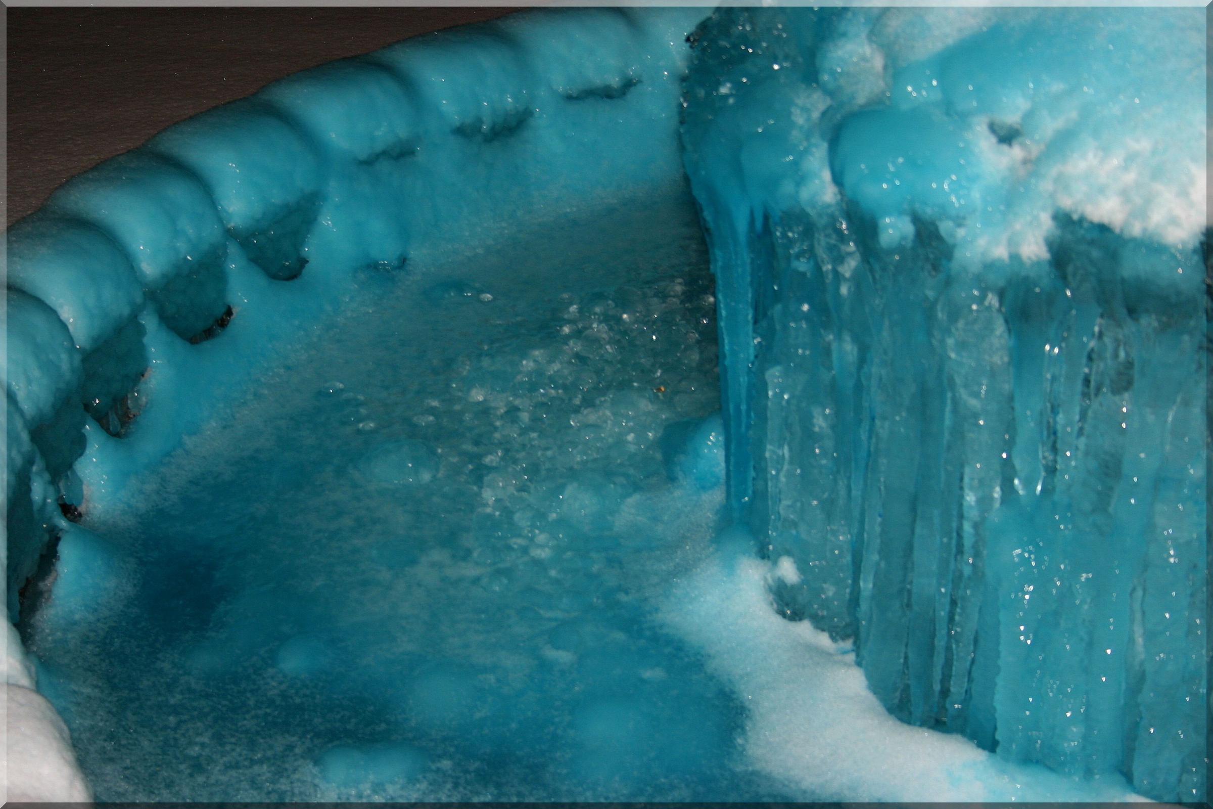
41/365 = Blue Water Freezes into Blue Ice in Fountain for Feb 10 2010
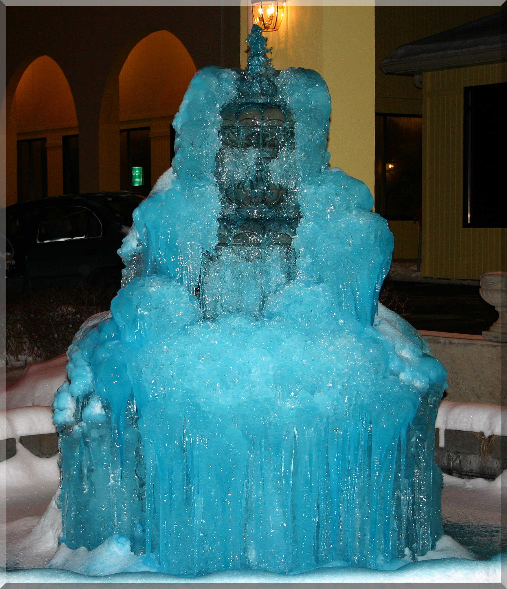
Ice Candle - Full View of Pic 41 for Feb 10 2010
Shot for Scale
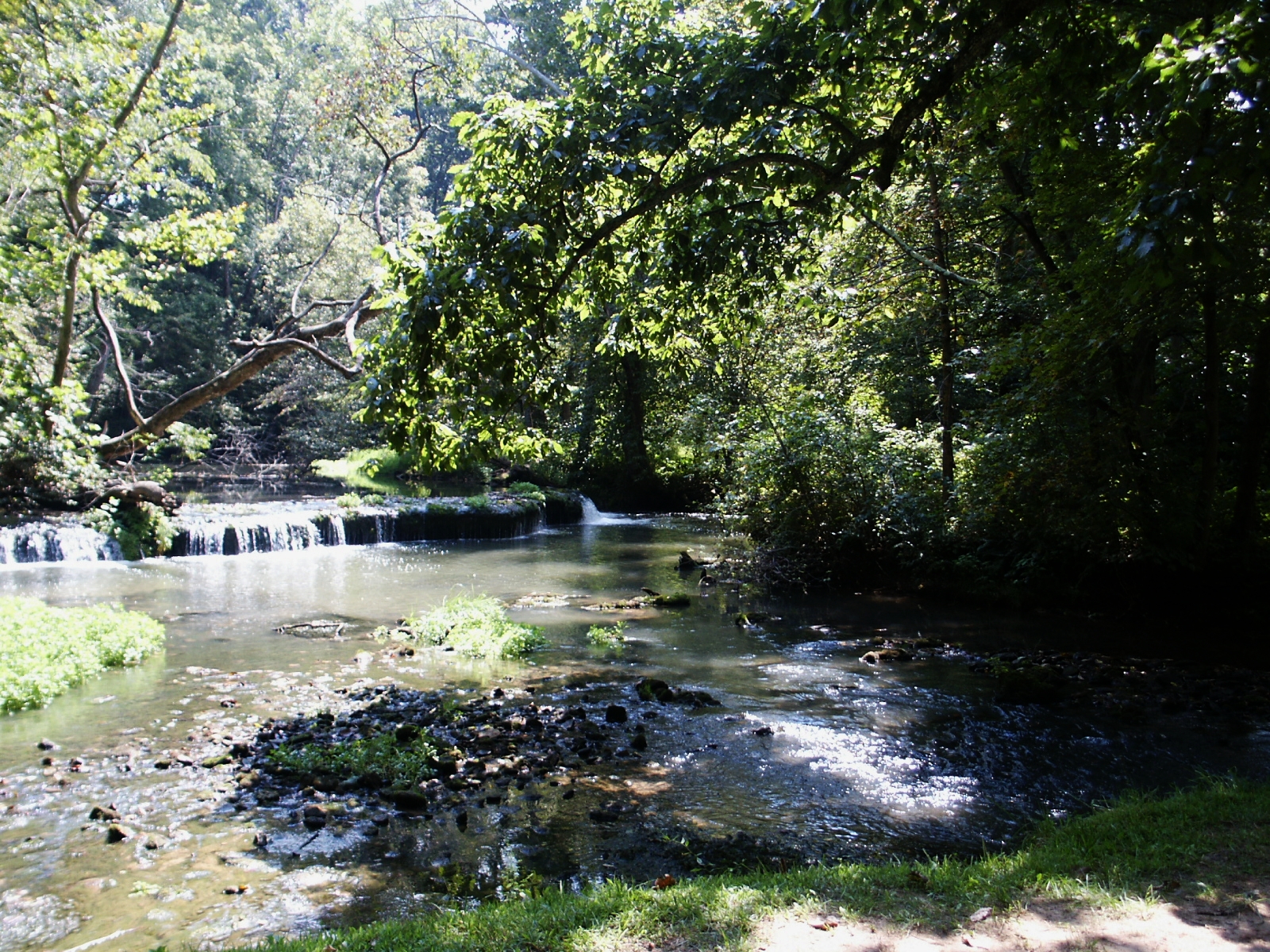
Stream & Small Falls at Doe Run Inn Property in Brandenburg Station, Kentucky
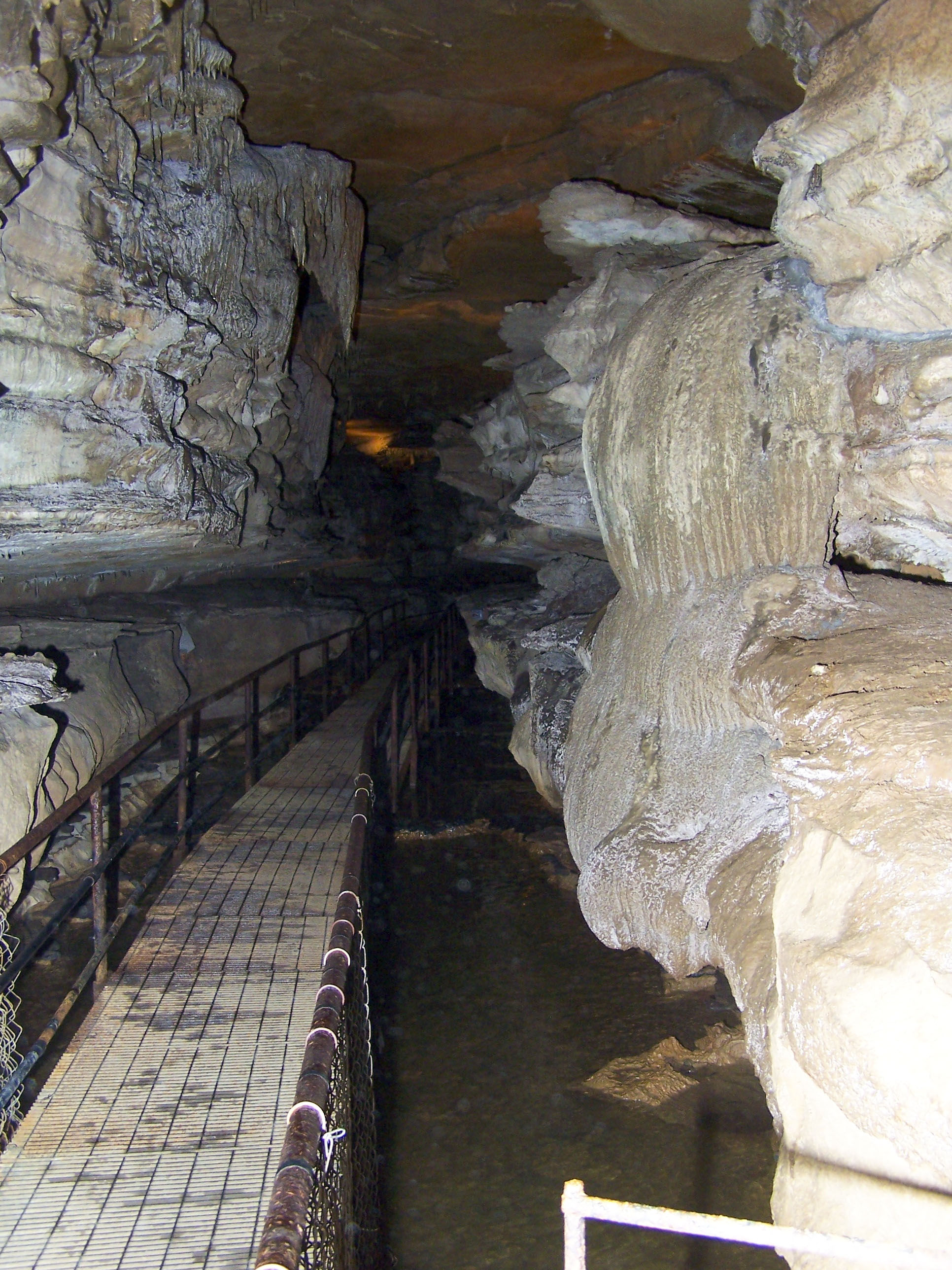
Walk way

Otter Creek Park, scenic river view
Small Falls at Doe Run - Side View
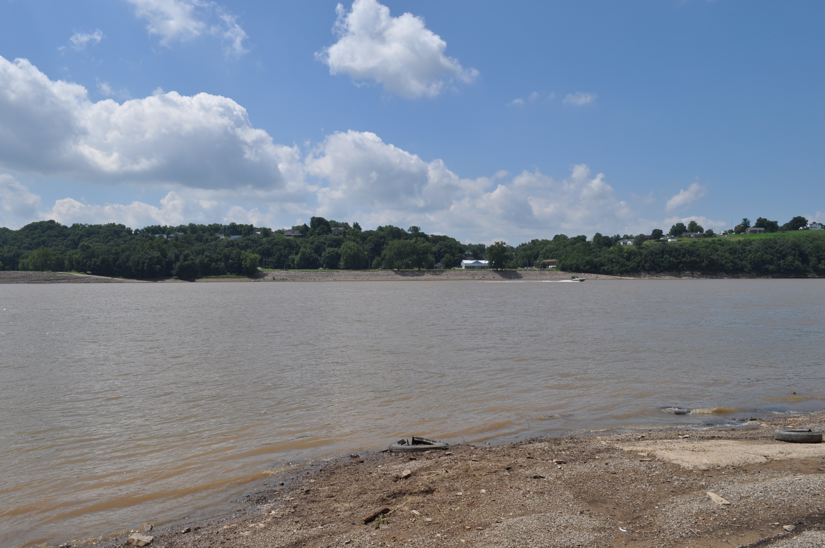
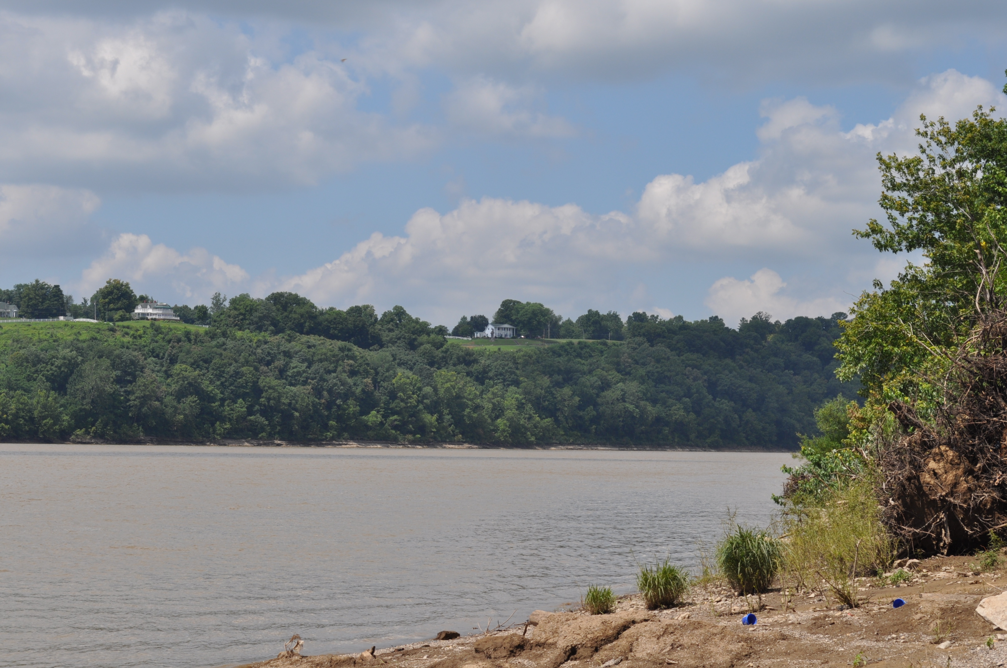
Brandenburg's Riverfront Park from Morvin's Landing
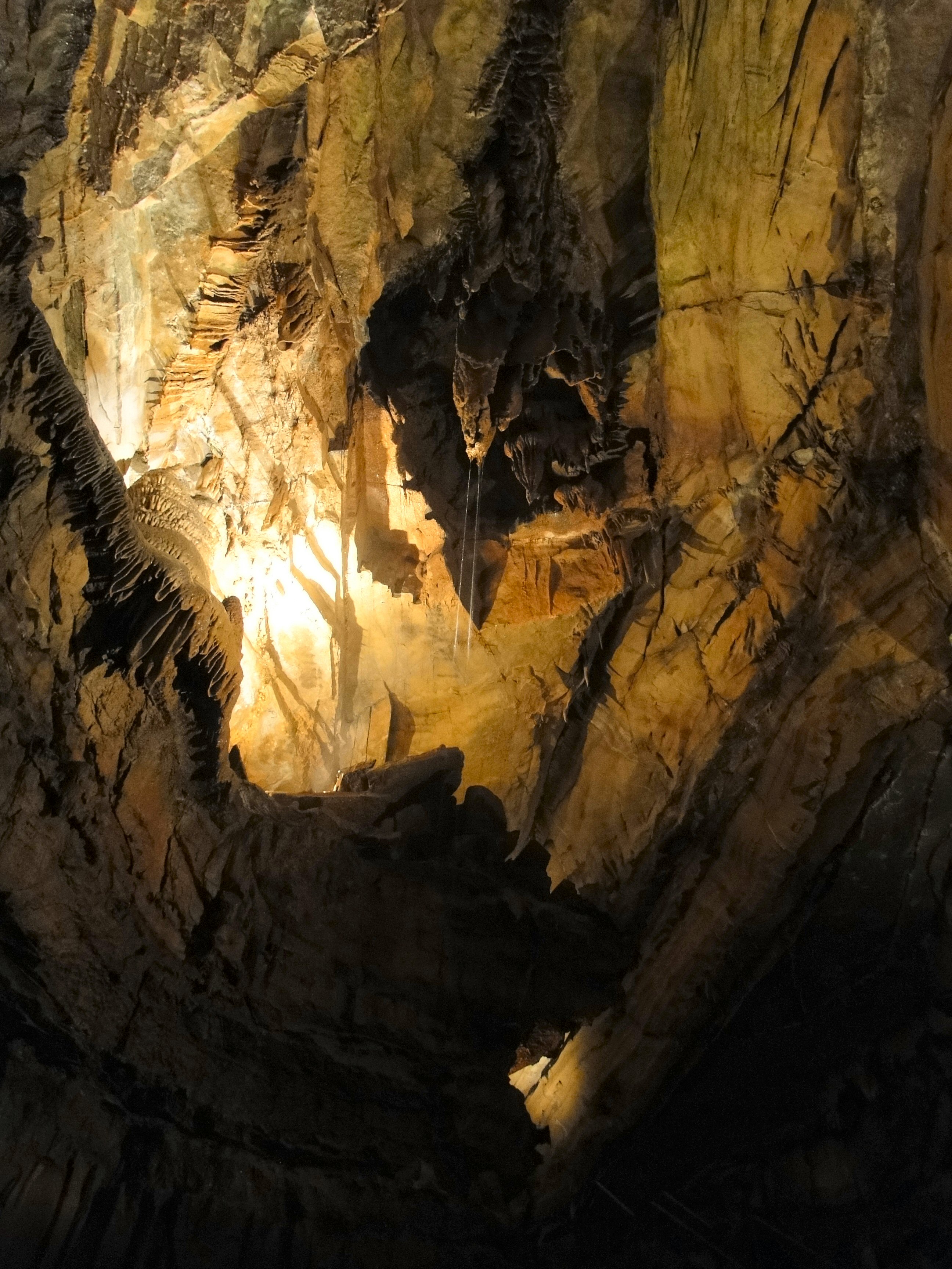
Into the Cave.........
2009-08-05T17-16-16 -- IMG_0359

Kintner Bottoms

69/365

50/365
67/365

Winter Sunset KY 2

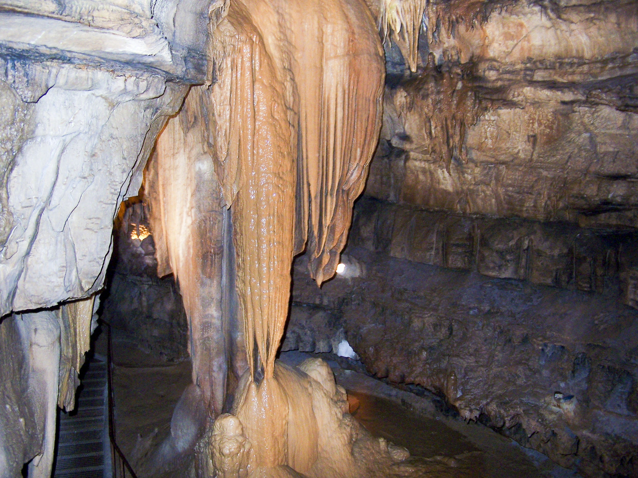
Squire Boone Caverns

Sunset 12/8 Ky

Squire Boone Caverns

29/365

Squire Boone Caverns

Squire Boone Caverns
muldraugh 9 hole

27/365

Winter Sunset

7/365

Squire Boone Caverns
muldraugh 6 hole
Topographic Map of Brandenburg Rd, Brandenburg, KY, USA
Find elevation by address:

Places near Brandenburg Rd, Brandenburg, KY, USA:
695 Wise Rd
990 Doe Run Ekron Rd
Ekron
100 Walnut Grove Rd
Meade County
Rock Ridge Rd, Brandenburg, KY, USA
Rock Haven
385 Rolling Acres Dr
Woodland
Pinwheel Road
Flaherty Rd, Vine Grove, KY, USA
504 Cross Ln
KY-, Irvington, KY, USA
Irvington
809 Park Ave
Park Avenue
65 Nathan Ct
Fort Knox
314 Greenbriar Dr
314 Greenbriar Dr
Recent Searches:
- Elevation of Corso Fratelli Cairoli, 35, Macerata MC, Italy
- Elevation of Tallevast Rd, Sarasota, FL, USA
- Elevation of 4th St E, Sonoma, CA, USA
- Elevation of Black Hollow Rd, Pennsdale, PA, USA
- Elevation of Oakland Ave, Williamsport, PA, USA
- Elevation of Pedrógão Grande, Portugal
- Elevation of Klee Dr, Martinsburg, WV, USA
- Elevation of Via Roma, Pieranica CR, Italy
- Elevation of Tavkvetili Mountain, Georgia
- Elevation of Hartfords Bluff Cir, Mt Pleasant, SC, USA