Elevation of Wirral Station Rd, Petersville, NB E5L, Canada
Location: Canada > New Brunswick > Queens County > Petersville >
Longitude: -66.470722
Latitude: 45.513552
Elevation: 43m / 141feet
Barometric Pressure: 101KPa
Elevation Map:
Satellite Map:
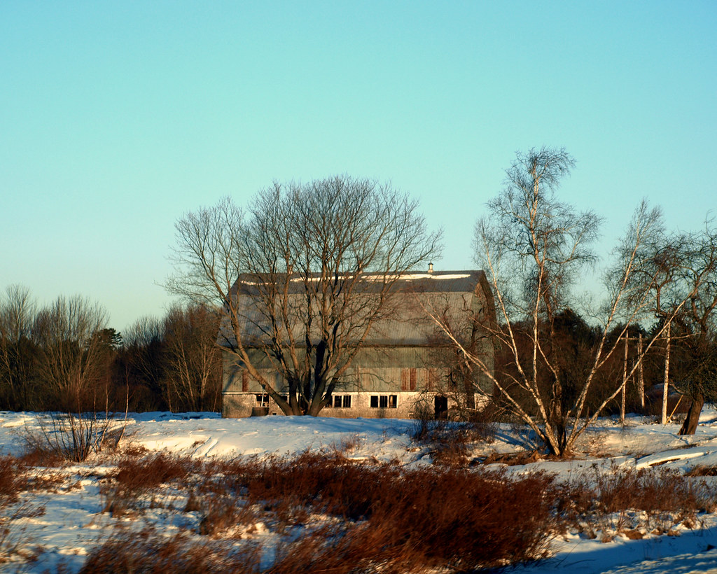
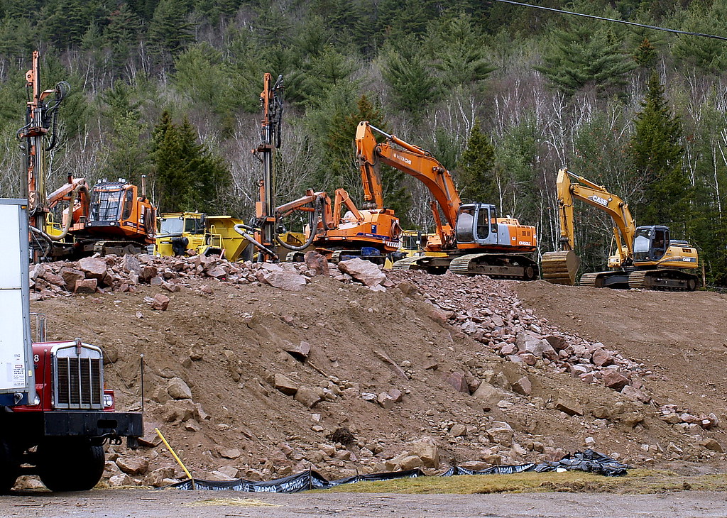
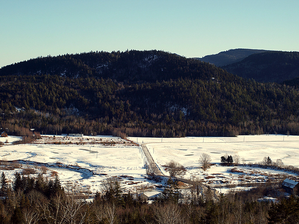
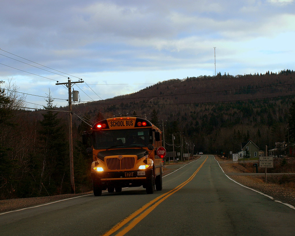
Related Photos:
0007699

0007822
0002440
0007665
0004588
0000265
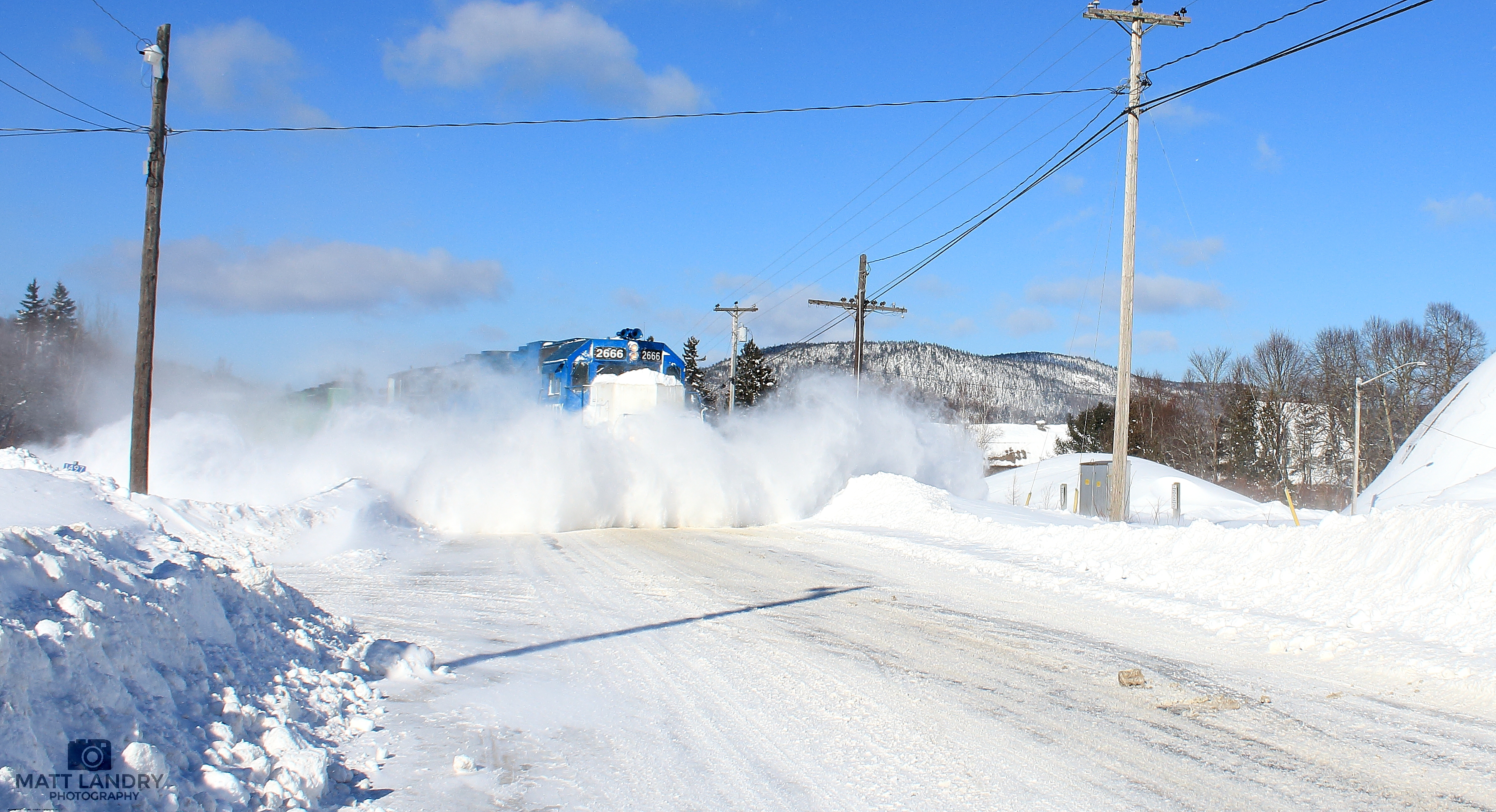
GMTX 2666 Snow Busting At Welsford, New Brunswick
Clifford and the cliffs.

South Branch Oromocto Falls NB

Crooked tree on the mountain trail.
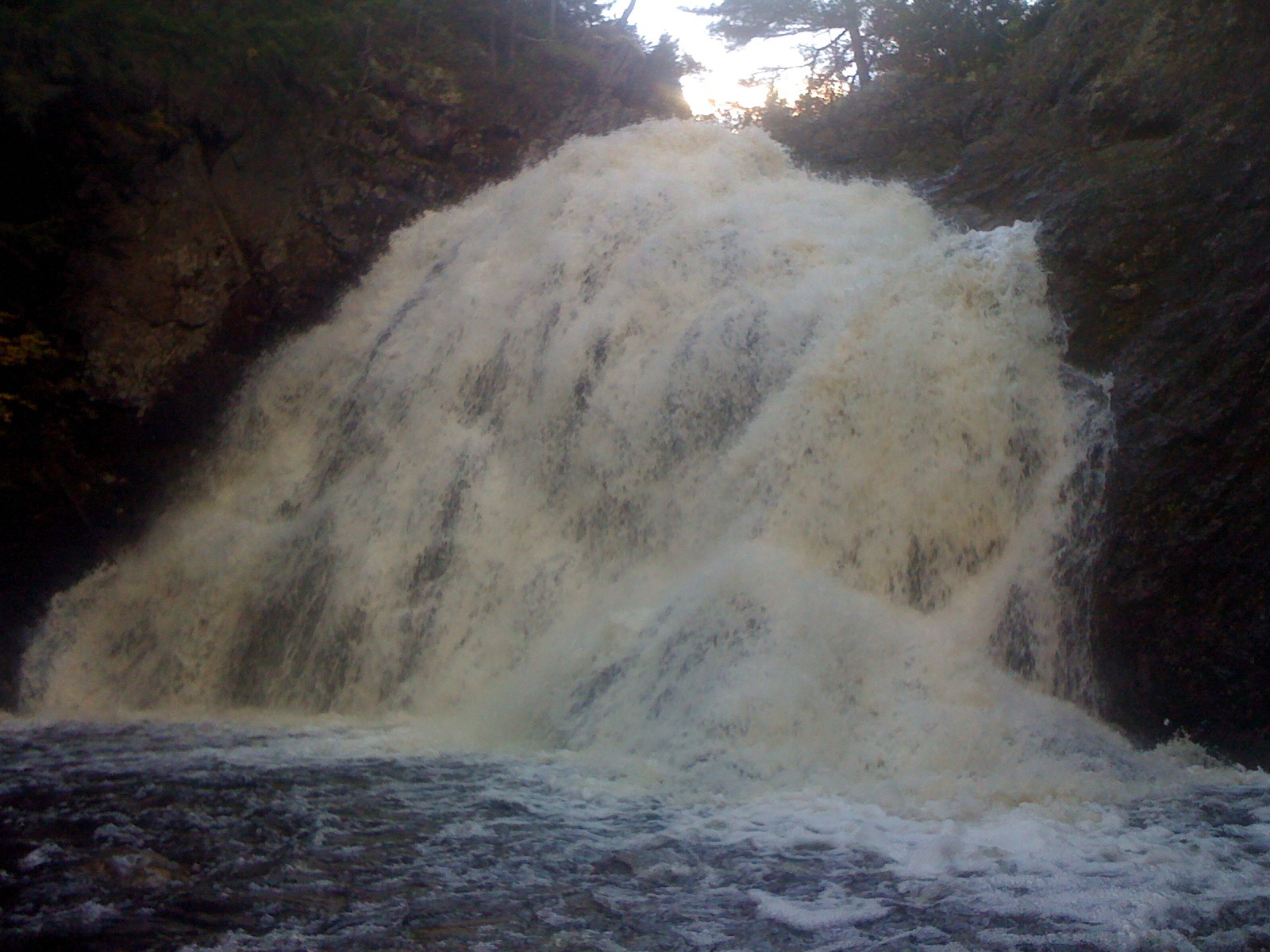
Welsford Falls
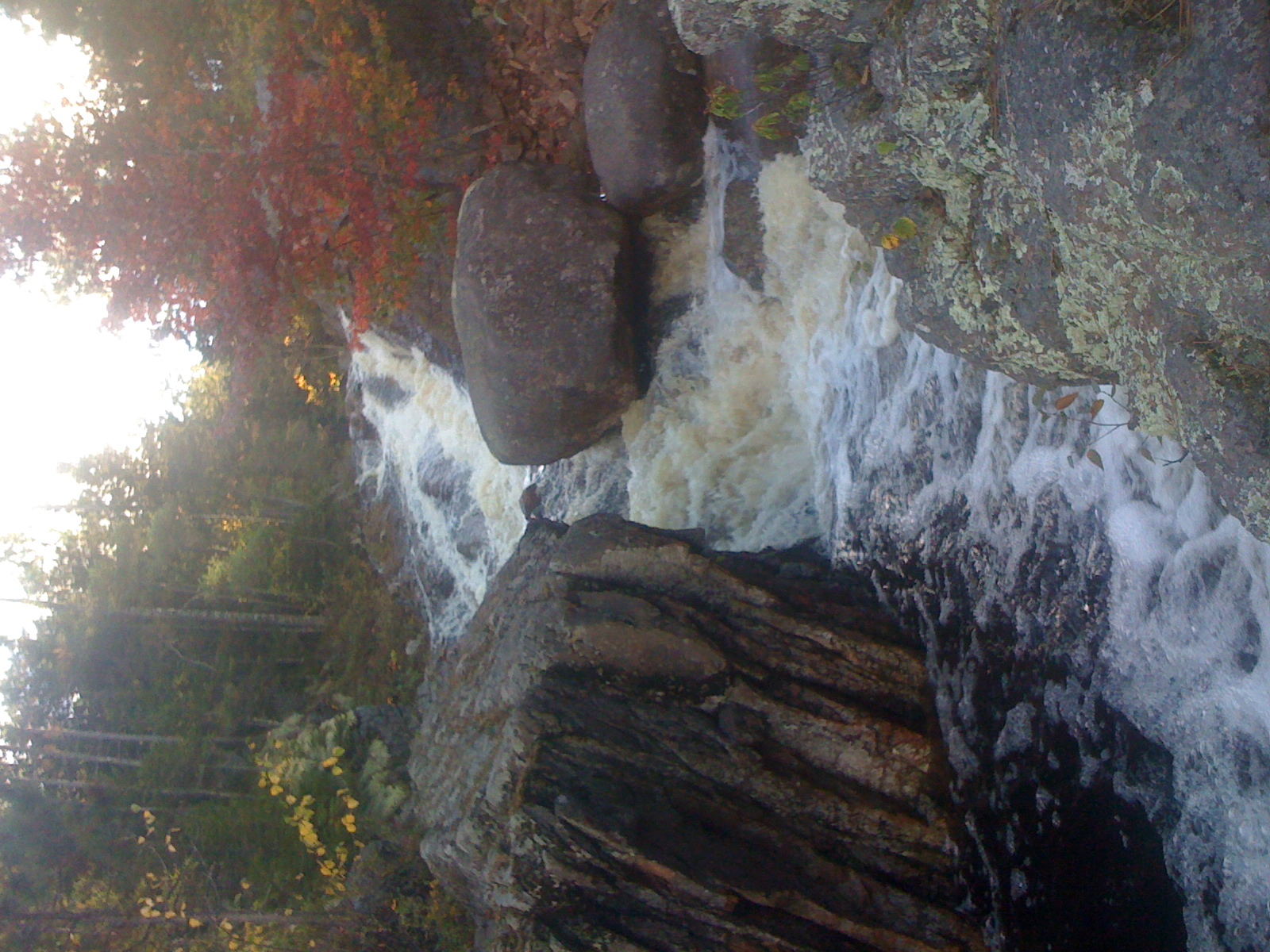
Upper tier Welsford Falls

Hidden By Overcast
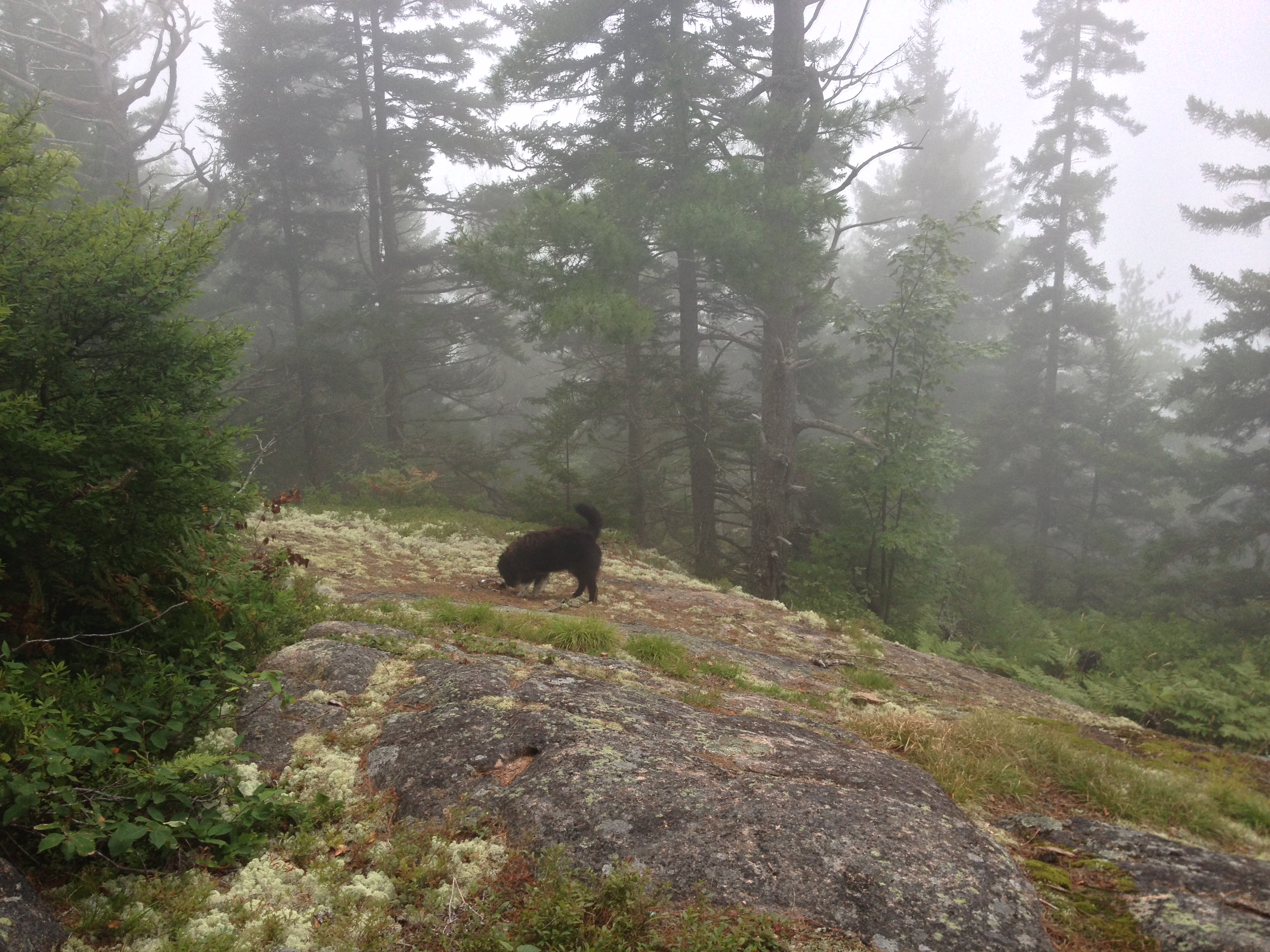
Clifford nosing around.
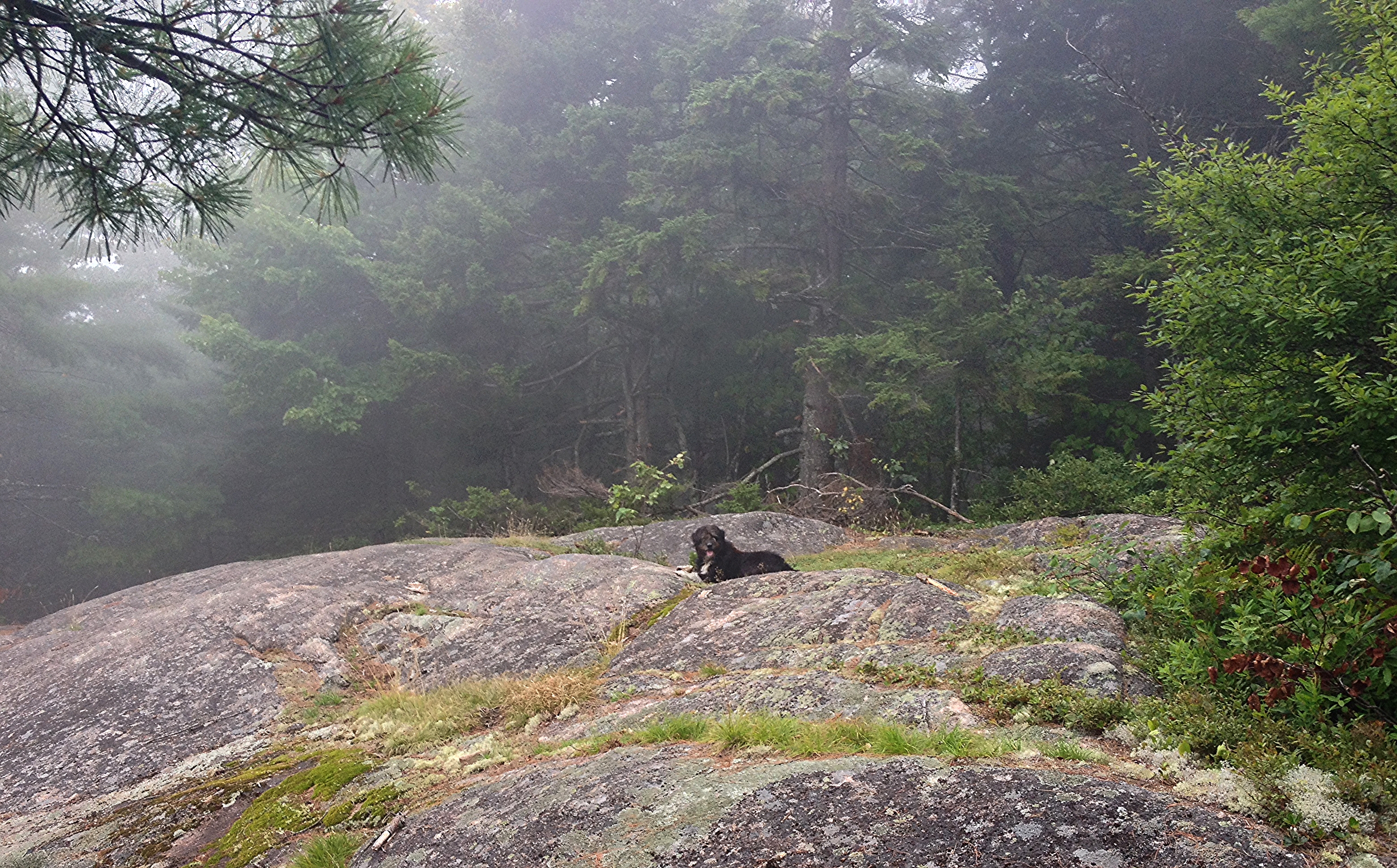
King of the mountain.
Topographic Map of Wirral Station Rd, Petersville, NB E5L, Canada
Find elevation by address:

Places near Wirral Station Rd, Petersville, NB E5L, Canada:
Blissville
Hoyt
Boyne Road
Petersville
Eagle Rock Rd, Westfield, NB E5K, Canada
Fredericton Junction
Nerepis
26 Point Rd, Nerepis, NB E5K 4S6, Canada
Westfield
79 Branch Rd, Geary, NB E2V 3Z8, Canada
46 Segee Rd
Tracy
Nerepis Rd, Grand Bay-Westfield, NB E5K 2Z9, Canada
Grand Bay-westfield
9 Spring Ave
9 Spring Ave
Brittain Rd, Lower Greenwich, NB E5K 4K2, Canada
214a
Gagetown
8 Cheyne Settlement Rd, Public Landing, NB E5K 4M2, Canada
Recent Searches:
- Elevation of 24 Oakland Rd #, Scotland, ON N0E 1R0, Canada
- Elevation of Deep Gap Farm Rd E, Mill Spring, NC, USA
- Elevation of Dog Leg Dr, Minden, NV, USA
- Elevation of Dog Leg Dr, Minden, NV, USA
- Elevation of Kambingan Sa Pansol Atbp., Purok 7 Pansol, Candaba, Pampanga, Philippines
- Elevation of Pinewood Dr, New Bern, NC, USA
- Elevation of Mountain View, CA, USA
- Elevation of Foligno, Province of Perugia, Italy
- Elevation of Blauwestad, Netherlands
- Elevation of Bella Terra Blvd, Estero, FL, USA