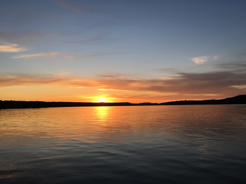
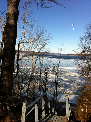
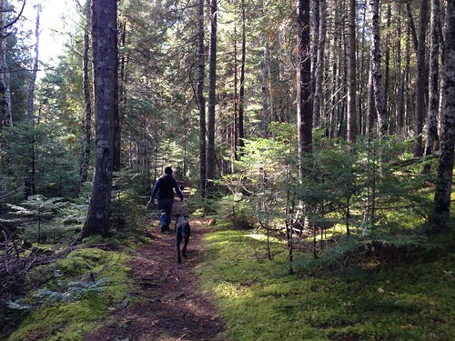
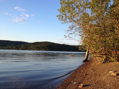
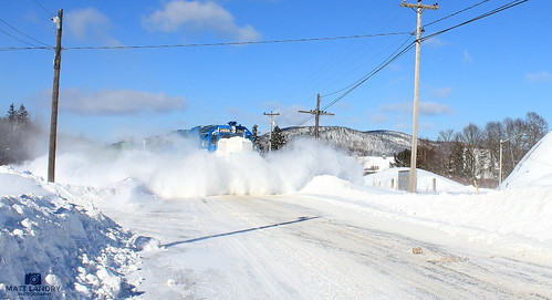
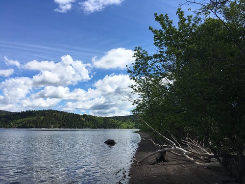
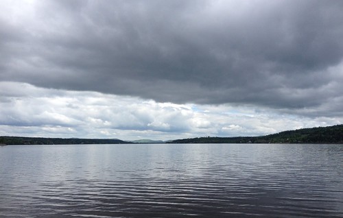
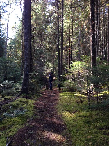
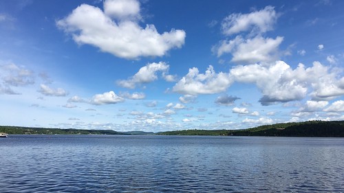
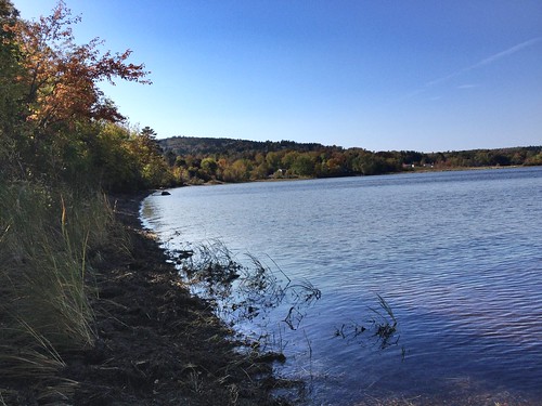
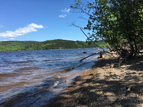
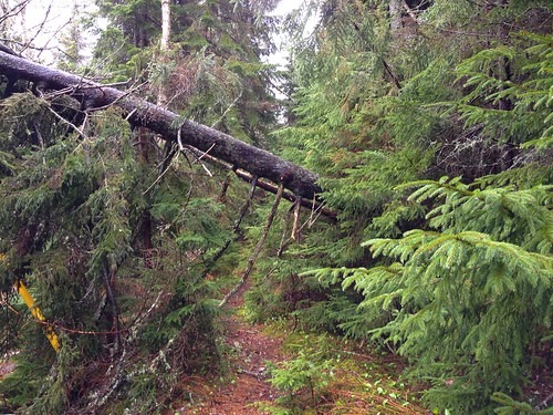
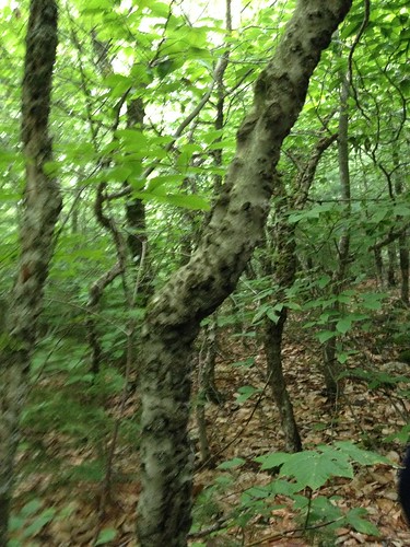
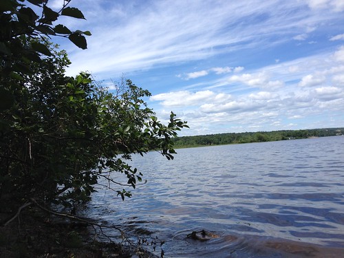
Elevation of Eagle Rock Rd, Westfield, NB E5K, Canada
Location: Canada > New Brunswick > Kings County > Westfield >
Longitude: -66.315461
Latitude: 45.4124022
Elevation: 33m / 108feet
Barometric Pressure: 101KPa
Related Photos:
Topographic Map of Eagle Rock Rd, Westfield, NB E5K, Canada
Find elevation by address:

Places near Eagle Rock Rd, Westfield, NB E5K, Canada:
Nerepis
26 Point Rd, Nerepis, NB E5K 4S6, Canada
Nerepis Rd, Grand Bay-Westfield, NB E5K 2Z9, Canada
Grand Bay-westfield
9 Spring Ave
9 Spring Ave
Petersville
NB-, Westfield, NB E5S, Canada
8 Cheyne Settlement Rd, Public Landing, NB E5K 4M2, Canada
Public Landing
Brittain Rd, Lower Greenwich, NB E5K 4K2, Canada
Carters Point
48 NB-, Carters Point, NB E5S 1S5, Canada
Lower Greenwich
90 Victoria Wharf Rd, Lower Greenwich, NB E5K 4J3, Canada
NB-, Long Reach, NB E5S 2K3, Canada
NB-, Browns Flat, NB E5M 2P1, Canada
Olinville Rd, Central Greenwich, NB E5M 2K5, Canada
Browns Flat
Greenwich
Recent Searches:
- Elevation of East W.T. Harris Boulevard, E W.T. Harris Blvd, Charlotte, NC, USA
- Elevation of West Sugar Creek, Charlotte, NC, USA
- Elevation of Wayland, NY, USA
- Elevation of Steadfast Ct, Daphne, AL, USA
- Elevation of Lagasgasan, X+CQH, Tiaong, Quezon, Philippines
- Elevation of Rojo Ct, Atascadero, CA, USA
- Elevation of Flagstaff Drive, Flagstaff Dr, North Carolina, USA
- Elevation of Avery Ln, Lakeland, FL, USA
- Elevation of Woolwine, VA, USA
- Elevation of Lumagwas Diversified Farmers Multi-Purpose Cooperative, Lumagwas, Adtuyon, RV32+MH7, Pangantucan, Bukidnon, Philippines

