Elevation of Nerepis, Grand Bay-Westfield, NB E5K, Canada
Location: Canada > New Brunswick > Kings County > Westfield >
Longitude: -66.289738
Latitude: 45.395361
Elevation: 8m / 26feet
Barometric Pressure: 0KPa
Related Photos:
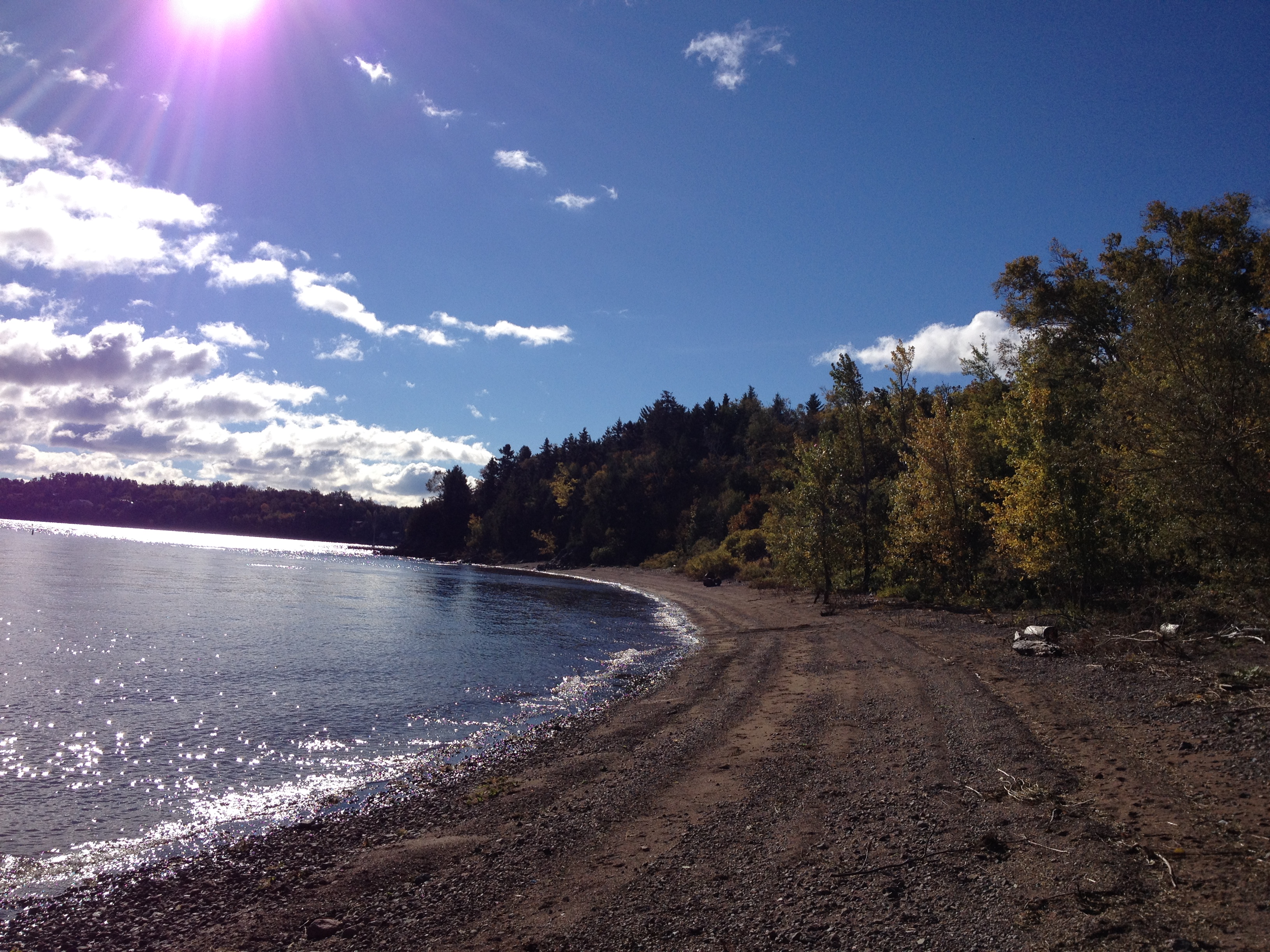
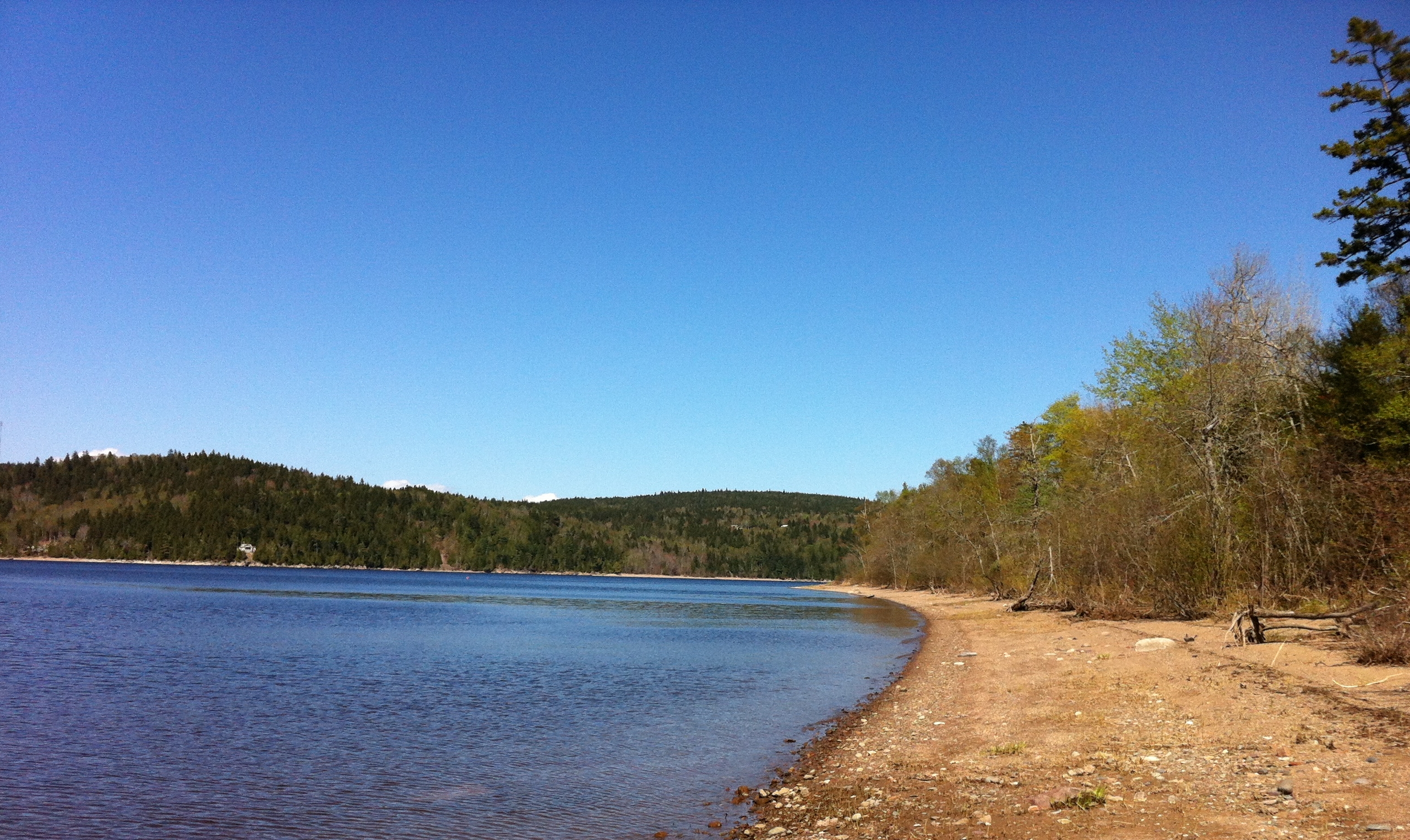
Lovely beach view.
Saint John River, NB 34
0007559 (Explore Dec 03 - 2013)
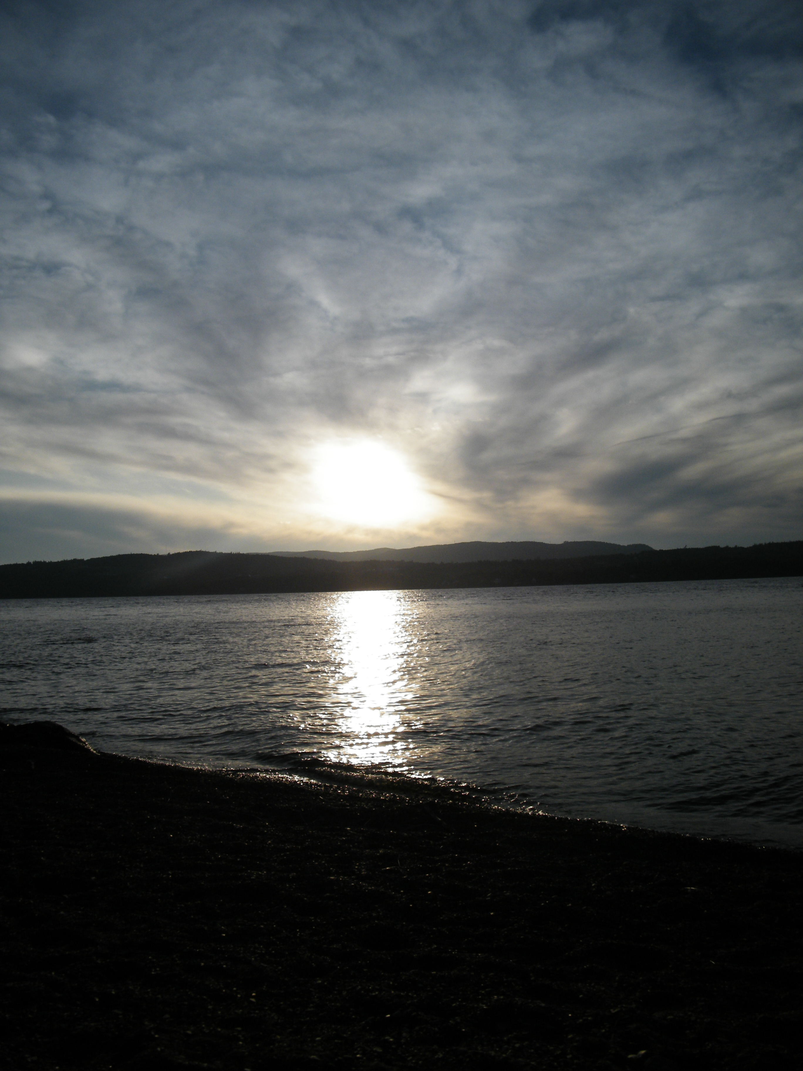
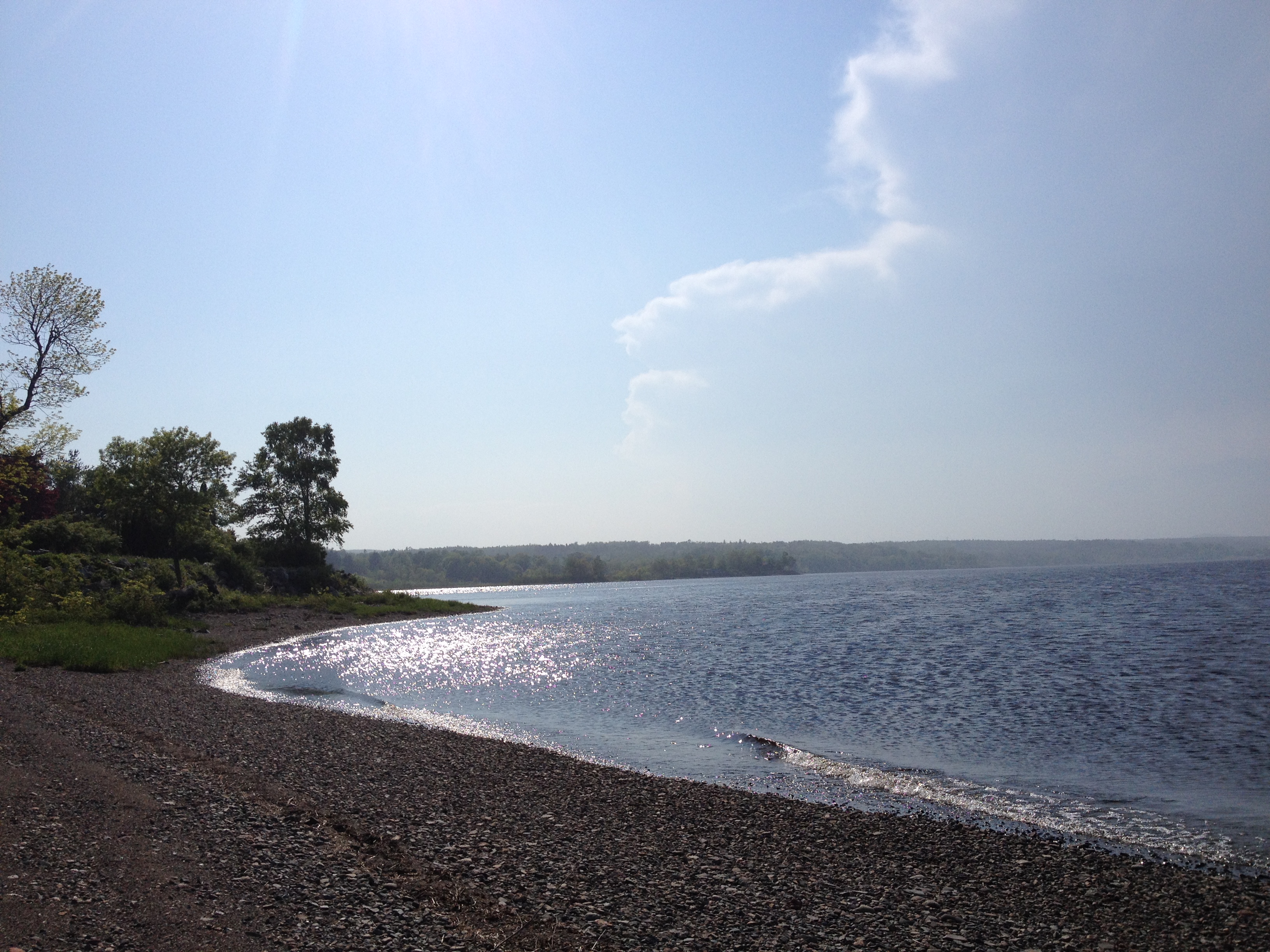
View of beach from the trail.
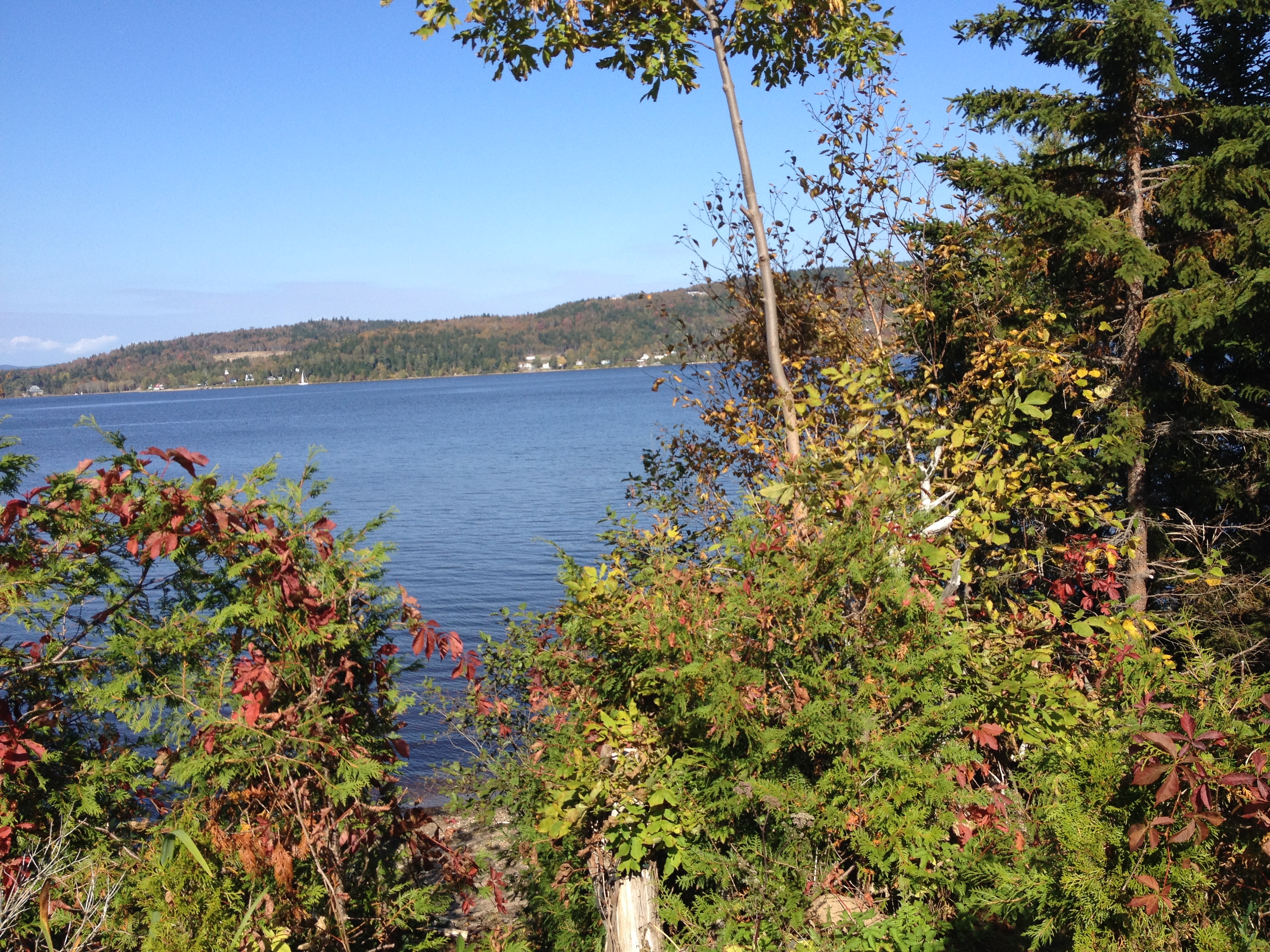
View of the Saint John River.
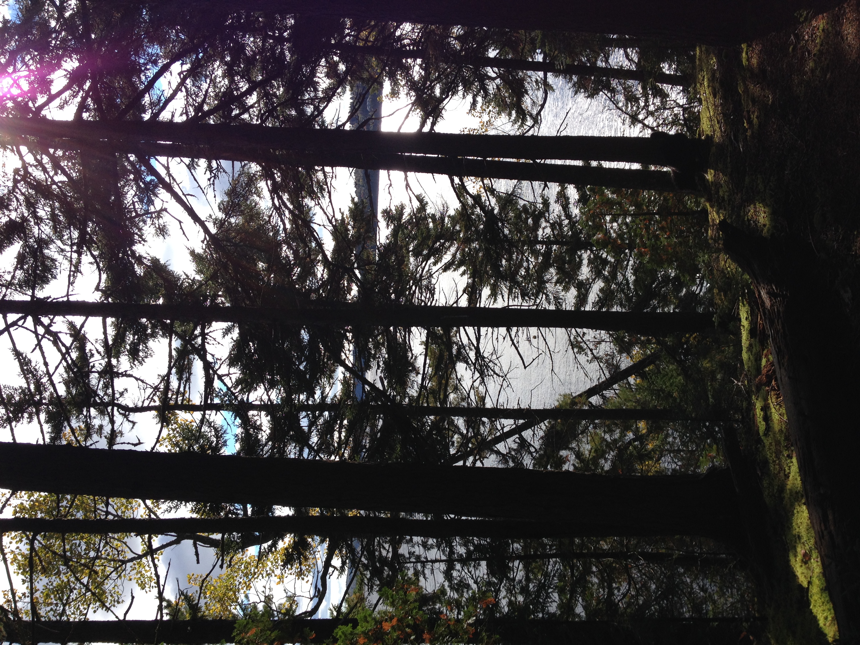
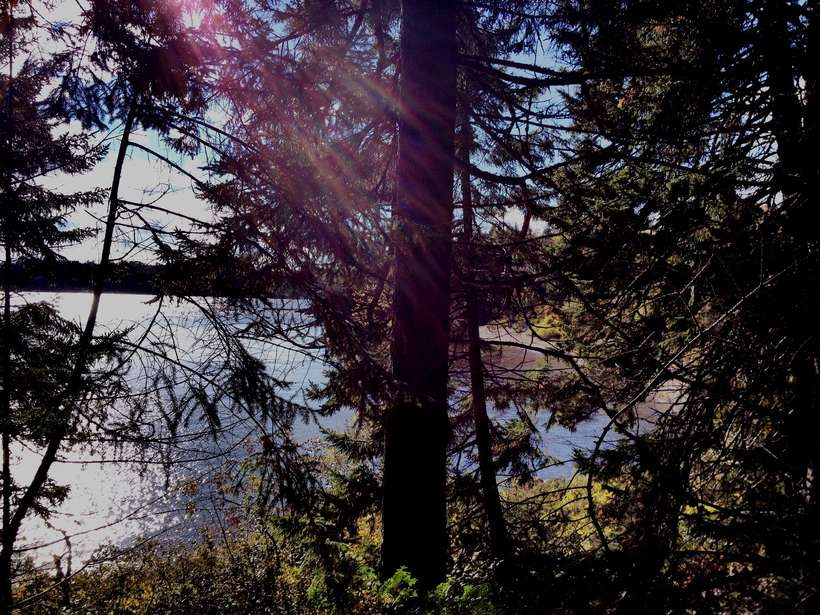
View of River through the trees.
One year of pictures 2015, June 11: View back into the cove where our cottage is located from Brandy Point.
Saint John River, NB 28

Big trees and moss covered forest floor.

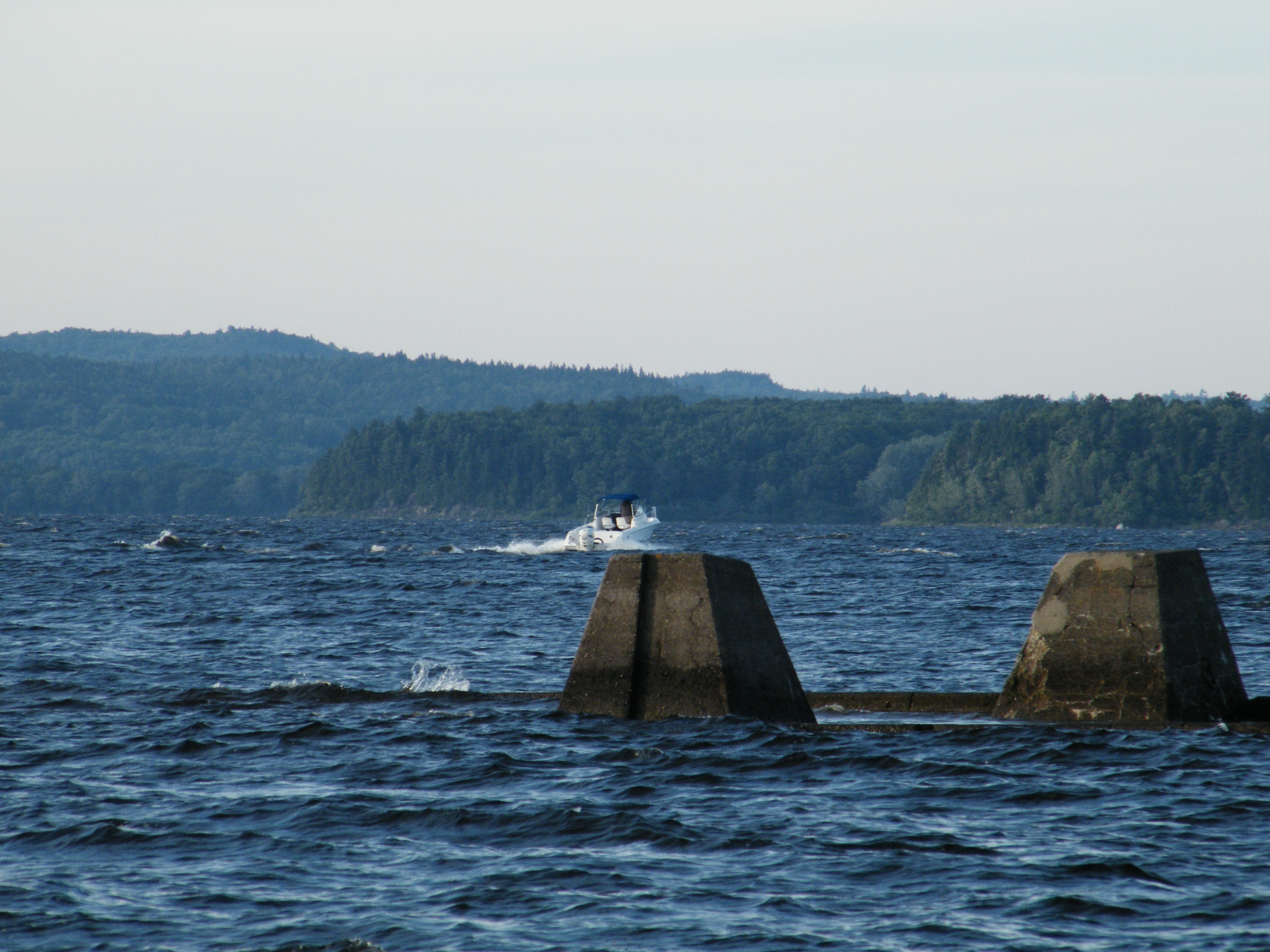
Saint John River.
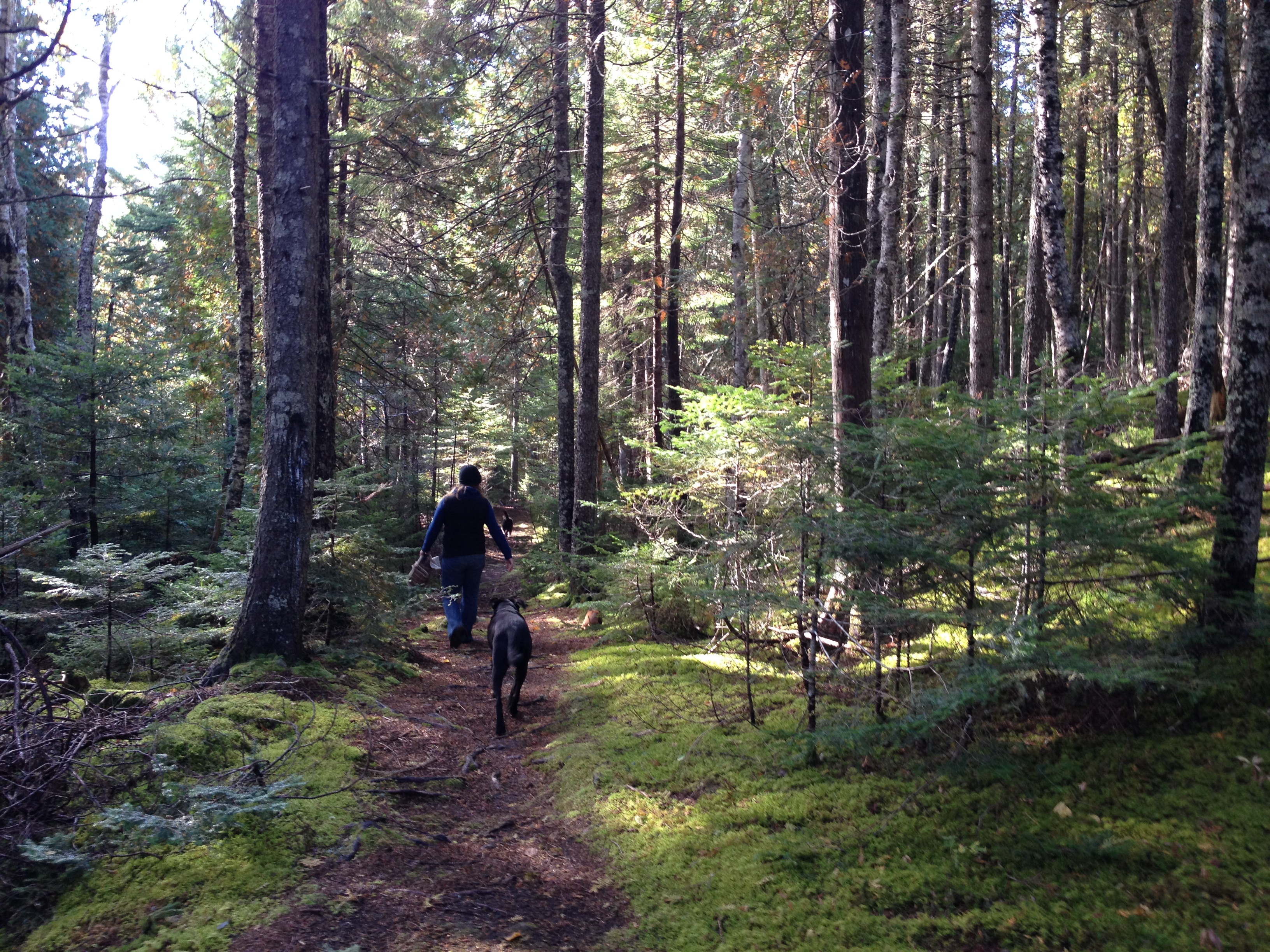
Lindsay & Sadie under the trees.
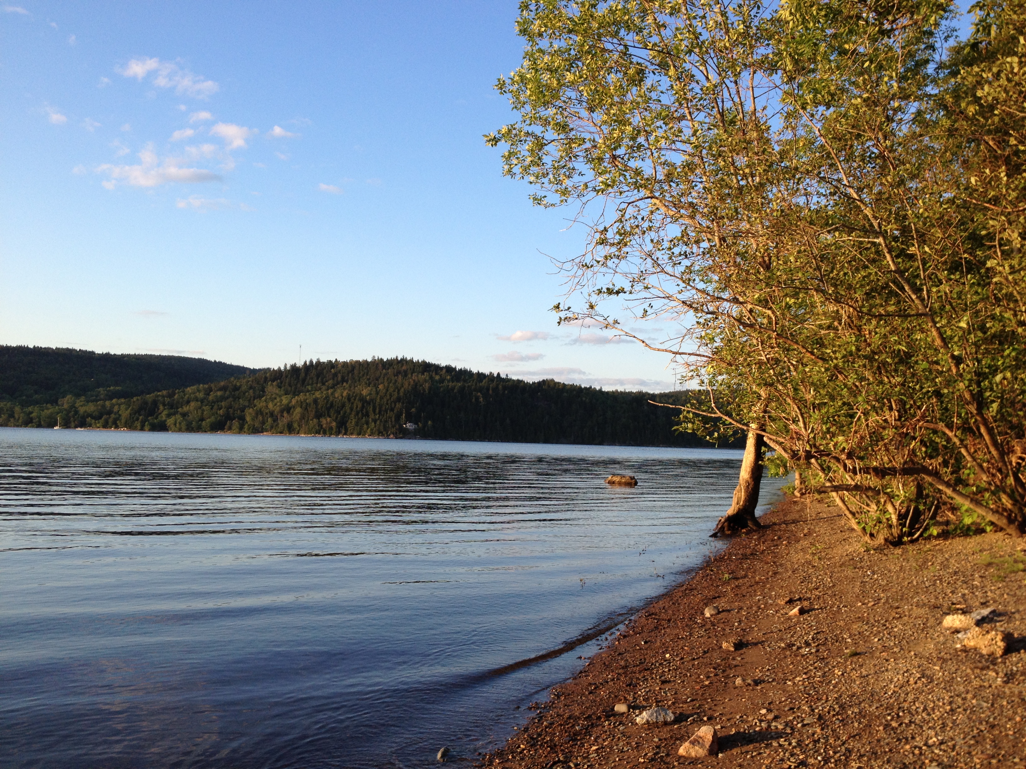
Beach at Ingleside.
Calm Water
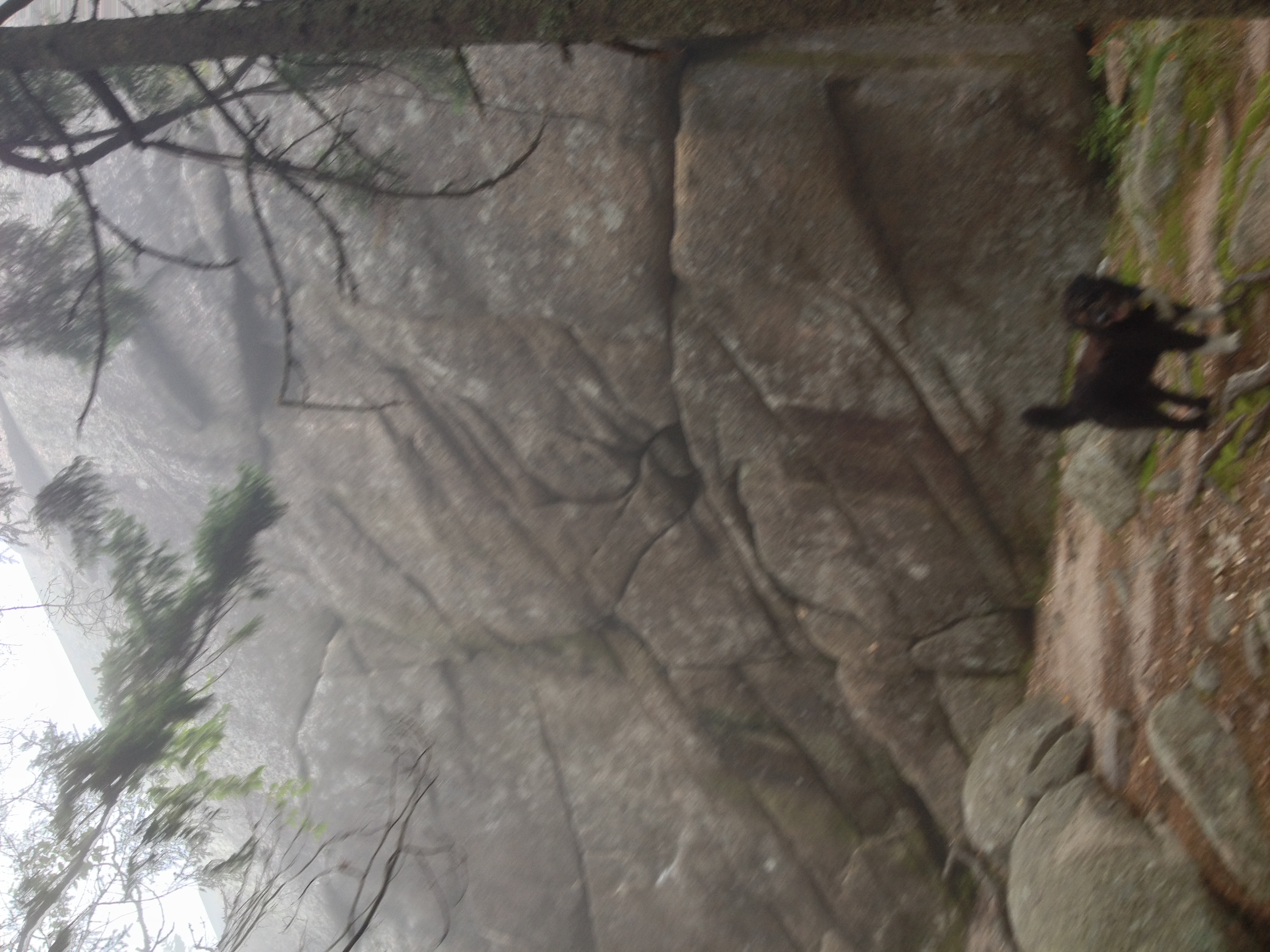
Clifford and the cliffs.
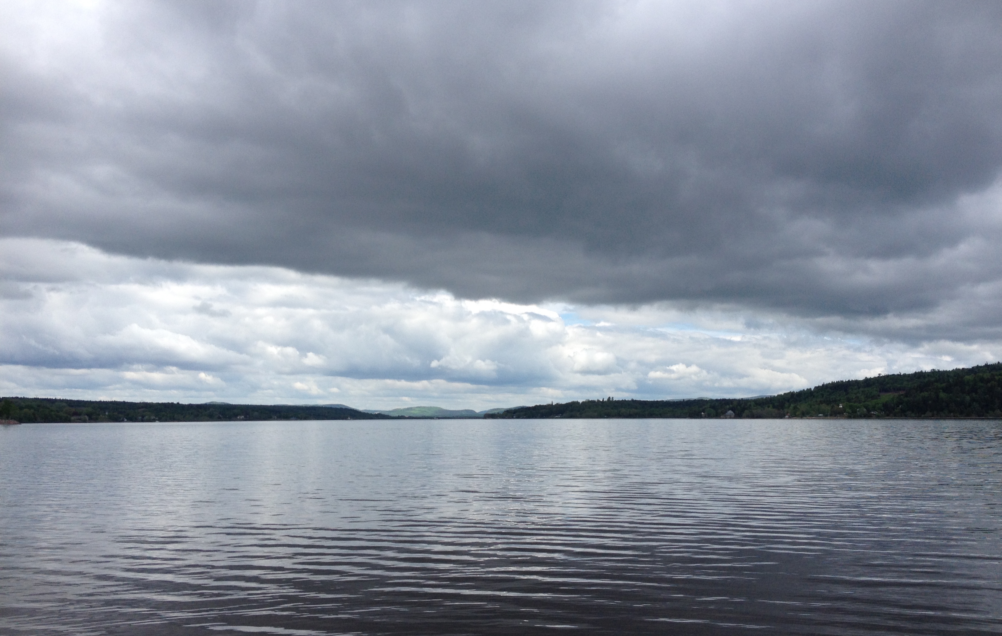
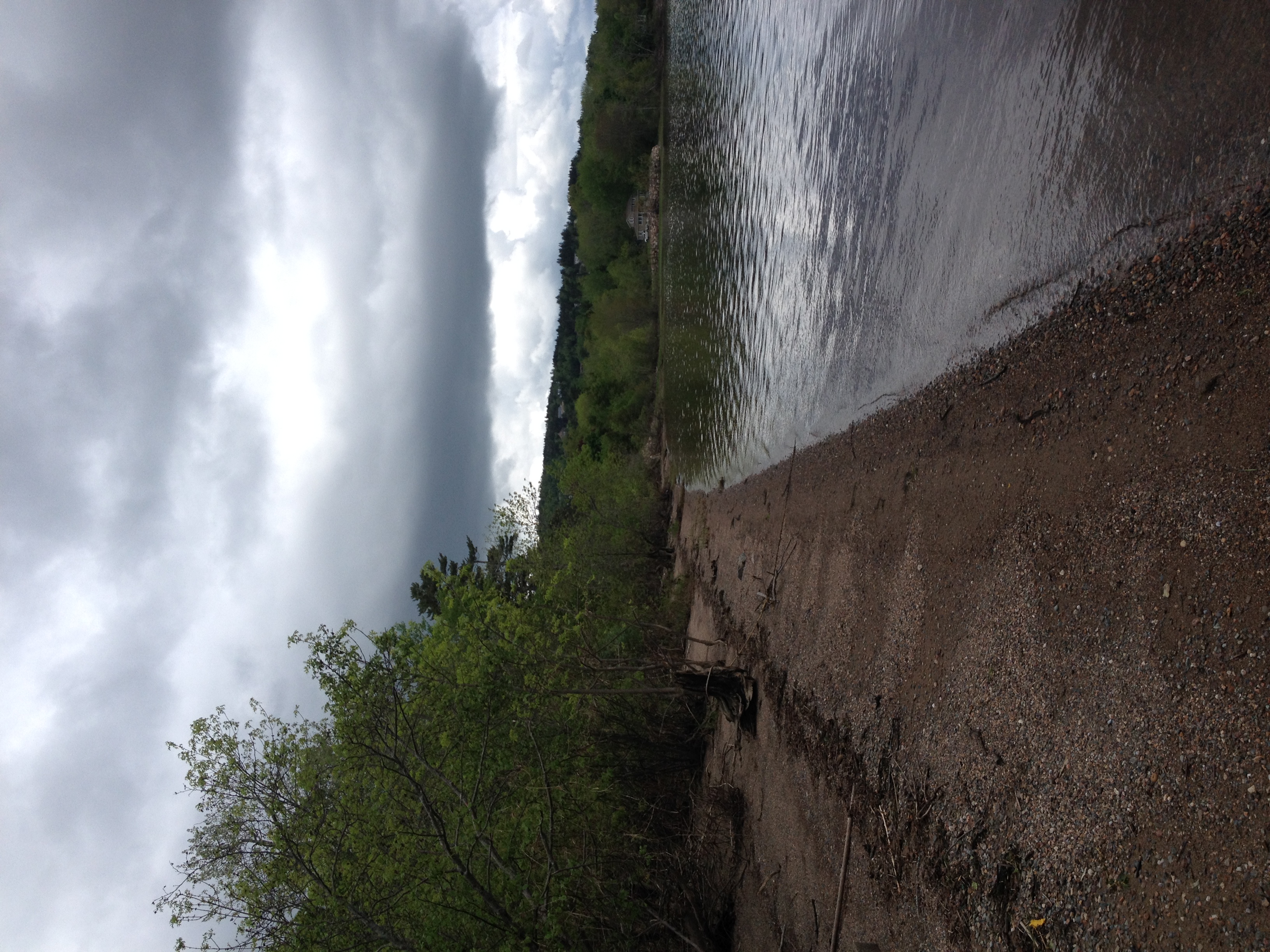
One year of pictures 2014, no. 157: It was a reasonable day at Ingleside on Saturday despite the black clouds.
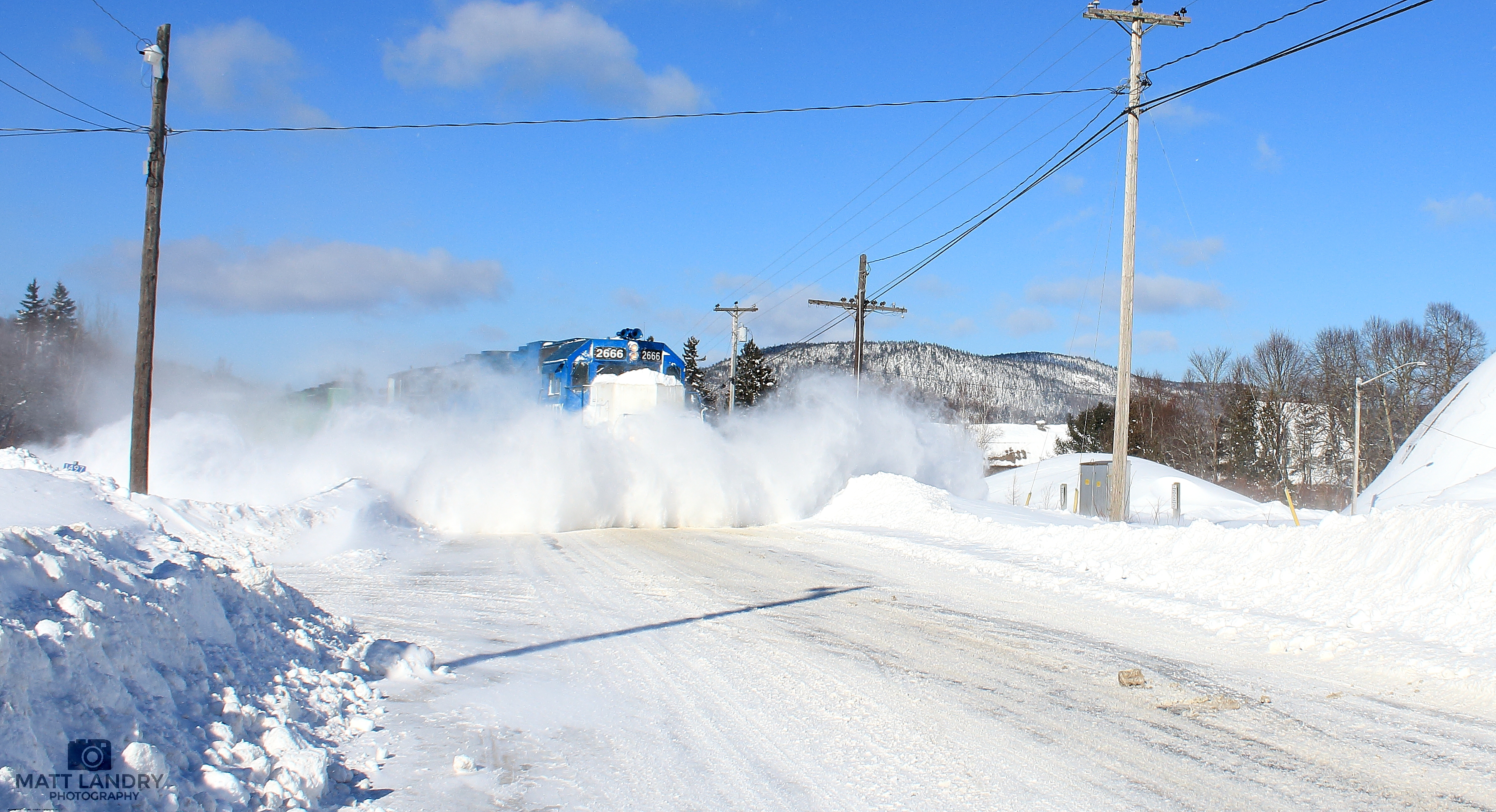
GMTX 2666 Snow Busting At Welsford, New Brunswick
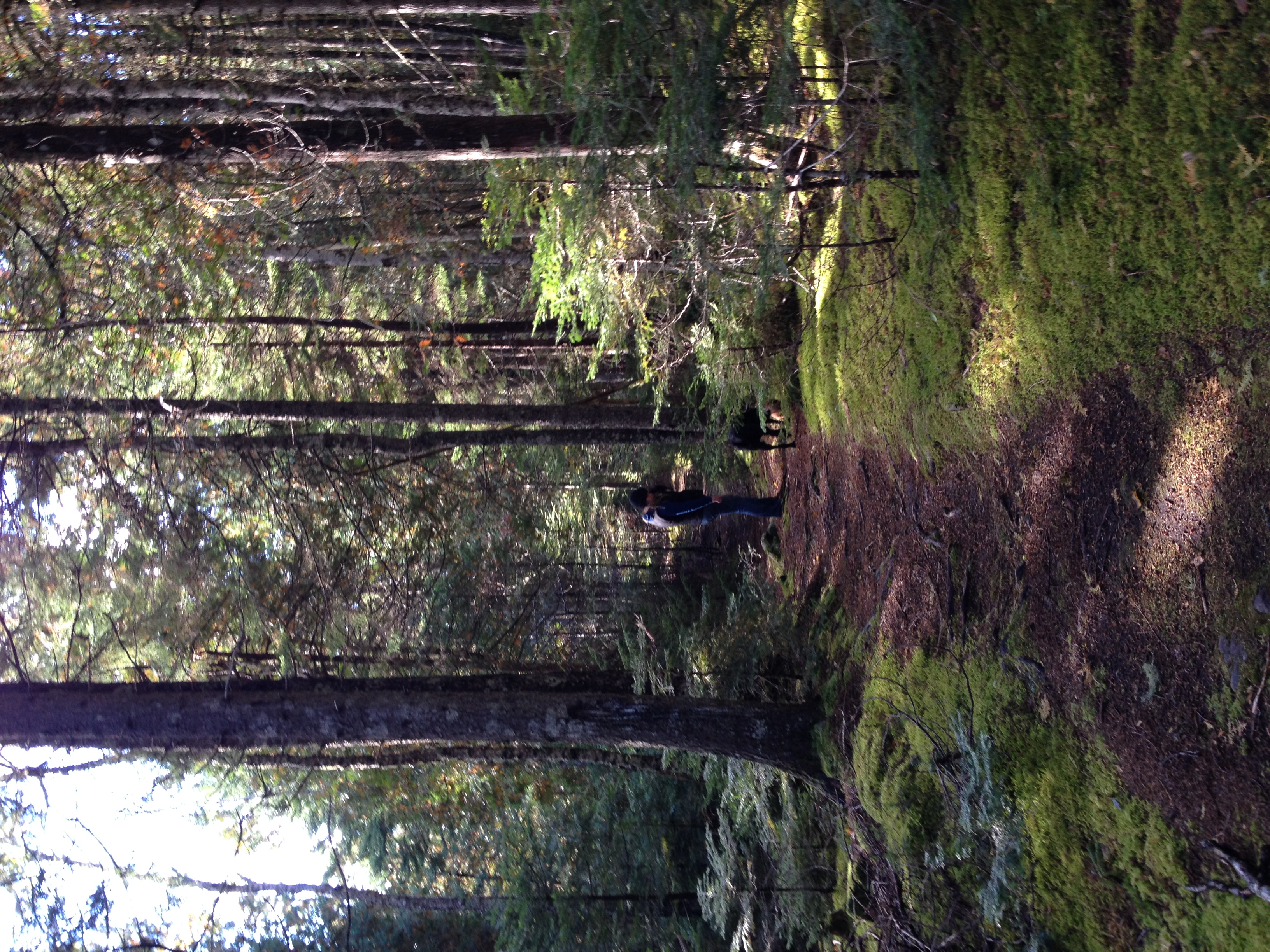
Lindsay and Sadie.
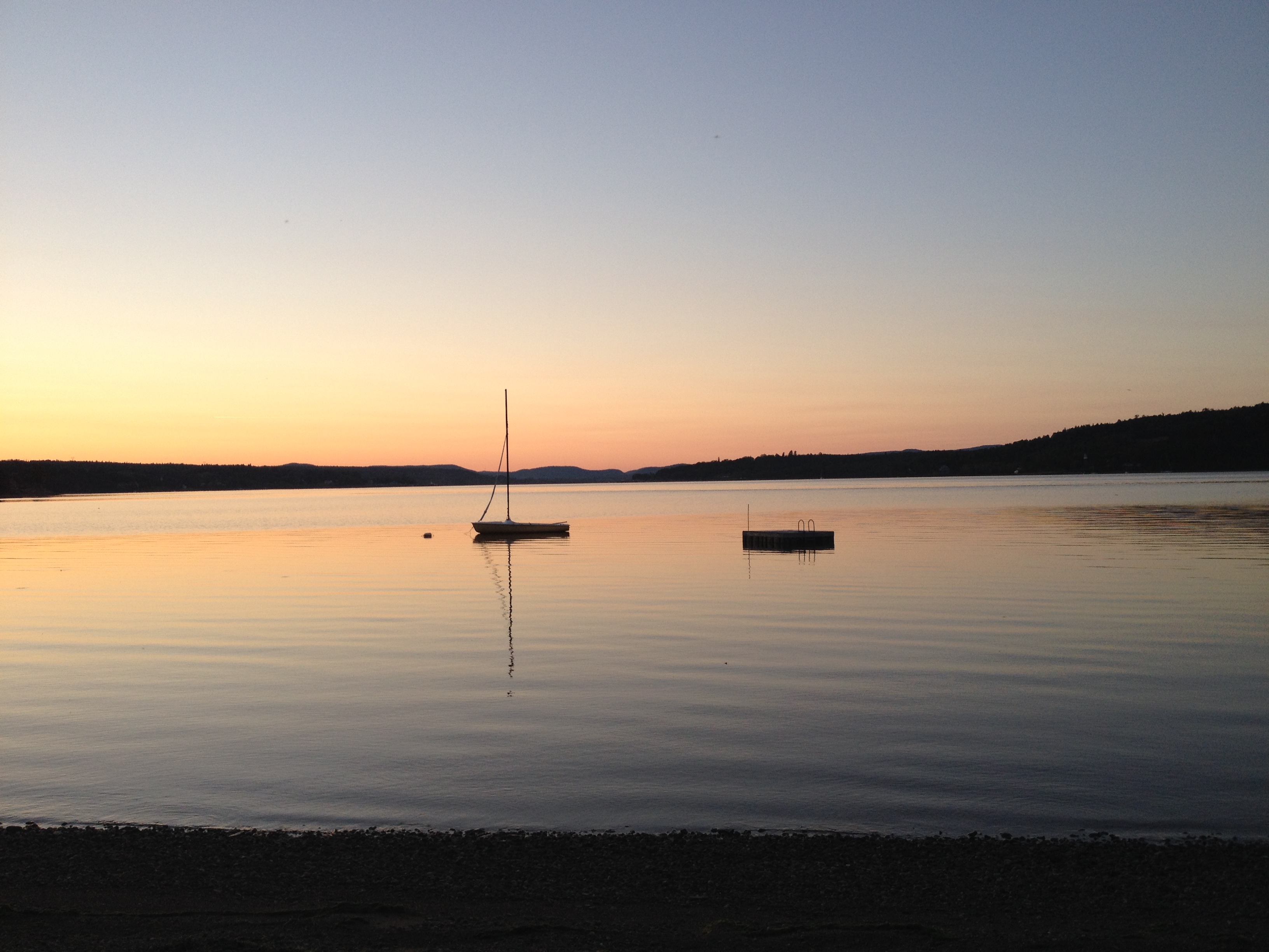
One year of pictures 2014, no. 241: John's boat on a calm evening at Ingleside.
The tide was high at Ingleside.

Crooked tree on the mountain trail.
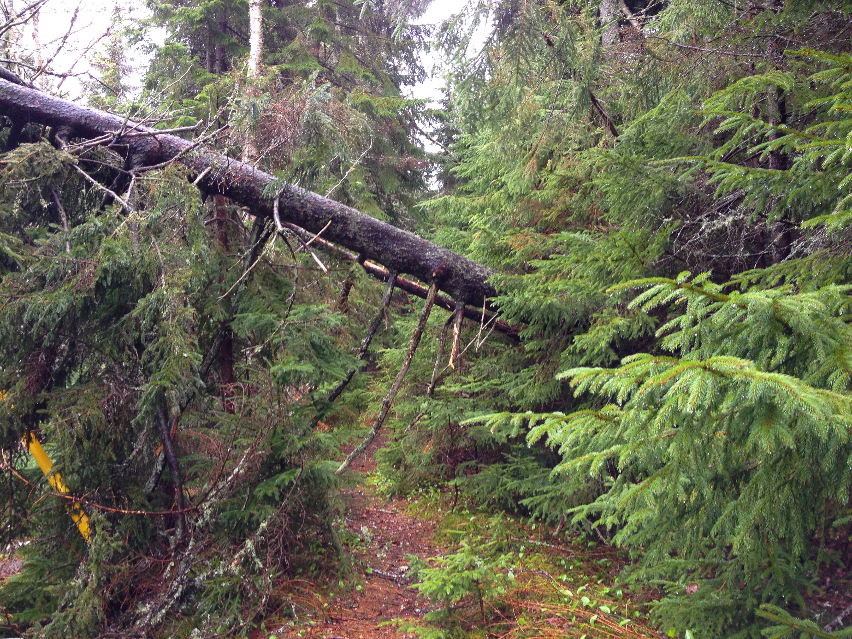
A tree had fallen across the path near Graeme's cottage where I walk Clifford.

The river is very high again since the storm last week.
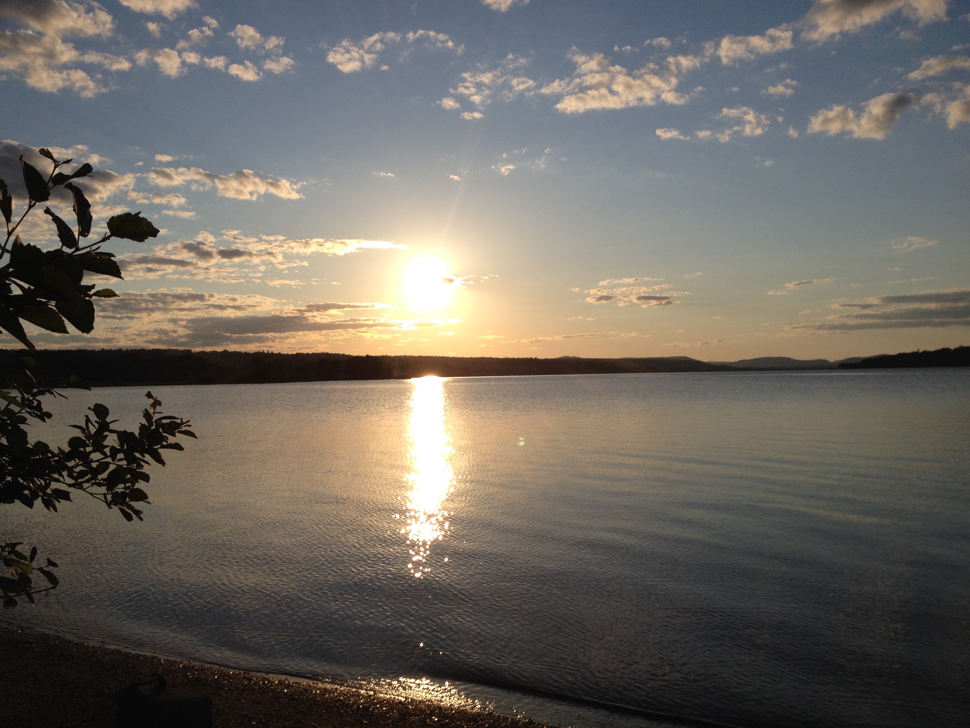
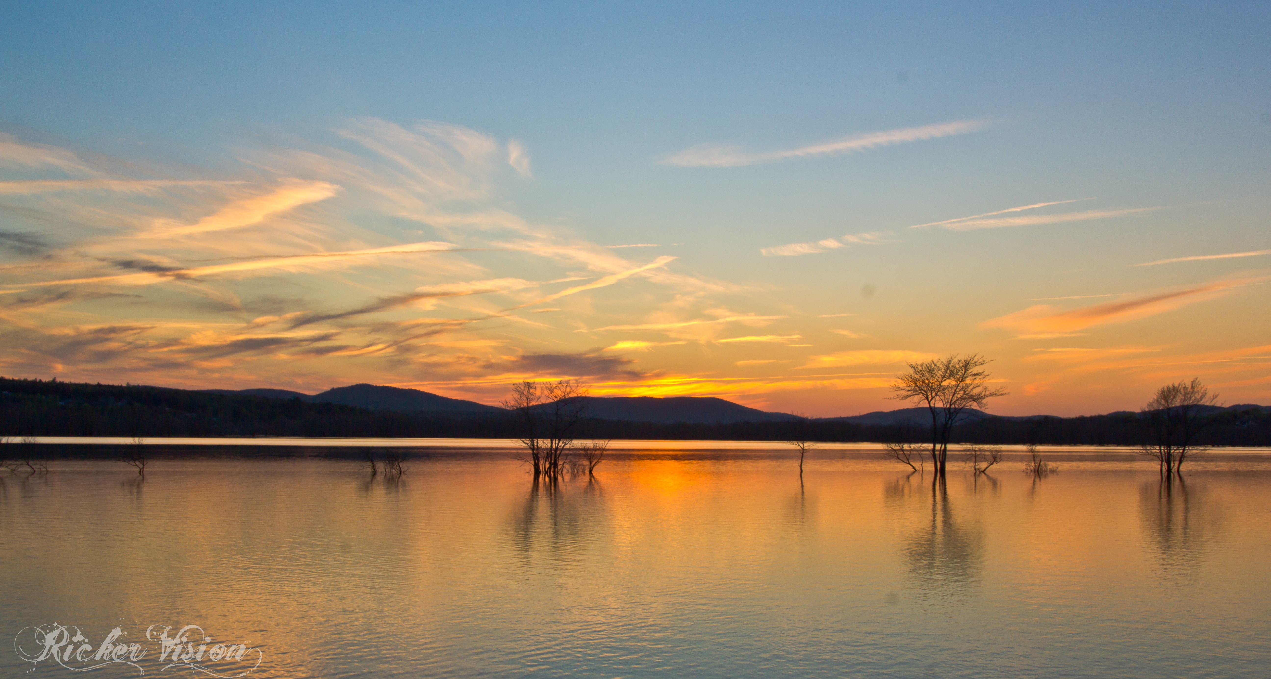
Sunset on Friday night at Ingleside.
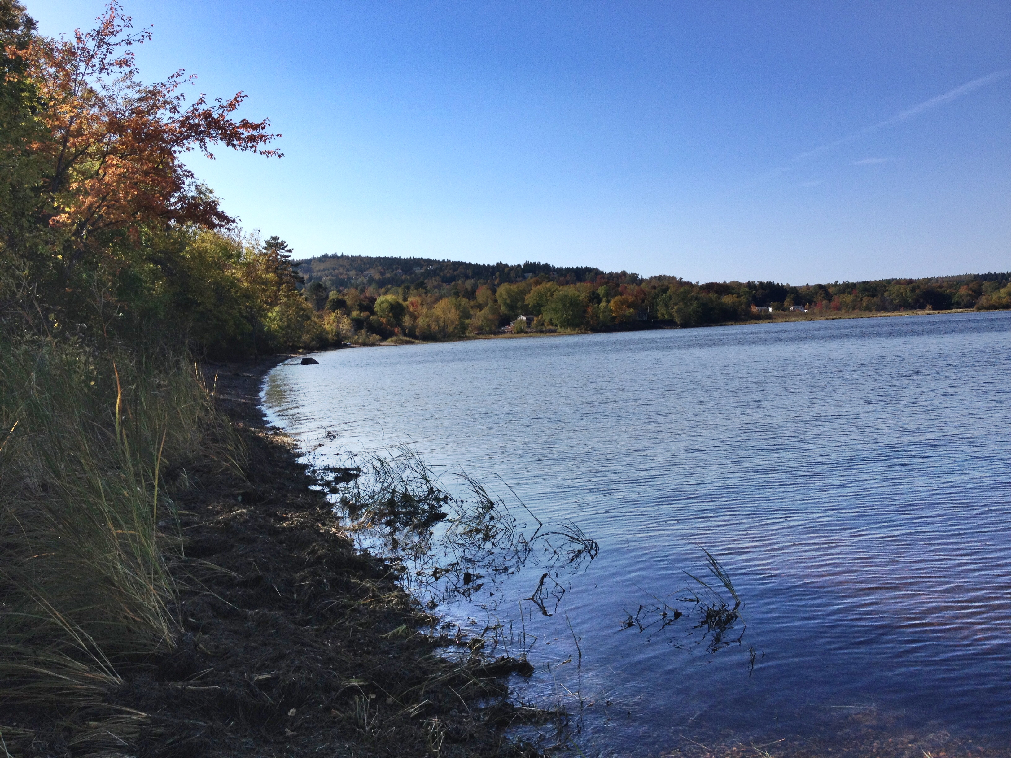
There was a lot more beach above water than the last time we were there.
The beach at Ingleside on the long weekend in May.

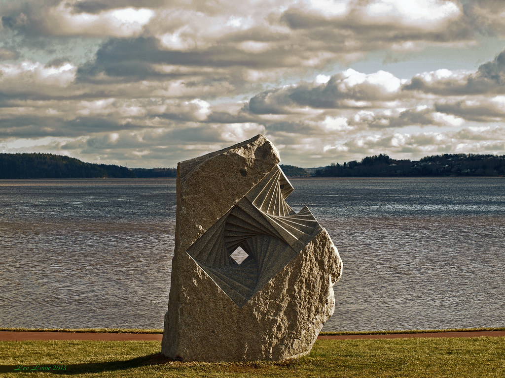
Saint John River
Topographic Map of Nerepis, Grand Bay-Westfield, NB E5K, Canada
Find elevation by address:

Places in Nerepis, Grand Bay-Westfield, NB E5K, Canada:
Places near Nerepis, Grand Bay-Westfield, NB E5K, Canada:
26 Point Rd, Nerepis, NB E5K 4S6, Canada
Eagle Rock Rd, Westfield, NB E5K, Canada
Nerepis Rd, Grand Bay-Westfield, NB E5K 2Z9, Canada
Grand Bay-westfield
9 Spring Ave
9 Spring Ave
NB-, Westfield, NB E5S, Canada
8 Cheyne Settlement Rd, Public Landing, NB E5K 4M2, Canada
Public Landing
Carters Point
48 NB-, Carters Point, NB E5S 1S5, Canada
Brittain Rd, Lower Greenwich, NB E5K 4K2, Canada
Lower Greenwich
90 Victoria Wharf Rd, Lower Greenwich, NB E5K 4J3, Canada
Petersville
NB-, Long Reach, NB E5S 2K3, Canada
NB-, Browns Flat, NB E5M 2P1, Canada
Browns Flat
Olinville Rd, Central Greenwich, NB E5M 2K5, Canada
Greenwich
Recent Searches:
- Elevation map of Greenland, Greenland
- Elevation of Sullivan Hill, New York, New York, 10002, USA
- Elevation of Morehead Road, Withrow Downs, Charlotte, Mecklenburg County, North Carolina, 28262, USA
- Elevation of 2800, Morehead Road, Withrow Downs, Charlotte, Mecklenburg County, North Carolina, 28262, USA
- Elevation of Yangbi Yi Autonomous County, Yunnan, China
- Elevation of Pingpo, Yangbi Yi Autonomous County, Yunnan, China
- Elevation of Mount Malong, Pingpo, Yangbi Yi Autonomous County, Yunnan, China
- Elevation map of Yongping County, Yunnan, China
- Elevation of North 8th Street, Palatka, Putnam County, Florida, 32177, USA
- Elevation of 107, Big Apple Road, East Palatka, Putnam County, Florida, 32131, USA
- Elevation of Jiezi, Chongzhou City, Sichuan, China
- Elevation of Chongzhou City, Sichuan, China
- Elevation of Huaiyuan, Chongzhou City, Sichuan, China
- Elevation of Qingxia, Chengdu, Sichuan, China
- Elevation of Corso Fratelli Cairoli, 35, Macerata MC, Italy
- Elevation of Tallevast Rd, Sarasota, FL, USA
- Elevation of 4th St E, Sonoma, CA, USA
- Elevation of Black Hollow Rd, Pennsdale, PA, USA
- Elevation of Oakland Ave, Williamsport, PA, USA
- Elevation of Pedrógão Grande, Portugal