Elevation of Brittain Rd, Lower Greenwich, NB E5K 4K2, Canada
Location: Canada > New Brunswick > Kings County > Greenwich > Lower Greenwich >
Longitude: -66.191196
Latitude: 45.4635599
Elevation: 97m / 318feet
Barometric Pressure: 100KPa
Elevation Map:
Satellite Map:
Related Photos:

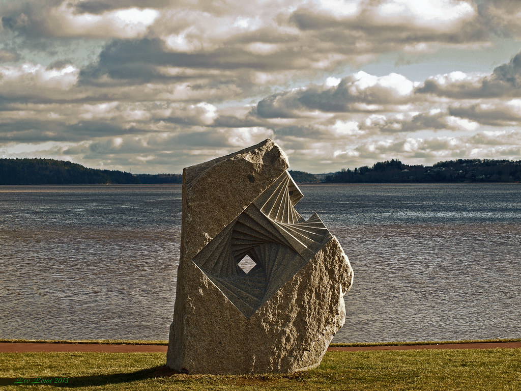
Round The Bend With A Killer Lashup

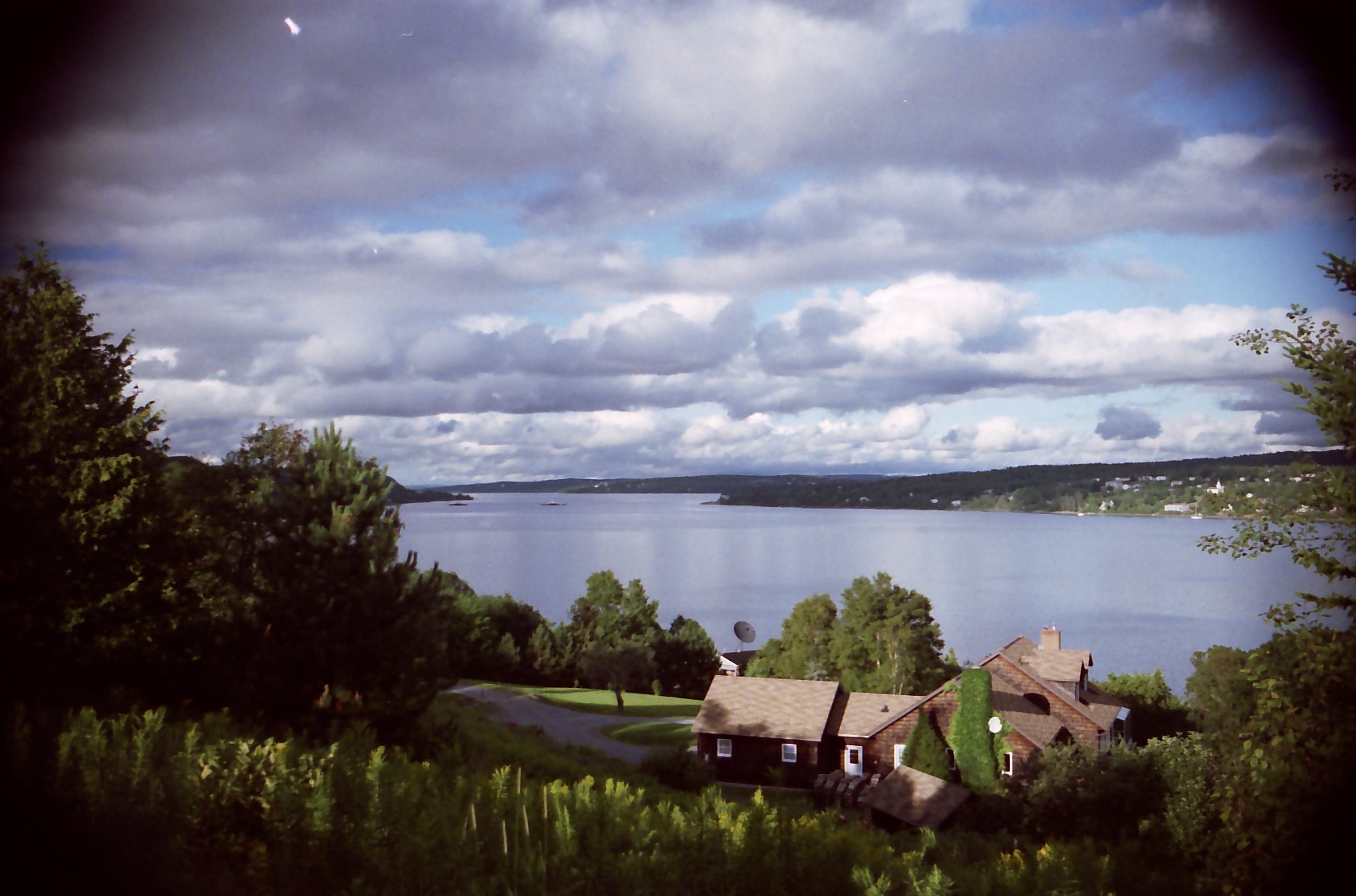
View from the cottage.
0007559 (Explore Dec 03 - 2013)
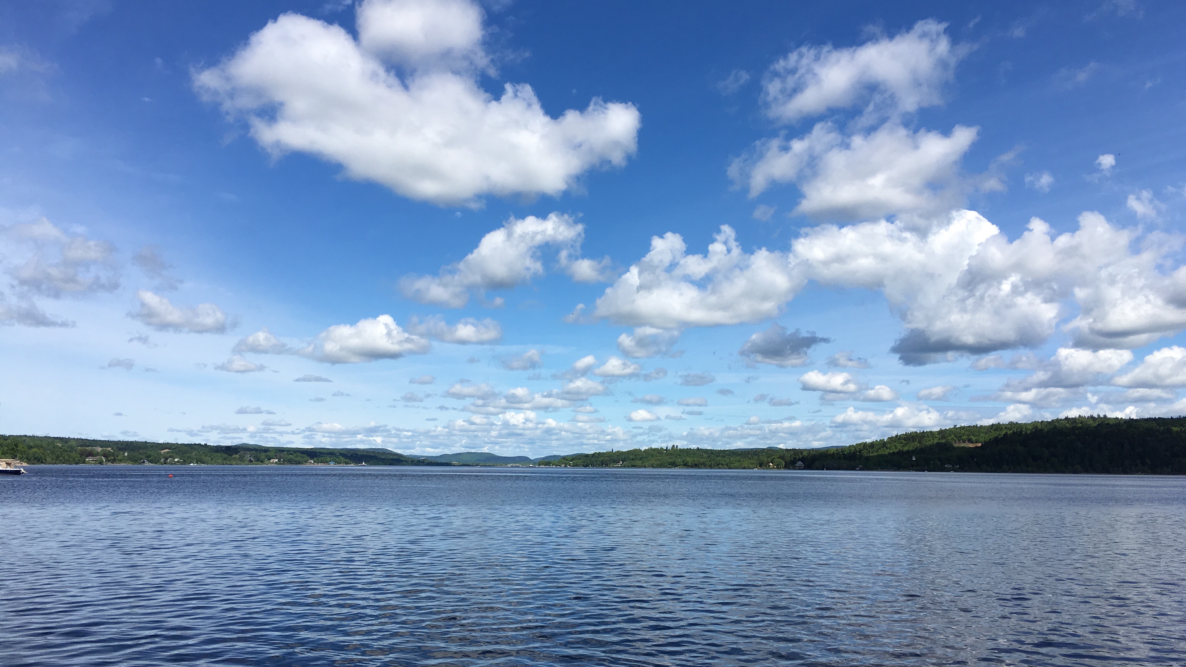
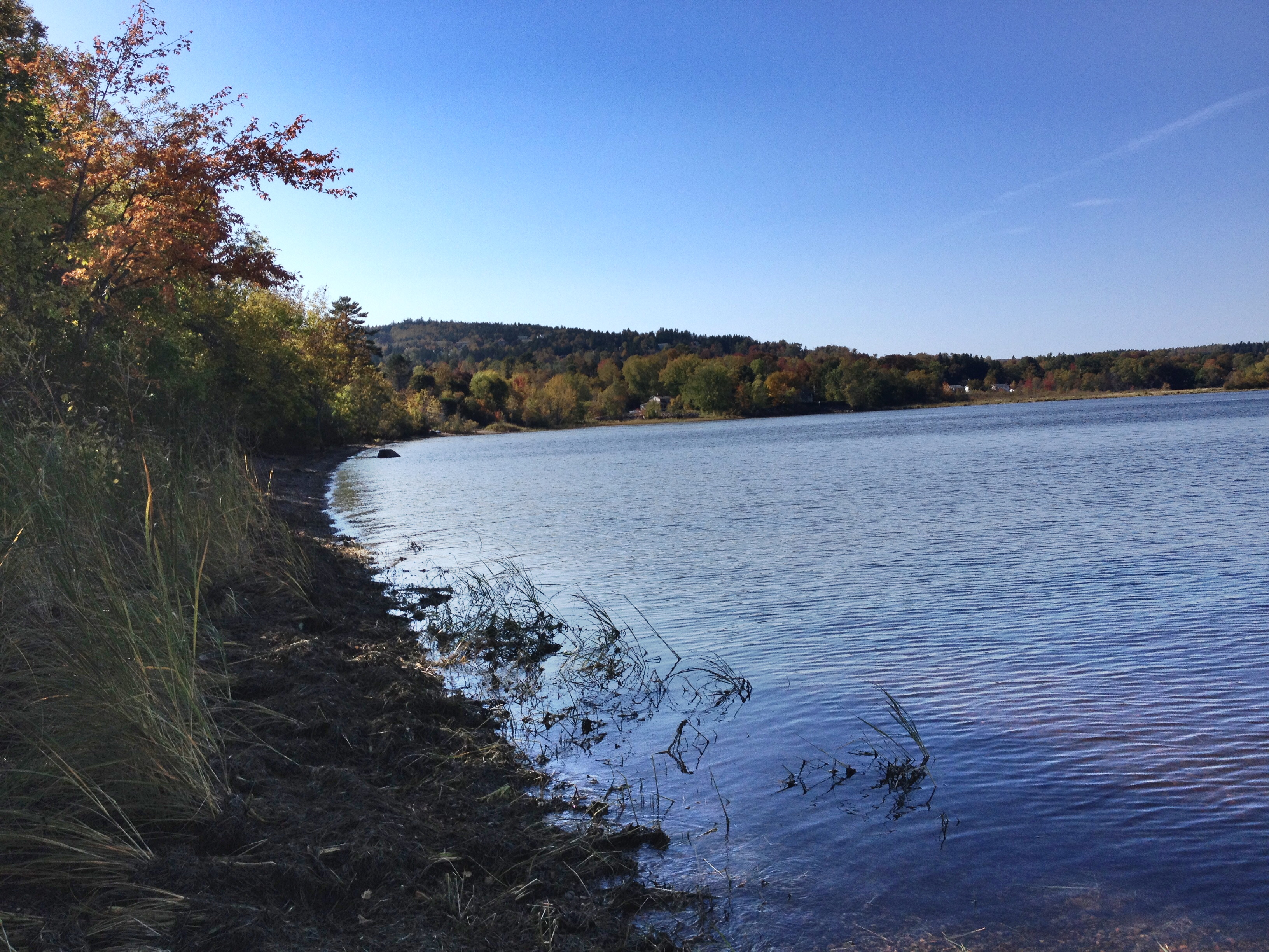
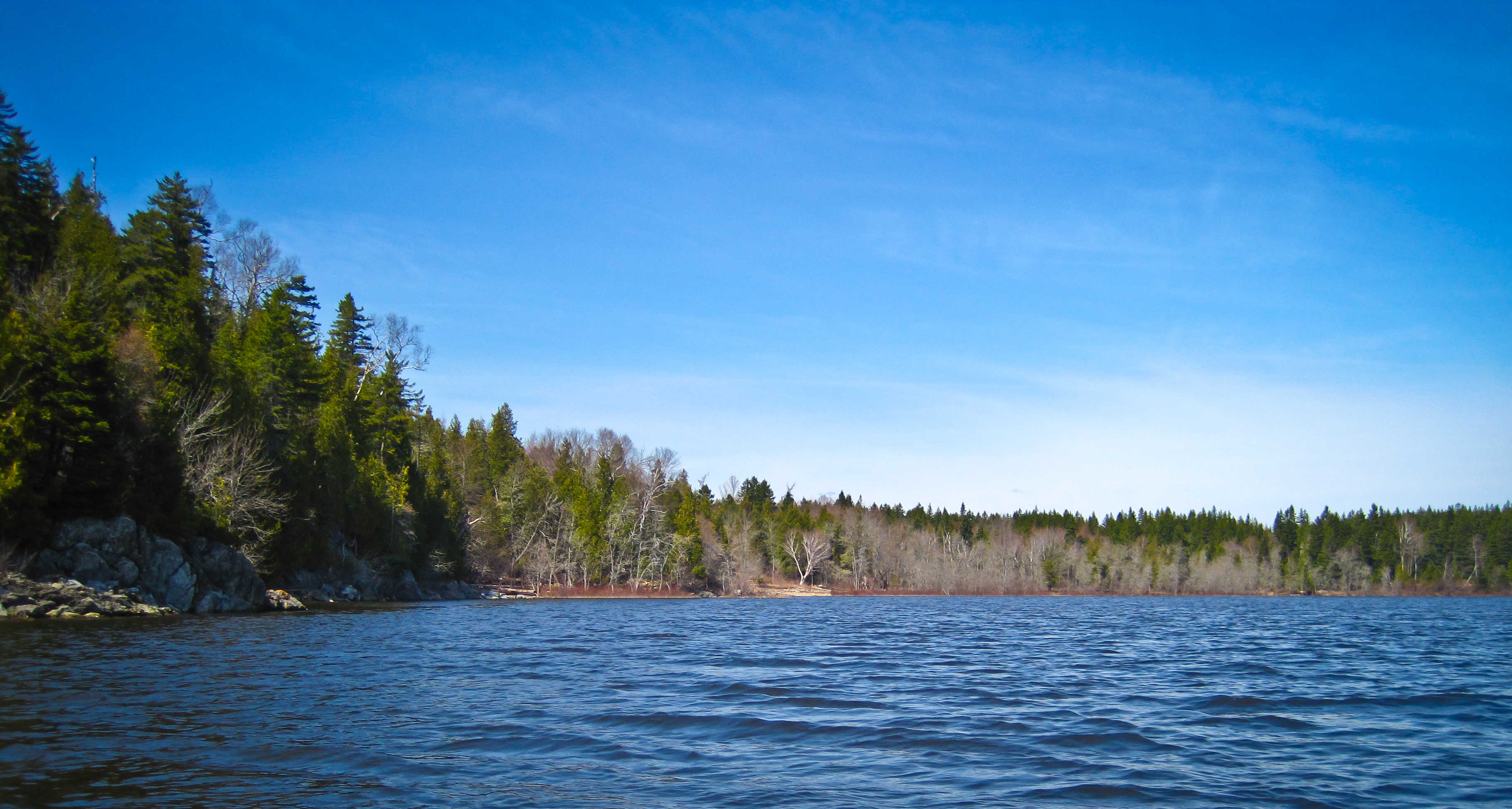
Saint John River, NB 34
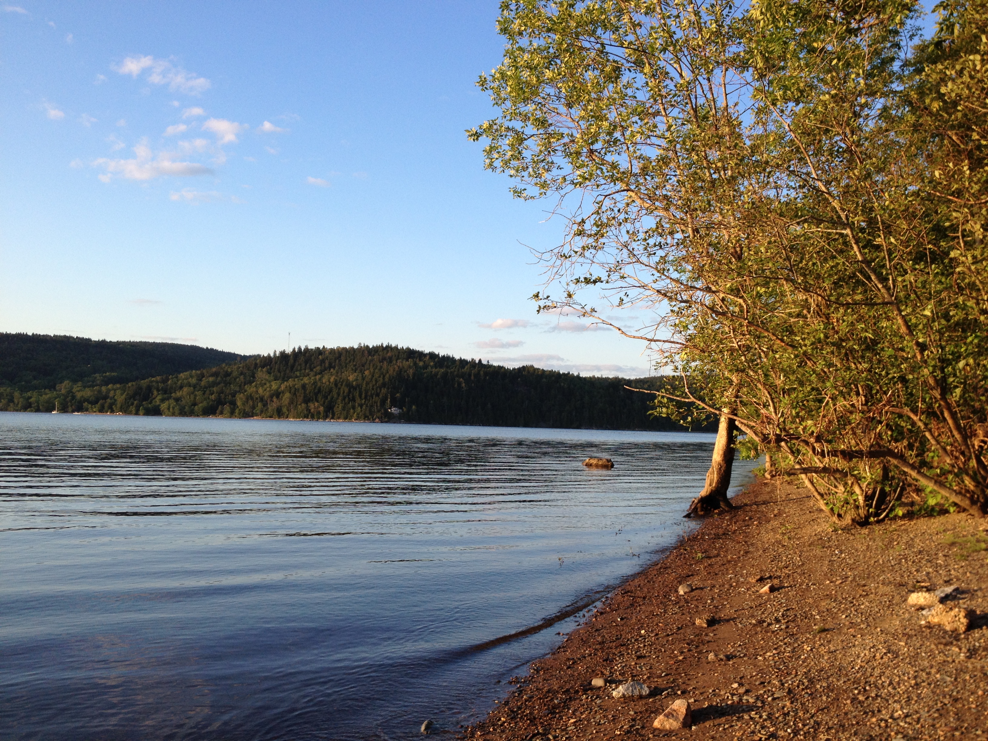
water view
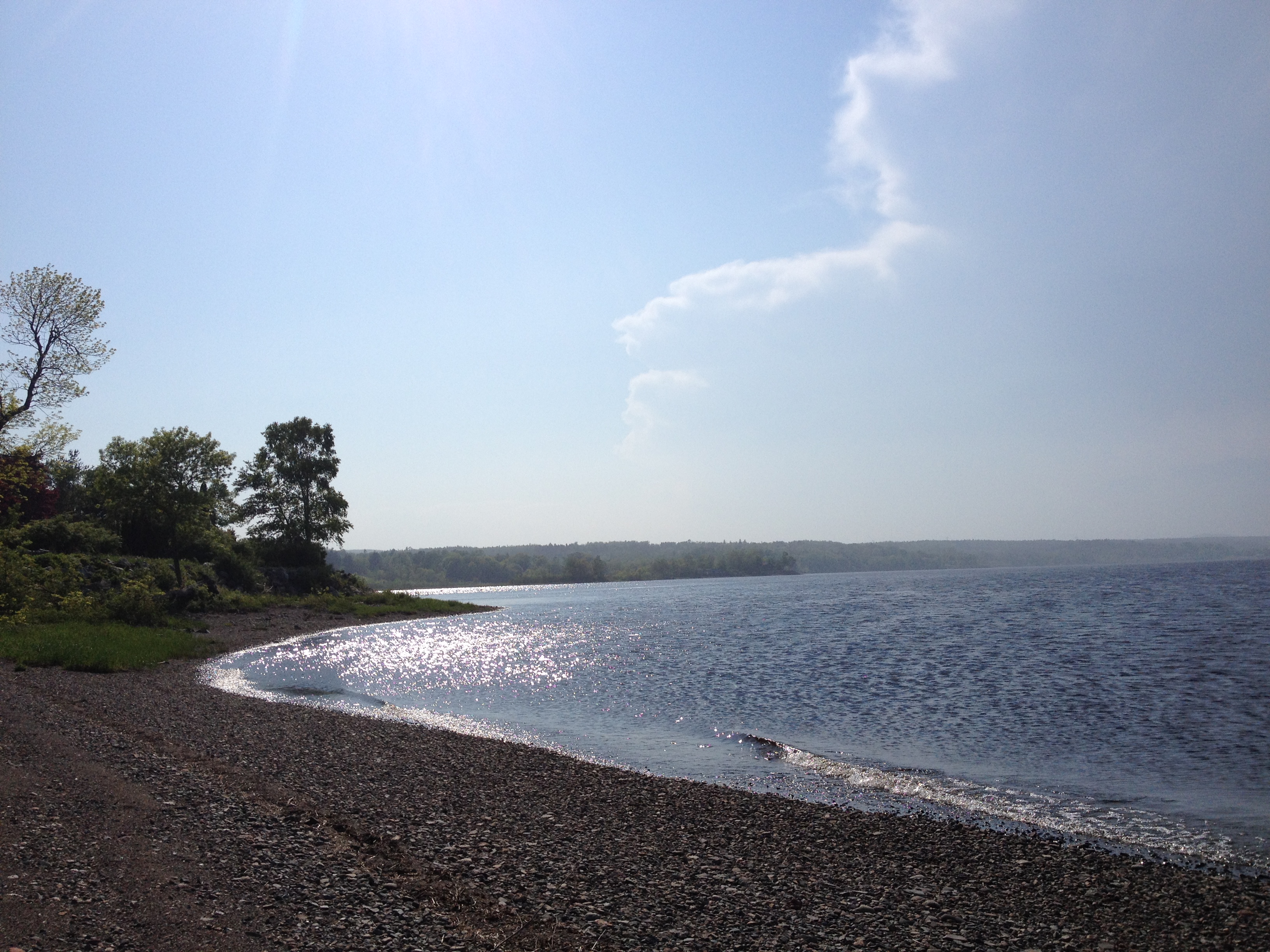
View of the Saint John River.
One year of pictures 2015, June 11: View back into the cove where our cottage is located from Brandy Point.
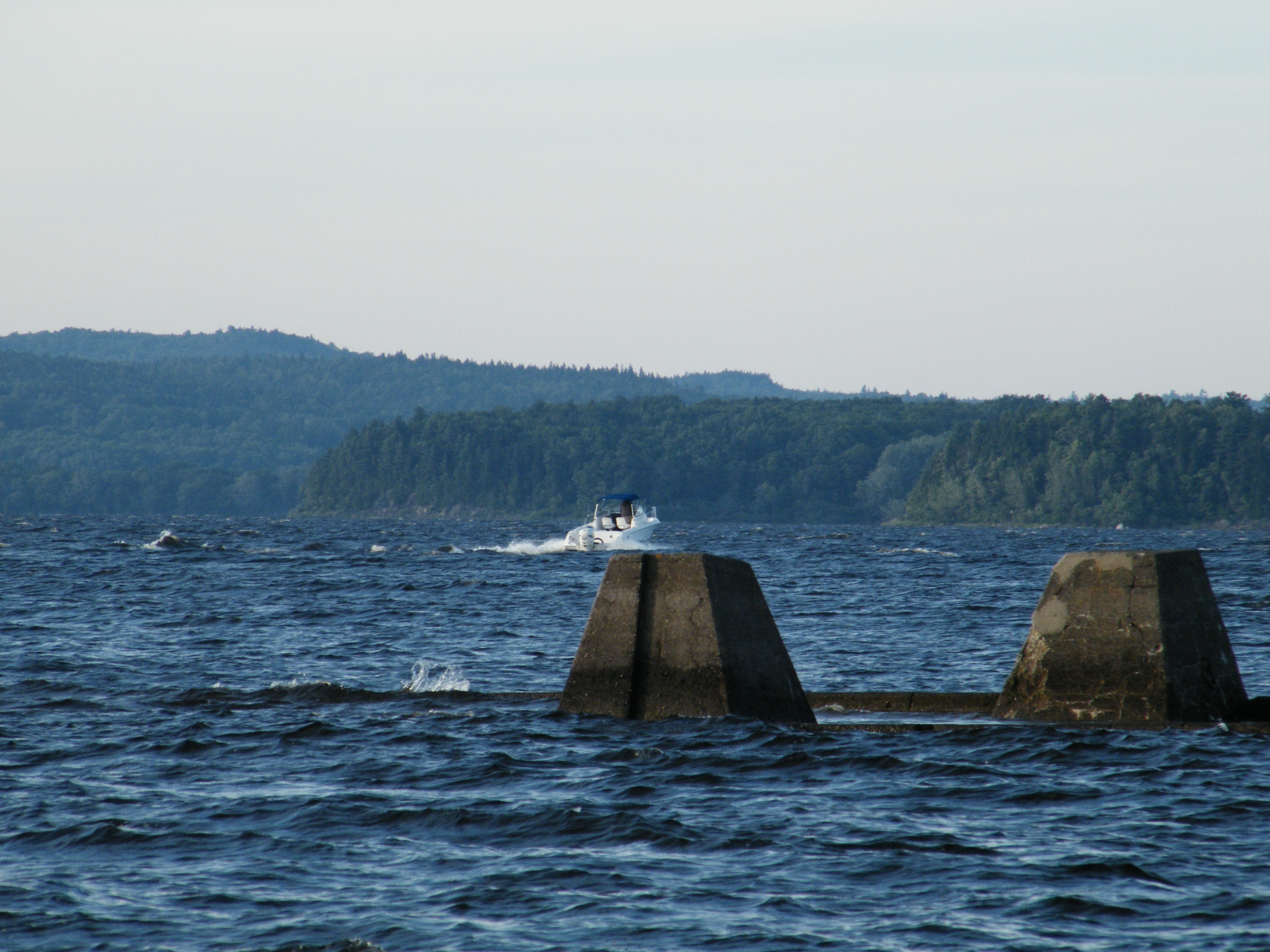
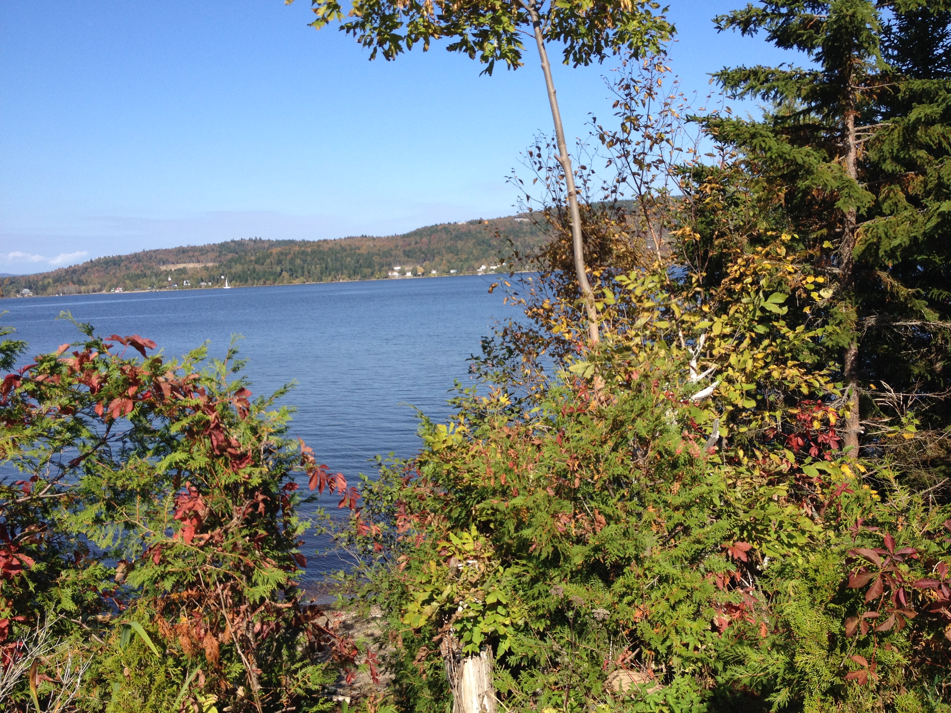
Saint John River, NB 28
March 2013
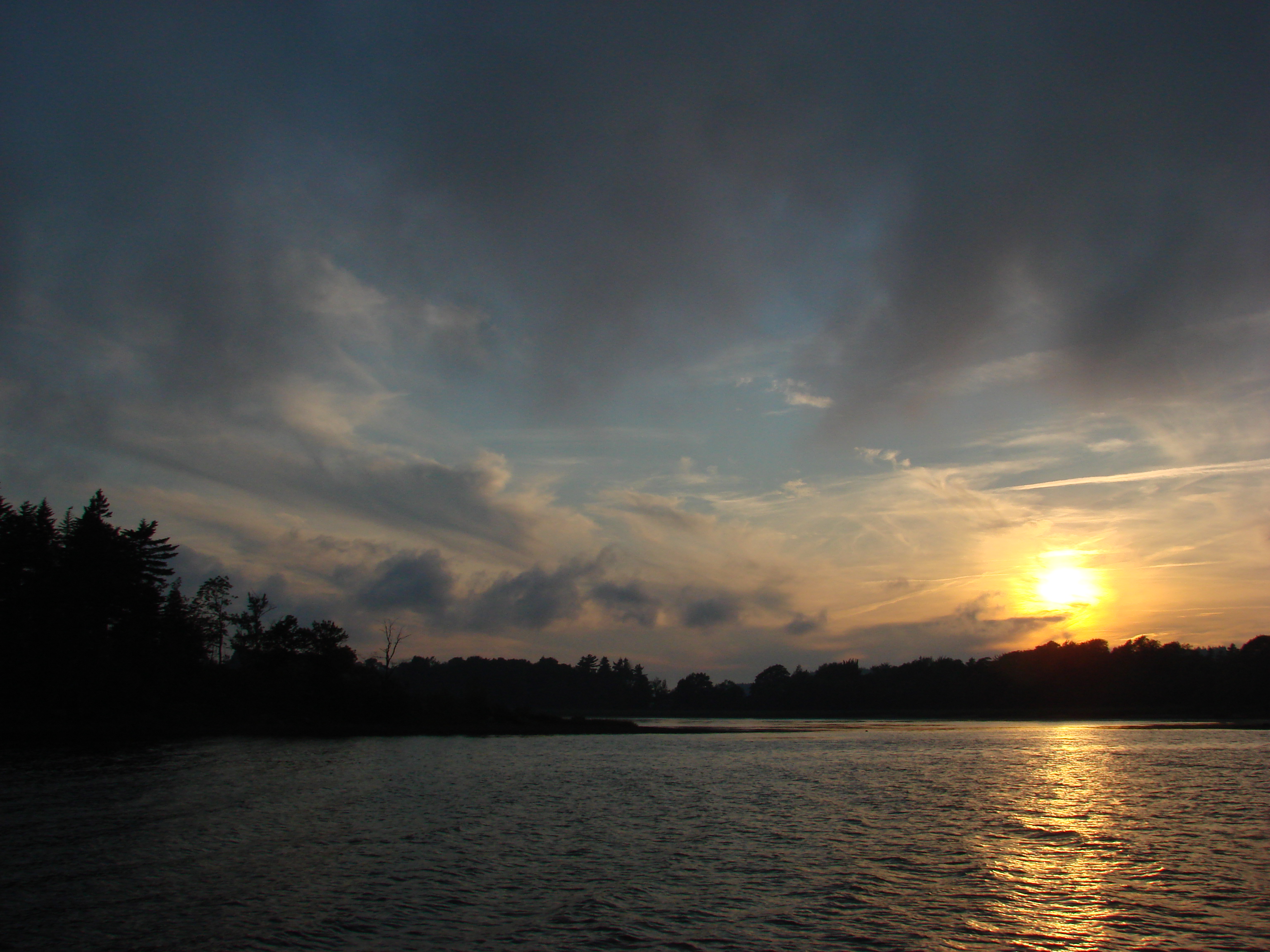
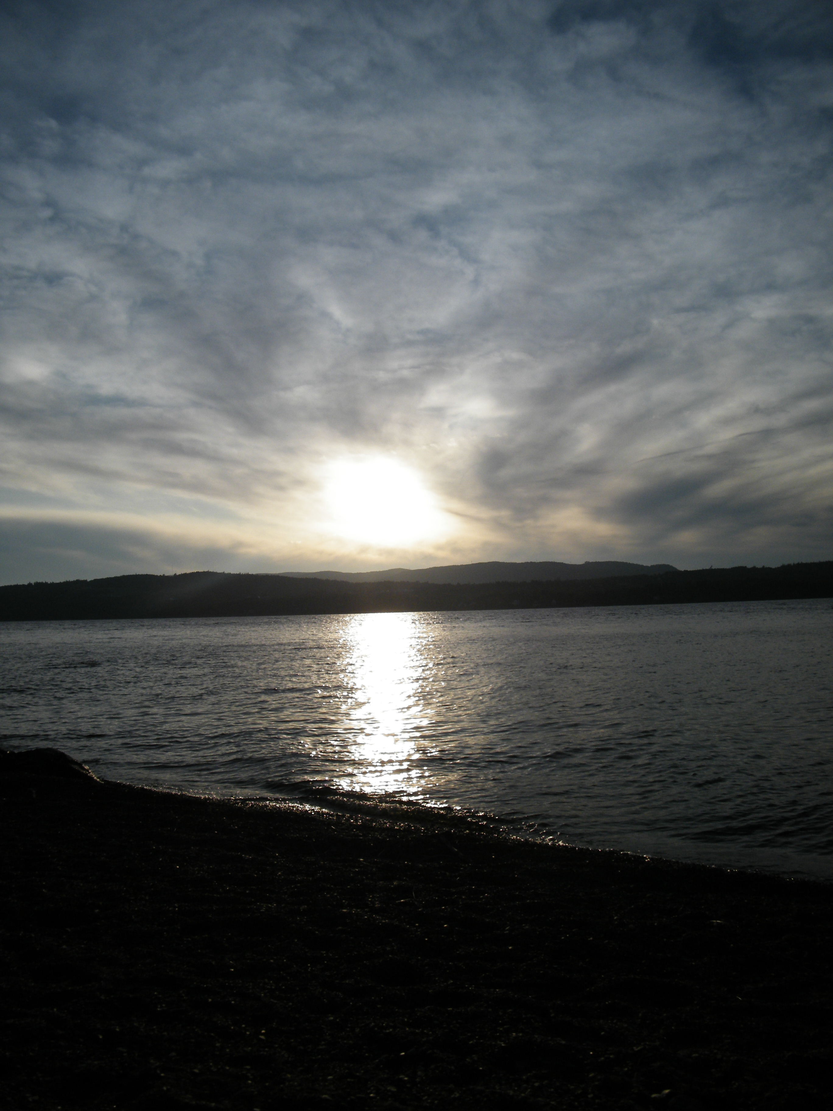
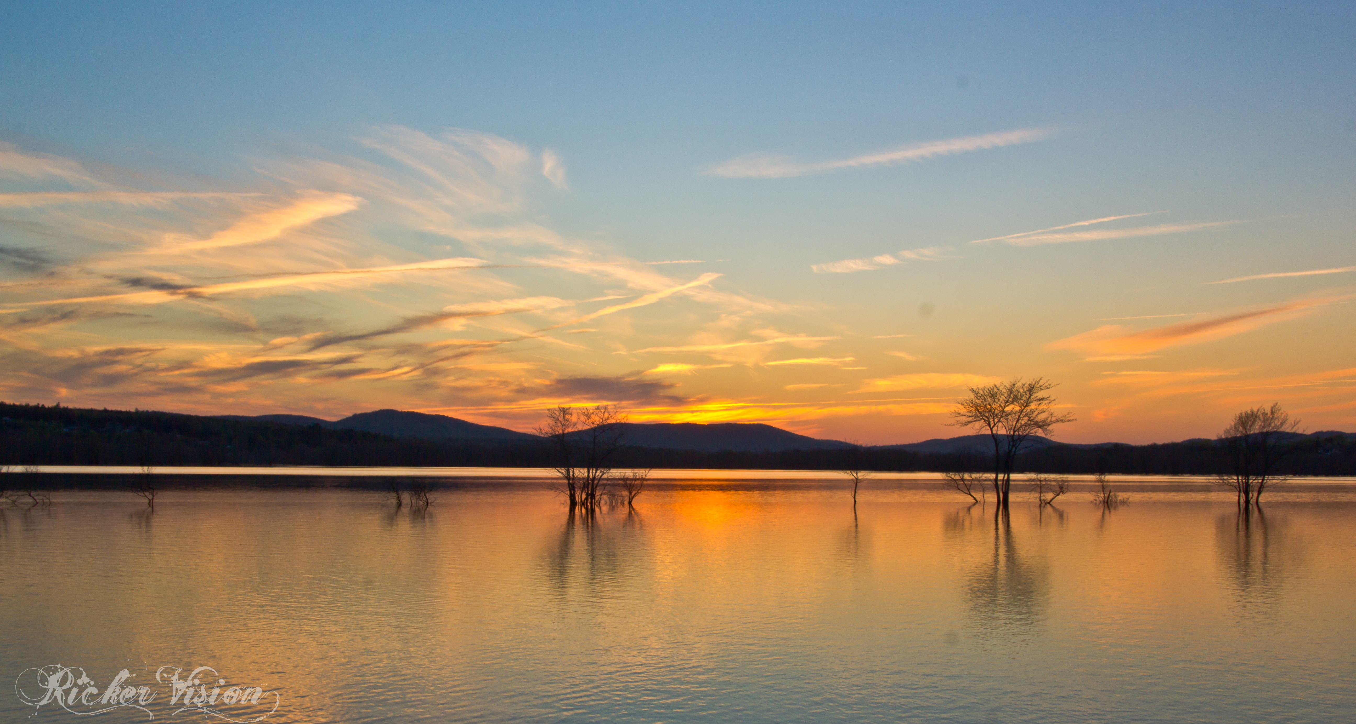
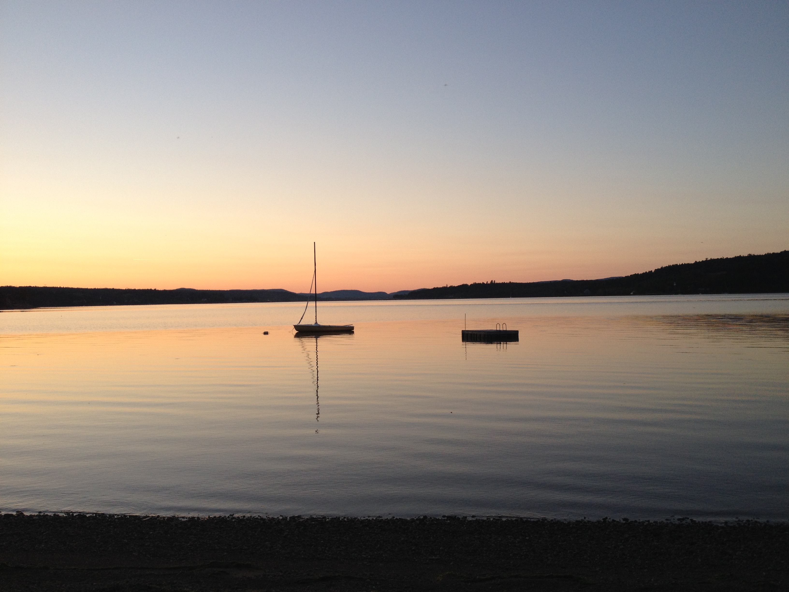
Kennebecasis Island Sunset 1
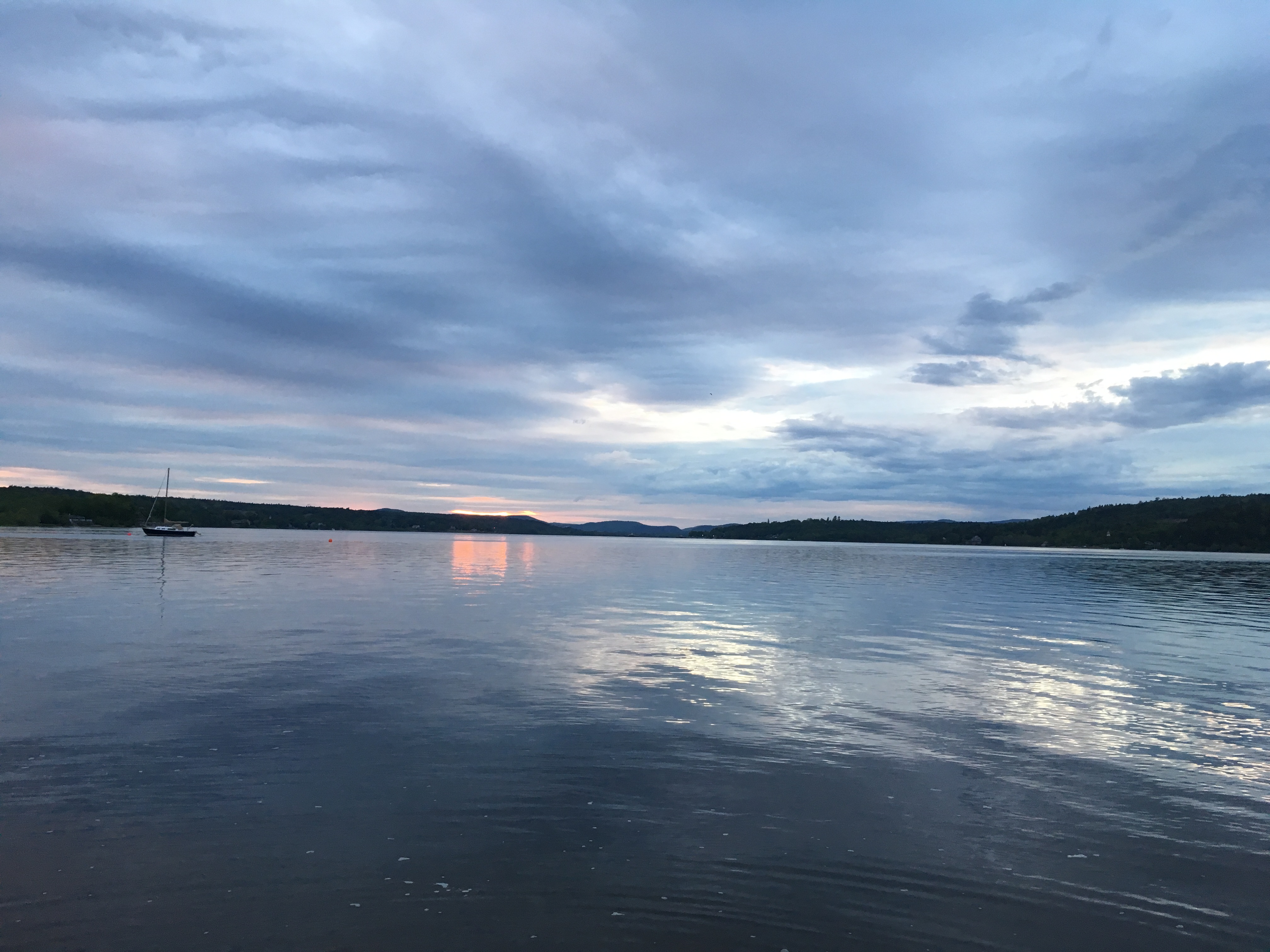
Sunset on the Saint John River.
Beach at Ingleside.
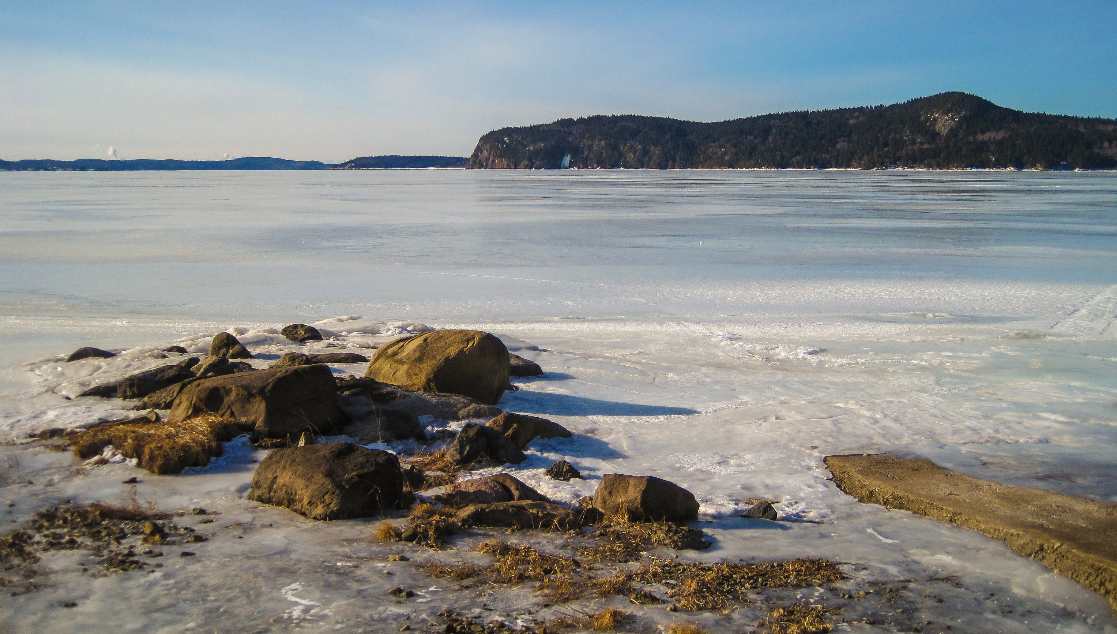
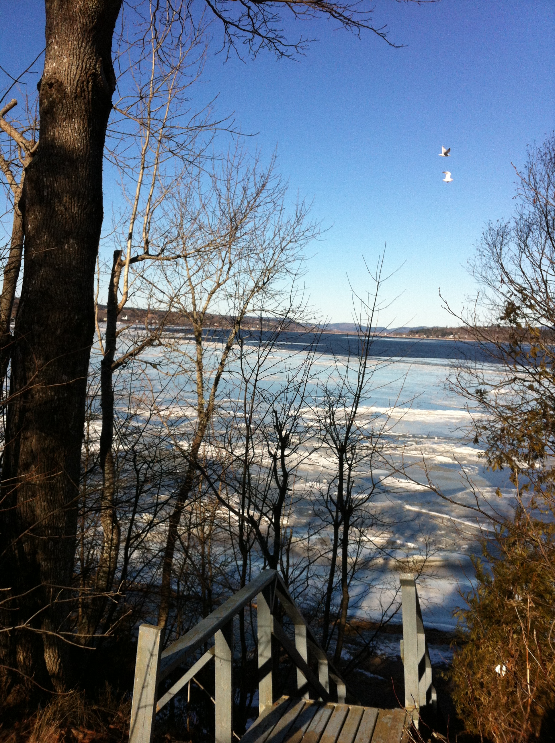
A frozen Kennebecasis Bay
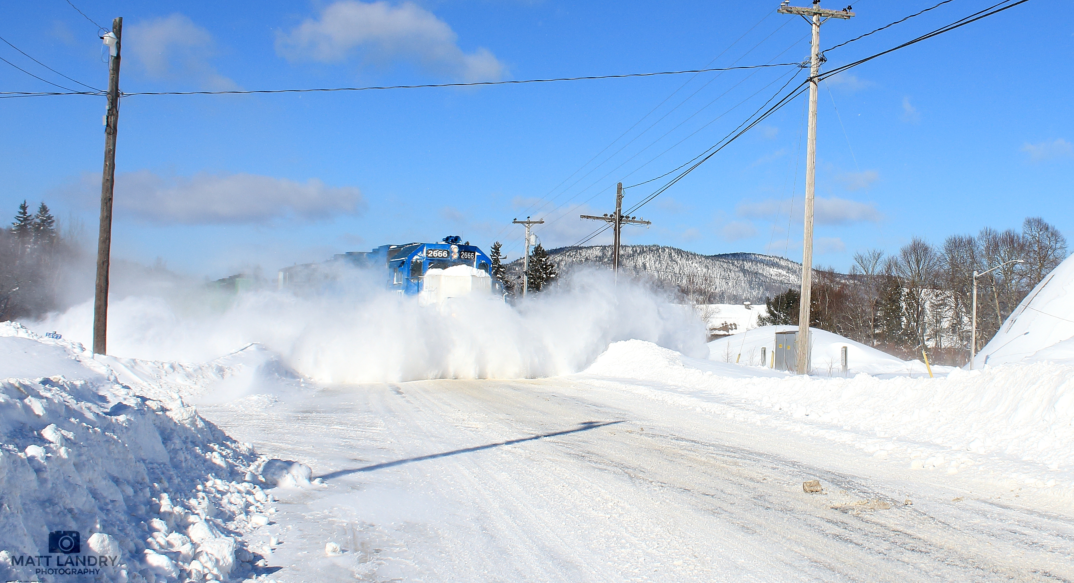
GMTX 2666 Snow Busting At Welsford, New Brunswick

Saturday on the beach.
Calm Water
Clifford and the cliffs.
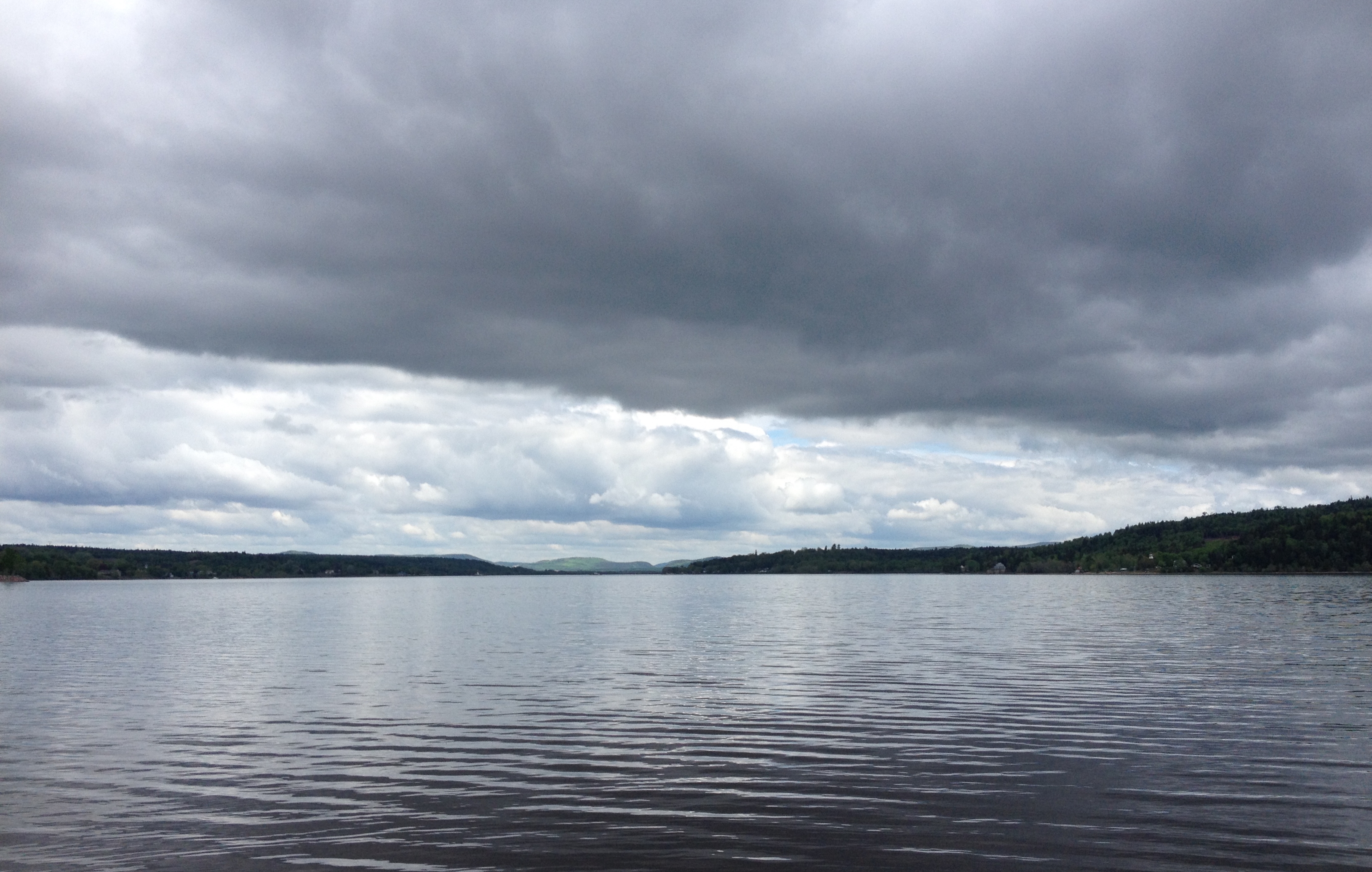
One year of pictures 2014, no. 157: It was a reasonable day at Ingleside on Saturday despite the black clouds.
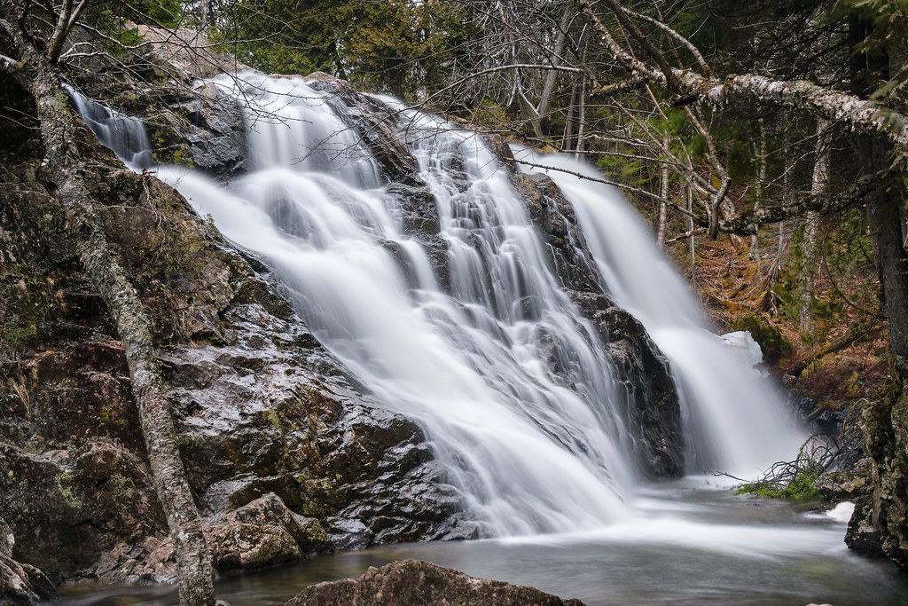
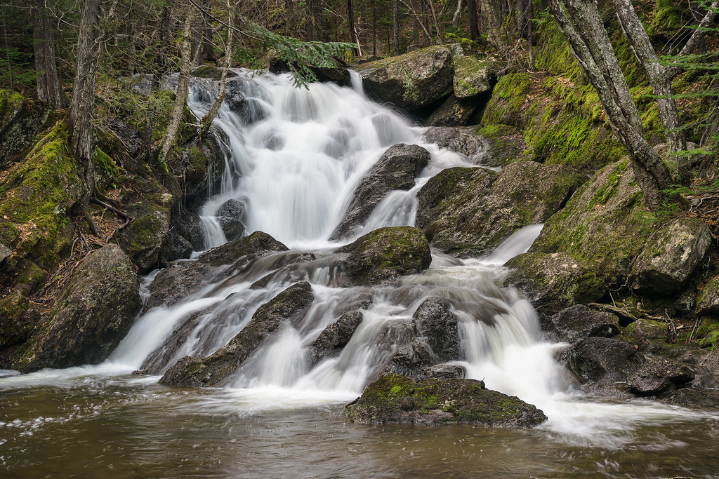
Moss Glen Falls
Upper Nail Factory Falls
Beautiful clouds over the Saint John River.
One year of pictures 2014, no. 241: John's boat on a calm evening at Ingleside.
The tide was high at Ingleside.
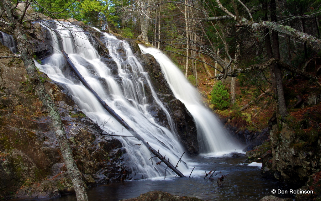
Moss Glen Falls N.B.
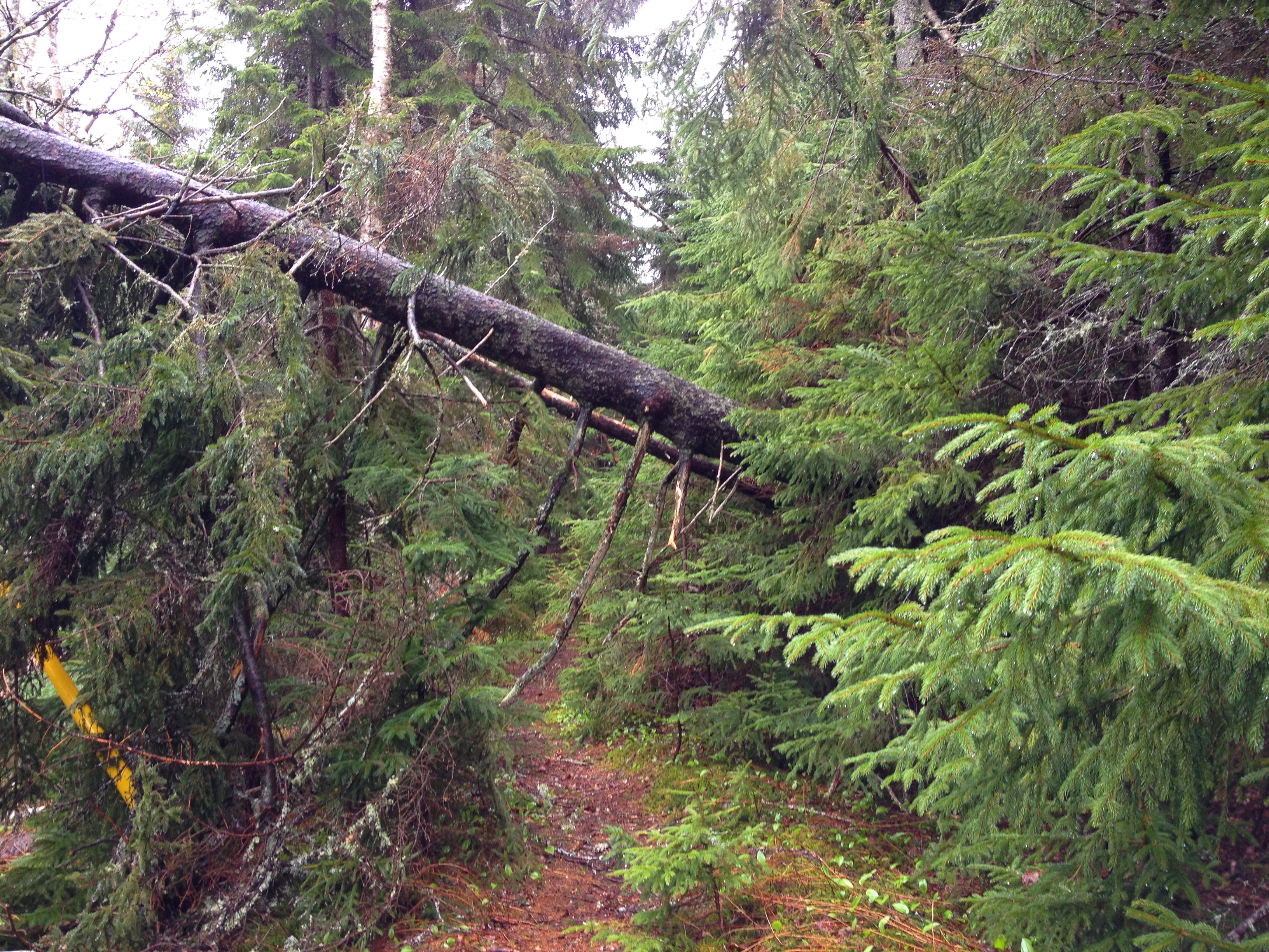
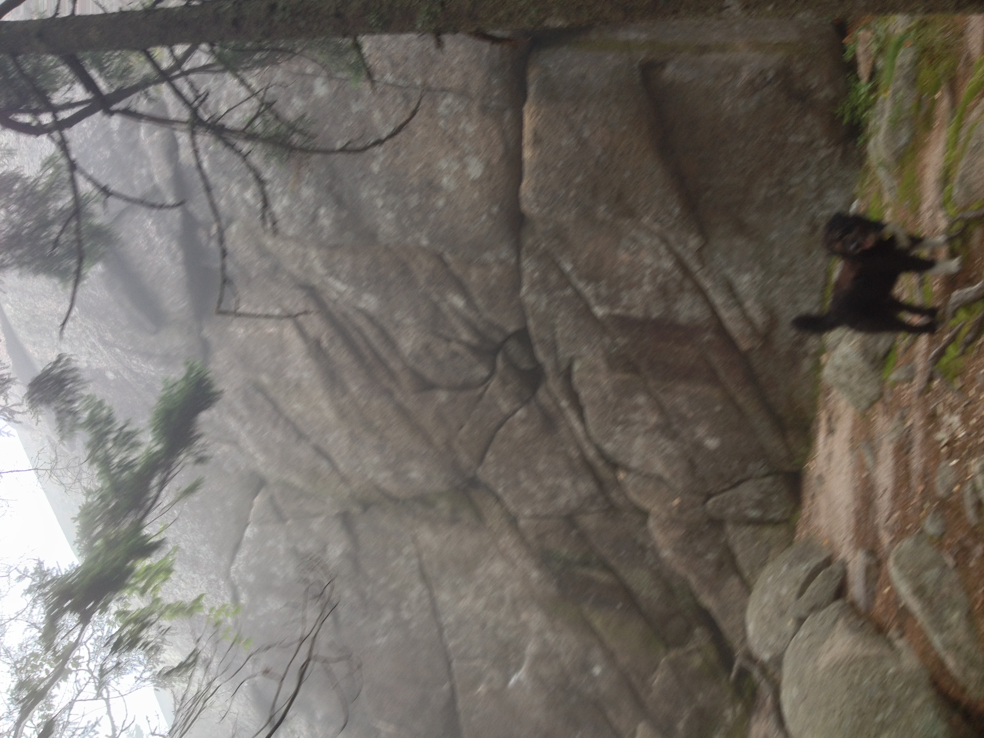
A tree had fallen across the path near Graeme's cottage where I walk Clifford.

Crooked tree on the mountain trail.

The river is very high again since the storm last week.
Long Island
Topographic Map of Brittain Rd, Lower Greenwich, NB E5K 4K2, Canada
Find elevation by address:

Places near Brittain Rd, Lower Greenwich, NB E5K 4K2, Canada:
Lower Greenwich
90 Victoria Wharf Rd, Lower Greenwich, NB E5K 4J3, Canada
8 Cheyne Settlement Rd, Public Landing, NB E5K 4M2, Canada
Public Landing
NB-, Browns Flat, NB E5M 2P1, Canada
NB-, Long Reach, NB E5S 2K3, Canada
Browns Flat
Olinville Rd, Central Greenwich, NB E5M 2K5, Canada
48 NB-, Carters Point, NB E5S 1S5, Canada
Carters Point
Greenwich
Central Greenwich
NB-, Westfield, NB E5S, Canada
Nerepis Rd, Grand Bay-Westfield, NB E5K 2Z9, Canada
Grand Bay-westfield
26 Point Rd, Nerepis, NB E5K 4S6, Canada
9 Spring Ave
9 Spring Ave
Nerepis
Eagle Rock Rd, Westfield, NB E5K, Canada
Recent Searches:
- Elevation of Kreuzburger Weg 13, Düsseldorf, Germany
- Elevation of Gateway Blvd SE, Canton, OH, USA
- Elevation of East W.T. Harris Boulevard, E W.T. Harris Blvd, Charlotte, NC, USA
- Elevation of West Sugar Creek, Charlotte, NC, USA
- Elevation of Wayland, NY, USA
- Elevation of Steadfast Ct, Daphne, AL, USA
- Elevation of Lagasgasan, X+CQH, Tiaong, Quezon, Philippines
- Elevation of Rojo Ct, Atascadero, CA, USA
- Elevation of Flagstaff Drive, Flagstaff Dr, North Carolina, USA
- Elevation of Avery Ln, Lakeland, FL, USA