Elevation of William Gurganus Rd, Maple Hill, NC, USA
Location: United States > North Carolina > Pender County > Holly > Maple Hill >
Longitude: -77.63498
Latitude: 34.709427
Elevation: 27m / 89feet
Barometric Pressure: 101KPa
Elevation Map:
Satellite Map:
Related Photos:
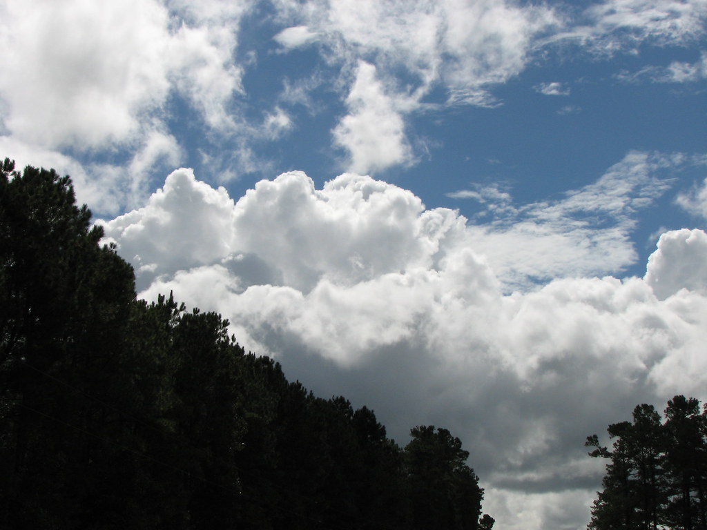
I Love Carolina Skies

"Milly, what color's the sky?" "It's pink and sissy blue."

“Don't ever take a fence down until you know why it was put up.”

Ghost Rider at Graveyard Base - Jacksonville, North Carolina
JEP_2074.jpg
IMG_8532.jpg

JEP_1875.jpg

JEP_1874.jpg

JEP_1873.jpg

JEP_1872.jpg

JEP_1869.jpg

JEP_1868.jpg

JEP_1865.jpg

JEP_1864.jpg

JEP_1862.jpg

JEP_1861.jpg

JEP_1860.jpg

JEP_1858.jpg

JEP_1857.jpg

JEP_1856.jpg
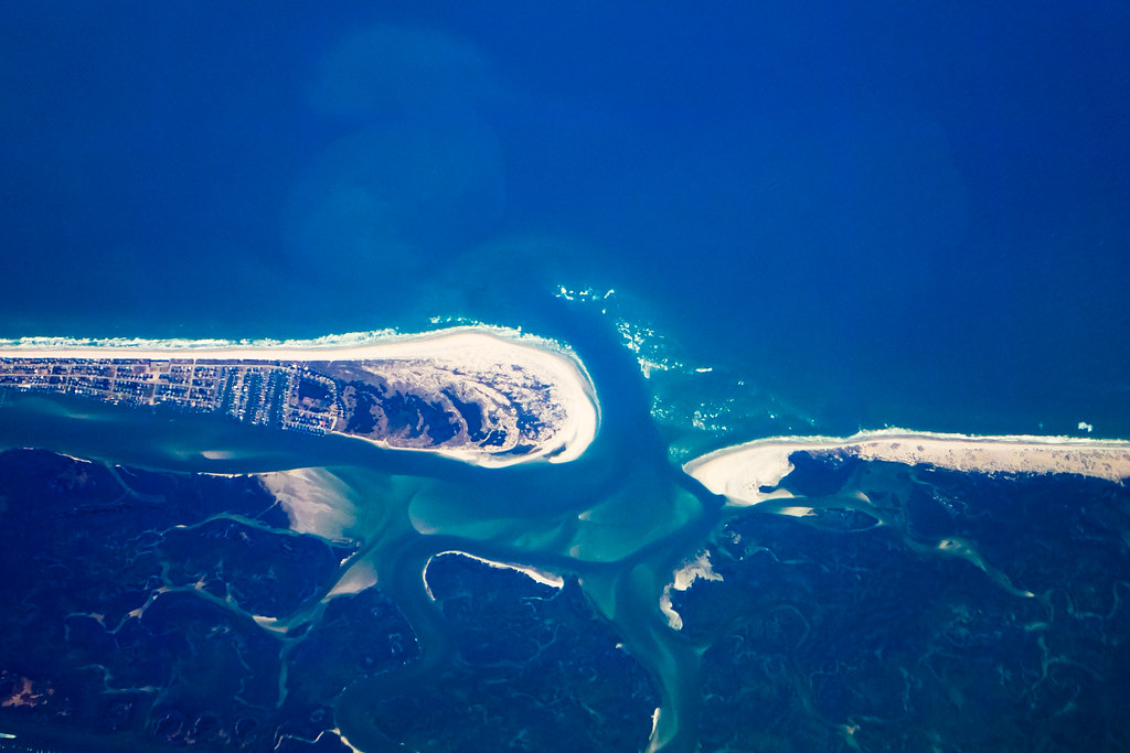
North Carolina Coastline
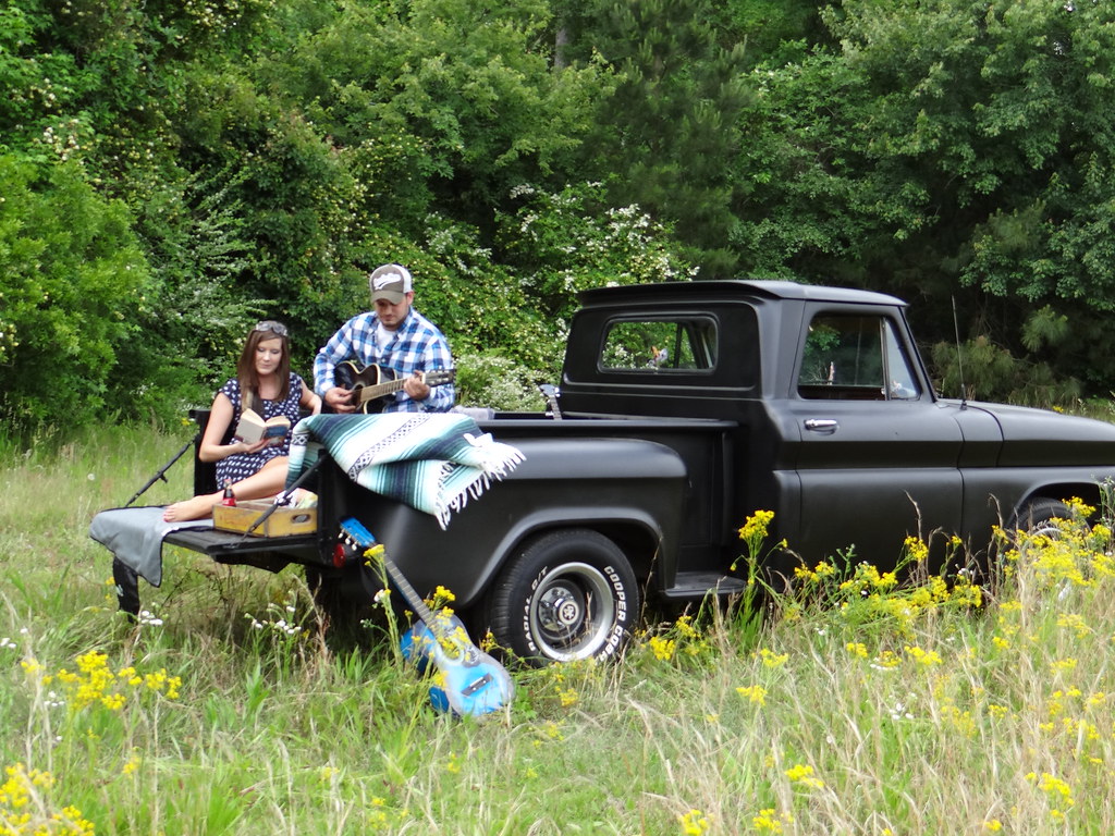
Music is LOVE
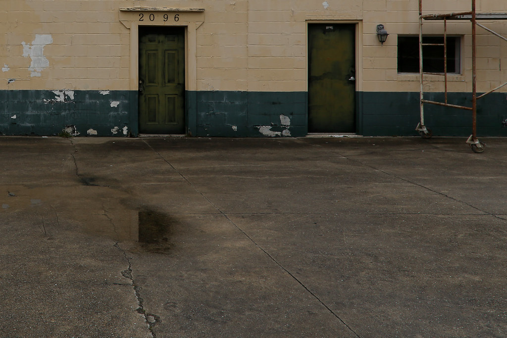
Twenty Ninety-Six
Topographic Map of William Gurganus Rd, Maple Hill, NC, USA
Find elevation by address:

Places near William Gurganus Rd, Maple Hill, NC, USA:
153 Baymeade Ln
152 Brians Woods Rd
208 Southern Dunes Dr
115 Farmstead Place
868 9 Mile Rd
154 Luby Hill Rd
Harris Creek Rd, Jacksonville, NC, USA
24403 Nc-50
Haws Run Rd, Maple Hill, NC, USA
145 Louie Ln
517 Shelmore Ln
406 Old Stage Rd
Foy Lockamy Road
121 Arabian Ln
359 Fire Tower Rd
2123 Neptune Ln
120 Vernon Shepard Ln
155 Silance Rd
317 Old Dam Rd
187 E Ridge Ct
Recent Searches:
- Elevation of Woodland Oak Pl, Thousand Oaks, CA, USA
- Elevation of Brownsdale Rd, Renfrew, PA, USA
- Elevation of Corcoran Ln, Suffolk, VA, USA
- Elevation of Mamala II, Sariaya, Quezon, Philippines
- Elevation of Sarangdanda, Nepal
- Elevation of 7 Waterfall Way, Tomball, TX, USA
- Elevation of SW 57th Ave, Portland, OR, USA
- Elevation of Crocker Dr, Vacaville, CA, USA
- Elevation of Pu Ngaol Community Meeting Hall, HWHM+3X7, Krong Saen Monourom, Cambodia
- Elevation of Royal Ontario Museum, Queens Park, Toronto, ON M5S 2C6, Canada