Elevation of Fire Tower Rd, Richlands, NC, USA
Location: United States > North Carolina > Onslow County > Richlands > Richlands >
Longitude: -77.559859
Latitude: 34.801374
Elevation: 20m / 66feet
Barometric Pressure: 101KPa
Elevation Map:
Satellite Map:
Related Photos:

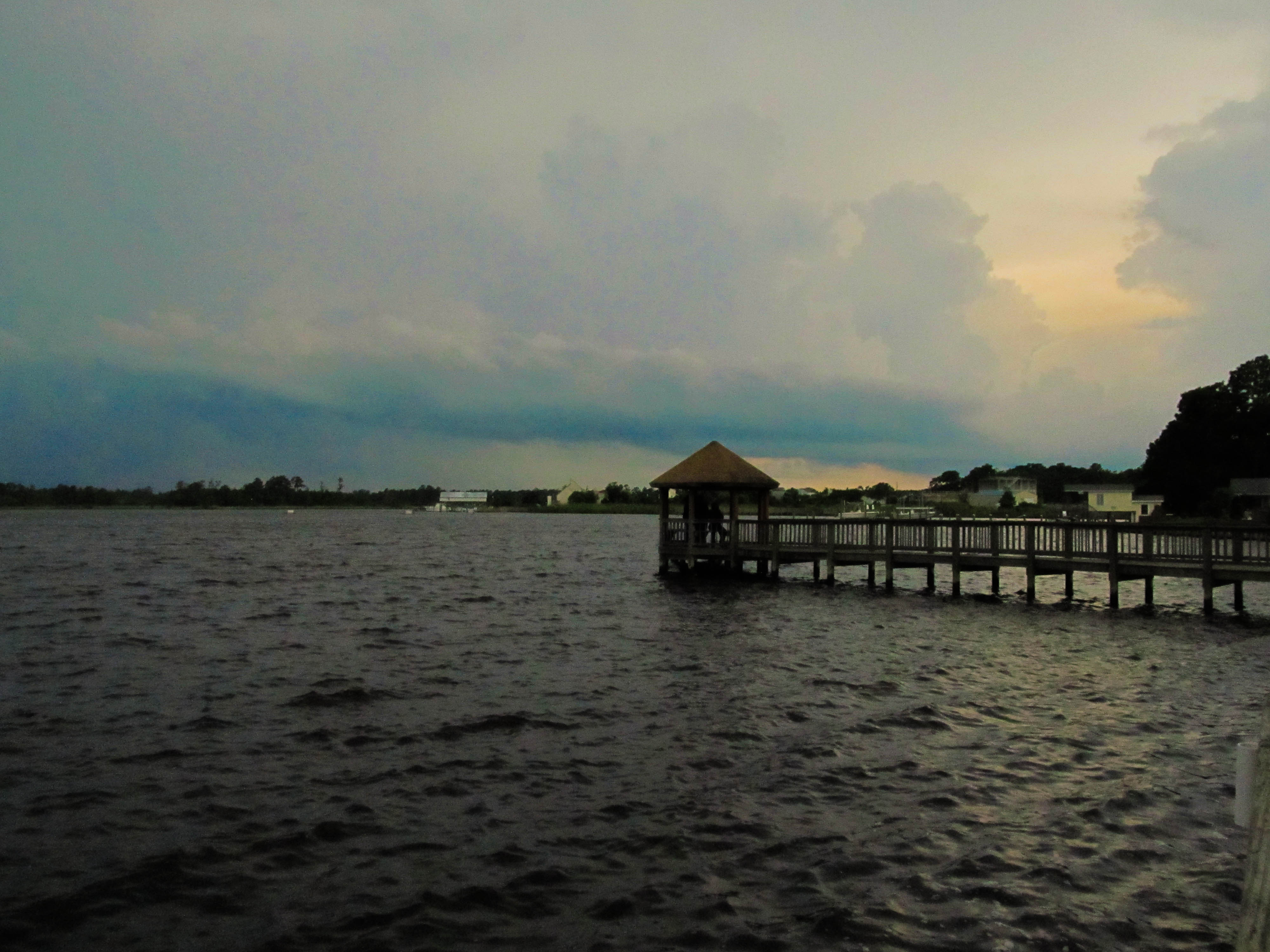
Sewel Bridge Sunset

Welcome to Jacksonville, North Carolina
Wilson Bay Gazebo
Media-09-3Wed-0105 050
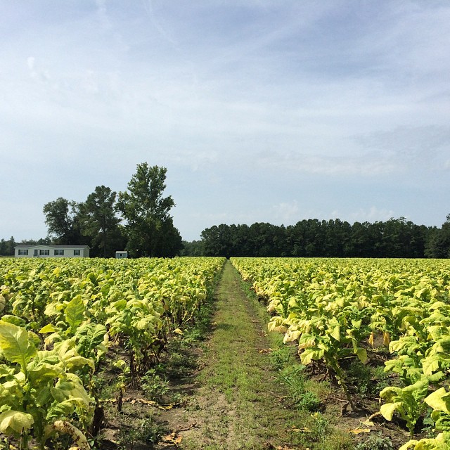
Tobacco Road
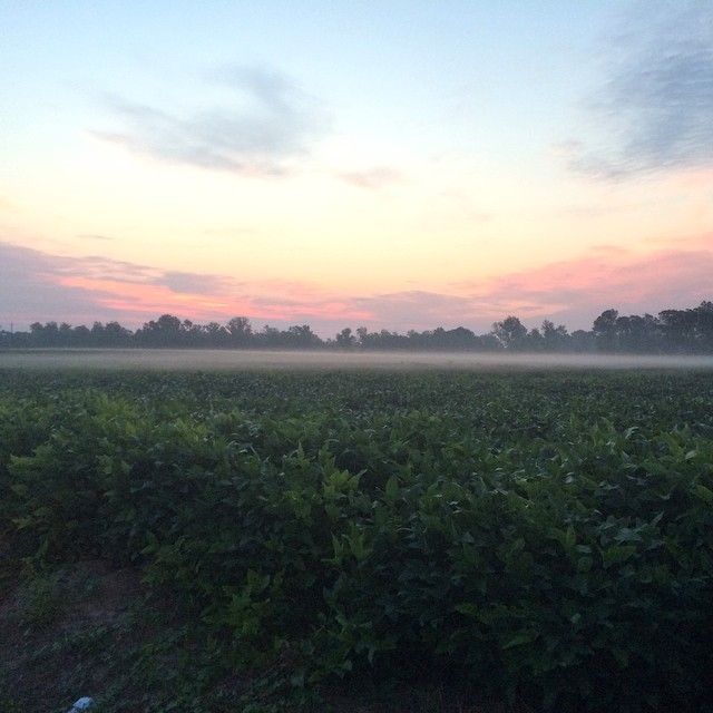
Sunrise over soybeans

Media-09-3Wed-1020 019
Oak Hurst

Media-09-3Wed-0100 166

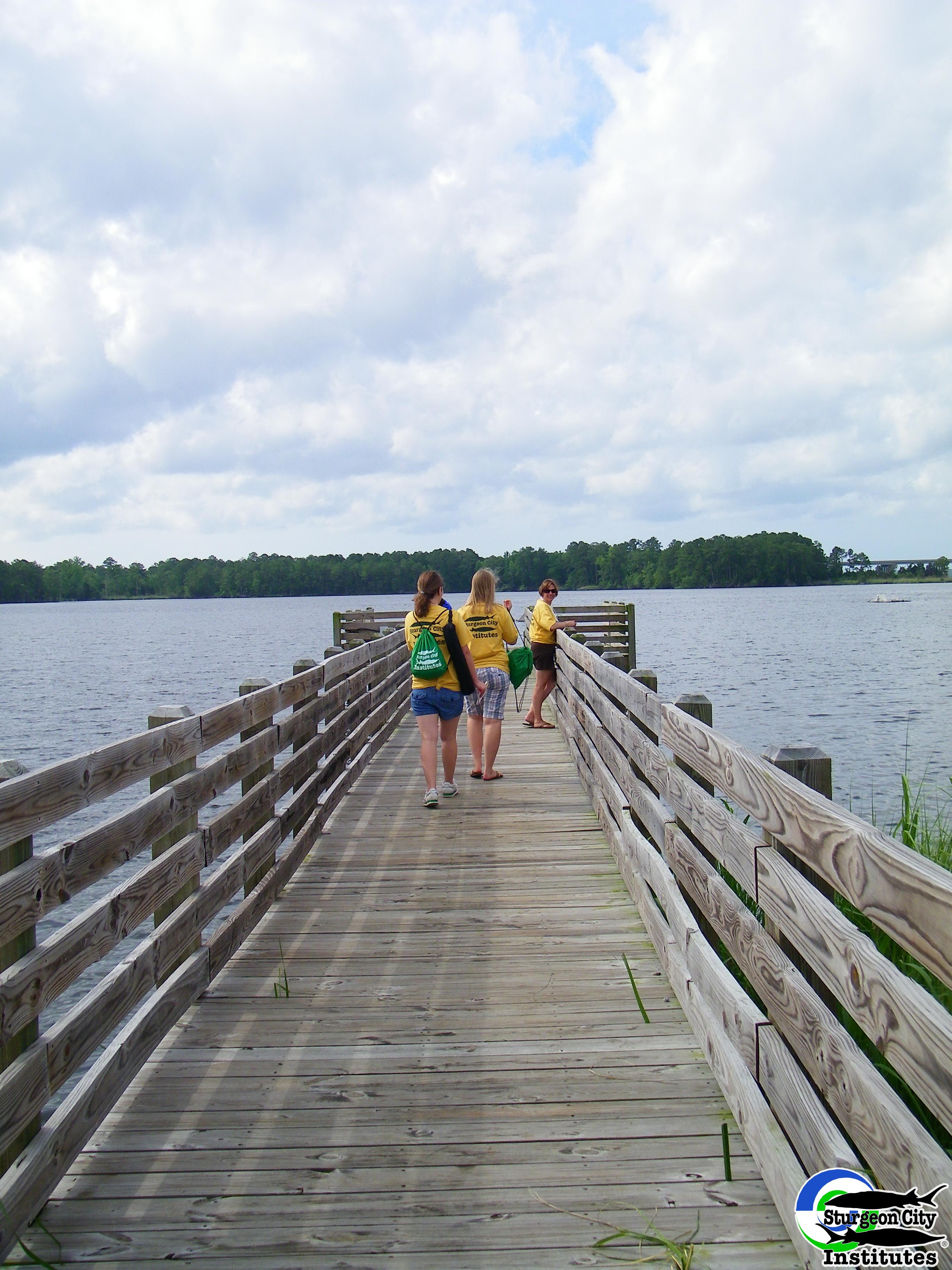
Dock at New River
North Carolina
North Carolina
Jacksonville, NC

"Milly, what color's the sky?" "It's pink and sissy blue."
Topographic Map of Fire Tower Rd, Richlands, NC, USA
Find elevation by address:

Places near Fire Tower Rd, Richlands, NC, USA:
406 Old Stage Rd
121 Arabian Ln
517 Shelmore Ln
Foy Lockamy Road
803 Little Cardinal Ct
709 Cattail Ct
217 Peters Ln
217 Peters Ln
217 Peters Ln
868 9 Mile Rd
Harris Creek Rd, Jacksonville, NC, USA
511 State Rd 1136
302 Forbes Ln
2123 Neptune Ln
155 Silance Rd
1494 Murrill Hill Rd
405 Maplehurst Dr
100 Riverbend Rd
120 Vernon Shepard Ln
Jacksonville
Recent Searches:
- Elevation of Crystal Cir, Birmingham, AL, USA
- Elevation of N Railroad Ave, West Palm Beach, FL, USA
- Elevation of 55 Cassick Valley Rd, Wellfleet, MA, USA
- Elevation of Ironwood Dr, Minden, NV, USA
- Elevation of 高尾山口駅, Takaomachi, Hachioji, Tokyo -, Japan
- Elevation of 15 Victory Ave, Greenville, SC, USA
- Elevation of Kota Ternate Utara, Ternate City, North Maluku, Indonesia
- Elevation of Allon St, Oceanside, NY, USA
- Elevation of Carroll Creek Rd, Custer, SD, USA
- Elevation of Lust Road, Lust Rd, Florida, USA