Elevation of Harris Creek Rd, Jacksonville, NC, USA
Location: United States > North Carolina > Onslow County > Jacksonville > Jacksonville >
Longitude: -77.578531
Latitude: 34.7210759
Elevation: 19m / 62feet
Barometric Pressure: 101KPa
Elevation Map:
Satellite Map:
Related Photos:

Sewel Bridge Sunset
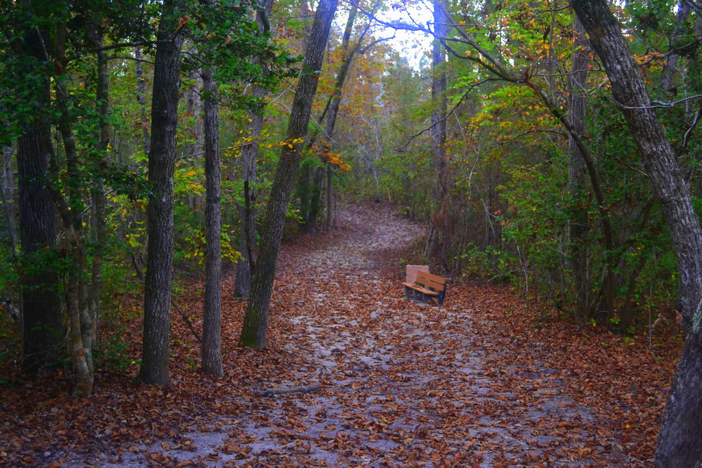
The Views
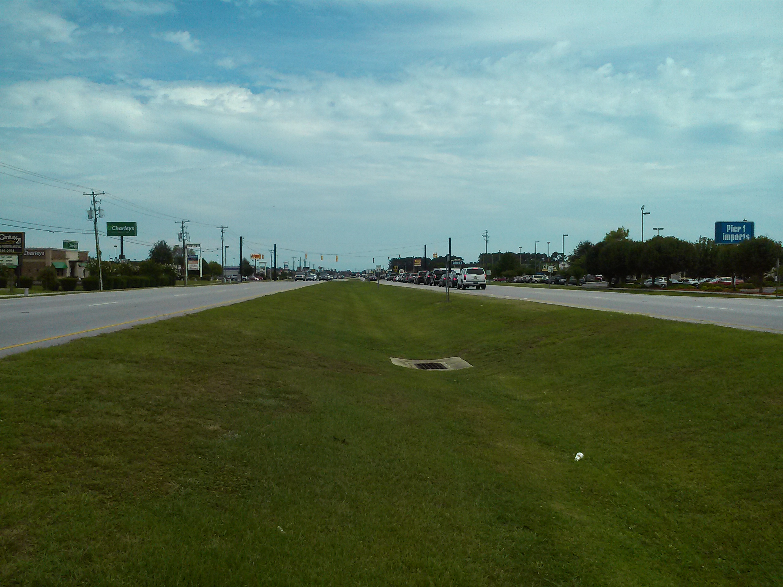
Jacksonville, NC

New River Sunrise
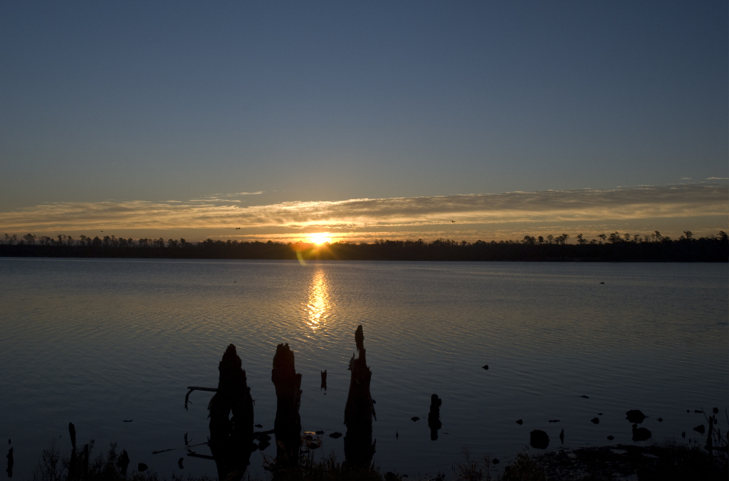
New River Sunrise

"Milly, what color's the sky?" "It's pink and sissy blue."
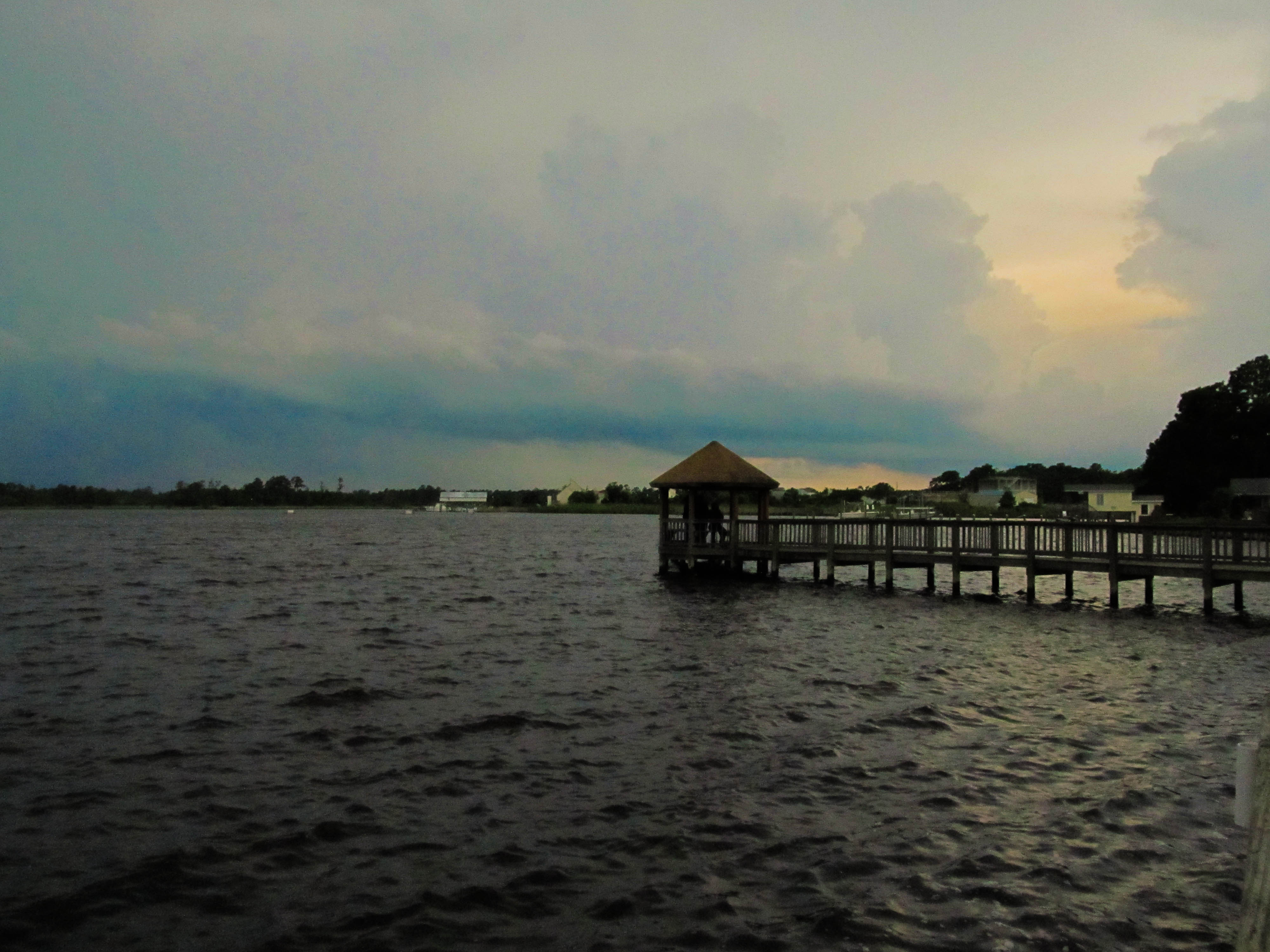
Wilson Bay Gazebo
Media-09-3Wed-0105 050

Media-09-3Wed-0110 036
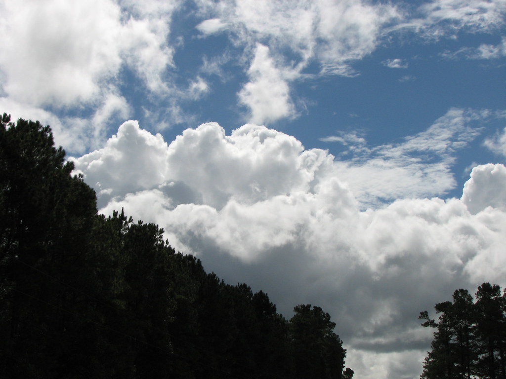
I Love Carolina Skies

Media-09-3Wed-1020 002

Media-09-3Wed-1020 019
Oak Hurst
What is wrong with this picture?

Media-09-3Wed-0100 166

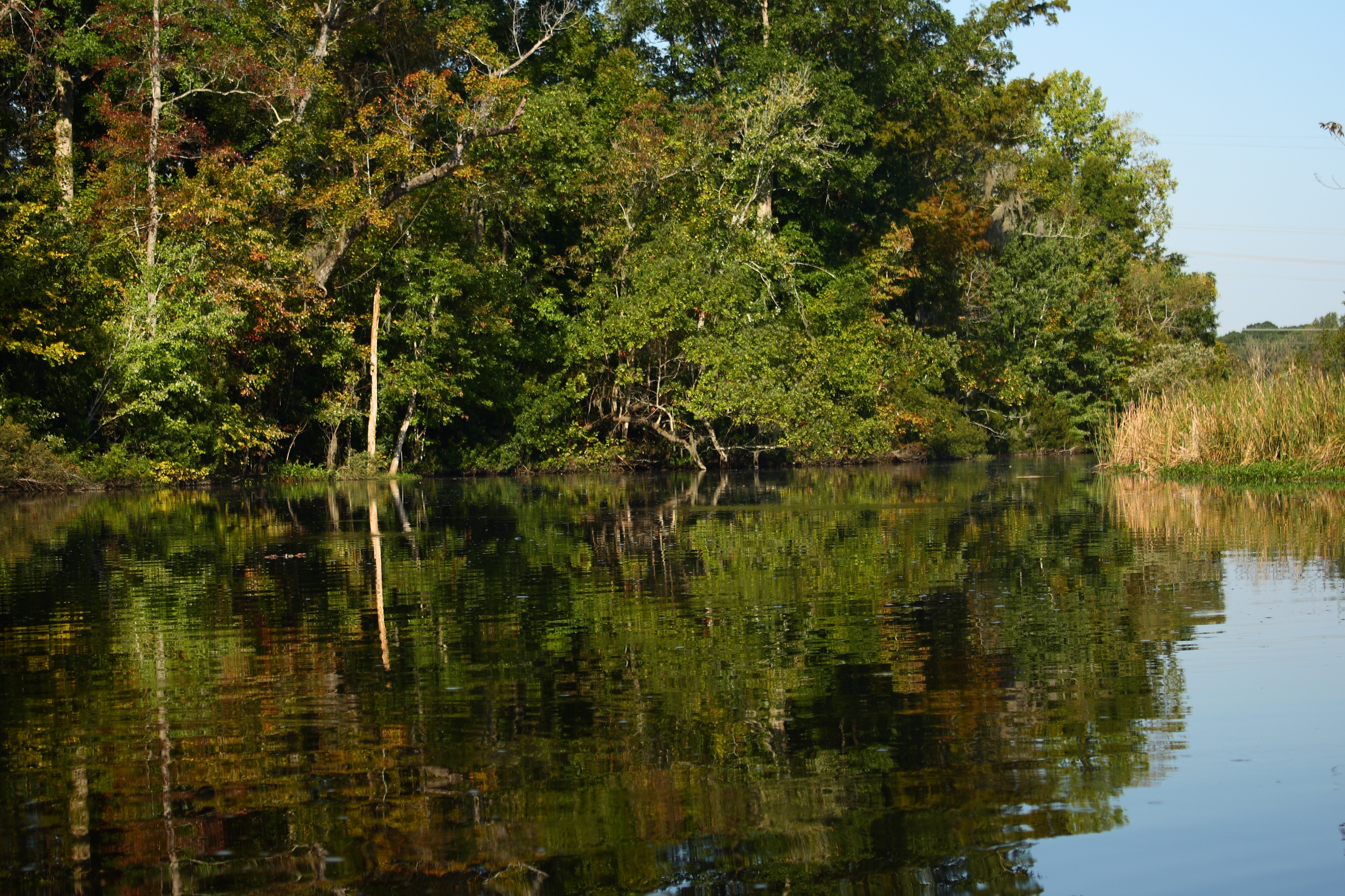
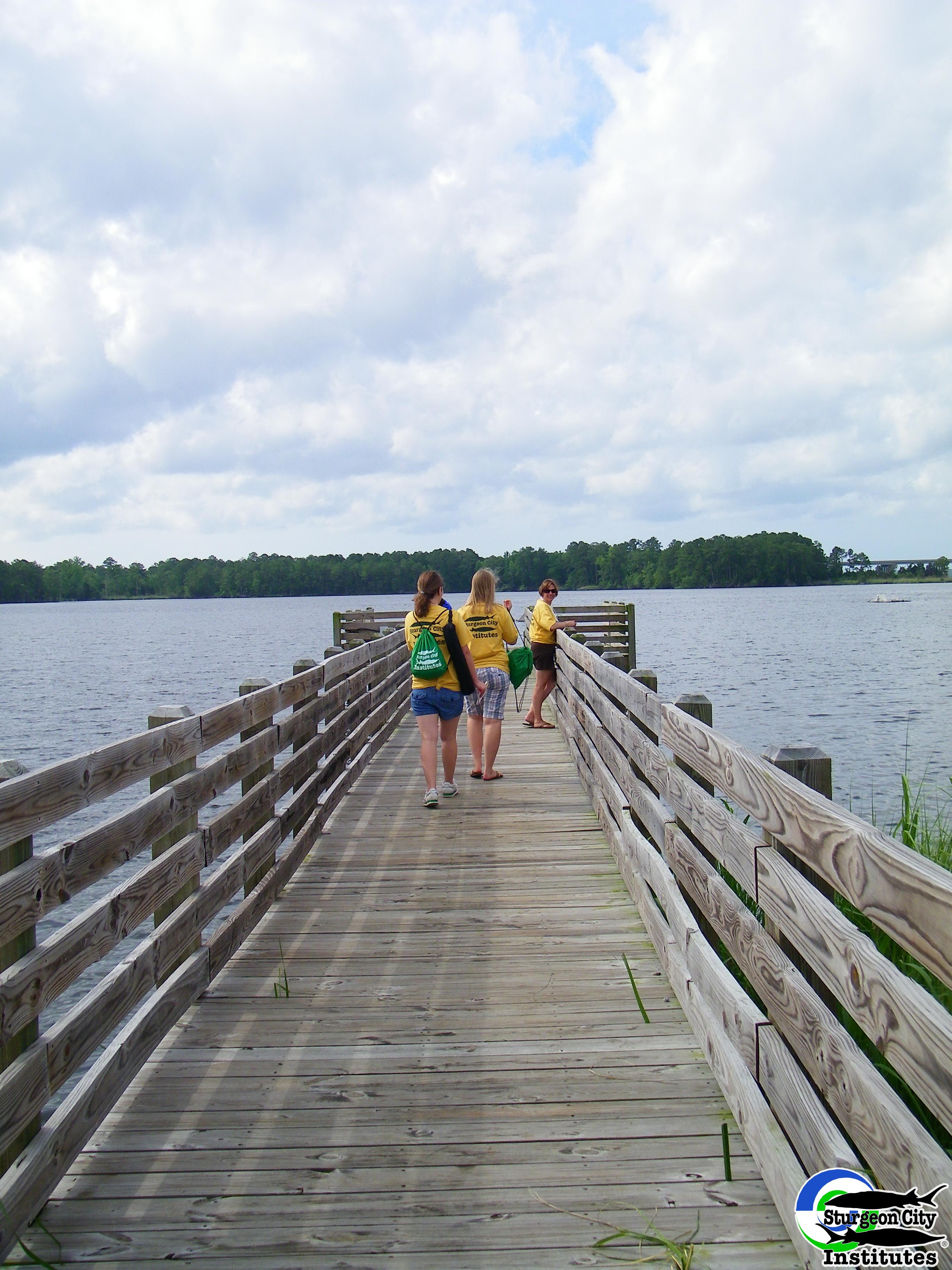
Dock at New River
Topographic Map of Harris Creek Rd, Jacksonville, NC, USA
Find elevation by address:

Places near Harris Creek Rd, Jacksonville, NC, USA:
115 Farmstead Place
208 Southern Dunes Dr
Haws Run Rd, Maple Hill, NC, USA
145 Louie Ln
517 Shelmore Ln
Foy Lockamy Road
William Gurganus Rd, Maple Hill, NC, USA
868 9 Mile Rd
2123 Neptune Ln
120 Vernon Shepard Ln
155 Silance Rd
153 Baymeade Ln
121 Arabian Ln
406 Old Stage Rd
1494 Murrill Hill Rd
317 Old Dam Rd
152 Brians Woods Rd
187 E Ridge Ct
187 E Ridge Ct
511 State Rd 1136
Recent Searches:
- Elevation of Tenjo, Cundinamarca, Colombia
- Elevation of Côte-des-Neiges, Montreal, QC H4A 3J6, Canada
- Elevation of Bobcat Dr, Helena, MT, USA
- Elevation of Zu den Ihlowbergen, Althüttendorf, Germany
- Elevation of Badaber, Peshawar, Khyber Pakhtunkhwa, Pakistan
- Elevation of SE Heron Loop, Lincoln City, OR, USA
- Elevation of Slanický ostrov, 01 Námestovo, Slovakia
- Elevation of Spaceport America, Co Rd A, Truth or Consequences, NM, USA
- Elevation of Warwick, RI, USA
- Elevation of Fern Rd, Whitmore, CA, USA