Elevation of Haws Run Rd, Maple Hill, NC, USA
Location: United States > North Carolina > Onslow County > Stump Sound >
Longitude: -77.552778
Latitude: 34.694645
Elevation: 17m / 56feet
Barometric Pressure: 101KPa
Elevation Map:
Satellite Map:
Related Photos:

Canadian Goldenrod

Sewel Bridge Sunset
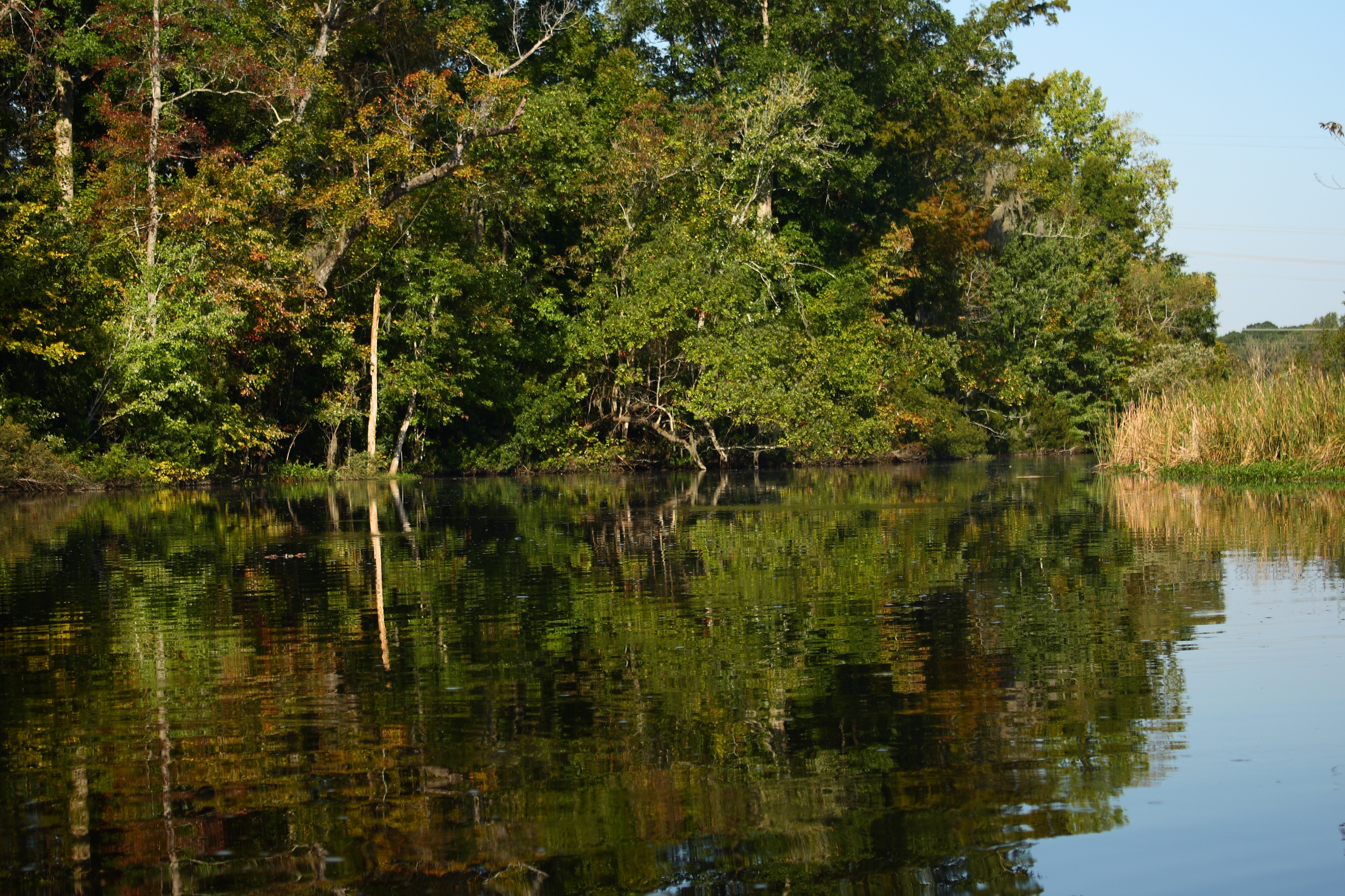
The Views

New River Sunrise
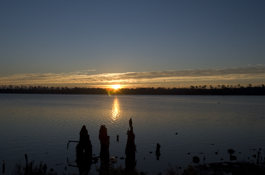
New River Sunrise

"Milly, what color's the sky?" "It's pink and sissy blue."
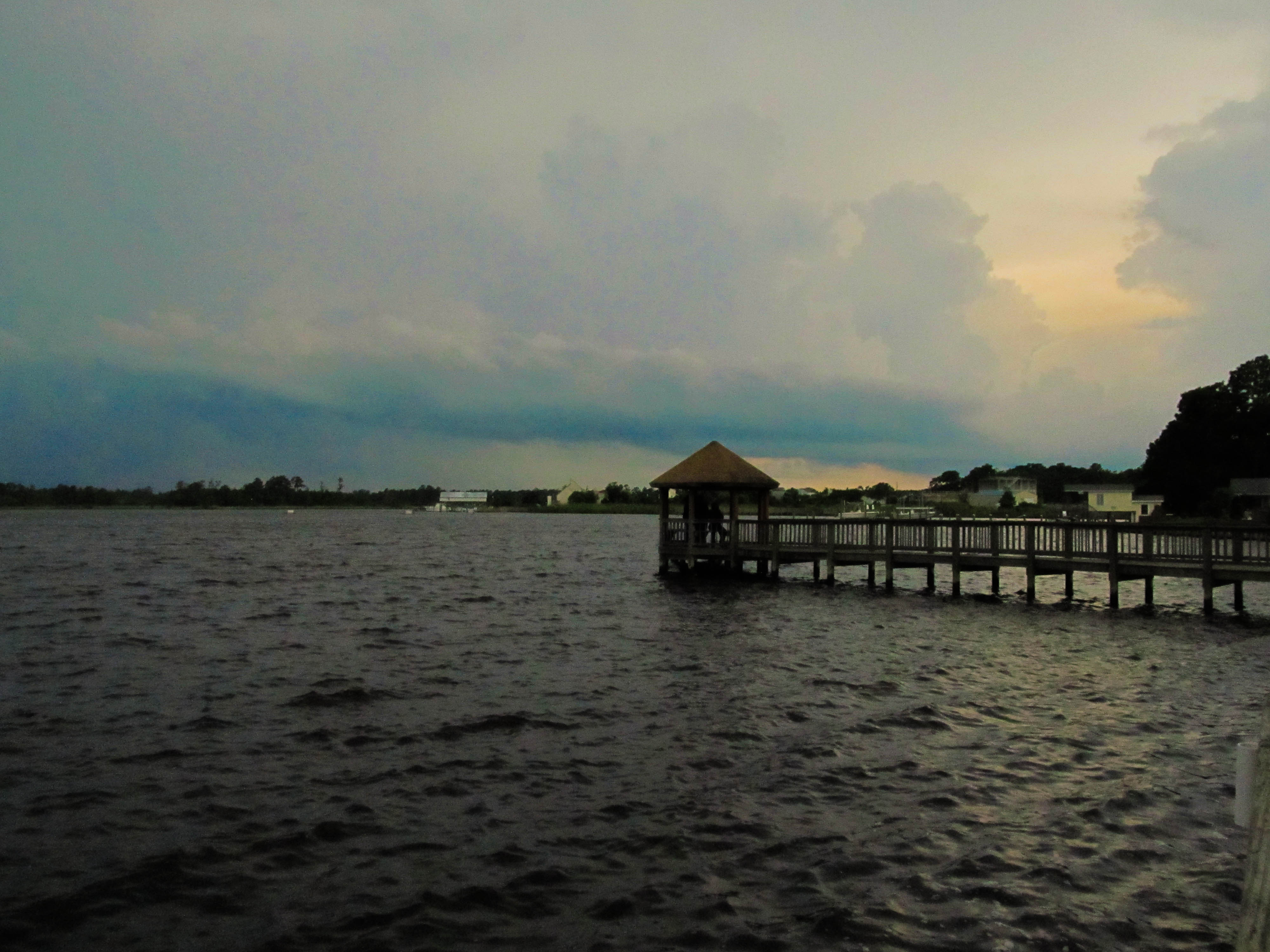
Wilson Bay Gazebo
Media-09-3Wed-0105 050

Media-09-3Wed-0110 036

Media-09-3Wed-1020 002
I Love Carolina Skies

Media-09-3Wed-1020 019
Oak Hurst
What is wrong with this picture?

Media-09-3Wed-0100 166

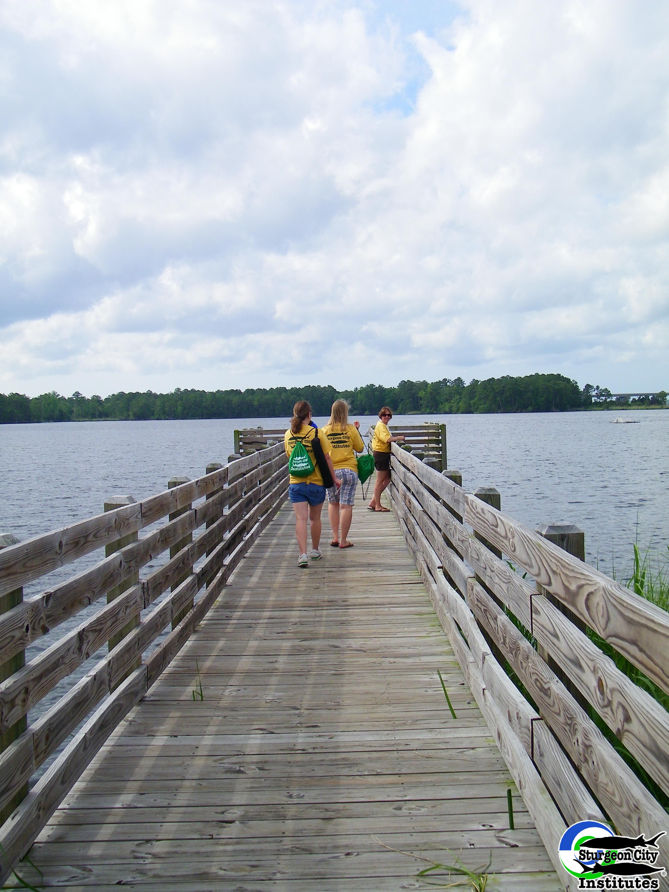
Dock at New River
Jacksonville, NC
Topographic Map of Haws Run Rd, Maple Hill, NC, USA
Find elevation by address:

Places near Haws Run Rd, Maple Hill, NC, USA:
145 Louie Ln
Harris Creek Rd, Jacksonville, NC, USA
317 Old Dam Rd
115 Farmstead Place
187 E Ridge Ct
187 E Ridge Ct
120 Vernon Shepard Ln
380 Mills Ct
208 Southern Dunes Dr
2123 Neptune Ln
155 Silance Rd
Foy Lockamy Road
1494 Murrill Hill Rd
517 Shelmore Ln
511 State Rd 1136
273 Verona Rd
405 Maplehurst Dr
9 Lisa Ct
William Gurganus Rd, Maple Hill, NC, USA
302 Forbes Ln
Recent Searches:
- Elevation of 7 Waterfall Way, Tomball, TX, USA
- Elevation of SW 57th Ave, Portland, OR, USA
- Elevation of Crocker Dr, Vacaville, CA, USA
- Elevation of Pu Ngaol Community Meeting Hall, HWHM+3X7, Krong Saen Monourom, Cambodia
- Elevation of Royal Ontario Museum, Queens Park, Toronto, ON M5S 2C6, Canada
- Elevation of Groblershoop, South Africa
- Elevation of Power Generation Enterprises | Industrial Diesel Generators, Oak Ave, Canyon Country, CA, USA
- Elevation of Chesaw Rd, Oroville, WA, USA
- Elevation of N, Mt Pleasant, UT, USA
- Elevation of 6 Rue Jules Ferry, Beausoleil, France