Elevation of Maple Hill, NC, USA
Location: United States > North Carolina > Pender County > Holly >
Longitude: -77.696364
Latitude: 34.6612779
Elevation: 10m / 33feet
Barometric Pressure: 101KPa
Elevation Map:
Satellite Map:
Related Photos:

"Milly, what color's the sky?" "It's pink and sissy blue."

Shelter Creek
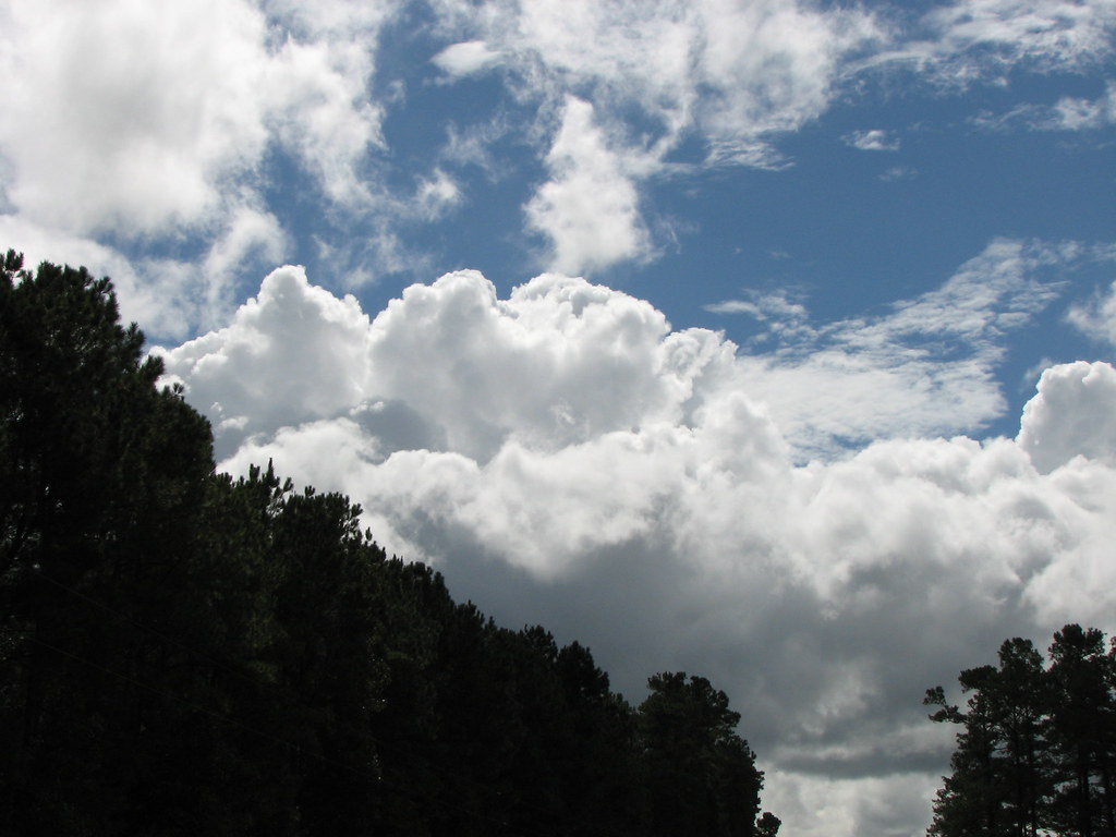
I Love Carolina Skies

Over North Carolina

North Carolina Coastline

Southern snacking
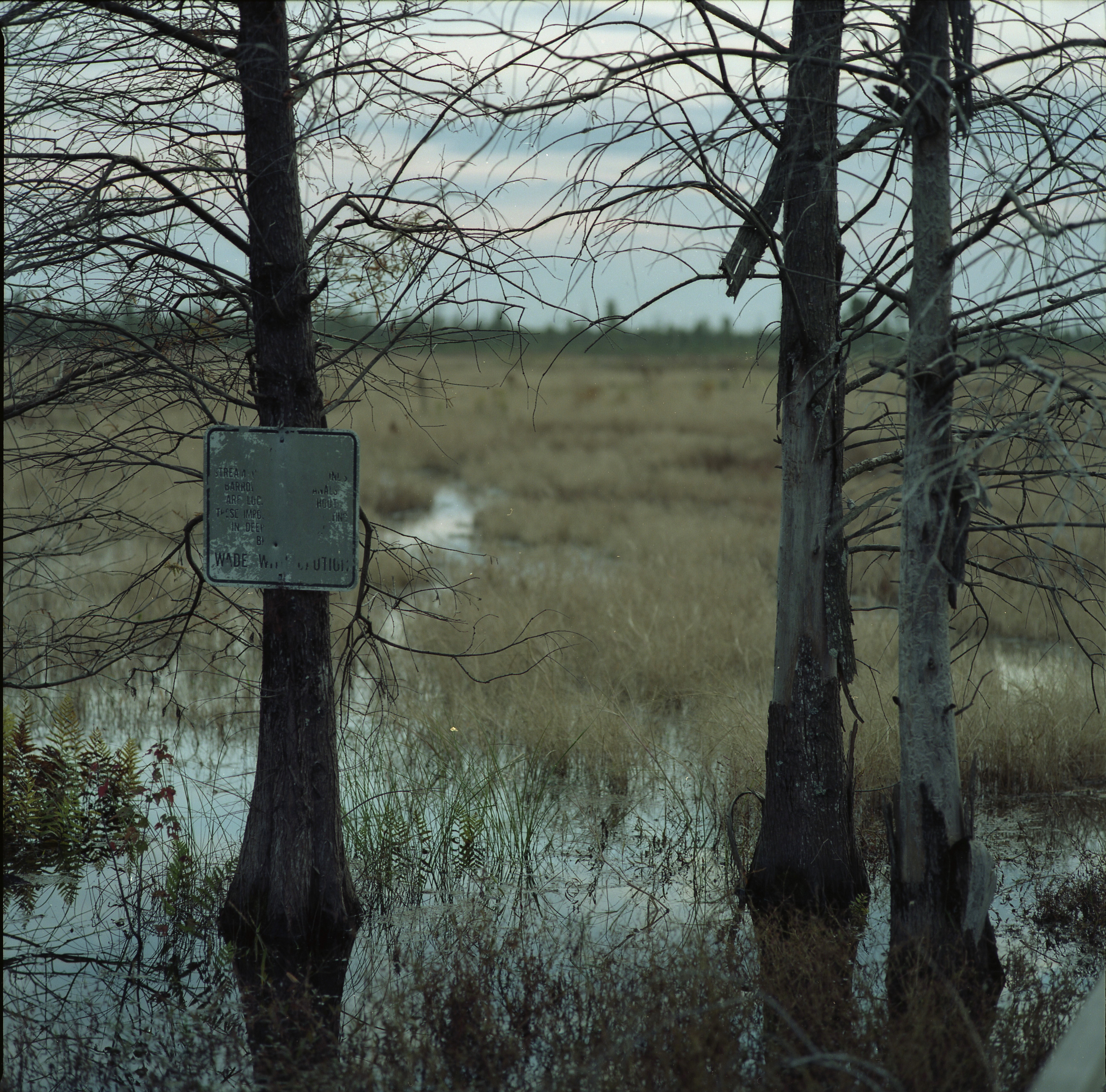
Wade With Caution

I paid how much for this dress

Oh DAD U bought this dress

WE CAN
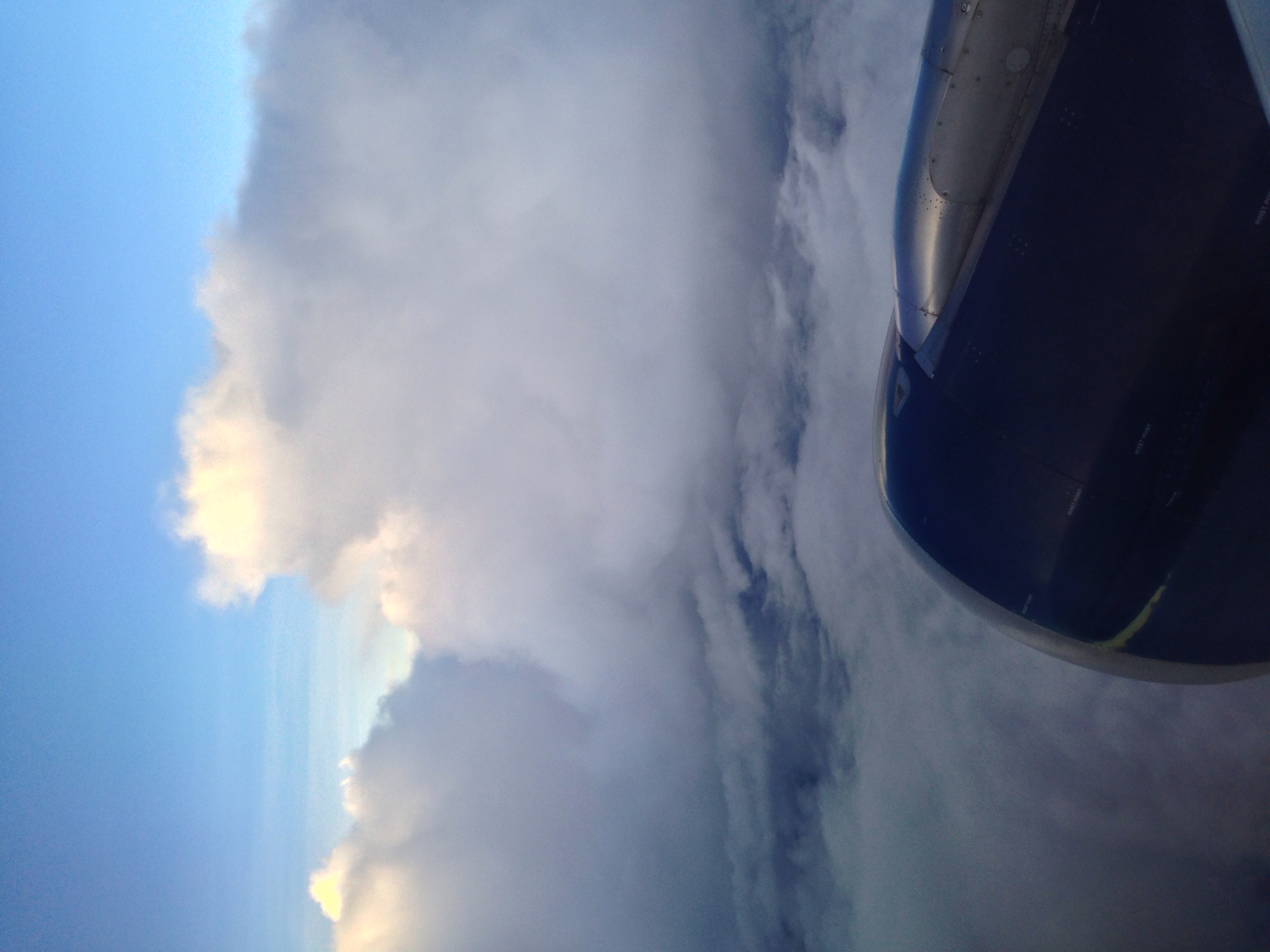
Flying above spring thunderstorms.
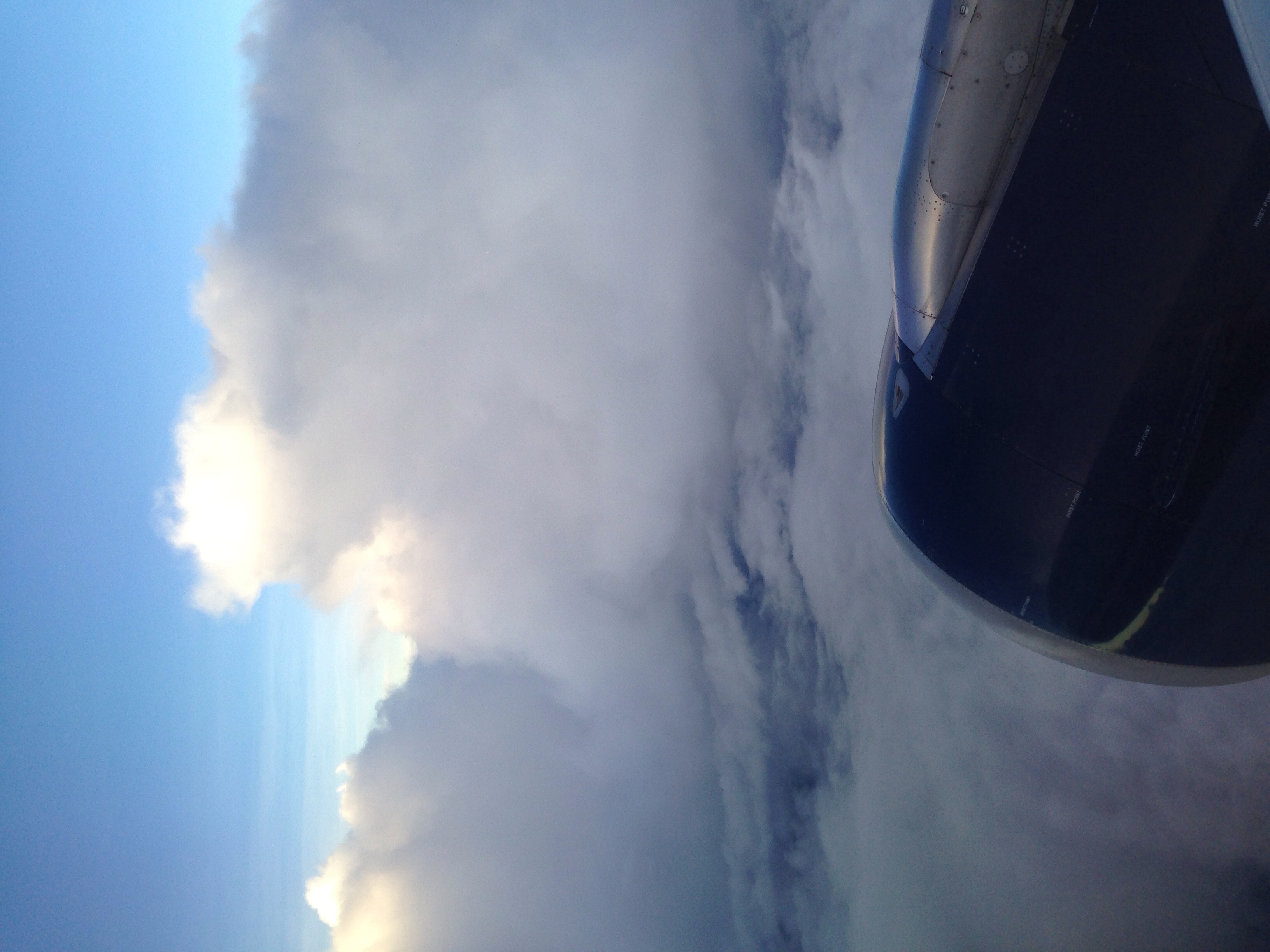
Flying above spring thunderstorms.
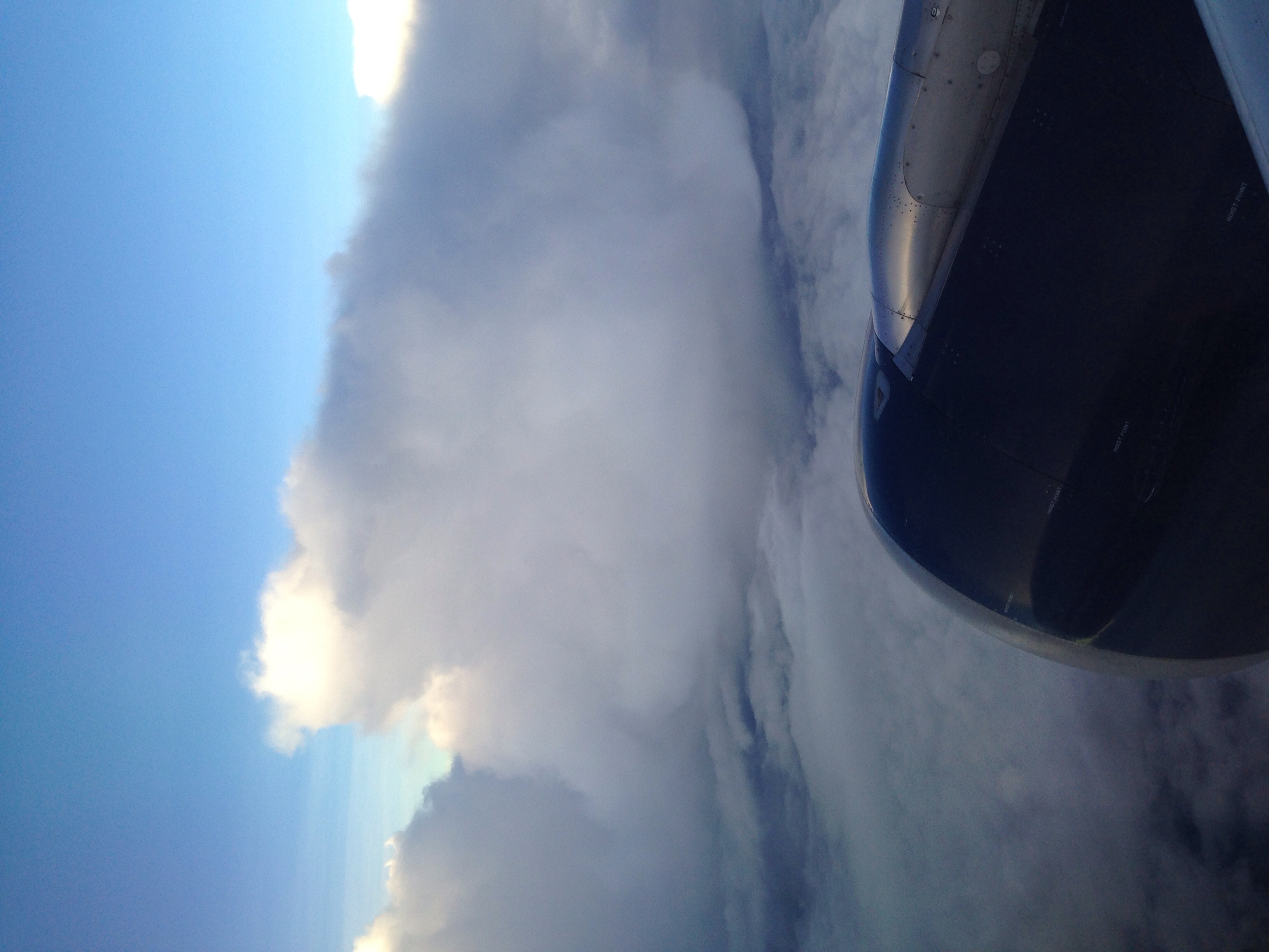
Flying above spring thunderstorms.

Flying above spring thunderstorms.

Flying above spring thunderstorms.

Hunting Trip
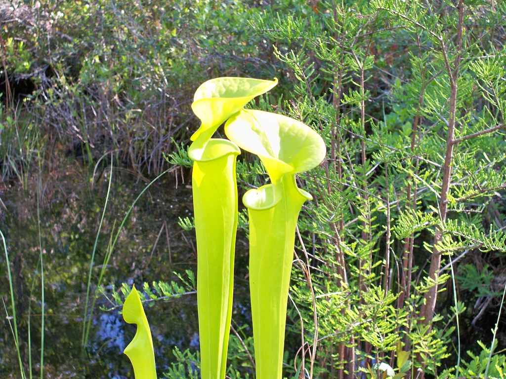
fly trap 1
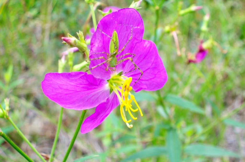
spider and flower

Shelter Creek

Launching on Shelter Creek
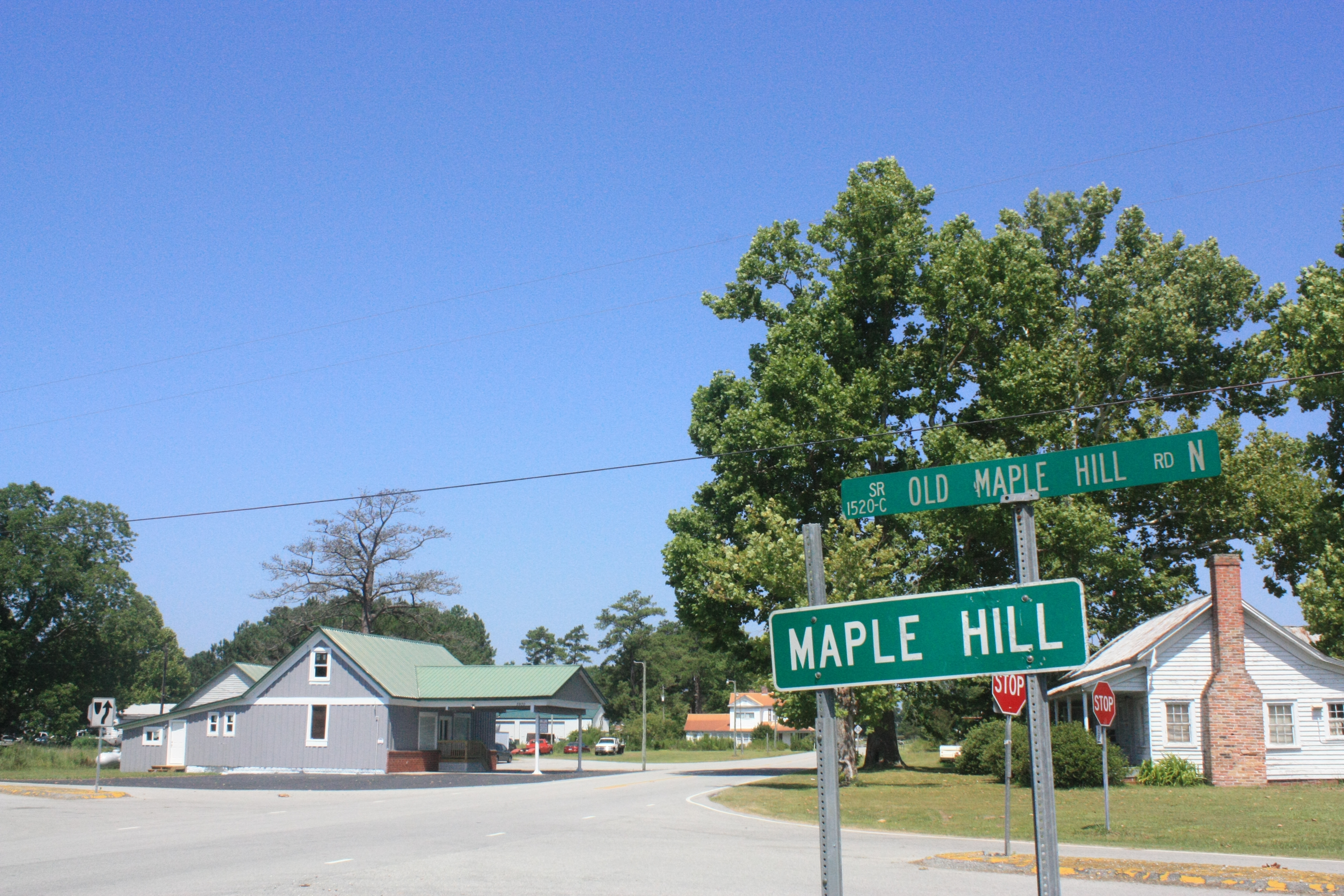
Maple Hill

Gearing up
Topographic Map of Maple Hill, NC, USA
Find elevation by address:

Places in Maple Hill, NC, USA:
Places near Maple Hill, NC, USA:
5 State Rd 1520
1 State Rd 1520
Holly
Pin Hook
Cypress Creek
3371 Croomsbridge Rd
Deep Bottom Rd, Wallace, NC, USA
Stokestown Road
1274 Croomsbridge Rd
4174 Nc-41
2071 Camp Kirkwood Rd
180 Red Berry Dr
Cedar Point Drive
102 Cedar Ct
105 Cape Jasmine Ln
111 Cape Jasmine Ln
Cape Jasmine Lane
136 Cape Jasmine Ln
311 Red Fox Run Dr
147 Cape Jasmine Ln
Recent Searches:
- Elevation of Corso Fratelli Cairoli, 35, Macerata MC, Italy
- Elevation of Tallevast Rd, Sarasota, FL, USA
- Elevation of 4th St E, Sonoma, CA, USA
- Elevation of Black Hollow Rd, Pennsdale, PA, USA
- Elevation of Oakland Ave, Williamsport, PA, USA
- Elevation of Pedrógão Grande, Portugal
- Elevation of Klee Dr, Martinsburg, WV, USA
- Elevation of Via Roma, Pieranica CR, Italy
- Elevation of Tavkvetili Mountain, Georgia
- Elevation of Hartfords Bluff Cir, Mt Pleasant, SC, USA