Elevation of 5 State Rd, Maple Hill, NC, USA
Location: United States > North Carolina > Pender County > Holly > Maple Hill >
Longitude: -77.695739
Latitude: 34.6609642
Elevation: 10m / 33feet
Barometric Pressure: 101KPa
Elevation Map:
Satellite Map:
Related Photos:

"Milly, what color's the sky?" "It's pink and sissy blue."

Shelter Creek

Over North Carolina
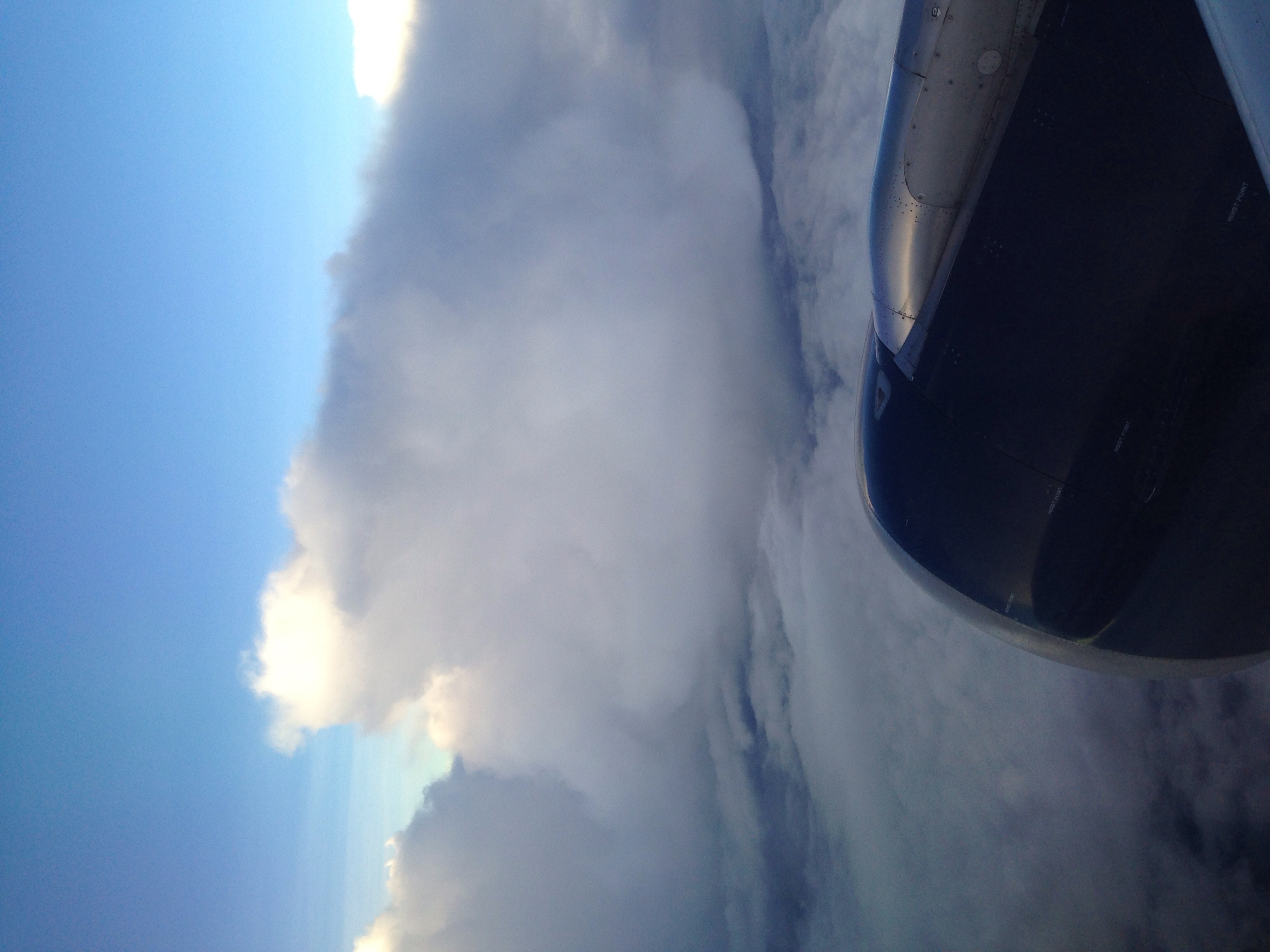
Flying above spring thunderstorms.

Trey birthday party

Trey birthday party

Baby Zoey

Baby Zoey

Baby Zoey

First day of second grade

First day of second grade

This car is good. Really good. #1LE #murica
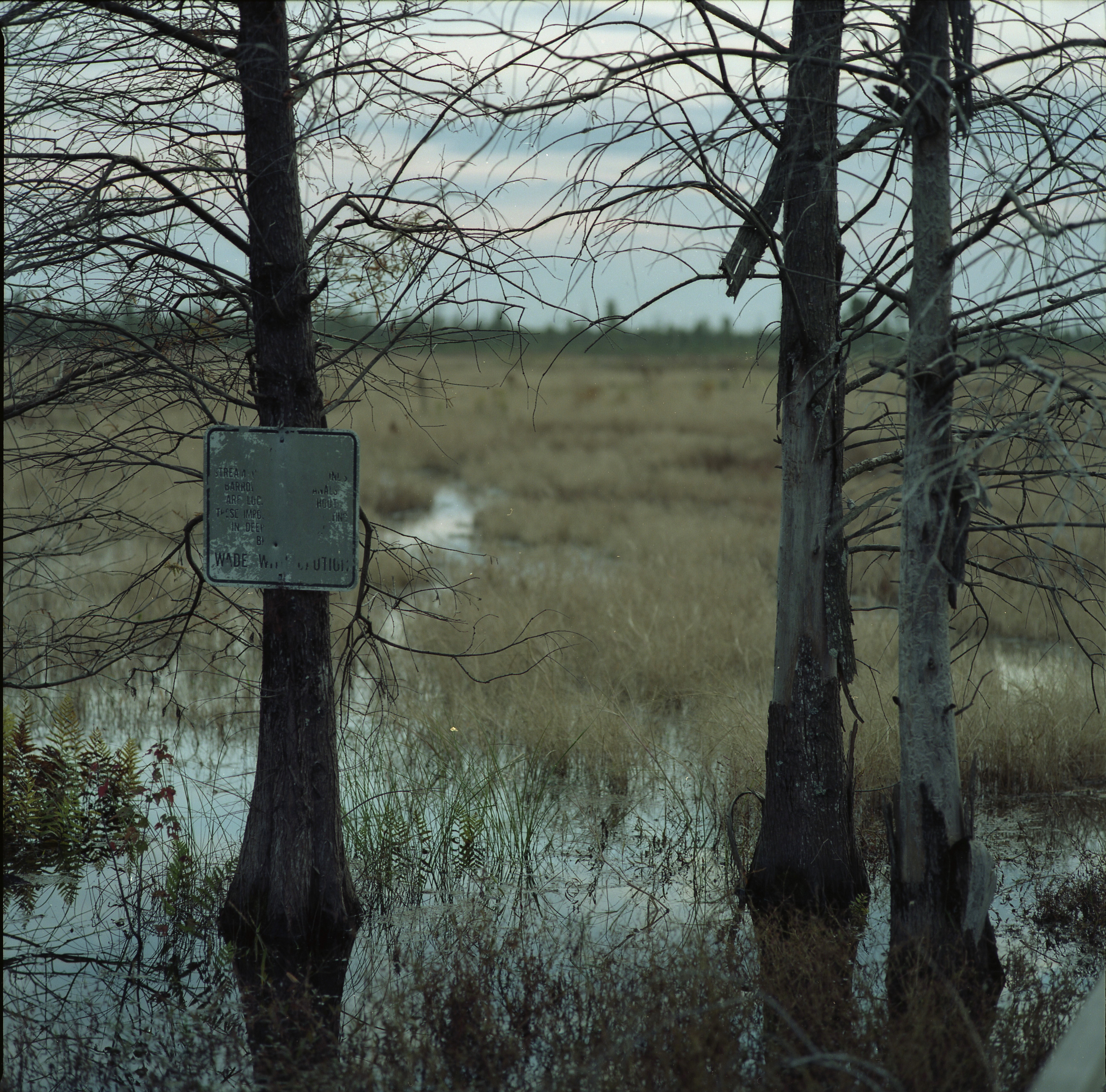
Wade With Caution

I paid how much for this dress

Oh DAD U bought this dress

Flying above spring thunderstorms.

Flying above spring thunderstorms.
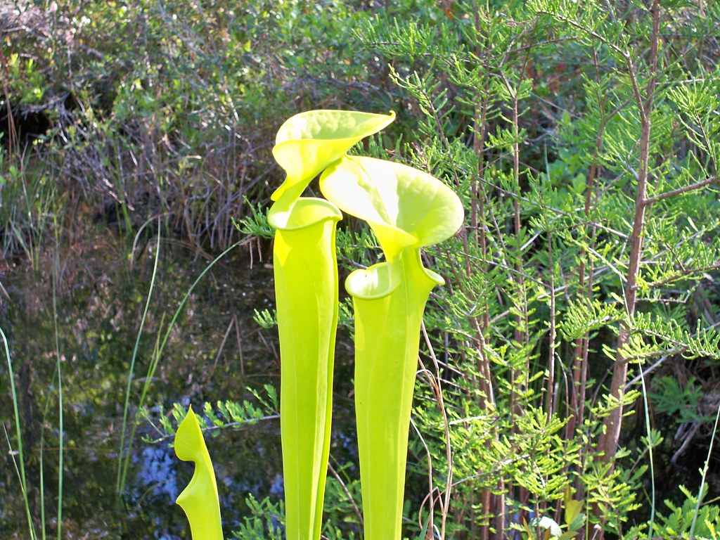
fly trap 1
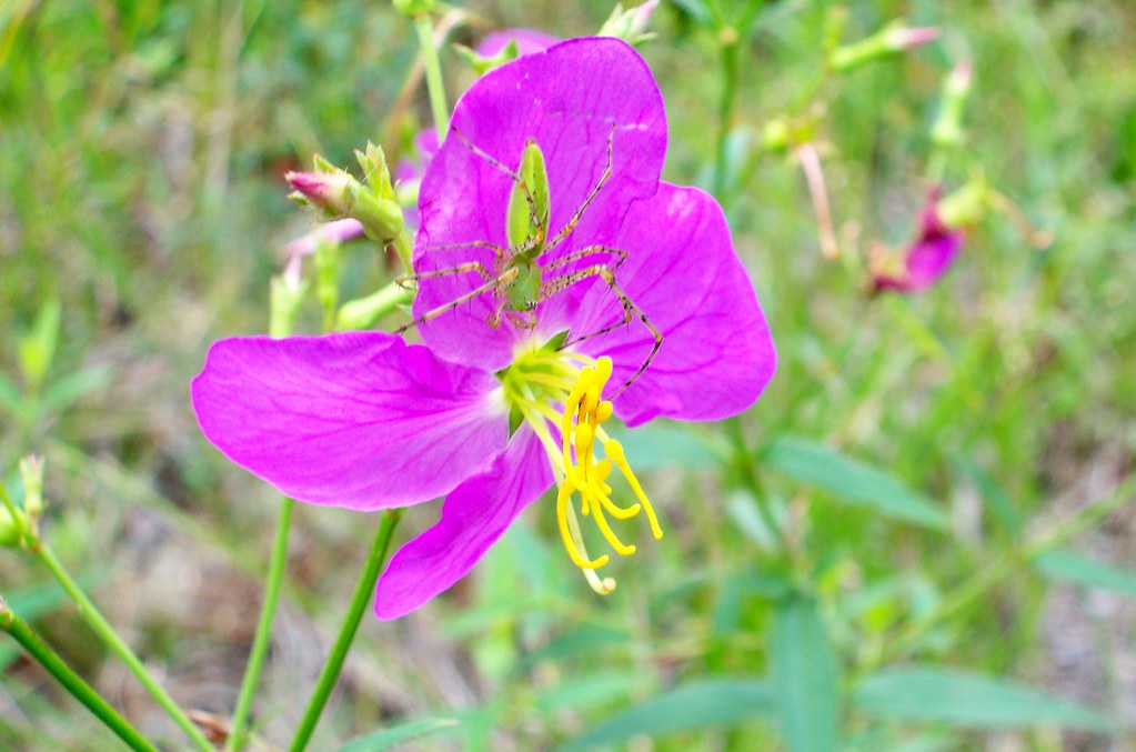
spider and flower

Shelter Creek

Gearing up
Topographic Map of 5 State Rd, Maple Hill, NC, USA
Find elevation by address:

Places near 5 State Rd, Maple Hill, NC, USA:
1 State Rd 1520
Maple Hill
Holly
Pin Hook
Cypress Creek
3371 Croomsbridge Rd
Deep Bottom Rd, Wallace, NC, USA
Stokestown Road
1274 Croomsbridge Rd
4174 Nc-41
2071 Camp Kirkwood Rd
180 Red Berry Dr
Cedar Point Drive
102 Cedar Ct
105 Cape Jasmine Ln
111 Cape Jasmine Ln
Cape Jasmine Lane
136 Cape Jasmine Ln
311 Red Fox Run Dr
147 Cape Jasmine Ln
Recent Searches:
- Elevation of 6 Rue Jules Ferry, Beausoleil, France
- Elevation of Sattva Horizon, 4JC6+G9P, Vinayak Nagar, Kattigenahalli, Bengaluru, Karnataka, India
- Elevation of Great Brook Sports, Gold Star Hwy, Groton, CT, USA
- Elevation of 10 Mountain Laurels Dr, Nashua, NH, USA
- Elevation of 16 Gilboa Ln, Nashua, NH, USA
- Elevation of Laurel Rd, Townsend, TN, USA
- Elevation of 3 Nestling Wood Dr, Long Valley, NJ, USA
- Elevation of Ilungu, Tanzania
- Elevation of Yellow Springs Road, Yellow Springs Rd, Chester Springs, PA, USA
- Elevation of Rēzekne Municipality, Latvia