Elevation of Wilderness Road State Park, Wilderness Rd Trail, Ewing, VA, USA
Location: United States > Virginia > Lee County > > Ewing >
Longitude: -83.525984
Latitude: 36.6305585
Elevation: 403m / 1322feet
Barometric Pressure: 97KPa
Elevation Map:
Satellite Map:
Related Photos:
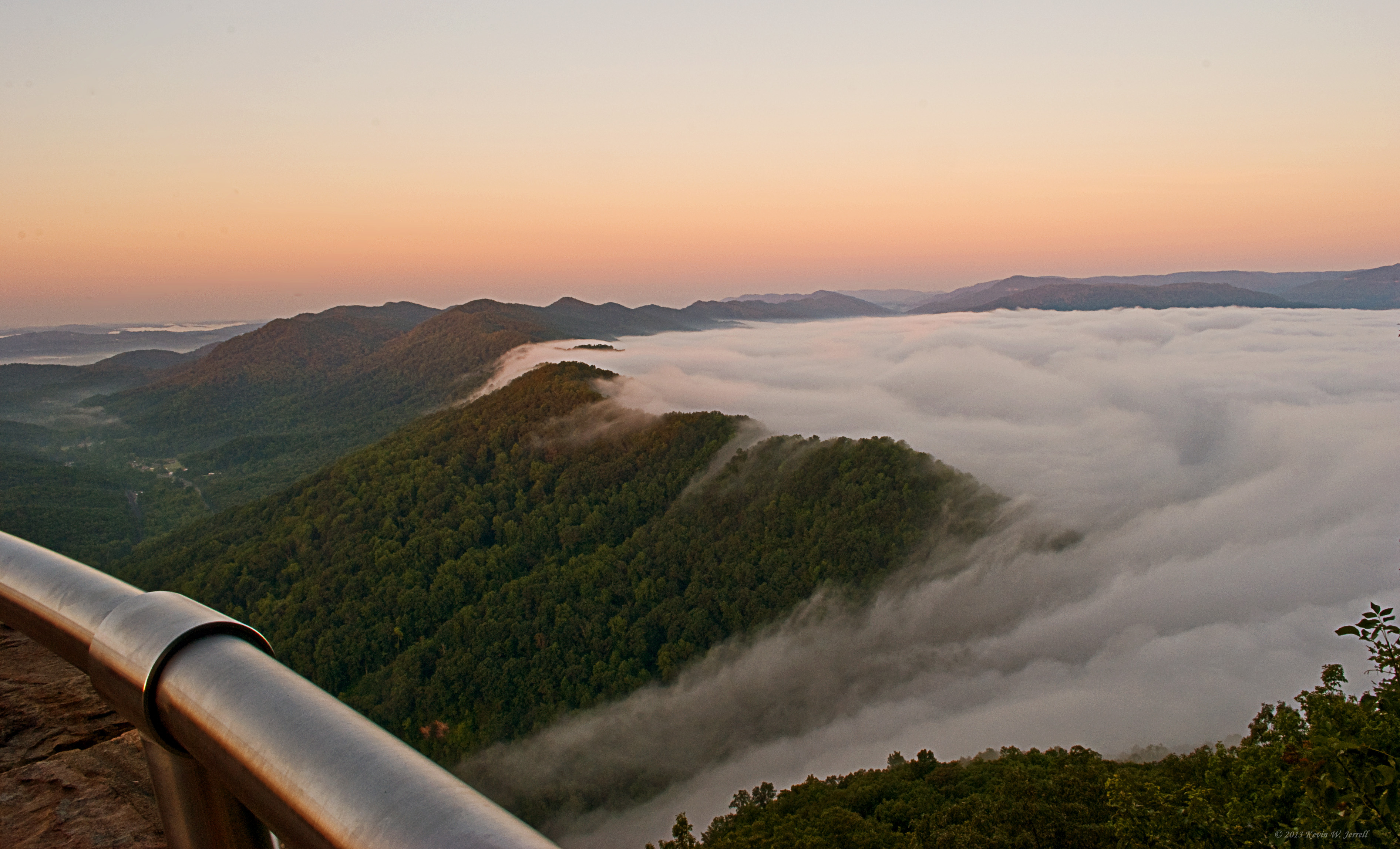
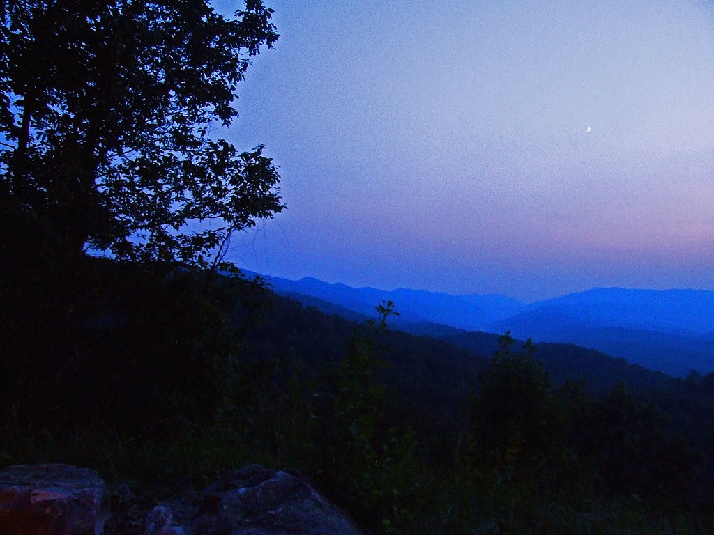
Bowl Full of Fog
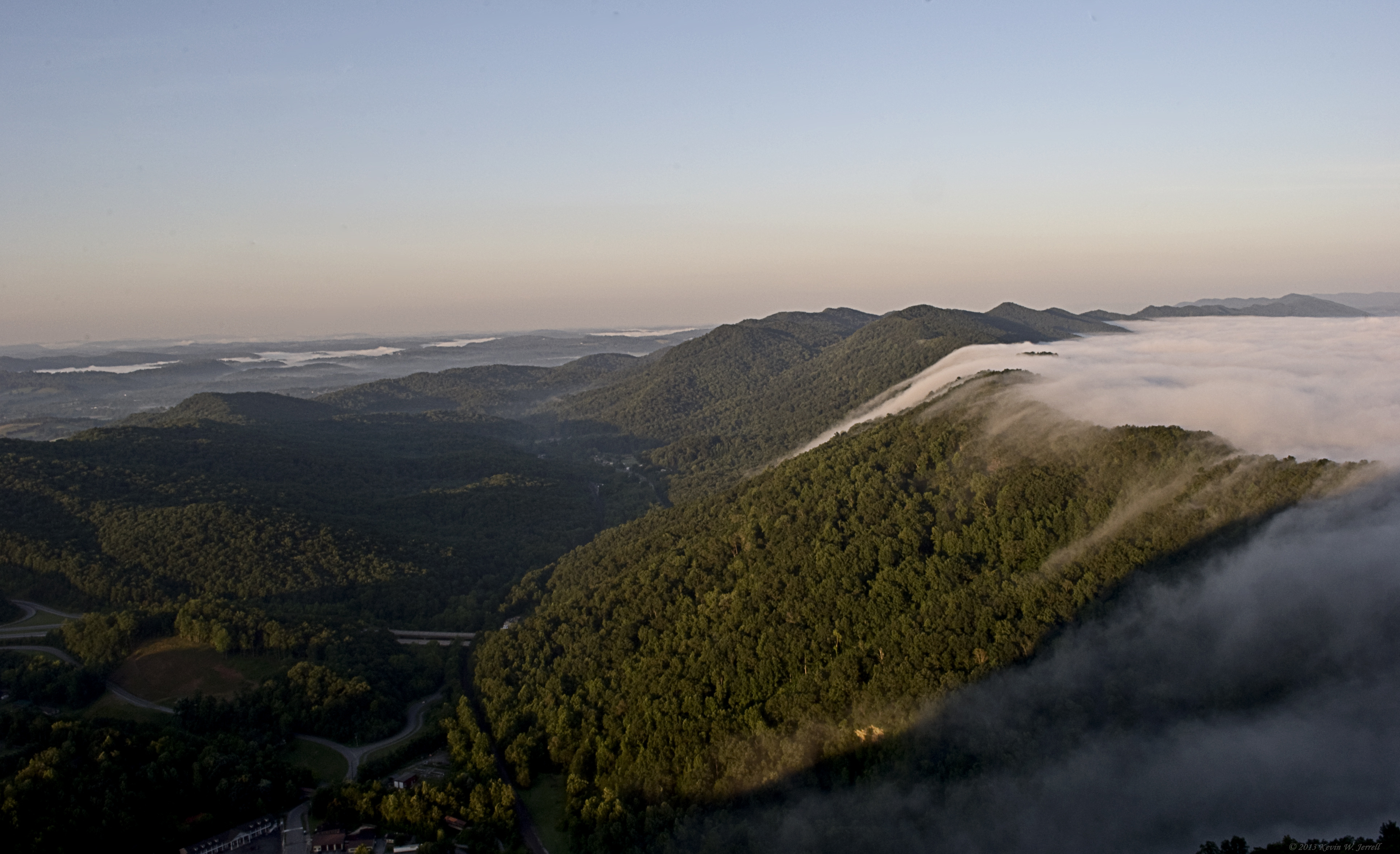
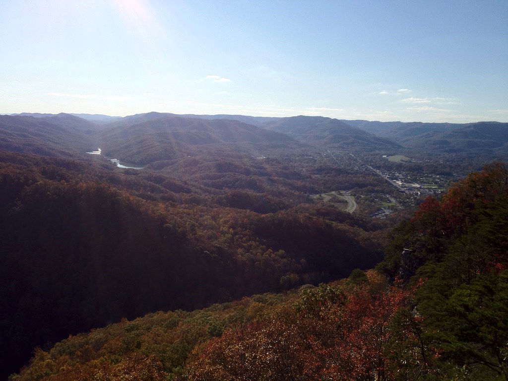
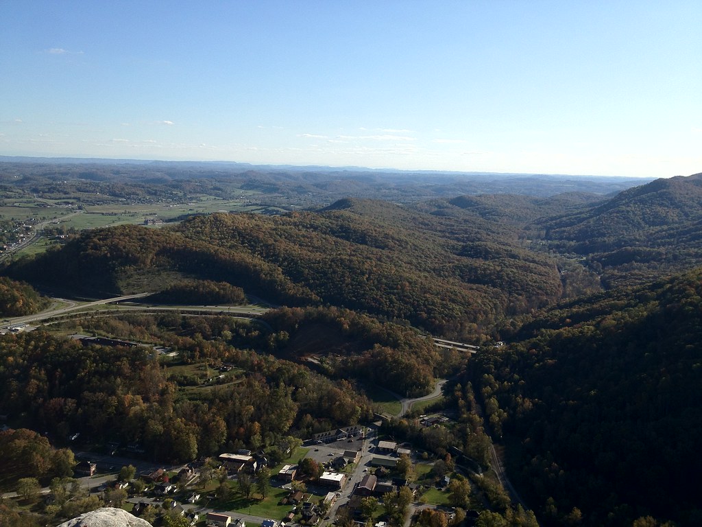
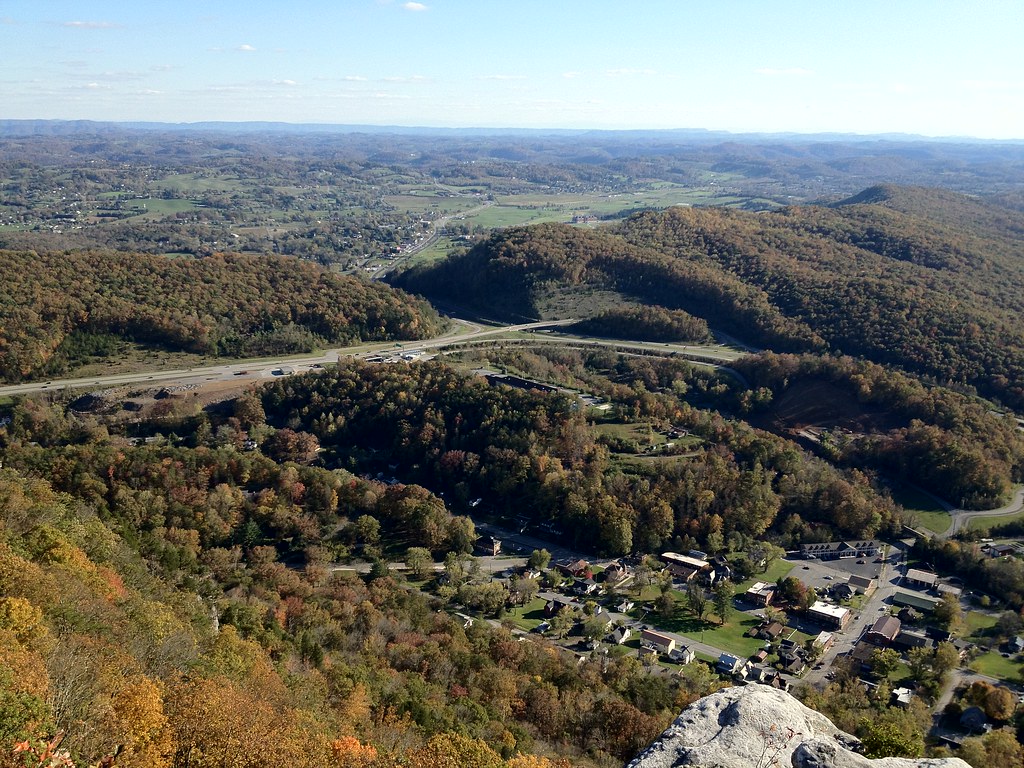
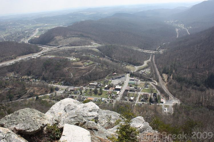
Pinnacle View
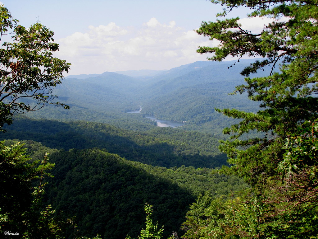
Virginia view
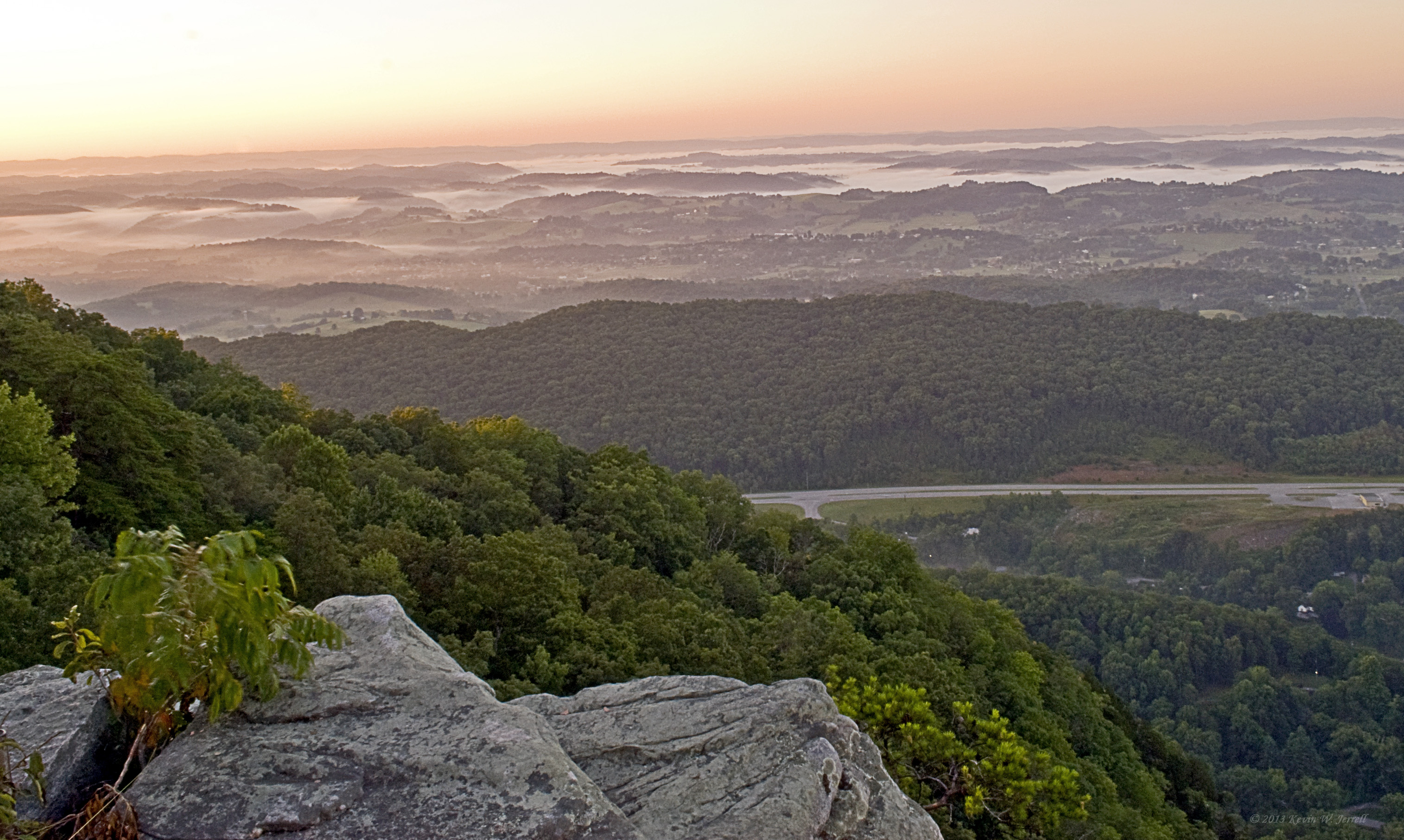
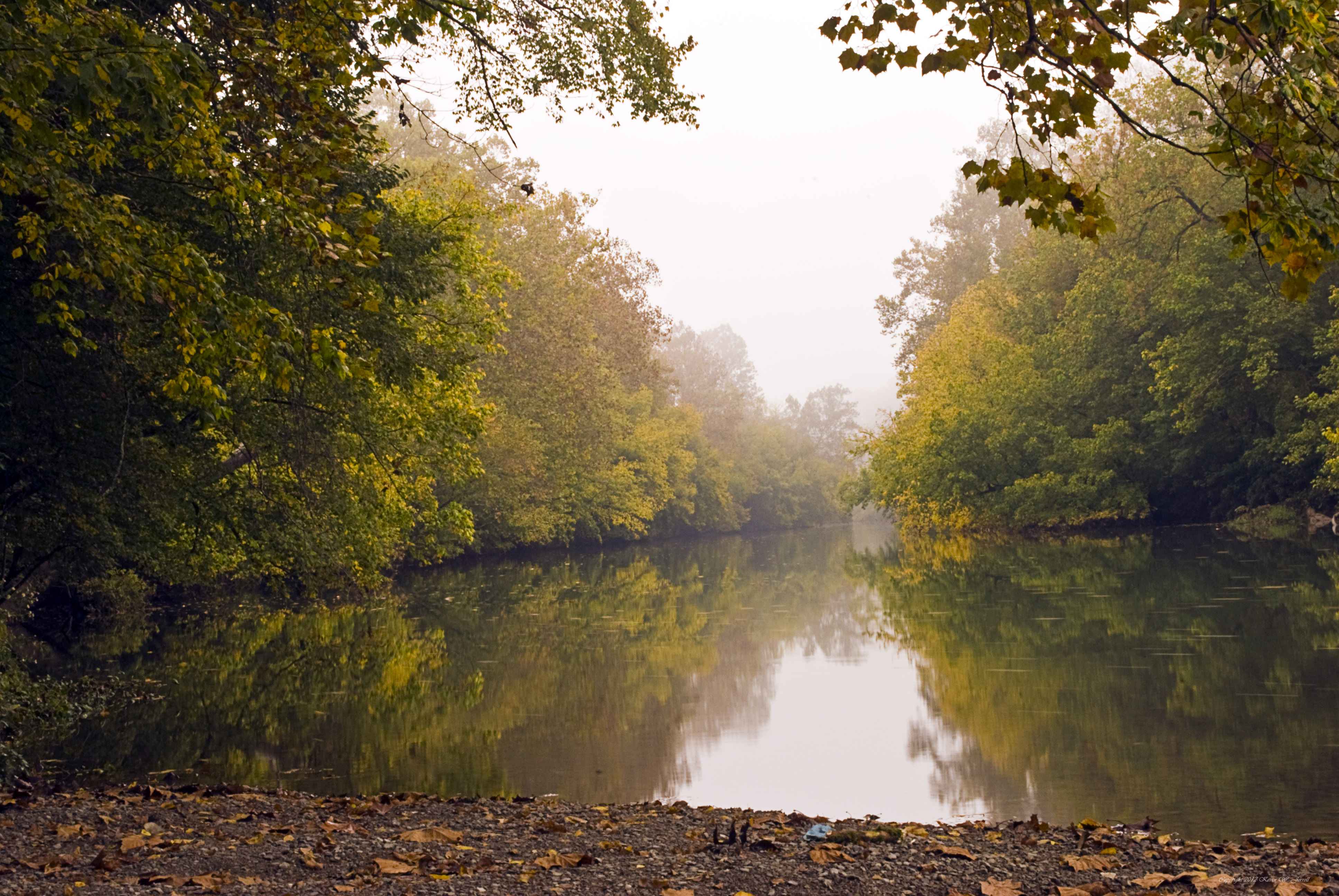
Fog in the Valley

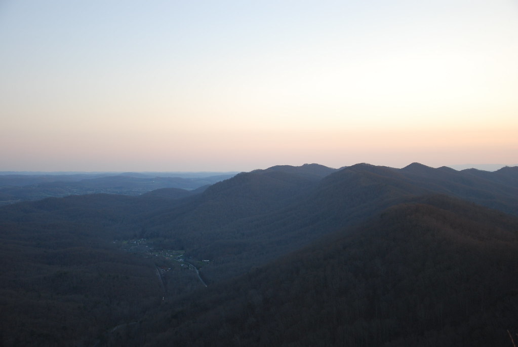
View From The Pinnacle V
The Cumberland Gap II
View up the Mountain.
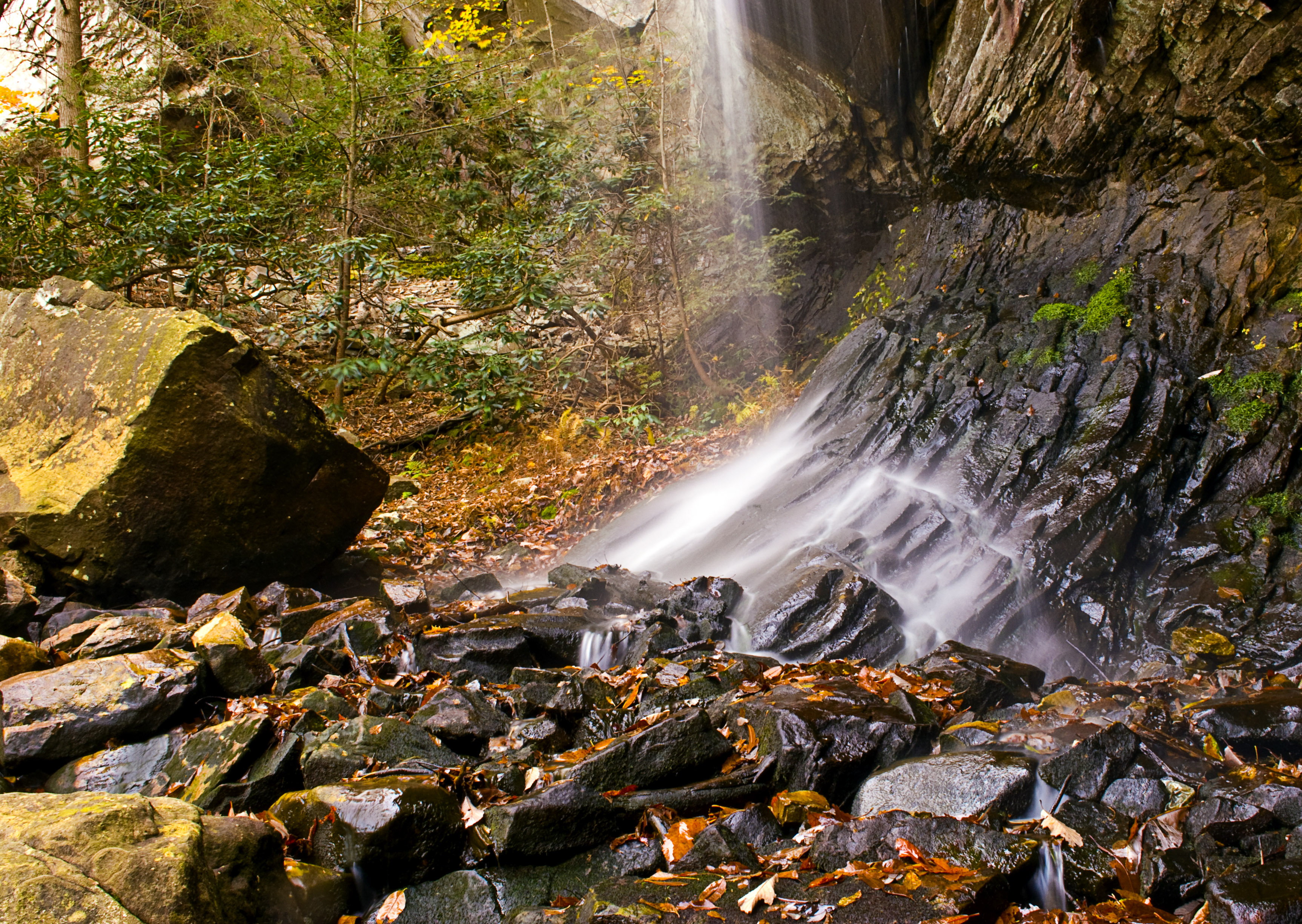
Light On the Rocks
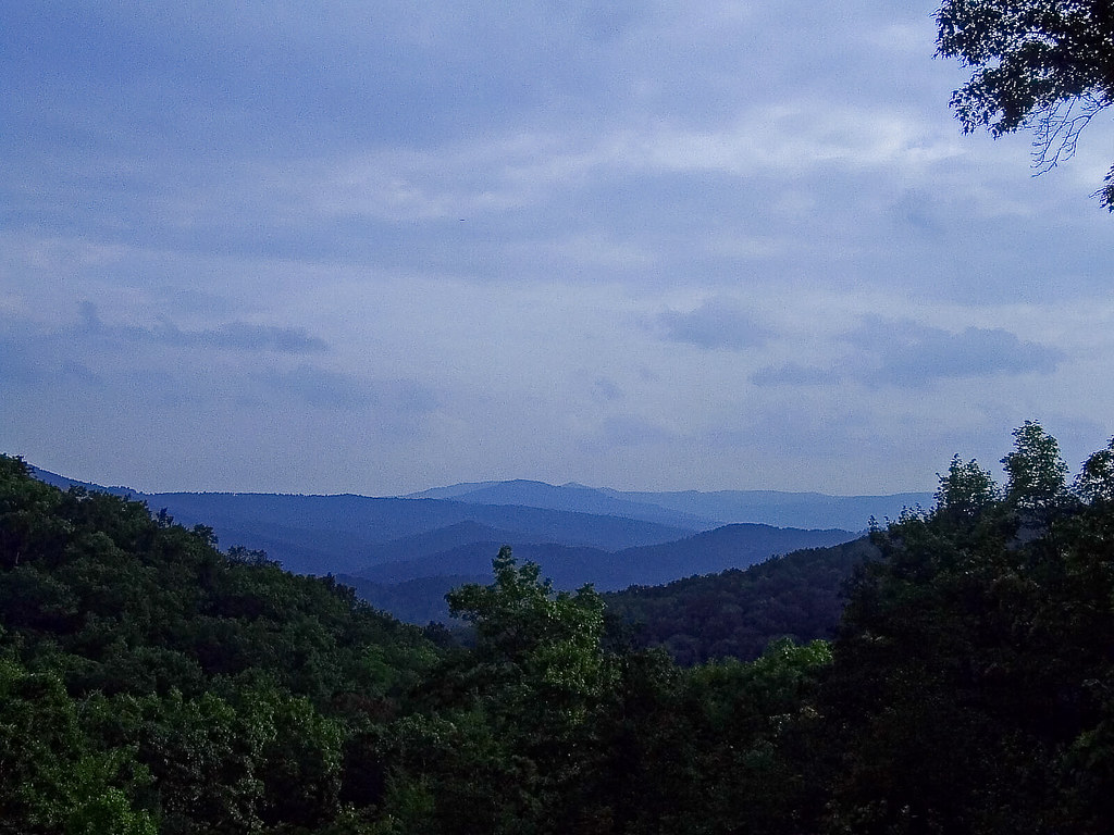
Mountains Of Kentucky I
Cumberland Gap National Park
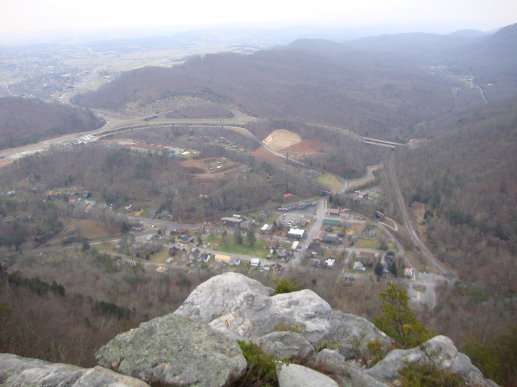
View of Cumberland Gap, Tennessee (Lee County, Virginia)
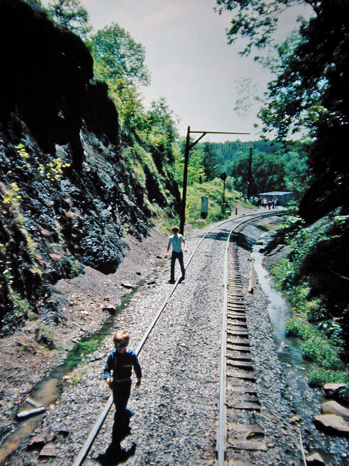
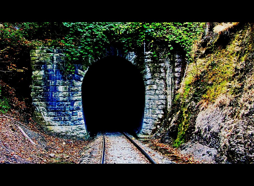
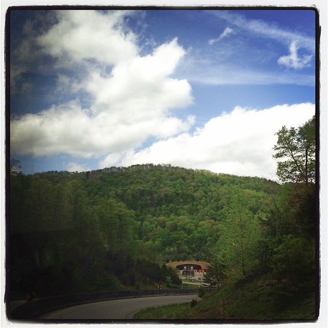
View from Cumberland Gap Tunnel
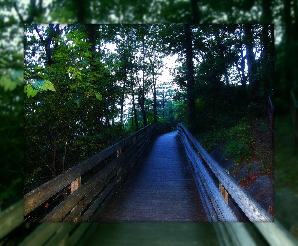
Walkway To The Look Out
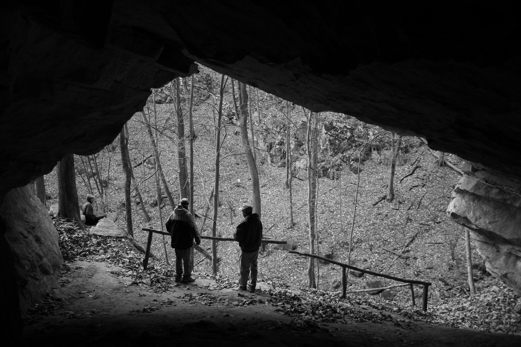
Entrance Skylight Cave
The Cumberland Gap I
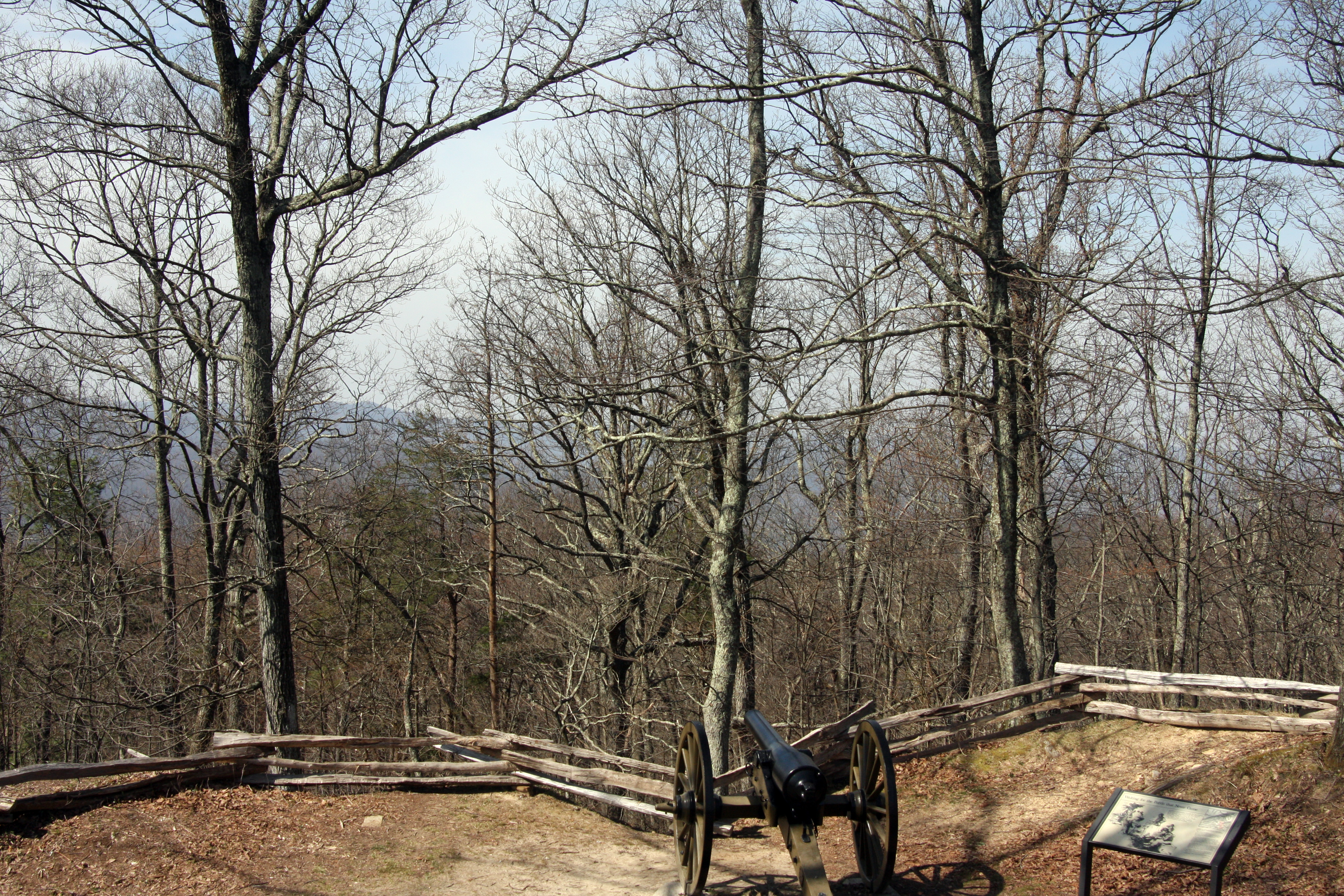
Hold the Line
Cumberland Gap National Park
Cumberland Gap National Park
*
Views from Pinnacle Overlook
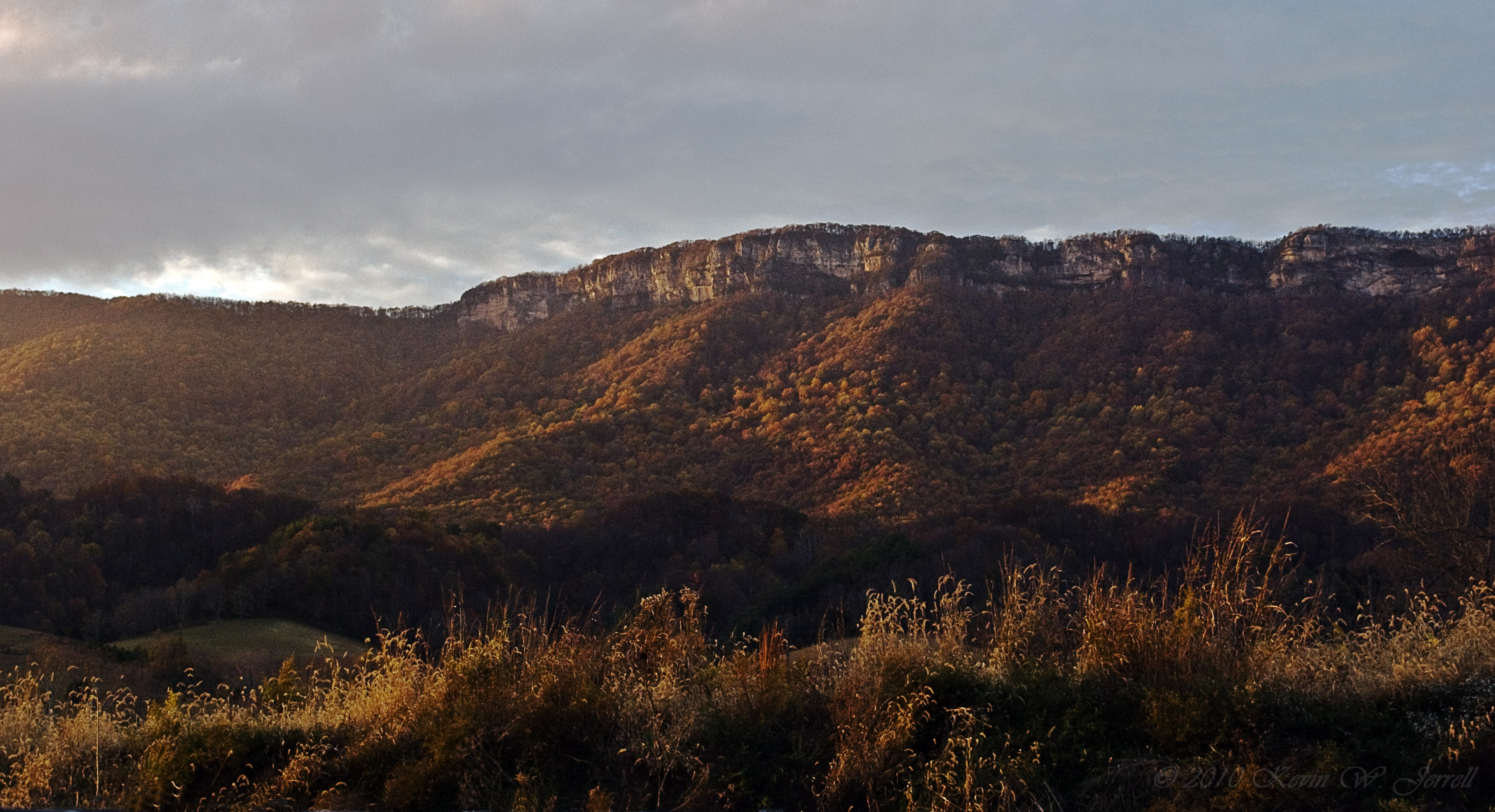
MORNING LIGHT AND SHADOW
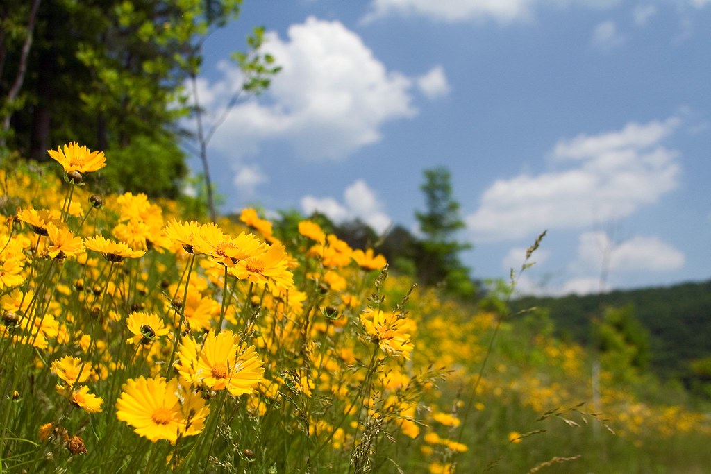
A Hillside of Yellow
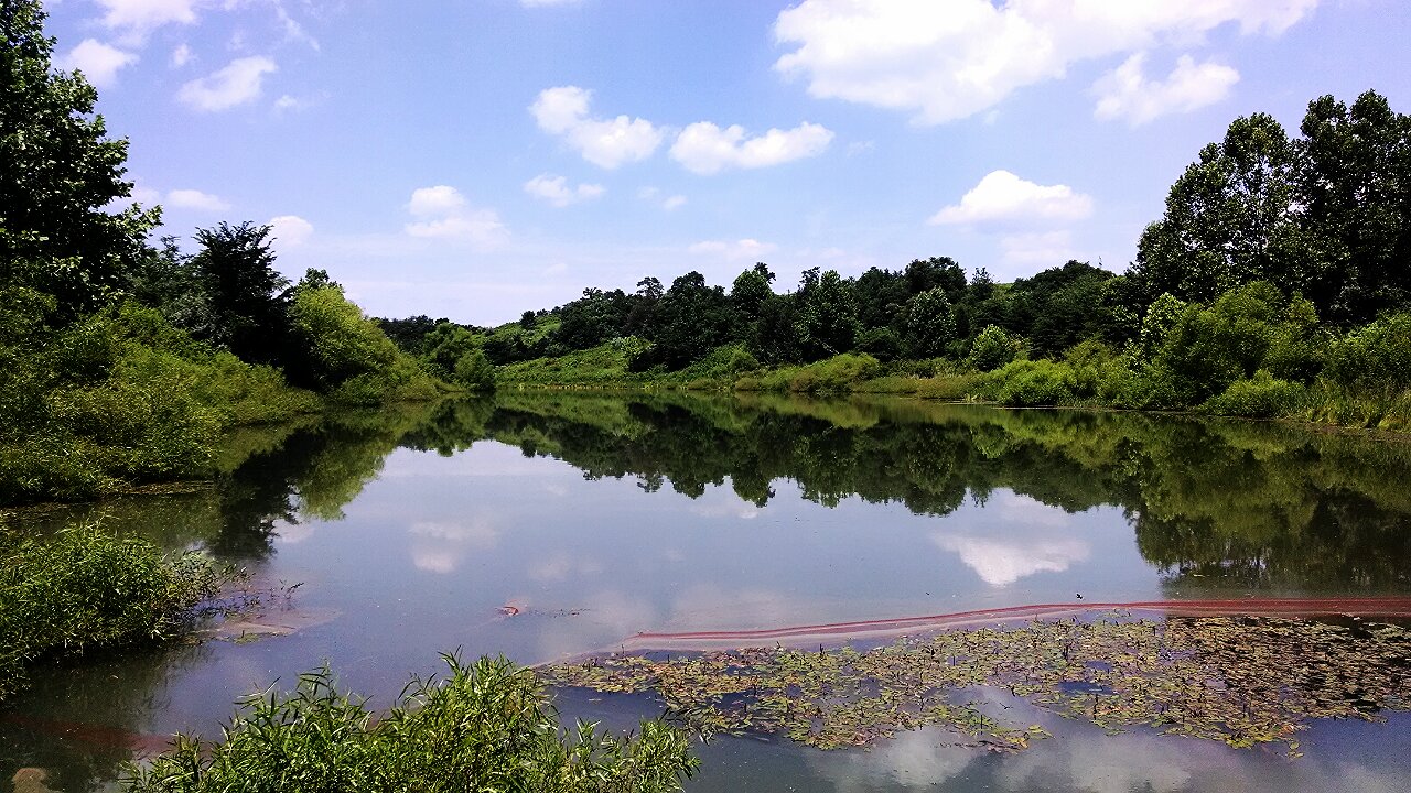
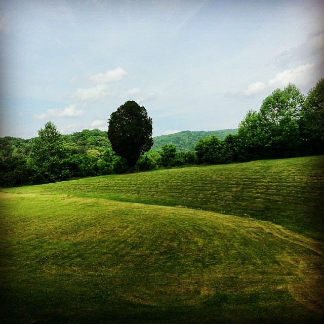
Mountain Drive Pond
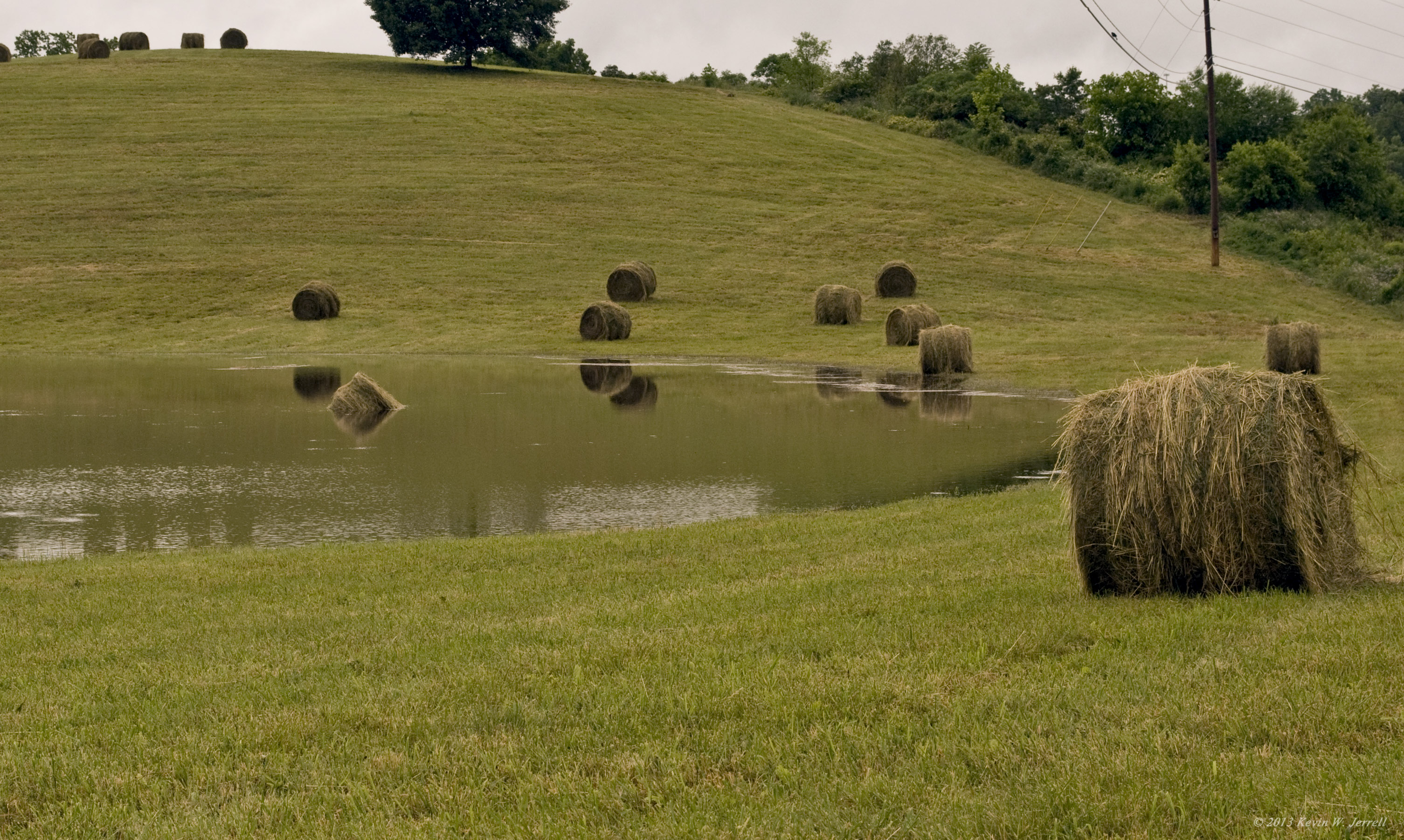
Drowned Hay
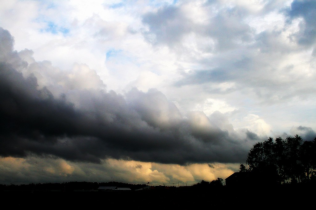
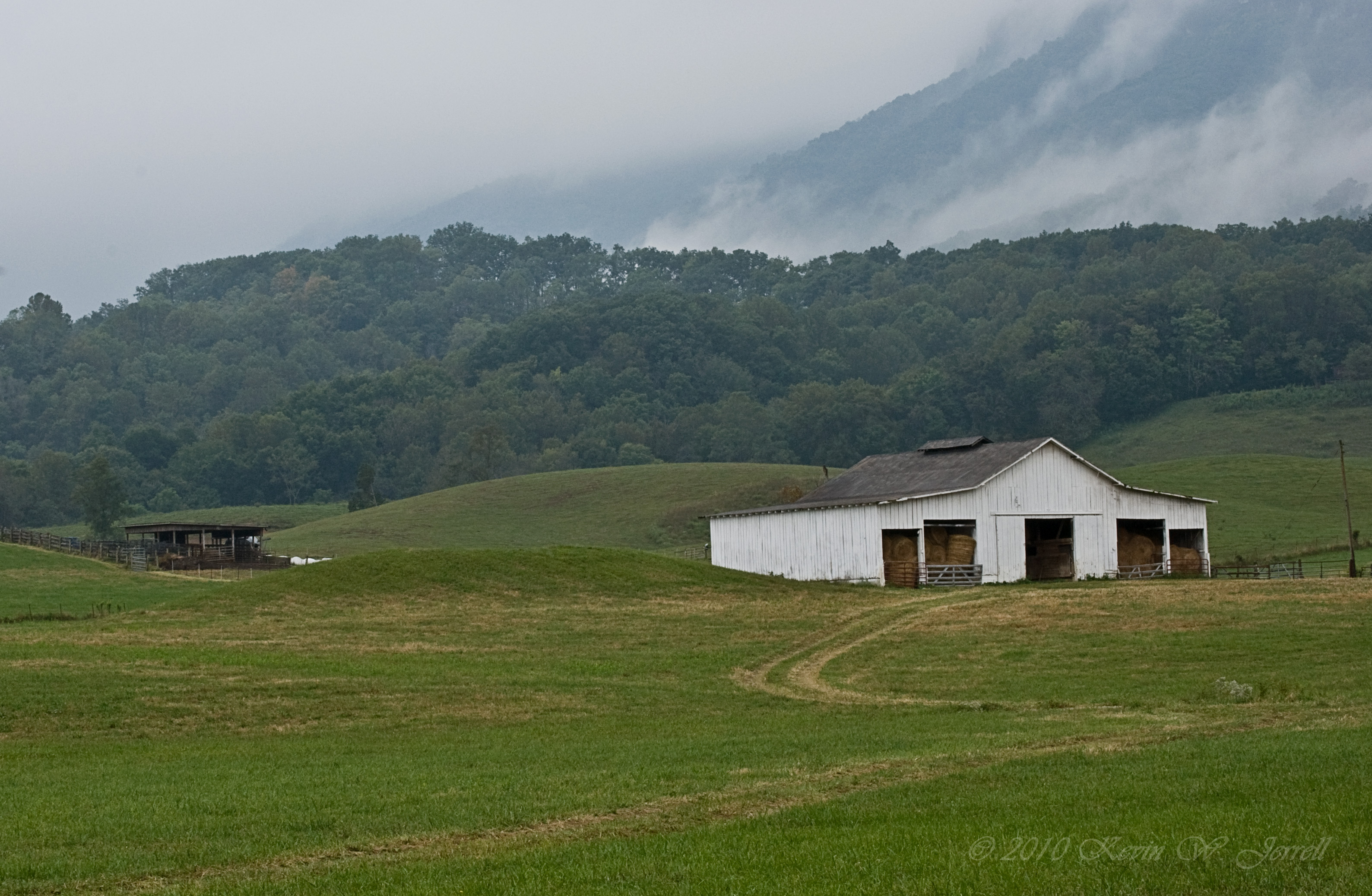
Heavy Weather
It Fall, Y'all
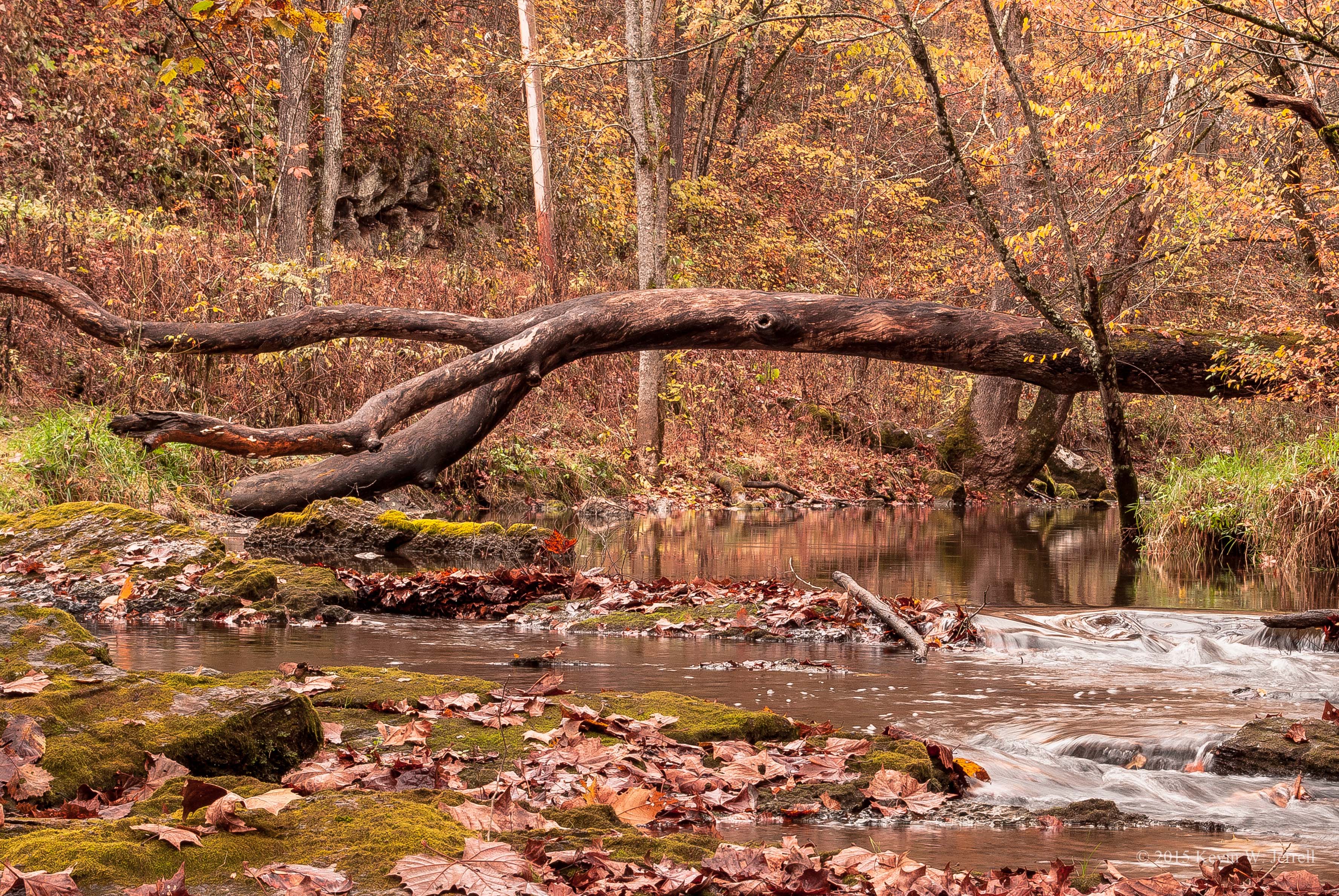
Along the Creek
Ely Mound
View of the Rocks
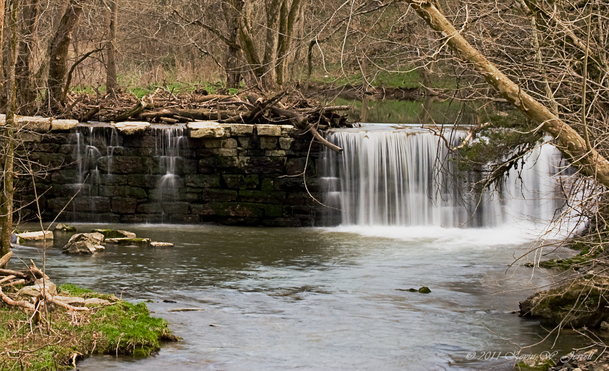
Kesterson Mill Dam
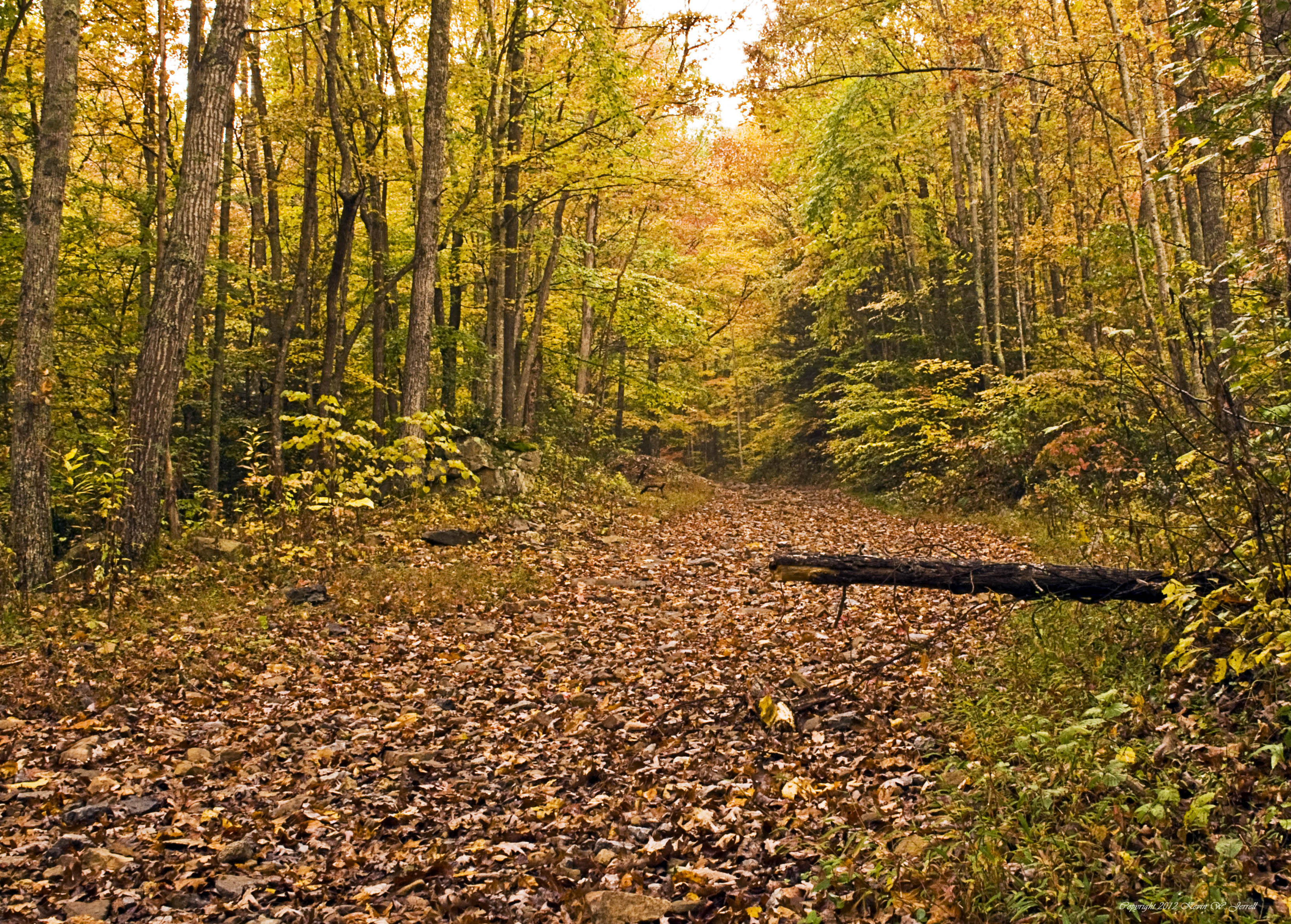
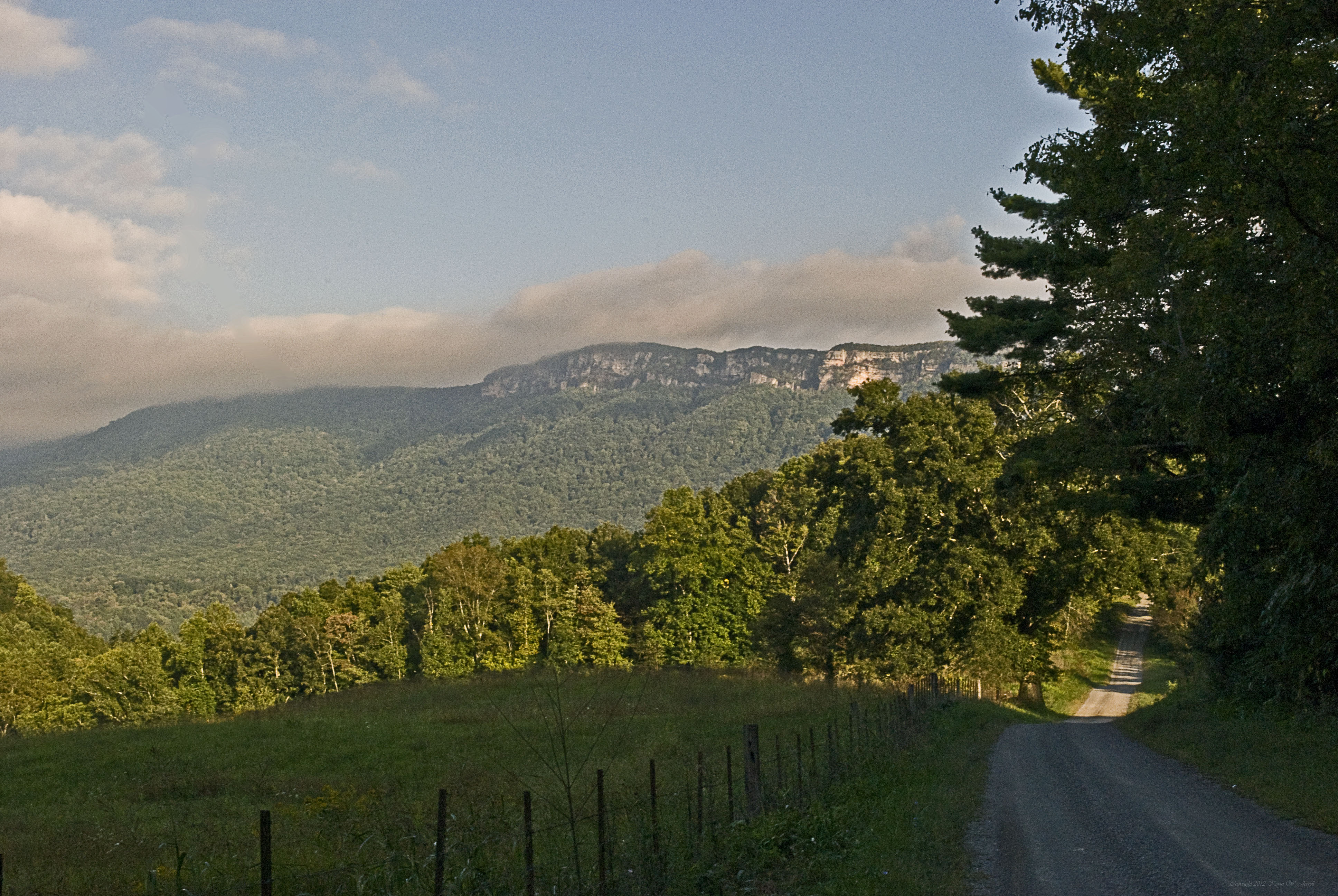
Up the Mountain
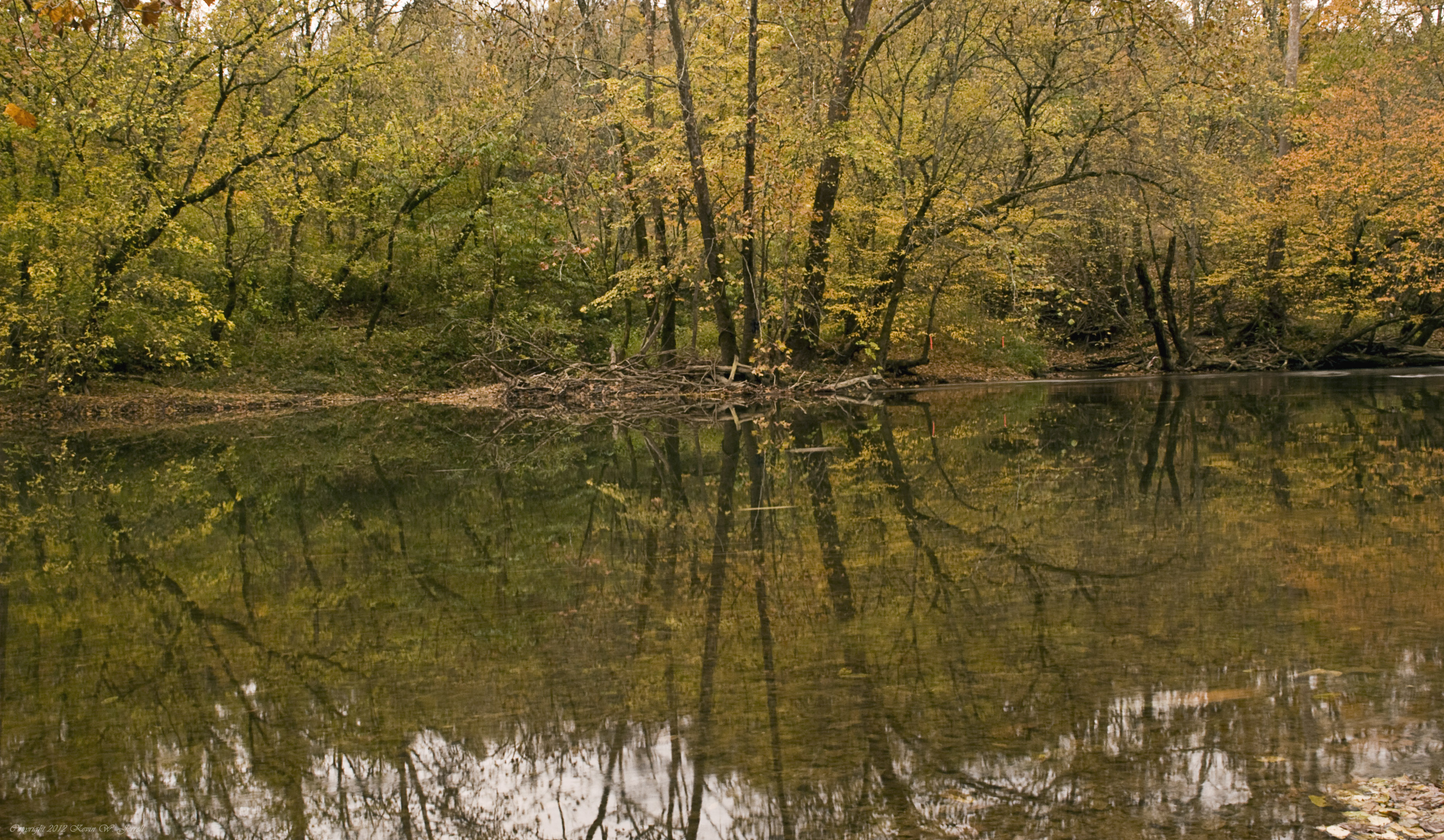
Down By the Riverside
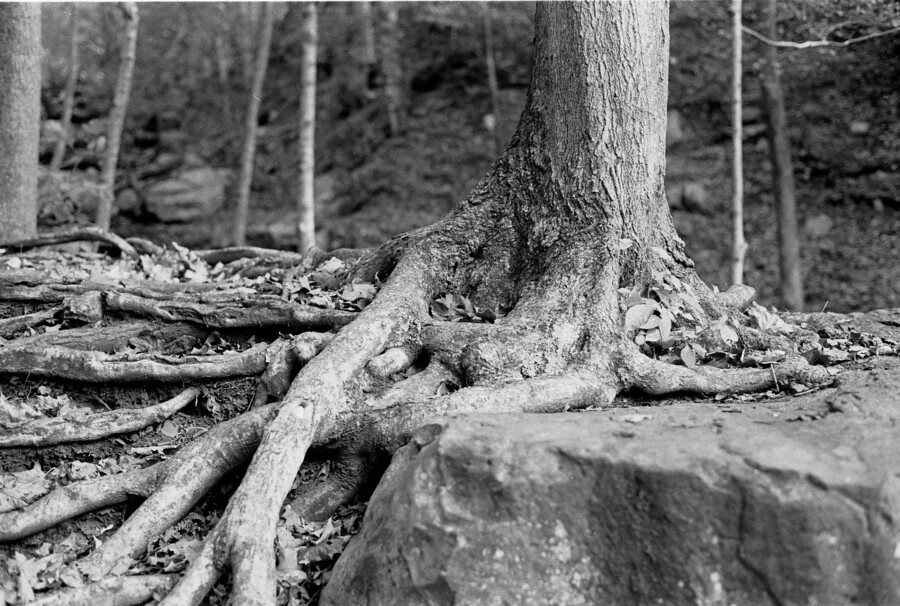
Roots and Rock

New Hazewell-12
Stone & Water
I just drove through a mountain! #Cumberlandgap
#kentucky #travel #cumberlandgap #tunnel
The Pinnacle
Topographic Map of Wilderness Road State Park, Wilderness Rd Trail, Ewing, VA, USA
Find elevation by address:

Places near Wilderness Road State Park, Wilderness Rd Trail, Ewing, VA, USA:
Ewing Head Start
US-58, Ewing, VA, USA
449 Little Creek Rd
644 Poplar Grove Rd
643 Poplar Grove Rd
352 Poplar Grove Rd
Forge Ridge
468 Grandview Dr
468 Grandview Dr
1, VA, USA
Daniel Boone Trail, Ewing, VA, USA
Ewing
Mt Zion Rd, Tazewell, TN, USA
1685 State Rd 685
Cumberland Gap National Historical Park
Williams Branch
147 Oxford Cir
Calvin
335 Washington Ave
State Hwy, Middlesboro, KY, USA
Recent Searches:
- Elevation of Corso Fratelli Cairoli, 35, Macerata MC, Italy
- Elevation of Tallevast Rd, Sarasota, FL, USA
- Elevation of 4th St E, Sonoma, CA, USA
- Elevation of Black Hollow Rd, Pennsdale, PA, USA
- Elevation of Oakland Ave, Williamsport, PA, USA
- Elevation of Pedrógão Grande, Portugal
- Elevation of Klee Dr, Martinsburg, WV, USA
- Elevation of Via Roma, Pieranica CR, Italy
- Elevation of Tavkvetili Mountain, Georgia
- Elevation of Hartfords Bluff Cir, Mt Pleasant, SC, USA