Elevation of US-58, Ewing, VA, USA
Location: United States > Virginia > Lee County >
Longitude: -83.557075
Latitude: 36.6175699
Elevation: 406m / 1332feet
Barometric Pressure: 97KPa
Elevation Map:
Satellite Map:
Related Photos:

Big Dog's Big Nose
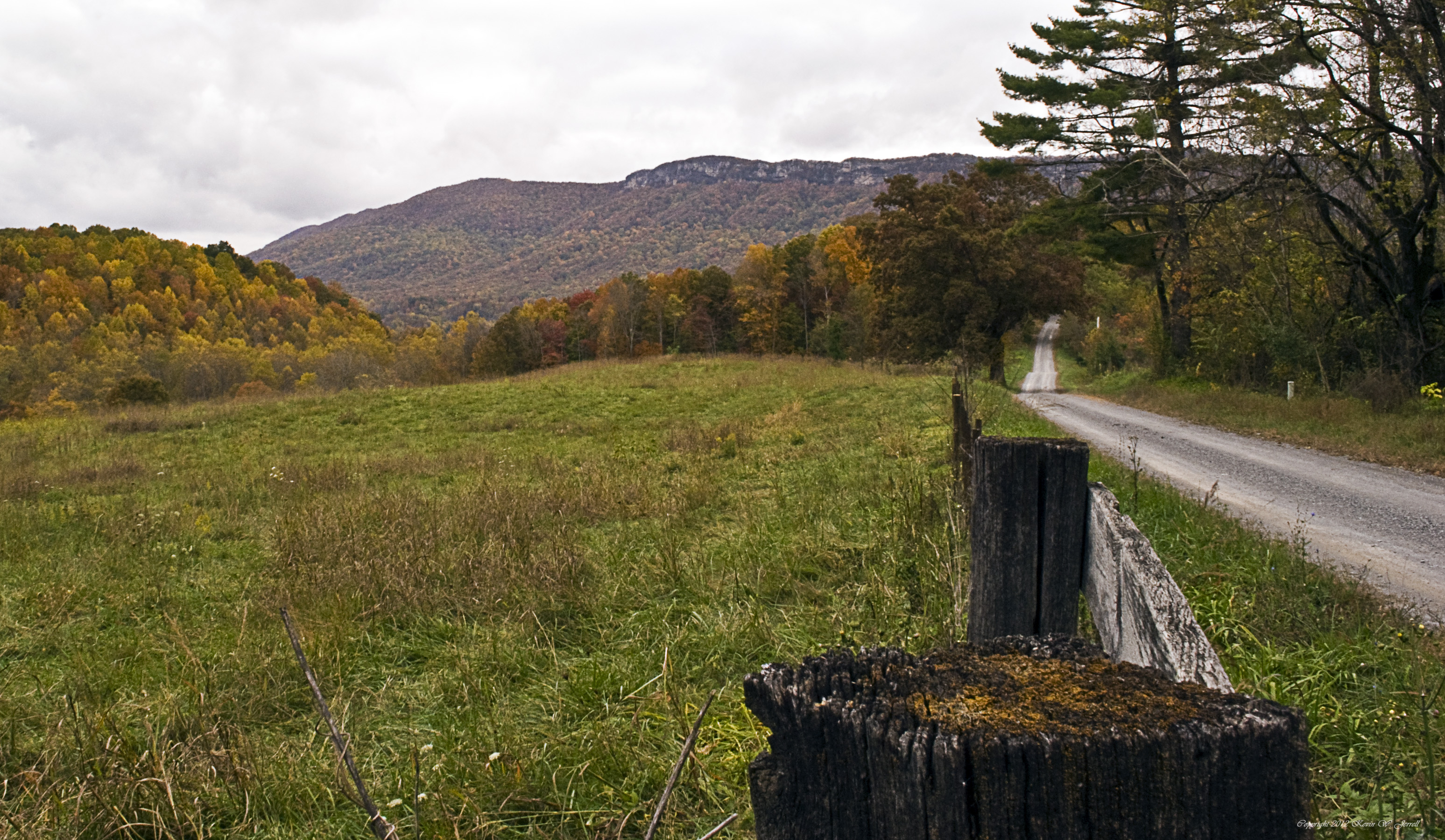
Country Fall

Into The Light
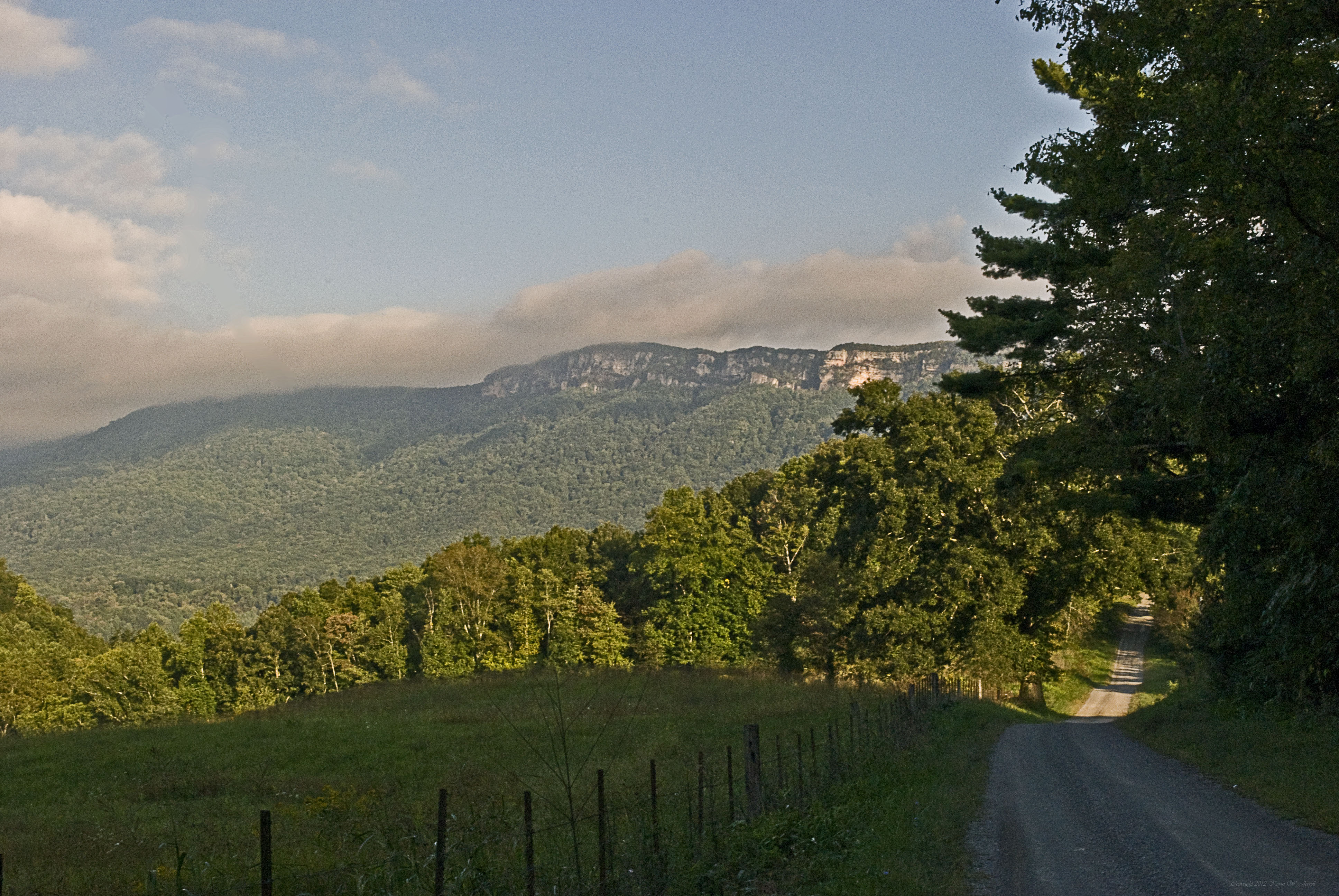
View up the Mountain.
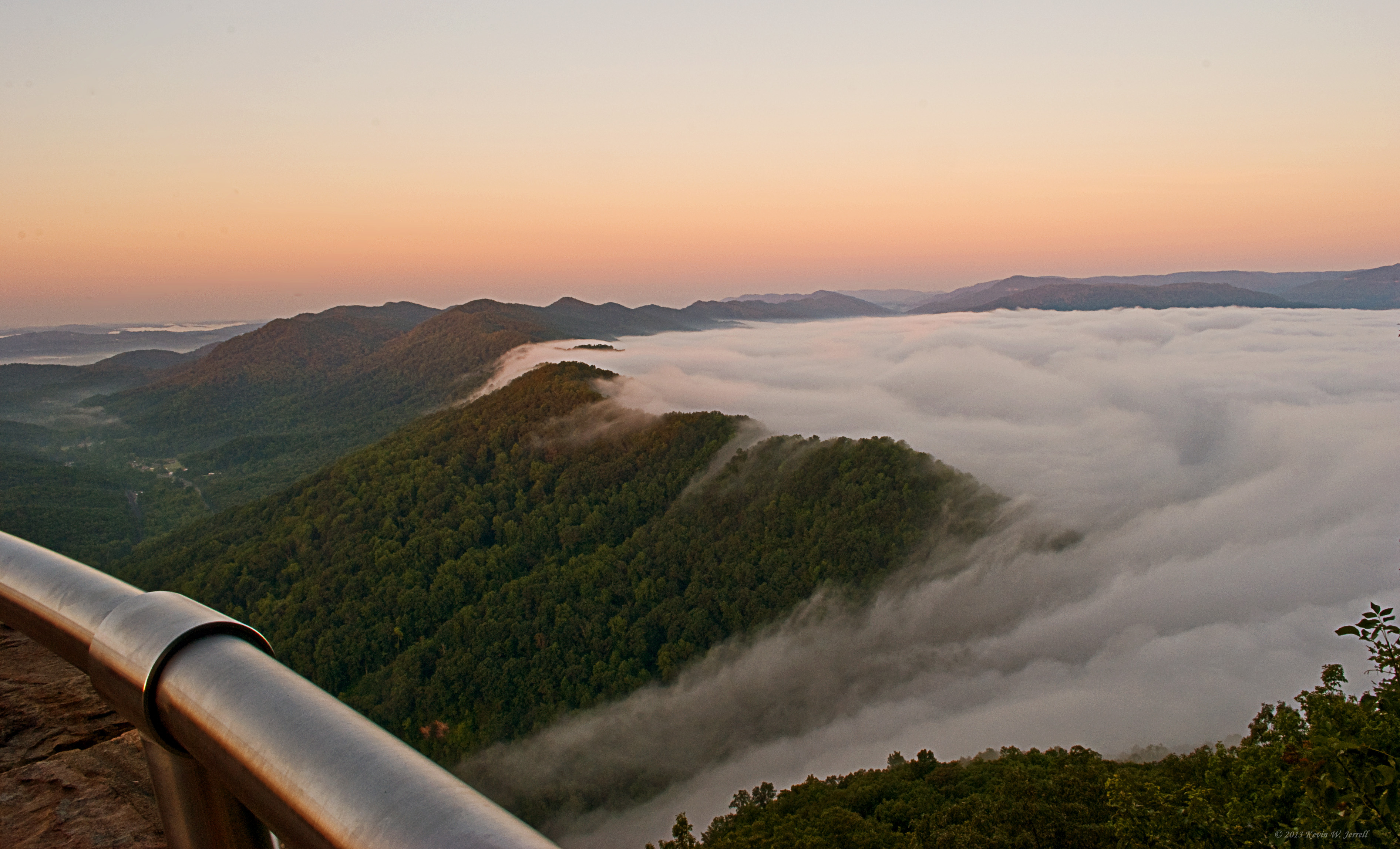
Bowl Full of Fog
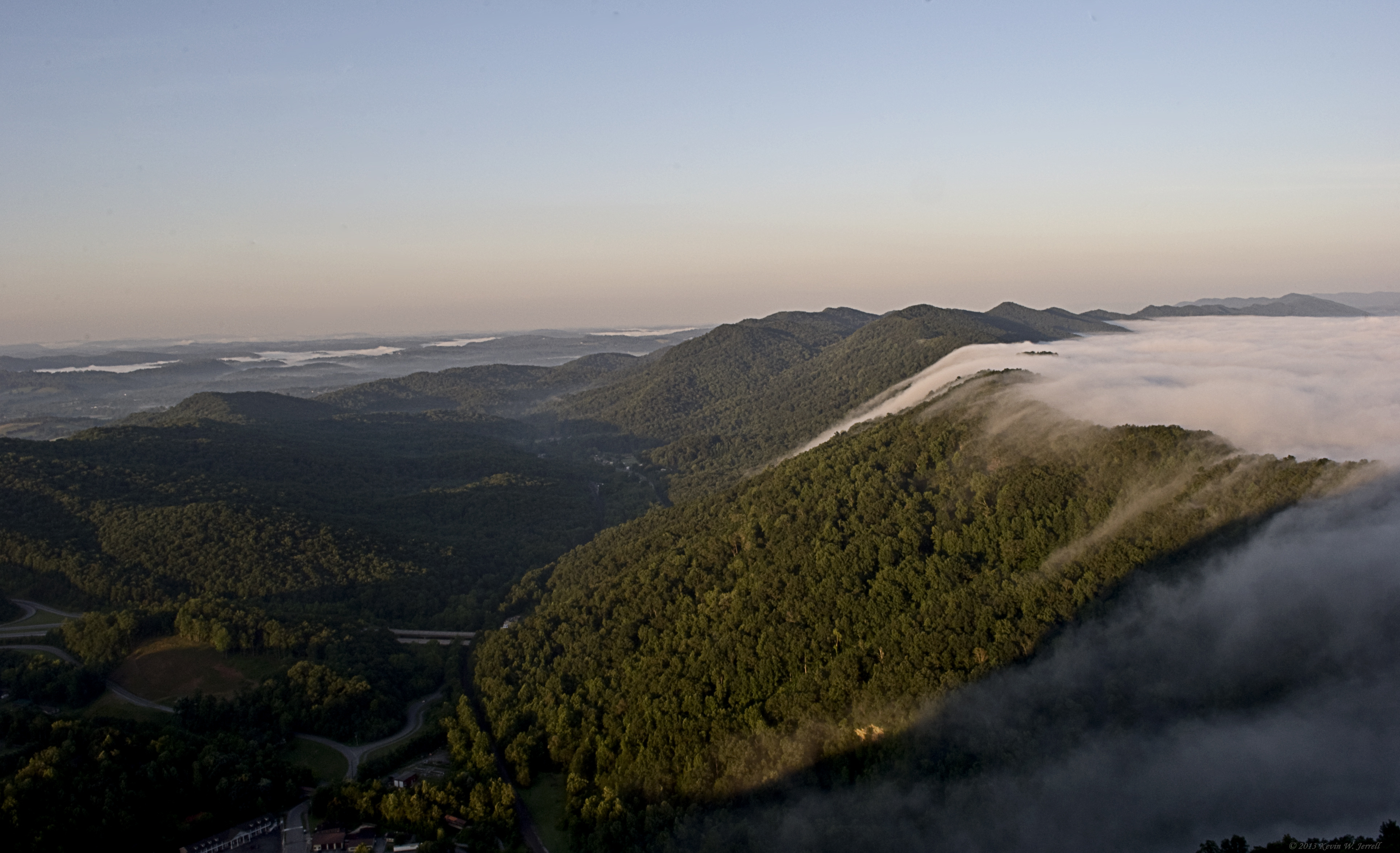
MORNING LIGHT AND SHADOW
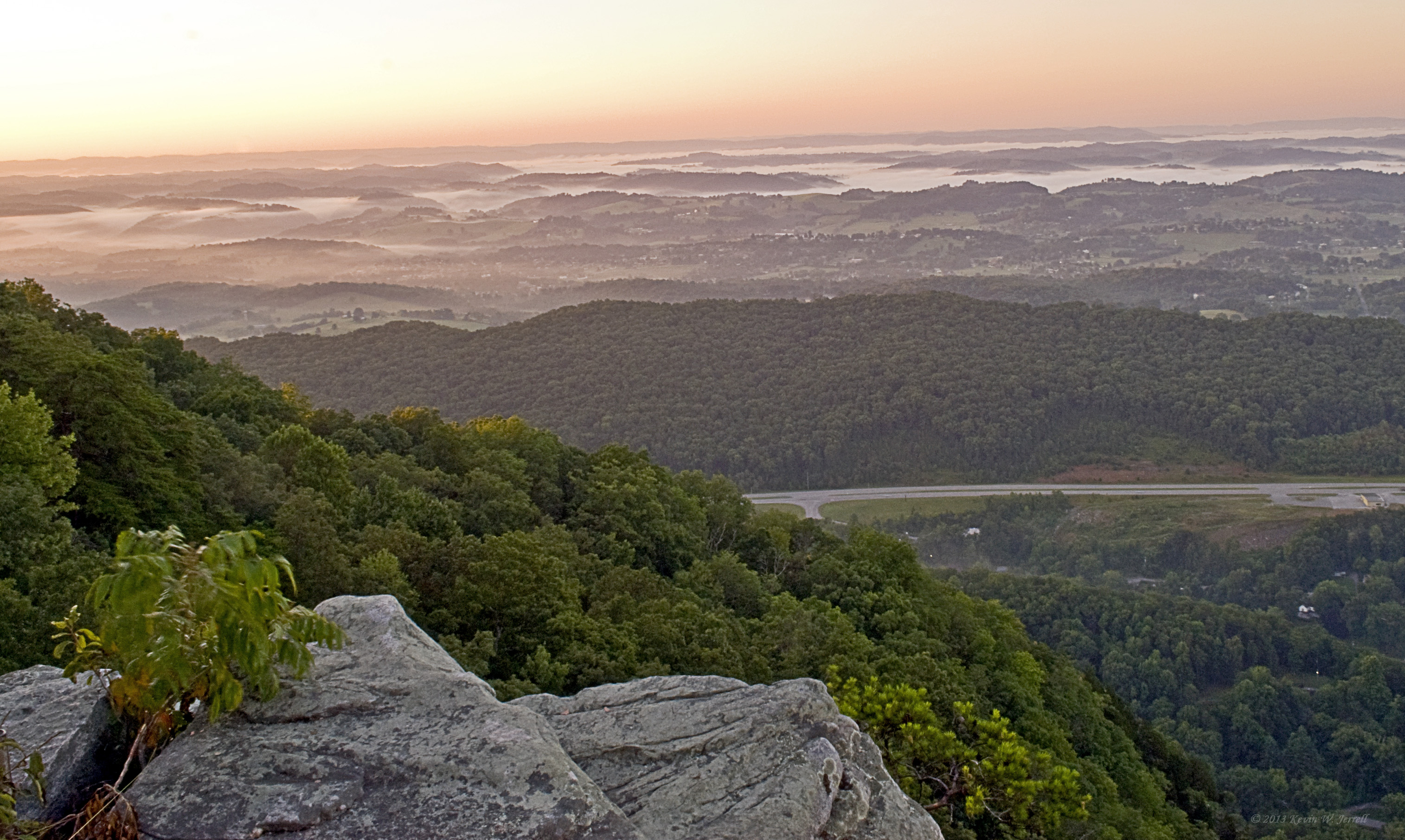
Pinnacle View

A Wave Goodbye
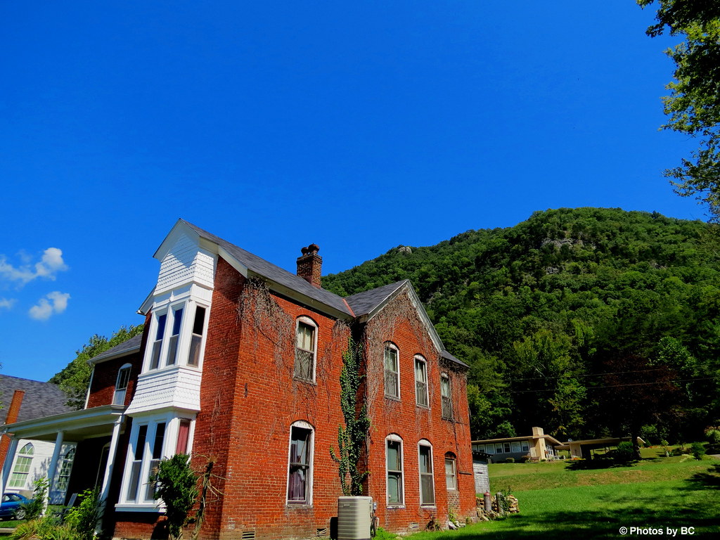
Virginia view
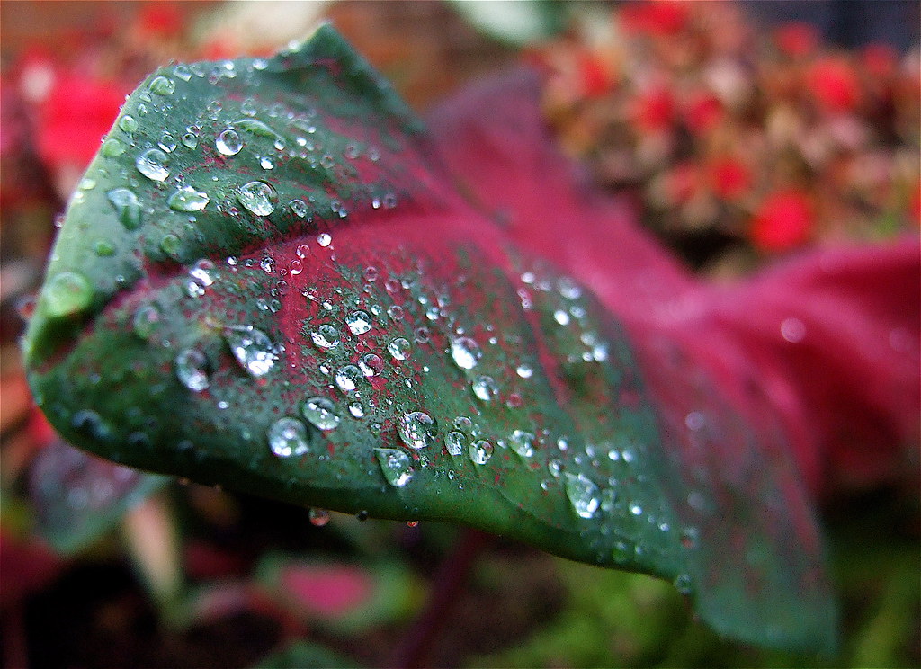
Diamonds On A Leaf

Morning Dew

Down on the Rail

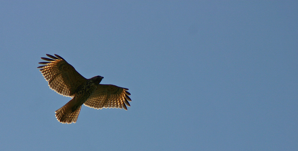
Hunting From Above
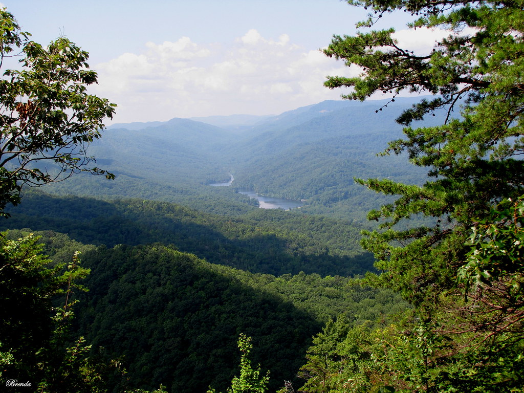
Fog in the Valley

Bluish-purple Wild Flower I

View From The Pinnacle V

Inside Out
Going Up
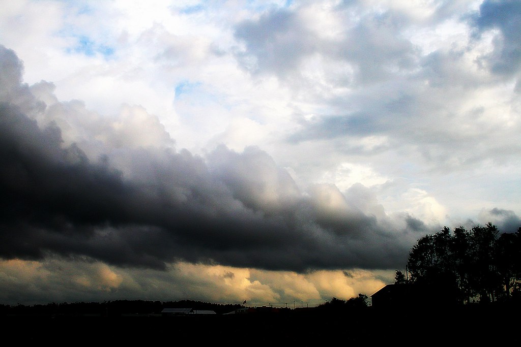
Heavy Weather
View of the Rocks

A Fairy Ring Revisited
It Fall, Y'all

Bell County, Kentucky
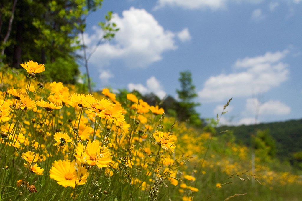
A Hillside of Yellow
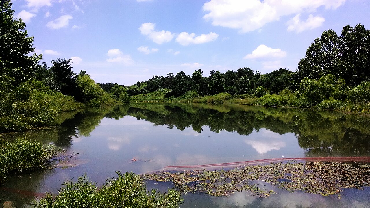
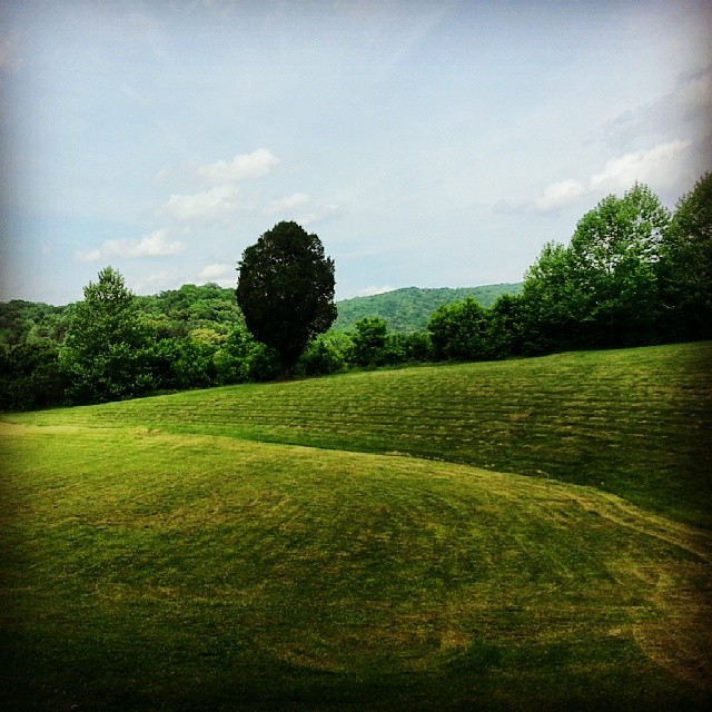
Mountain Drive Pond
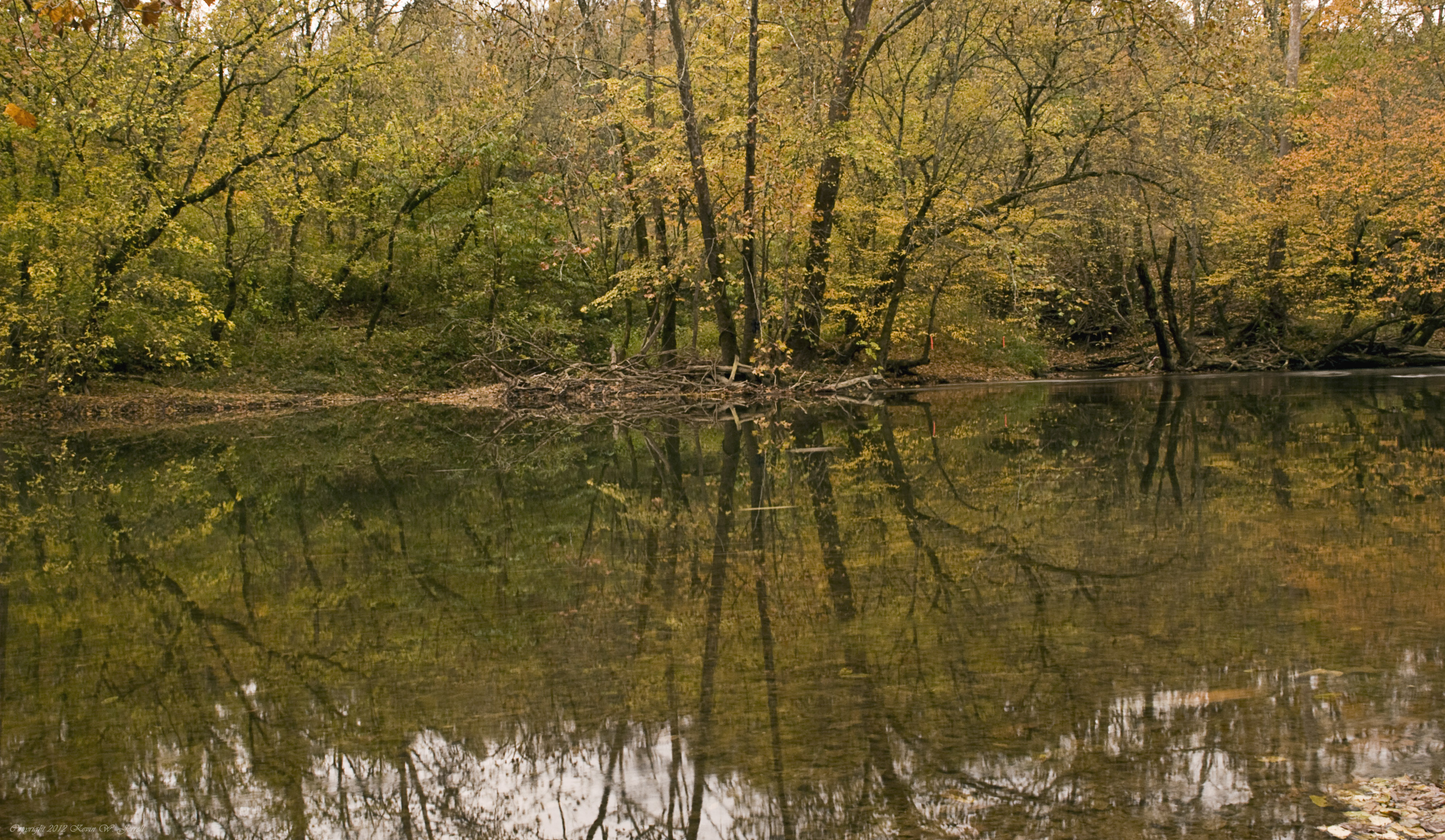
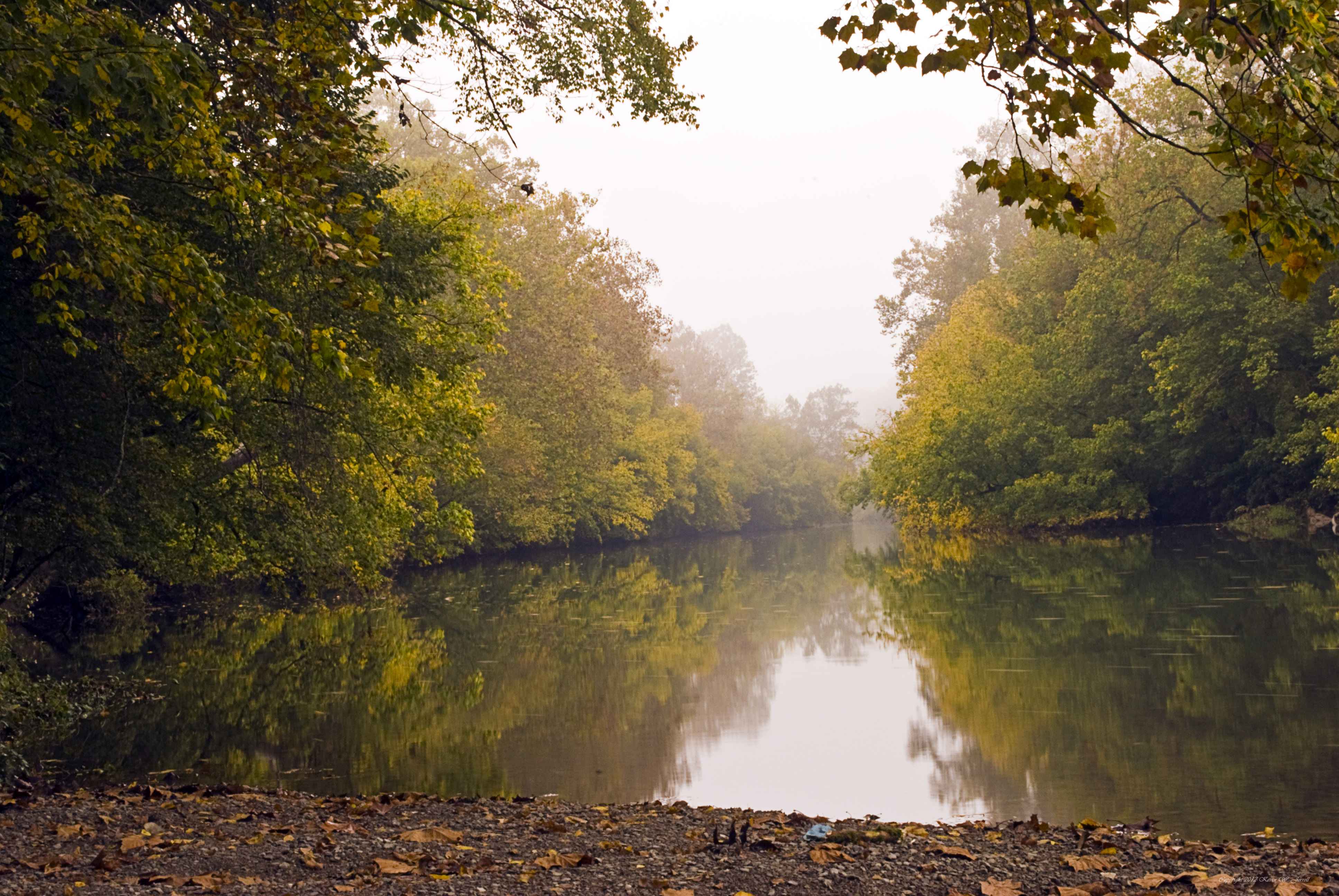
Down By the Riverside
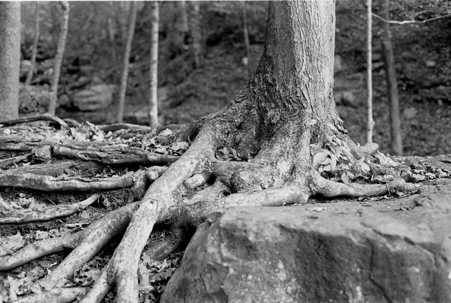
Roots and Rock
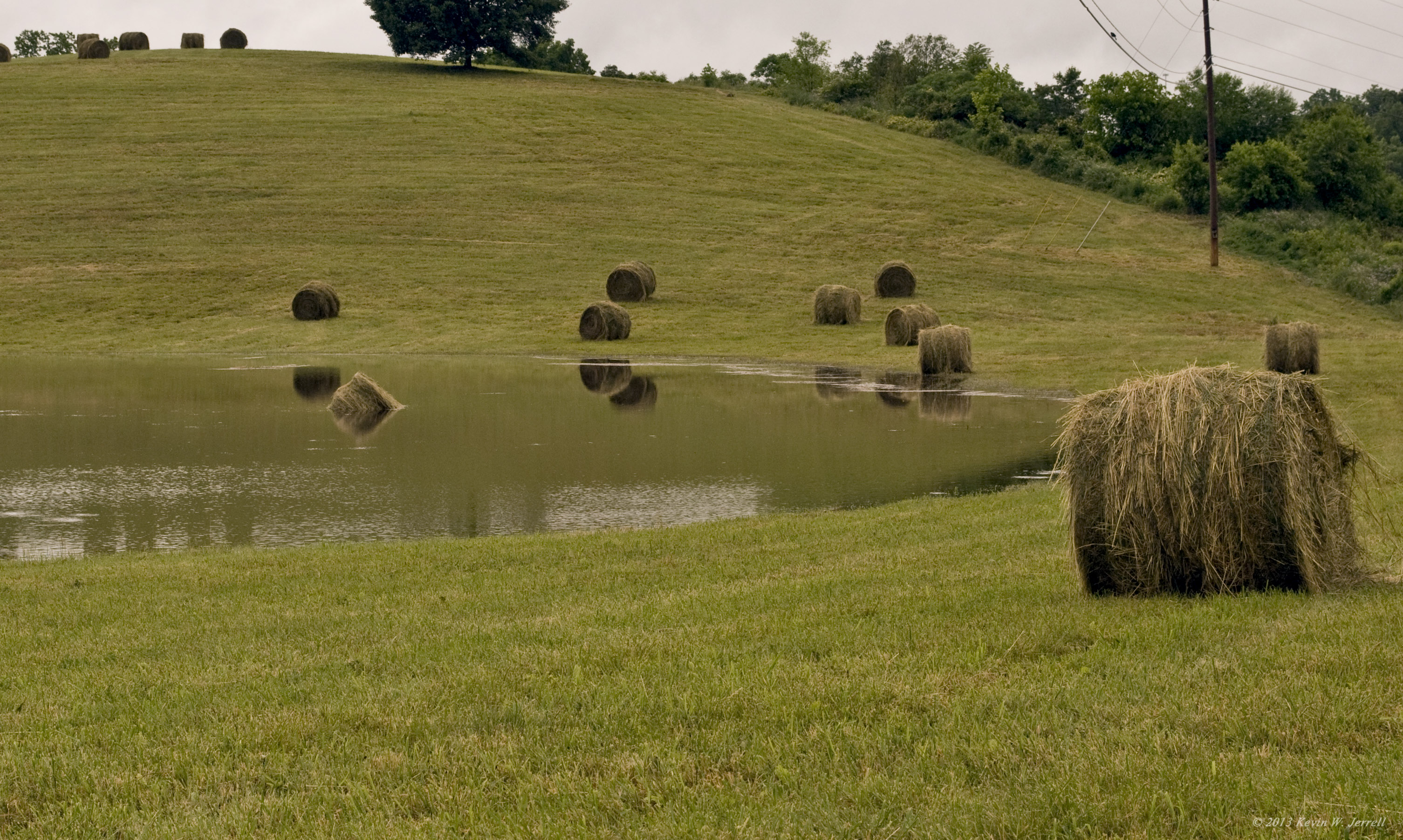
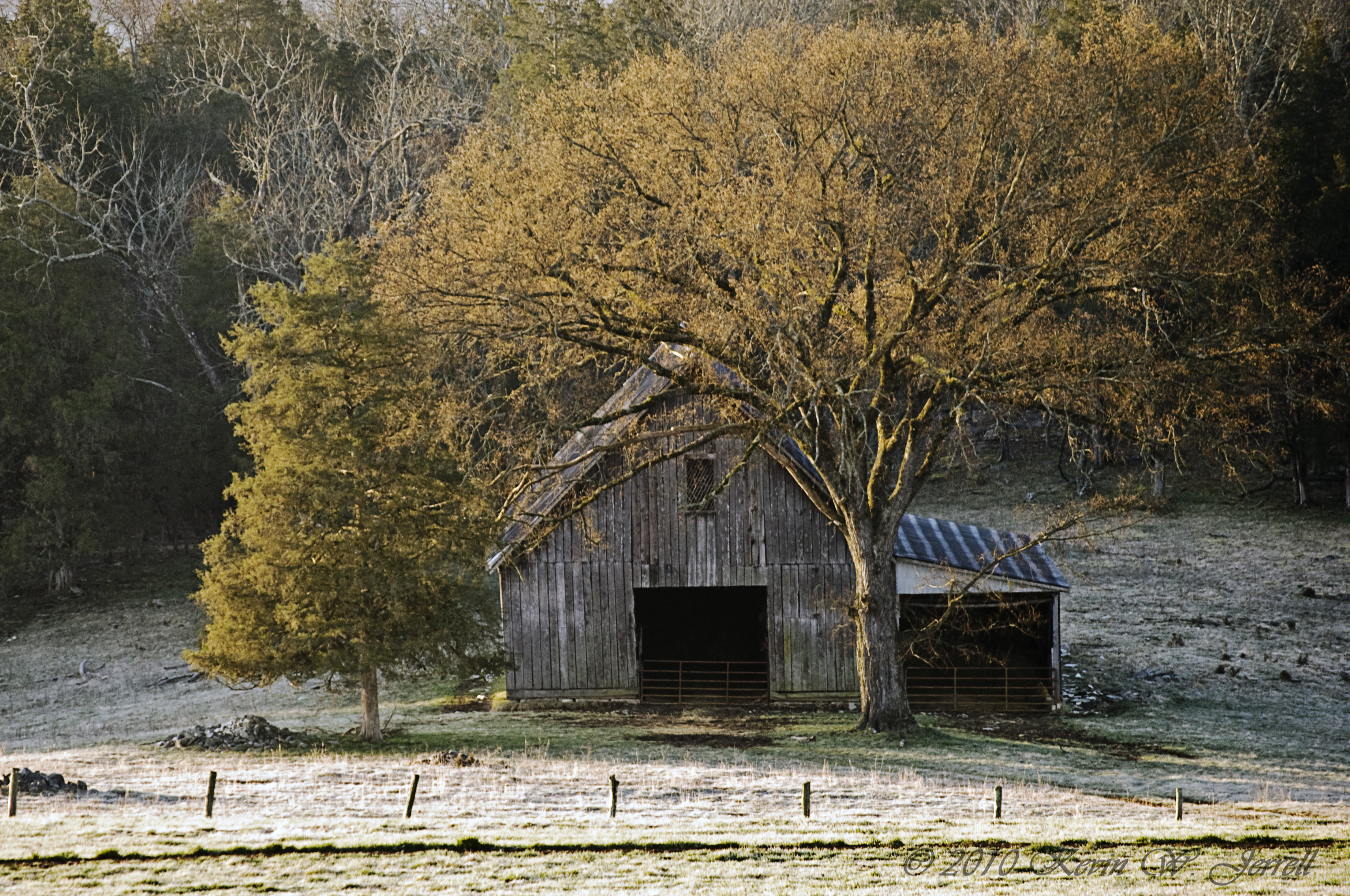
Drowned Hay
I just drove through a mountain! #Cumberlandgap
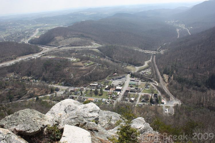
The Pinnacle
The Road Home

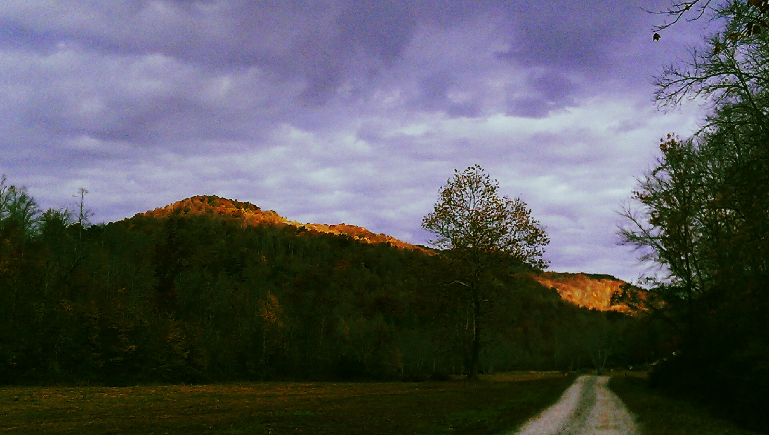
Fog Over The Mountains
Yellow Creek

Country Car Wash
Forever and Ever
Cumberland Gap, TN
Topographic Map of US-58, Ewing, VA, USA
Find elevation by address:

Places near US-58, Ewing, VA, USA:
Ewing Head Start
Wilderness Road State Park
449 Little Creek Rd
644 Poplar Grove Rd
643 Poplar Grove Rd
Forge Ridge
352 Poplar Grove Rd
Cumberland Gap National Historical Park
147 Oxford Cir
335 Washington Ave
Harrogate
State Hwy, Middlesboro, KY, USA
6369 Cumberland Gap Pkwy
Pinnacle Overlook Parking Lot
Lincoln Memorial University
Williams Branch
Cumberland Gap
468 Grandview Dr
468 Grandview Dr
1, VA, USA
Recent Searches:
- Elevation of Kreuzburger Weg 13, Düsseldorf, Germany
- Elevation of Gateway Blvd SE, Canton, OH, USA
- Elevation of East W.T. Harris Boulevard, E W.T. Harris Blvd, Charlotte, NC, USA
- Elevation of West Sugar Creek, Charlotte, NC, USA
- Elevation of Wayland, NY, USA
- Elevation of Steadfast Ct, Daphne, AL, USA
- Elevation of Lagasgasan, X+CQH, Tiaong, Quezon, Philippines
- Elevation of Rojo Ct, Atascadero, CA, USA
- Elevation of Flagstaff Drive, Flagstaff Dr, North Carolina, USA
- Elevation of Avery Ln, Lakeland, FL, USA