Elevation of State Hwy, Middlesboro, KY, USA
Location: United States > Kentucky > Bell County > Middlesboro >
Longitude: -83.656882
Latitude: 36.6570451
Elevation: 329m / 1079feet
Barometric Pressure: 97KPa
Elevation Map:
Satellite Map:
Related Photos:

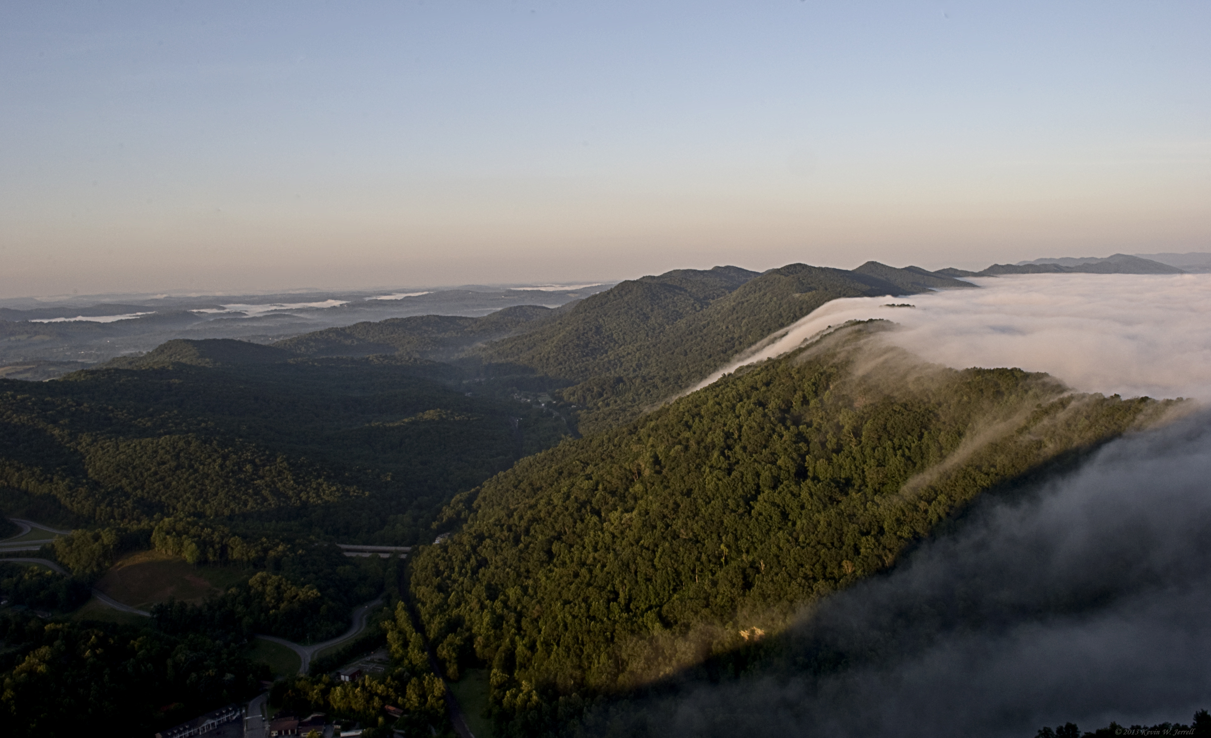
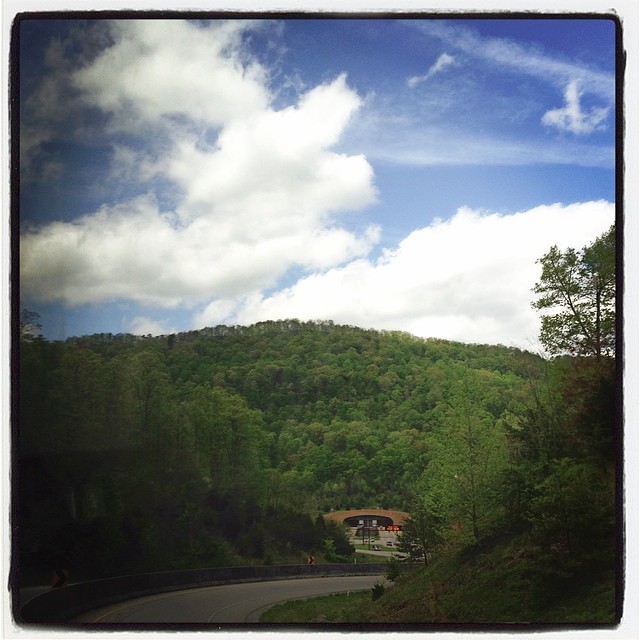
View From The Pinnacle V

The Chain Of "Chain Rock" (Pineville, KY) III

Mountain Sunrise

Bowl Full of Fog

Cabin View.
Pinnacle View

A Wave Goodbye
Virginia view

Diamonds On A Leaf

Morning Dew

Hunting From Above

COUNTRY BARN

Fog in the Valley

Bluish-purple Wild Flower I
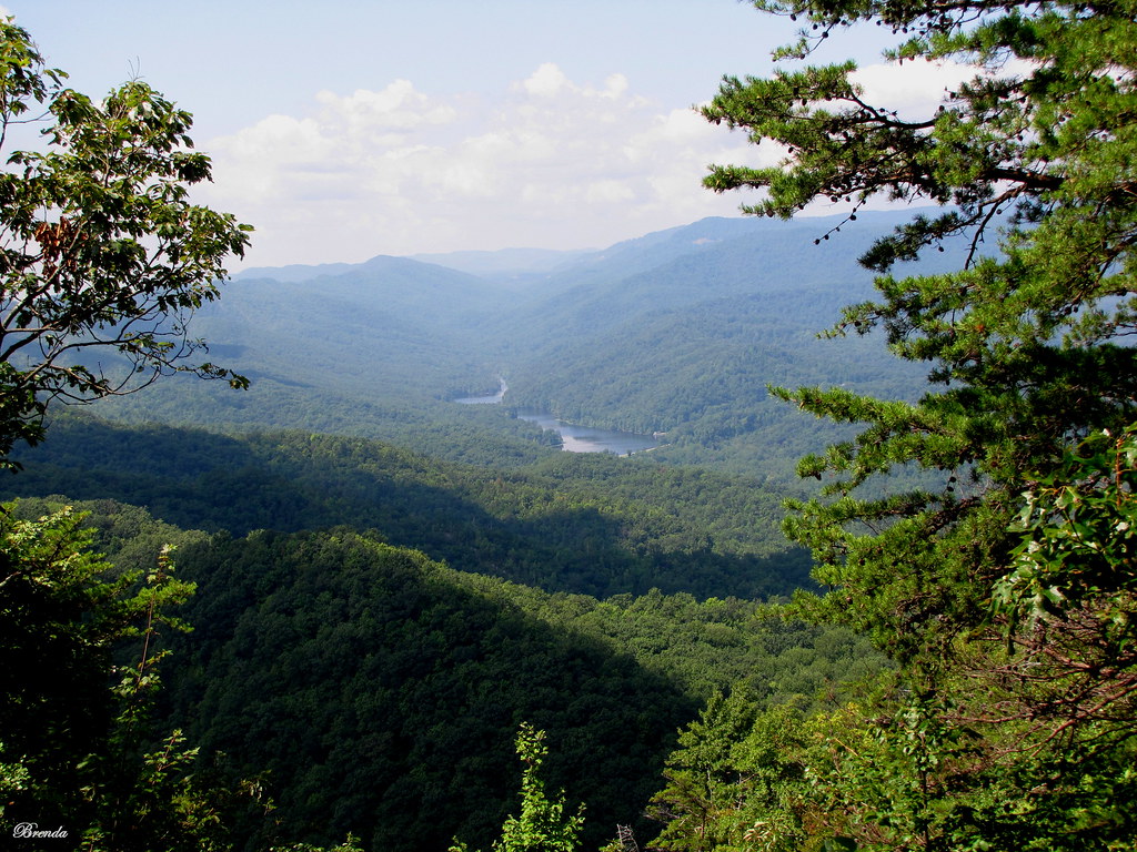
View up the Mountain.

Going Up
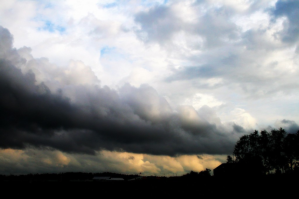
Heavy Weather

A Fairy Ring Revisited
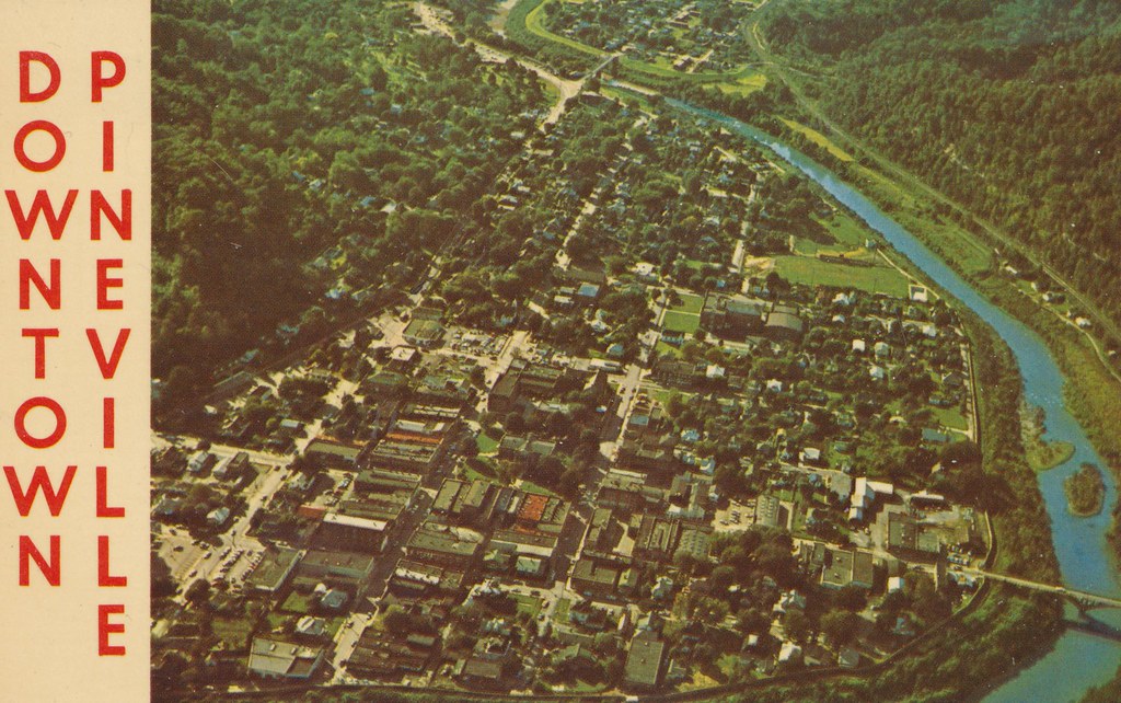
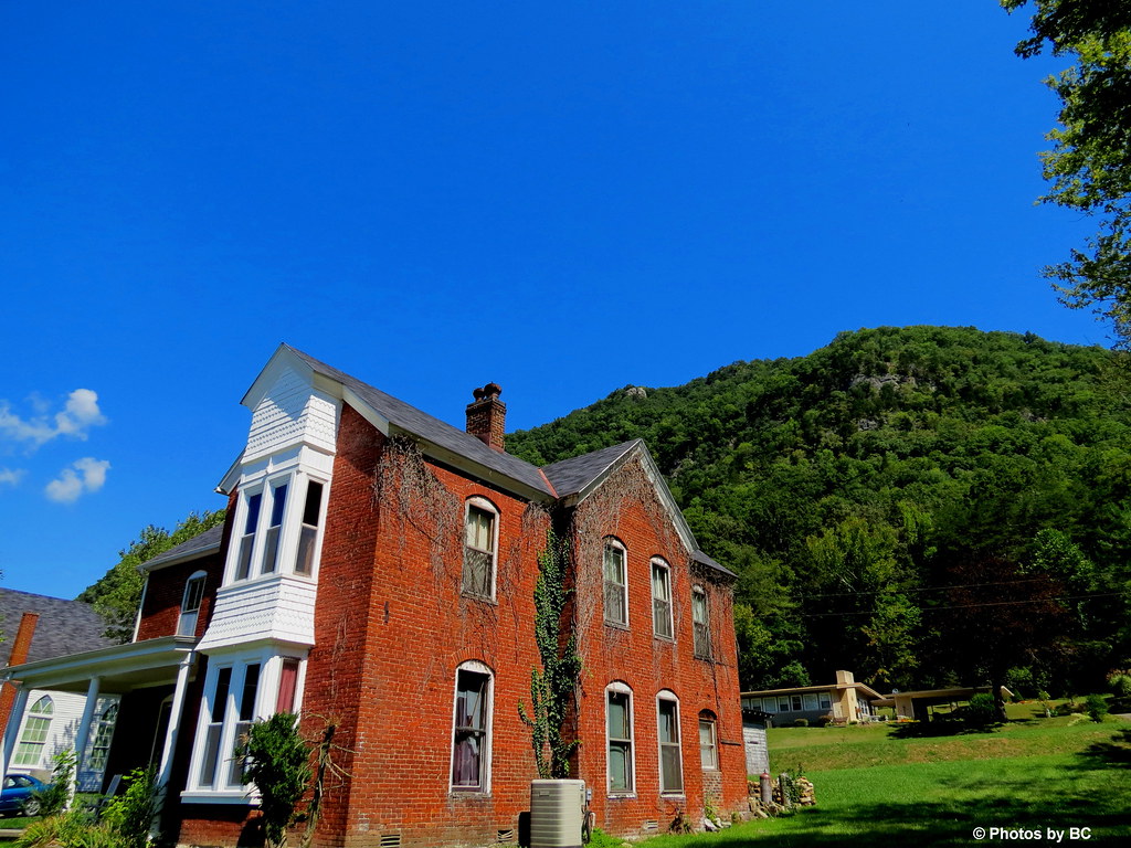
Pineville, Kentucky
Something Evil This Way Comes..

Doc.. I keep seeing these red spots!!

A Hillside of Yellow

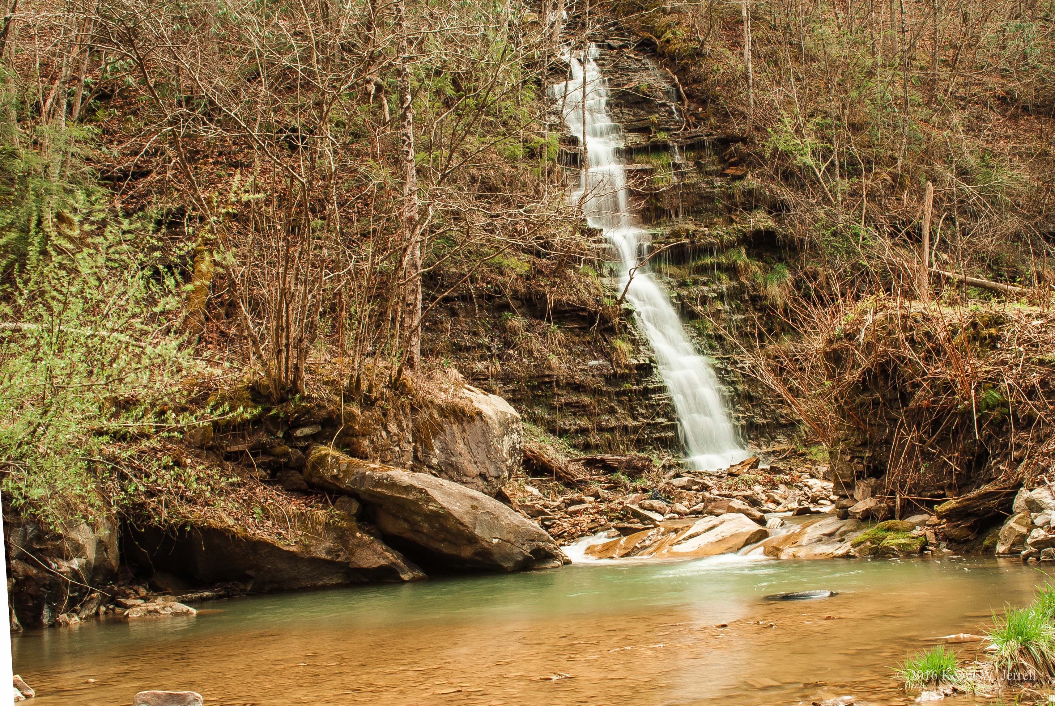
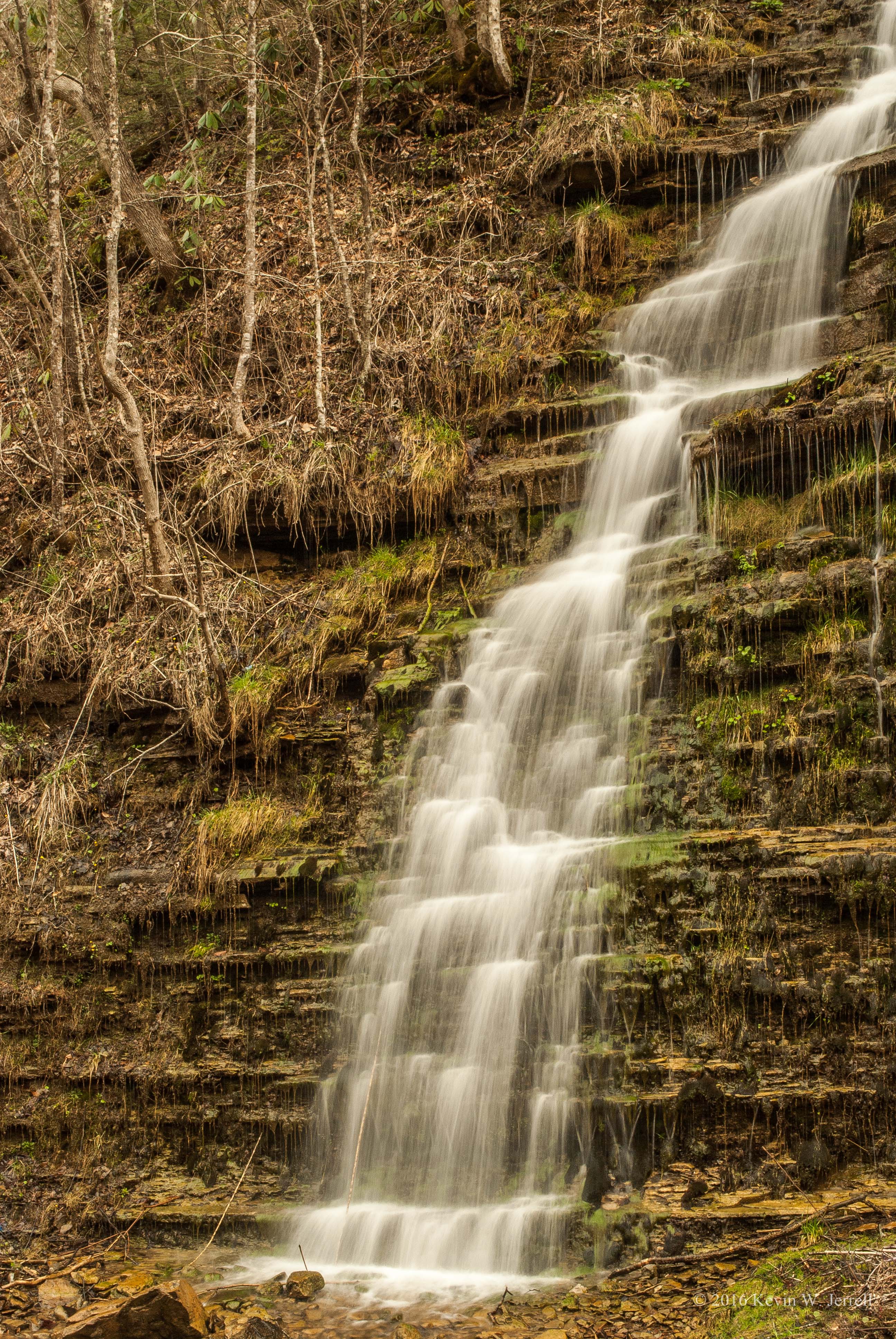
Burrell Creek Falls
Cumberland Gap National Historical Park (Ky./Tenn./Va.), 8 October 1987
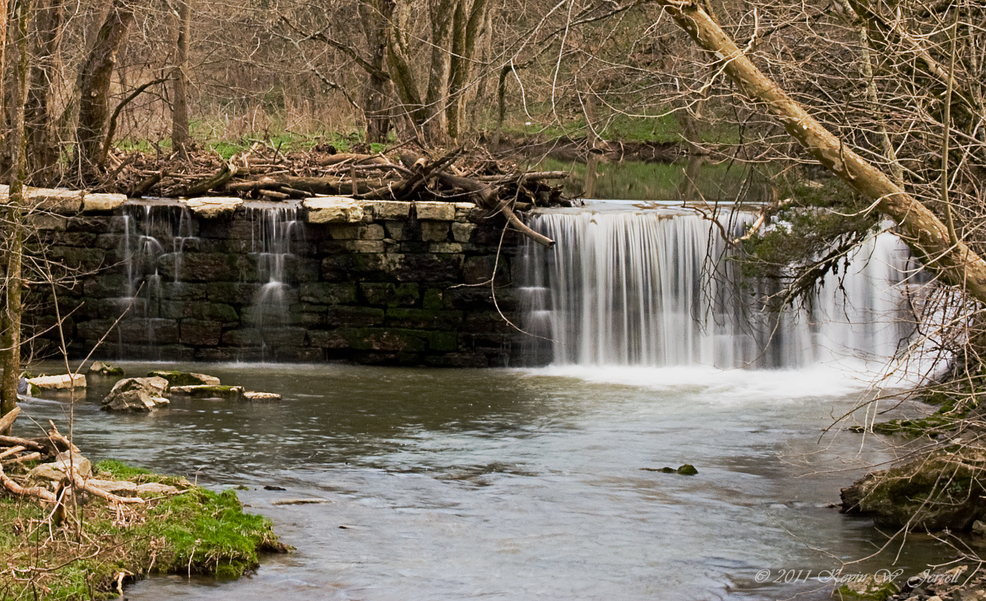
Kesterson Mill Dam
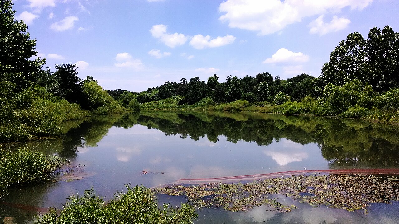
Mountain Drive Pond

Chain Rock

Old Foot Bridge.
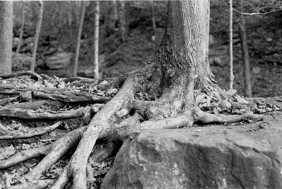
Roots and Rock
Motch Falls

New Hazewell-12
I just drove through a mountain! #Cumberlandgap
#kentucky #travel #cumberlandgap #tunnel
Beauty Amidst the Trash

Cumberland Gap overlook
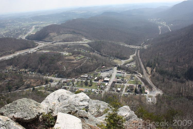
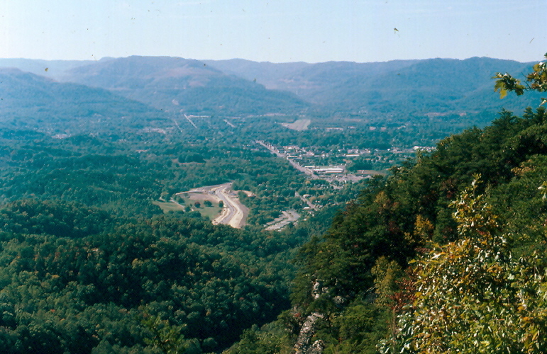
The Pinnacle

The Road Home
Topographic Map of State Hwy, Middlesboro, KY, USA
Find elevation by address:

Places near State Hwy, Middlesboro, KY, USA:
Cumberland Gap National Historical Park
Pinnacle Overlook Parking Lot
Williams Branch
Cumberland Gap
Calvin
Harrogate
Lincoln Memorial University
335 Washington Ave
147 Oxford Cir
6369 Cumberland Gap Pkwy
US-58, Ewing, VA, USA
Forge Ridge
Ewing Head Start
Wilderness Road State Park
449 Little Creek Rd
644 Poplar Grove Rd
643 Poplar Grove Rd
352 Poplar Grove Rd
468 Grandview Dr
468 Grandview Dr
Recent Searches:
- Elevation of Slanický ostrov, 01 Námestovo, Slovakia
- Elevation of Spaceport America, Co Rd A, Truth or Consequences, NM, USA
- Elevation of Warwick, RI, USA
- Elevation of Fern Rd, Whitmore, CA, USA
- Elevation of 62 Abbey St, Marshfield, MA, USA
- Elevation of Fernwood, Bradenton, FL, USA
- Elevation of Felindre, Swansea SA5 7LU, UK
- Elevation of Leyte Industrial Development Estate, Isabel, Leyte, Philippines
- Elevation of W Granada St, Tampa, FL, USA
- Elevation of Pykes Down, Ivybridge PL21 0BY, UK