Elevation of Grandview Dr, Ewing, VA, USA
Location: United States > Virginia > Lee County > > Ewing >
Longitude: -83.444566
Latitude: 36.6348795
Elevation: 424m / 1391feet
Barometric Pressure: 96KPa
Elevation Map:
Satellite Map:
Related Photos:
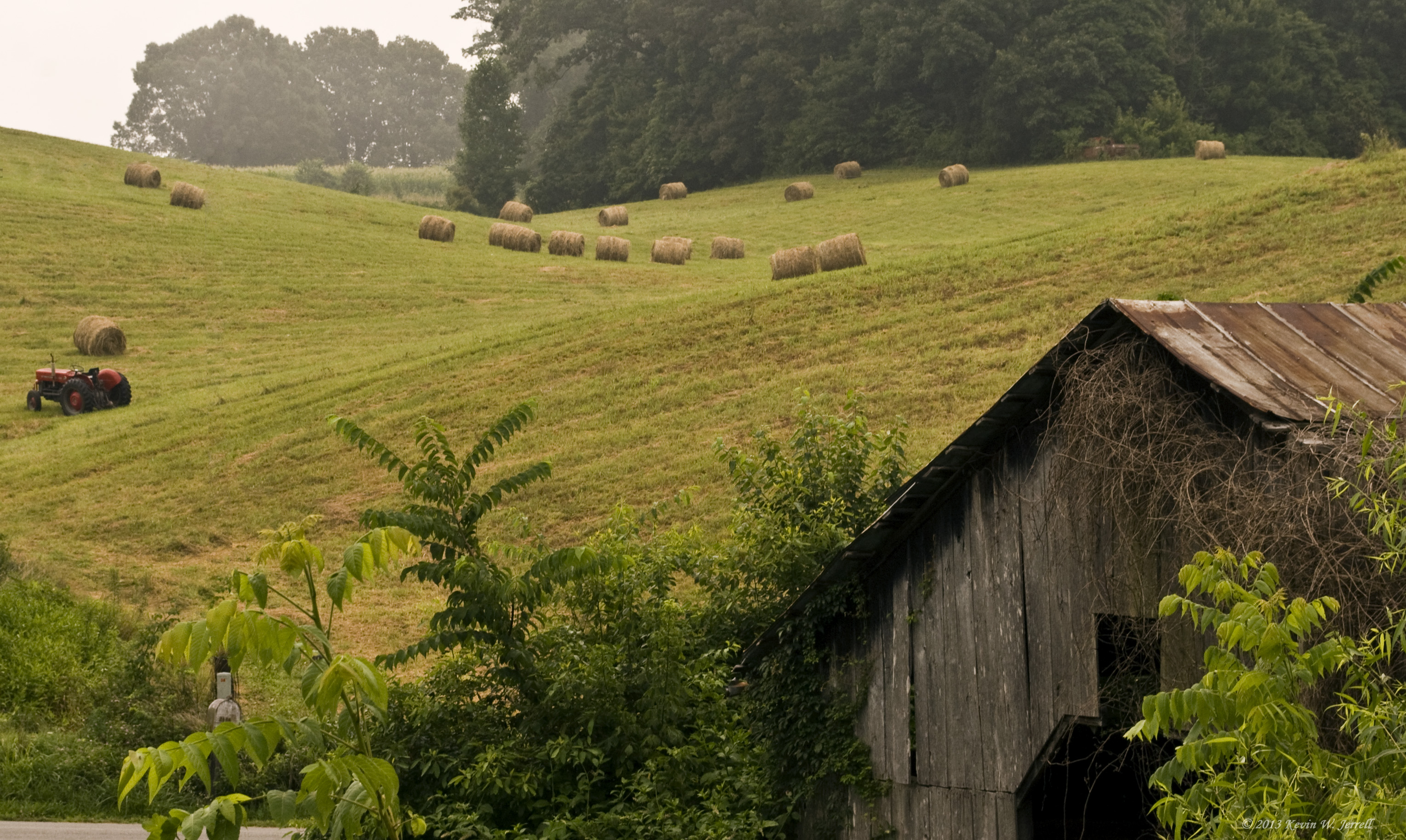
MORNING LIGHT AND SHADOW
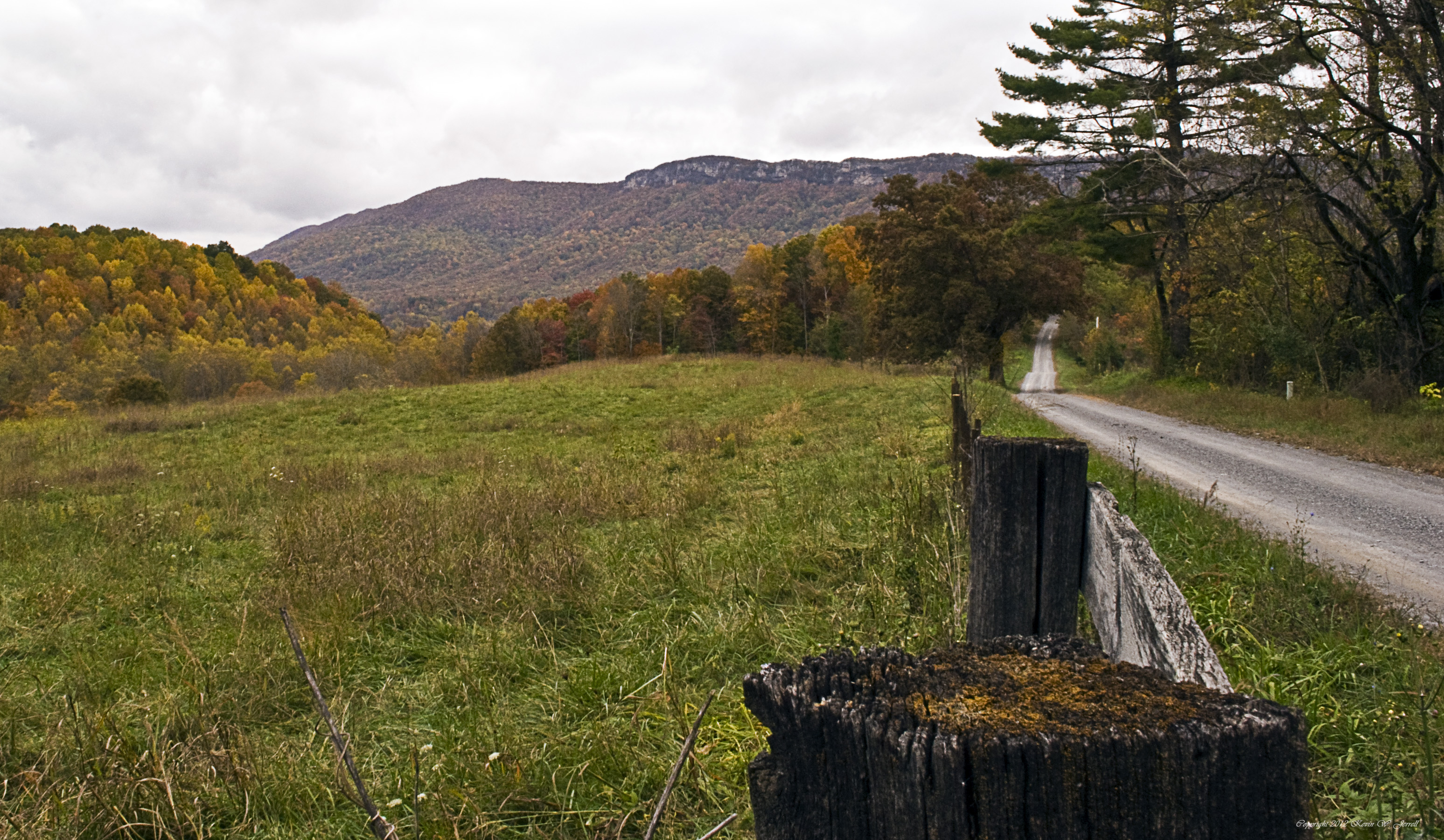
Country Fall

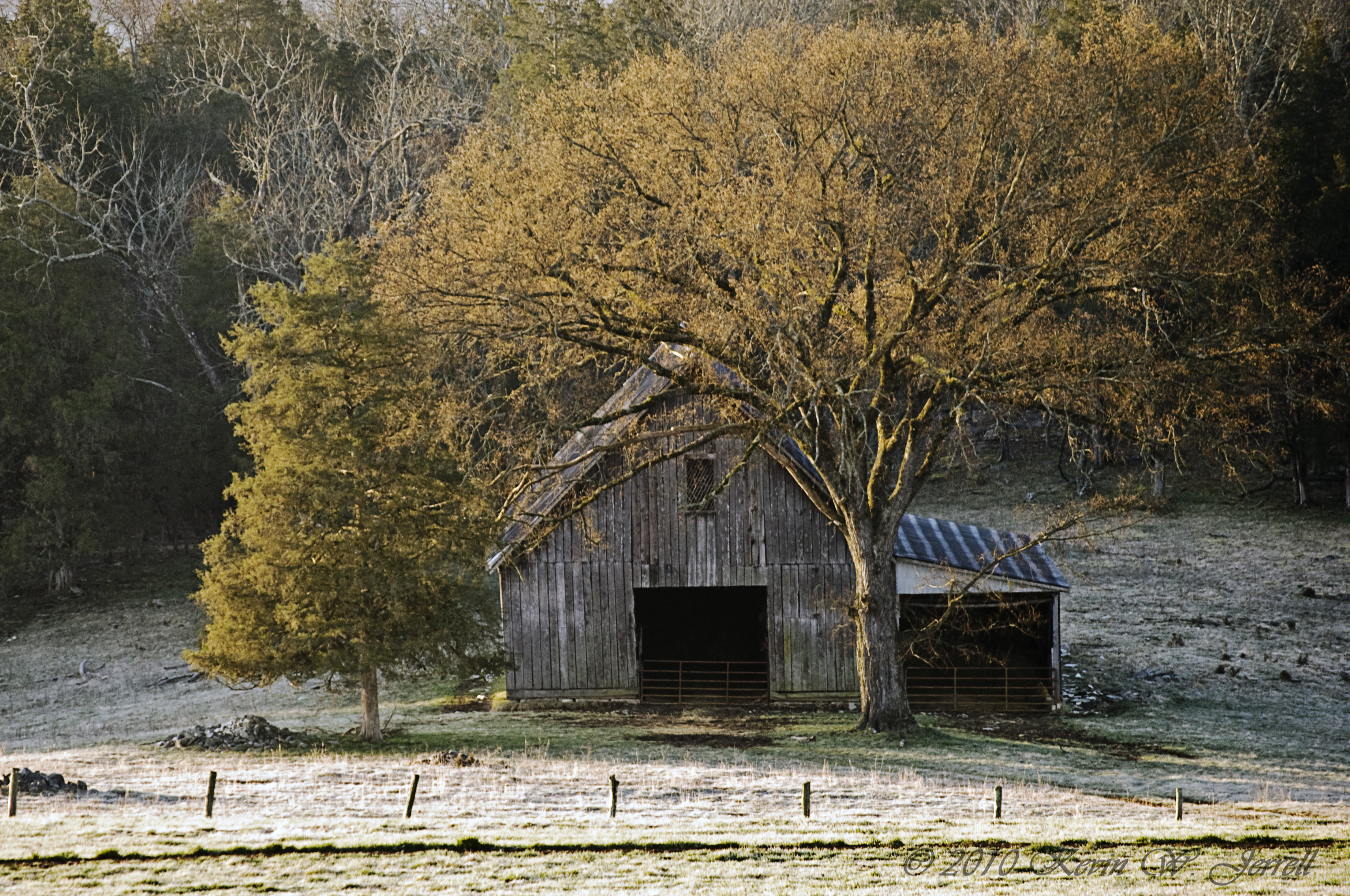
COUNTRY BARN
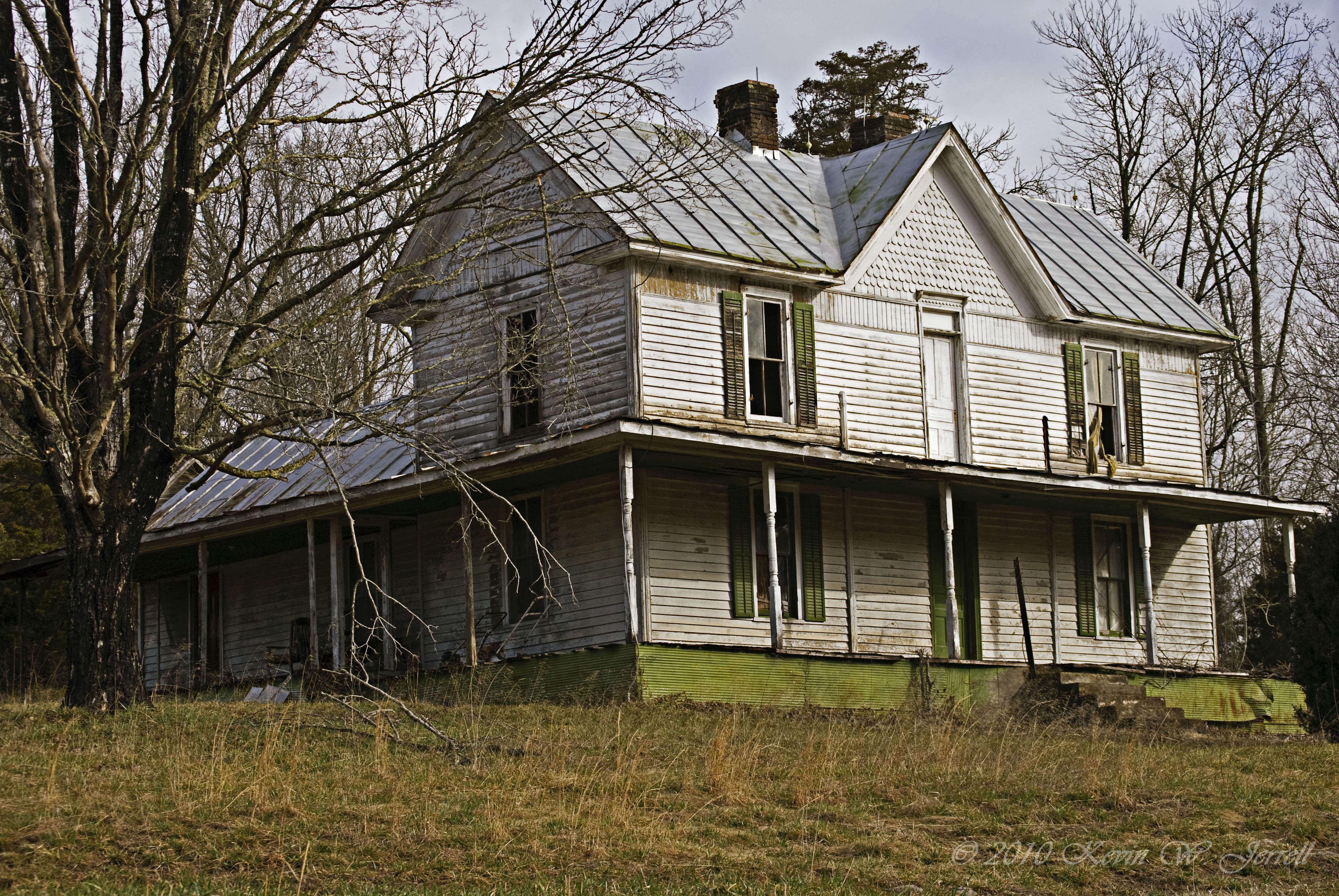
Warming Its Old Bones In The Sun
Maw's Front Porch View
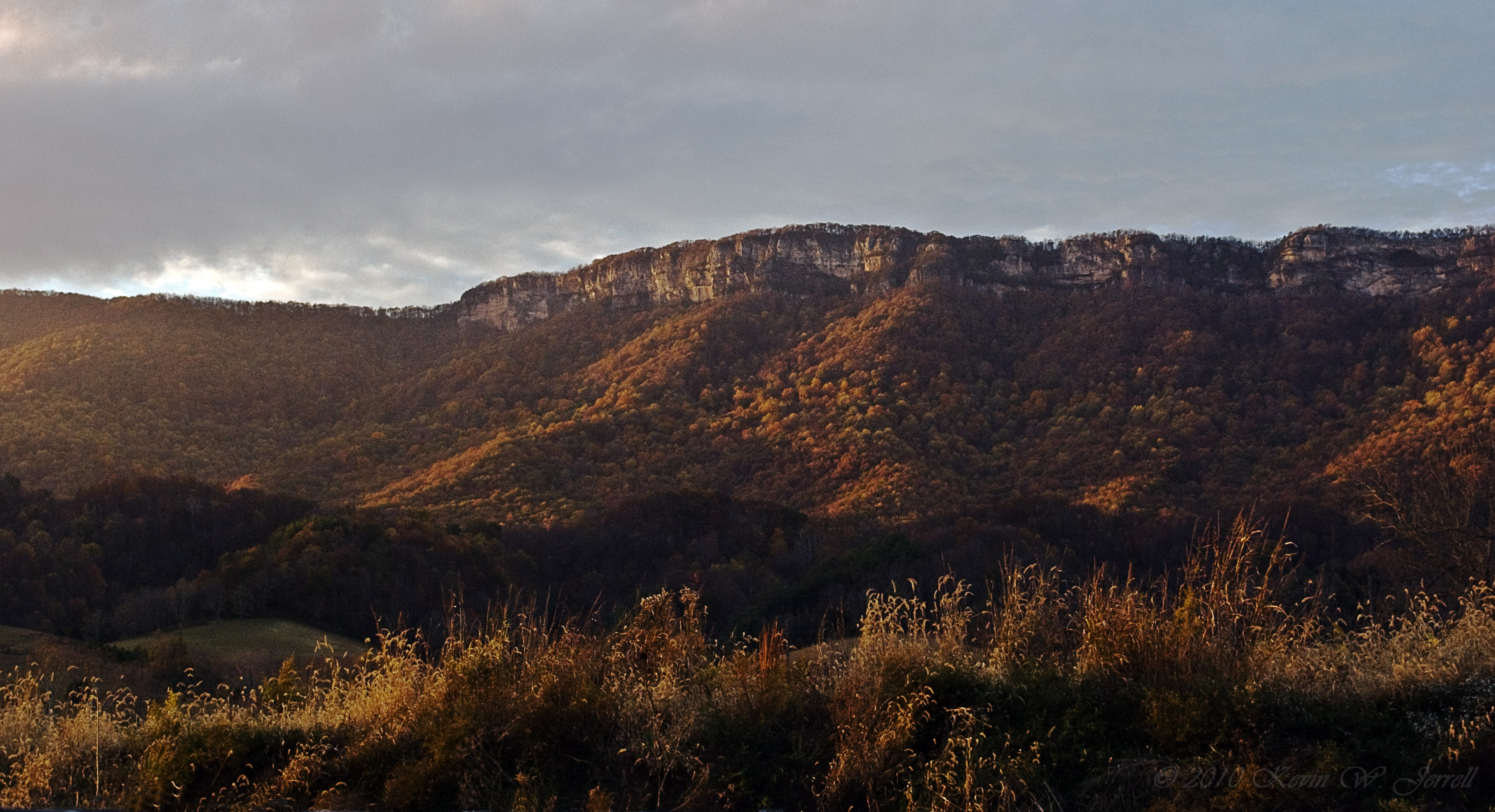
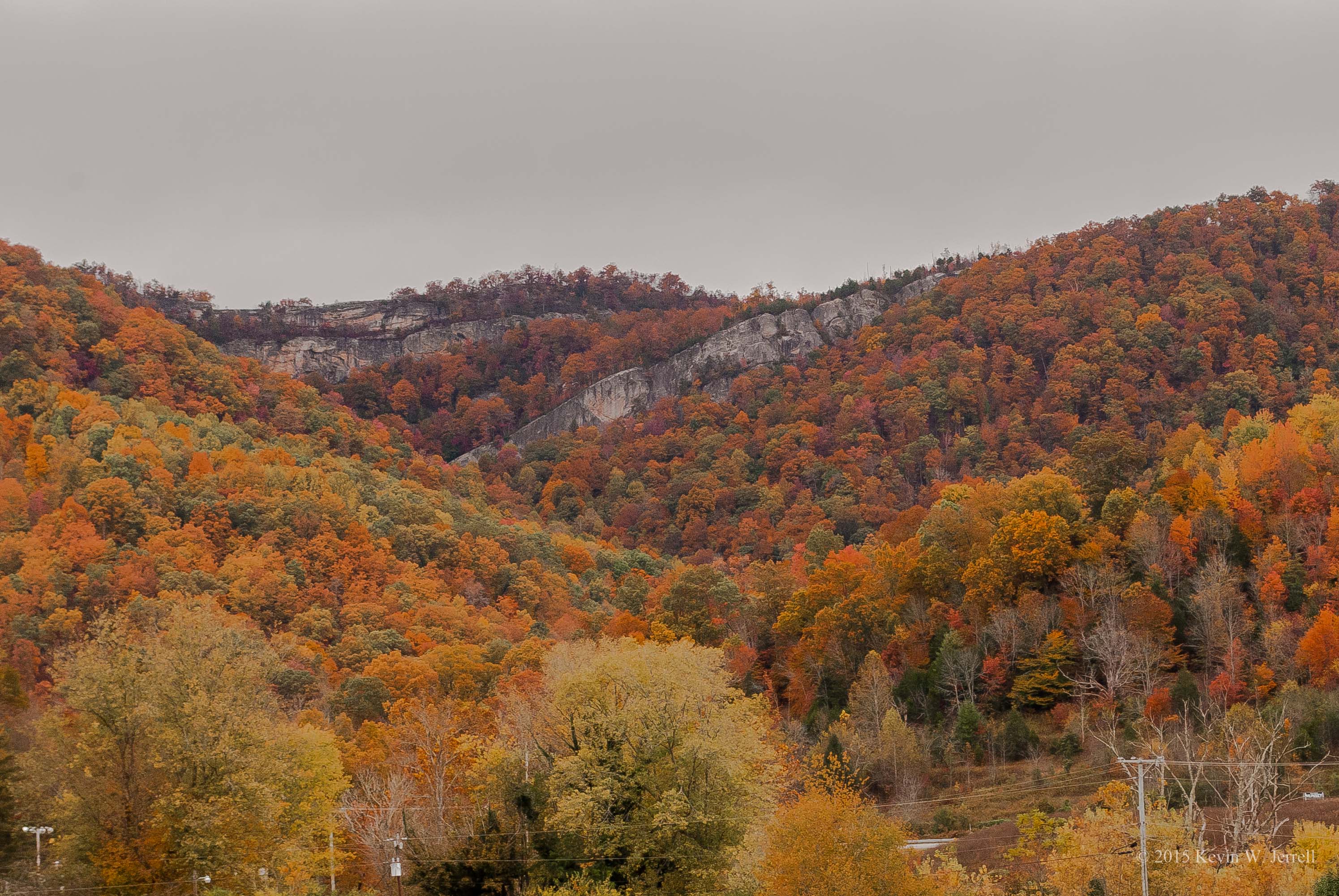
Light On the Rocks
It Fall, Y'all
Breaking Over the Rocks

"If a tree falls in the forest..."
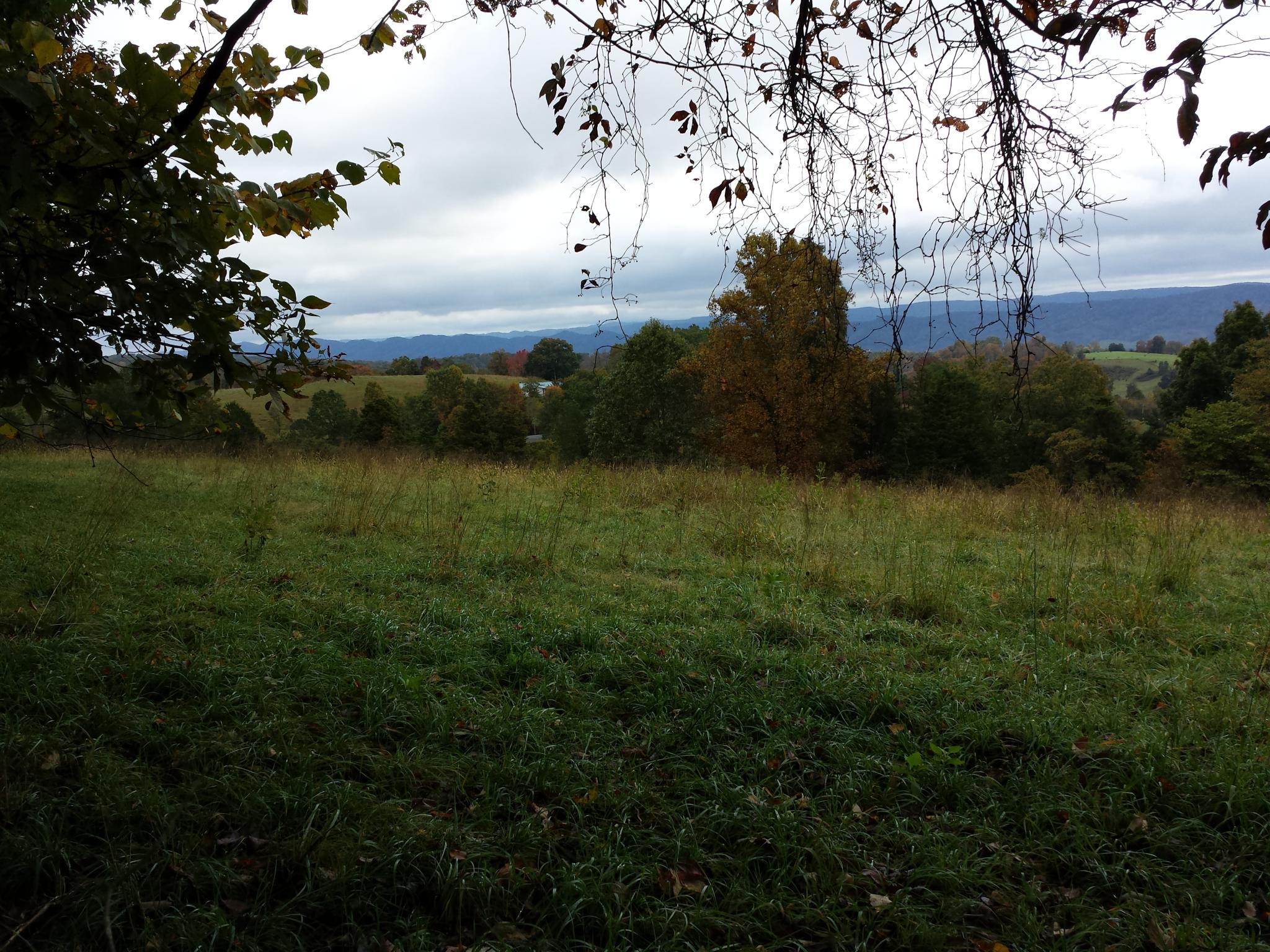
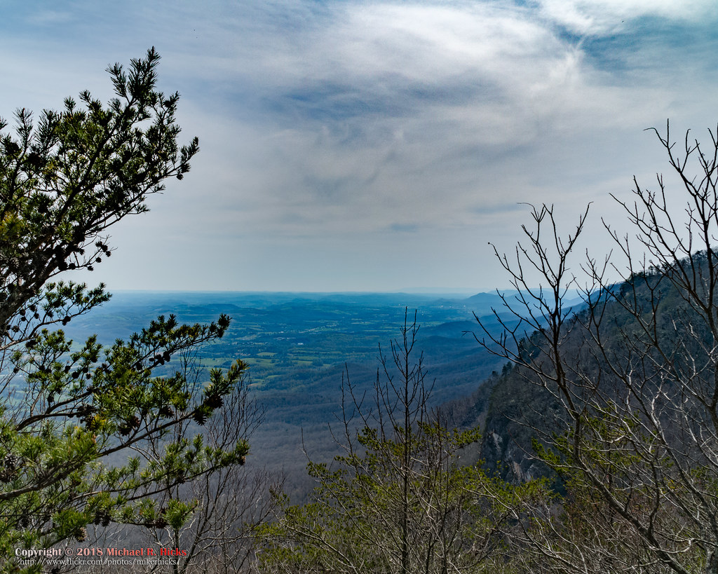
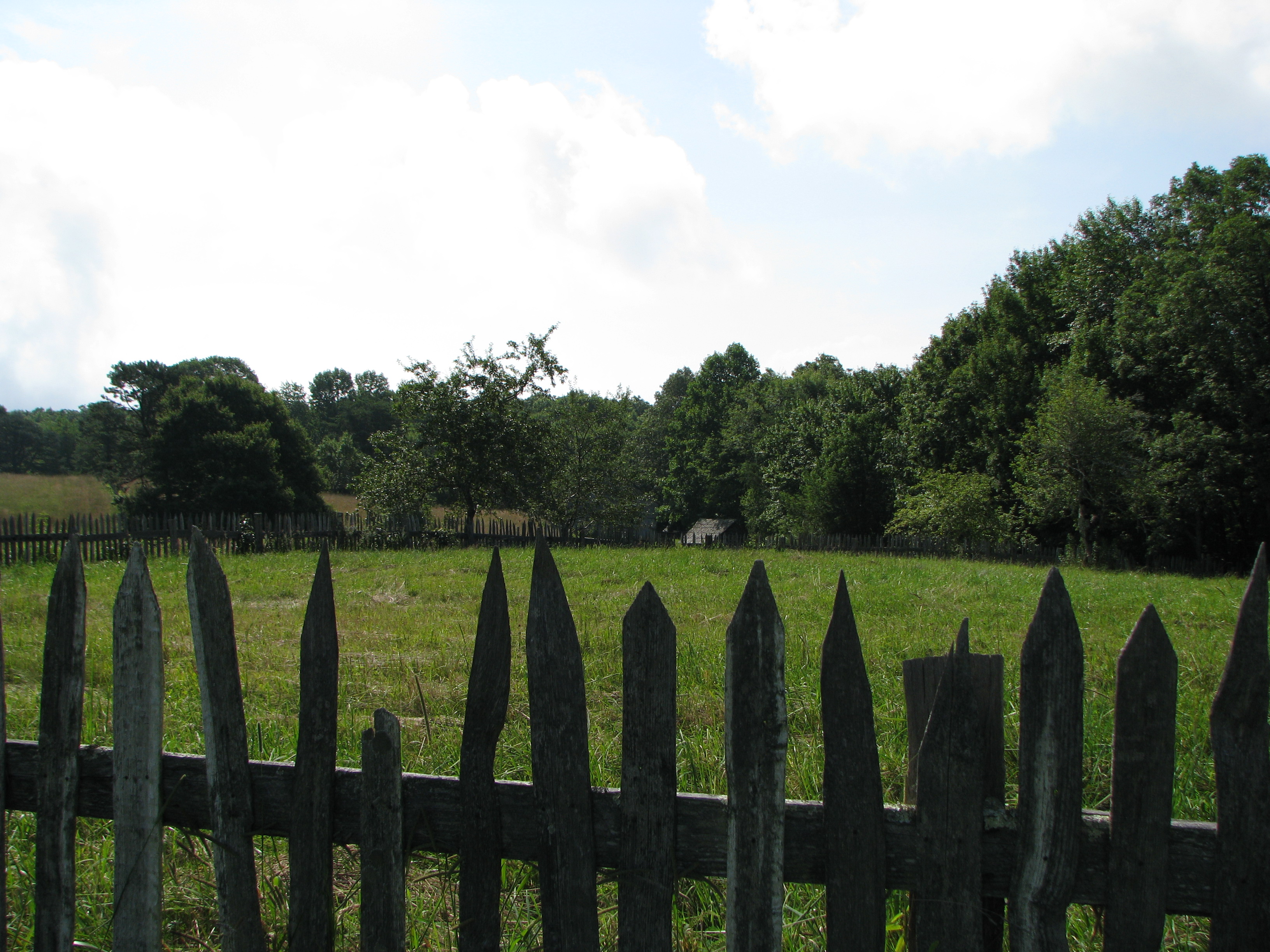
2014-10-16 13.11.45 - This is the view. The field is not part of this property.

2014-10-16 13.11.41 - This is the view. The field is not part of this property.
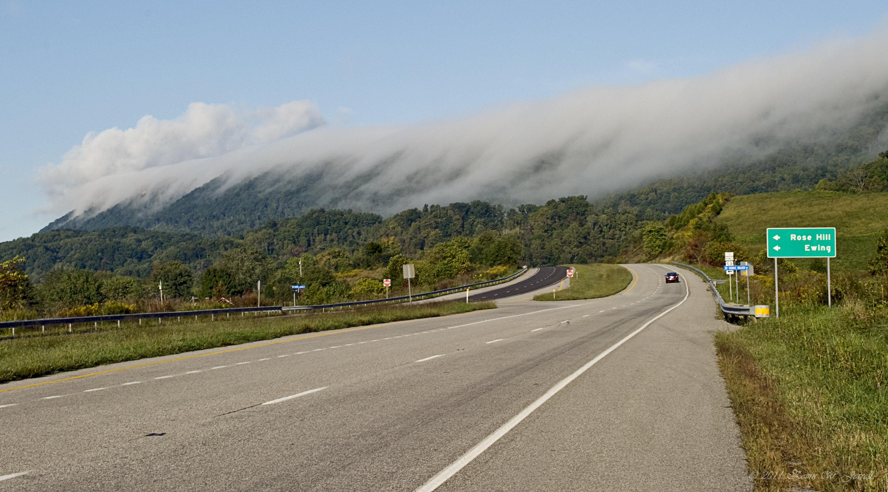
Rose Hill Landmark
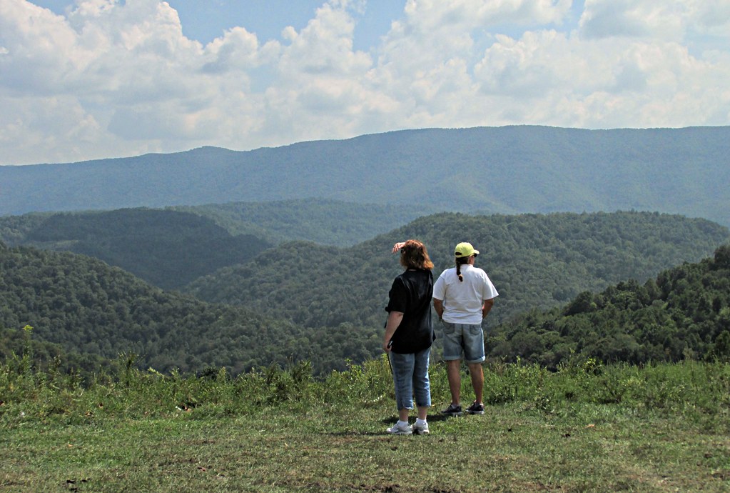
Donna & my cousin Teresa looking at the view
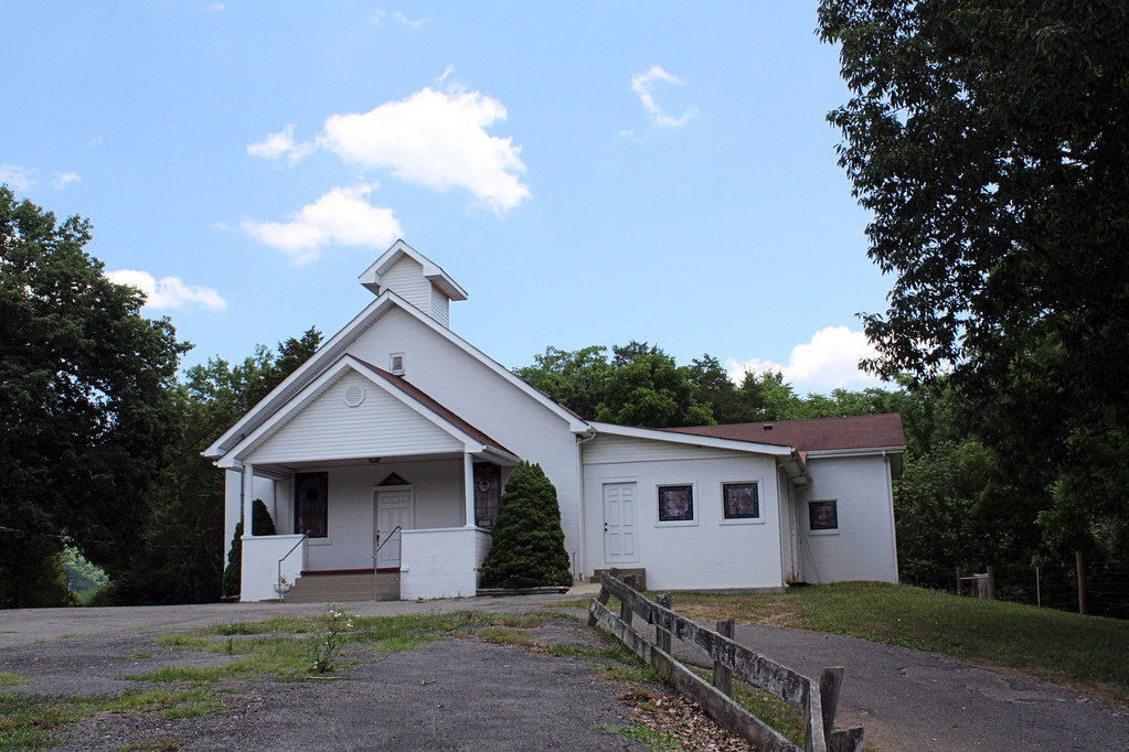
Mountain View Baptist Church
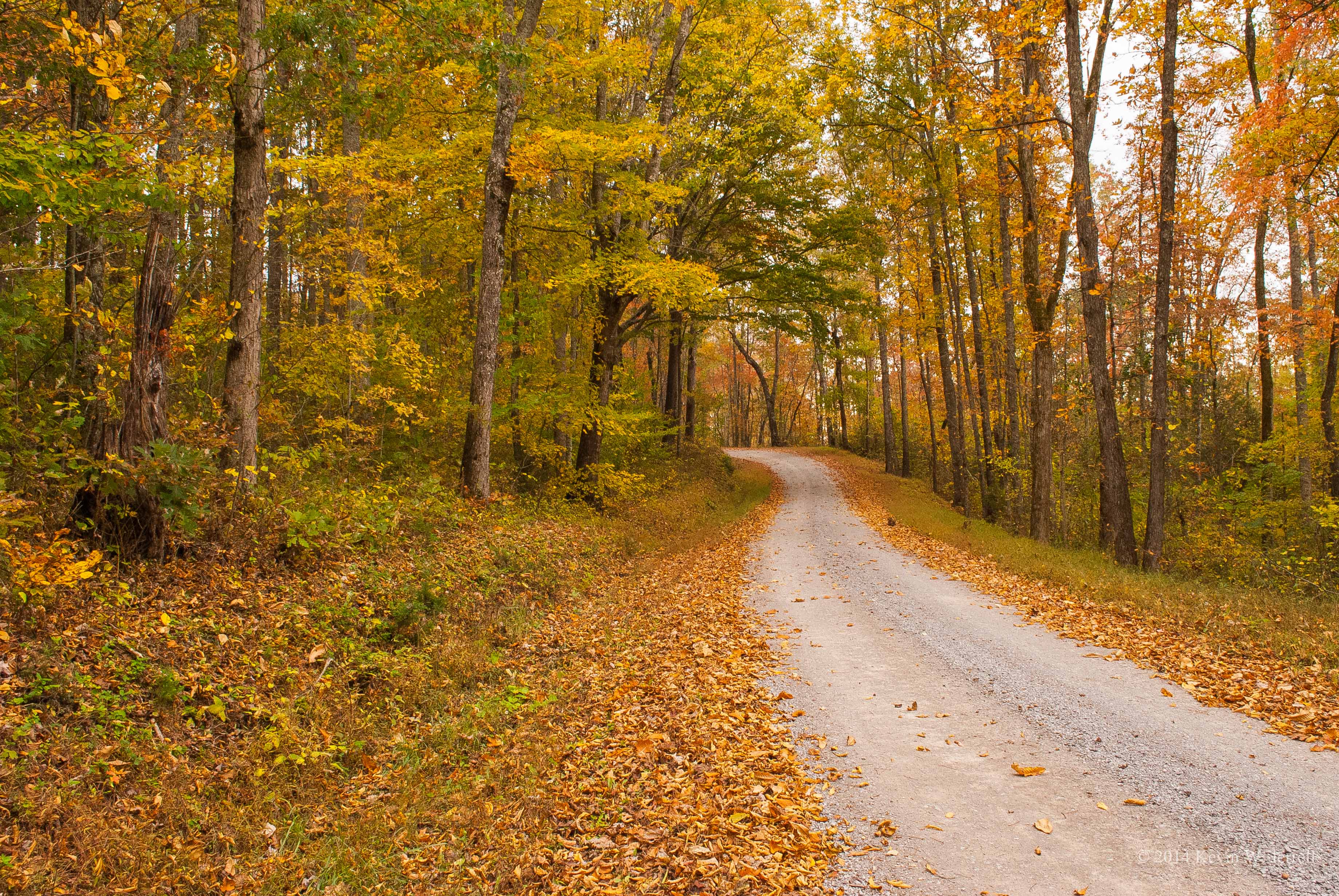
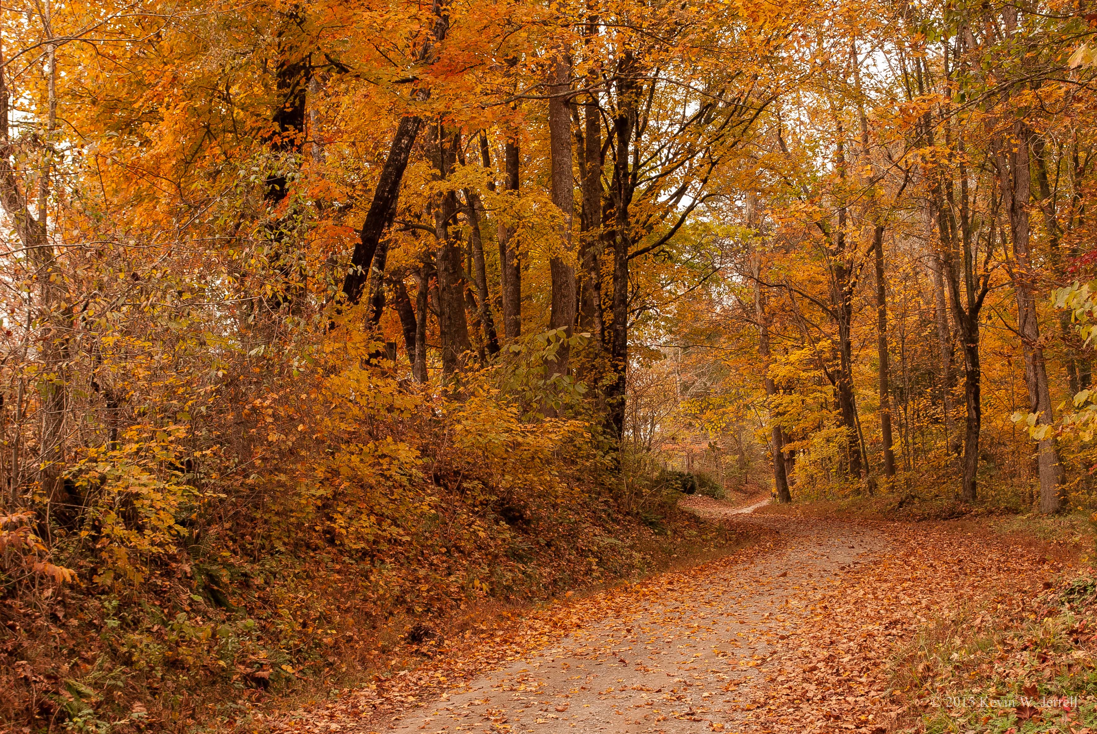
Through the Woods
Rose Dale School Road
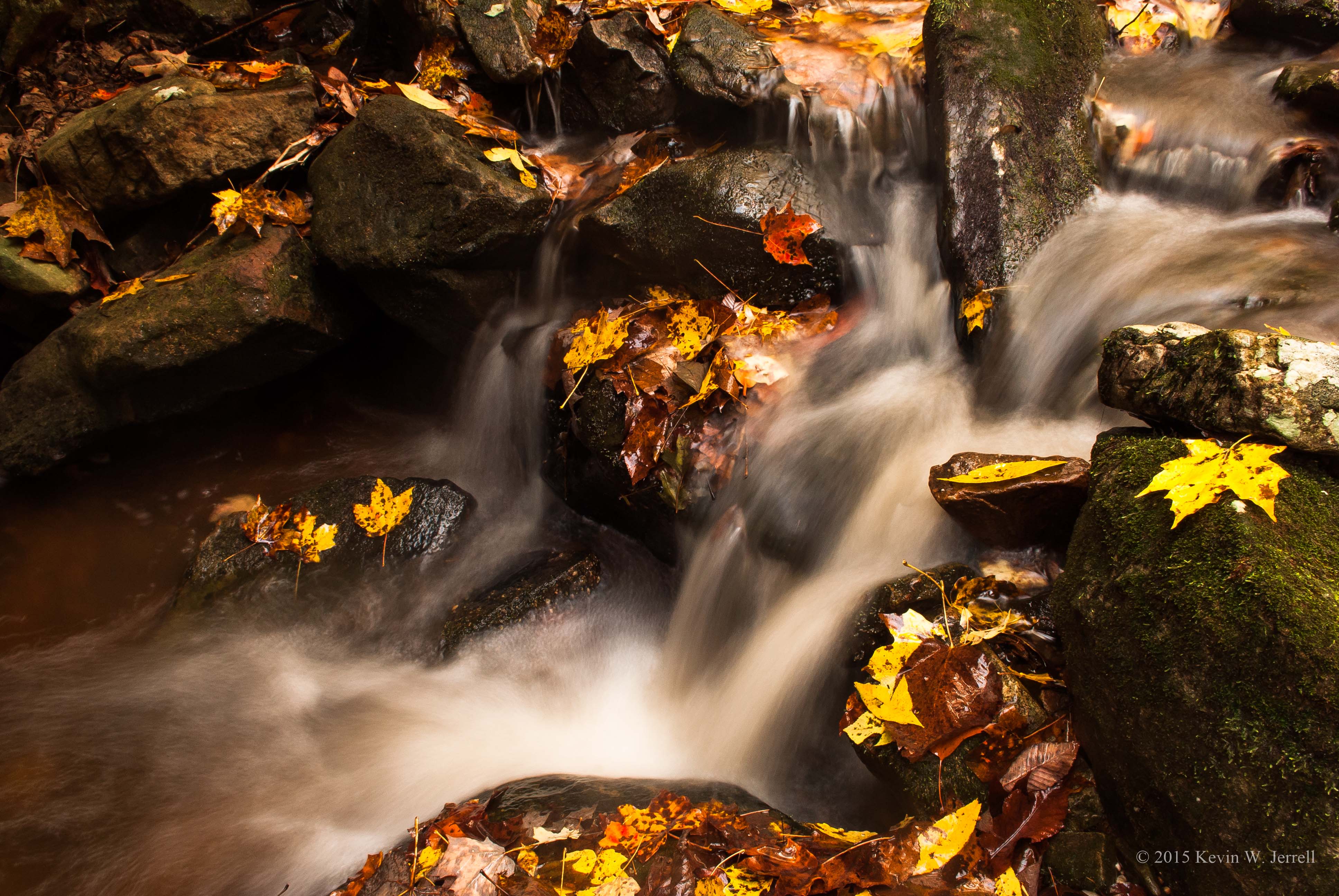
Leaves in the Stream
Pristine Beauty
Chadwell Gap Trail
Hensley Settlement
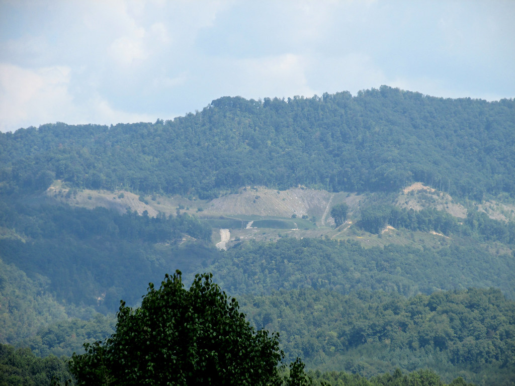
When you look at Google Maps, you can really see that this is part of a strip mine
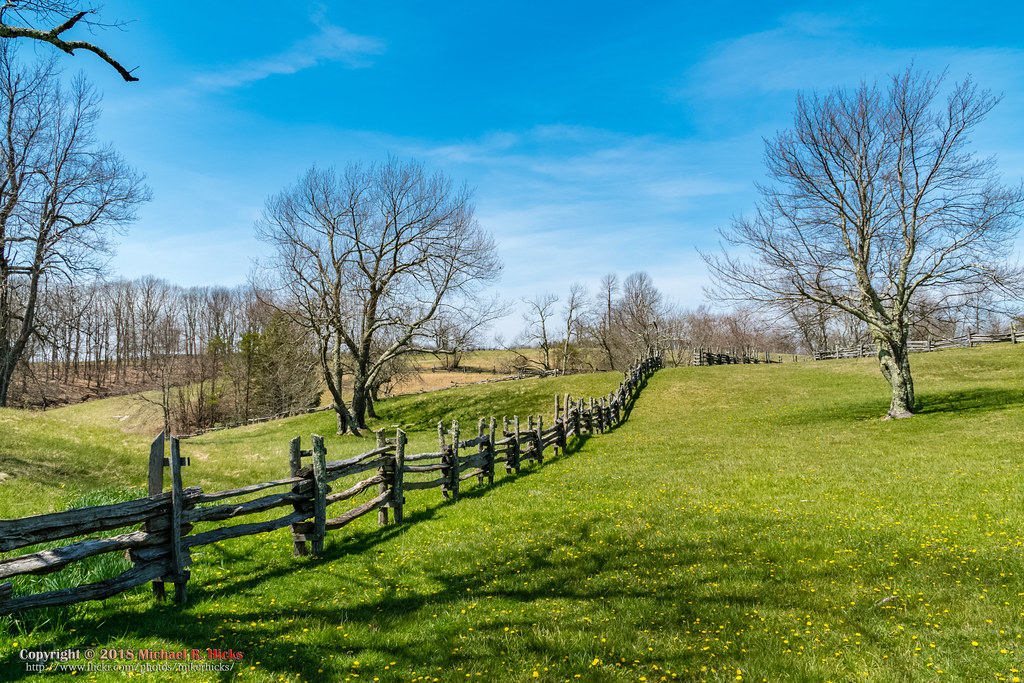
Hensley Settlement

Hensley Settlement
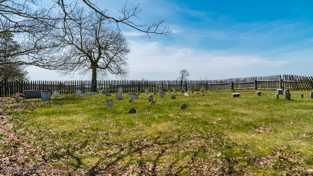
Hensley Settlement Cemetary
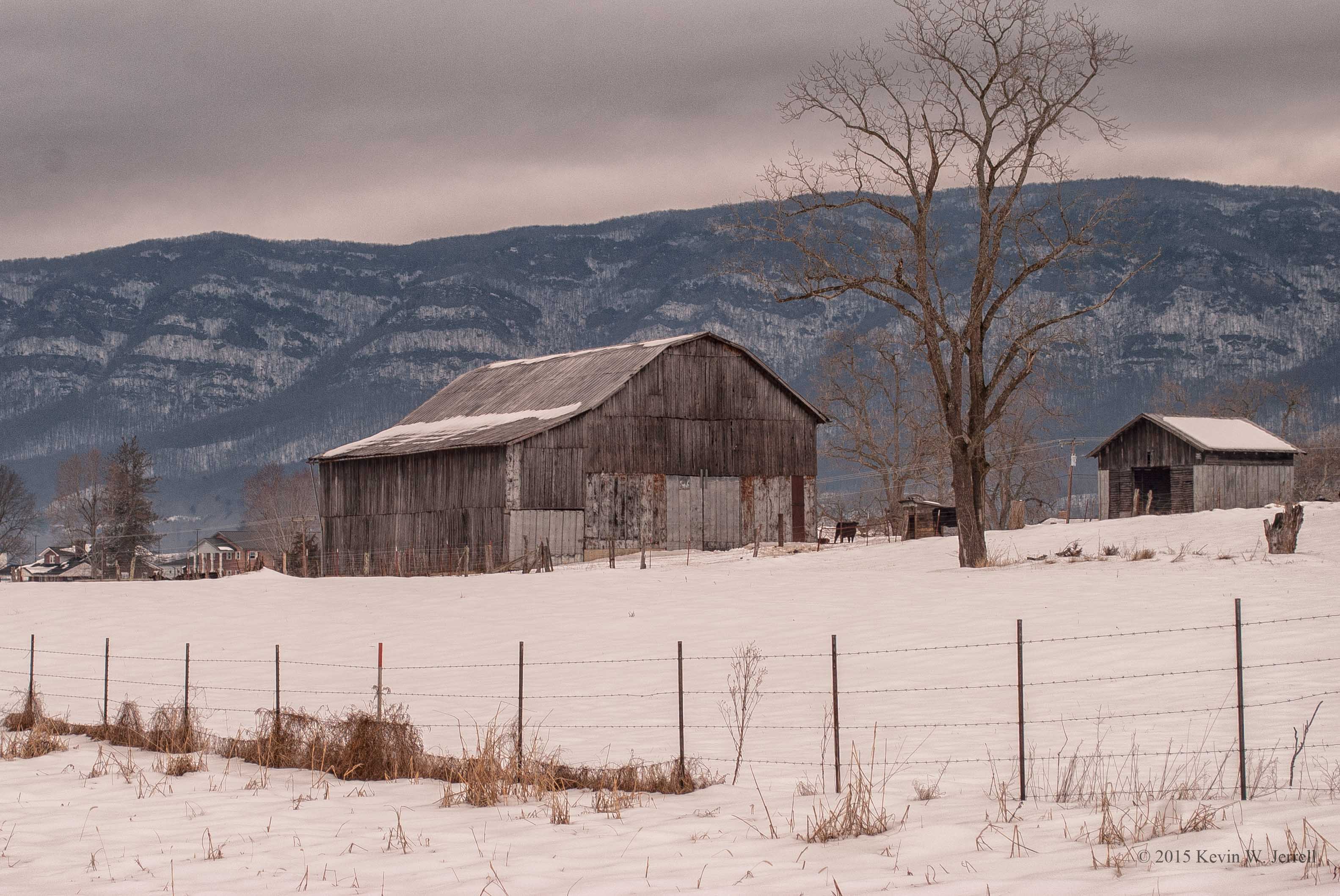
Winter's Day
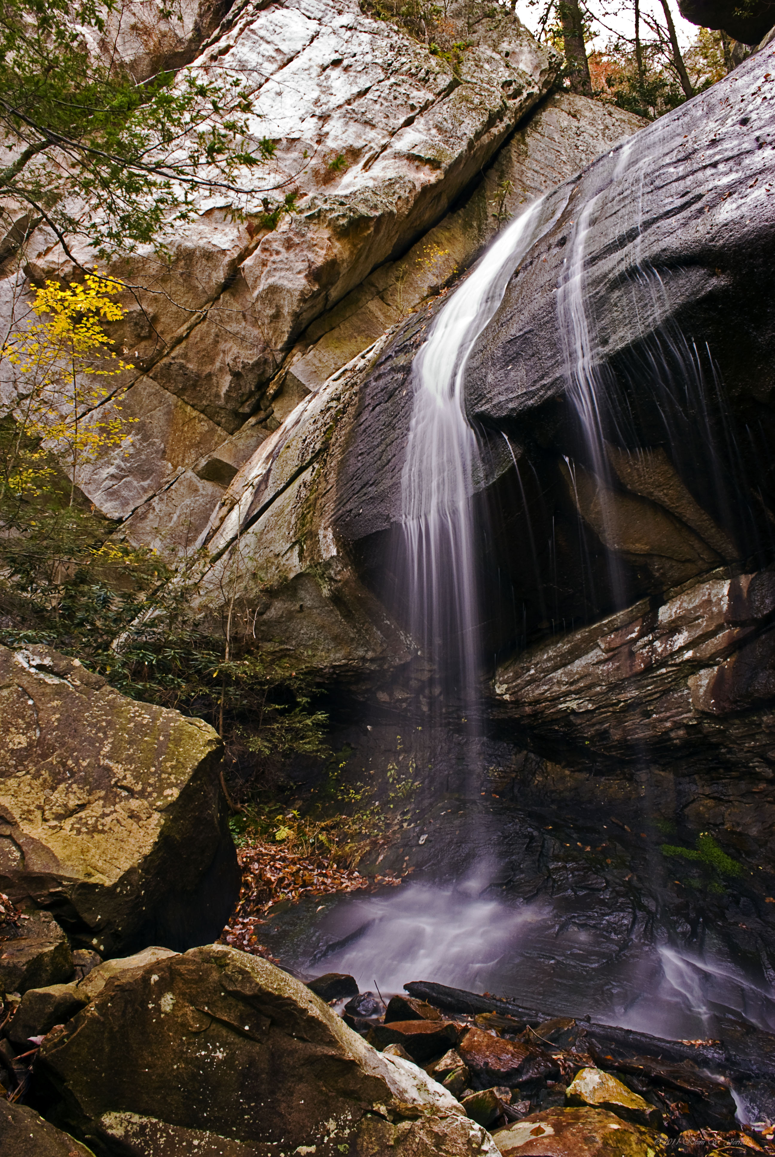
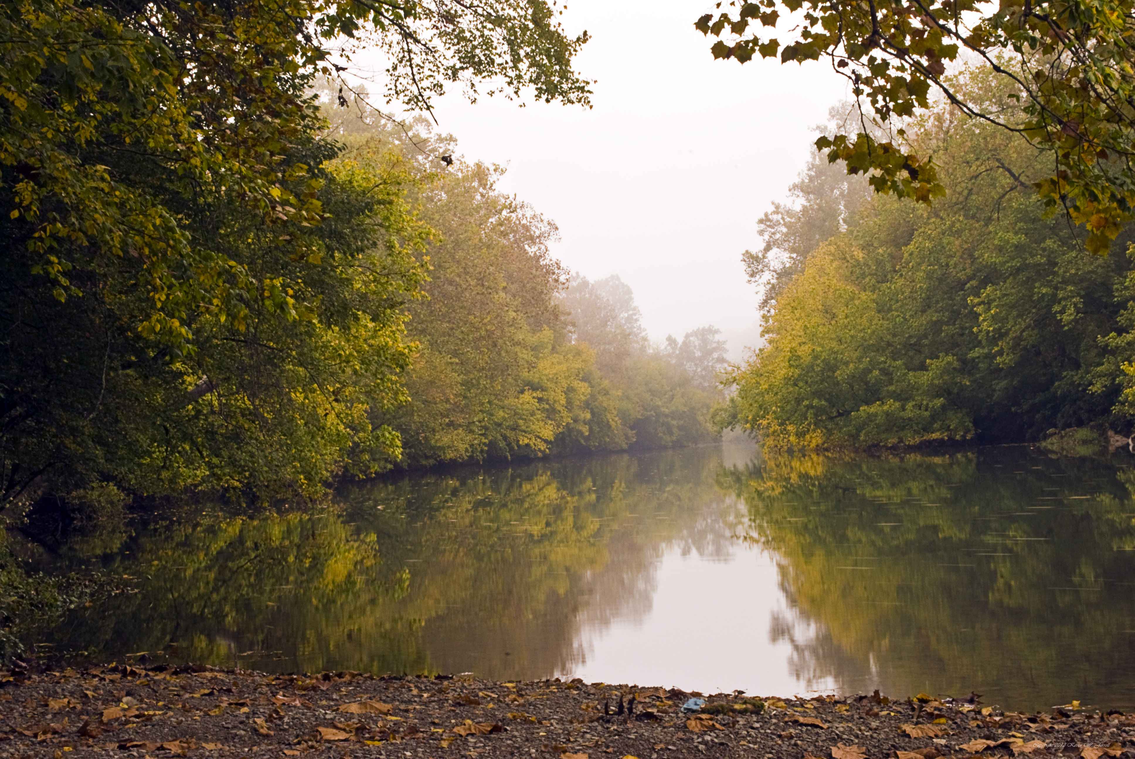
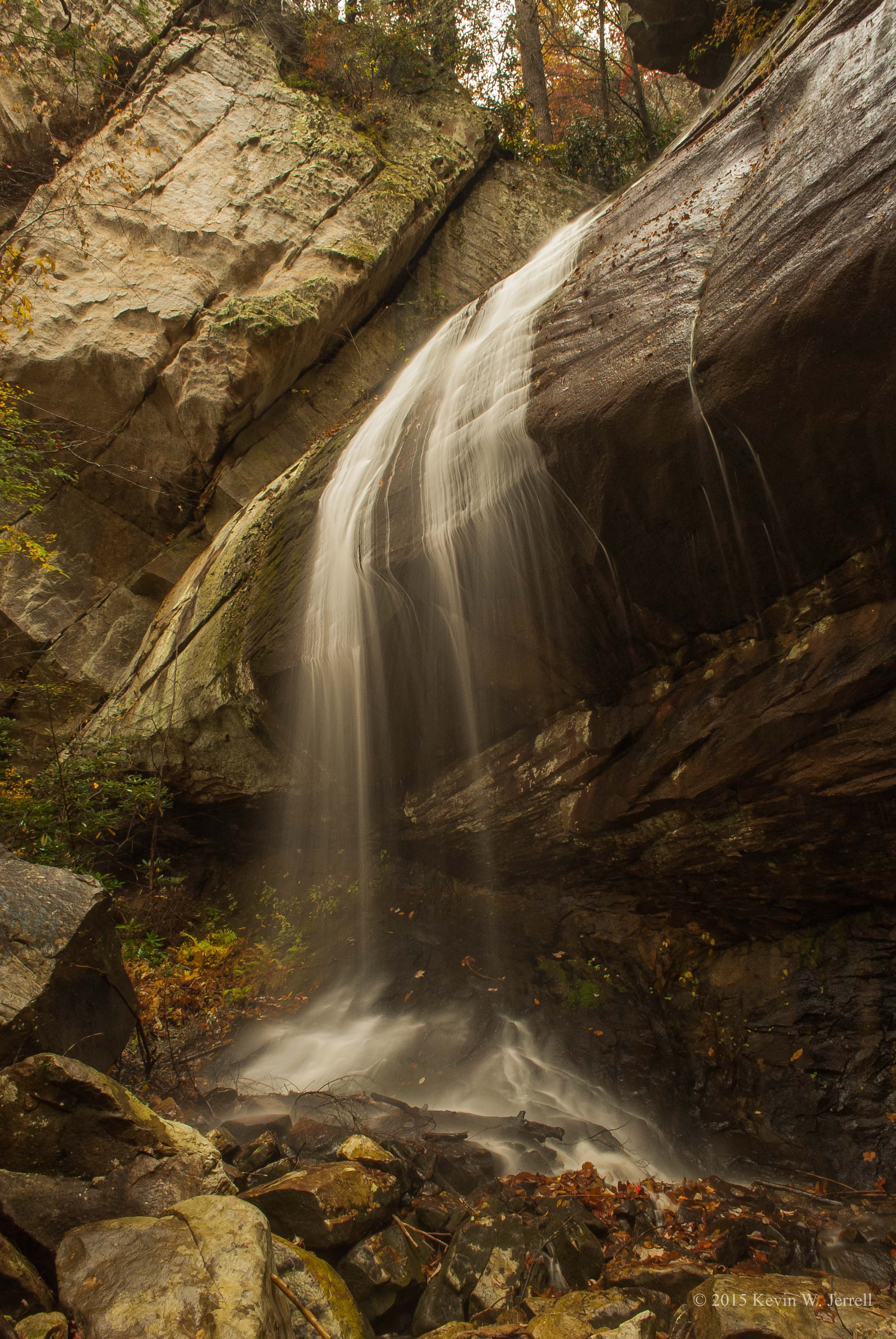
Slow Beauty
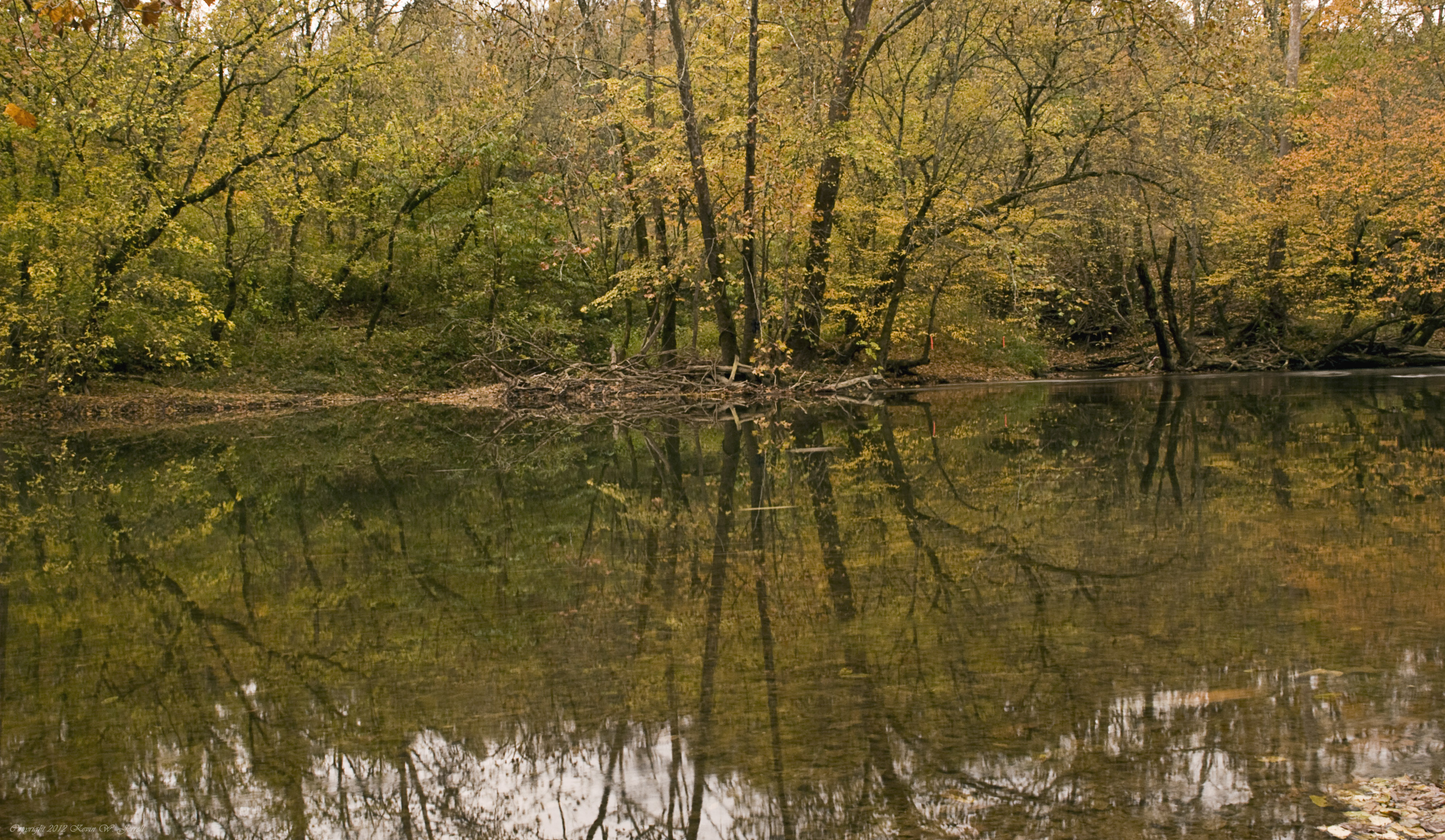
Down By the Riverside

Smooth Water
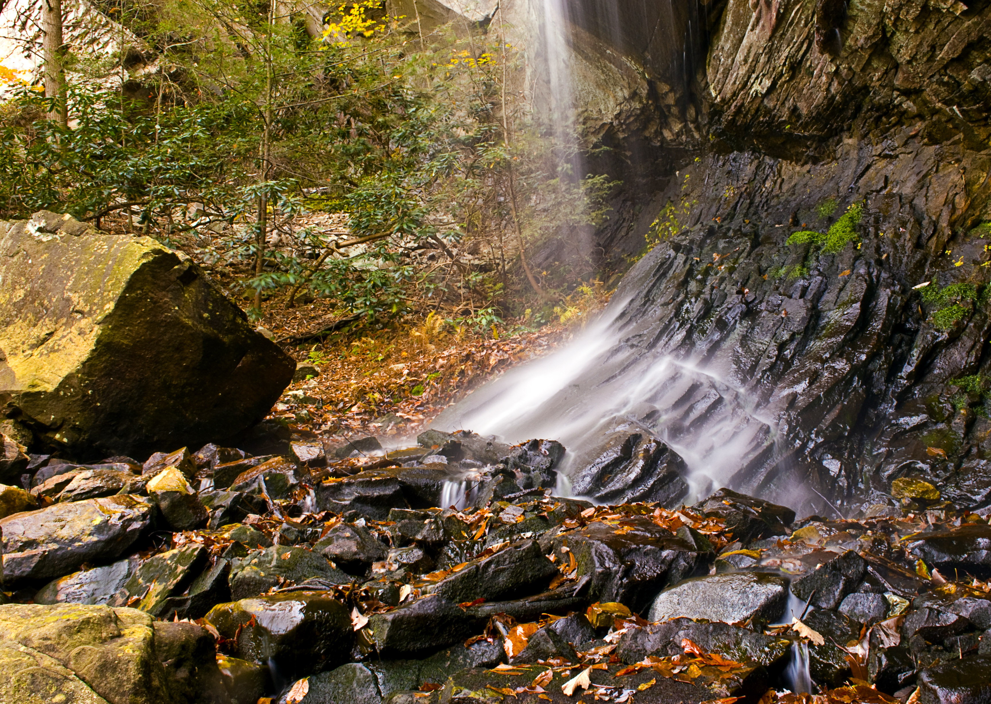
Stone & Water
Along the Creek
Topographic Map of Grandview Dr, Ewing, VA, USA
Find elevation by address:

Places near Grandview Dr, Ewing, VA, USA:
468 Grandview Dr
Daniel Boone Trail, Ewing, VA, USA
1, VA, USA
Ewing
1685 State Rd 685
Mt Zion Rd, Tazewell, TN, USA
Wilderness Road
Wilderness Road State Park
Rose Hill
Ewing Head Start
449 Little Creek Rd
352 Poplar Grove Rd
643 Poplar Grove Rd
644 Poplar Grove Rd
US-58, Ewing, VA, USA
Forge Ridge
Cumberland Gap National Historical Park
Calvin
Williams Branch
147 Oxford Cir
Recent Searches:
- Elevation of Vista Blvd, Sparks, NV, USA
- Elevation of 15th Ave SE, St. Petersburg, FL, USA
- Elevation of Beall Road, Beall Rd, Florida, USA
- Elevation of Leguwa, Nepal
- Elevation of County Rd, Enterprise, AL, USA
- Elevation of Kolchuginsky District, Vladimir Oblast, Russia
- Elevation of Shustino, Vladimir Oblast, Russia
- Elevation of Lampiasi St, Sarasota, FL, USA
- Elevation of Elwyn Dr, Roanoke Rapids, NC, USA
- Elevation of Congressional Dr, Stevensville, MD, USA