Elevation of Bell County, KY, USA
Location: United States > Kentucky >
Longitude: -83.634843
Latitude: 36.741122
Elevation: 461m / 1512feet
Barometric Pressure: 96KPa
Elevation Map:
Satellite Map:
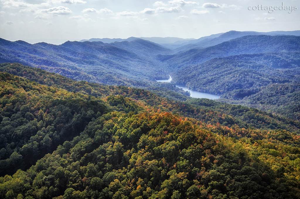
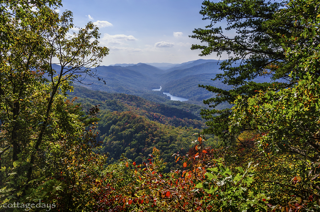
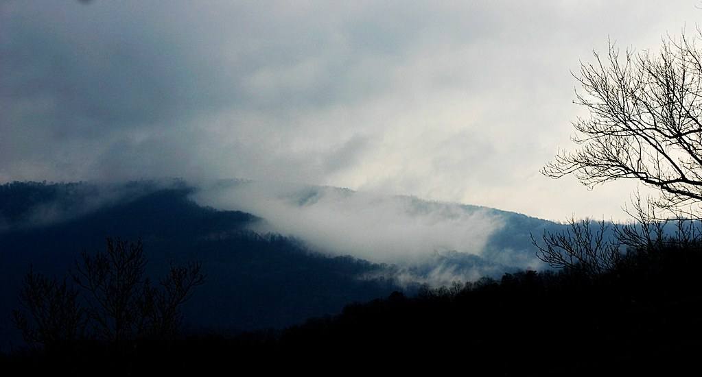
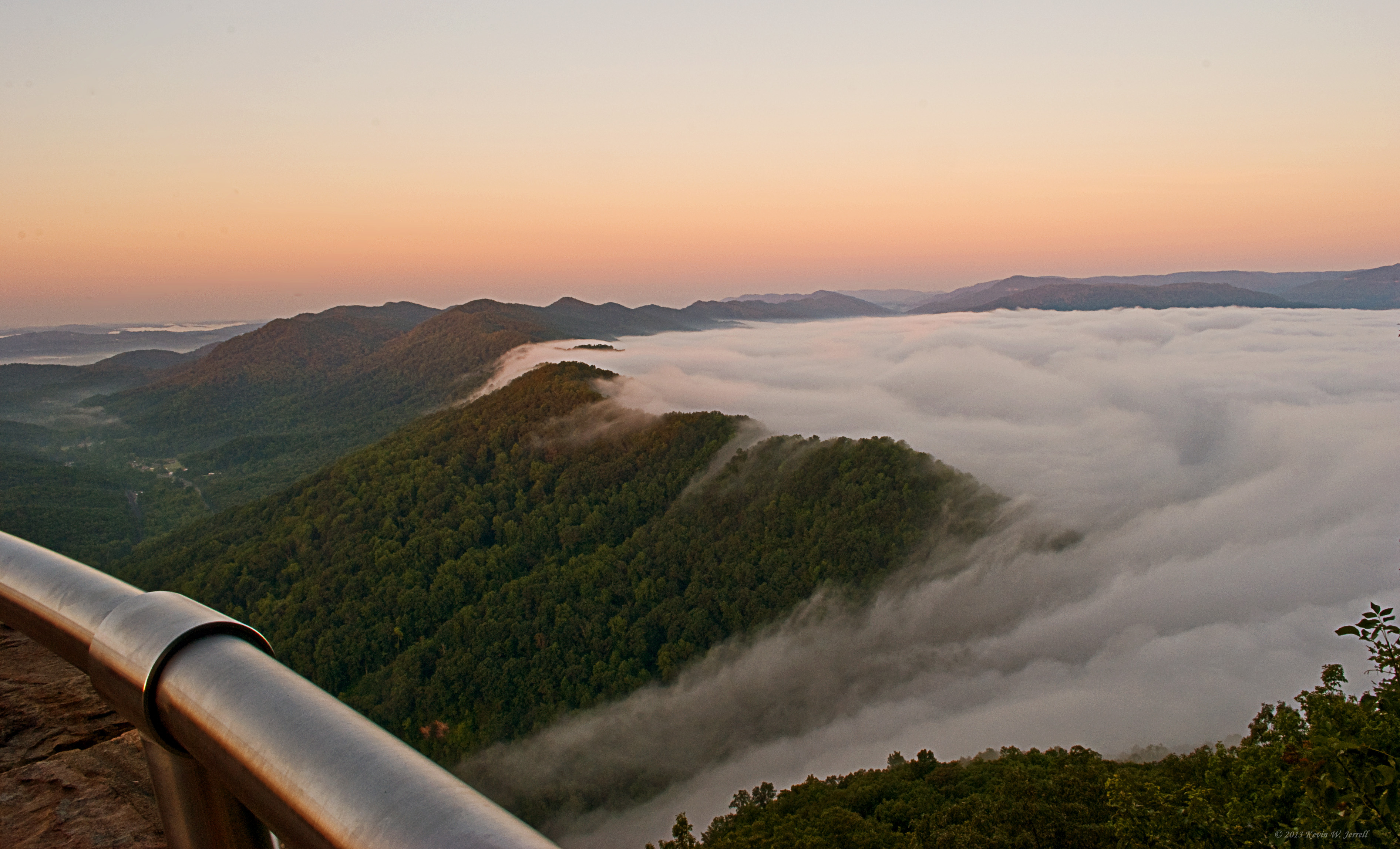
Related Photos:

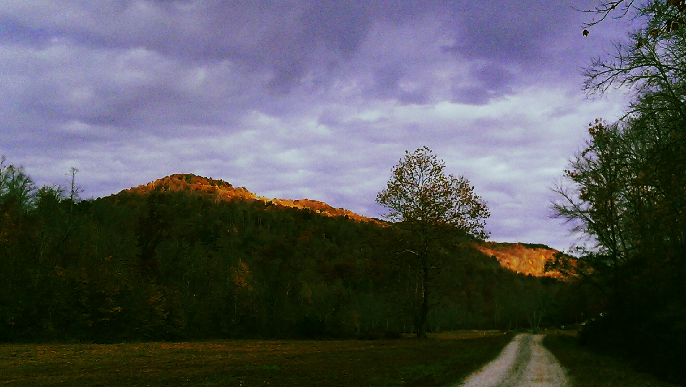
Mountain Sunrise

Cabin View.

A Wave Goodbye

Down on the Rail

View From The Pinnacle V
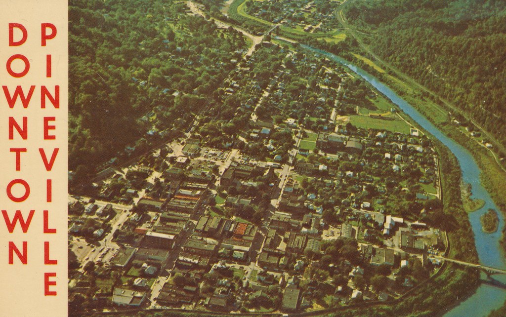
Pineville, Kentucky

Something Evil This Way Comes..

COUNTRY BARN

Over the Gap

The Chain Of "Chain Rock" (Pineville, KY) III
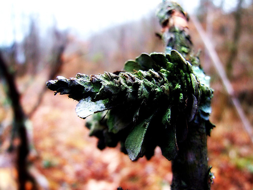
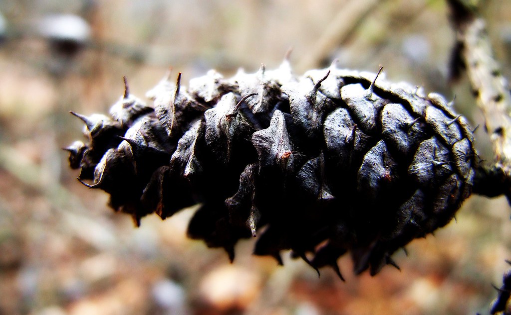
Lichen Consuming a Pine Cone.....

Heavy Weather

Sun Going Behind The Clouds Ⅵ
aerial view of Harrogate, TN
The Shapes of Nature

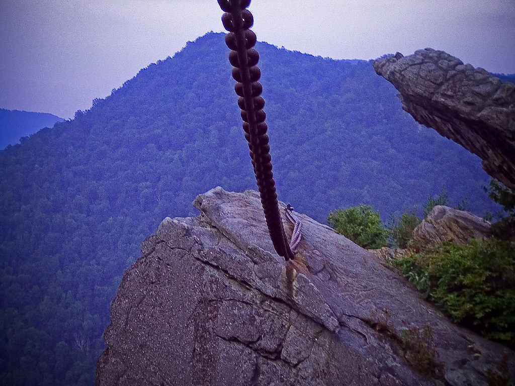
Chain from Chained Rock Trail
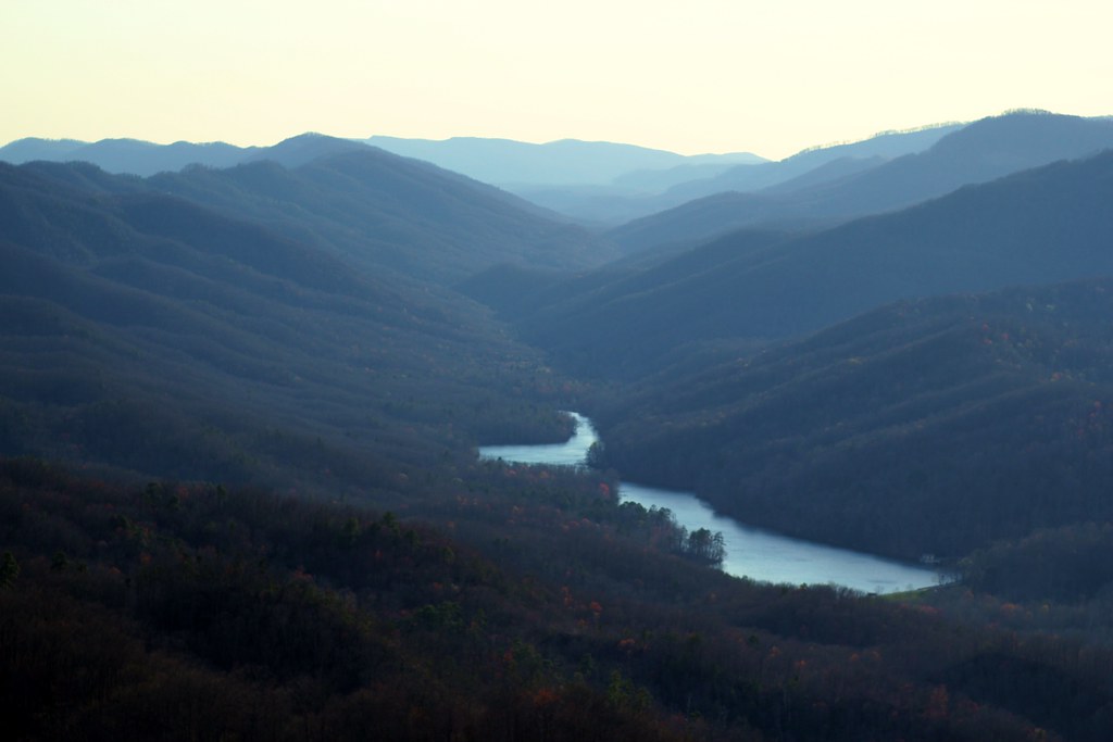
Tri-State Peak and Fern Lake
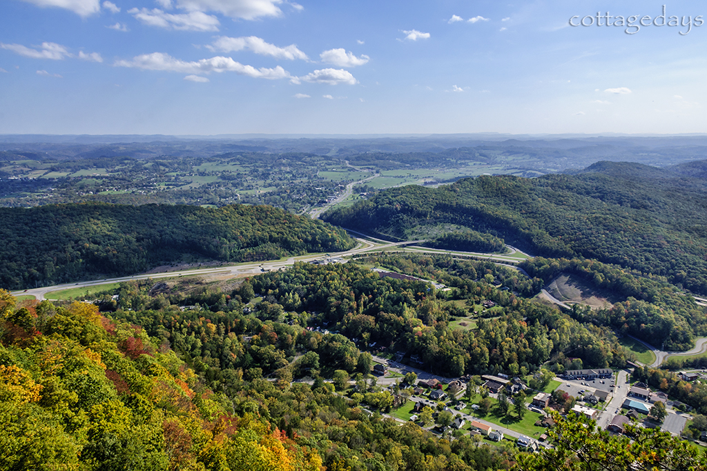
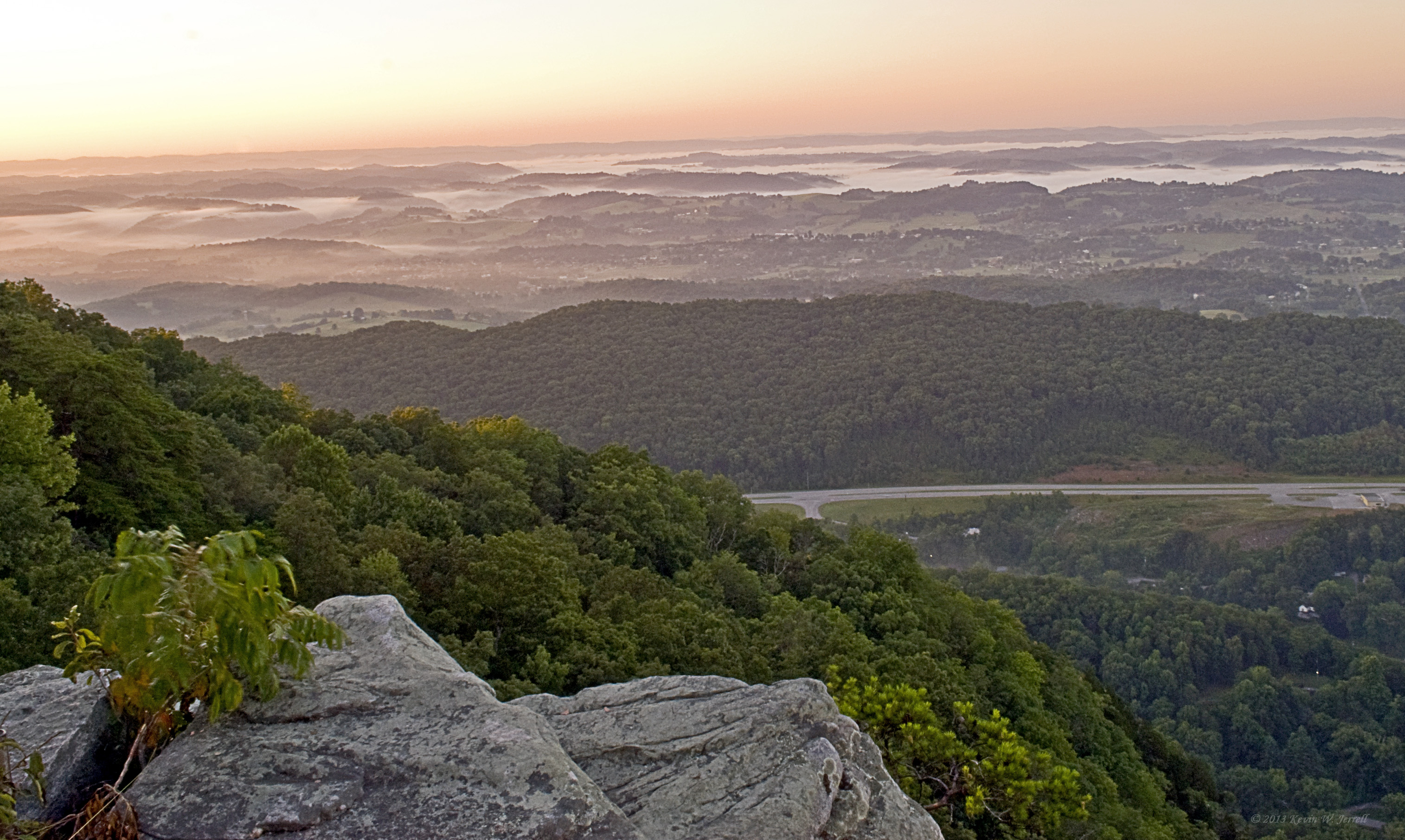
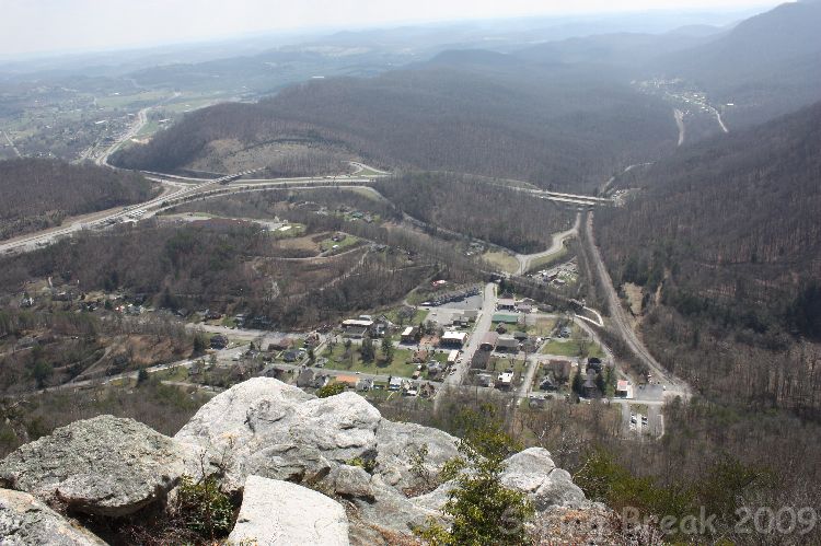
mountain view from Pinnacle Overlook

Sun Going Behind The Clouds Ⅶ
Smoke on the Mountain (Where there is smoke there is fire!)

Sun Going Behind The Clouds Ⅷ
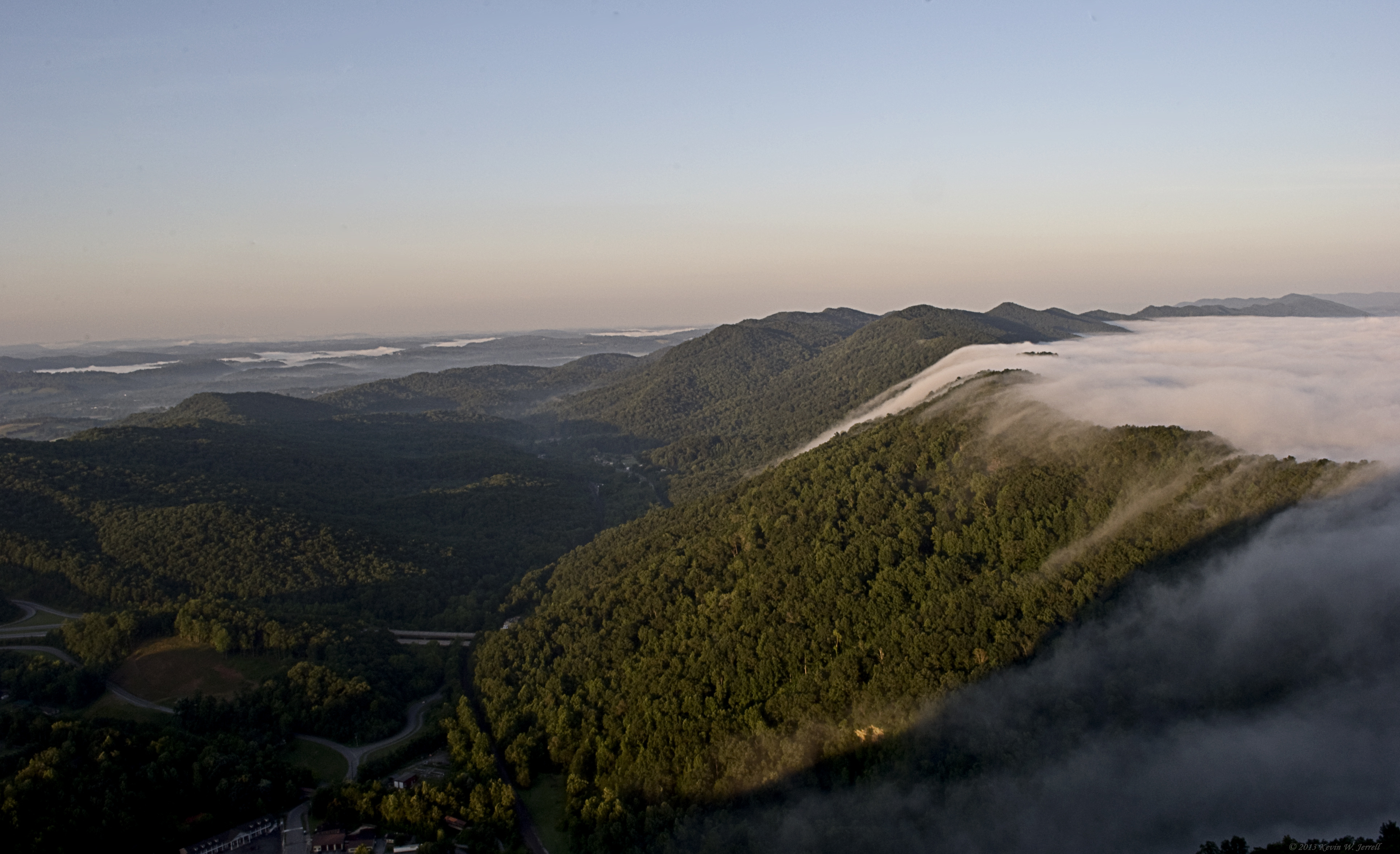
Bowl Full of Fog
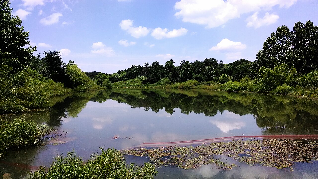
Mountain Drive Pond

Chain Rock
Pinnacle View

Old Foot Bridge.
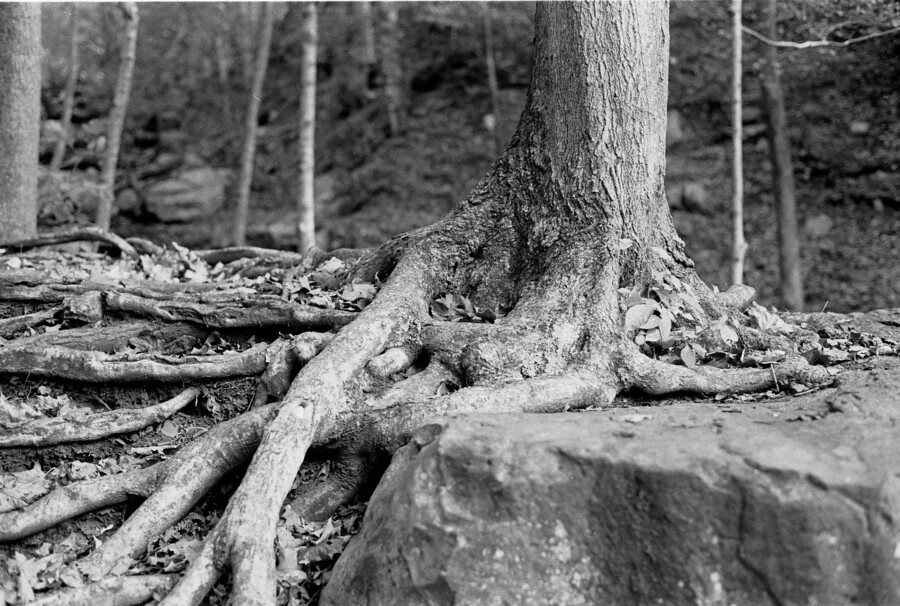
Roots and Rock
Fog in the Valley
The Road Home
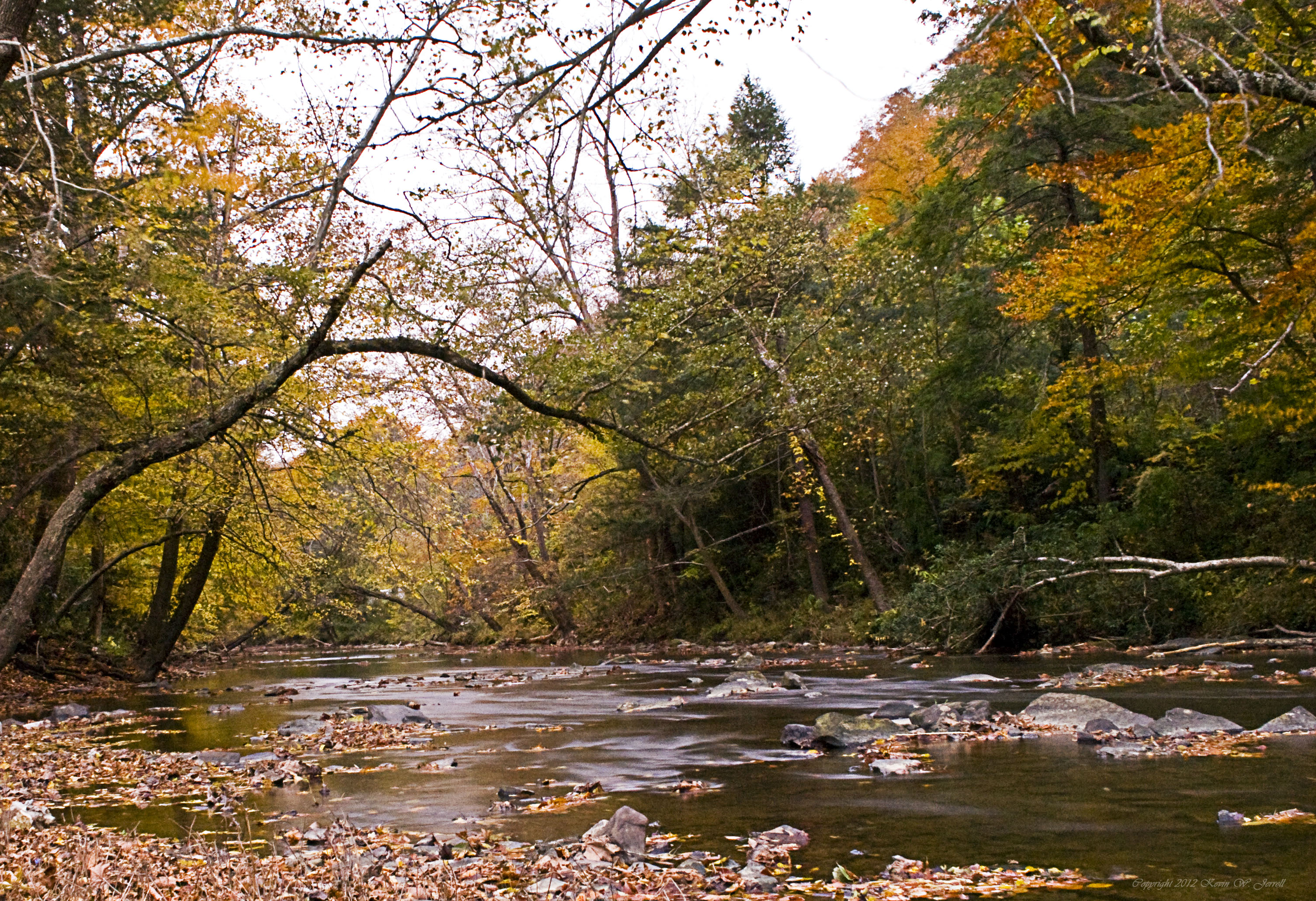
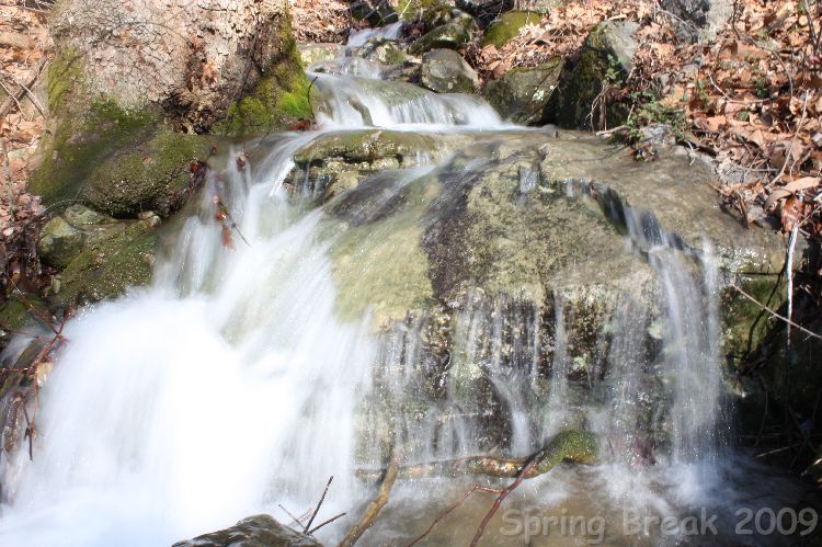
Yellow Creek
Bristol TN/VA April 2011
The Chain Of "Chain Rock" (Pineville, KY) I

Bell County, Kentucky

Gap Creek 24, Cumberland Gap TN 1-24-2014

#sunset #sunsets #sunsetlovers
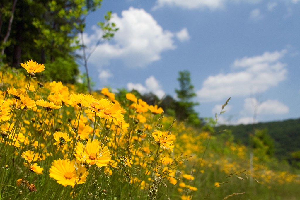
A Hillside of Yellow
The Pinnacle

Fog Over The Mountains
Cumberland Gap, TN

New Hazewell-12
Topographic Map of Bell County, KY, USA
Find elevation by address:

Places in Bell County, KY, USA:
Places near Bell County, KY, USA:
Middlesborough, Ky
Browning Loop Spur
Mo Green Road
Calvin
Old Bell High Loop
Williams Branch
1 Wilderness Trail, Pineville, KY, USA
US-, Pineville, KY, USA
Pineville
Under His Wings Family Center
Pine St, Pineville, KY, USA
Chain Rock
State Hwy, Middlesboro, KY, USA
Pine Mountain State Resort Park
Hulen
Cumberland Gap National Historical Park
Old Highway 119
State Highway 72
1789 Us-25e Scenic
Pinnacle Overlook Parking Lot
Recent Searches:
- Elevation of Corso Fratelli Cairoli, 35, Macerata MC, Italy
- Elevation of Tallevast Rd, Sarasota, FL, USA
- Elevation of 4th St E, Sonoma, CA, USA
- Elevation of Black Hollow Rd, Pennsdale, PA, USA
- Elevation of Oakland Ave, Williamsport, PA, USA
- Elevation of Pedrógão Grande, Portugal
- Elevation of Klee Dr, Martinsburg, WV, USA
- Elevation of Via Roma, Pieranica CR, Italy
- Elevation of Tavkvetili Mountain, Georgia
- Elevation of Hartfords Bluff Cir, Mt Pleasant, SC, USA