Elevation of Whitmore Mountain, Washington, USA
Location: United States > Washington > Okanogan County > Okanogan >
Longitude: -119.24725
Latitude: 48.1795968
Elevation: 1184m / 3885feet
Barometric Pressure: 88KPa
Elevation Map:
Satellite Map:
Related Photos:
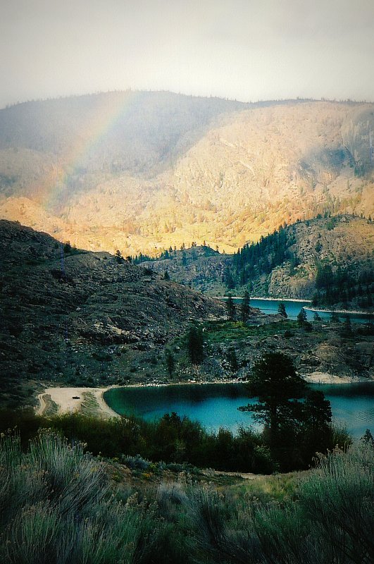
"Lake Roosevelt Nat'l Rec. Area" pic#3

Omak lake
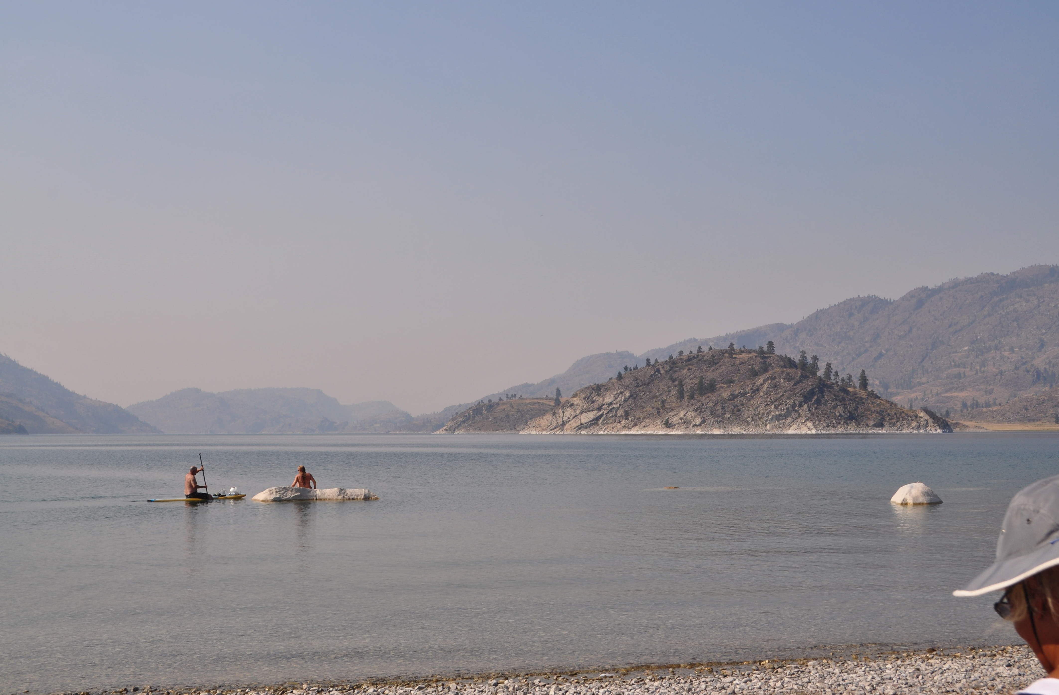
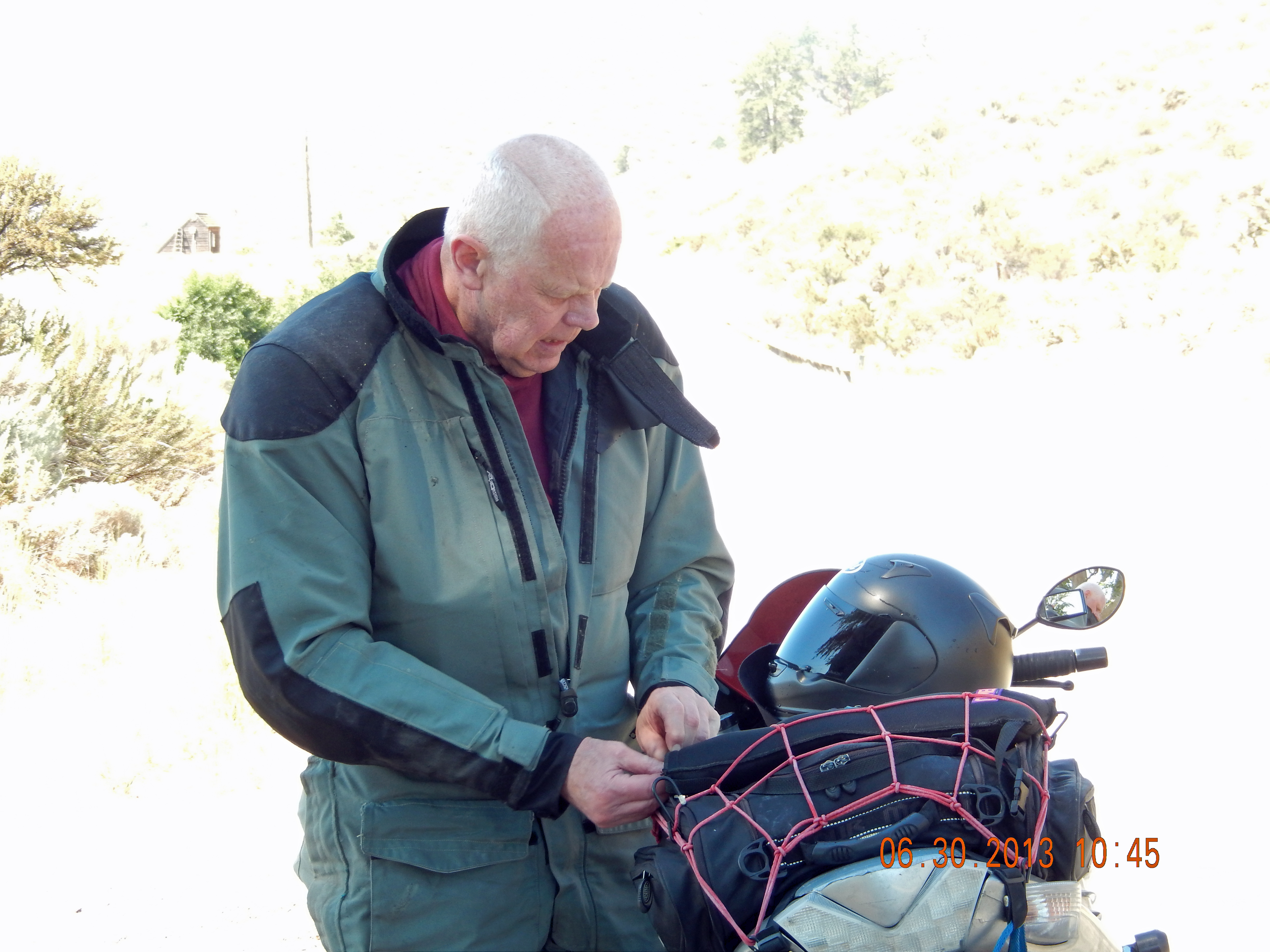
Sun, private rock, and beverage service
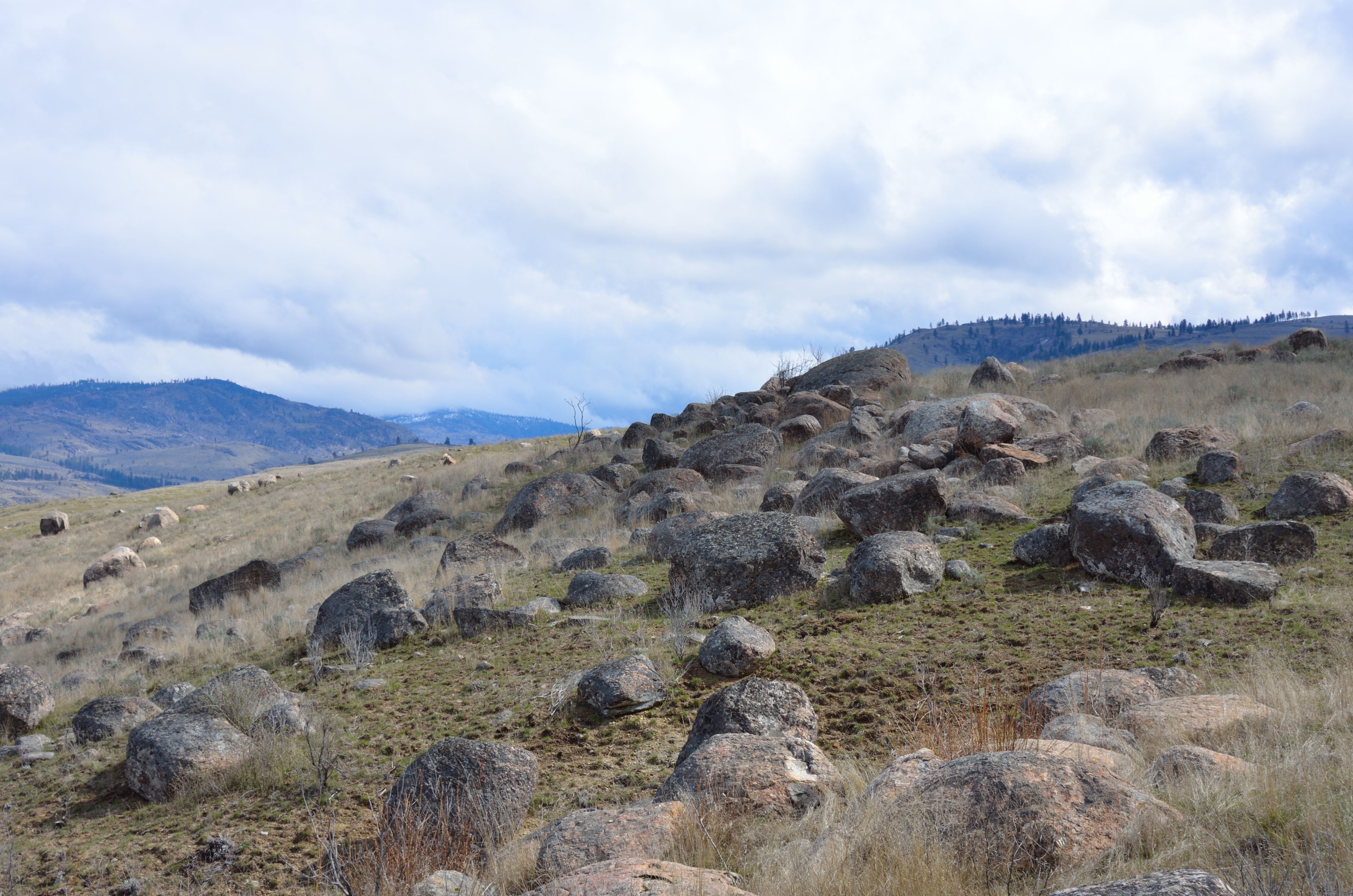
More glacial debris
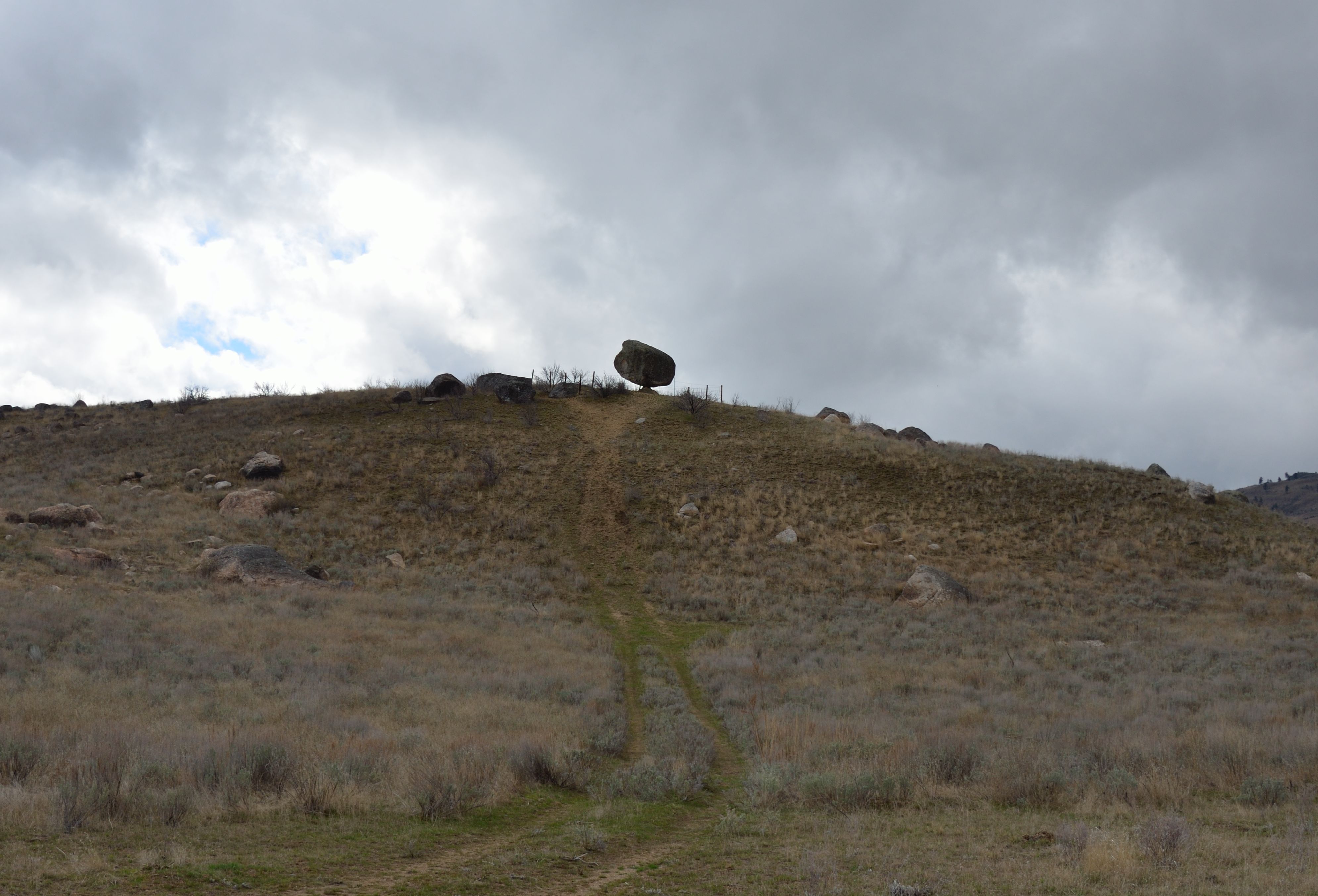
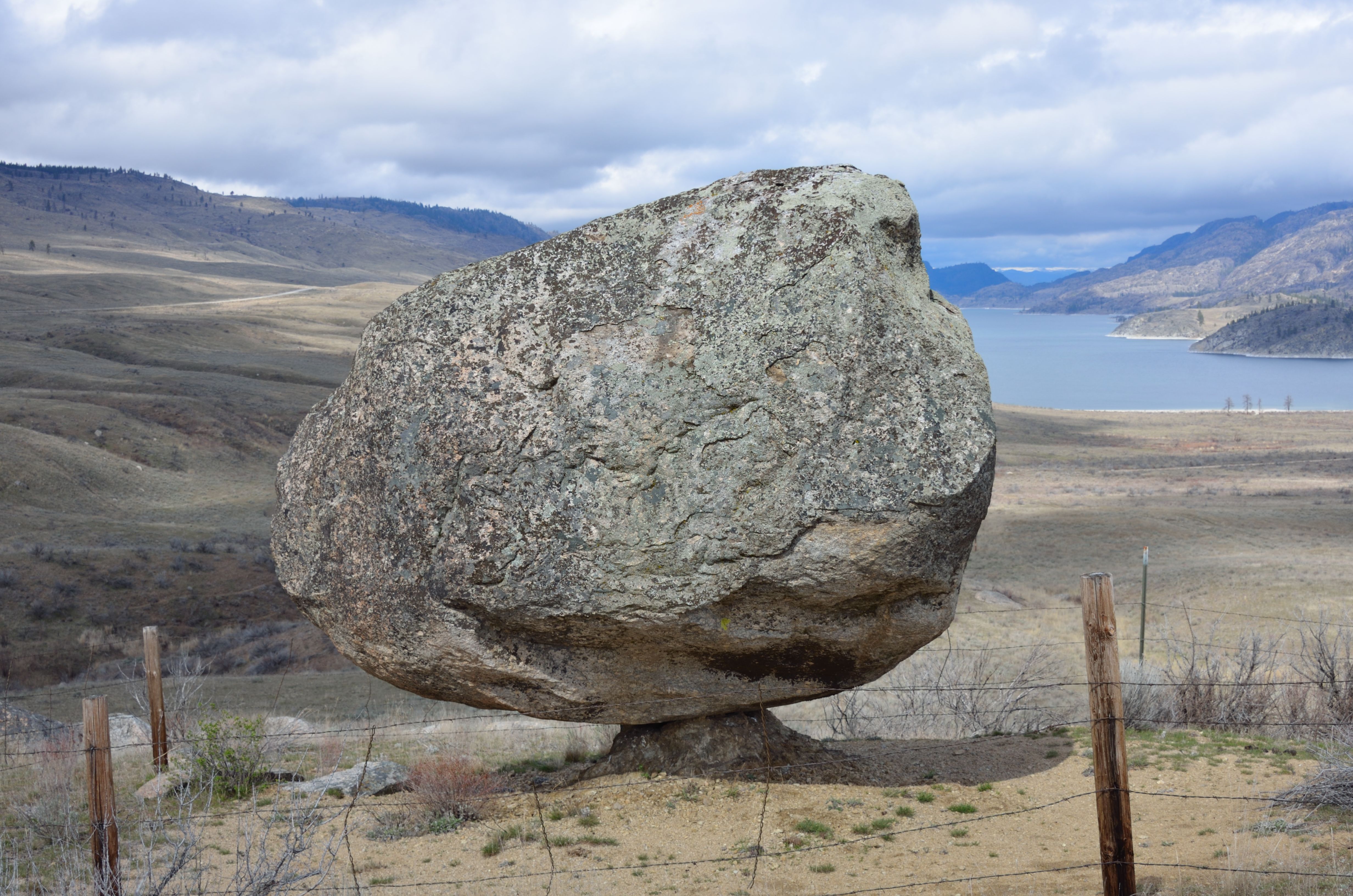
Balancing Rock from below
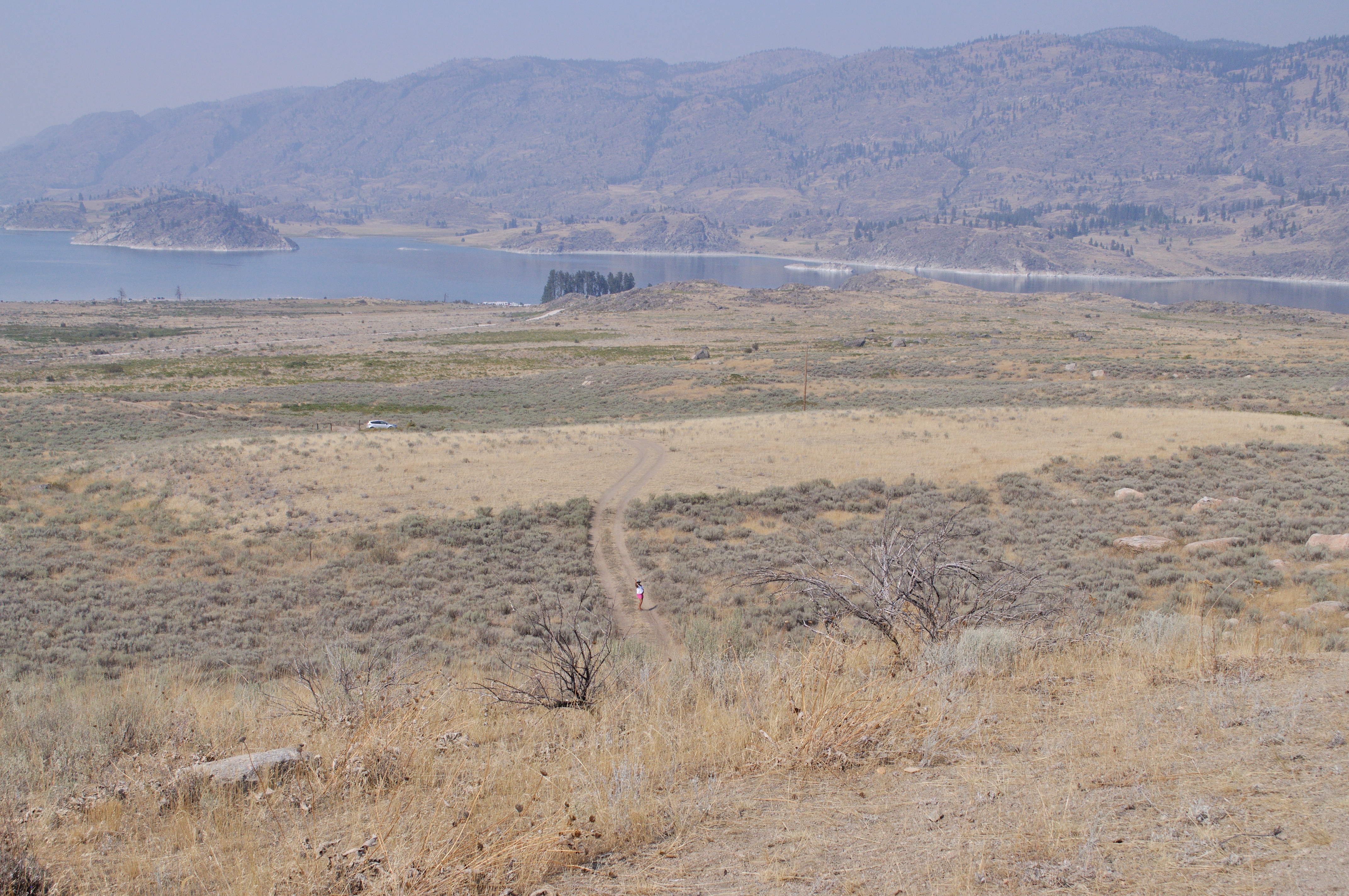
Looking down the hill from Omak Rock
Racy Body
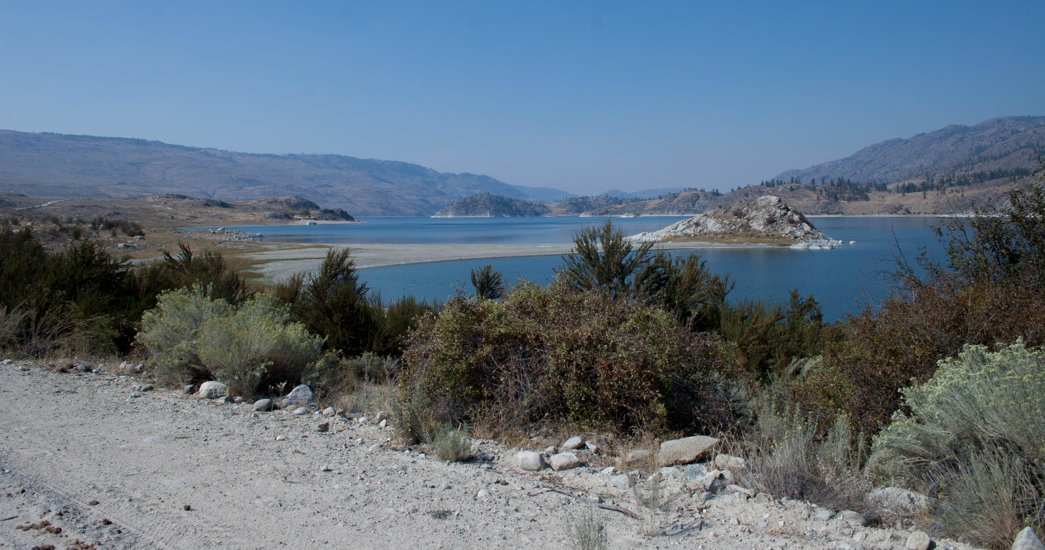
Omak Lake
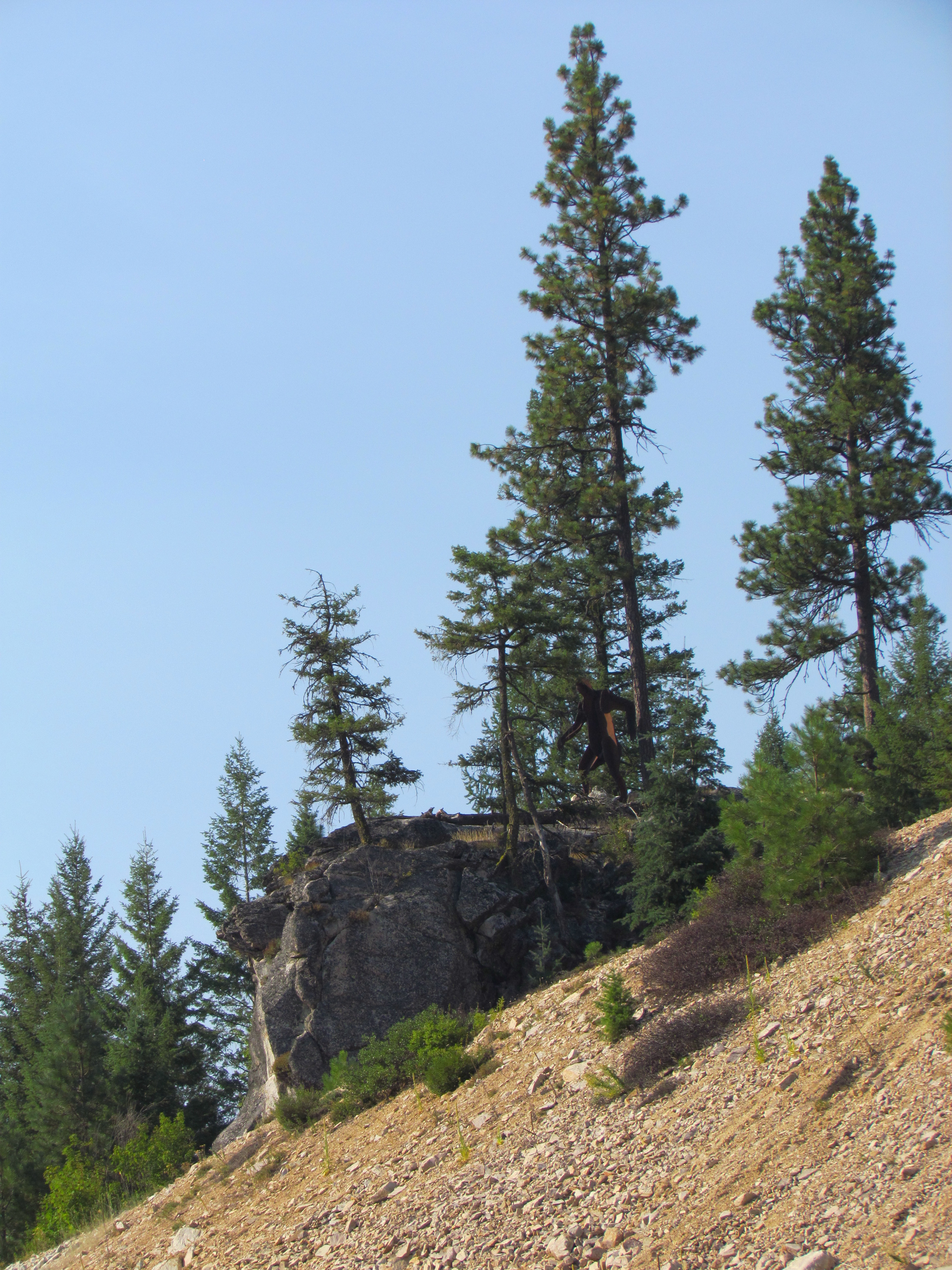
Okanagon Sasquatch from a distance
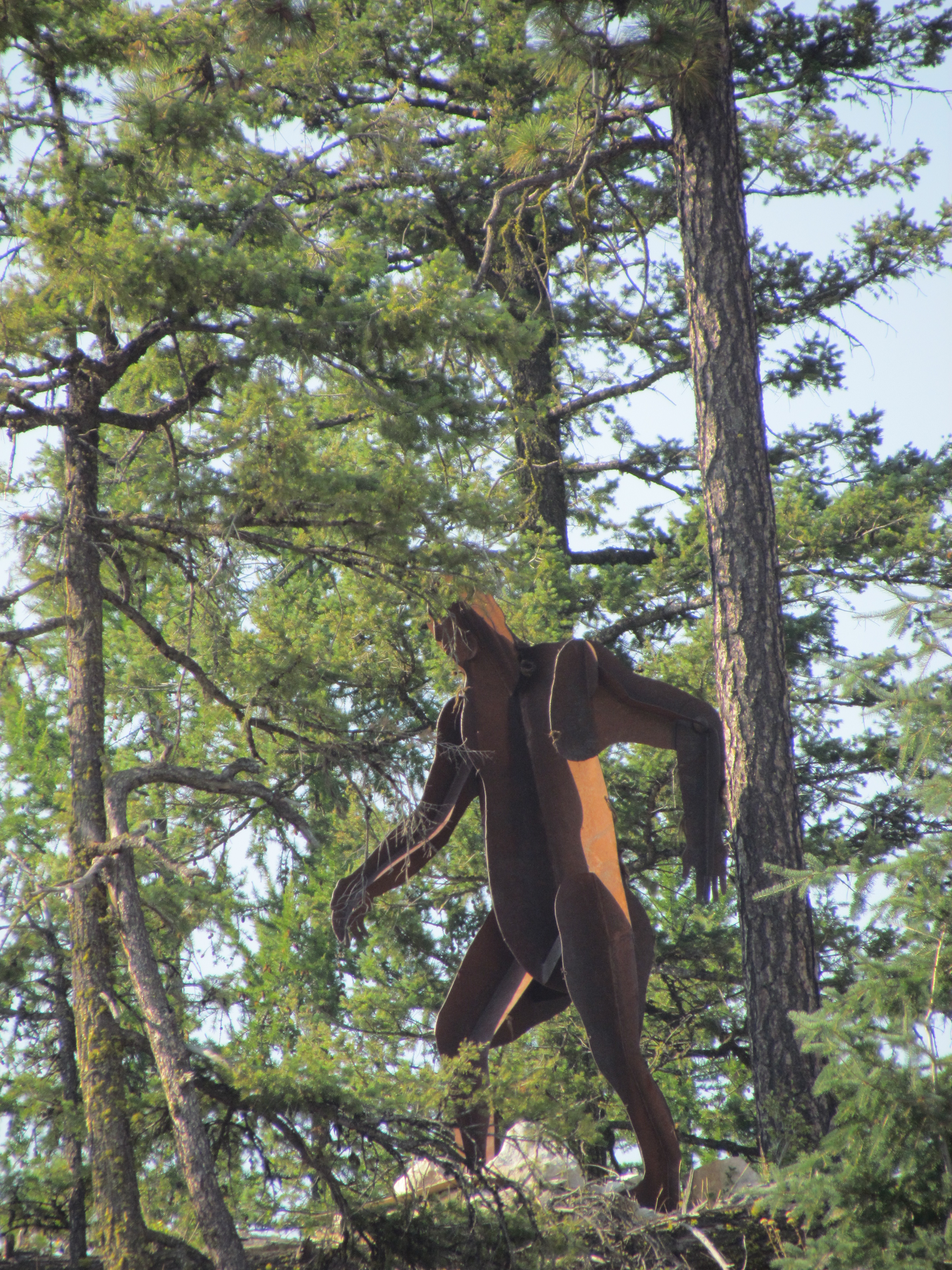
Okanagon Sasquatch zoomed

Last shot

On display
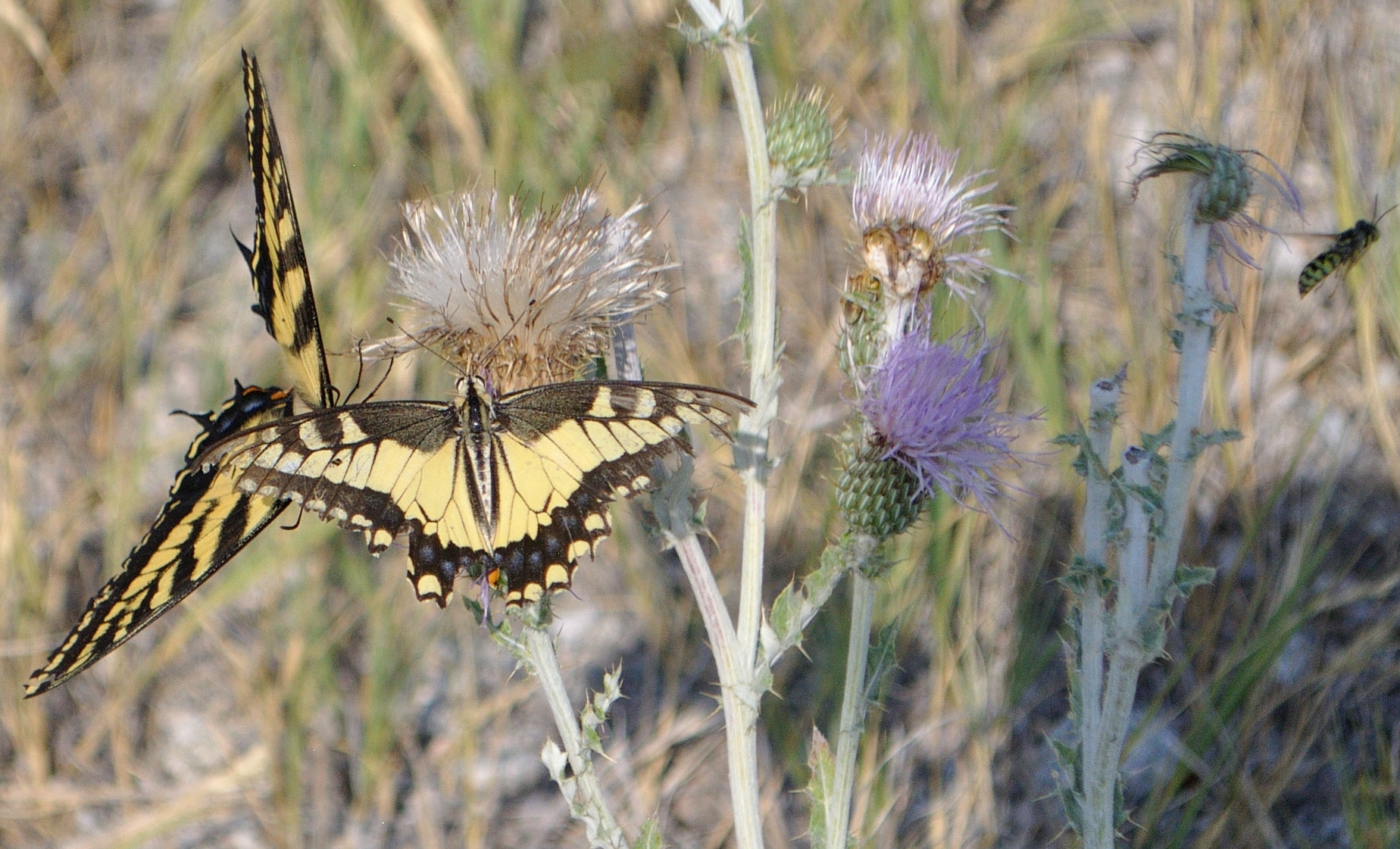
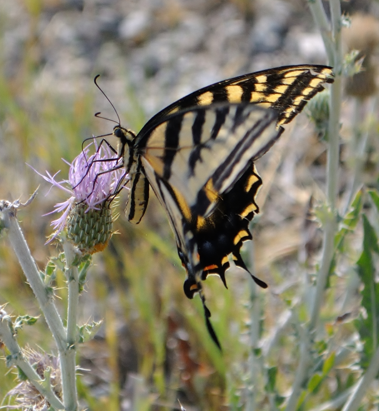
Popular Thistle-dom
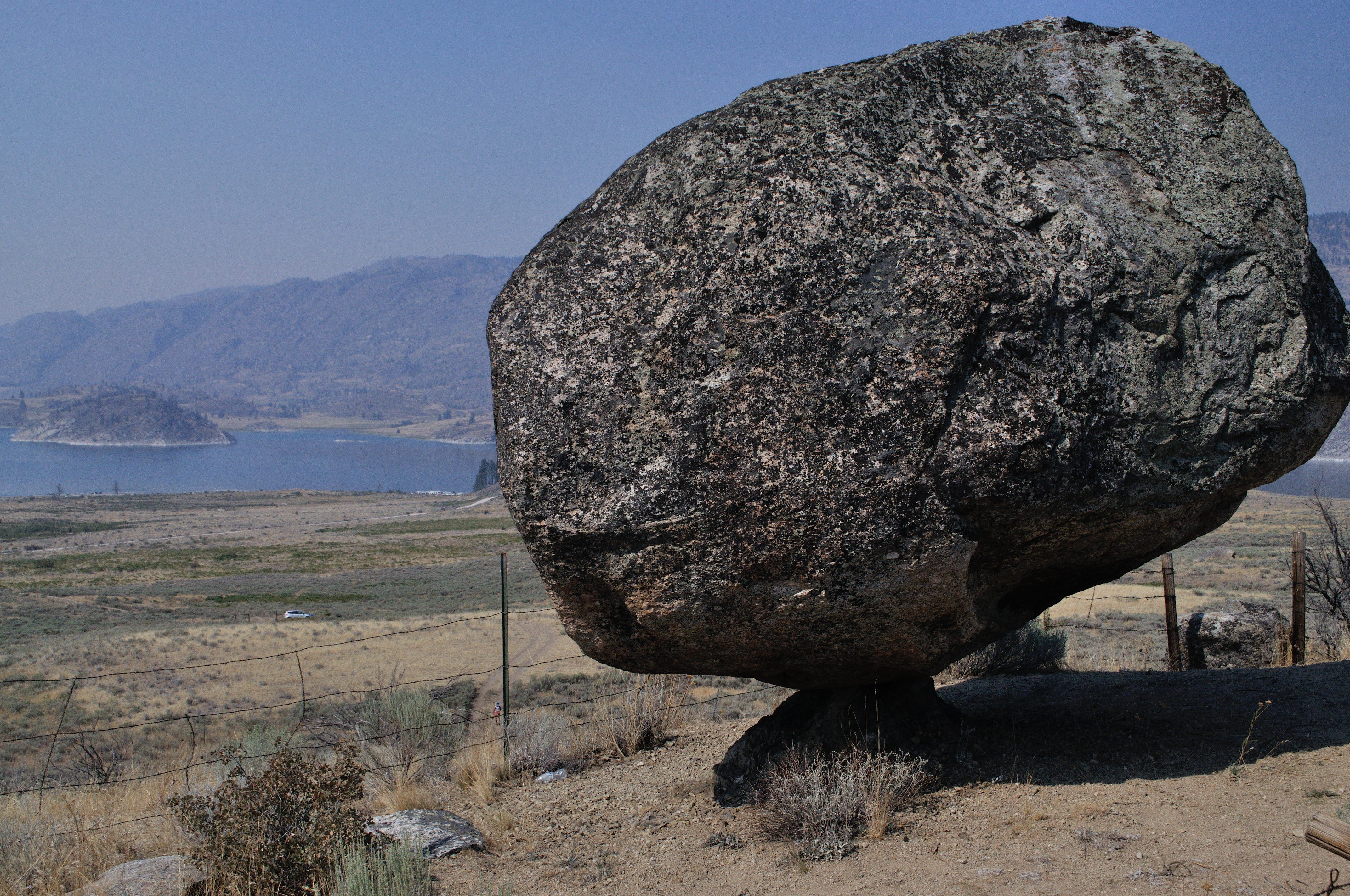
AKA Omak Rock
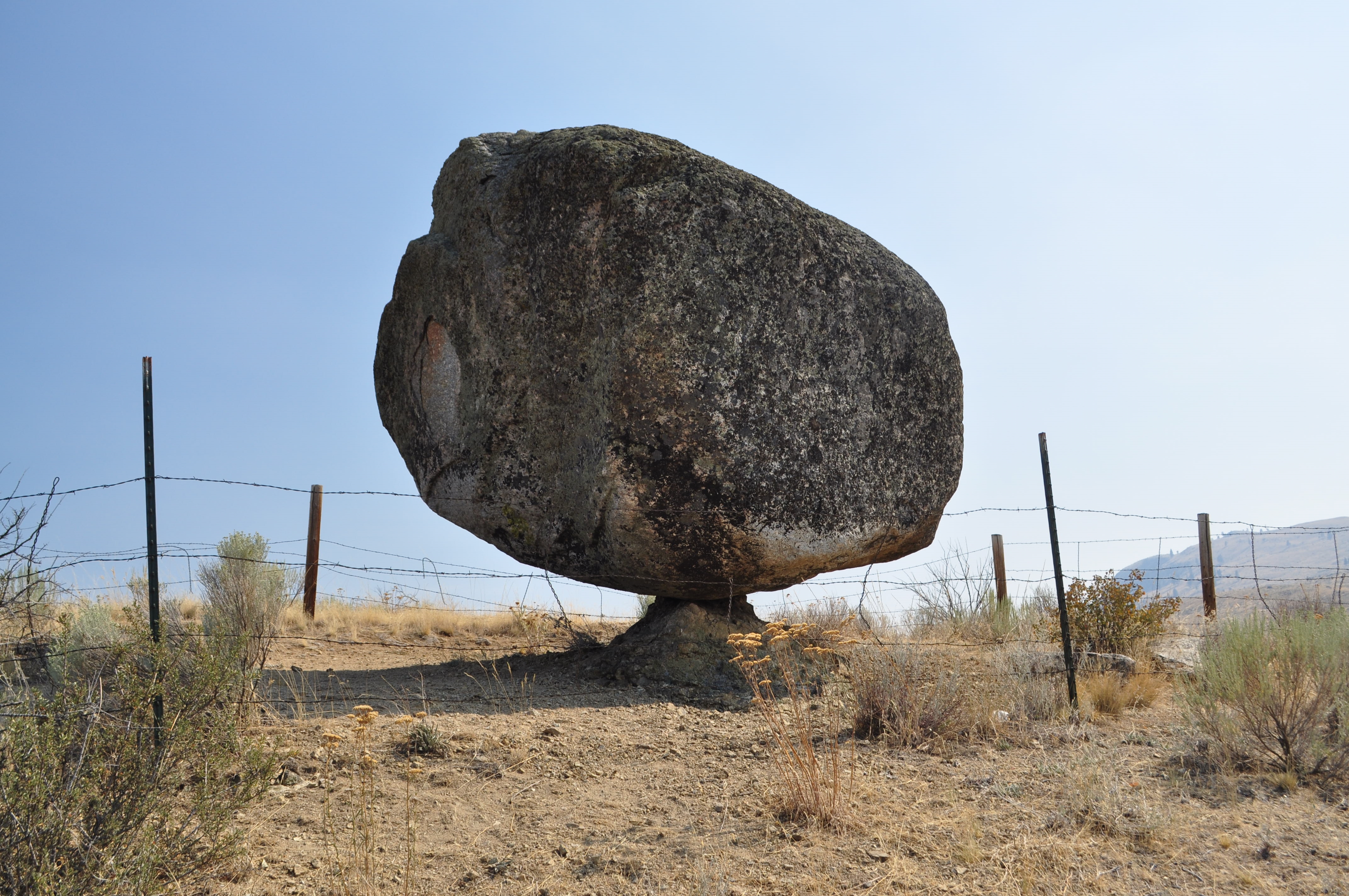
Balance Rock
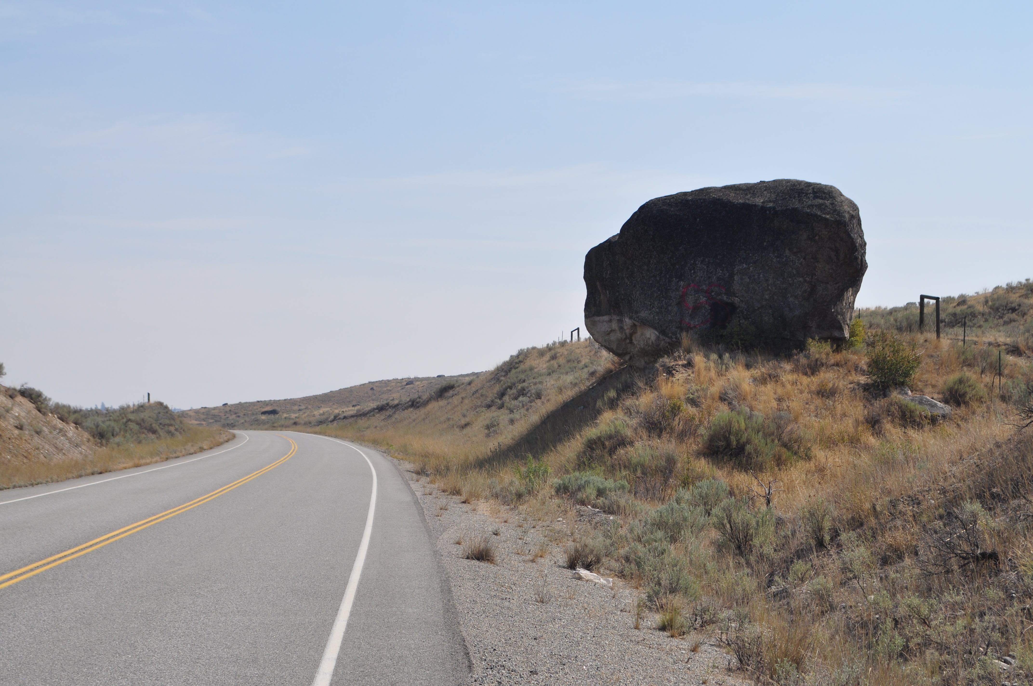
A glacial erratic!
Water Break
He's real...
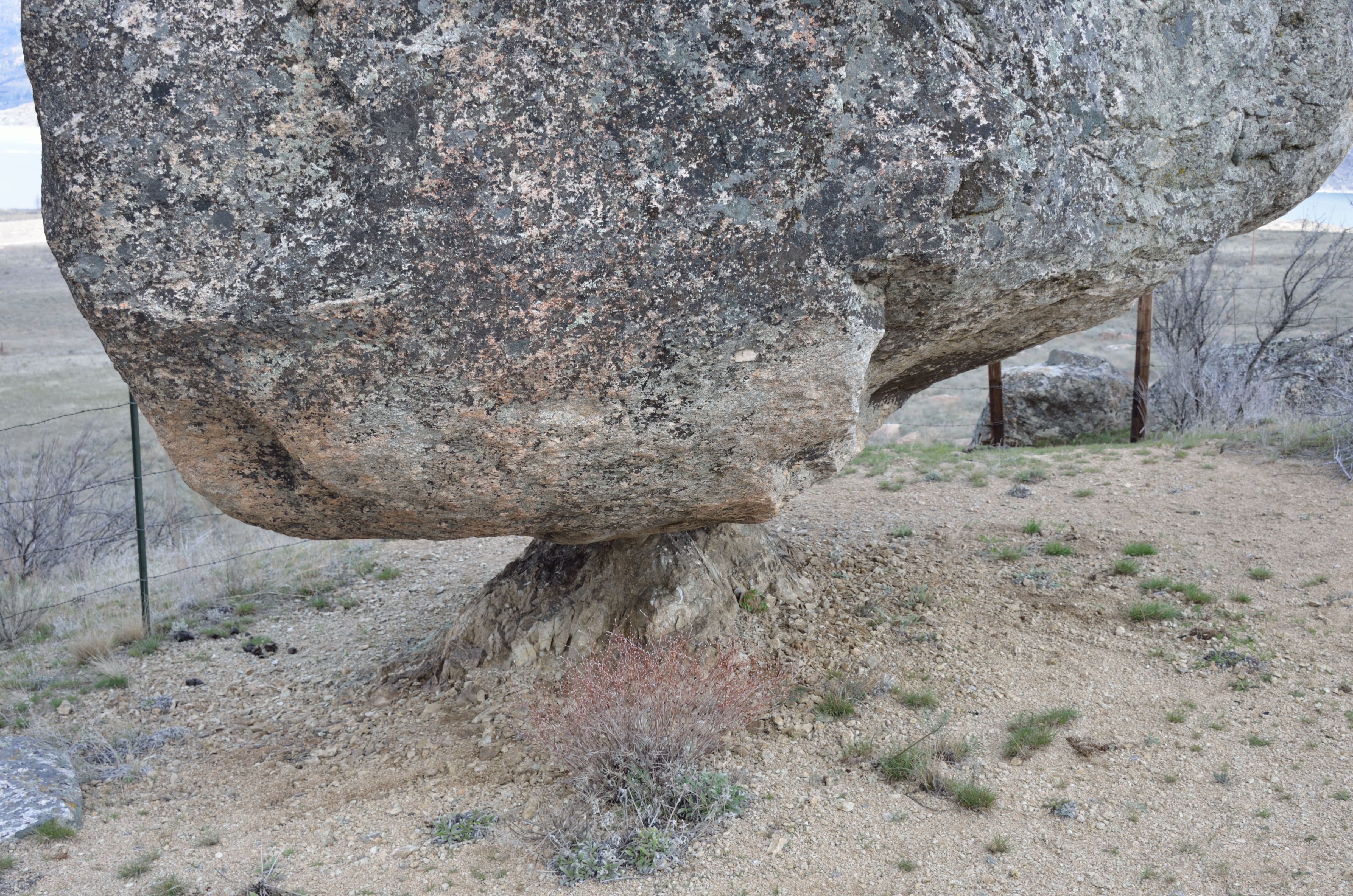
Balancing Rock
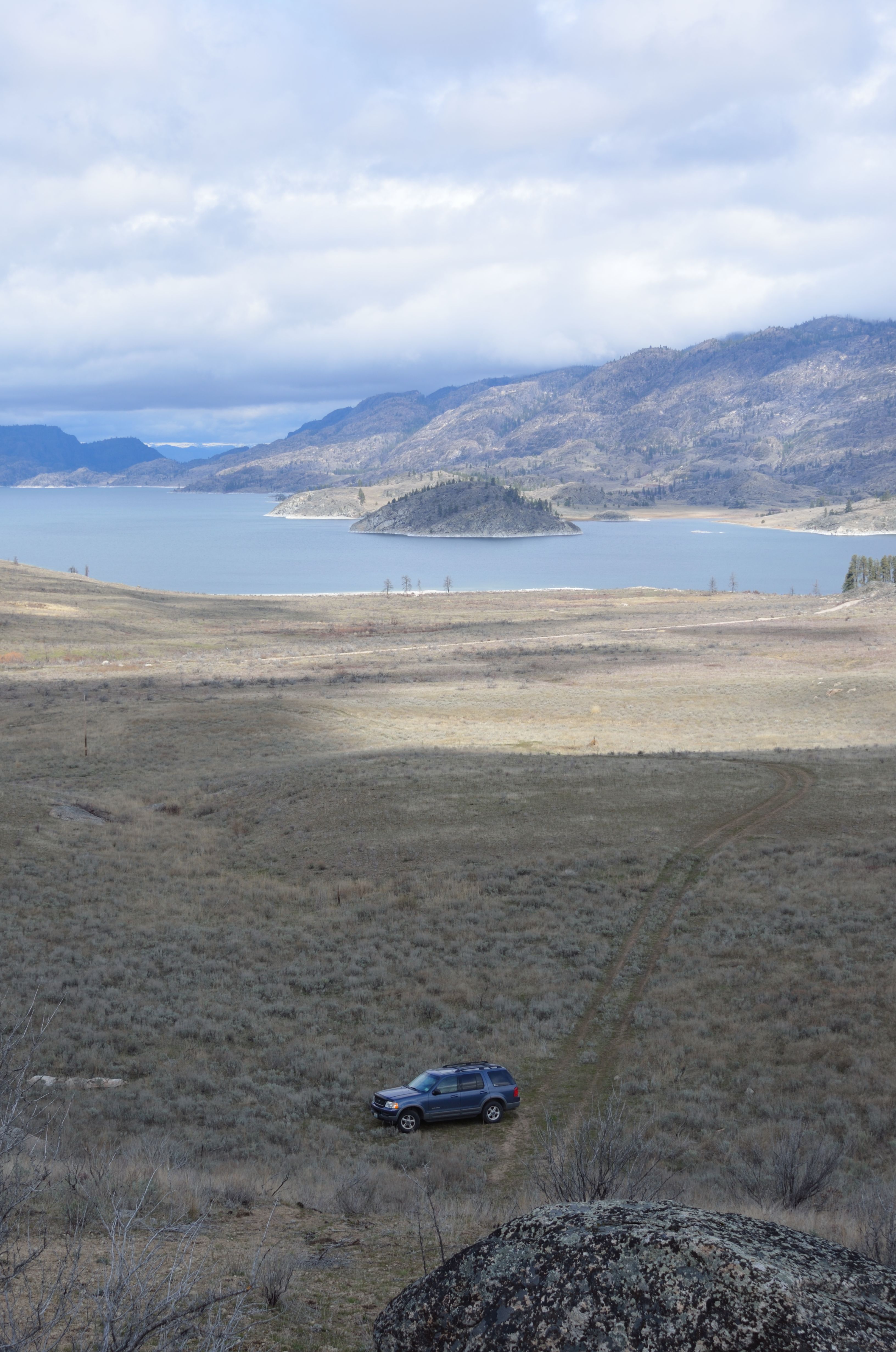
Omak Lake from Balancing Rock
Balancing Rock and Omak Lake
Topographic Map of Whitmore Mountain, Washington, USA
Find elevation by address:

Places near Whitmore Mountain, Washington, USA:
401 North End Omak Lake Rd
23 Cache Creek Rd, Omak, WA, USA
Nespelem
Crawfish Lake
67 Moomaw Rd
75 Eastman Mill Rd
Spokane Blvd NE, Grand Coulee, WA, USA
Grand Coulee
Coulee Dam
111 Armitage Hill Rd
Armitage Hill Road
Omak
1458 Lyman Lake-moses Mountain Rd
1458 Lyman Lake-moses Mountain Rd
1458 Lyman Lake-moses Mountain Rd
1458 Co Hwy 3785
528 J H Green Rd
1213 Tunk Creek Rd
Lyman Lake Campground
Riverside
Recent Searches:
- Elevation of Elwyn Dr, Roanoke Rapids, NC, USA
- Elevation of Congressional Dr, Stevensville, MD, USA
- Elevation of Bellview Rd, McLean, VA, USA
- Elevation of Stage Island Rd, Chatham, MA, USA
- Elevation of Shibuya Scramble Crossing, 21 Udagawacho, Shibuya City, Tokyo -, Japan
- Elevation of Jadagoniai, Kaunas District Municipality, Lithuania
- Elevation of Pagonija rock, Kranto 7-oji g. 8"N, Kaunas, Lithuania
- Elevation of Co Rd 87, Jamestown, CO, USA
- Elevation of Tenjo, Cundinamarca, Colombia
- Elevation of Côte-des-Neiges, Montreal, QC H4A 3J6, Canada