Elevation of Nespelem, WA, USA
Location: United States > Washington > Okanogan County >
Longitude: -118.97474
Latitude: 48.1671004
Elevation: 561m / 1841feet
Barometric Pressure: 95KPa
Elevation Map:
Satellite Map:
Related Photos:
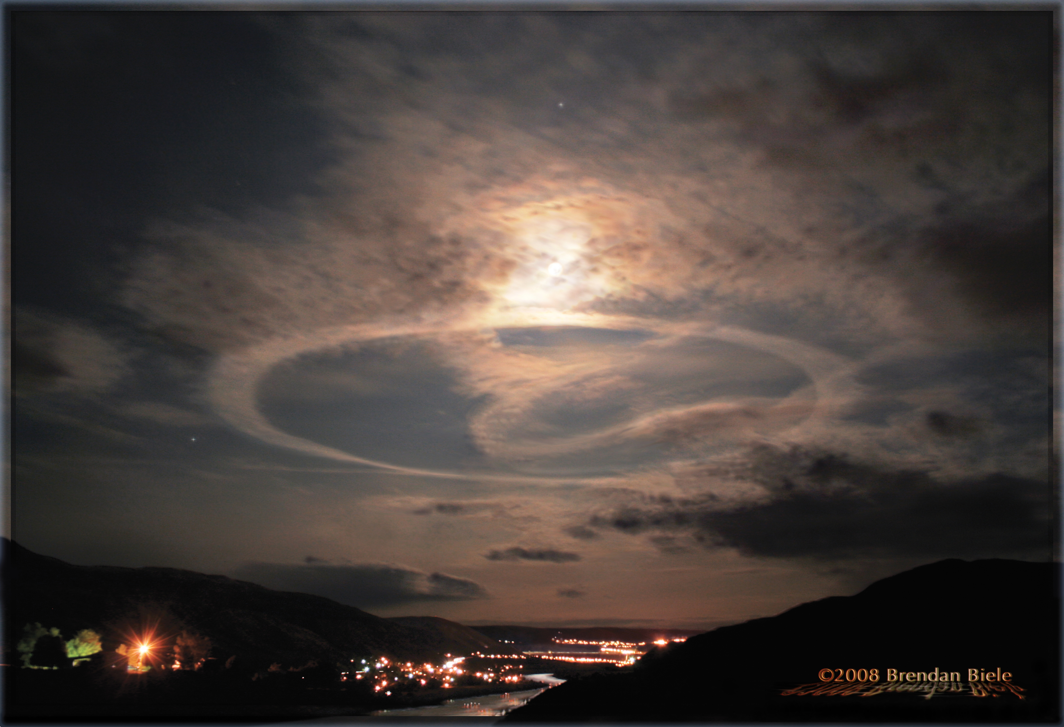
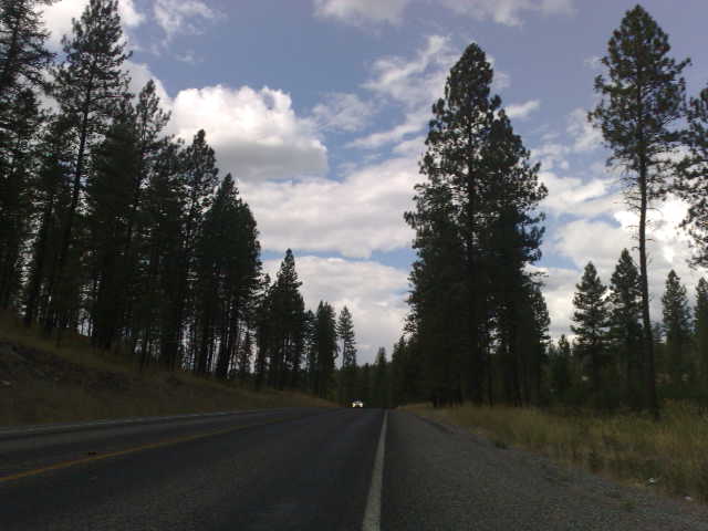
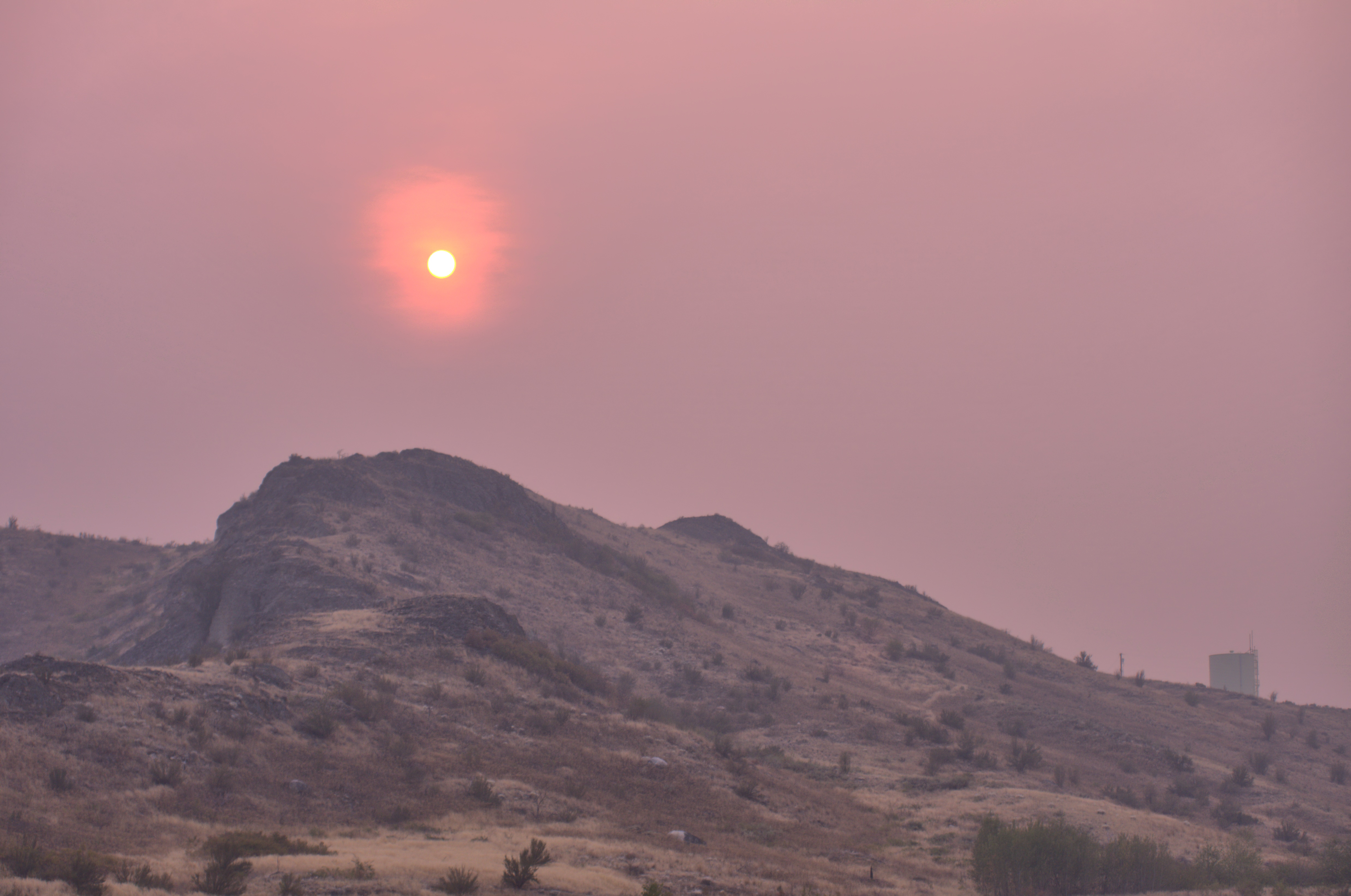
Coulee Contrail
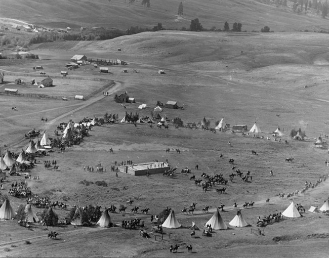
Nez Perce Nimiipu, Nez Perce, Washington
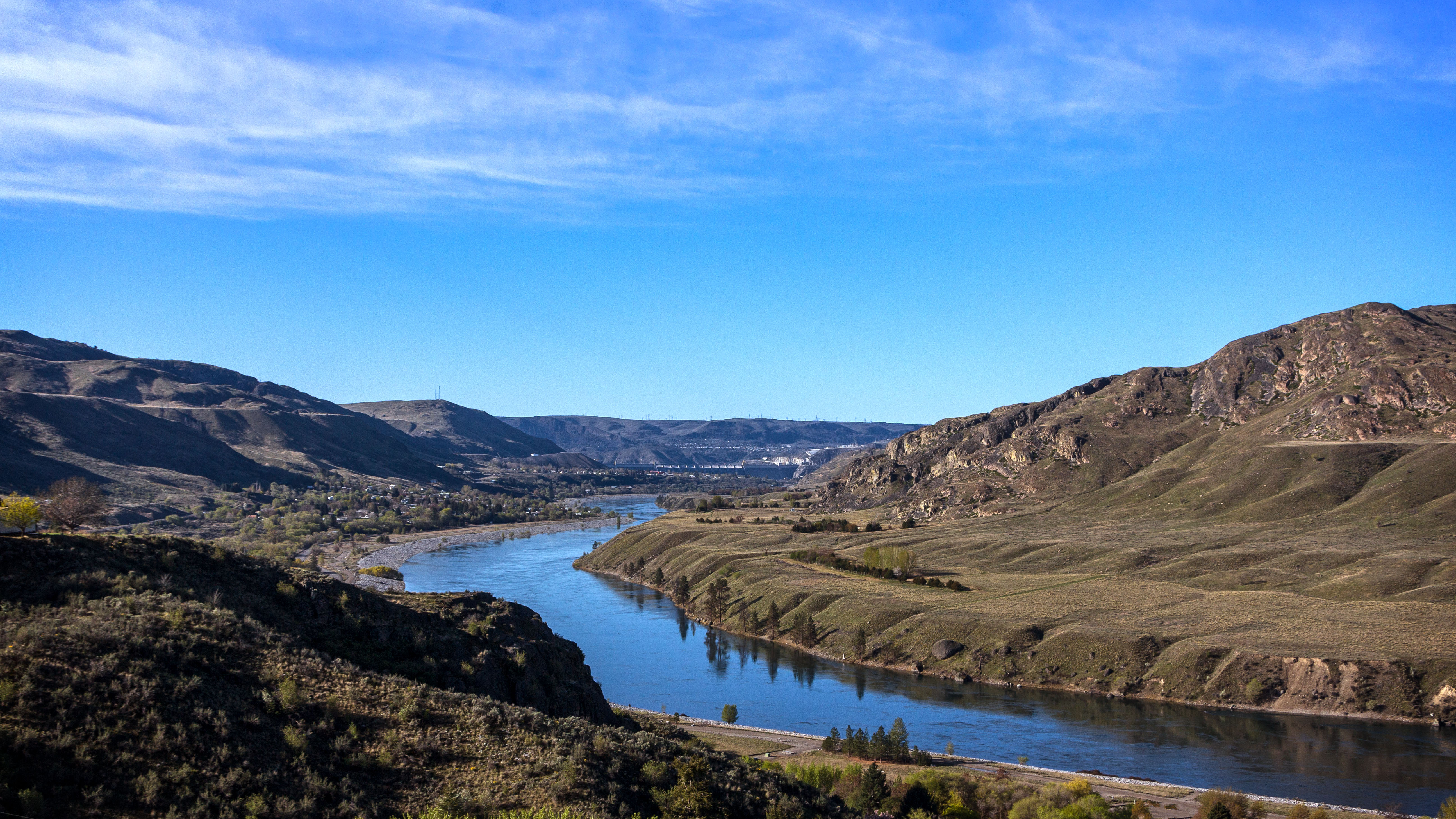
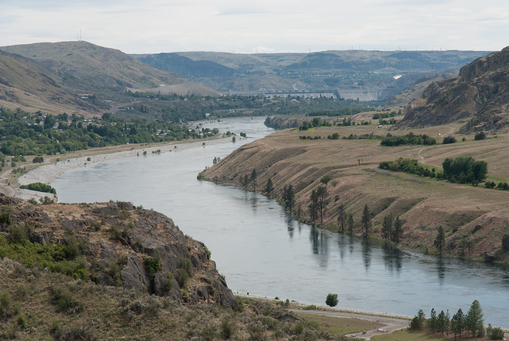
Roll on Columbia
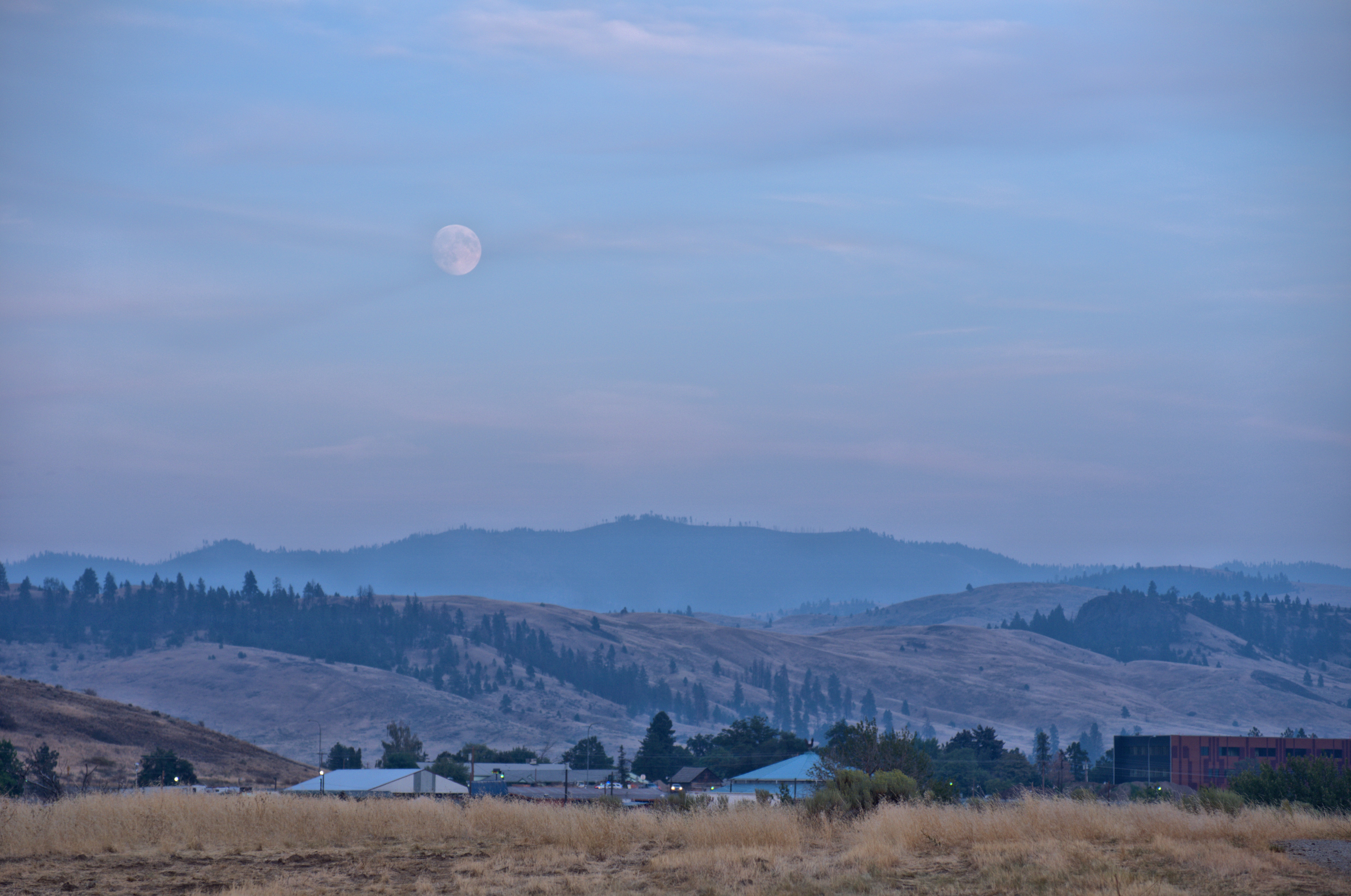
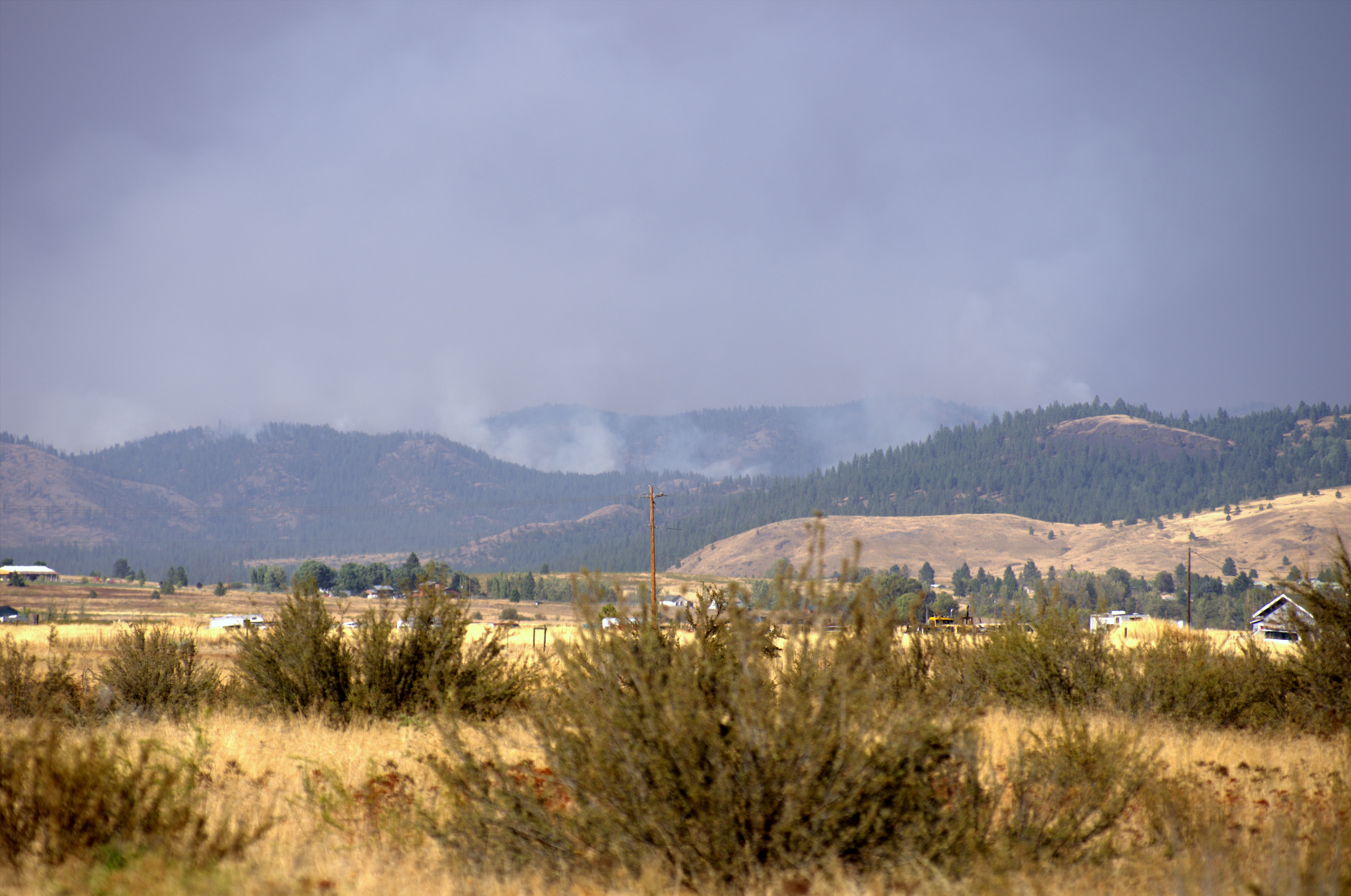
Blue Steel took a picture!
Blue Steel took a picture!
Blick auf den Grand Coulee Dam

DAZ53804 -1
DAZ53682 -1
DAZ53671 -1
DAZ53619 -1
Topographic Map of Nespelem, WA, USA
Find elevation by address:

Places in Nespelem, WA, USA:
Places near Nespelem, WA, USA:
23 Cache Creek Rd, Omak, WA, USA
Coulee Dam
Grand Coulee
Spokane Blvd NE, Grand Coulee, WA, USA
Whitmore Mountain
1458 Lyman Lake-moses Mountain Rd
1458 Lyman Lake-moses Mountain Rd
1458 Lyman Lake-moses Mountain Rd
1458 Co Hwy 3785
Old Coulee Road & Douglas Road East
61 Chopaka Way W
Lost Creek Way
Lyman Lake Campground
East Sorona
28 E Sorona
Aeneas Valley Rd, Tonasket, WA, USA
1276 Aeneas Valley Rd
1241 Aeneas Valley Rd
1241 Aeneas Valley Rd
Crawfish Lake
Recent Searches:
- Elevation of Corso Fratelli Cairoli, 35, Macerata MC, Italy
- Elevation of Tallevast Rd, Sarasota, FL, USA
- Elevation of 4th St E, Sonoma, CA, USA
- Elevation of Black Hollow Rd, Pennsdale, PA, USA
- Elevation of Oakland Ave, Williamsport, PA, USA
- Elevation of Pedrógão Grande, Portugal
- Elevation of Klee Dr, Martinsburg, WV, USA
- Elevation of Via Roma, Pieranica CR, Italy
- Elevation of Tavkvetili Mountain, Georgia
- Elevation of Hartfords Bluff Cir, Mt Pleasant, SC, USA