Elevation of Tunk Creek Rd, Riverside, WA, USA
Location: United States > Washington > Okanogan County > Riverside >
Longitude: -119.50089
Latitude: 48.505749
Elevation: -10000m / -32808feet
Barometric Pressure: 295KPa
Elevation Map:
Satellite Map:
Related Photos:

Evening #sky in Omak, WA #clouds #sunset #view #omak #washington #travel #longweekend #cloudporn #sunsetlovers #skyporn #iphonephotography

Rays Of Warmth

View from Windy Hill

View from Omak Wal Mart

View from Omak Wal Mart

Northern Cascades
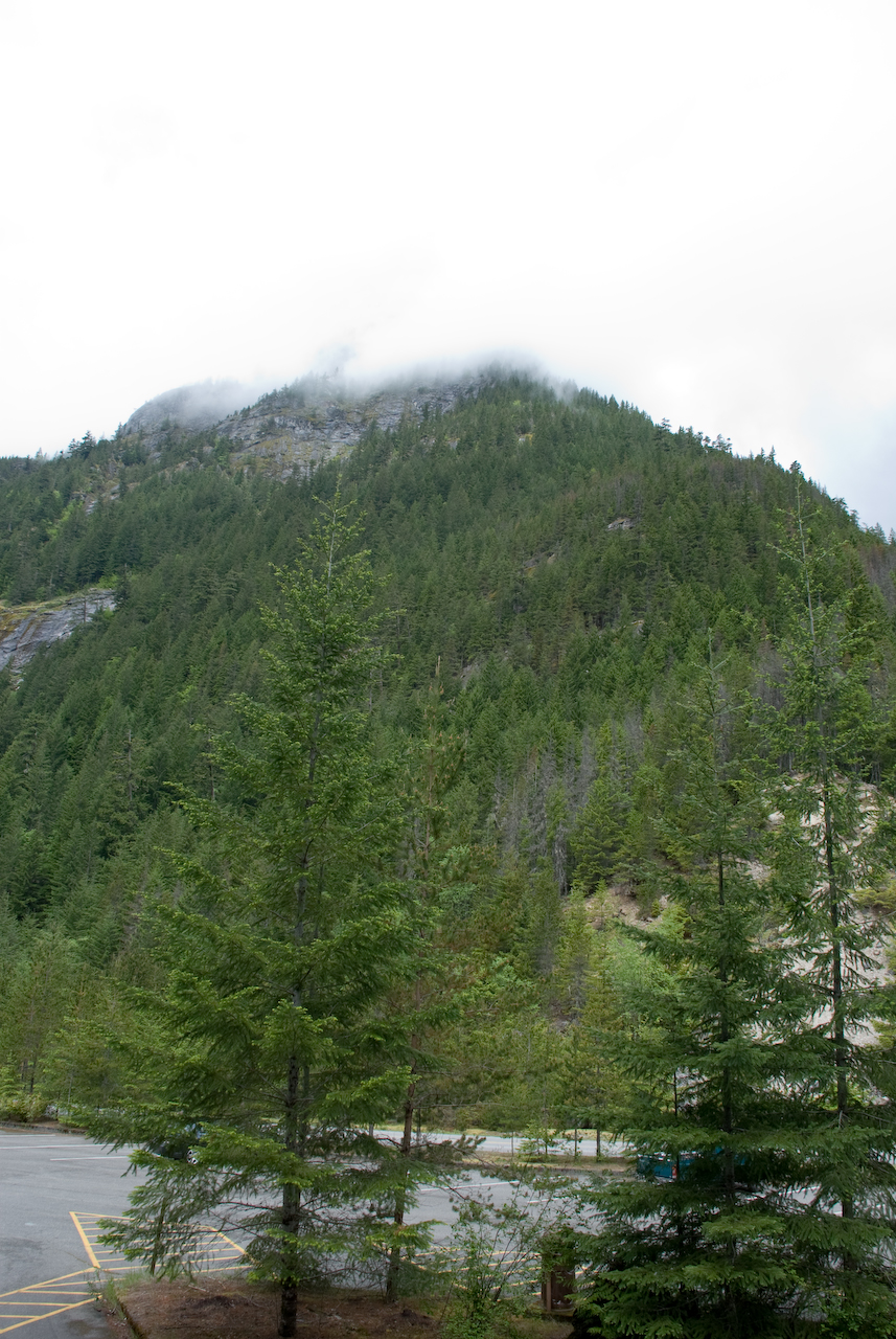
Northern Cascades

Cascade and Columbia RR
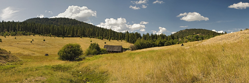
High Mountain Meadow

Central Avenue Bridge (Omak, Washington)

Central Avenue Bridge (Omak, Washington)

My new 2003 Nisson Xterra in the snow on JH Green Rd.

Omak, WA #ontheroad #motorcycle #roadtrip #travel #bc #washington #mytravelgram

Seen next to a gas station

Most of the race

Okanogan Valley from Mount Olive

HT: Agriculture in Washington State

P2015-05-20 14.51.58
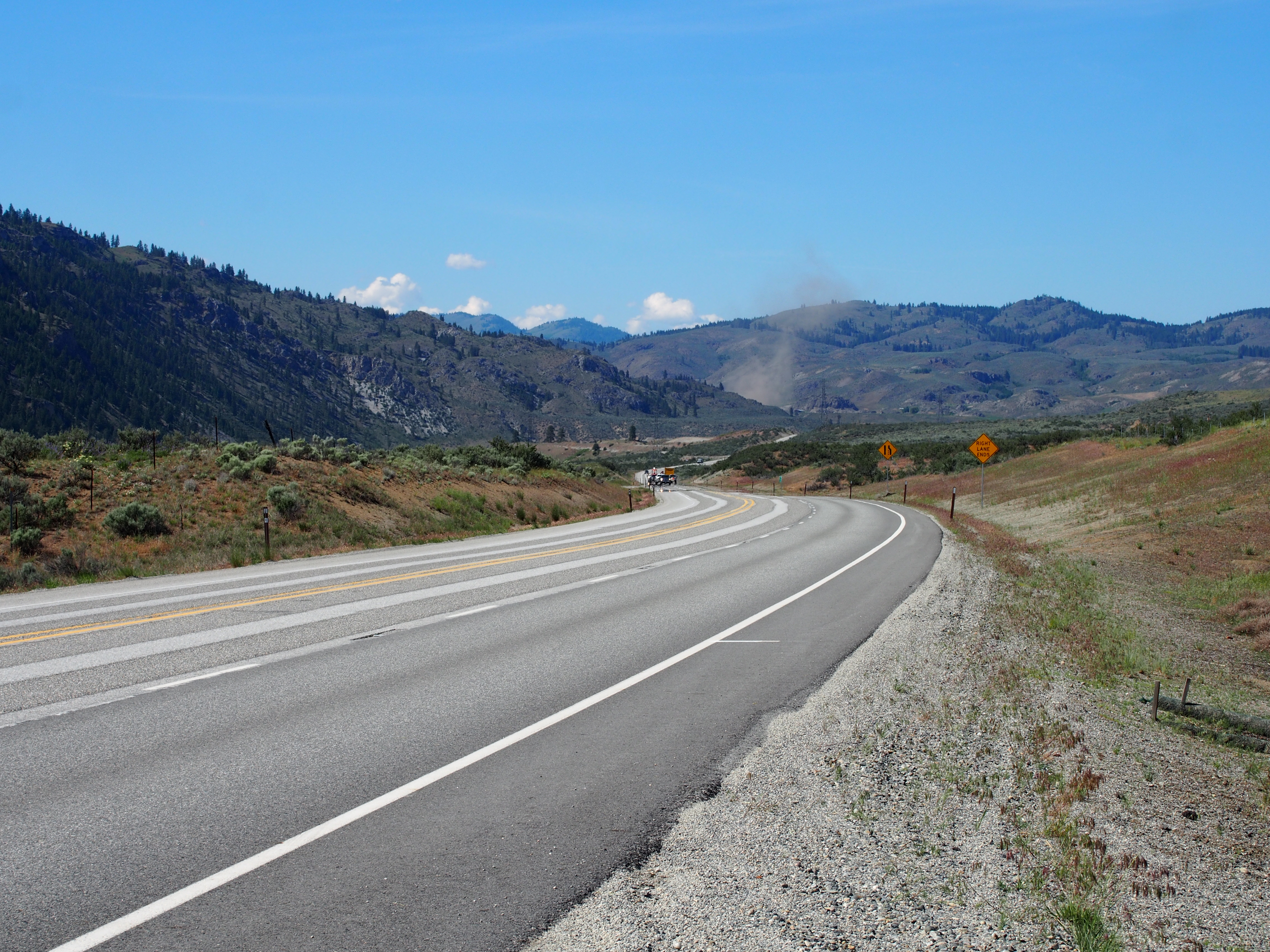
SR-20

P2015-05-20 15.01.01

P2015-05-20 15.21.02

P2015-05-20 15.44.55

Okanogan horses
Topographic Map of Tunk Creek Rd, Riverside, WA, USA
Find elevation by address:

Places near Tunk Creek Rd, Riverside, WA, USA:
Riverside
Omak
67 Sage Hills Road
67 Moomaw Rd
Armitage Hill Road
111 Armitage Hill Rd
2 Farver Ln
401 North End Omak Lake Rd
528 J H Green Rd
Tonasket
Highway 7
20 Valley View Dr
75 Eastman Mill Rd
389 Talkire Lake Rd
103 E Bannon Creek Rd
WA-20, Tonasket, WA, USA
102 Upper Reevas Basin Rd
Bannon Mountain
Crawfish Lake
Whitestone Lake
Recent Searches:
- Elevation of Leguwa, Nepal
- Elevation of County Rd, Enterprise, AL, USA
- Elevation of Kolchuginsky District, Vladimir Oblast, Russia
- Elevation of Shustino, Vladimir Oblast, Russia
- Elevation of Lampiasi St, Sarasota, FL, USA
- Elevation of Elwyn Dr, Roanoke Rapids, NC, USA
- Elevation of Congressional Dr, Stevensville, MD, USA
- Elevation of Bellview Rd, McLean, VA, USA
- Elevation of Stage Island Rd, Chatham, MA, USA
- Elevation of Shibuya Scramble Crossing, 21 Udagawacho, Shibuya City, Tokyo -, Japan