Elevation of Whitestone Lake, Washington, USA
Location: United States > Washington > Okanogan County > Tonasket >
Longitude: -119.47699
Latitude: 48.7974702
Elevation: 384m / 1260feet
Barometric Pressure: 97KPa
Elevation Map:
Satellite Map:
Related Photos:
IMG_1525
IMG_1540
IMG_1534

Well Deserved Moments
Perfected Notions

The Pacific Northwest Trail wraps around Palmer Lake near Nighthawk, Washington
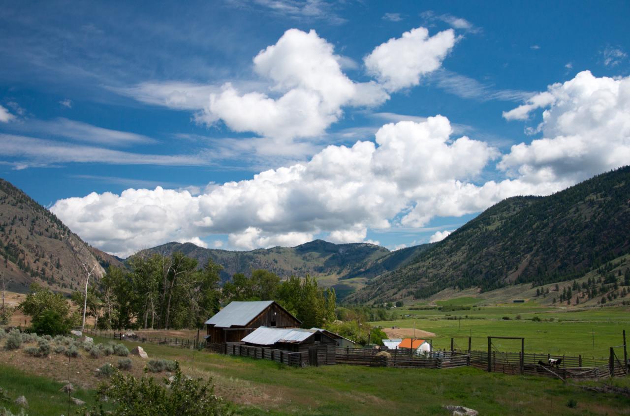
The Pacific Northwest Trail passes an old farm in the Sinlahekin River Valley

Calmness Supreme

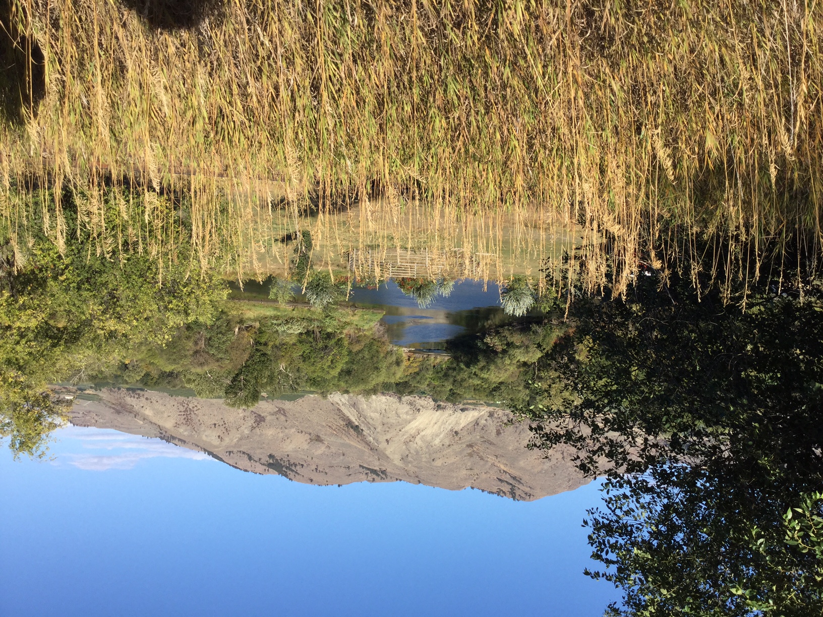
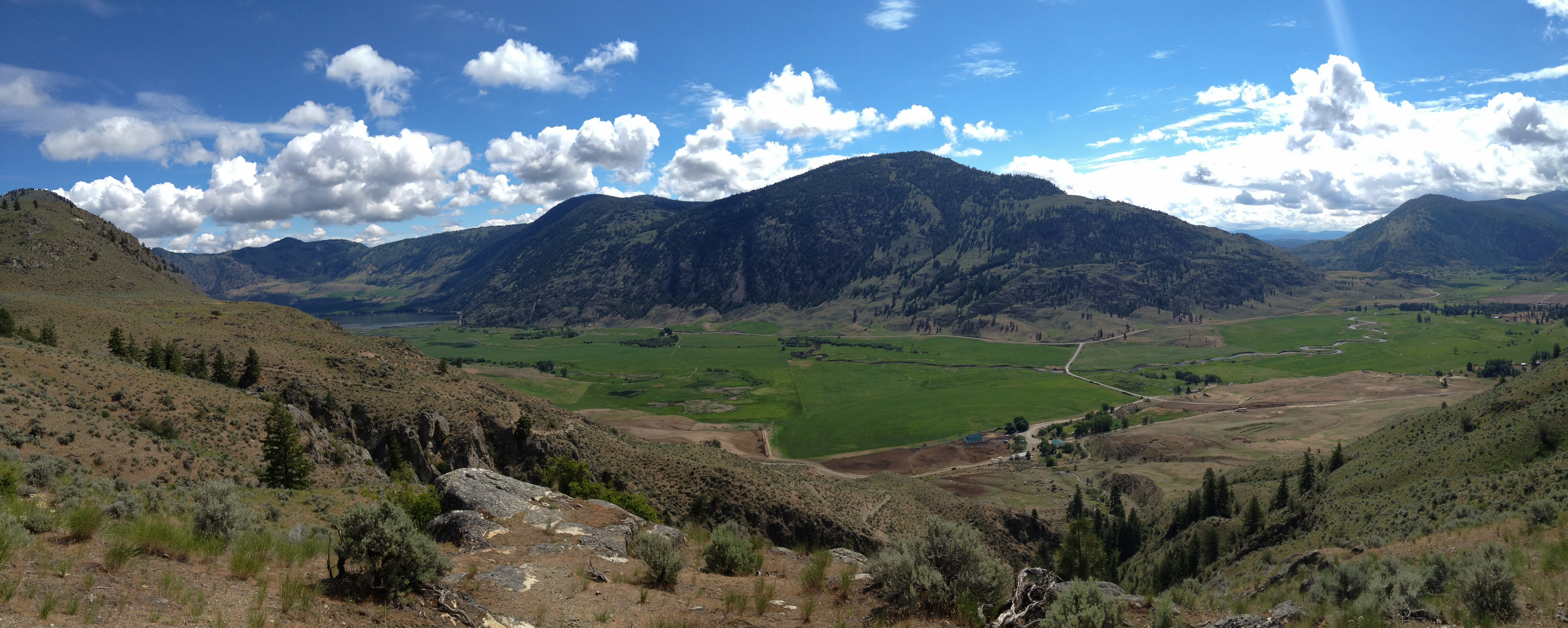
The Sinlahekin River Valley and Palmer Lake
Lasting Impressions
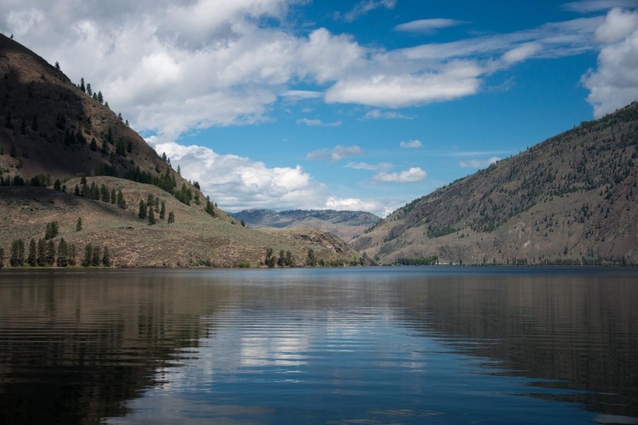
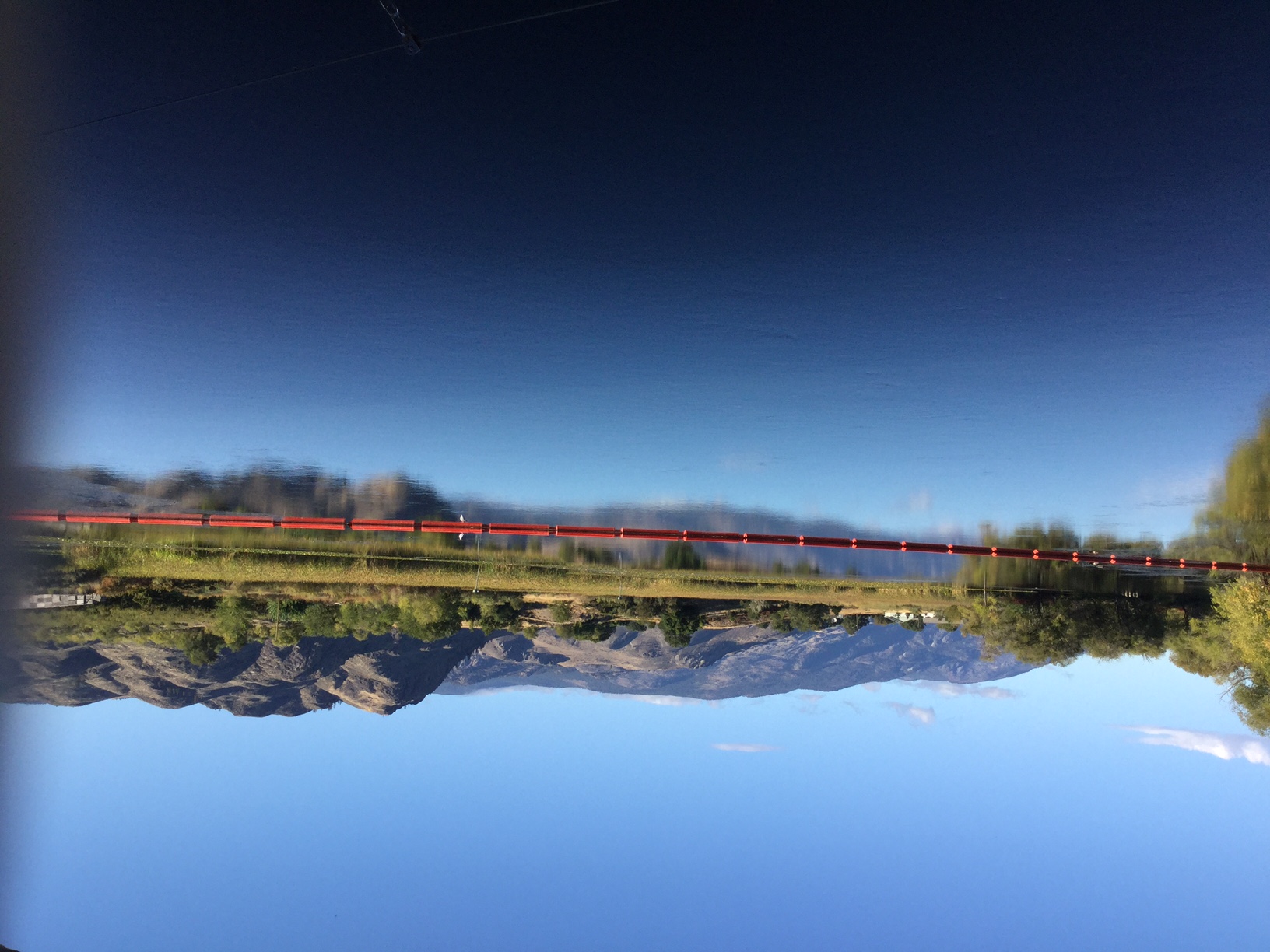
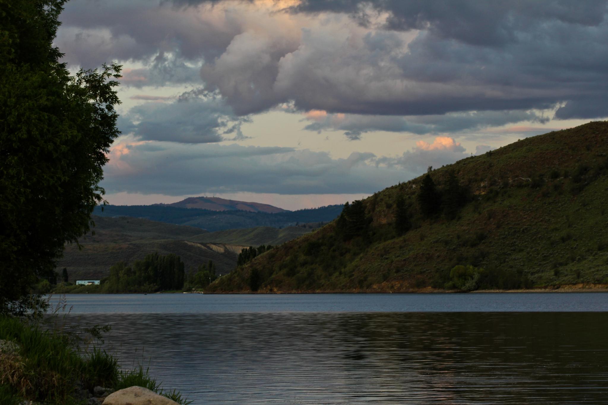
Peaceful waters of Palmer Lake, near Nighthawk, Washington
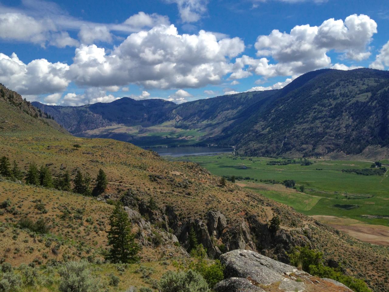
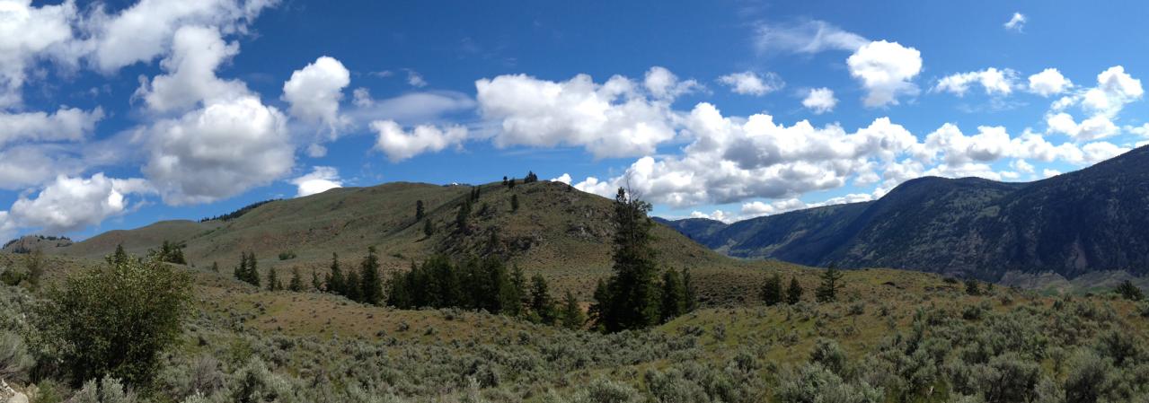
Looking up the Sinlahekin River Valley towards Palmer Lake from the Pacific Northwest Trail as it ascends into the Loomis State Forest

happy day
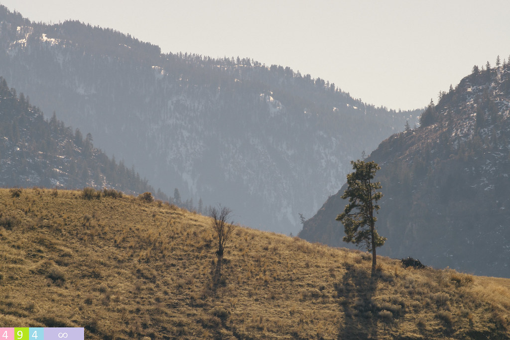
Classic Eastern Washington landscape near Nighthawk, Washington
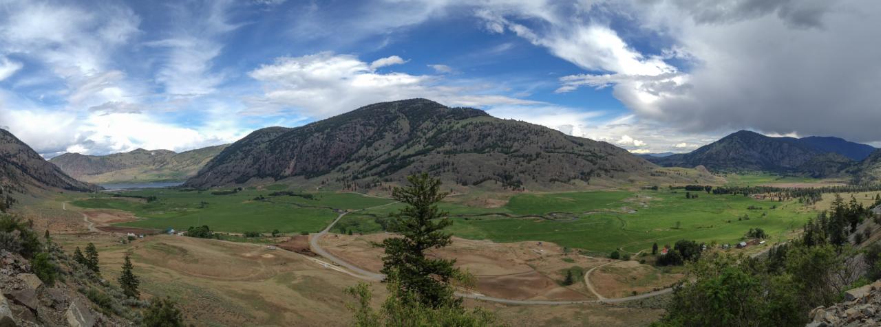
The Sinlahekin River Valley

Sunset in Okanogan Highlands

The Pacific Northwest Trail climbs from the Sinlahekin River Valley into the Loomis State Forest
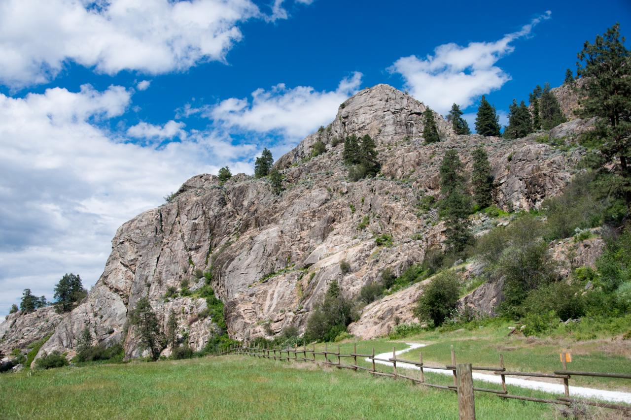
The Pacific Northwest Trail climbs up the rocky face of Whistler Canyon
02-907(a)_Loomis_frm_ridge_above_Highlands_Fire_Camp_Loomis_WA
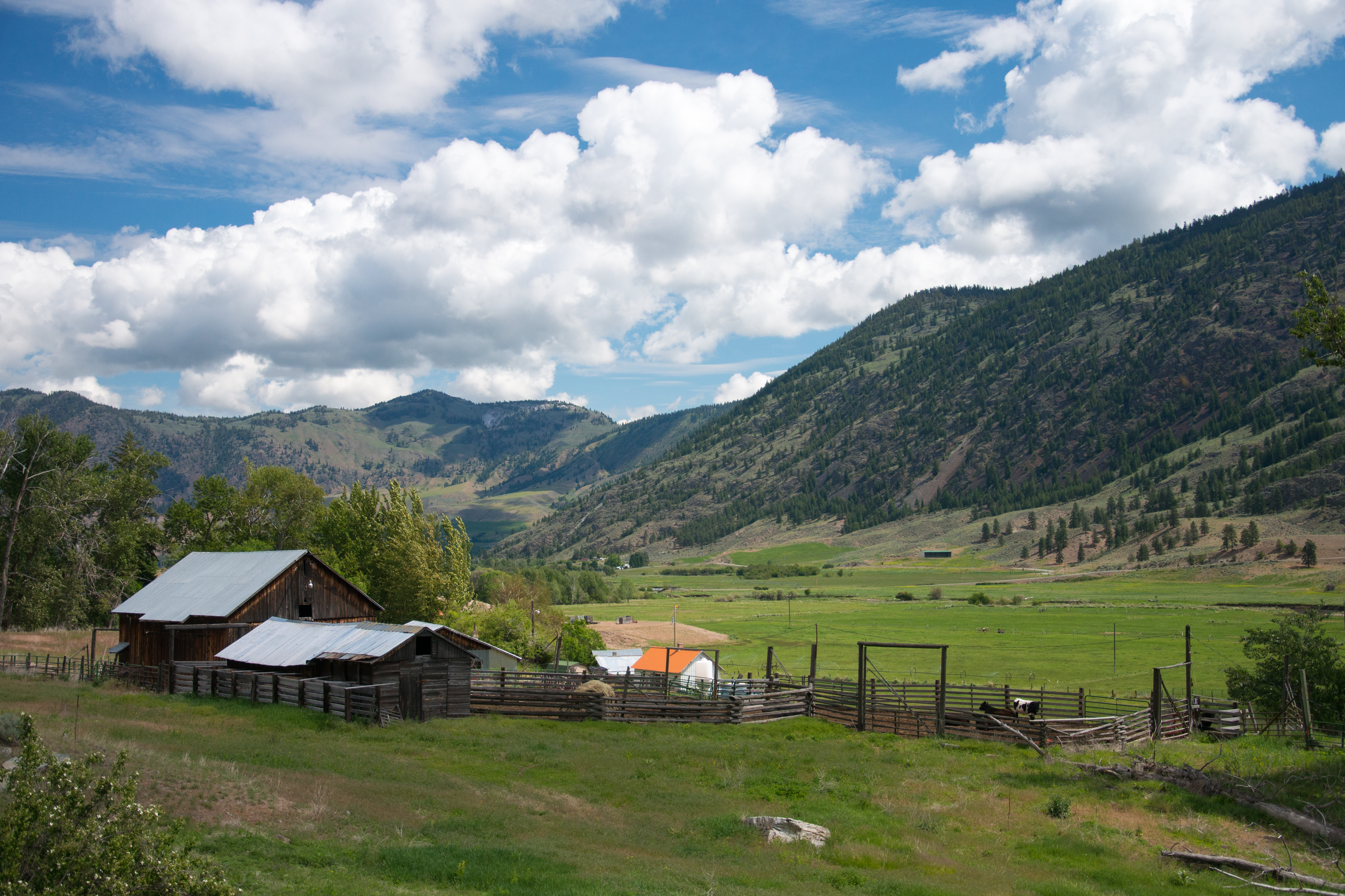
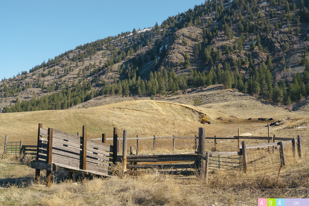
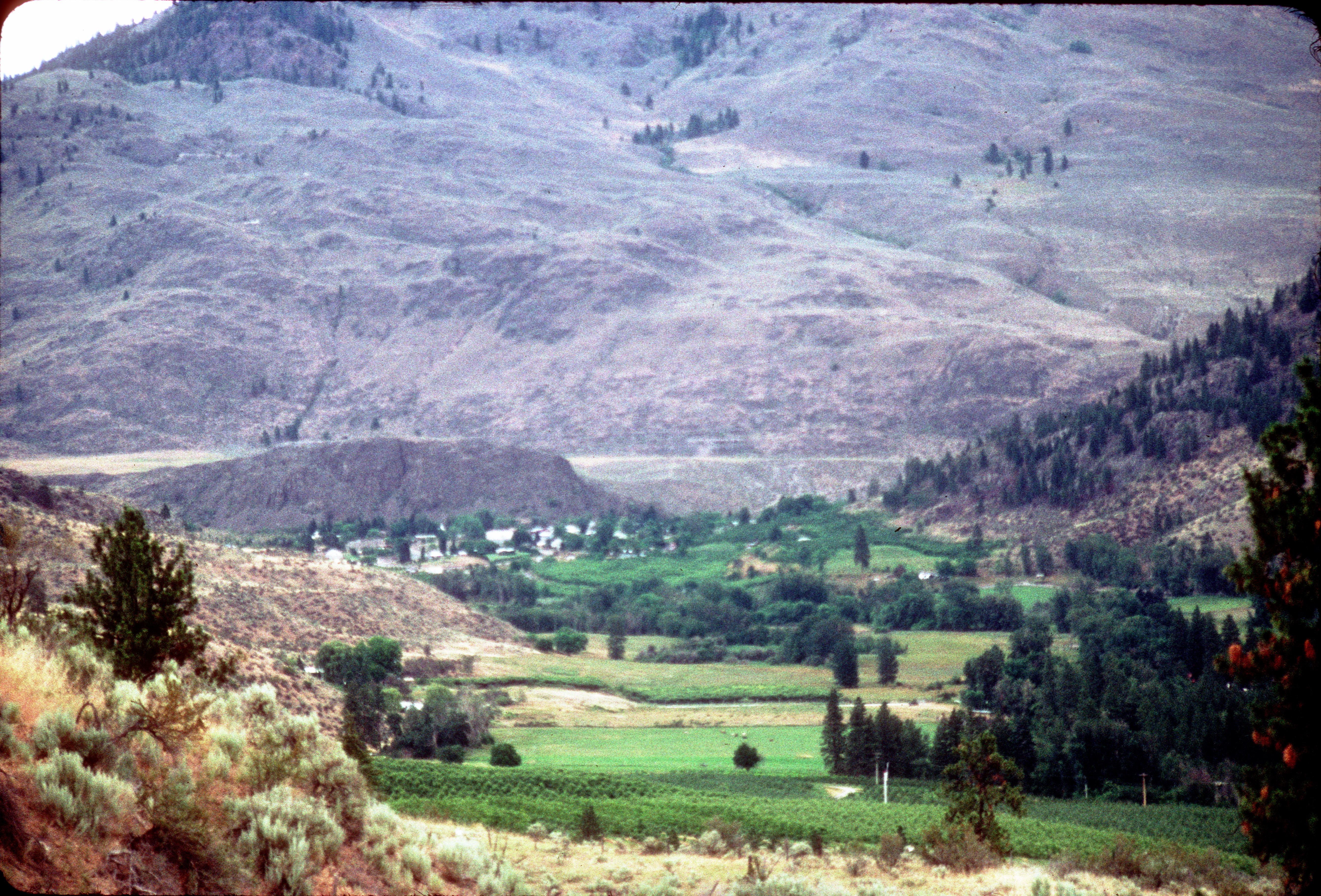
An old farm along the Pacific Northwest Trail in the Sinlahekin Valley near Loomis, Washington
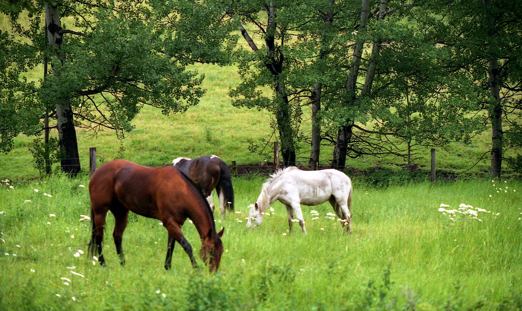
Horses at ranch
The Sinlahekin Valley from the Pacific Northwest Trail near Loomis State Forest, Washington
Sanora Point Lakeside Resort
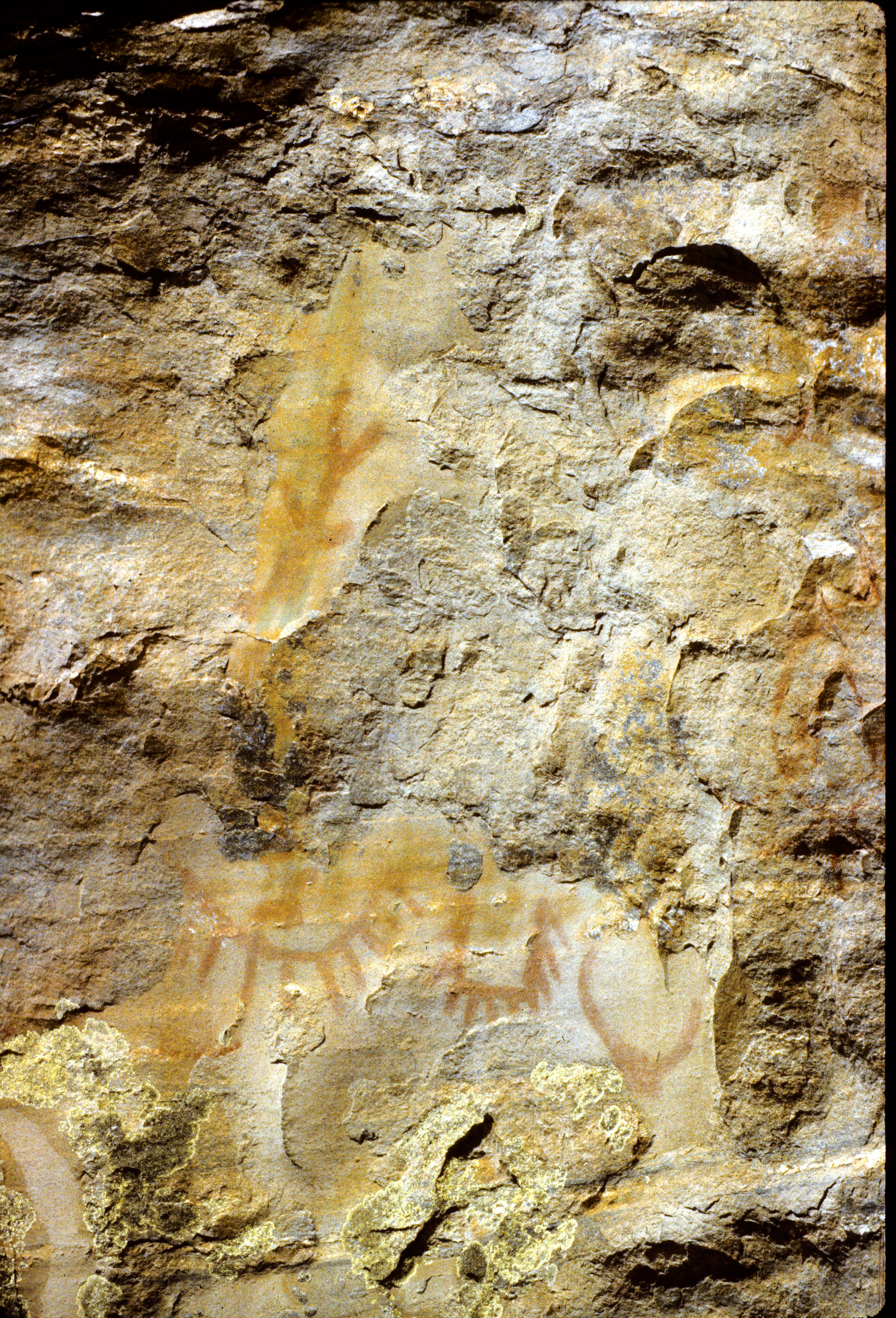
87-190_Indian_petroglyphs_near_Tonasket_WA
Topographic Map of Whitestone Lake, Washington, USA
Find elevation by address:

Places near Whitestone Lake, Washington, USA:
East Wannacut Lane
Wannacut Lake Road
Highway 7
Wannacut Lake
Tonasket
19 Gavin Rd
19 Gavin Rd
20 Valley View Dr
2 Farver Ln
Similkameen River
1105 Apple Way Ave
Oroville
4 Rustlers Hideaway Rd
597 Swanson Mill Rd
16 Summit Lake Rd
646 Swanson Mill Rd
North Ridge Road
67 Sage Hills Road
75 Cougar Canyon Rd
233 Antwyne Ln
Recent Searches:
- Elevation of 7 Waterfall Way, Tomball, TX, USA
- Elevation of SW 57th Ave, Portland, OR, USA
- Elevation of Crocker Dr, Vacaville, CA, USA
- Elevation of Pu Ngaol Community Meeting Hall, HWHM+3X7, Krong Saen Monourom, Cambodia
- Elevation of Royal Ontario Museum, Queens Park, Toronto, ON M5S 2C6, Canada
- Elevation of Groblershoop, South Africa
- Elevation of Power Generation Enterprises | Industrial Diesel Generators, Oak Ave, Canyon Country, CA, USA
- Elevation of Chesaw Rd, Oroville, WA, USA
- Elevation of N, Mt Pleasant, UT, USA
- Elevation of 6 Rue Jules Ferry, Beausoleil, France